About this sheet
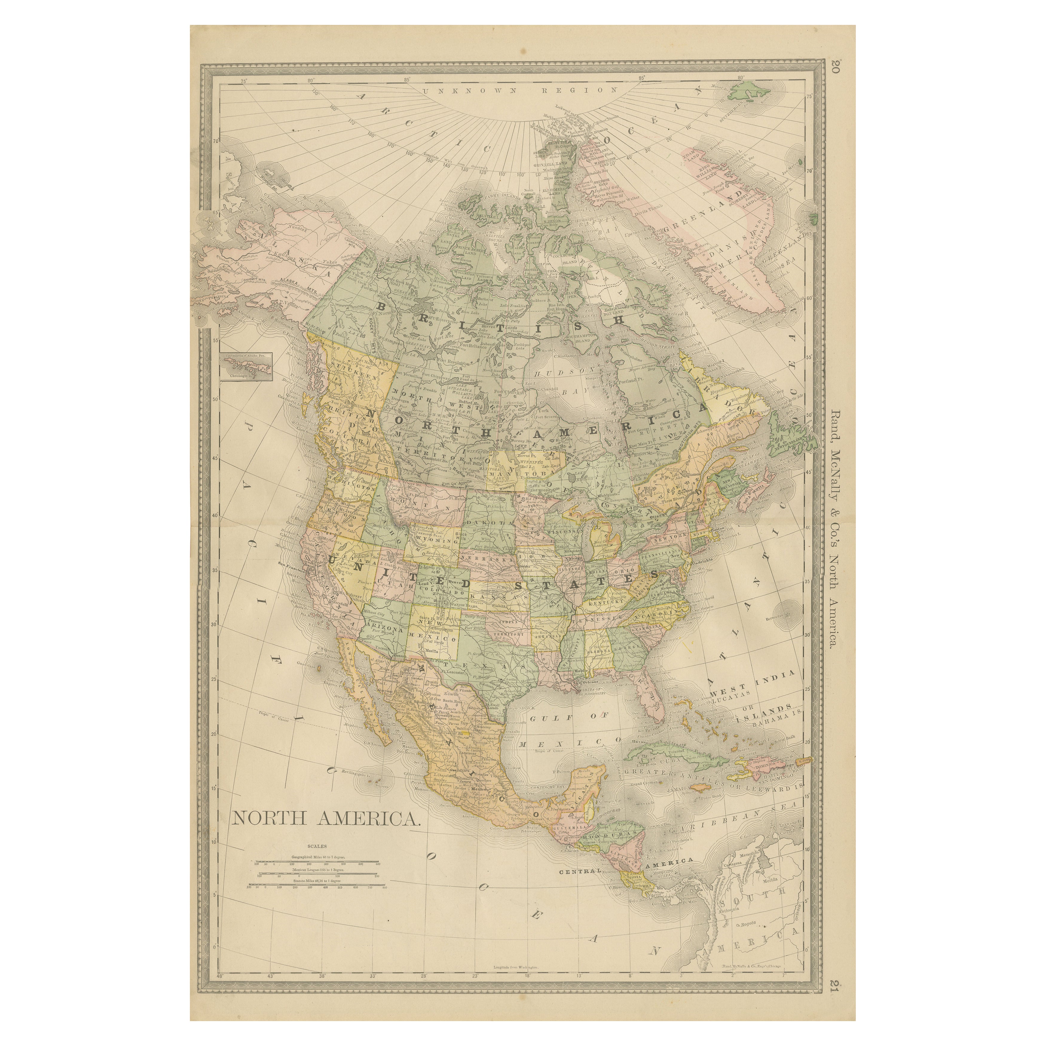
Antique Map of North America – Rand McNally, circa 1888
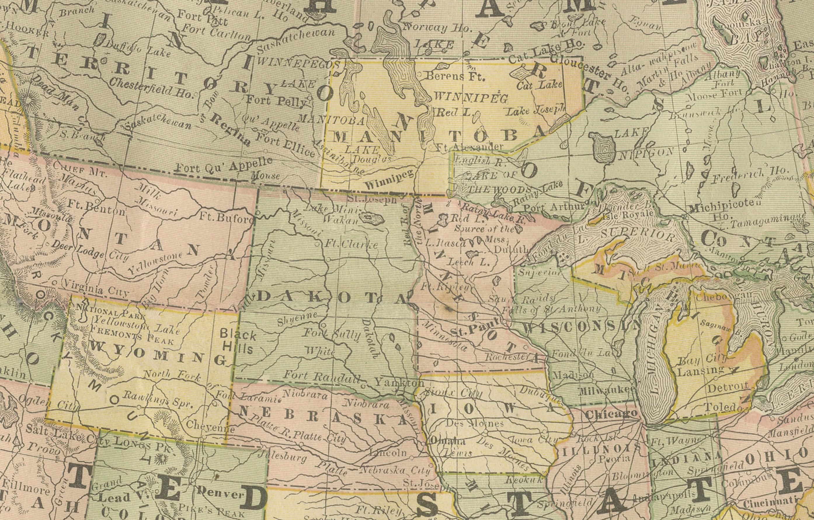
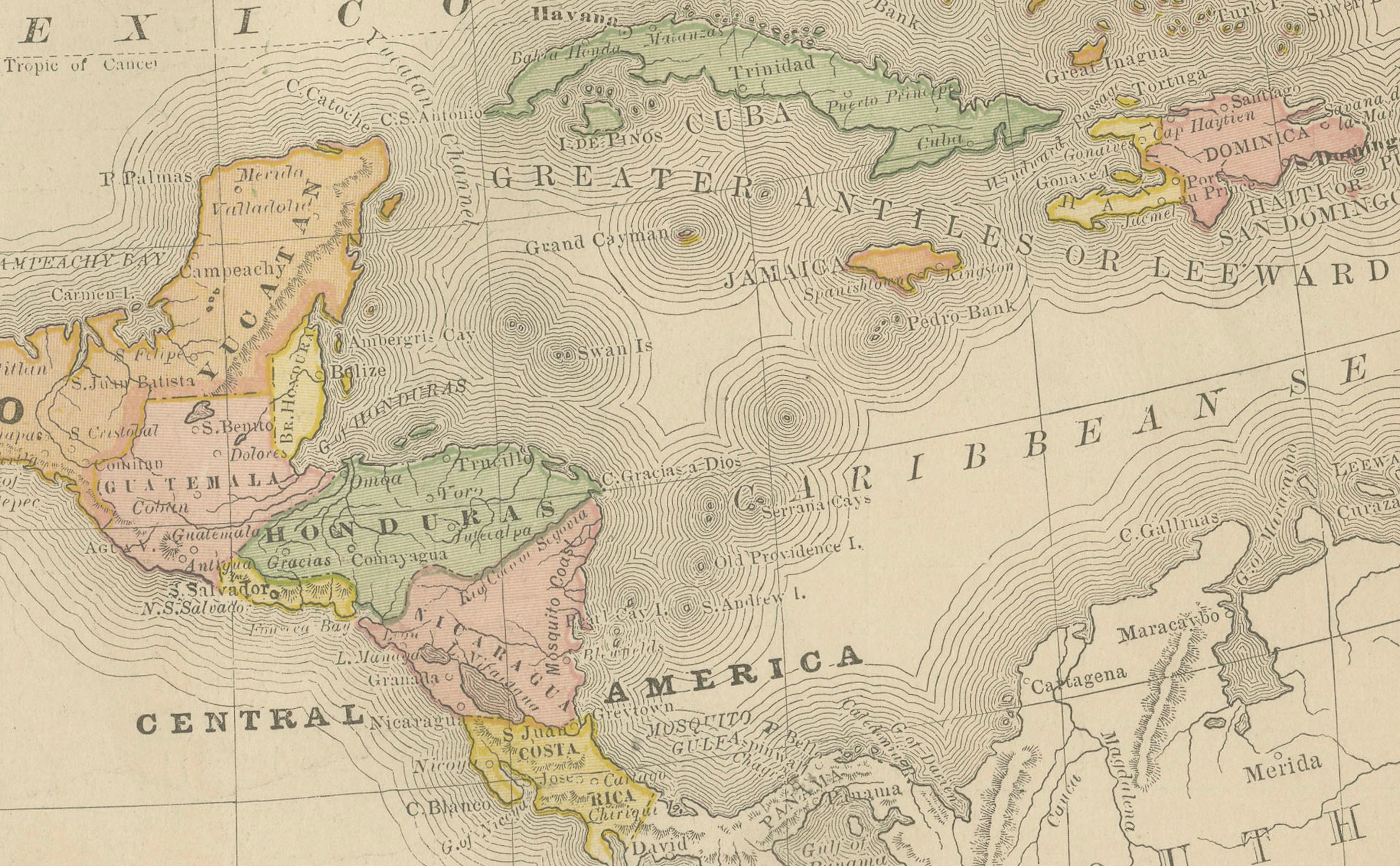
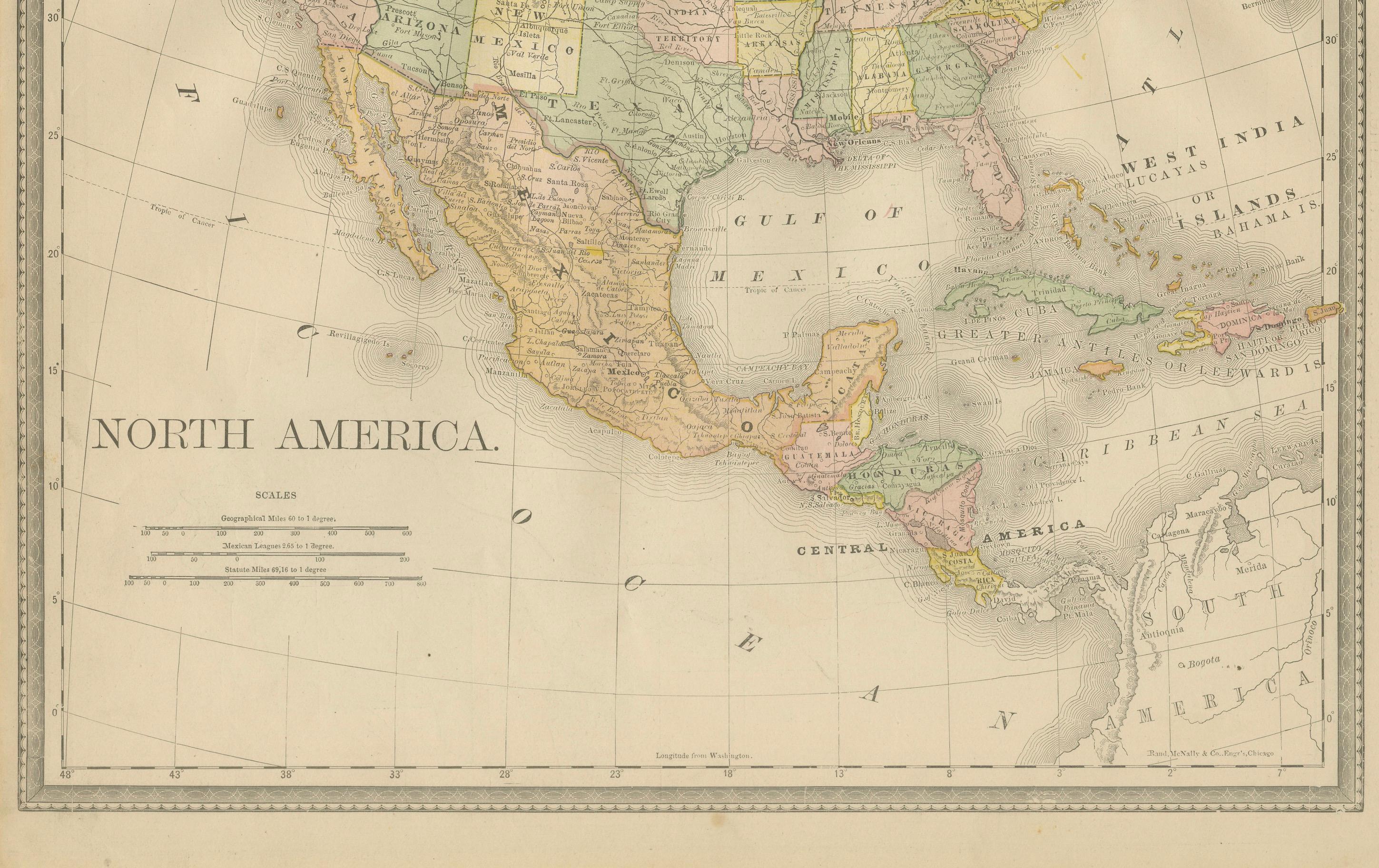
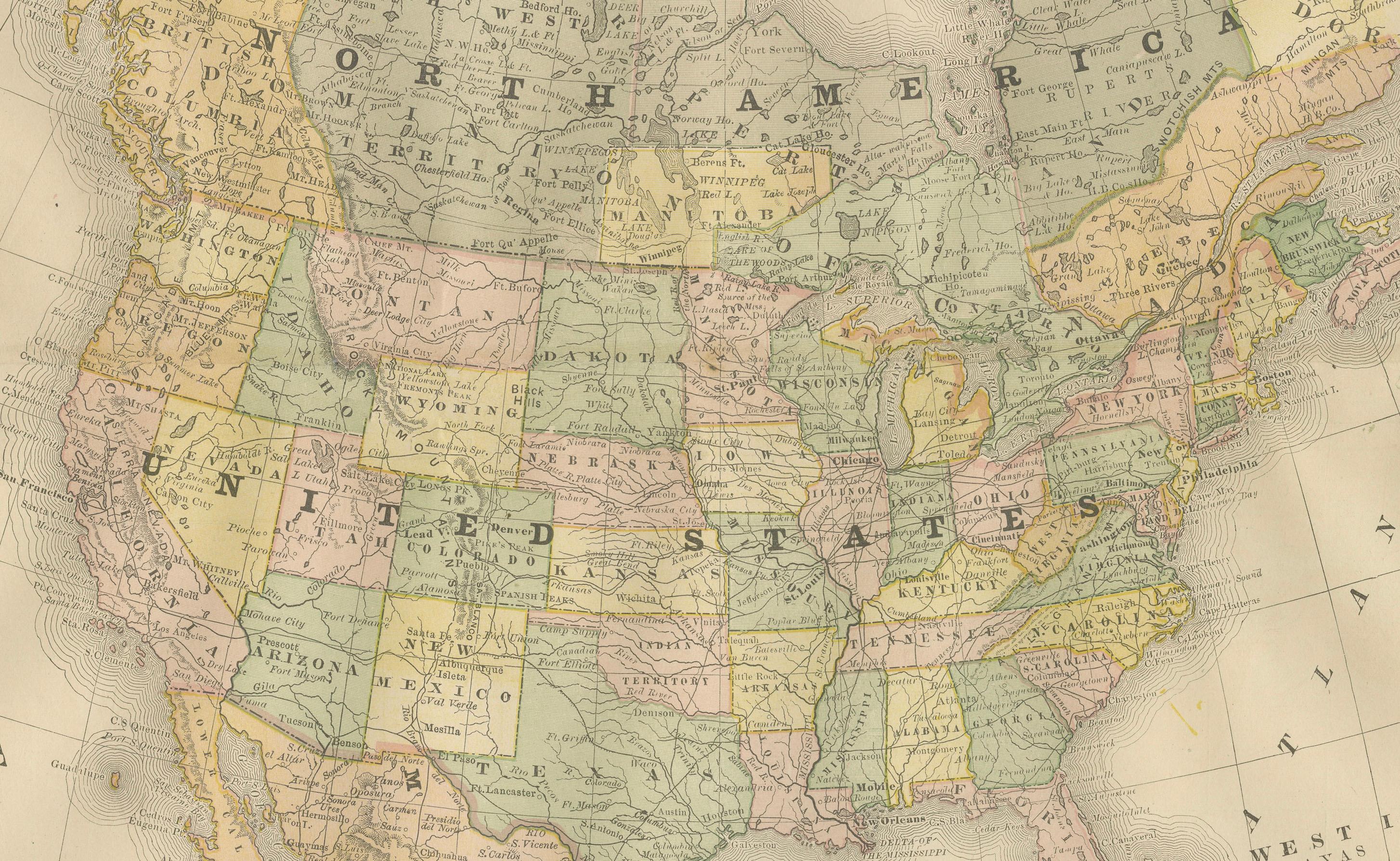
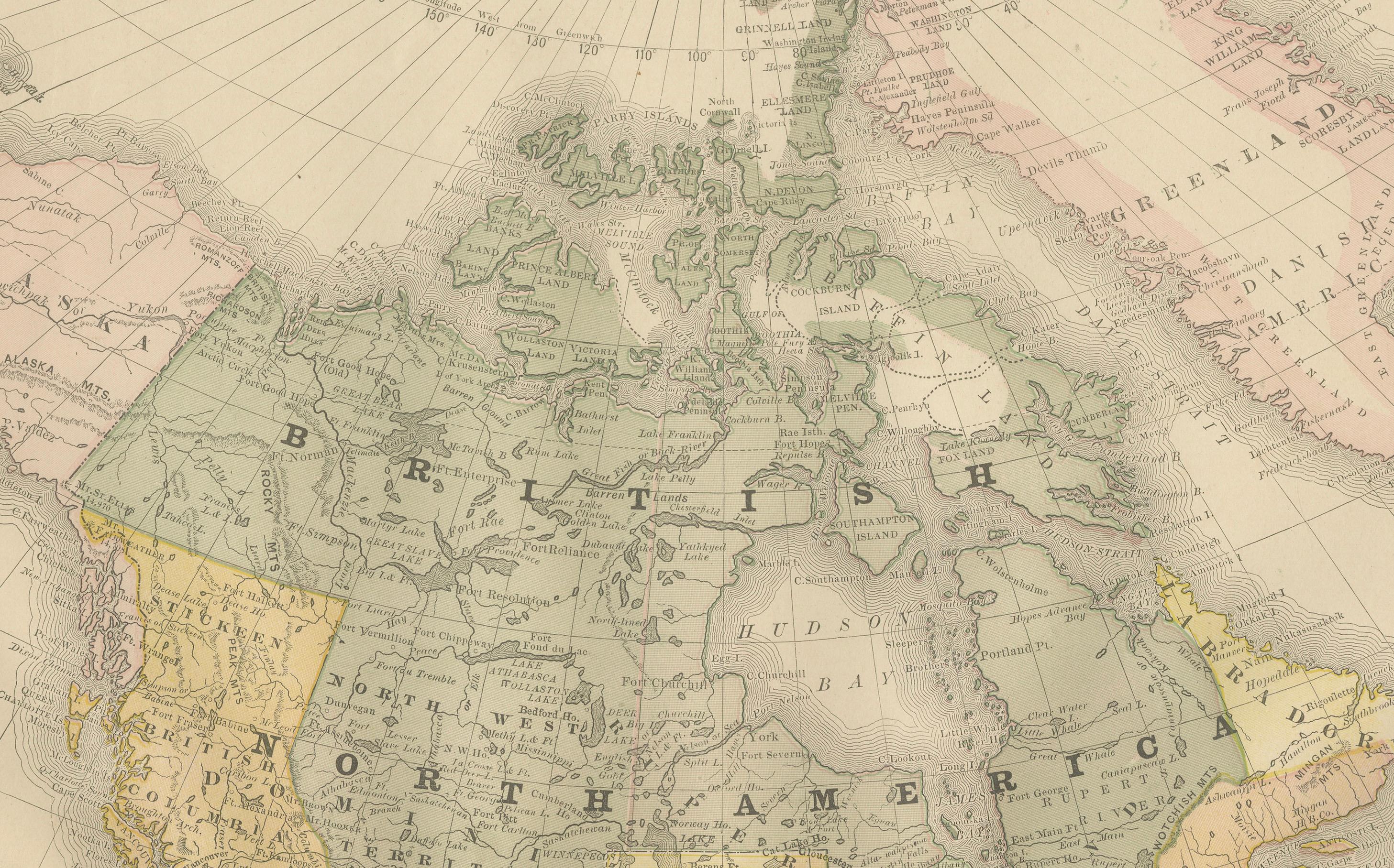
This antique map of North America, published by Rand, McNally & Co. circa 1888, offers a comprehensive view of the continent during a period of rapid political, territorial, and economic change. The map extends from the Arctic regions and Greenland in the north to Central America and the Caribbean in the south, with detailed coverage of the United States, Mexico, and British America (Canada).
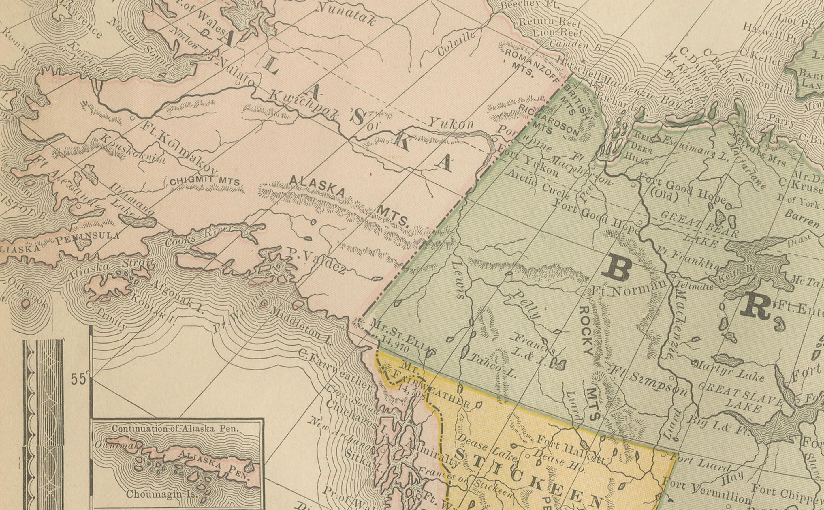
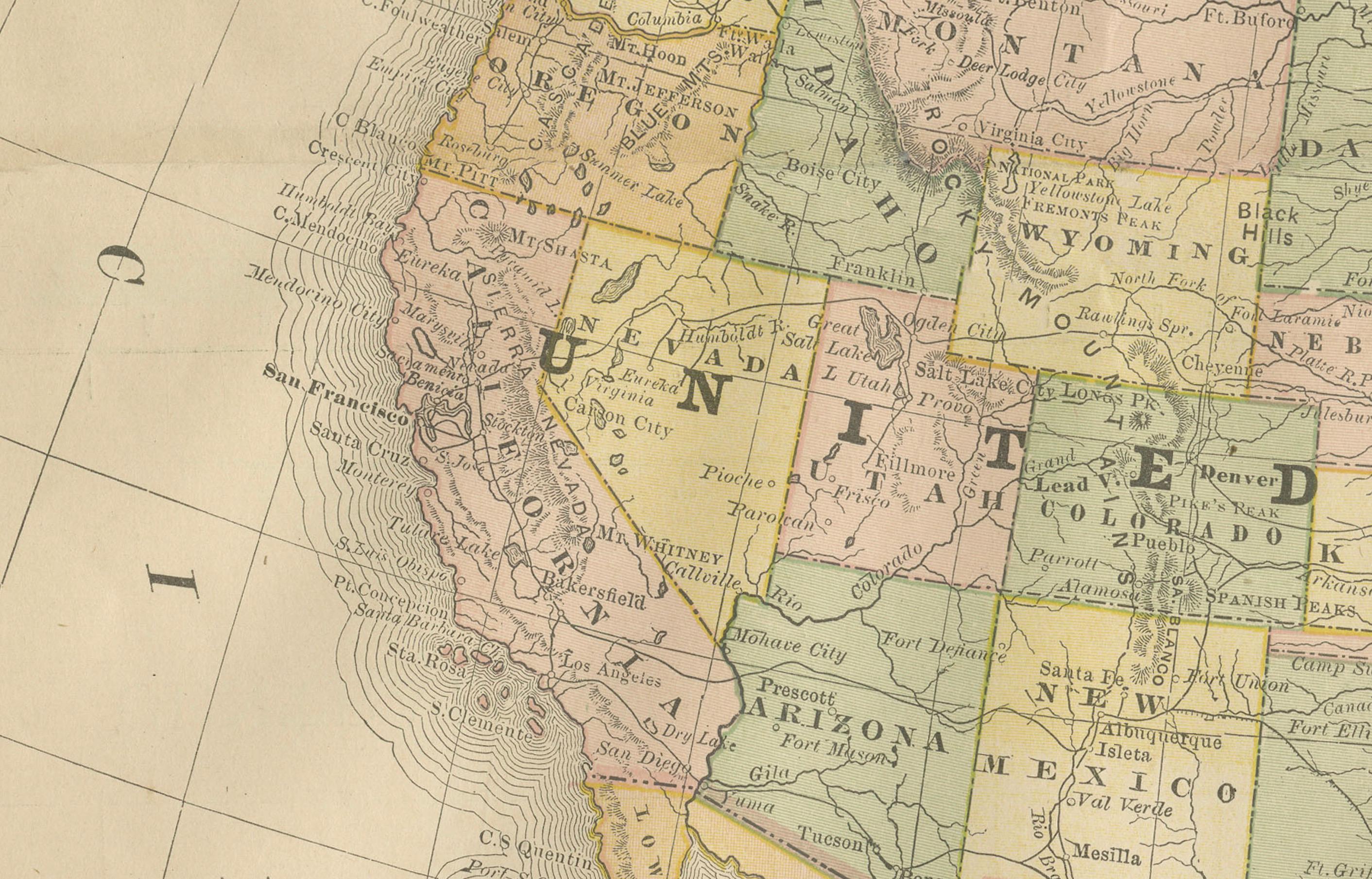
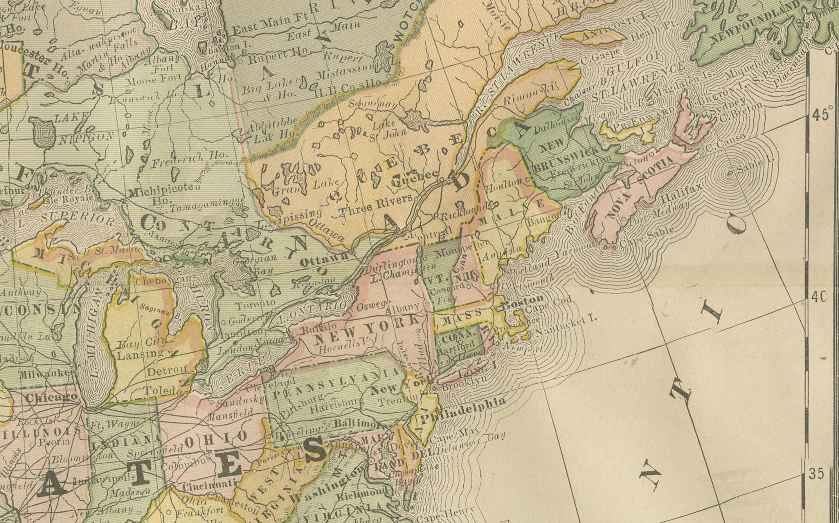
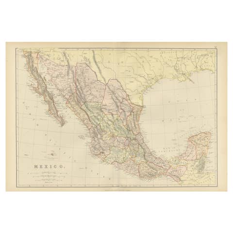
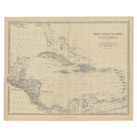
The United States is shown with clear state boundaries, towns, and transport connections, reflecting the country’s expansion westward. Mexico is delineated by states and provinces, while Central America and the Caribbean islands are neatly engraved. Canada, labeled “British America,” covers vast territories with relatively fewer details, emphasizing the great expanse of land that was only sparsely mapped at the time. Greenland is included in the northeast, while the far north is intriguingly labeled “Unknown Region.”
Soft pastel hand-coloring distinguishes political divisions, with yellow, pink, and green shading highlighting individual states and territories. The map also features engraved coastlines, rivers, mountain ranges, and important ports. An inset map of the Aleutian Islands is included at lower left.
This sheet exemplifies Rand McNally’s late 19th-century cartography, combining precision, clarity, and attractive presentation. It reflects both the geopolitical landscape of the period and the publisher’s role in making affordable atlases widely available in America.
Condition report:
Very good condition with even toning and original hand coloring well preserved. Center fold as issued. Minor edge toning and light handling marks in the margins, not affecting the printed area.
Framing tips:
A light cream mat with a thin gilt inner border and a classic black or dark wood frame will highlight the delicate coloring and engraved detail. For a continental statement piece, consider framing alongside the companion maps of the United States, Canada, Mexico, and Cuba.
Technique: Lithograph with original hand coloring
Maker: Rand, McNally & Co., Chicago, circa 1888