About this sheet
Indian Territory Map 1888 – Rand McNally Antique Lithograph
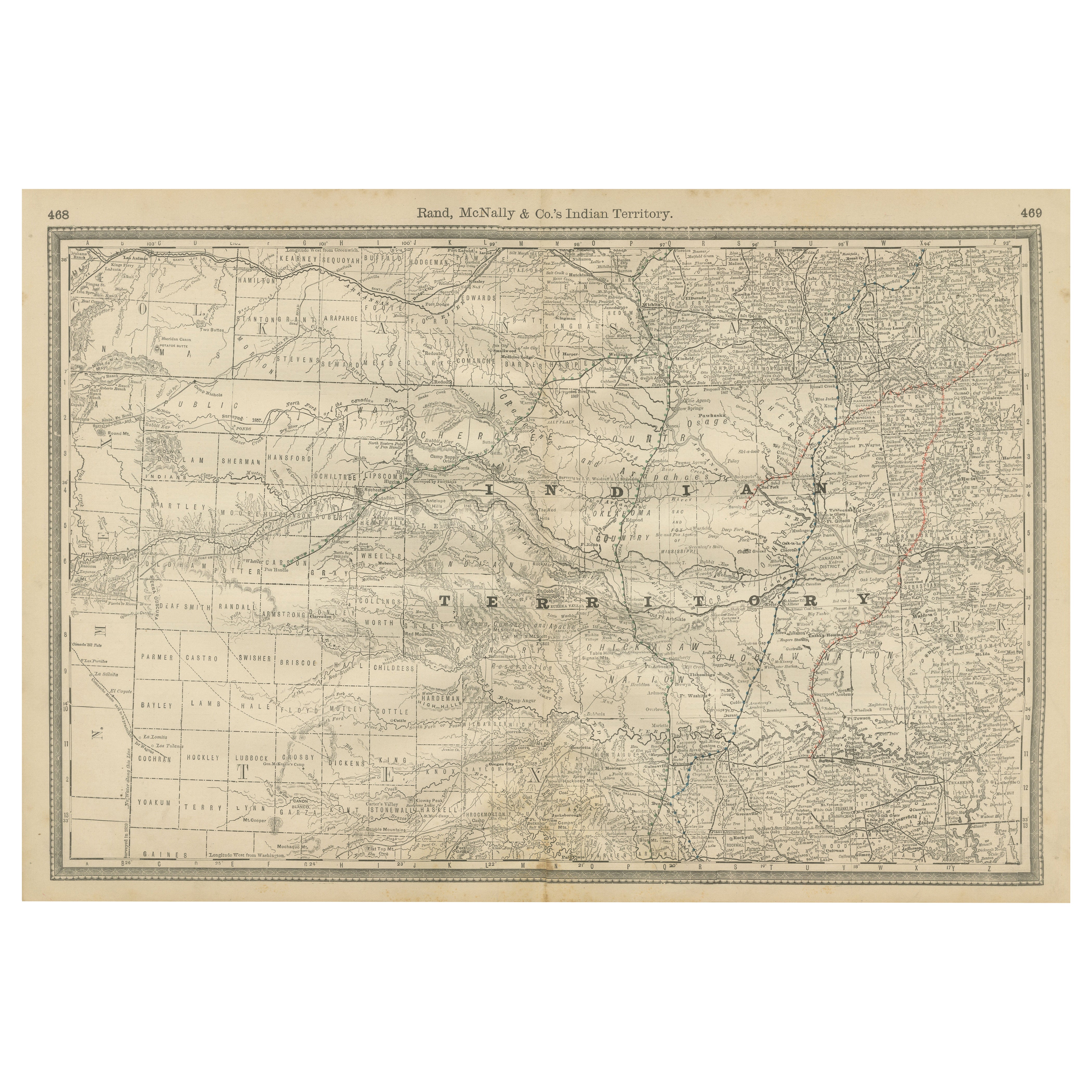
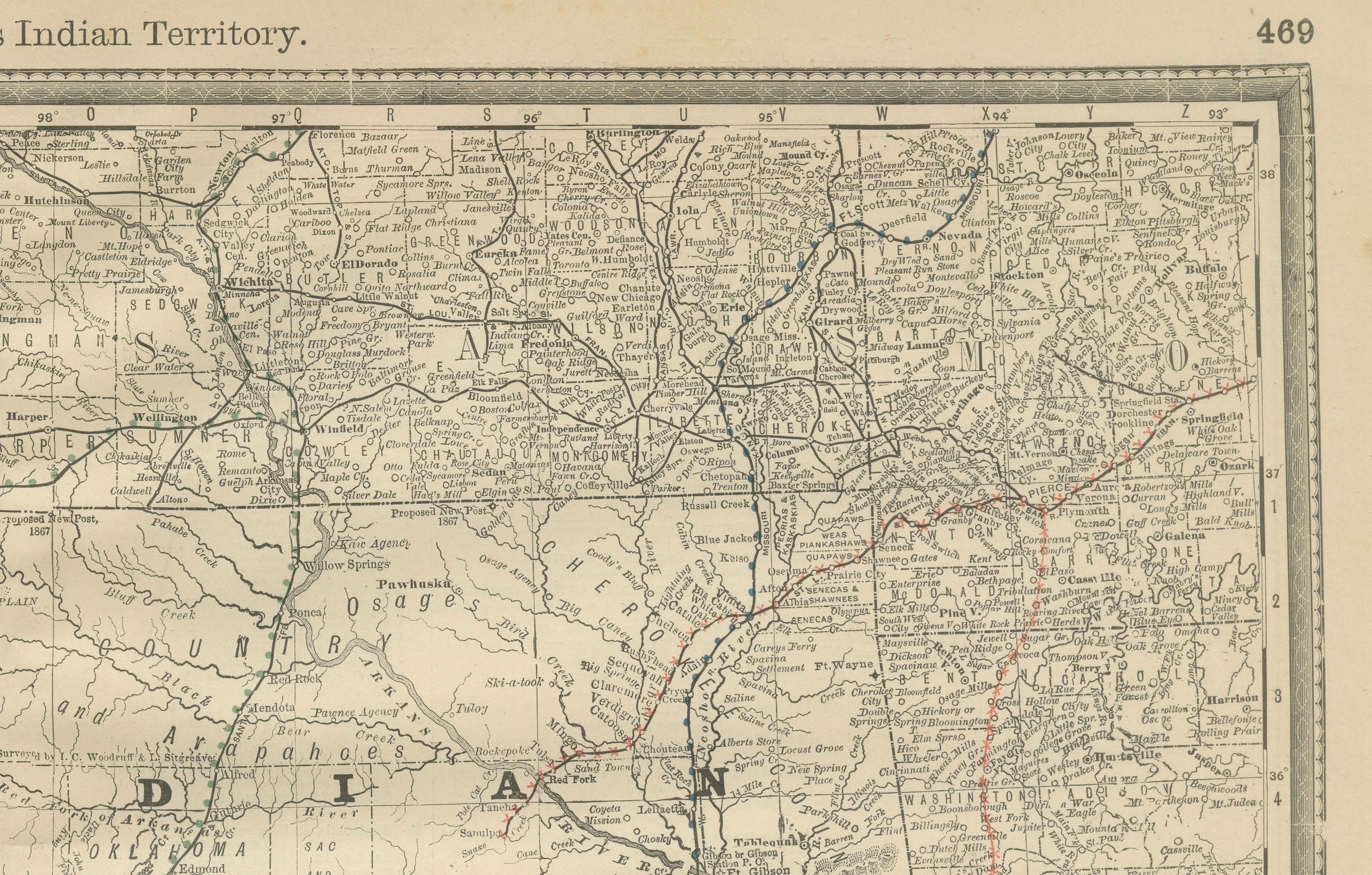
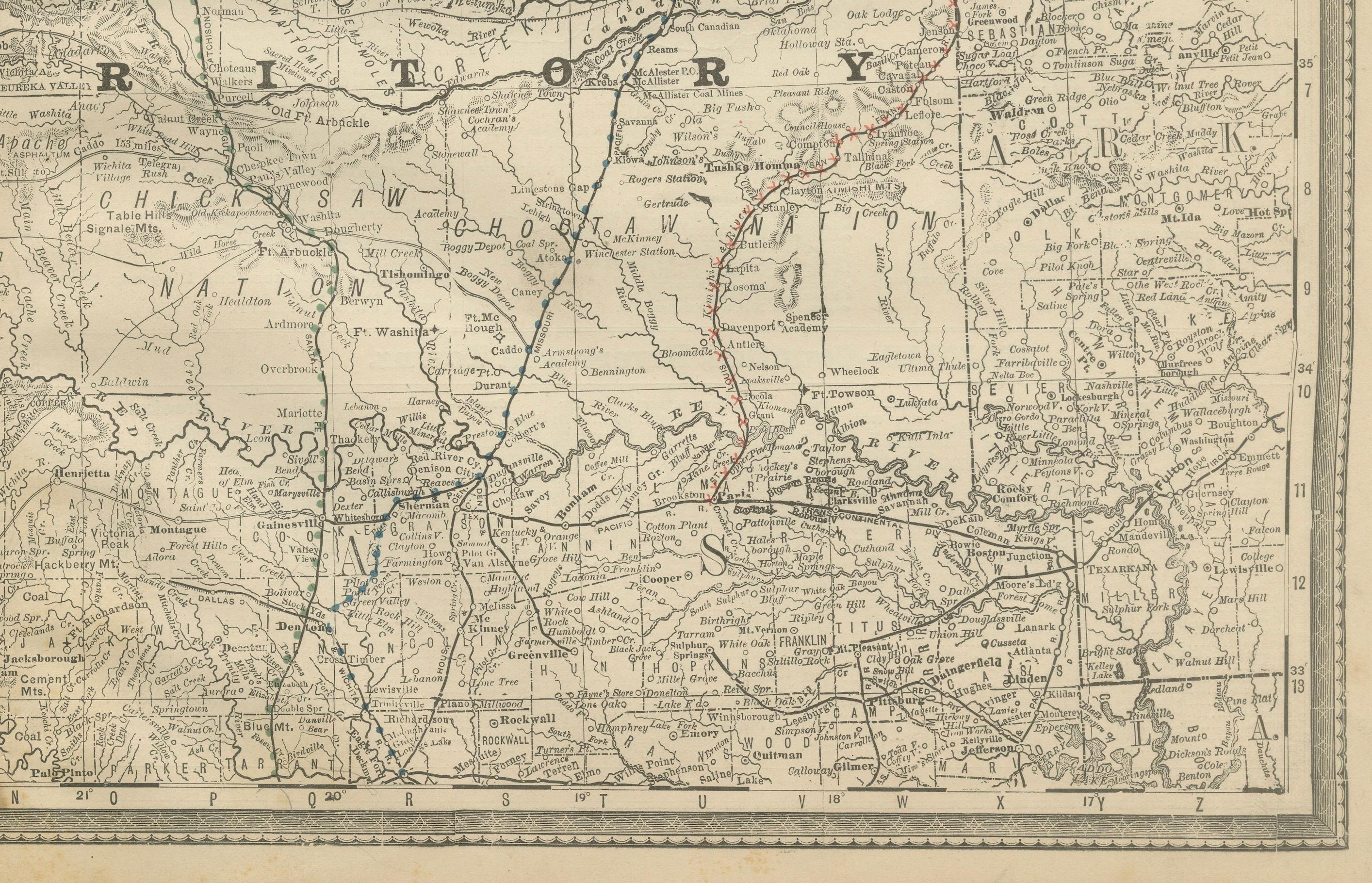
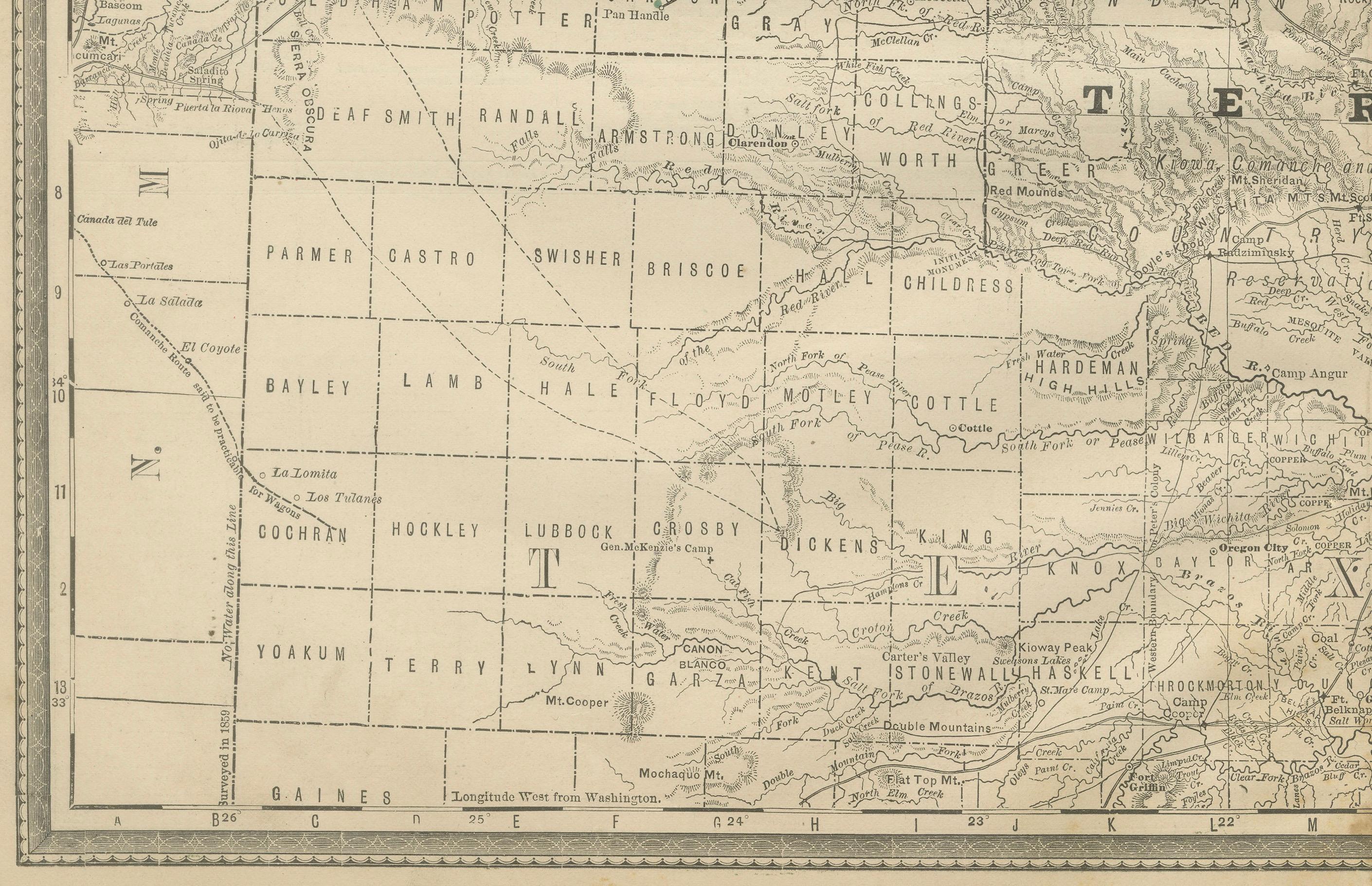
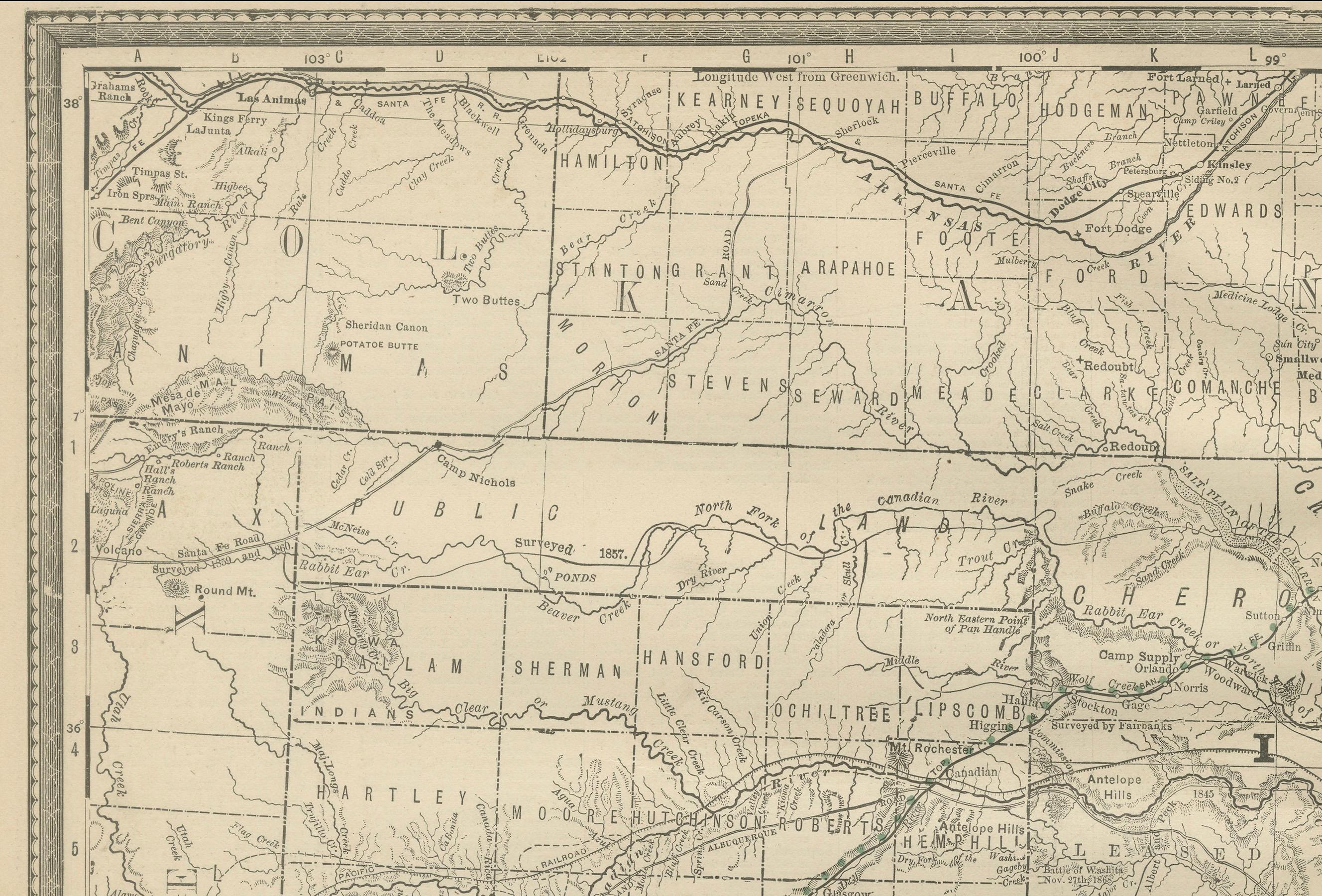
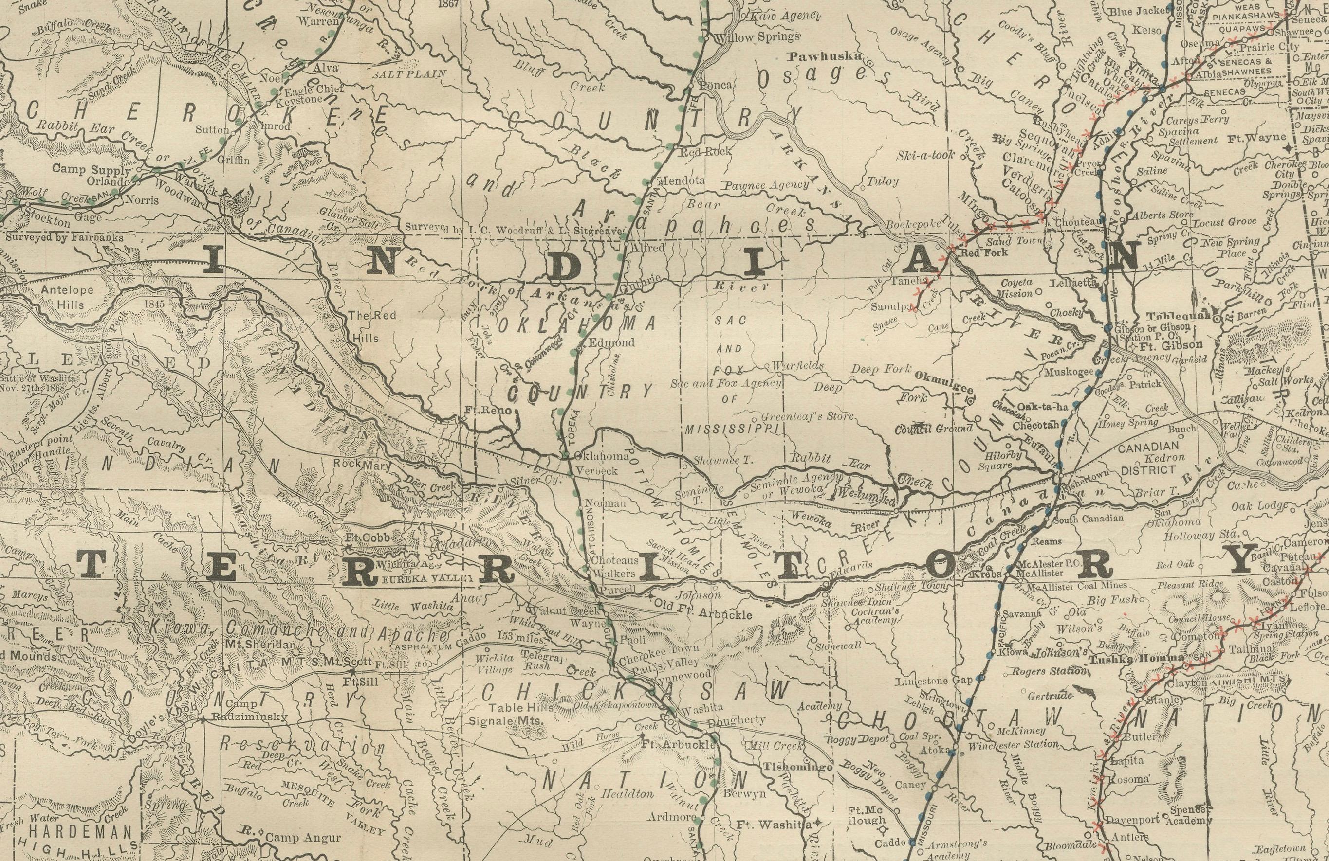
This antique 1888 map of Indian Territory, published by Rand, McNally & Co., is a remarkable record of the region that would later become the state of Oklahoma in 1907. The map documents the territory at a moment when it was still primarily governed by and reserved for Native American nations, prior to the sweeping changes brought by the Dawes Act and the Land Runs of the 1890s.
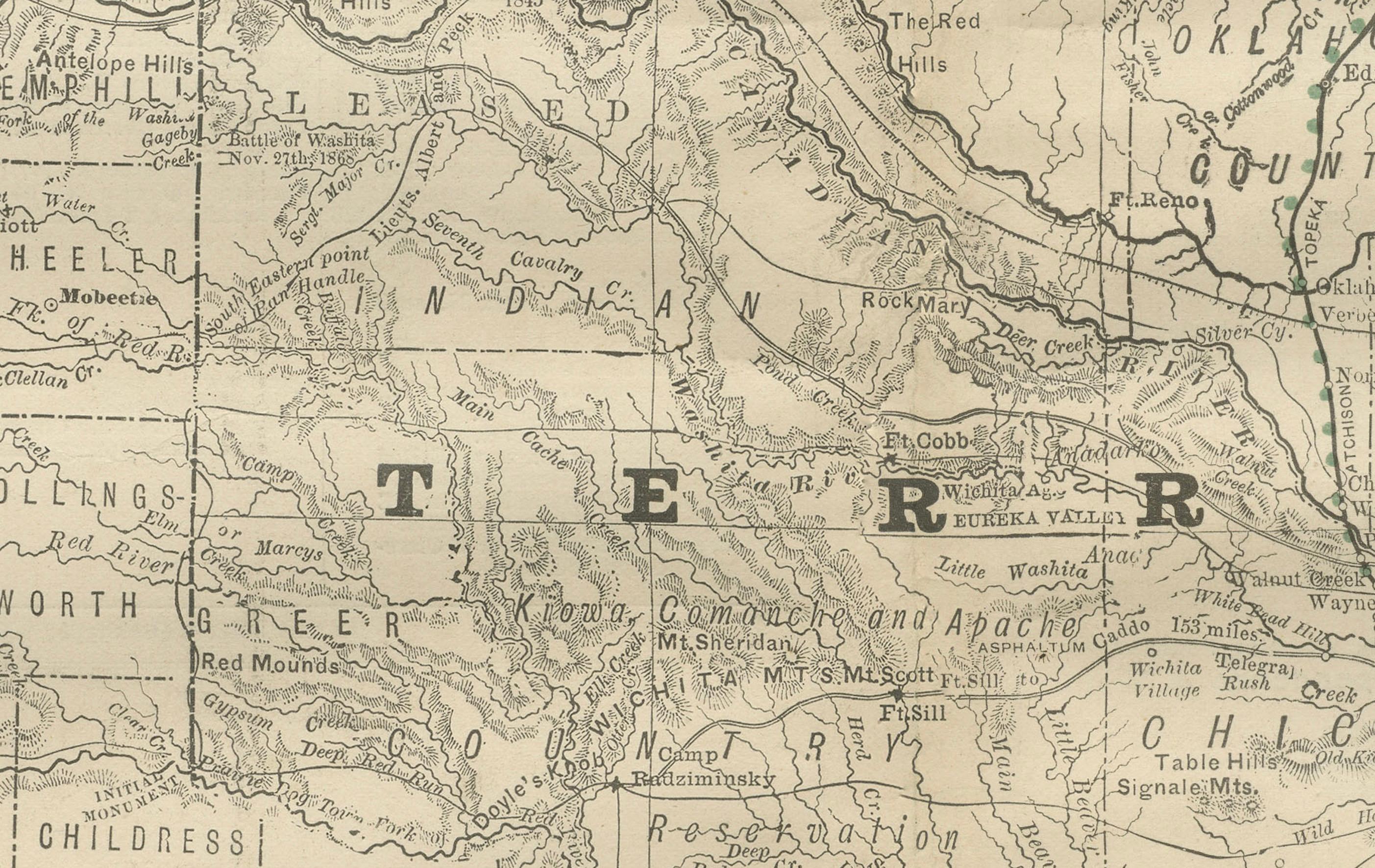
The map prominently labels Indian Territory across its center, with clear demarcations of tribal lands belonging to the Cherokee, Choctaw, Chickasaw, Creek (Muskogee), and Seminole Nations, collectively known as the Five Civilized Tribes. It also marks the territories of smaller groups and resettled tribes, such as the Osage, Cheyenne, and Arapaho. Each of these divisions reflects the federal government’s relocation policies of the 19th century, which forced tribes from ancestral homelands to this designated territory.
Railroads, drawn in red and blue lines, cut across the map and signal the coming transformation of the territory. The Missouri, Kansas & Texas Railway (the “Katy”), the Atchison, Topeka & Santa Fe, and other lines are shown forging paths through the land, laying the groundwork for non-Native settlement and eventual statehood. The map also includes military forts such as Fort Gibson and Fort Sill, which underscored the U.S. Army’s role in enforcing treaties and protecting settlers.
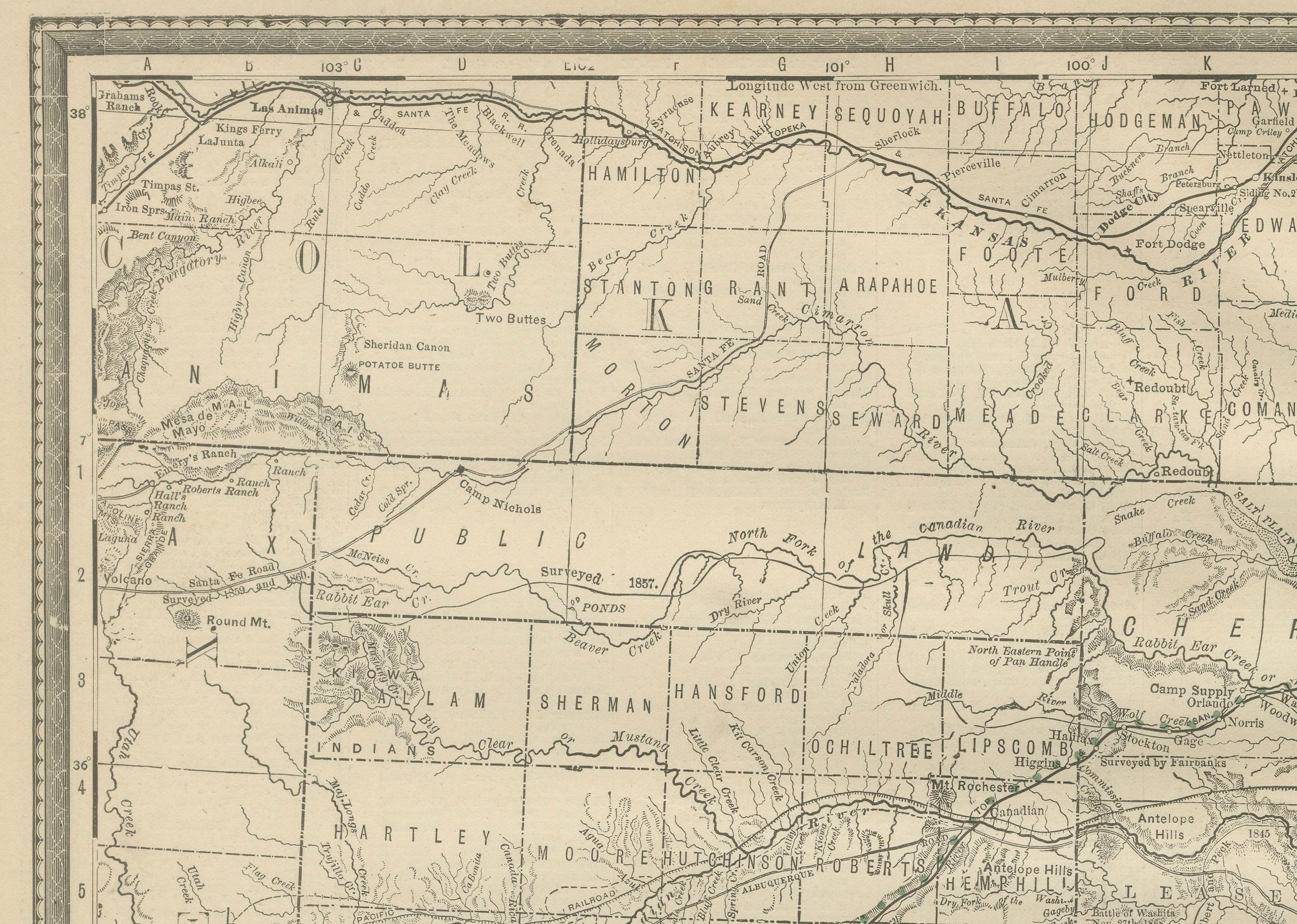
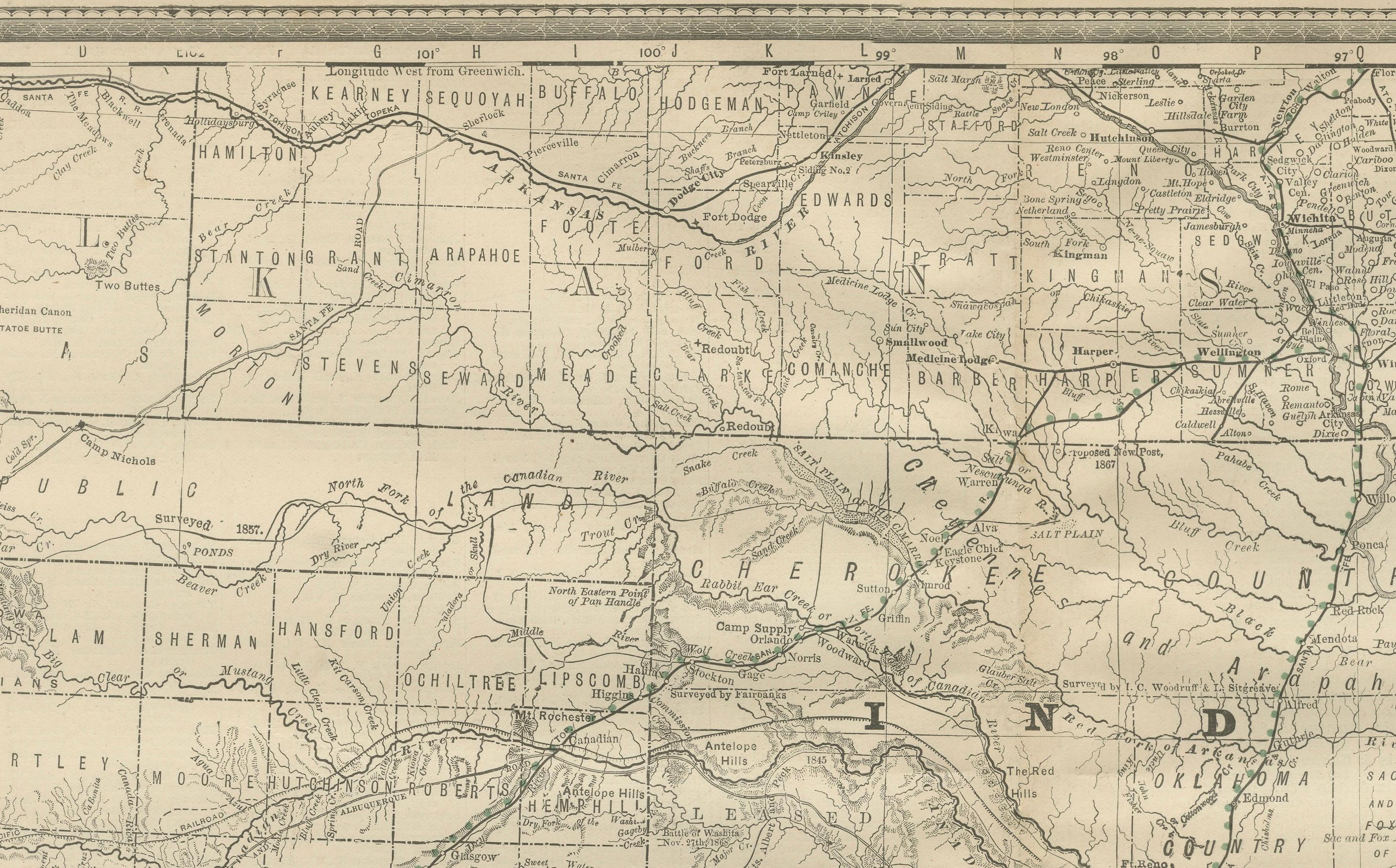
Surrounding states and territories, including Kansas to the north, Texas to the south, and Arkansas to the east, provide geographic context. The map situates Indian Territory as a borderland—culturally, politically, and economically—between the established states of the Mississippi Valley and the frontier lands of the American West.
As with other Rand, McNally maps of the era, this piece is noted for its clarity and detail, capturing not only towns and settlements but also rivers, trails, and geographic features. For collectors, it is a highly desirable historical artifact, reflecting the unique legal and political status of Indian Territory just two decades before Oklahoma entered the Union.
Condition: Good, with even toning and light foxing, especially in the upper and lower margins. Slight age-related edge wear. Paper remains stable with a visible plate mark.
Framing tips: A black or deep walnut frame with a cream or parchment-colored mat will enhance the antique character of this map. A subtle secondary mat in red or blue can highlight the railroad routes.
Technique: Lithograph with printed color
Maker: Rand, McNally & Co., Chicago, 1888