Original antique · The actual sheet photographed · Certificate of authenticity on request · Sold unframed · Worldwide shipping from € 15 (rates)
Date
1888
Sheet size
52.5 × 36 cm (20.7 × 14.2 in)
Condition
Good
Reference
BG-12794-48
What the condition grades mean
Excellent
Bright and clean, with no faults worth mentioning.
Very good
Only light signs of age, such as faint toning.
Good
Normal signs of age for a sheet of this period: toning, some foxing, small marks or neat old repairs.
Fair
Clear faults such as staining, tears or repairs, priced to match.
Every fault we see is written in the condition note, and the whole sheet is shown uncropped in the photos.
Condition
With light toning and foxing in the margins and folding line. Plate mark visible. Minor age-related edge wear, but paper remains strong and clean with no tears.
About this sheet
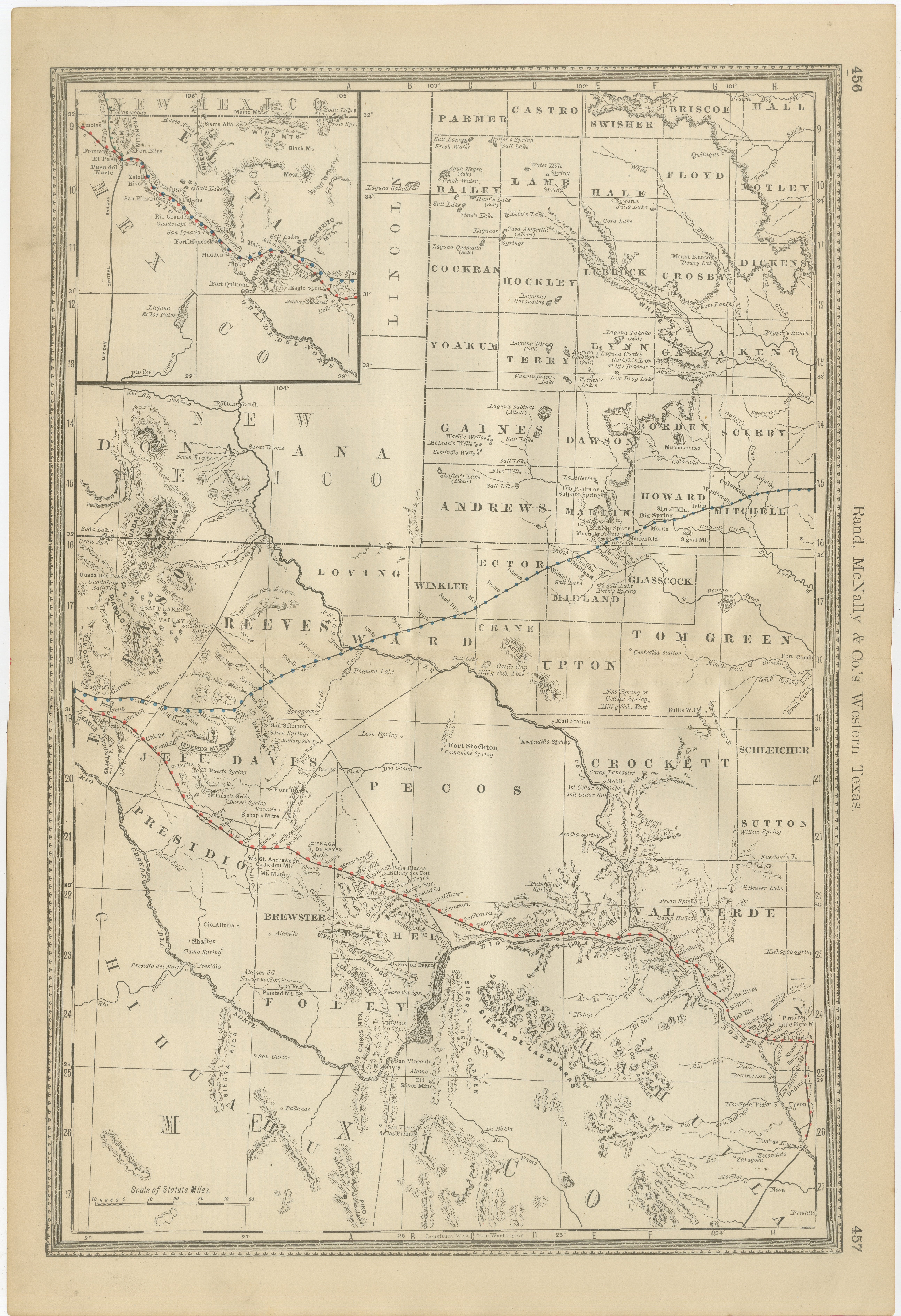
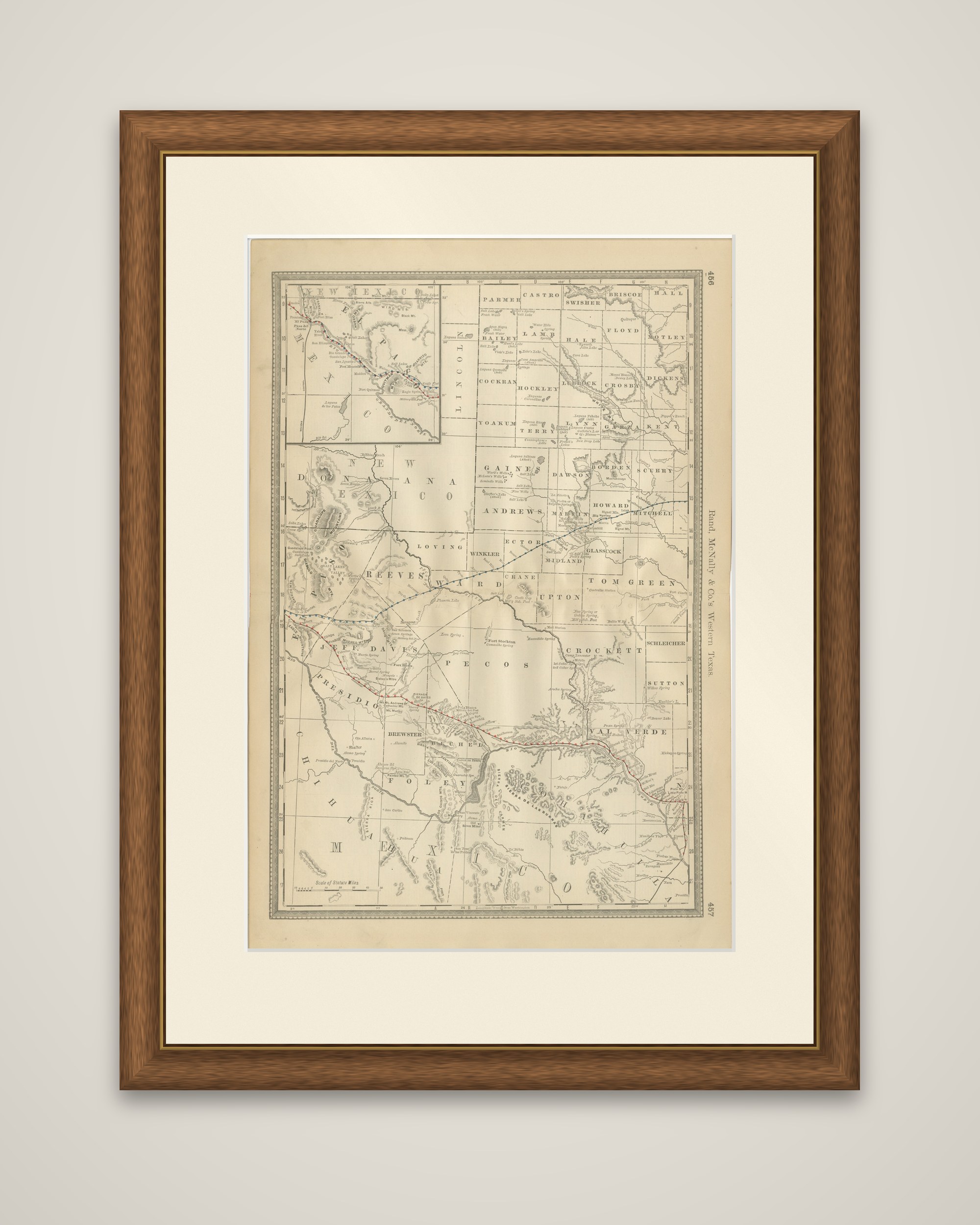
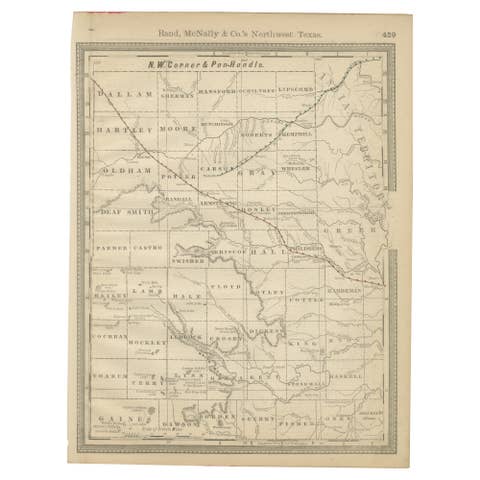
Western Texas in 1888, an original map by Rand, McNally & Co. printed in black on toned paper with railroad lines overprinted in red and blue. The running head "Rand, McNally & Co.'s Western Texas" appears in the right margin, with atlas page numbers 466 and 467, and the sheet is printed in upright format with a scale of statute miles at the lower left.
The map covers the vast frontier counties of the state's western half, from the northern counties of Parmer, Castro, Swisher and Briscoe down through Gaines, Andrews, Pecos, Reeves, Presidio and Brewster to the Rio Grande, with Chihuahua lettered along the western edge. Fort Stockton is marked in the center of the sheet, and the Davis and Guadalupe ranges and the Pecos River are drawn across the arid country. A railroad line crosses the sheet from the Rio Grande near El Paso eastward toward the Pecos and beyond, passing through very large, thinly settled counties.
An inset at the upper left shows part of New Mexico and the area around El Paso at a larger scale. The sheet records this country at the point when the railroad first crossed it, before ranching and later oil development changed the region.