About this sheet
Texas Railroad Map 1888 – Rand McNally Antique Lithograph
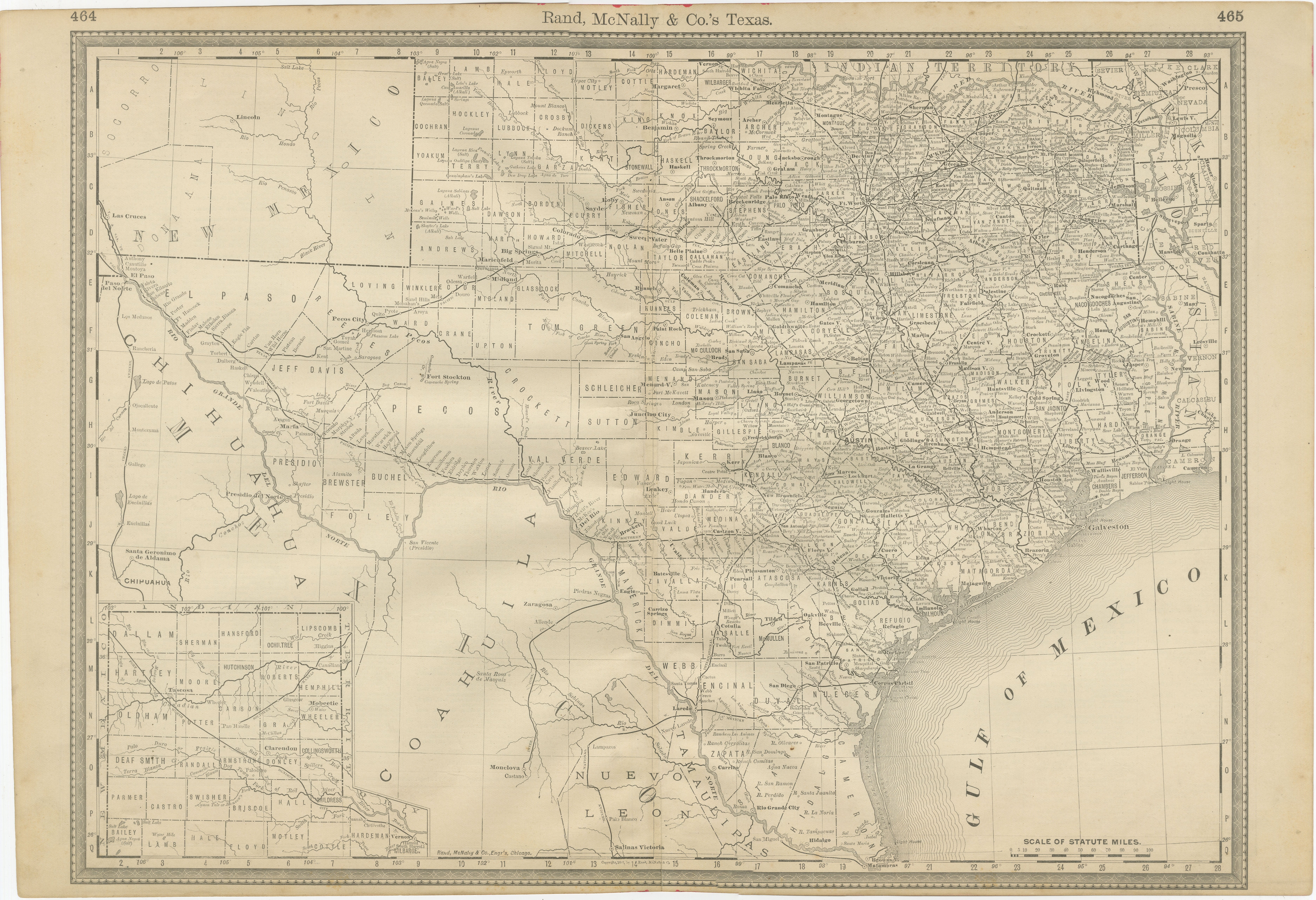
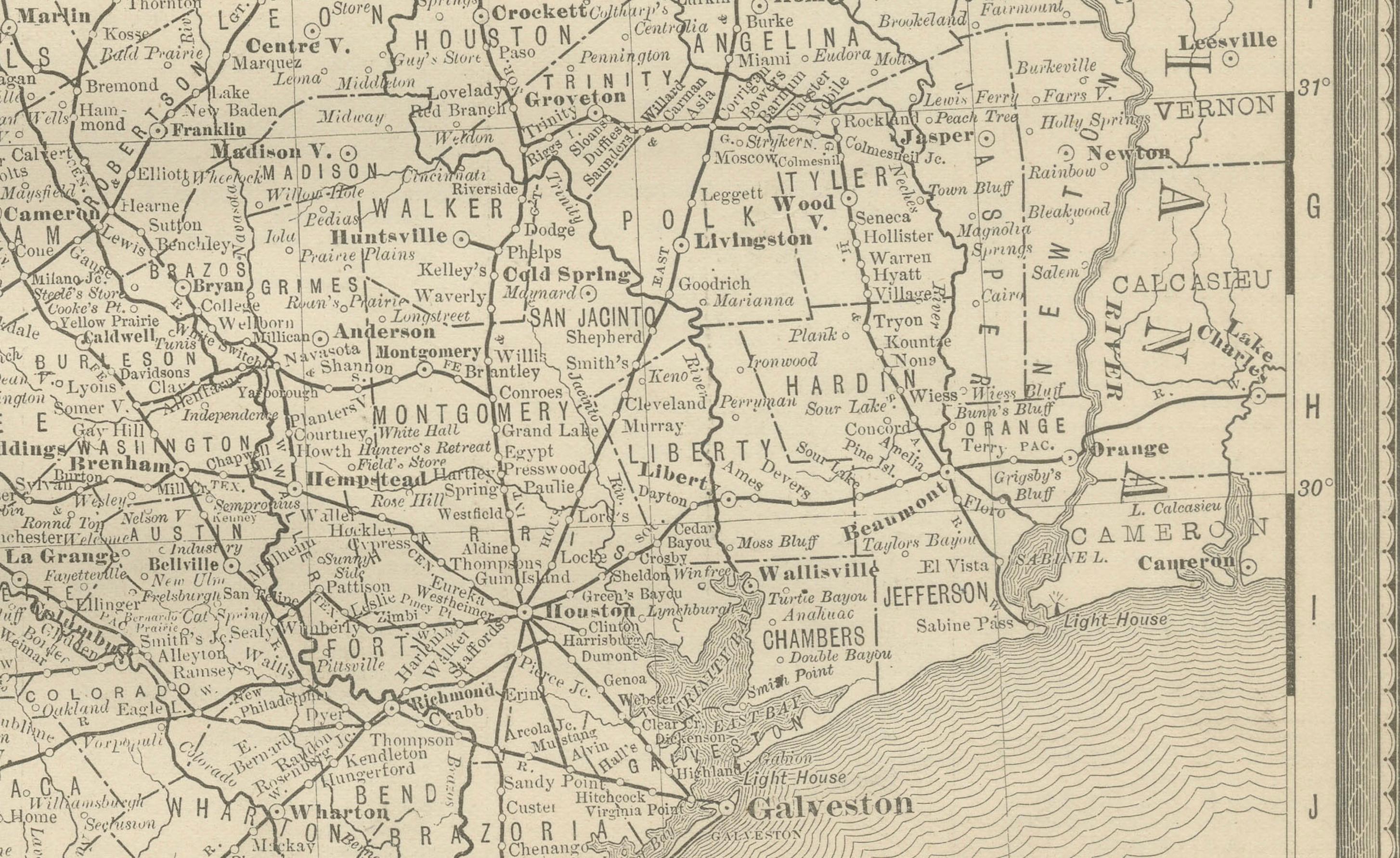
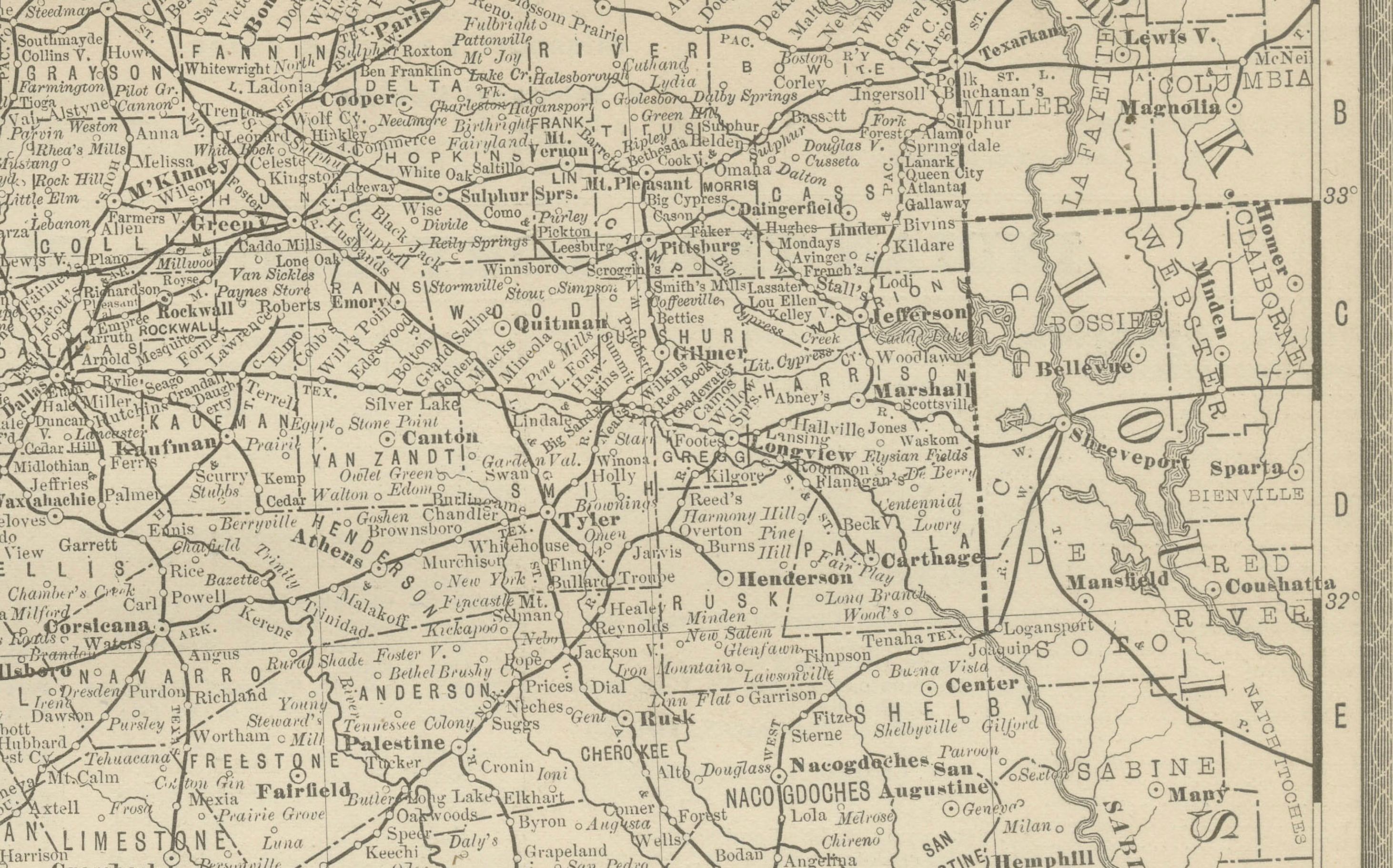
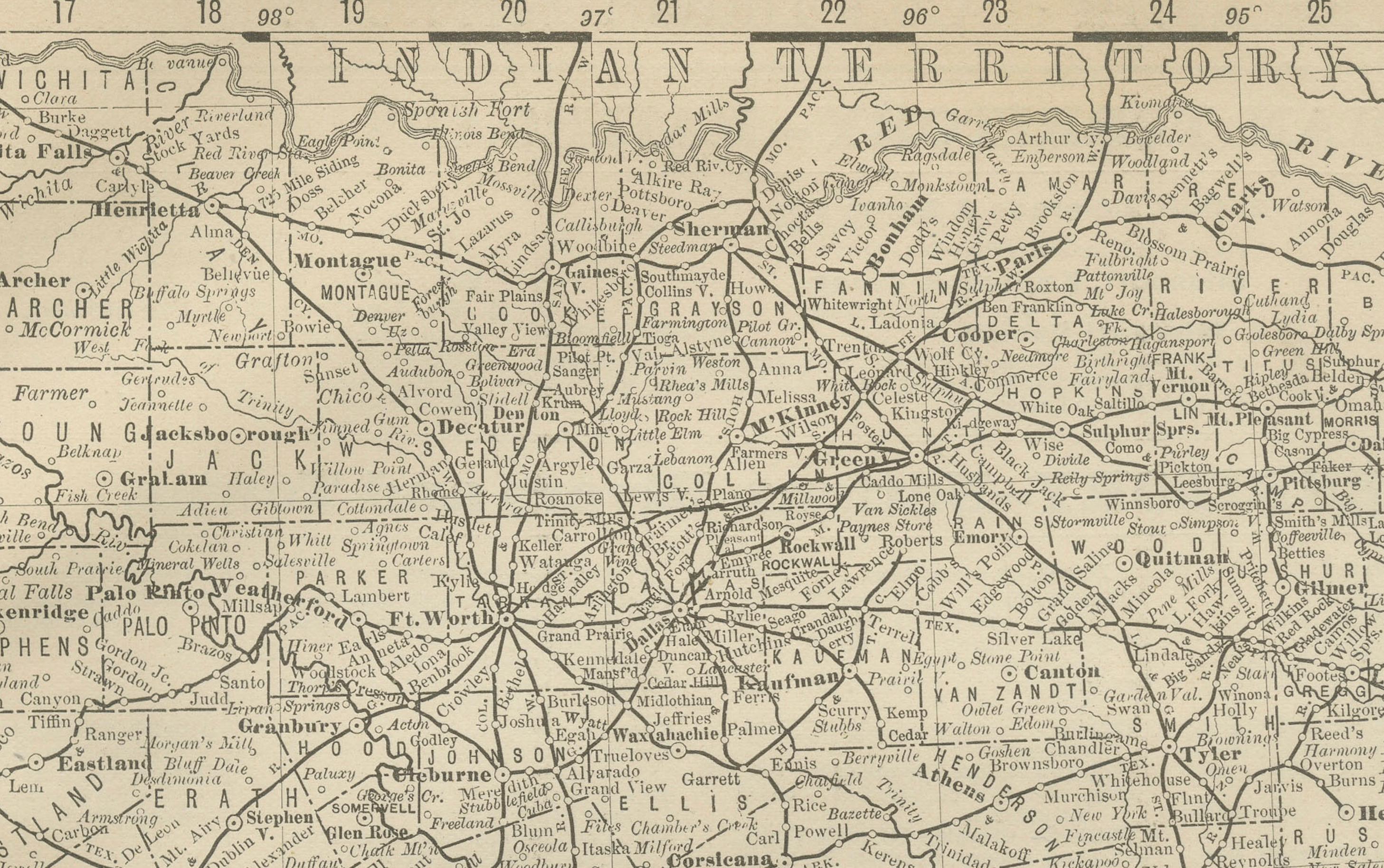
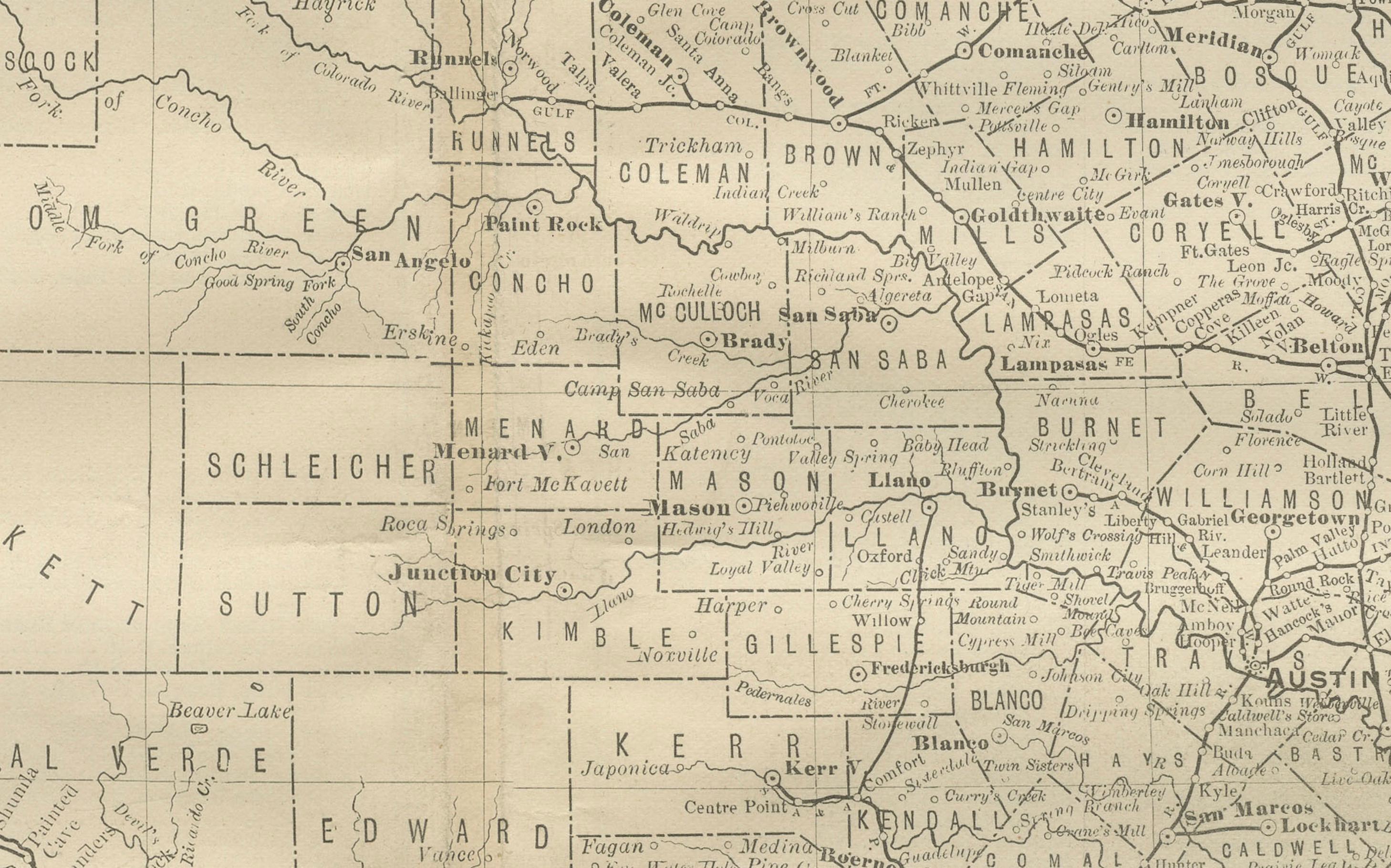
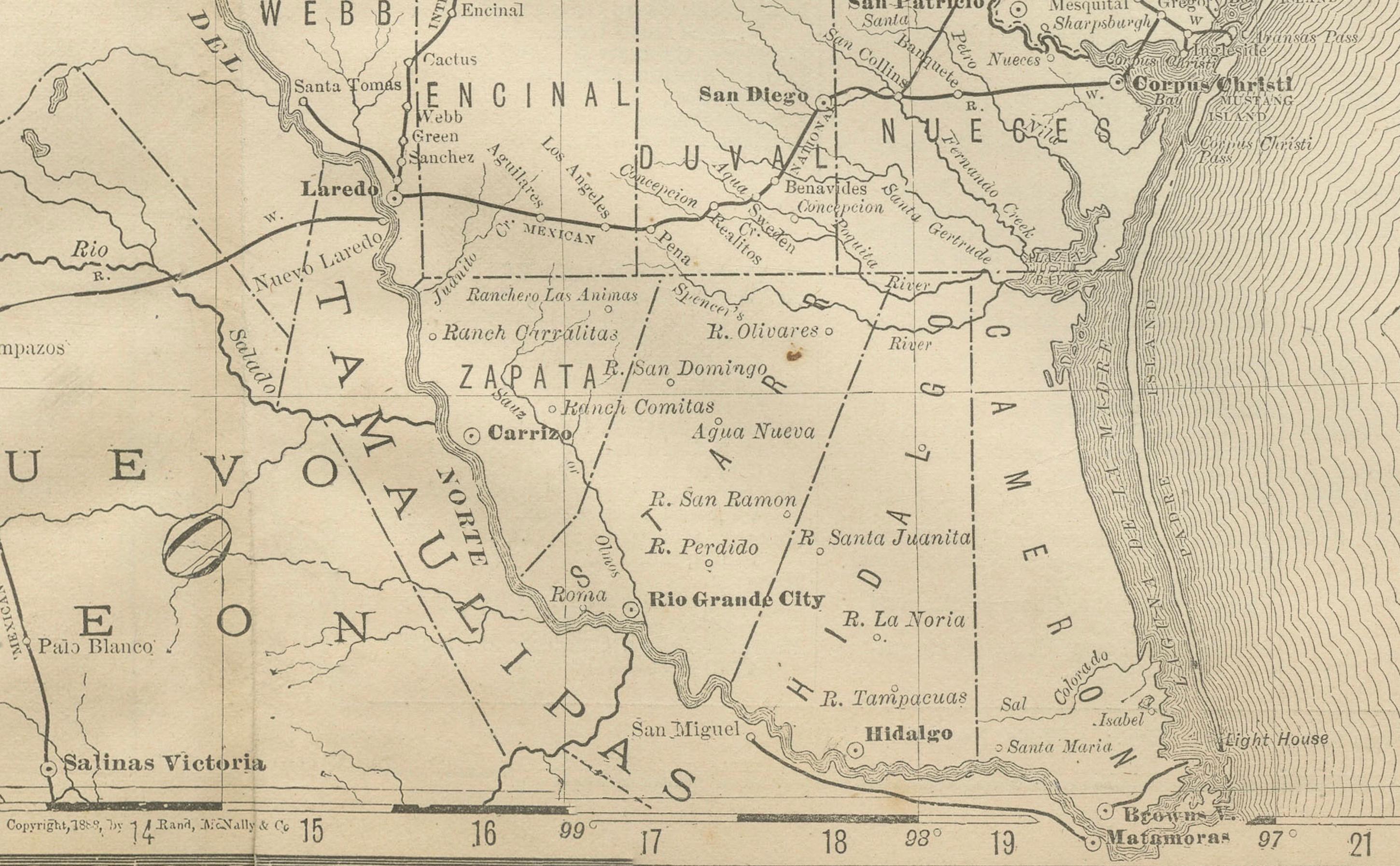
This antique 1888 map of Texas, published by Rand, McNally & Co., provides a detailed overview of the state during a critical era of expansion and modernization. By the late 19th century, Texas was undergoing rapid growth, with railroads reshaping its economy and settlement patterns while connecting its vast interior to national and international markets.
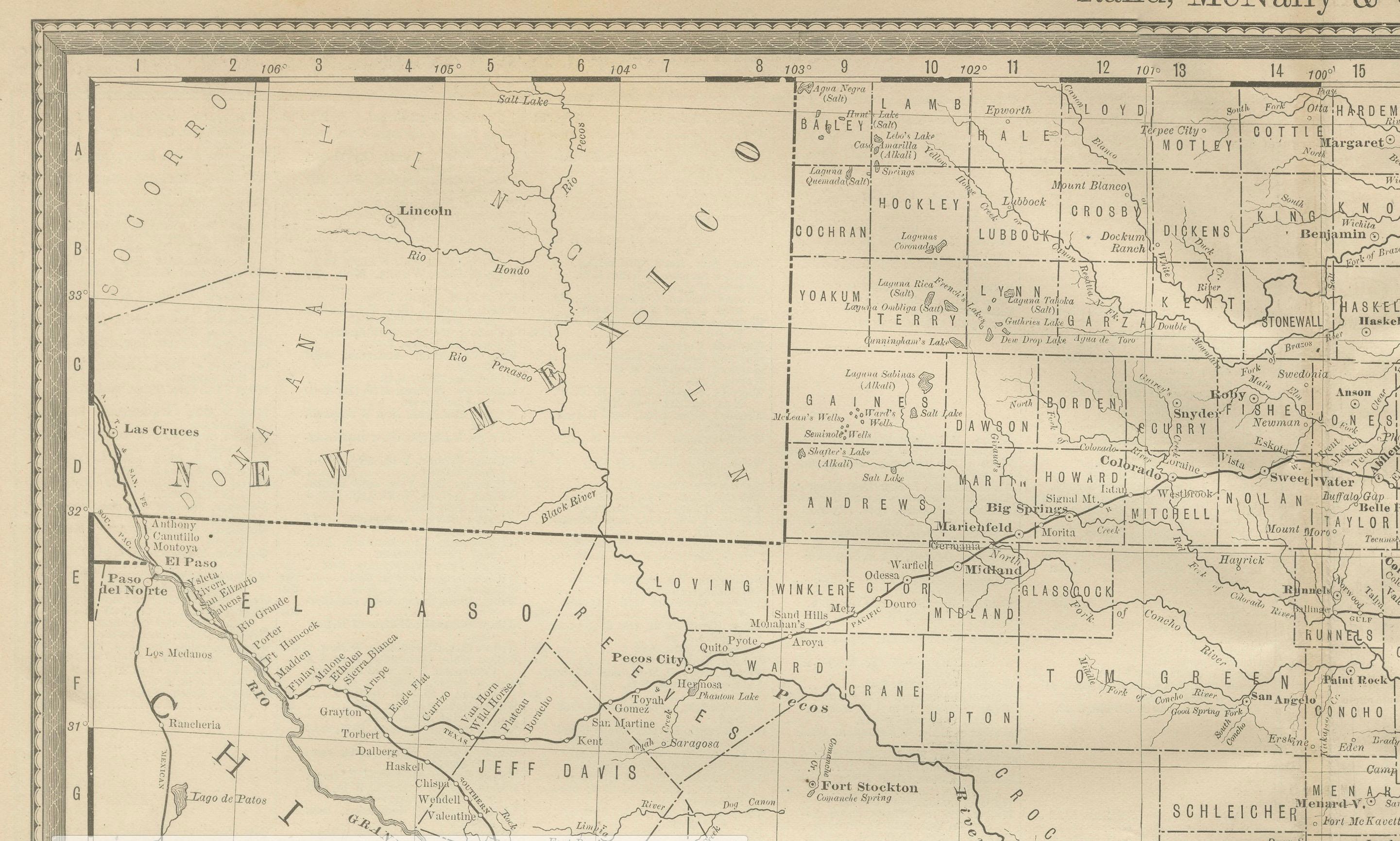
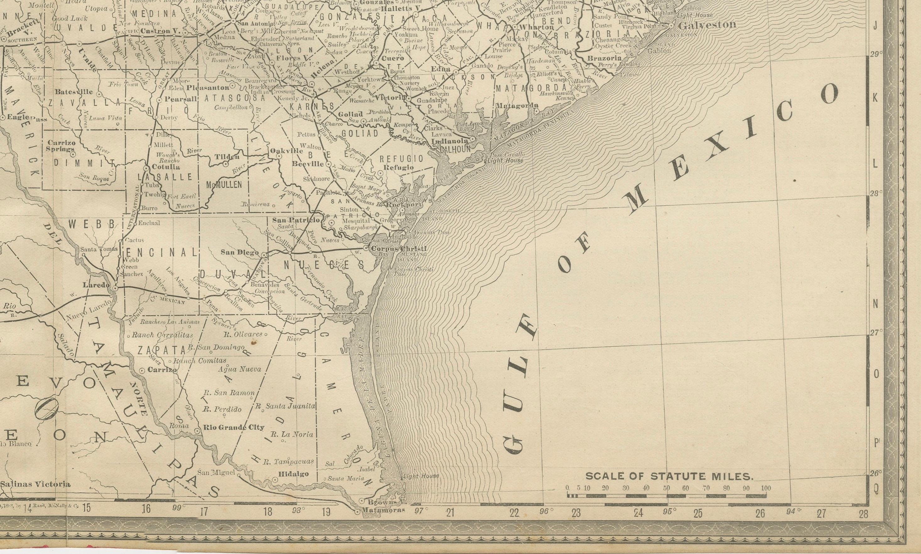
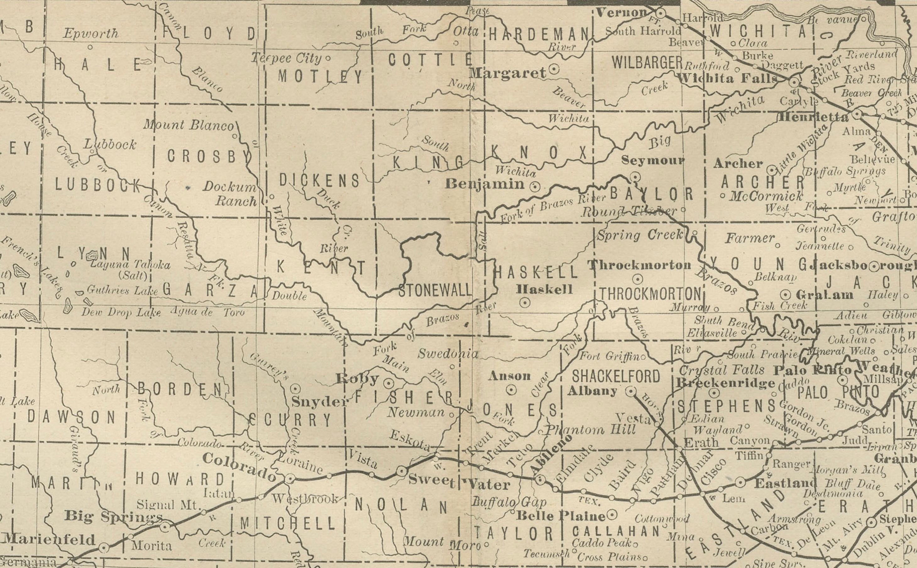
The map covers all of Texas in fine detail, from the developed eastern counties to the sparsely settled western frontier. Counties are clearly delineated, and the map identifies towns, rivers, and transportation routes across the state. Major urban centers such as Houston, Galveston, Dallas, San Antonio, and Austin are marked, while smaller towns and depots trace the spread of population across the prairies and plains.
Railroads dominate the map, drawn in black with dense networks covering eastern Texas and extending westward into frontier regions. The Missouri, Kansas & Texas Railway, the Southern Pacific, the International & Great Northern, and numerous other lines are all shown, reflecting the state’s rapid integration into national rail systems. These routes highlight Texas’s transformation into a commercial powerhouse, exporting cotton, cattle, and other goods to the Gulf of Mexico and beyond.
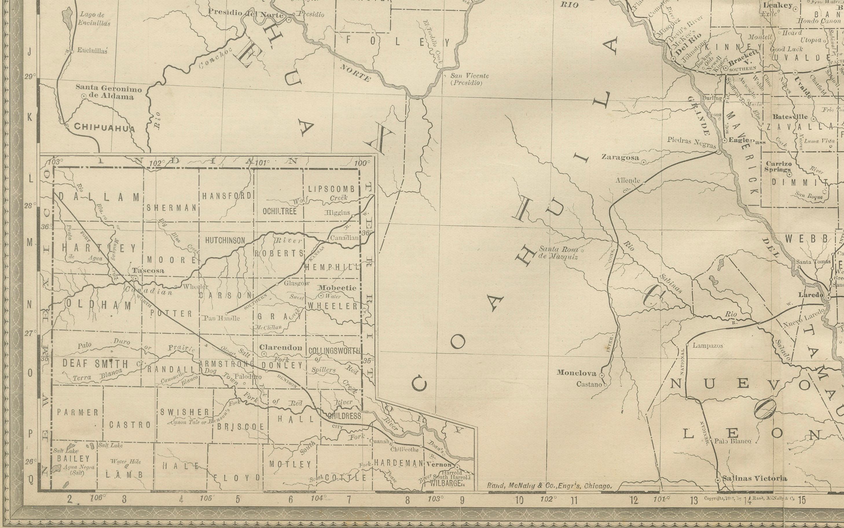
Of particular note is the western portion of the state, where vast counties such as El Paso, Pecos, and Jeff Davis remain sparsely populated, representing the frontier at the time. The map includes an inset of northwestern Texas counties, providing additional detail for this rapidly developing region. The Rio Grande is prominently shown along the Mexican border, as are neighboring Mexican states such as Coahuila, Chihuahua, and Nuevo Leon.
This map not only reflects Texas’s economic growth but also its geopolitical importance as a border state with deep ties to Mexico and the Gulf of Mexico. The cartography is precise and characteristic of Rand, McNally’s renowned style, offering clarity for both practical use and historical reference.
For collectors of Texas history, railroadiana, or 19th-century American cartography, this map is a valuable piece, capturing Texas at a time when the frontier was being steadily integrated into the state and nation.
Condition: Good, with mild toning and light foxing along margins and folding line. Slight edge wear consistent with age. Paper remains strong with plate mark visible. No significant tears or losses.
Framing tips: A dark oak or black frame with a cream mat will enhance the map’s line detail. For added effect, a double mat with a subtle grey or brown under-mat can draw attention to the Gulf of Mexico and railroad lines.
Technique: Lithograph with printed detail
Maker: Rand, McNally & Co., Chicago, 1888