About this sheet
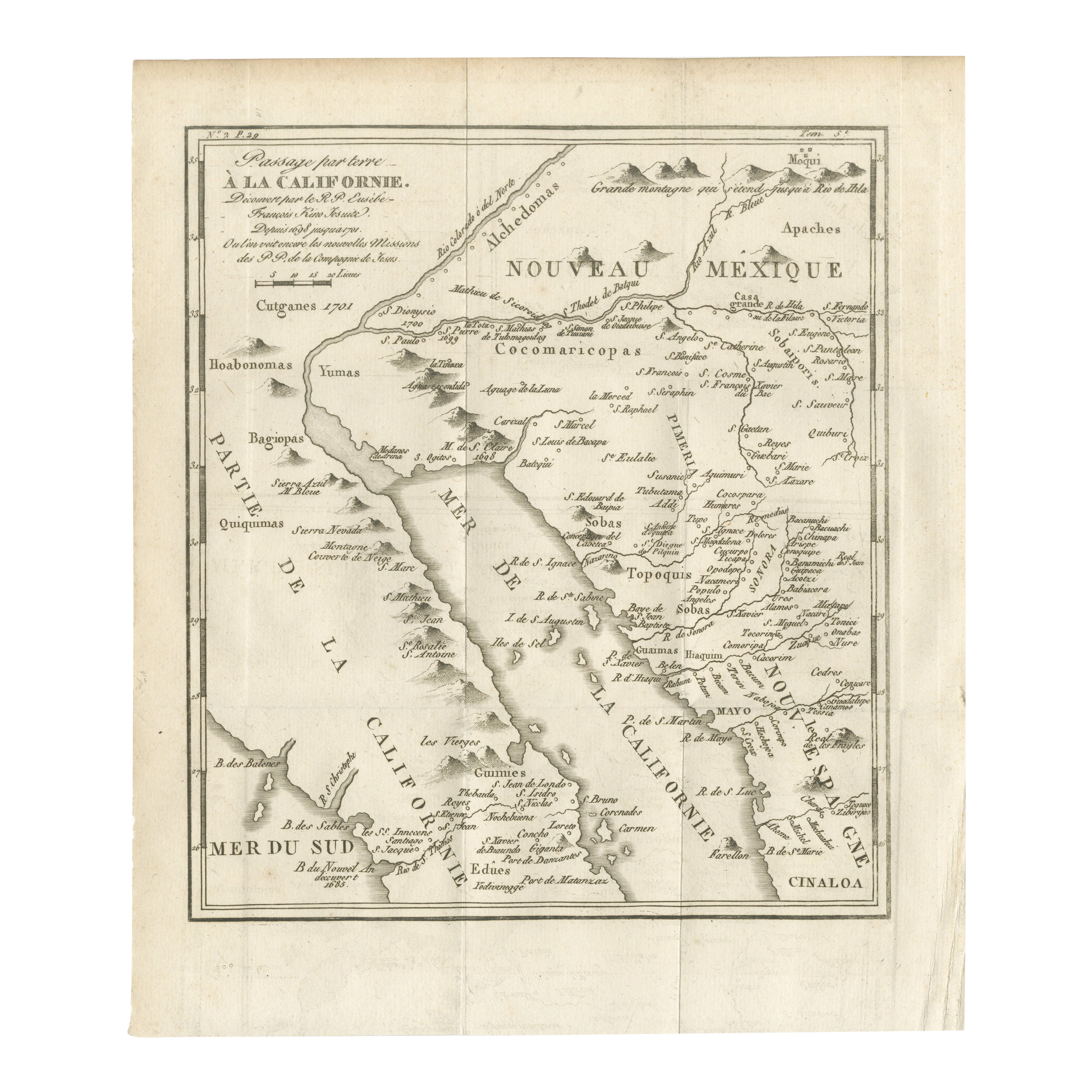
Map of the Overland Route to California – 18th Century
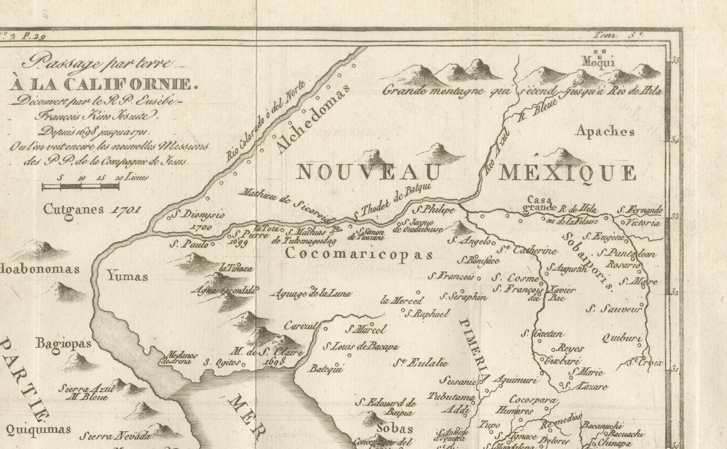
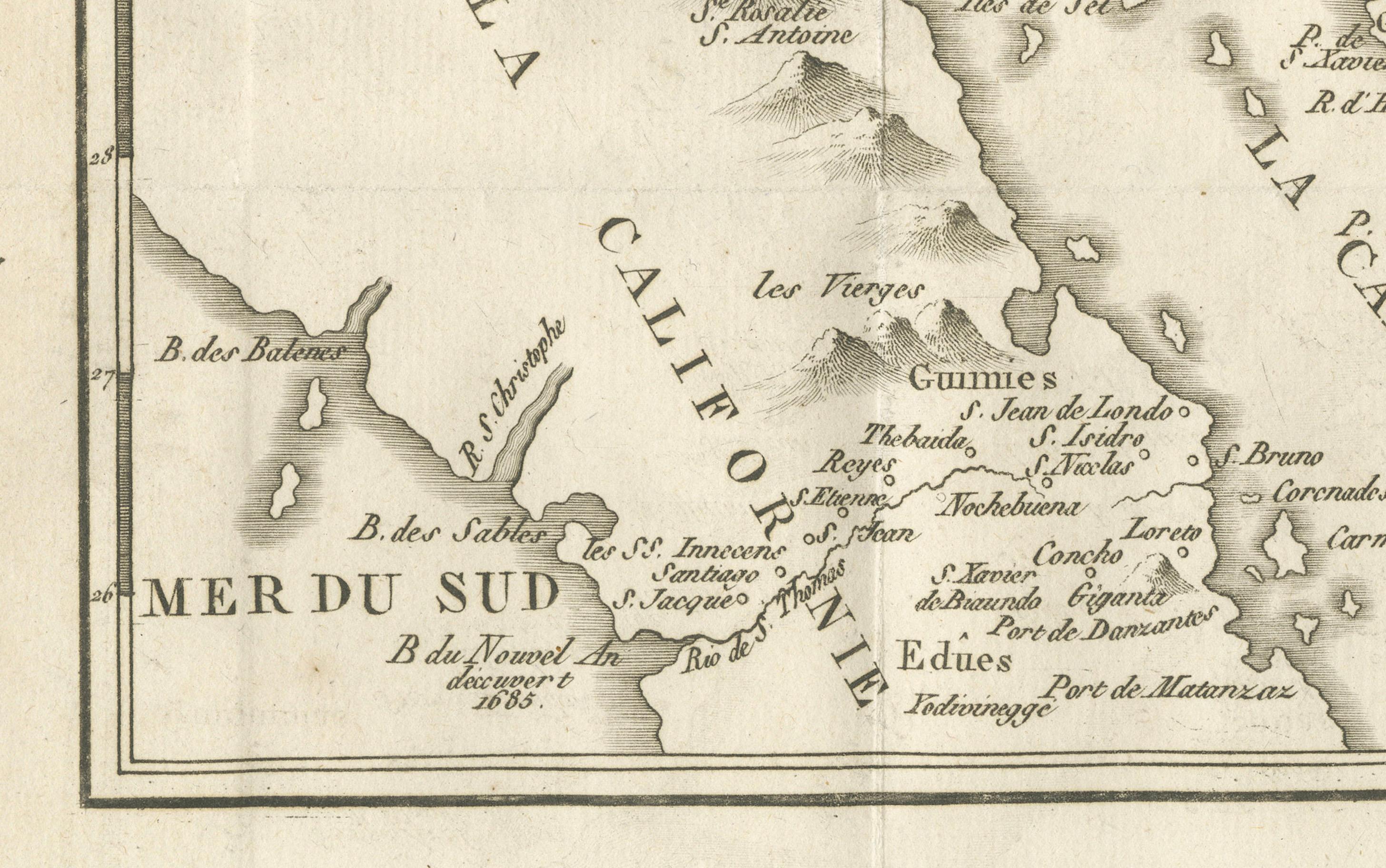
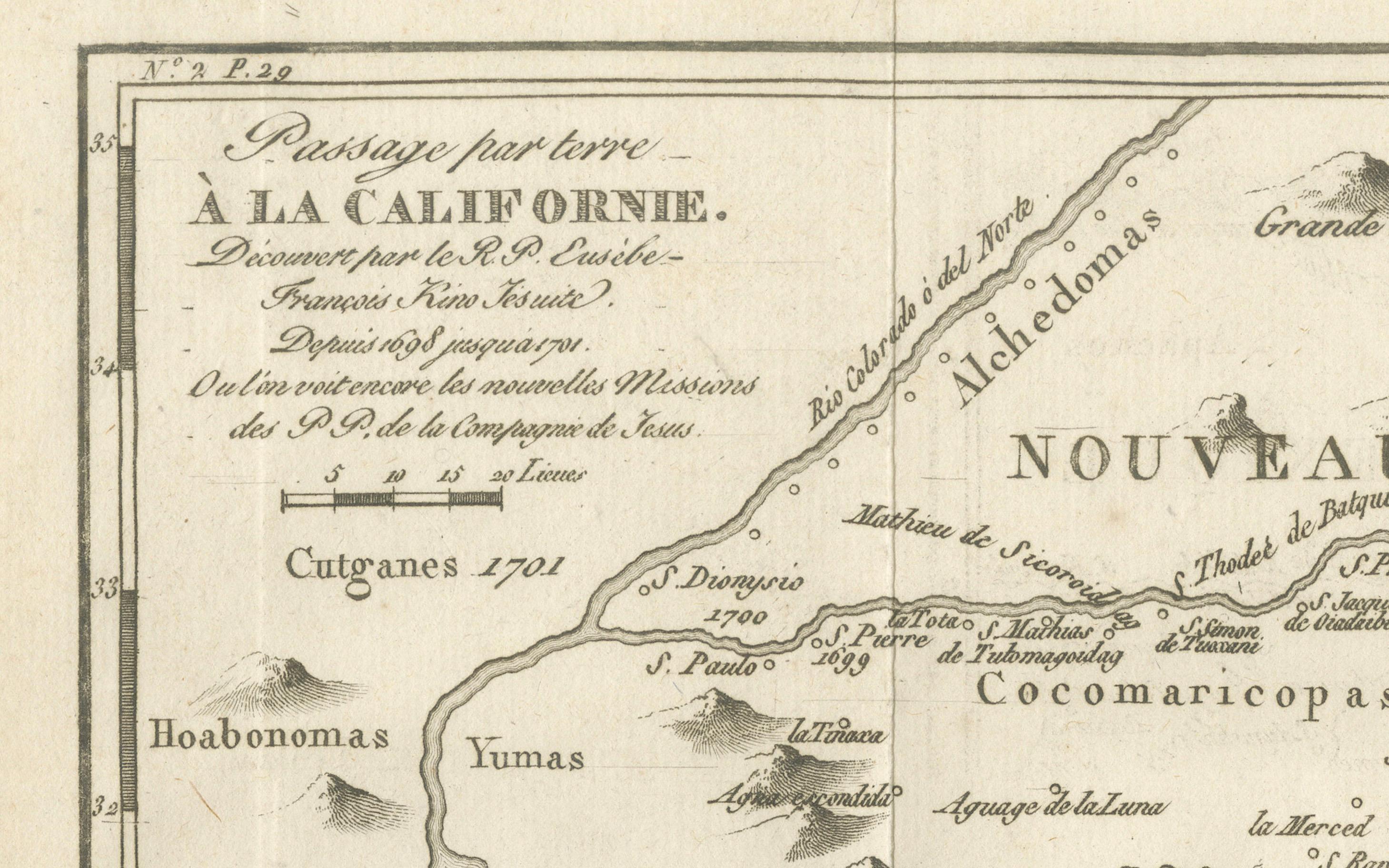
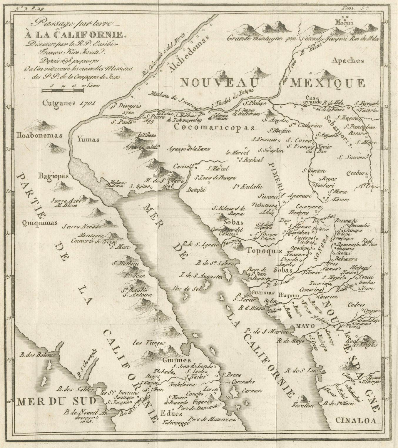
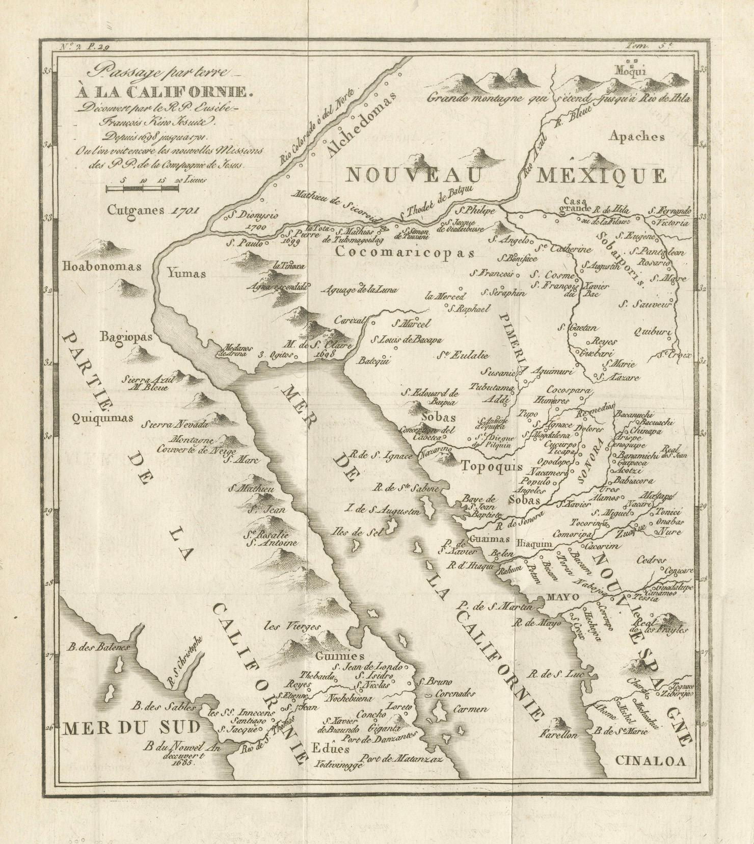
This 18th-century copperplate map, titled Passage par terre à la Californie, illustrates the overland route to California as recorded by the Jesuit missionary Father Eusebio Francisco Kino (P. Kino Soc. Jesu). Kino’s explorations in the late 17th and early 18th centuries were pivotal in correcting the prevailing European misconception that California was an island.
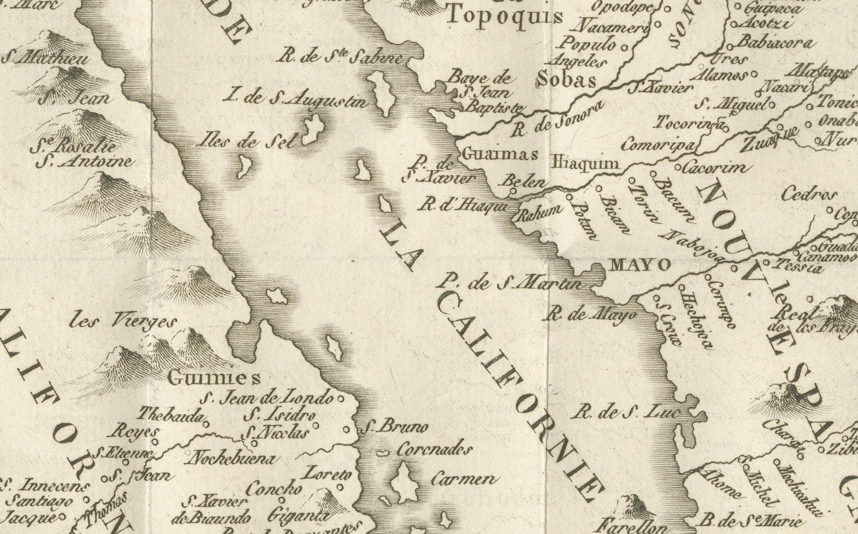
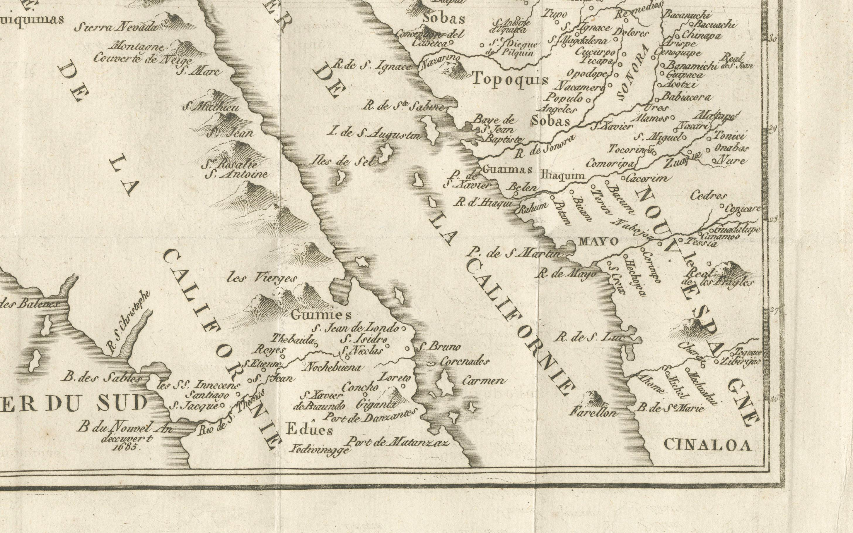
The map covers the northwestern region of New Spain, including the Baja California peninsula (Mer de la Californie), the Gulf of California (Mer de la Californie or Mer Vermeille), Sonora, and parts of present-day Arizona and New Mexico (Nouveau Mexique). Indigenous groups such as the Yumas, Hoabomonas, Cocomaricopas, Moquis (Hopi), Apaches, and others are noted, alongside mission settlements, presidios, and key geographic features.
The coastal areas are dotted with bays, ports, and islands, including the Isles de l’Angel de la Guardia, Carmen, and Tiburon. Inland, the map identifies rivers, mountain ranges (including the “Grande montagne qui sépare Sonora de la Moqui”), and routes used during Kino’s expeditions.
An important historical feature of this map is its role in demonstrating California’s connection to the mainland, contradicting earlier European maps that depicted it as insular. Kino’s work, based on extensive travel and interaction with indigenous communities, provided some of the most accurate cartographic information on the region available to Europeans at the time.
Marked “Tome 4, N° 8” in the upper right, the engraving is part of a larger Enlightenment-era travel and exploration series. Its style combines scientific geographic recording with an ethnographic interest in indigenous peoples and colonial missionary efforts.
Condition: Very good for age, with a central fold as issued. Minor toning and slight foxing at the margins. Strong plate impression with sharp detail in both coastal and inland features.
Framing tips: A dark walnut or black frame with a cream mount will emphasize the crisp engraving and historical interest. This map pairs well with other 18th-century maps of the Americas, especially those linked to exploration and missionary history.
Technique: Copperplate engraving
Maker: Based on the explorations of Eusebio Francisco Kino, French school, c.1760