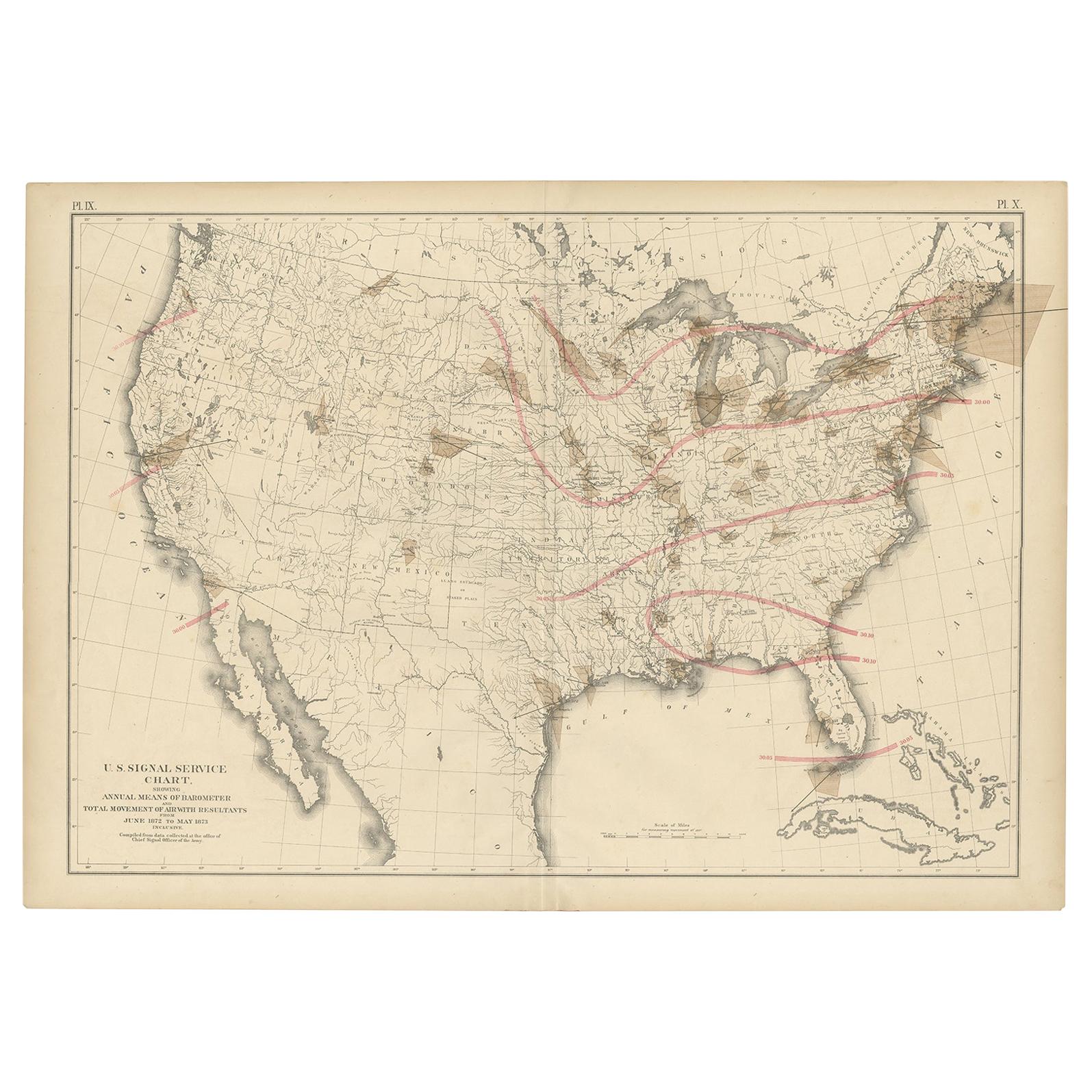
Pl. 9 Antique Map of the Air Movement of the United States by Walker '1874'
€ 500
Original antique · The actual sheet photographed · Certificate of authenticity on request · Sold unframed · Worldwide shipping from € 15 (rates)
Date
1874
Sheet size
55 × 79 cm (21.7 × 31.1 in)
Condition
Good
Reference
BG-11875-41
What the condition grades mean
Excellent
Bright and clean, with no faults worth mentioning.
Very good
Only light signs of age, such as faint toning.
Good
Normal signs of age for a sheet of this period: toning, some foxing, small marks or neat old repairs.
Fair
Clear faults such as staining, tears or repairs, priced to match.
Every fault we see is written in the condition note, and the whole sheet is shown uncropped in the photos.
Condition
Original folding line. General age-related toning, minor wear. Blank verso. Please review the images for further condition details.
About this sheet
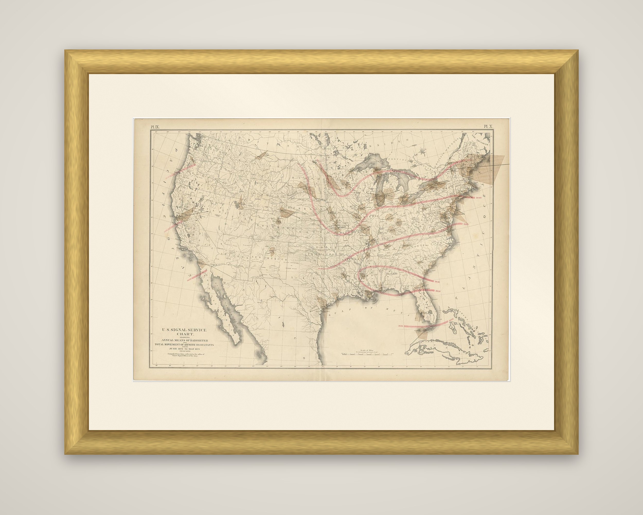
A weather chart of the United States, titled "U.S. Signal Service chart, showing annual means of barometer and total movement of air with resultants from June 1872 to May 1873 inclusive." It is a color-printed double-page sheet from the Statistical Atlas of the United States based on the results of the ninth census, compiled by Francis A. Walker and published in 1874, numbered Pl. IX and X at the upper corners.
The lettering states that the chart was compiled from data collected at the Office of the Chief Signal Officer of the Army. A pale base map of the country, with rivers, lakes and state lines, carries curving pink lines that trace the resultant air movement from the Pacific coast across the interior to the Atlantic seaboard and the Gulf. Small brown wedges at observing stations record the movement of air at those points, and a scale of miles appears at the lower right. Baja California, the Gulf of Mexico, Florida, Cuba and the Bahamas complete the frame.
The Signal Service, an Army body, ran the first national network of weather stations in these years, and this plate shows the early use of its observations in a census atlas.