maps-prints.com
✦
Black Friday Sale
Friday 20 to Monday 30 November: up to 30% off original antique maps and prints
The terms
- Up to 30% off selected original antique maps and prints. Every piece is an original, printed in its own time; none is a reproduction.
- The sale runs from Friday 20 November to Monday 30 November. Sale prices shown here apply from Friday 20 November; until then pieces are sold at their regular price.
- Free FedEx shipping on qualifying orders placed on our own websites: USA, Canada, UK and Europe over $500 / €450; rest of the world over $750 / €675. Smaller orders pay our normal shipping rate.
- Orders placed from 15 to 30 November ship from 1 December, in time for Christmas. Our shipping partner is InXpress.
- Each piece is unique, so the sale is while stock lasts.
Collection:AllAmericanSea chartsMilitaryNatural historyFashionArchitectureBotanicalSacredEast Indies
Sale prices apply from Friday 20 November. Save the pieces you like with the heart and come back on Friday.
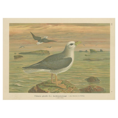 Antique Bird Print of Northern Fulmar at Sea, 19th Century Seabird Illustration
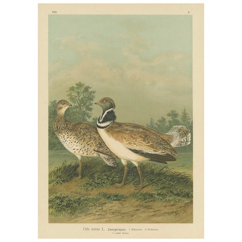 Little Bustards in 19th Century Landscape – Antique Ornithology Bird Print
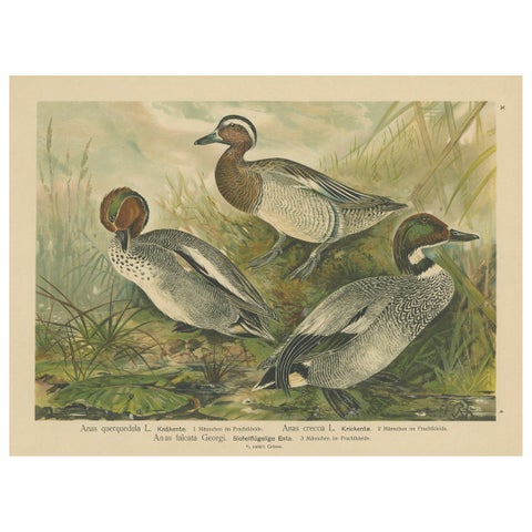 Ducks in Breeding Plumage – Antique 19th Century Chromolithograph Print
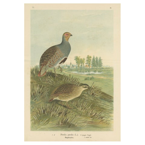 Partridges in Rural Landscape – Antique 19th Century Bird Chromolithograph
 Bitterns in Reeds – Antique 19th Century Bird Chromolithograph of Little Bittern
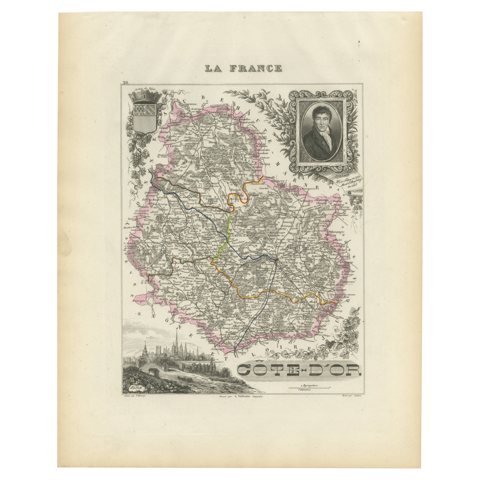 Map of Côte-d'Or France with Dijon and Burgundy Wine Region, 19th Century
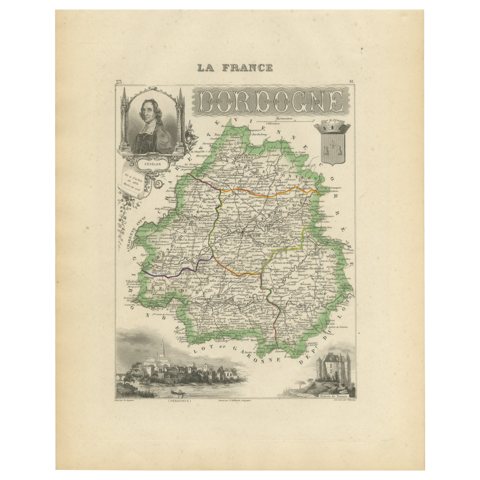 Map of Dordogne France with Périgueux and Château de Jumilhac, 19th Century
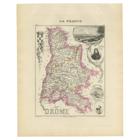 Map of Drôme France with Valence and Rhône Valley Wine Region, 19th Century
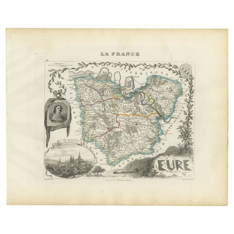 Map of Eure France with Evreux, Poussin and Normandy Countryside, 19th Century
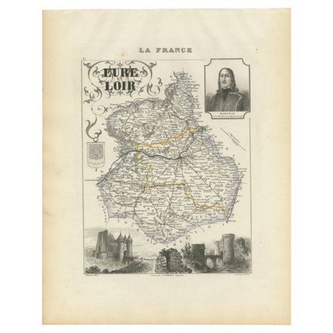 Map of Eure-et-Loir France with Chartres Cathedral and Marceau Portrait, c.1850
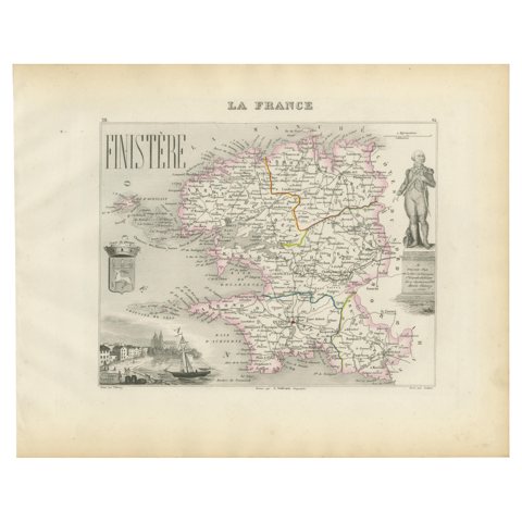 Map of Finistère France with Brest, Quimper and Brittany Coastline, 19th Century
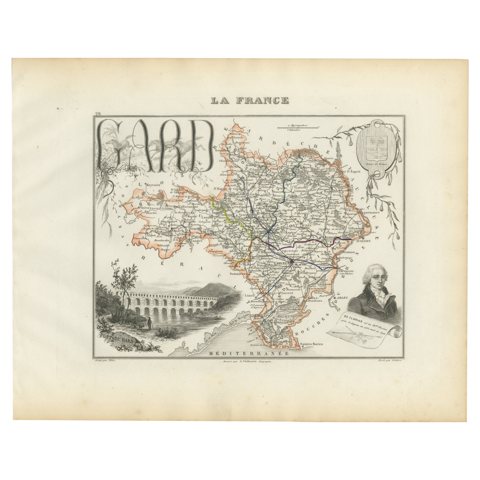 Map of Gard France with Pont du Gard and Wine Regions by Vuillemin, 19th c
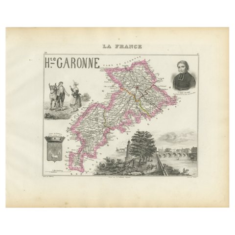 Map of Haute-Garonne France with Toulouse and Garonne River by Vuillemin, c.1850
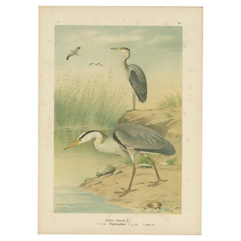 Antique Bird Print of the Grey Heron by Naumann, circa 1895
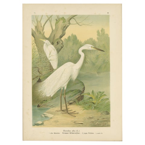 Great Egret or White Heron, Elegant German Ornithology Print c.1985
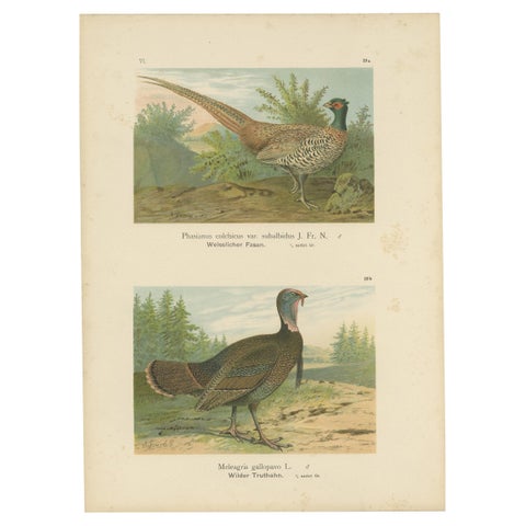 Pheasant and Wild Turkey, Antique Chromolithograph Game Birds c.1895
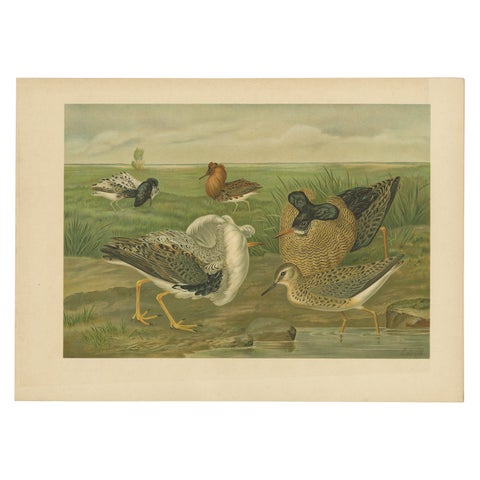 Ruffs and Reeves in Breeding Plumage, Ornithological Lithograph c.1895
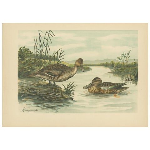 Northern Shoveler Ducks by Reinhold Schmidt, Antique Bird Print c.1895
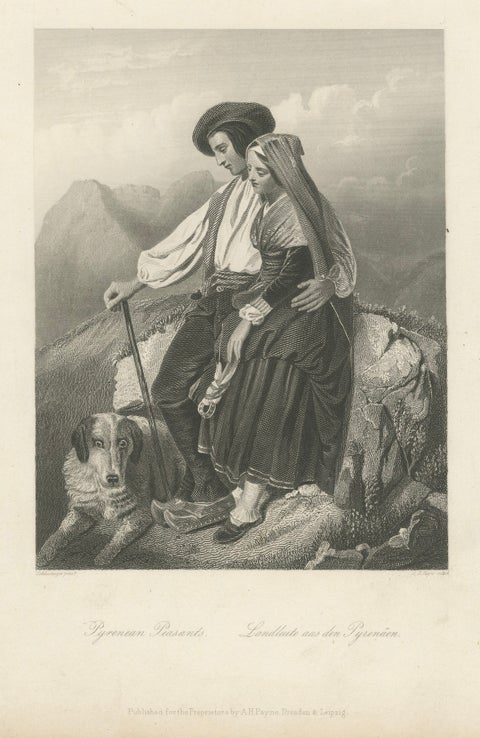 Pyrenean Peasant Couple with Dog – Romantic 19th C. Engraving c.1840
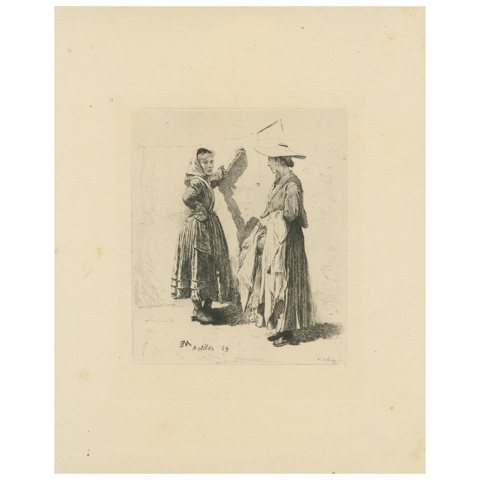 Antibes Washerwomen Etching – Adolphe Lalauze Depicting Rural Life, 1869
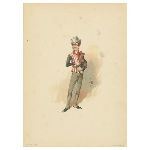 Sam Weller from Pickwick Papers – Kyd Character Sketch after Dickens, ca. 1889
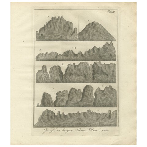 Mountain Views of Sinai and Horeb – Old Engraving of Biblical Landscapes, c.1776
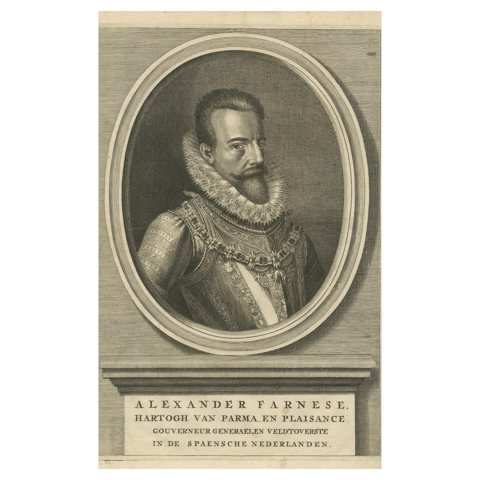 Antique Portrait Alexander Farnese – Spanish Netherlands Governor, c. 1750
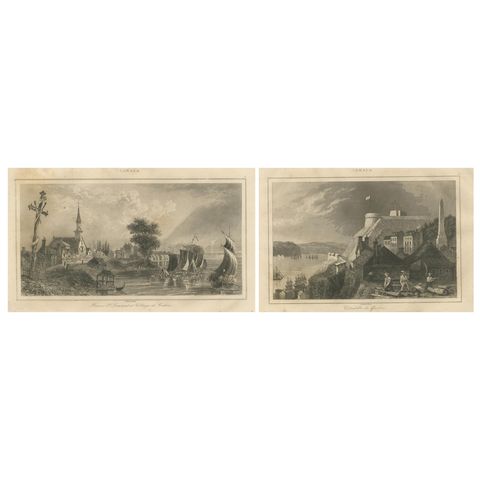 Village of Cedars and Quebec Citadel – Pair of 19th Century Canadian Views
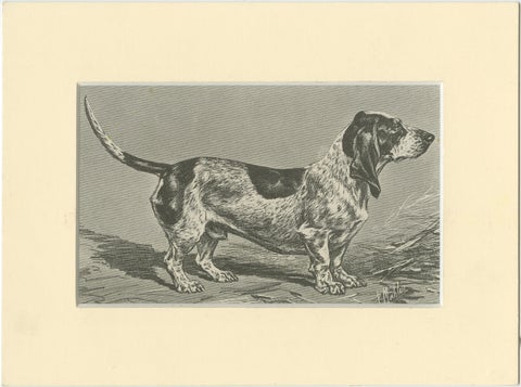 Blue Basset of Gascogne – Antique Dog Illustration, 1915
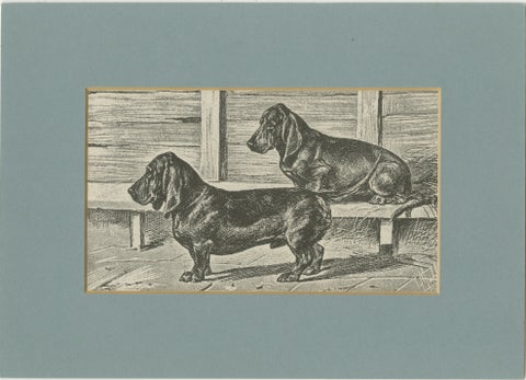 Dachshund Dog Illustration – Antique 1915 Print from Dogs of All Nations
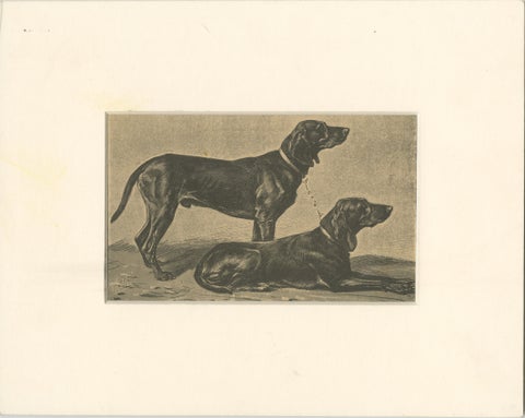 Swiss Hound Briquets – Antique Dog Print, circa 1880, French Publication
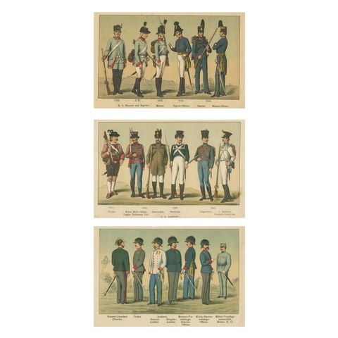 Austrian Military Uniforms Lithograph – Engineers, Landwehr & Staff, c.1890
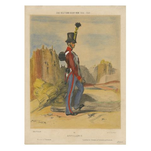 Austrian Artillery Soldier, 1835–1848 – Hand-Coloured Lithograph
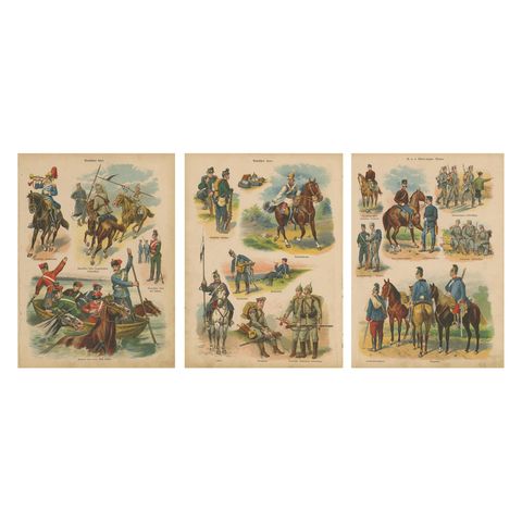 German & Austro-Hungarian Military Uniforms – Cavalry, Infantry, Artillery, 1890
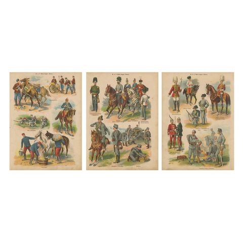 Austro-Hungarian Army Uniforms – Cavalry, Infantry, Artillery & Parade, 1890
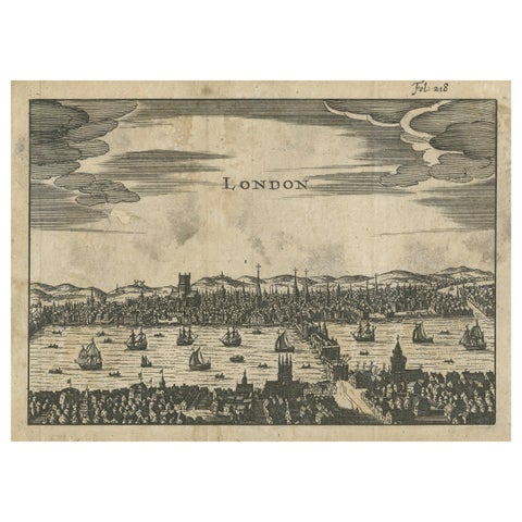 Antique Woodcut View of London – Thames River Panorama with London Bridge, c1650
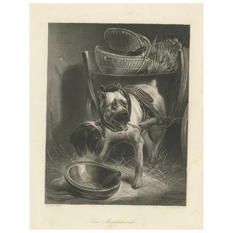 Belgian Mastiff Working Dog – Antique Engraving by A.H. Payne, c.1850
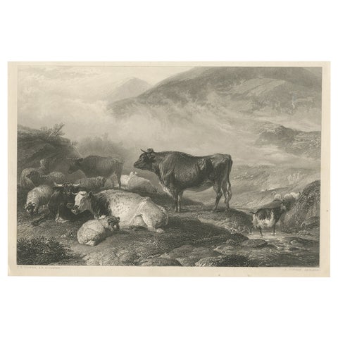 Cattle Early Morning – Antique 1849 Engraving by J. Cousen after T.S. Cooper
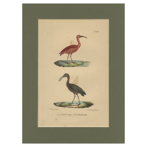 Scarlet Ibis & Glossy Ibis – Antique hand-coloured lithograph, c.1828
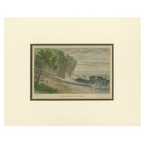 Landing Through the Surf – Ceram, late 19th-century hand-coloured wood engraving
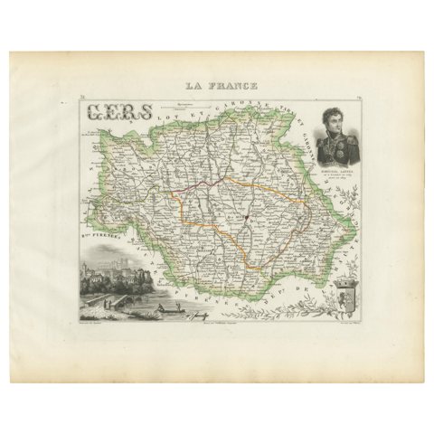 Map of Gers France with Auch and Armagnac Wine Region by Vuillemin, 19th c
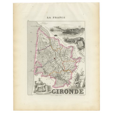 Map of Gironde France with Bordeaux Wine Region by Vuillemin, 19th c
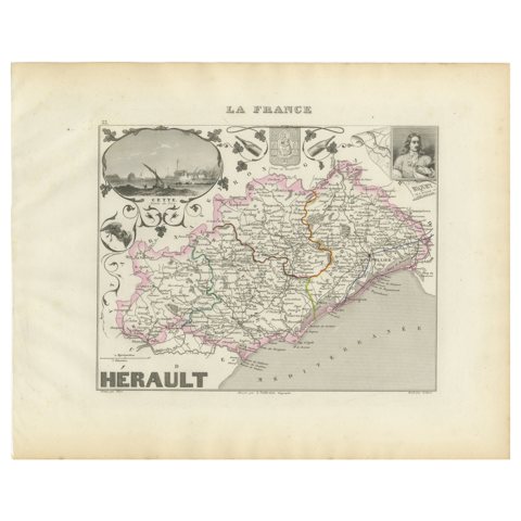 19th Century Map of Hérault, France – Montpellier, Béziers, Coastal Languedoc
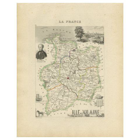 Antique French Map of Ille-et-Vilaine Region with Rennes, Saint-Malo, 1800s
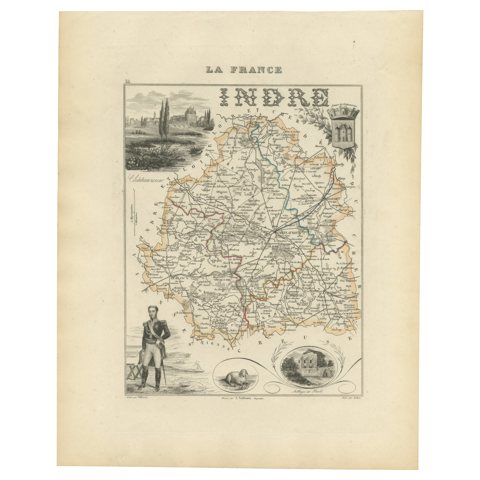 Antique French Map of Indre Region with Châteauroux and Issoudun, 1800s
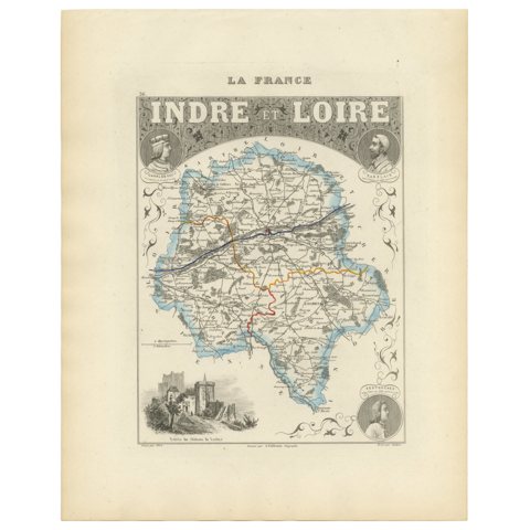 Antique French Map of Indre-et-Loire with Tours, Amboise, Chinon, 1800s
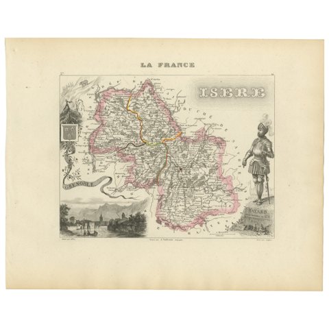 Antique French Map of Isère Region with Grenoble, Vienne, Dauphiné, 1800s
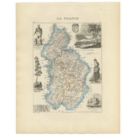 Antique French Map of Jura Region with Lons-le-Saunier, Dole, 1800s
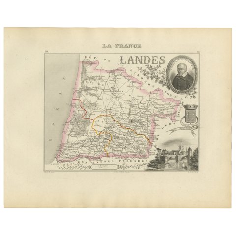 Antique French Map of Landes Region with Mont-de-Marsan, Dax, Bayonne, 1800s
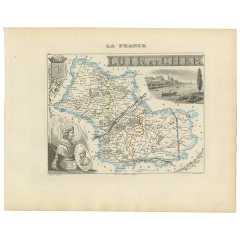 19th Century Map of Loir-et-Cher, France – Blois, Vendôme, Loire Valley Castles
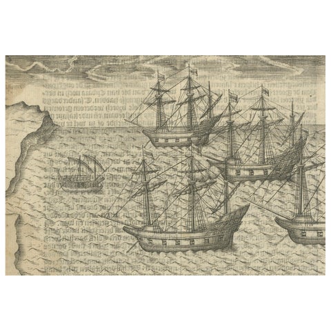 Dutch Voyages to Madagascar – Early Exploration Scene, Pontanus 1611
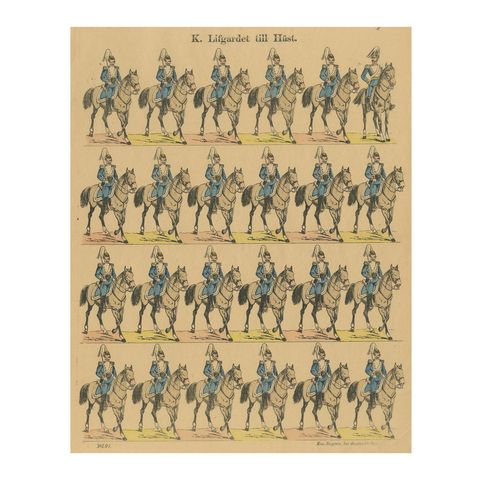 Swedish Life Guards on Horseback – Royal Cavalry Uniforms, c.1860
Sharing the sale? Download the Black Friday banners.