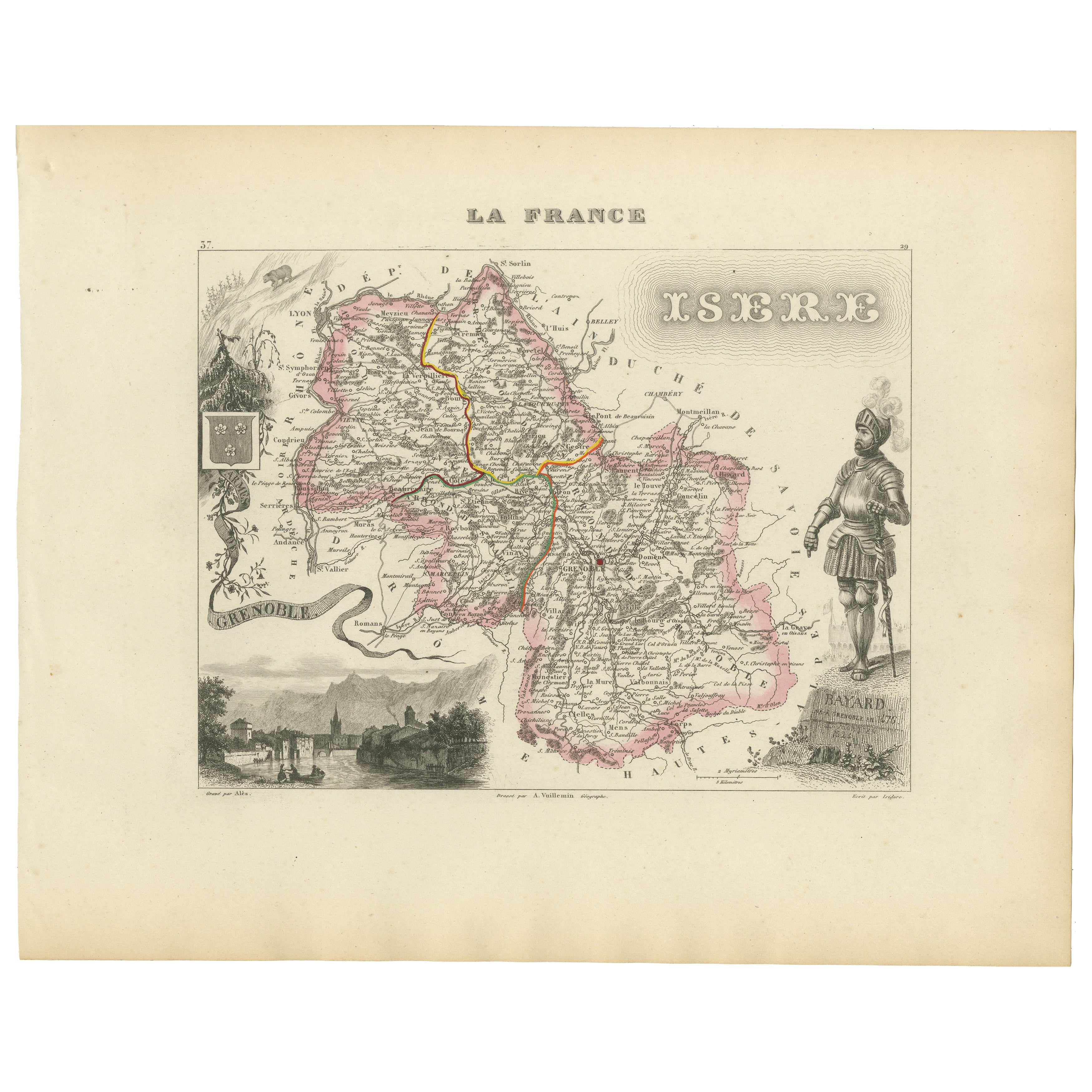
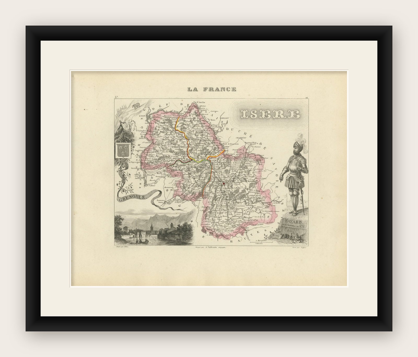
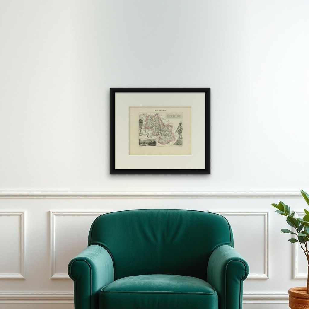
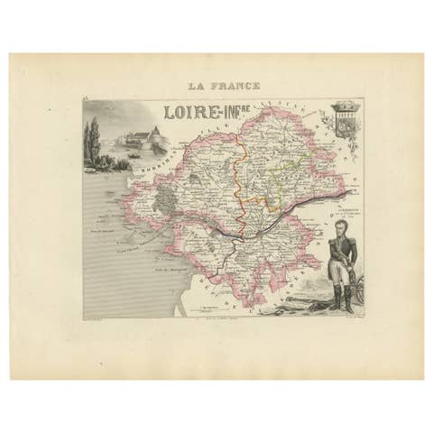
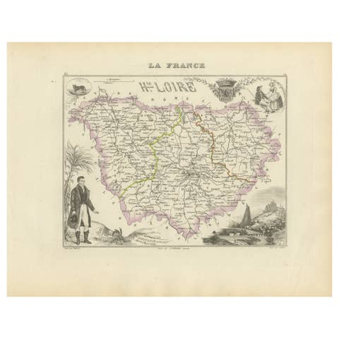
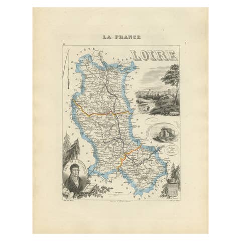
Antique French Map of Isère Region with Grenoble, Vienne, Dauphiné, 1800s
€ 140
Original antique · The actual sheet photographed · Certificate of authenticity on request · Sold unframed · Worldwide shipping from € 15 (rates)
Mapmaker / artist
Alexandre Vuillemin, France, mid-19th century
Technique
Engraving with original hand color
Sheet size
26.1 × 32.5 cm (10.3 × 12.8 in)
Condition
Good
Reference
BG-13331-37
What the condition grades mean
Excellent
Bright and clean, with no faults worth mentioning.
Very good
Only light signs of age, such as faint toning.
Good
Normal signs of age for a sheet of this period: toning, some foxing, small marks or neat old repairs.
Fair
Clear faults such as staining, tears or repairs, priced to match.
Every fault we see is written in the condition note, and the whole sheet is shown uncropped in the photos.
Condition
Condition report: Very good condition with crisp engraving and bright original hand coloring. Light marginal toning and minor foxing spots consistent with age, not affecting the printed area.
About this sheet
Antique Map of Isère, France by Vuillemin, 19th Century
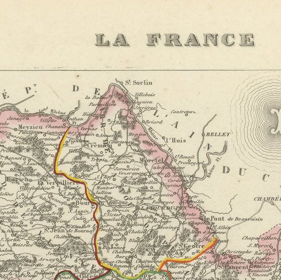
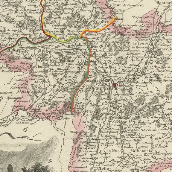
This decorative 19th-century map presents the département of Isère in southeastern France, engraved by Alexandre Vuillemin. Centered on Grenoble, the map outlines towns, rivers, and transport routes, with departmental boundaries highlighted in original hand color.
The map is enriched with finely engraved vignettes that reflect the region’s identity. At the lower left is a detailed view of Grenoble, framed by the surrounding Alpine landscape. To the right stands an engraved portrait of Pierre Terrail, seigneur de Bayard (1473–1524), known as the “Chevalier sans peur et sans reproche” (the knight without fear and beyond reproach), a legendary figure of French chivalry. At the upper left appears the coat of arms of Isère. Together, these elements capture both the cultural pride and historic importance of the region.
Isère, part of the historical Dauphiné province, is renowned for its Alpine scenery, medieval towns, and strategic role in French history. Vuillemin’s decorative approach celebrates both the geography and heritage of the département.
Alexandre Vuillemin (1812–1880) was one of France’s most accomplished 19th-century cartographers, known for his finely engraved maps and atlases. His Atlas des départements de la France is particularly prized for its fusion of geographic accuracy with artistic embellishment.
Condition report: Very good condition with crisp engraving and bright original hand coloring. Light marginal toning and minor foxing spots consistent with age, not affecting the printed area.
Framing tips: A dark green or walnut frame with ivory matting will harmonize beautifully with the Alpine vignette. A slim gilt fillet may also enhance the decorative engravings and coat of arms.