About this sheet
Antique Map of Indre, France by Vuillemin, 19th Century
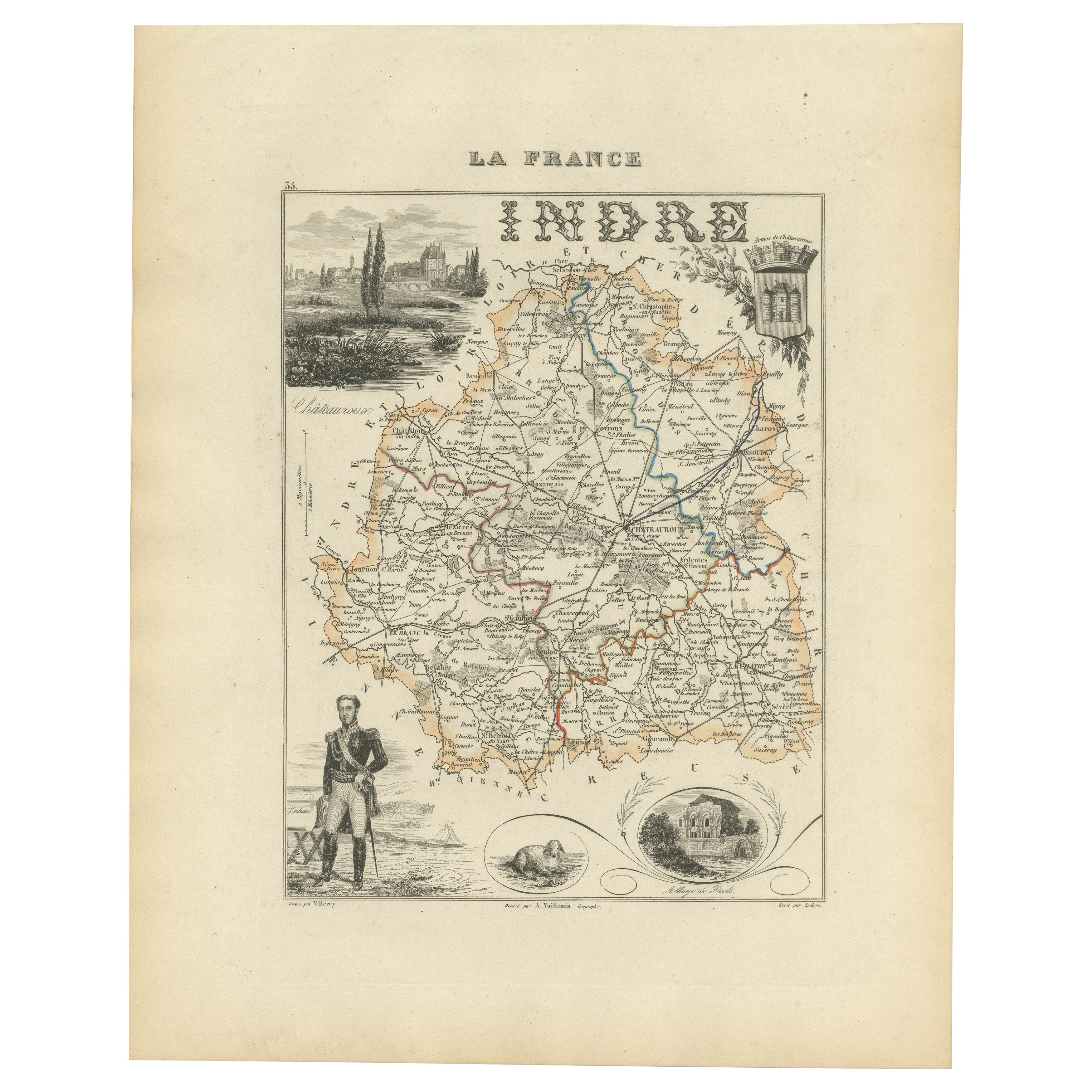
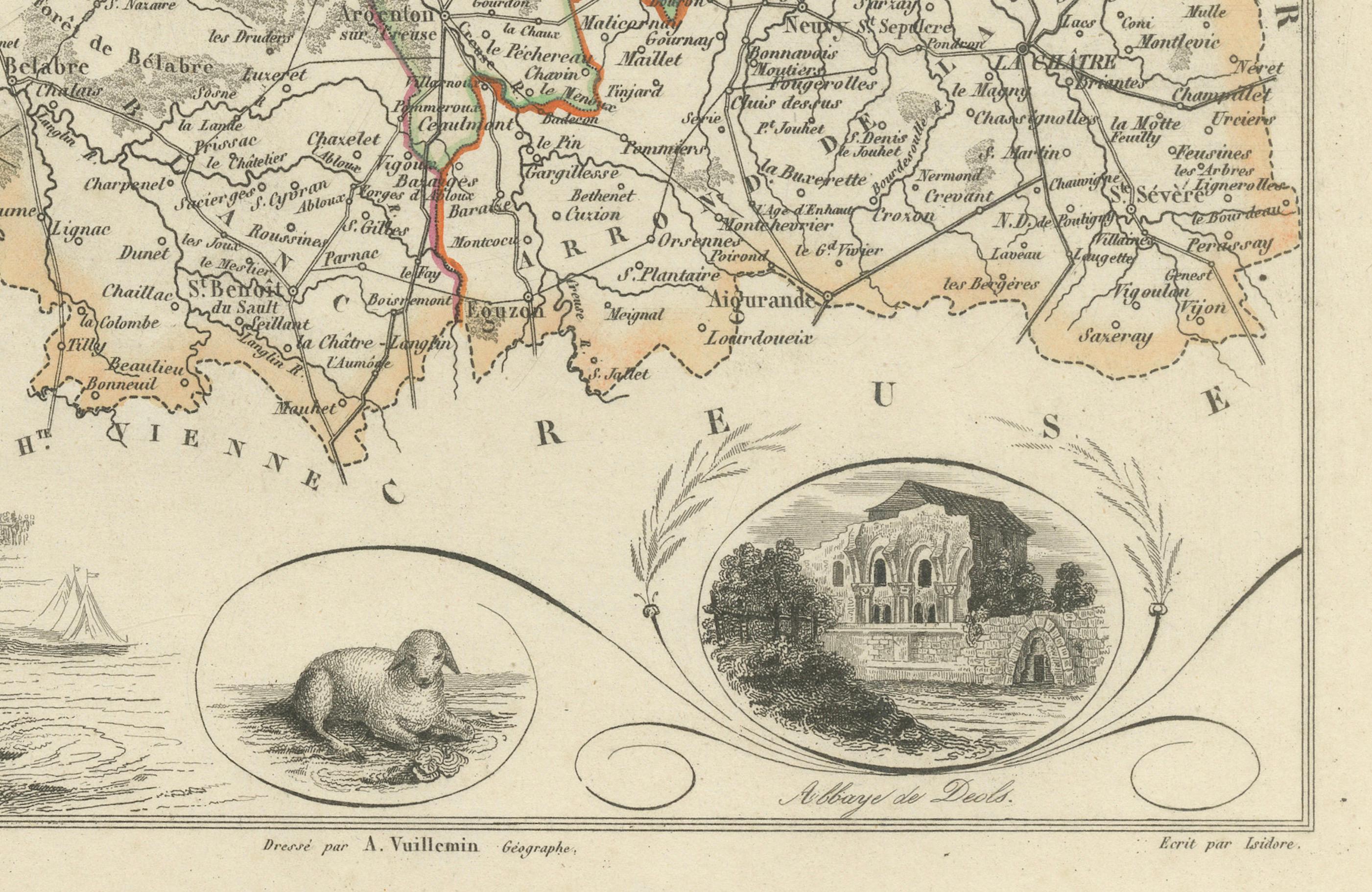
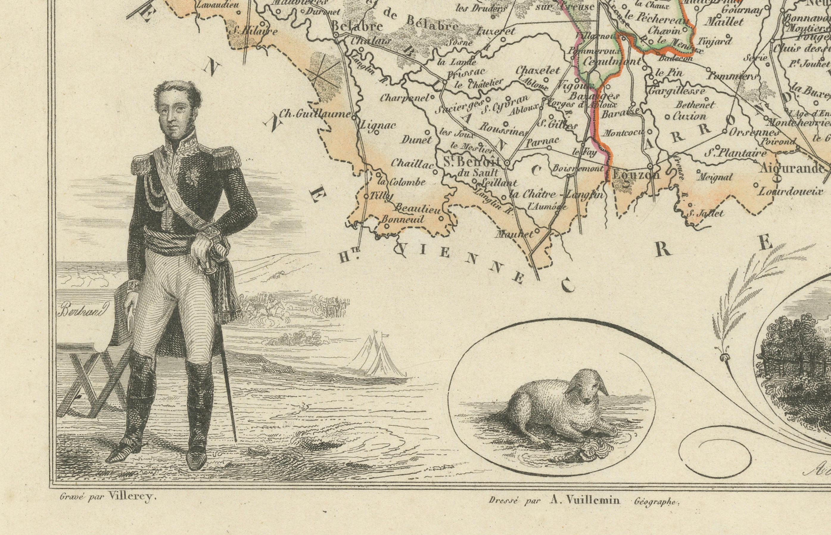
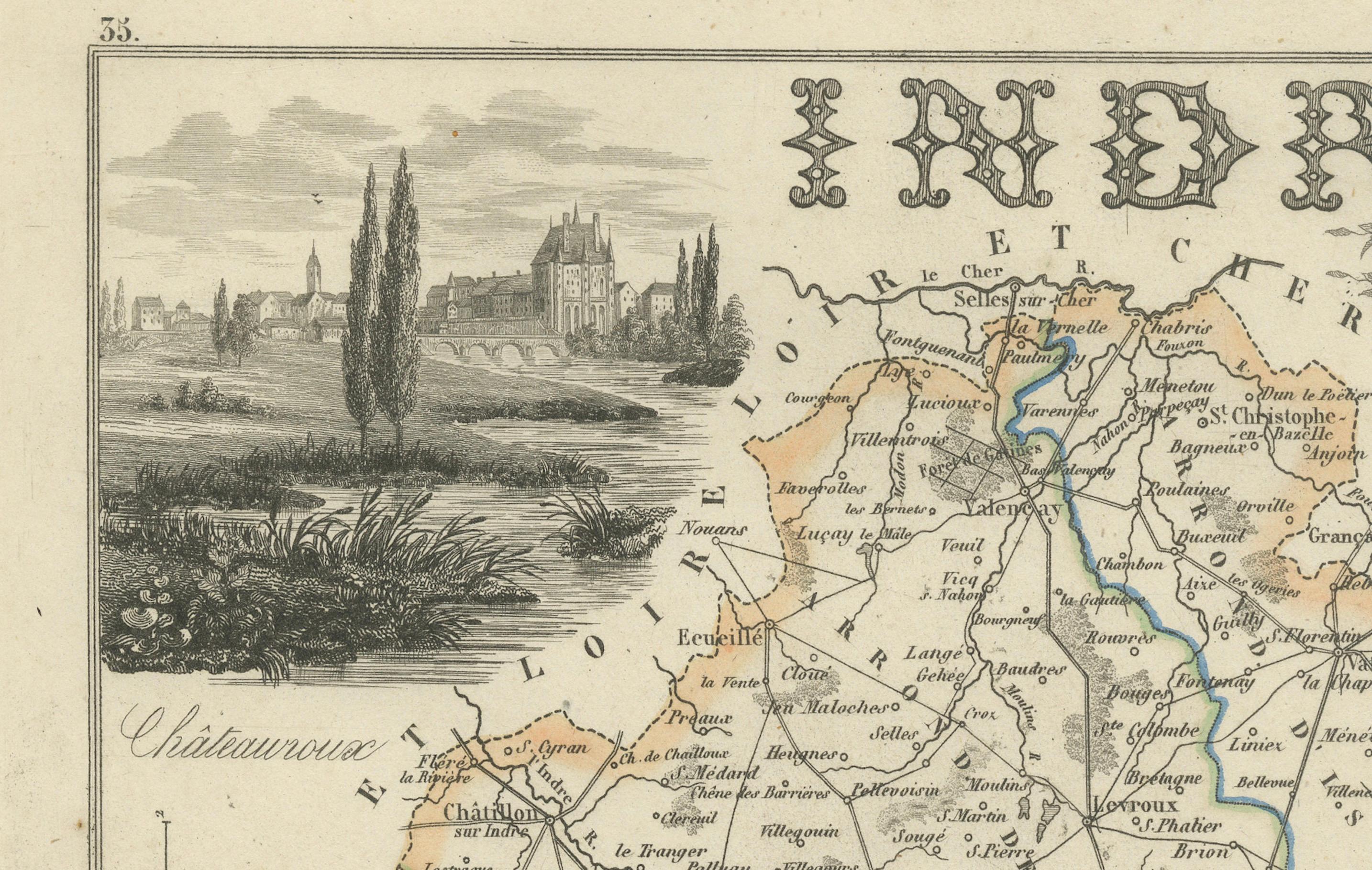
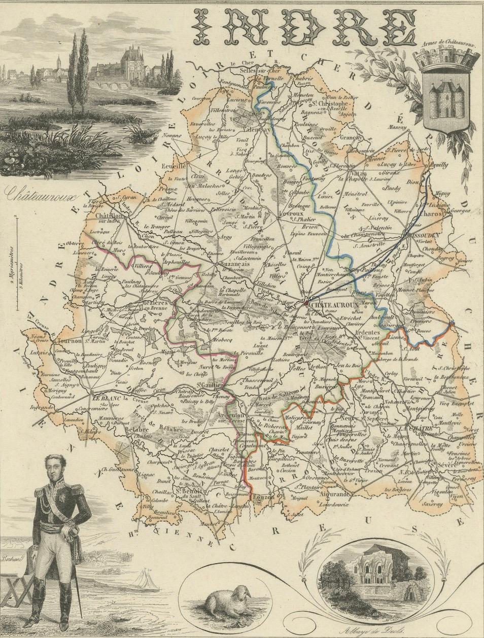
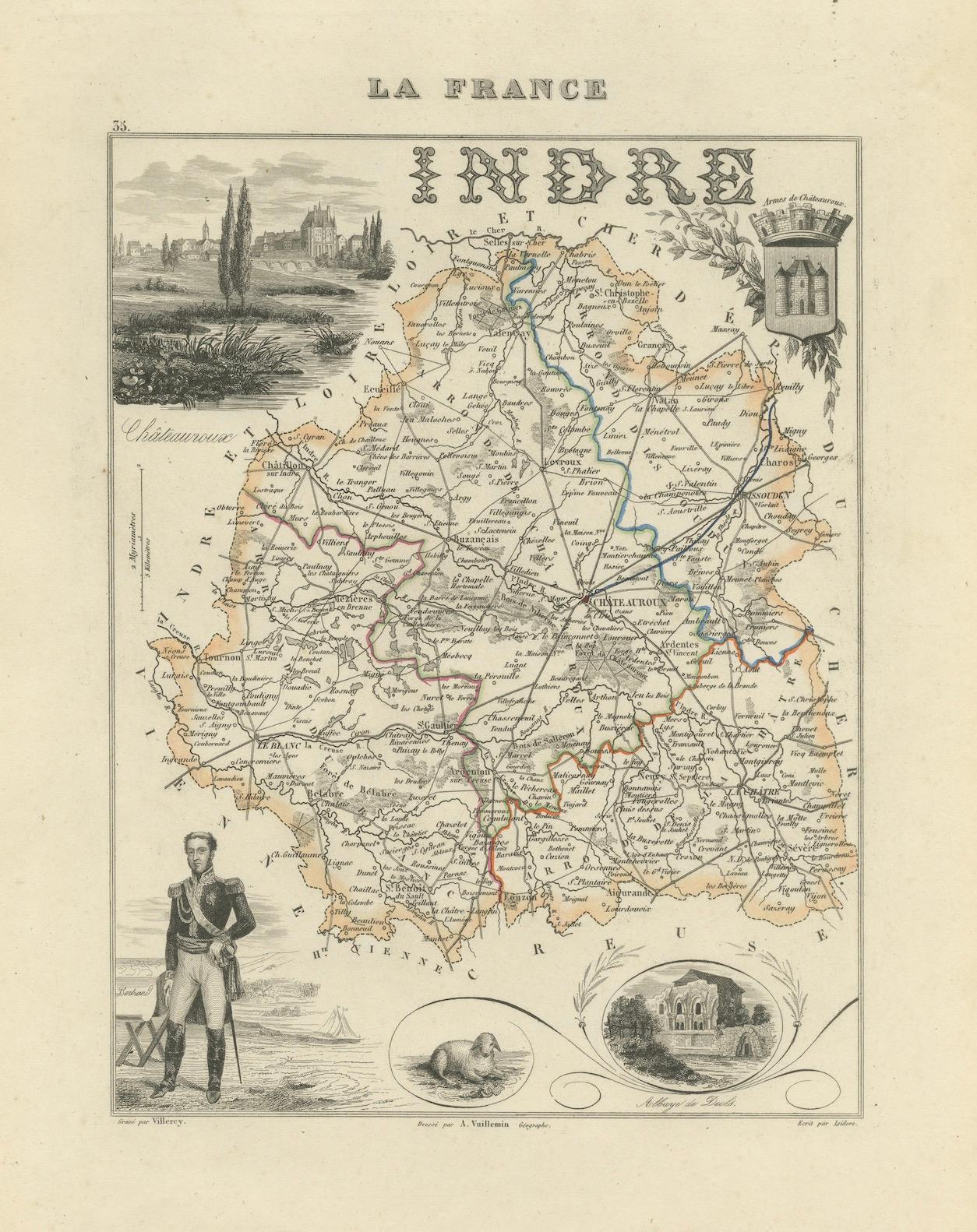
This fine decorative map presents the département of Indre, situated in the Centre-Val de Loire region of central France. Engraved by Alexandre Vuillemin in the mid-19th century, it is part of his celebrated atlas of French départements, known for combining precise cartography with richly engraved illustrations.
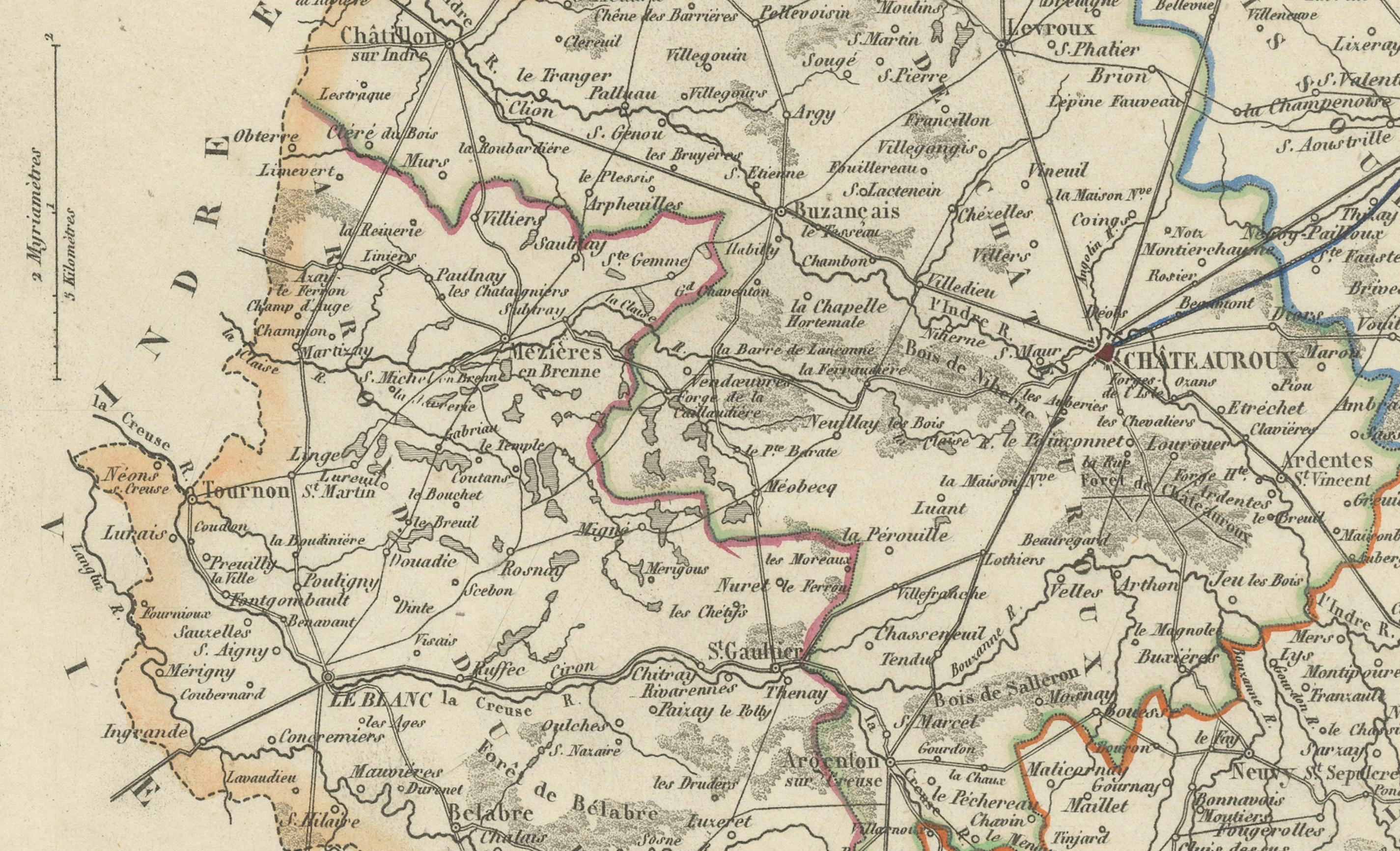
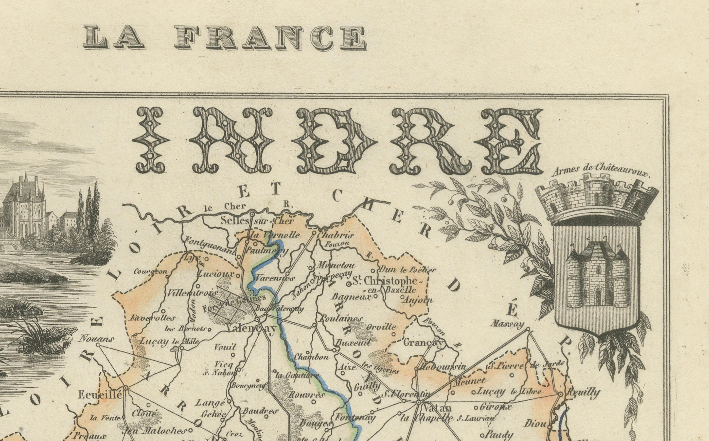
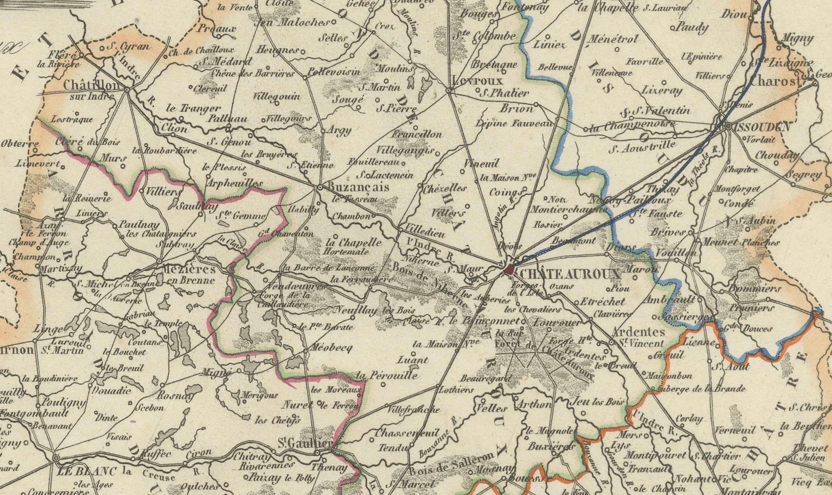
The map delineates towns, rivers, and roads with departmental borders highlighted in original outline hand-coloring. At the upper left, a vignette shows the Château de Châteauroux, a significant landmark in the département. Surrounding engravings further embellish the composition: a military officer in uniform, the coat of arms of Indre, a beaver, and a view of the ruins of the Abbey of Déols. Together, these images emphasize the region’s military, historical, and natural character.
The département of Indre is historically important, with Châteauroux as its capital. Known for its rich landscapes and heritage sites, the area has long been associated with both agriculture and cultural landmarks.
Alexandre Vuillemin (1812–1880), a prominent French cartographer and publisher, was renowned for his clear geographical renderings enriched with decorative elements. His atlas of France’s départements remains a sought-after work, offering both a geographical overview and insight into the identity of each region during the 19th century.
Condition report: Very good condition with strong hand-coloring on borders. Light scattered foxing and faint toning in the margins, consistent with age. Decorative engravings remain crisp and well-preserved.
Framing tips: A dark wood or walnut frame with a wide ivory mat will emphasize the finely engraved vignettes. Adding a soft green inner liner can subtly highlight the Loire landscape theme.
Technique: Engraving with original hand color
Maker: Alexandre Vuillemin, France, mid-19th century