About this sheet
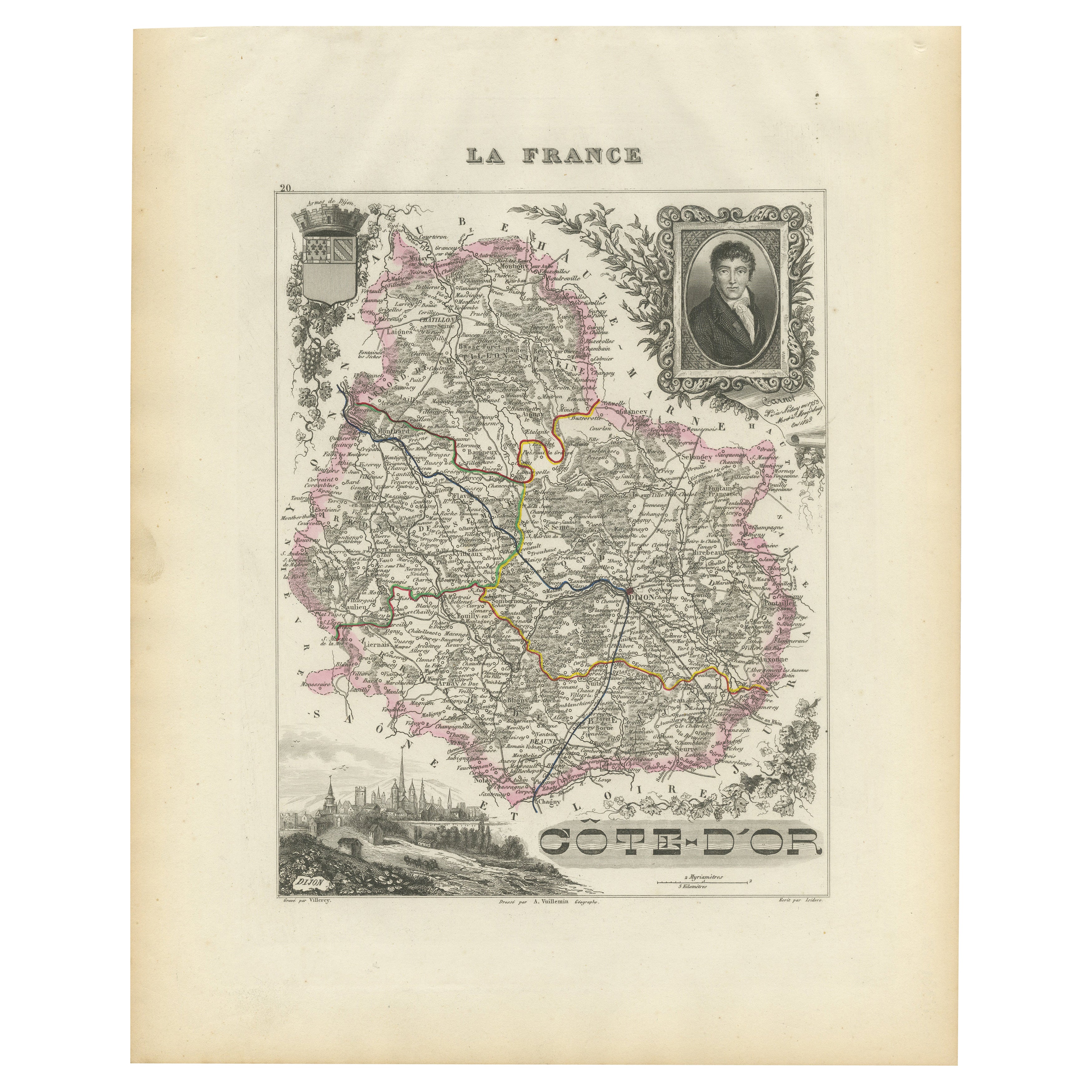
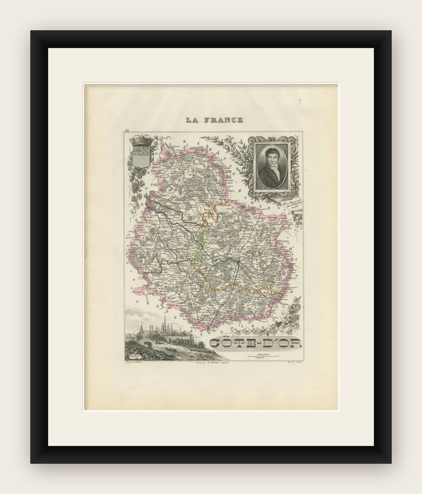
Map of Côte-d'Or France with Dijon and Burgundy Wine Region, 19th Century
This beautifully engraved 19th-century map of Côte-d'Or, located in the historic region of Burgundy, was drawn by Alexandre Vuillemin and published by Migeon in Paris as part of the Nouvel Atlas Illustré. Meticulously detailed and adorned with elegant vignettes, the map presents one of France’s most prestigious wine regions with geographic clarity and cultural reverence.
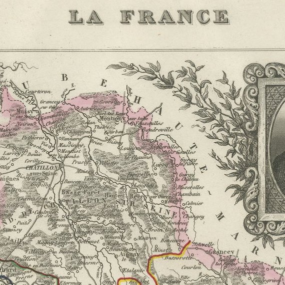
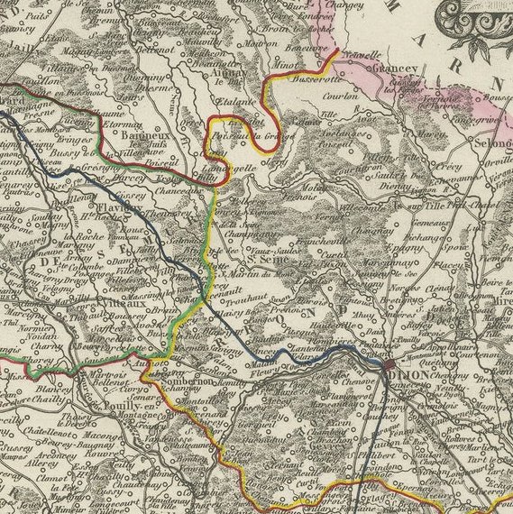
The map is bordered in soft pink watercolor and includes all major roads, rivers, and towns. Dijon, the department’s capital and a center of culture and gastronomy, is prominently marked, as are Beaune, Nuits-Saint-Georges, and other key communes of the Côte d’Or vineyard belt. The topography emphasizes the region’s east-facing slopes that form the heart of the wine-producing Côte de Nuits and Côte de Beaune.
In the lower left is an engraving of the city of Dijon, framed by its Gothic spires and medieval architecture. In the upper right is a portrait of a notable local figure, finely framed with ornamental detailing. The departmental coat of arms appears in the upper left, flanked by grapevines and acanthus leaves, alluding to the wine heritage of the region.
Côte-d'Or is home to some of the world’s most renowned vineyards, producing exceptional Pinot Noir and Chardonnay wines. The Côte de Nuits is celebrated for its powerful, age-worthy reds, including grand crus like Romanée-Conti and Clos de Vougeot. The Côte de Beaune is known for both outstanding reds and whites, with names such as Meursault, Puligny-Montrachet, and Corton-Charlemagne. The region’s complex terroir, centuries-old wine tradition, and strict appellation controls make it a benchmark for fine wine globally.
This map is not only a tribute to the geography of the region but also a beautiful celebration of its vinicultural and architectural achievements. It is ideal for collectors of antique maps, wine history, or French decorative prints.
Condition summary:
Very good condition with minor foxing and some light toning to the outer margins. The hand-coloring remains vibrant, and the engraving is clean and crisp.
Framing tips:
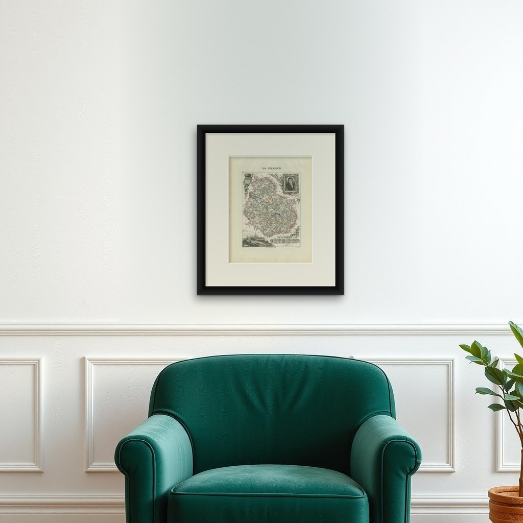
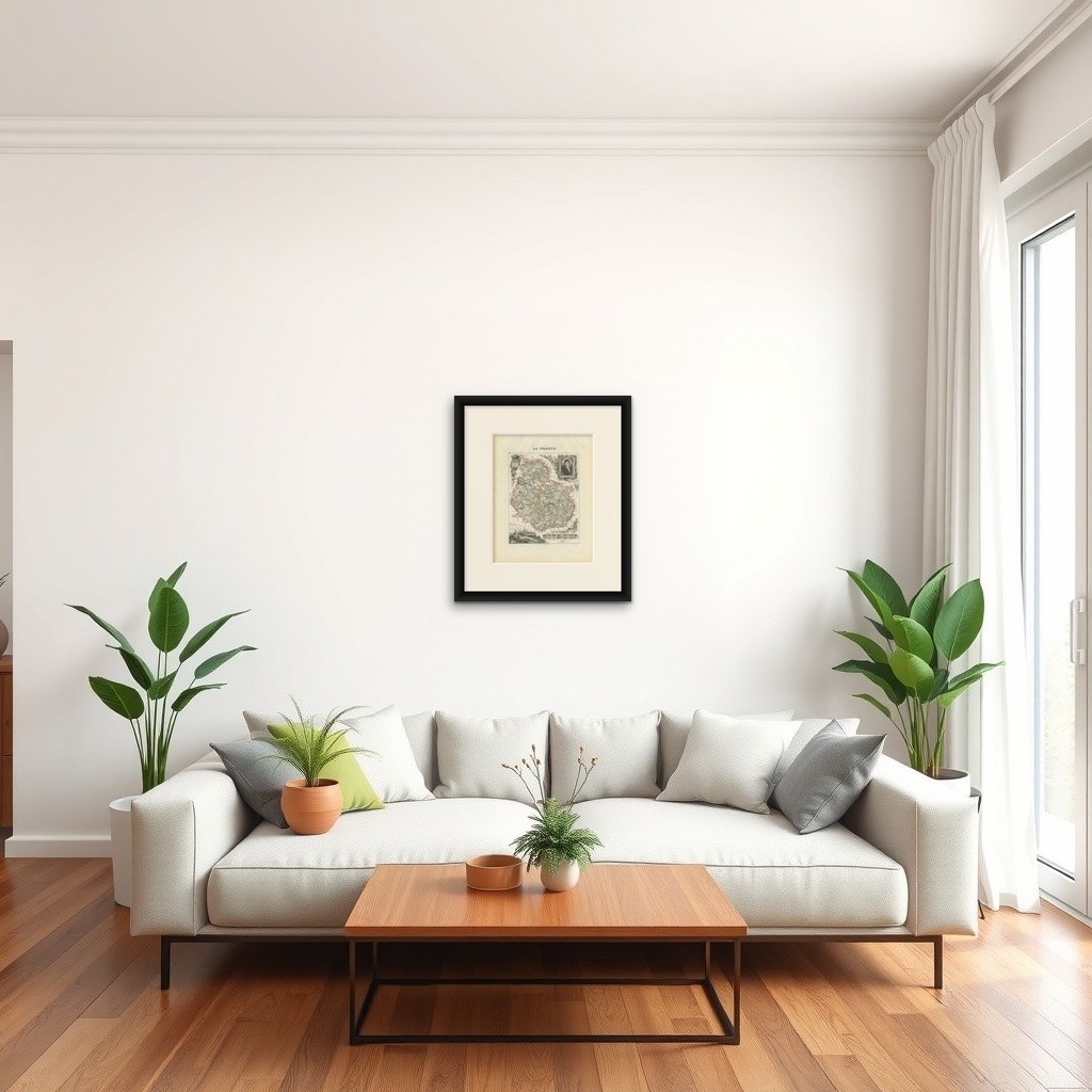
A dark mahogany or black frame pairs elegantly with the refined engraving style and pink border. A warm cream or light gray mat complements the map's historical aesthetic. Use museum-grade glass to protect the artwork and enhance visual clarity.