About this sheet
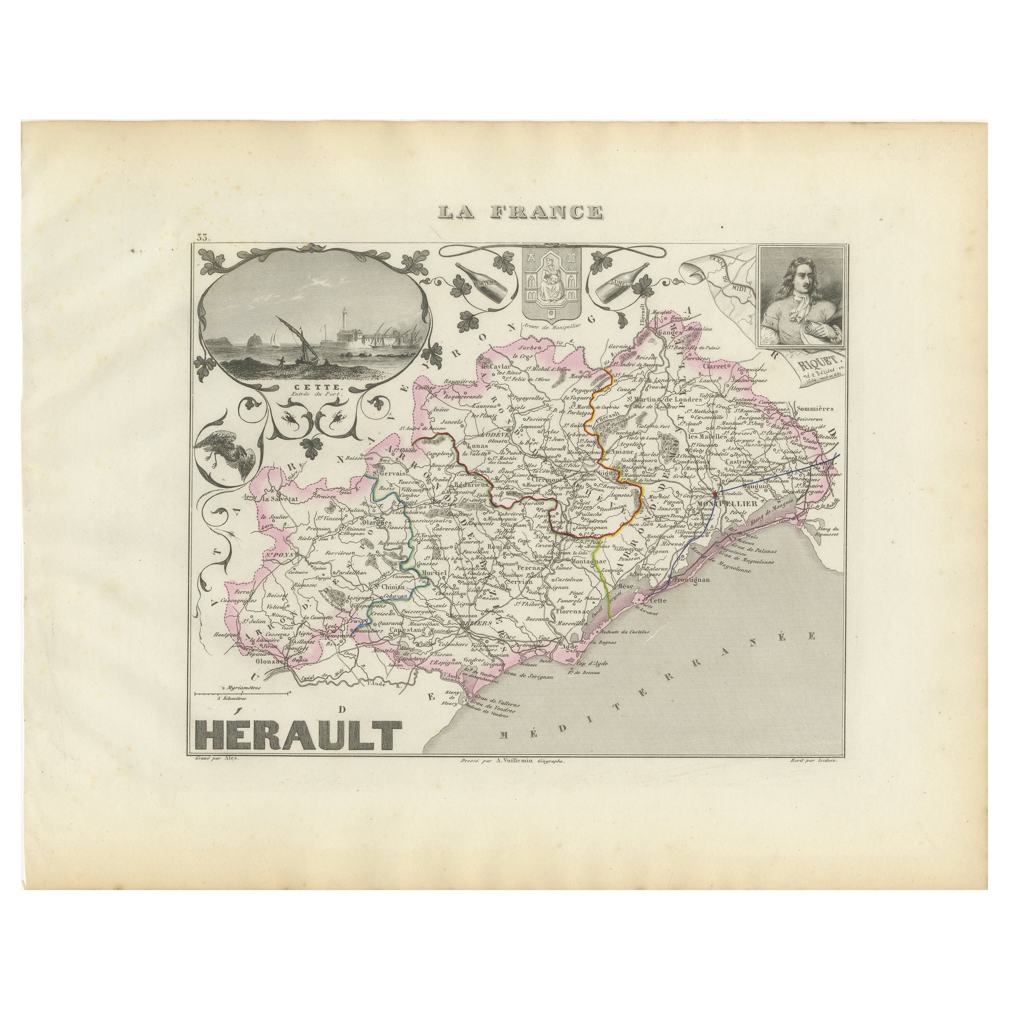
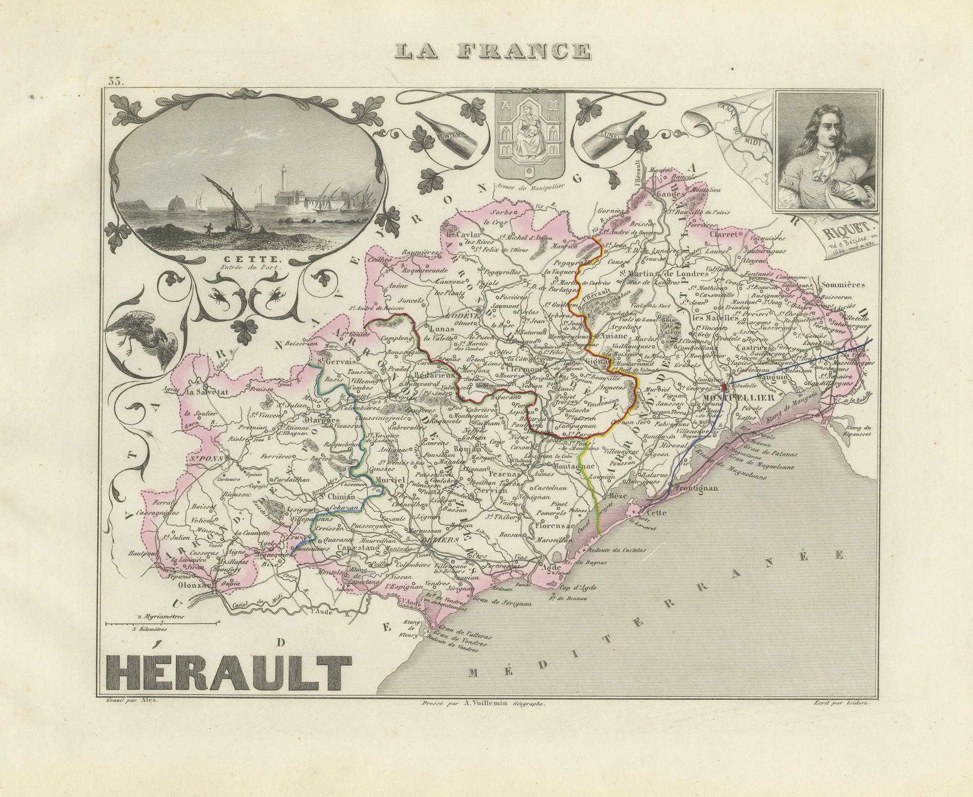
Antique Map of Hérault, France by Vuillemin, 19th Century
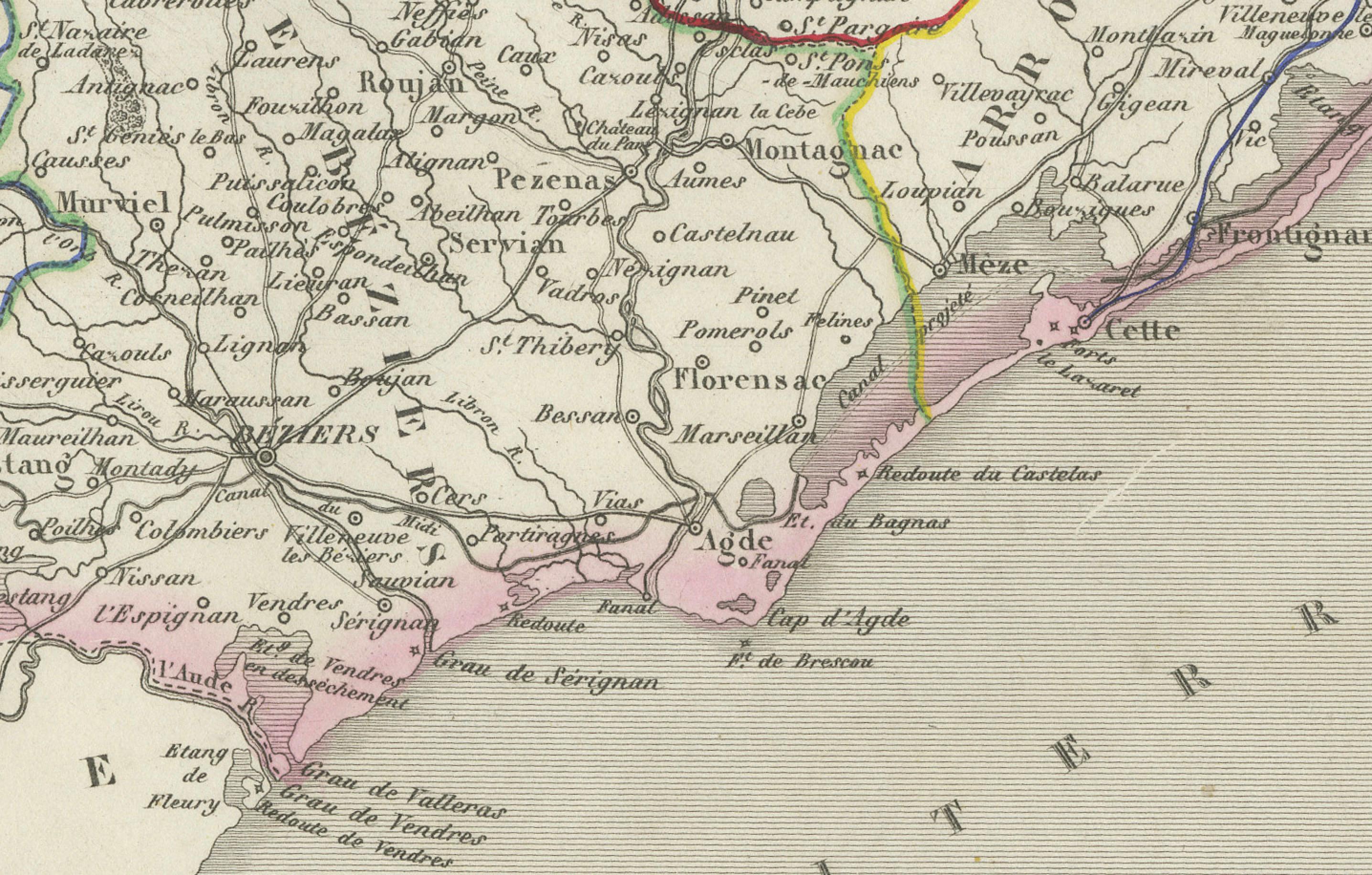
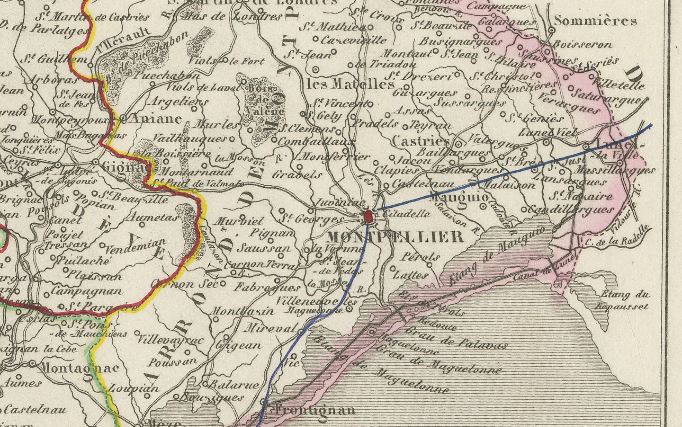
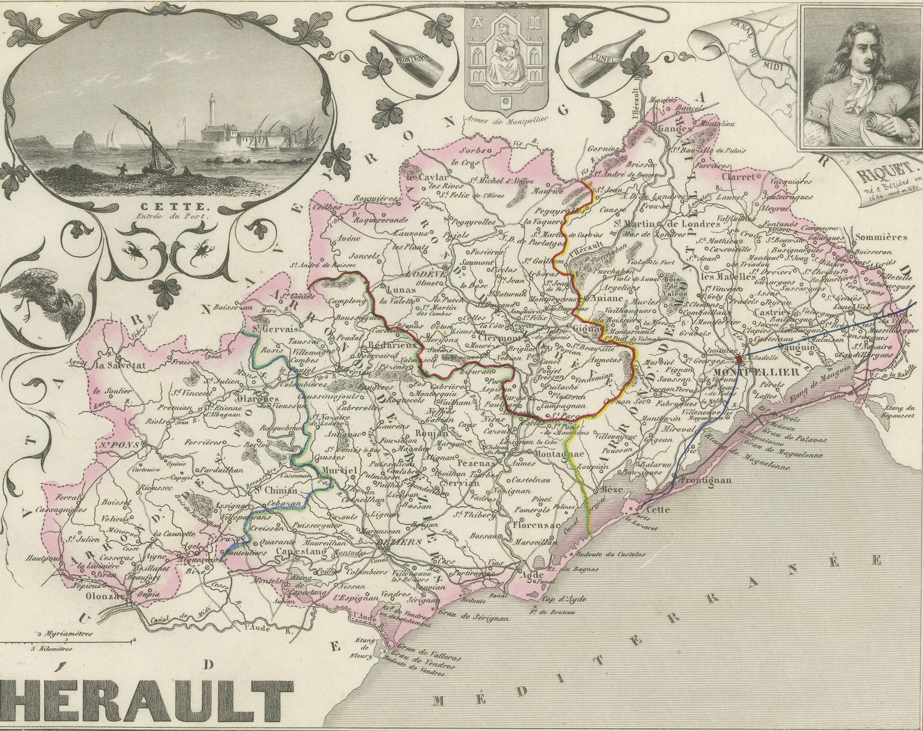
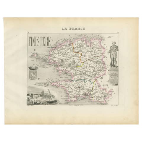
This finely detailed antique map depicts the French département of Hérault, part of the Languedoc region in southern France, with the Mediterranean Sea forming its southeastern boundary. Published in the mid-19th century, the map originates from Alexandre Vuillemin’s richly illustrated atlas of the departments of France.
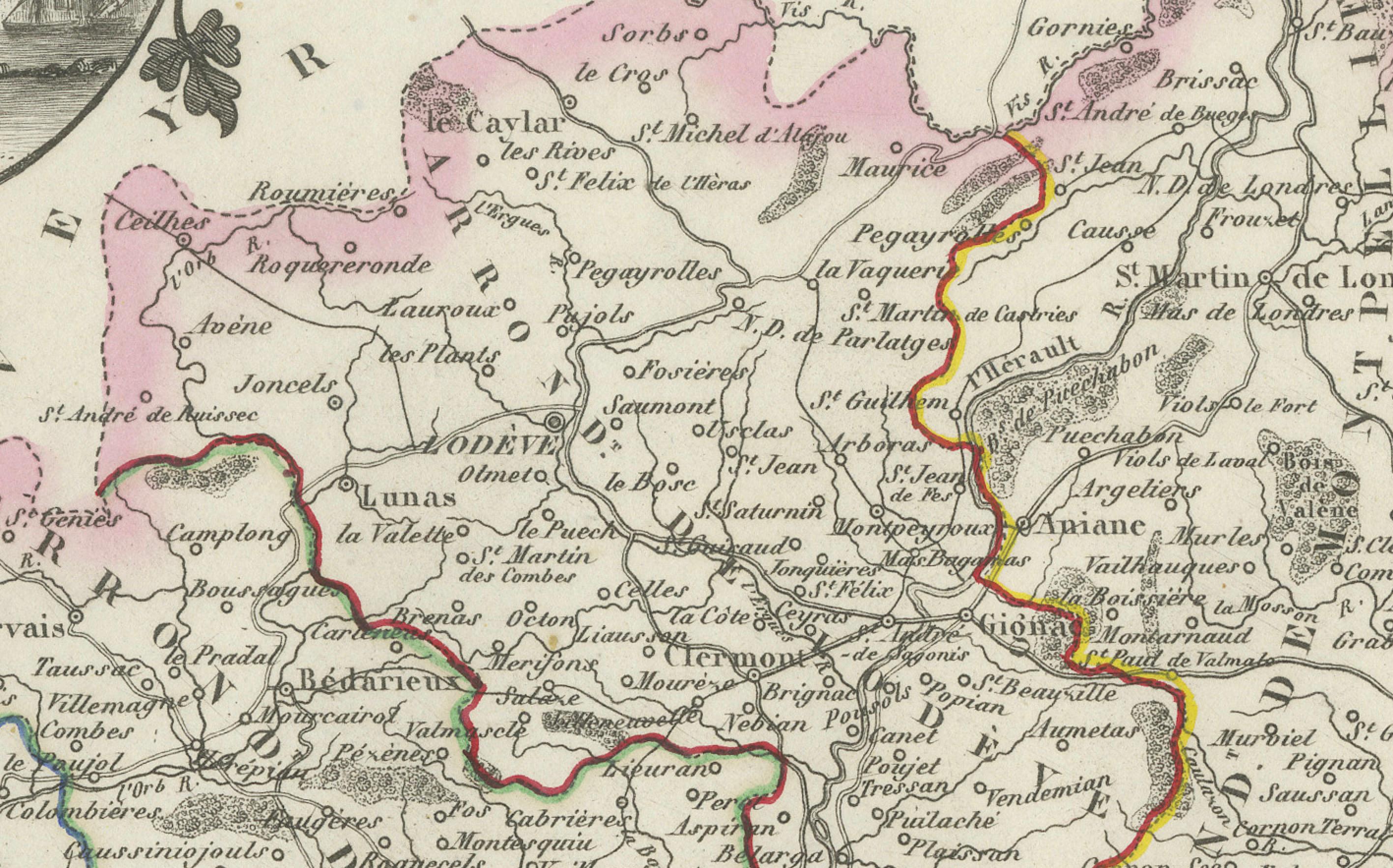
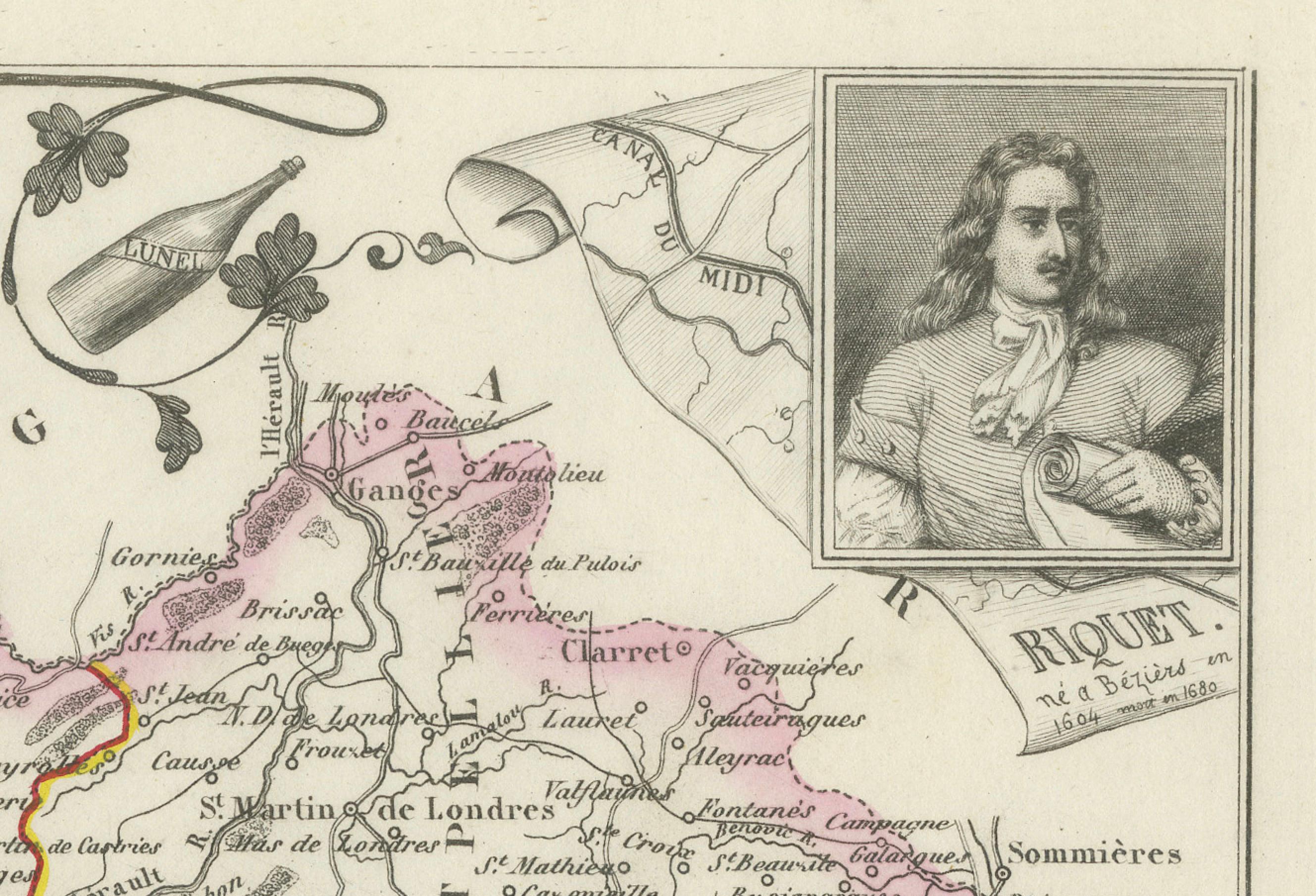
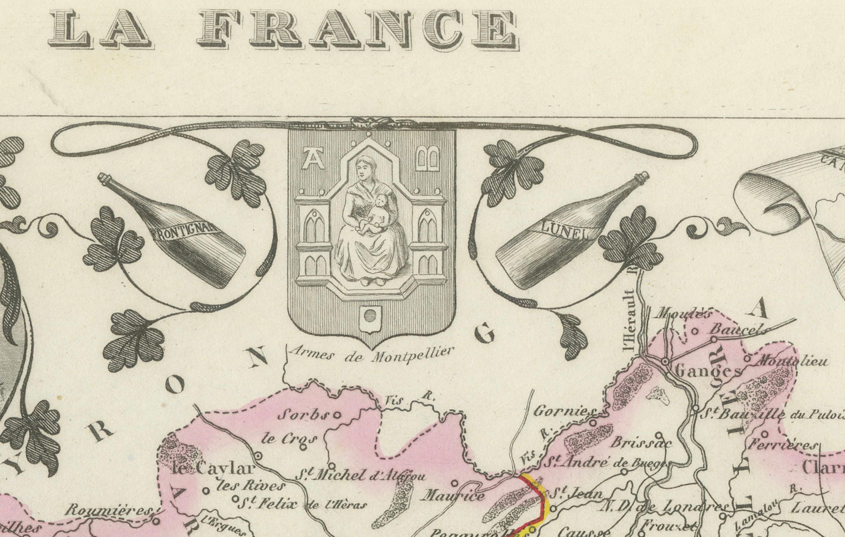
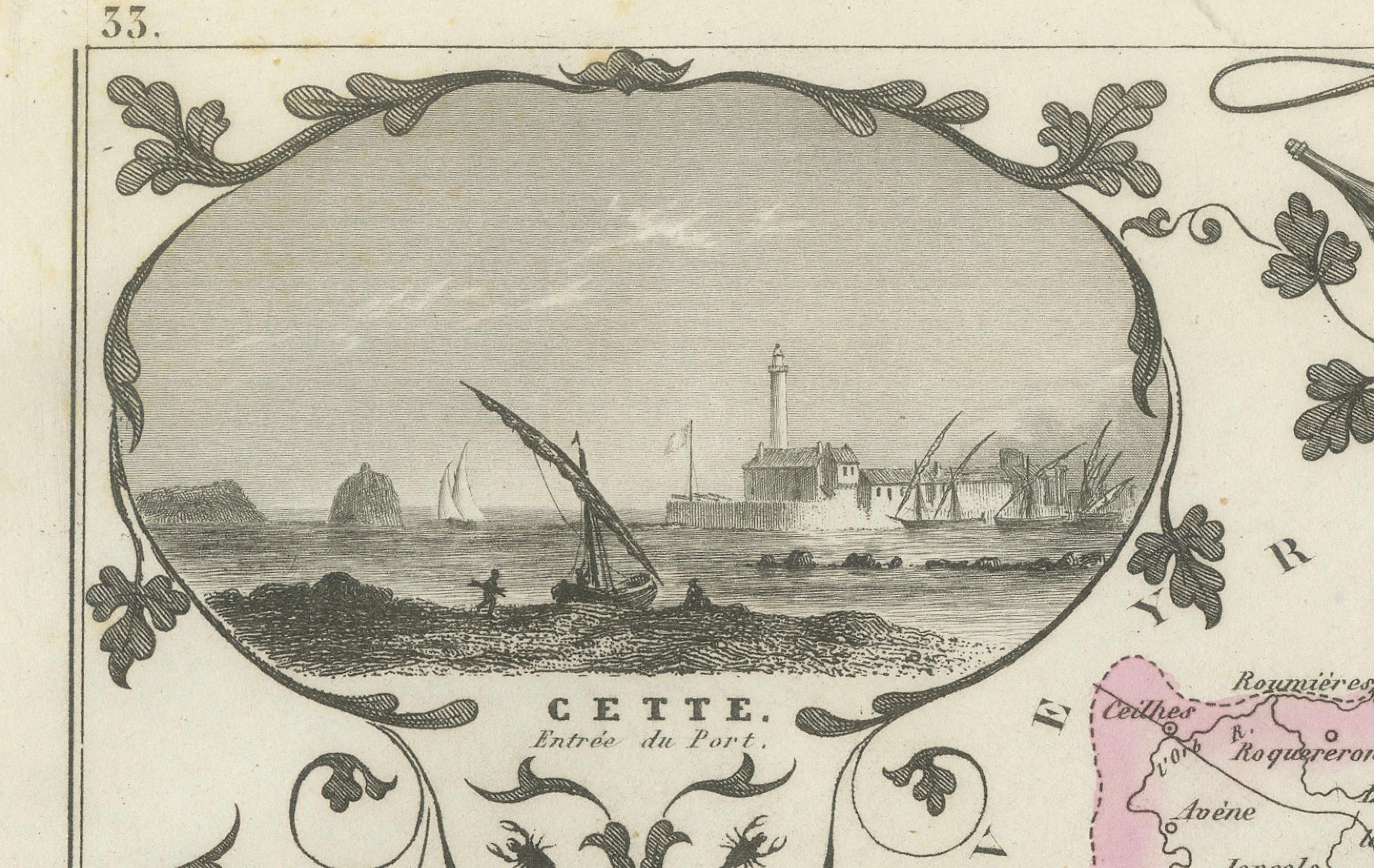
The map shows the département’s towns, villages, rivers, and road networks, with boundaries highlighted in original hand-coloring. To the left, an inset vignette presents a view of *Cette* (modern-day Sète), a bustling Mediterranean port. At the upper right, a portrait of the celebrated French dramatist Molière recalls his ties to the region. The départemental coat of arms appears above the map, adding decorative and heraldic interest.
Hérault is historically known for its viticulture, Mediterranean trade, and cultural heritage. Montpellier, the département’s capital, has long been a center of learning, while the coastal towns like Sète provided vital access to Mediterranean commerce.
Cartographer Alexandre Vuillemin (1812–1880) was a prominent 19th-century French geographer and publisher, celebrated for his clear yet decorative maps that combined geographic precision with artistic embellishments. His atlases of France remain highly regarded among collectors of regional cartography.
Condition report: Very good condition with original outline hand-coloring. Light age toning and faint spotting in the margins, typical of 19th-century paper. Strong impression and clean image.
Framing tips: Best displayed in a classic dark wood or ebonized frame with a cream or ivory mat. A thin colored liner in wine red or muted green would complement the hand-color accents.
Technique: Engraving with original hand color
Maker: Alexandre Vuillemin, France, mid-19th century