About this sheet
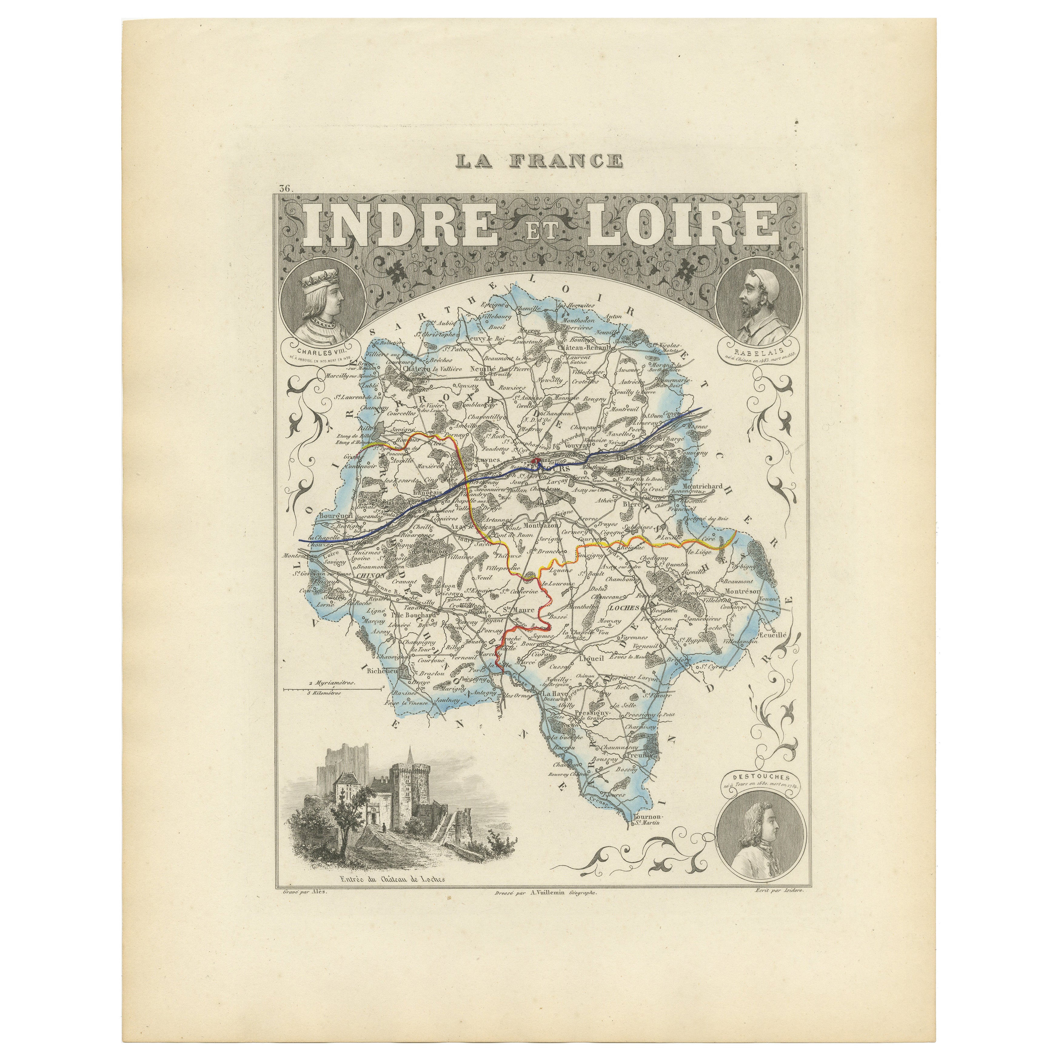
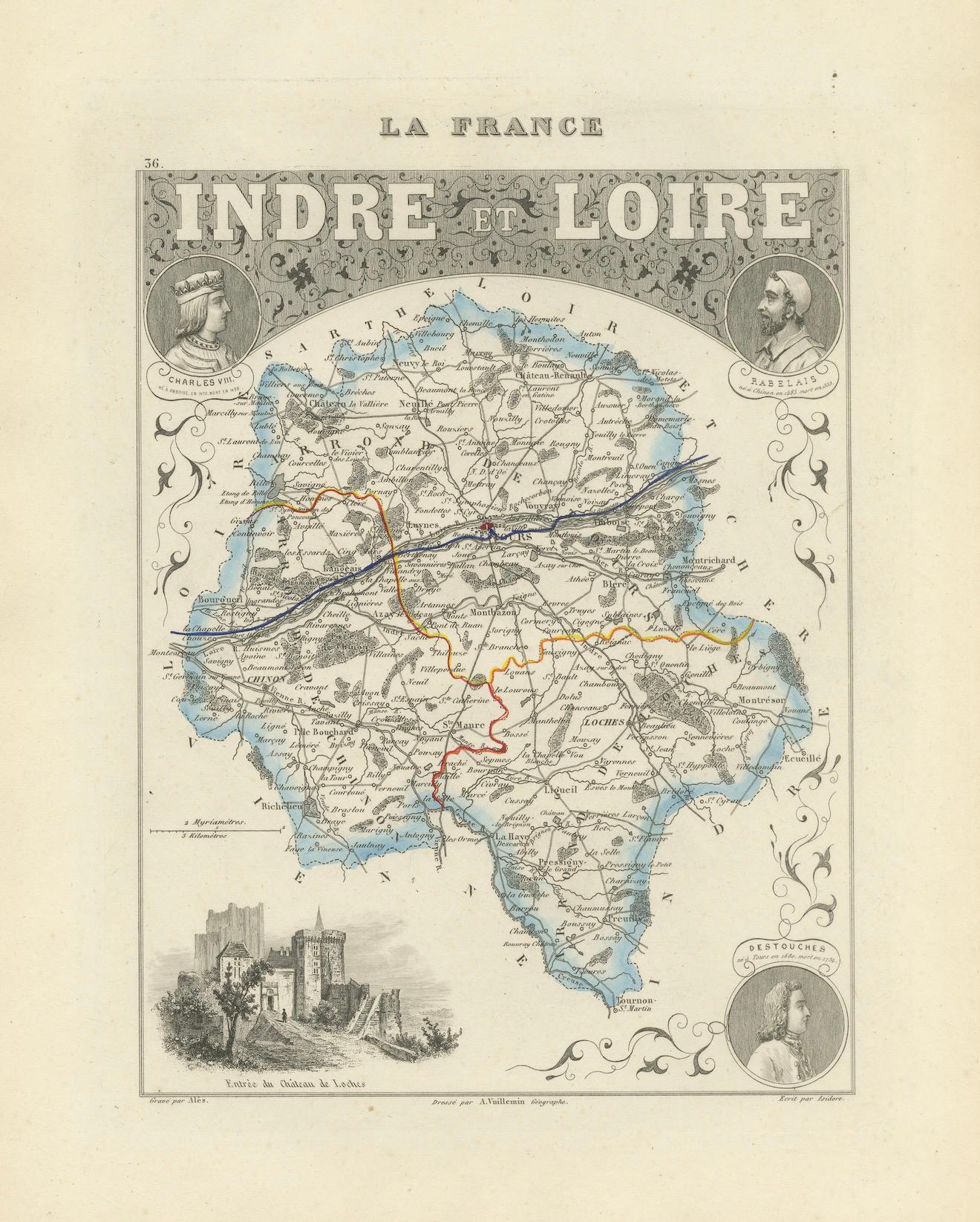
Antique Map of Indre-et-Loire, France by Vuillemin, 19th Century
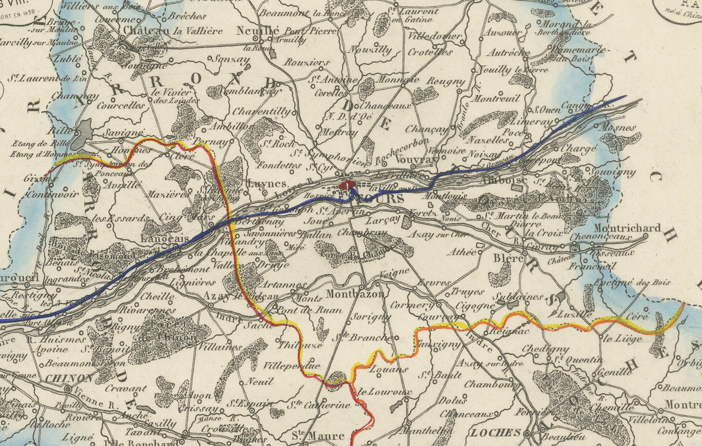
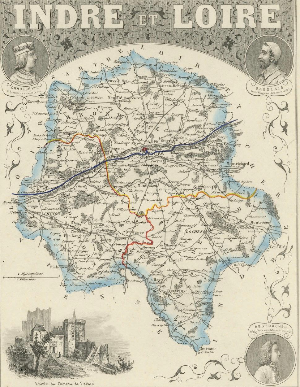
This beautifully engraved map illustrates the département of Indre-et-Loire, located in the Centre-Val de Loire region of France. Produced in the mid-19th century by Alexandre Vuillemin, it comes from his celebrated atlas of the French départements, notable for combining precise cartography with decorative embellishments.
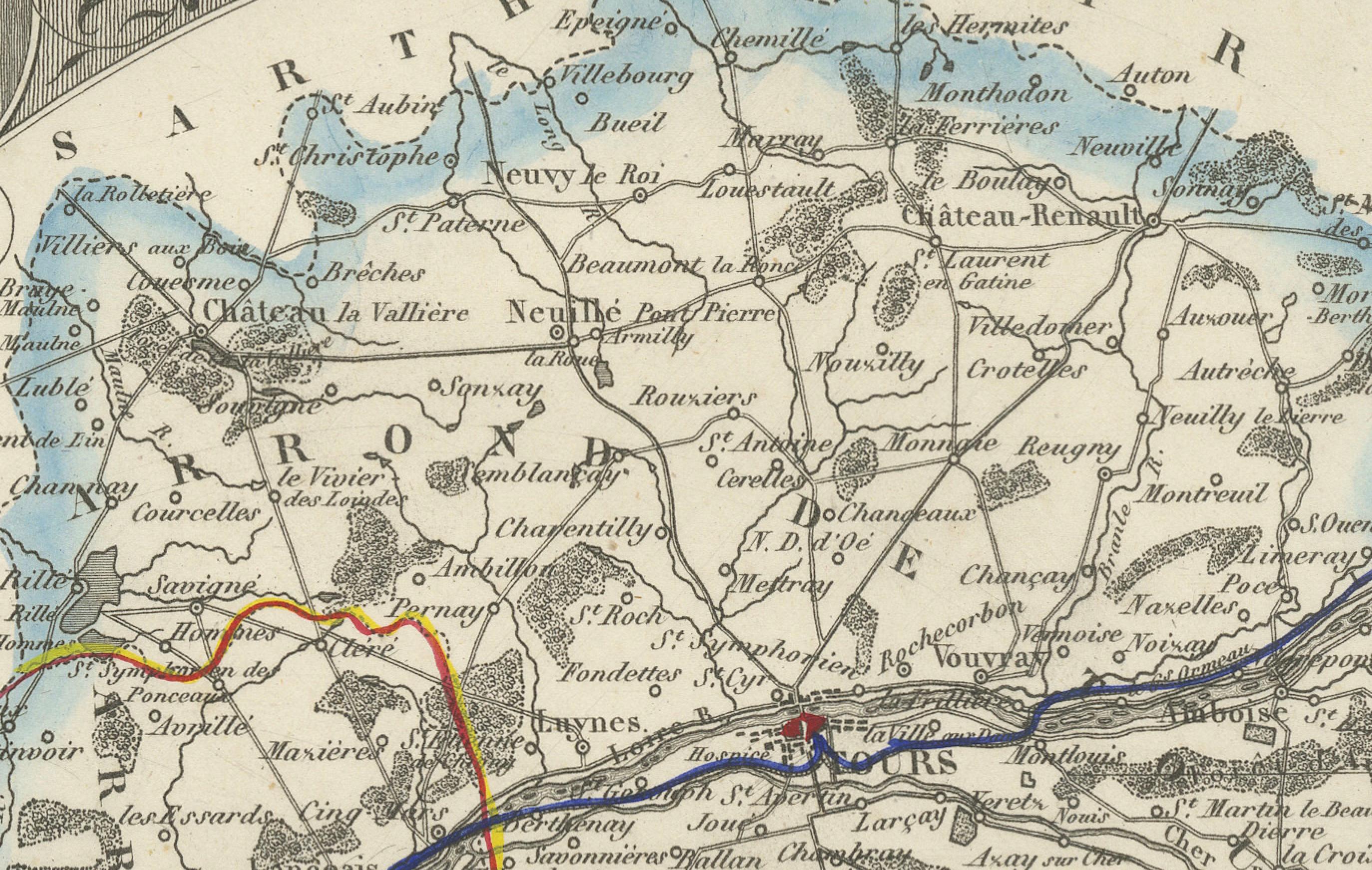
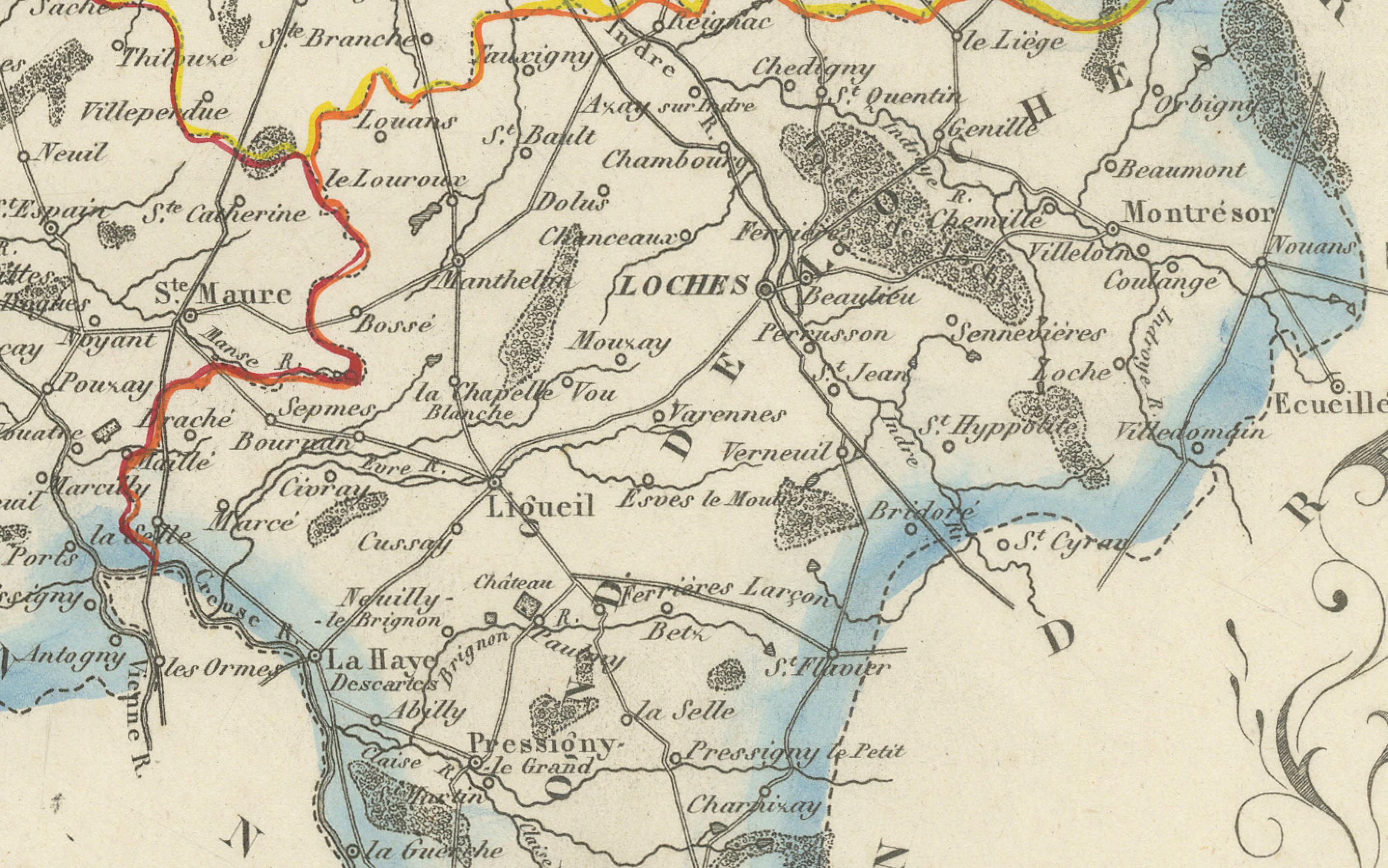
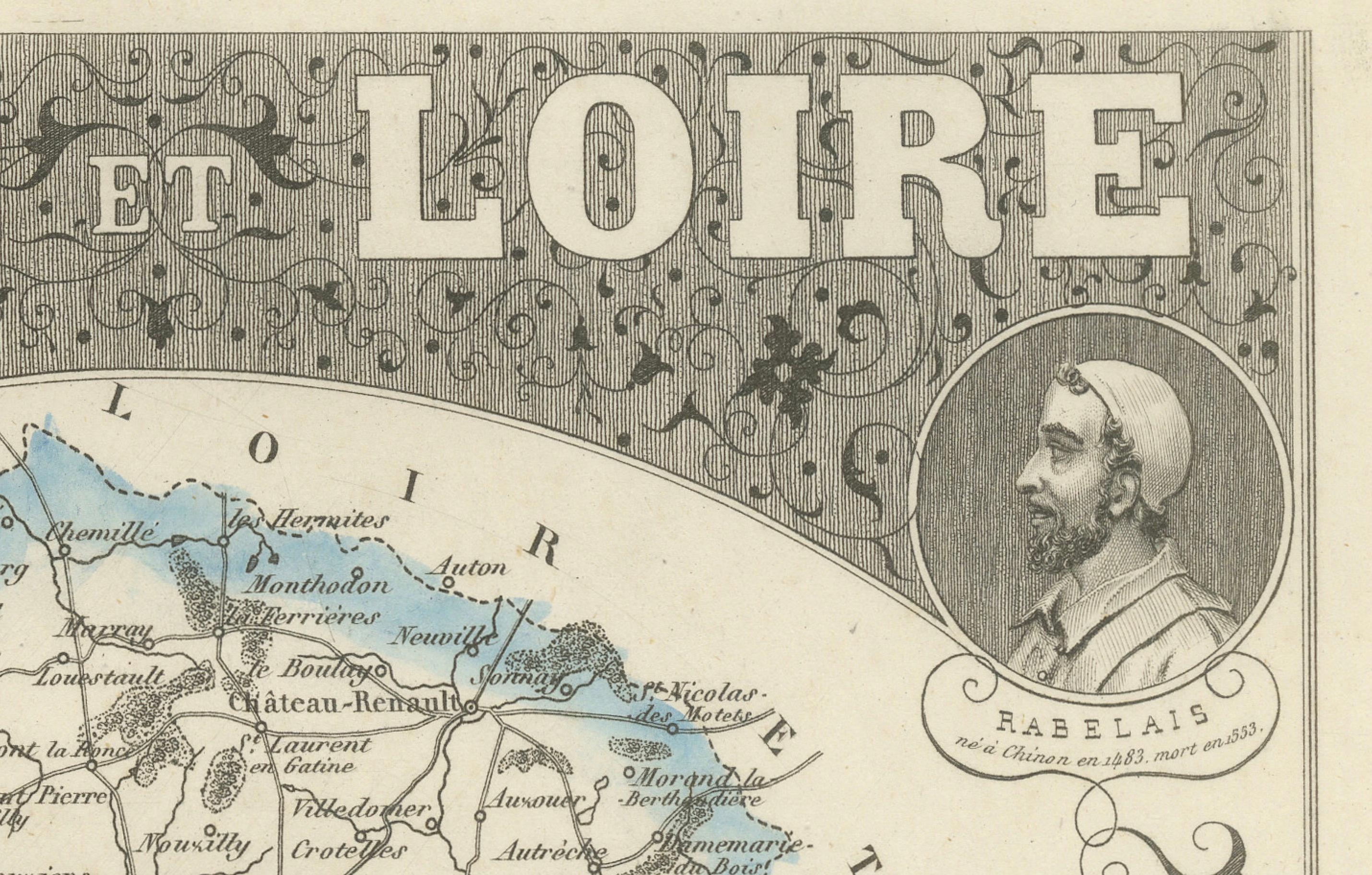
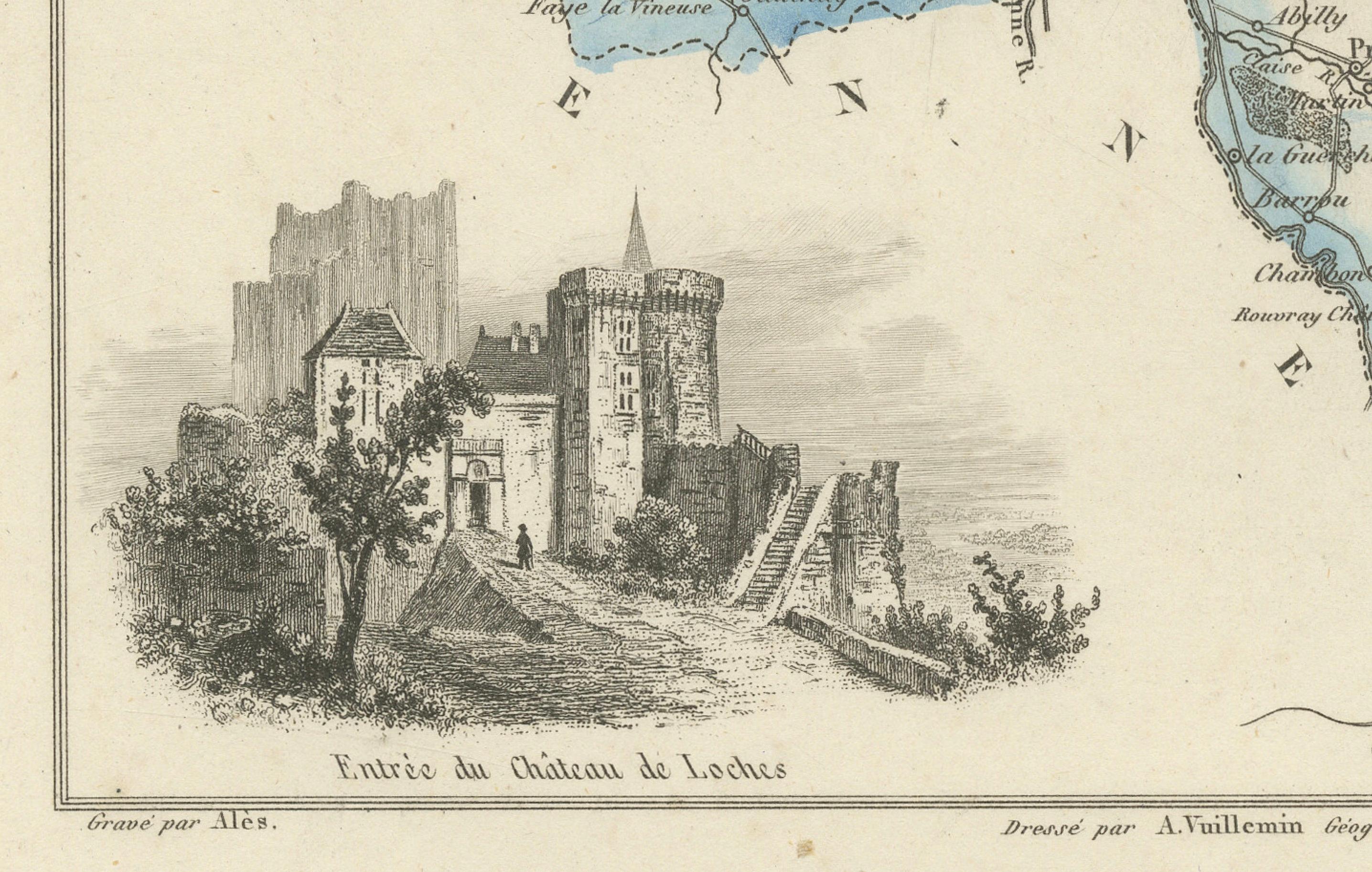
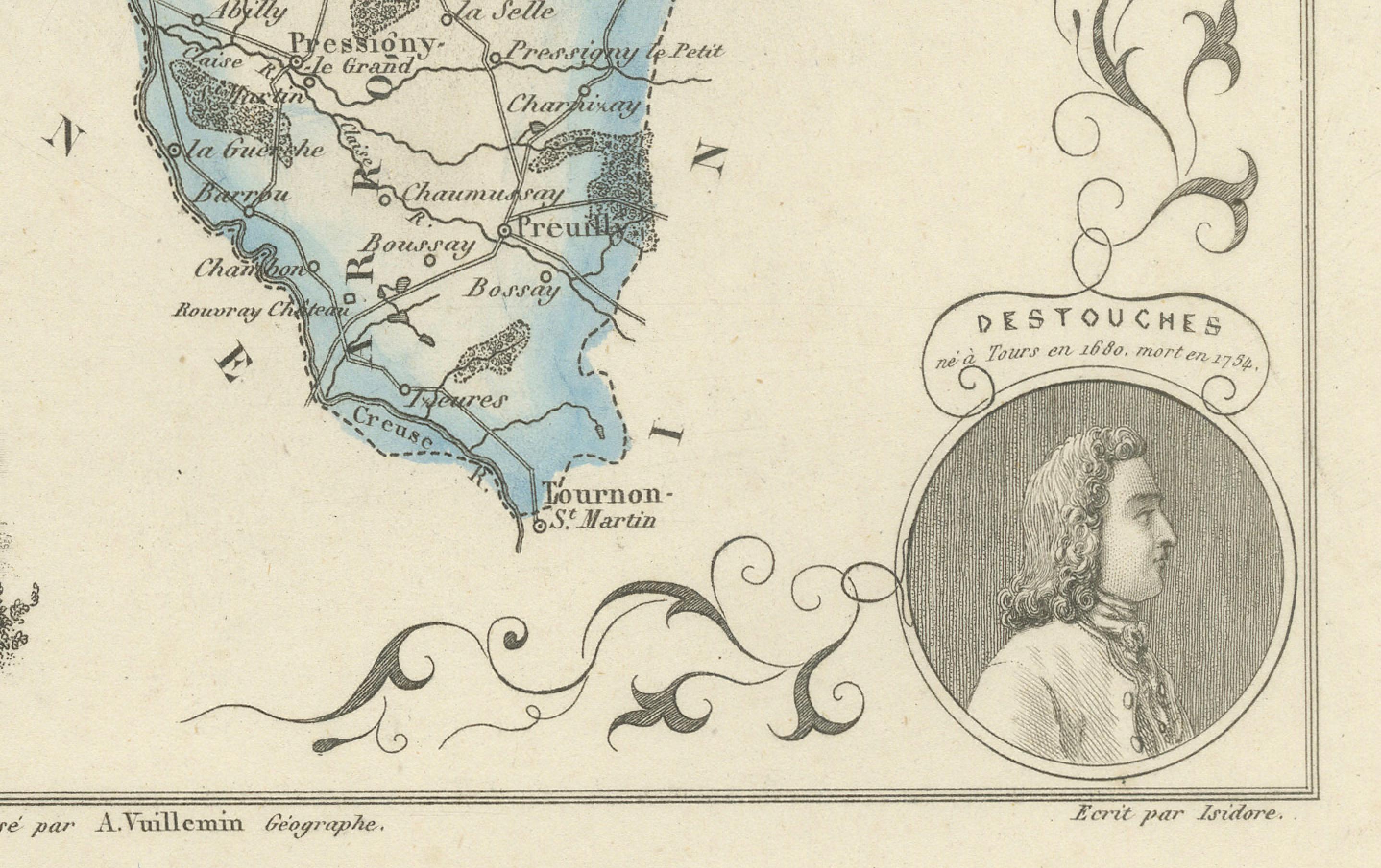
The map shows the towns, rivers, and major roads of the département, with departmental borders outlined in original hand color. Surrounding the map are finely engraved portraits and vignettes that celebrate the region’s historical and cultural heritage. Portraits include Charles VII, the French king, and the celebrated Renaissance writer François Rabelais. At the bottom right is a portrait of Destouches, the French dramatist. A vignette at lower left shows the evocative ruins of the Château de Loches, a medieval fortress of great historical importance.
Indre-et-Loire is the heart of the Loire Valley, renowned for its châteaux, vineyards, and as a cradle of French history and literature. By pairing geographical detail with decorative elements, Vuillemin’s map serves as both a reference tool and a celebration of regional identity.
Alexandre Vuillemin (1812–1880), a noted French cartographer, produced many atlases and maps distinguished by their clarity and artistic framing. His atlas of France’s départements remains a valuable resource for collectors and historians alike.
Condition report: Excellent condition with crisp impression and well-preserved hand coloring. Very light toning and occasional minor foxing in the margins, not affecting the image.
Framing tips: Best displayed in a dark walnut or ebonized frame with a wide cream or ivory mat to highlight the vignette details. A subtle gold fillet could enhance the map’s decorative character.
Technique: Engraving with original hand color
Maker: Alexandre Vuillemin, France, mid-19th century