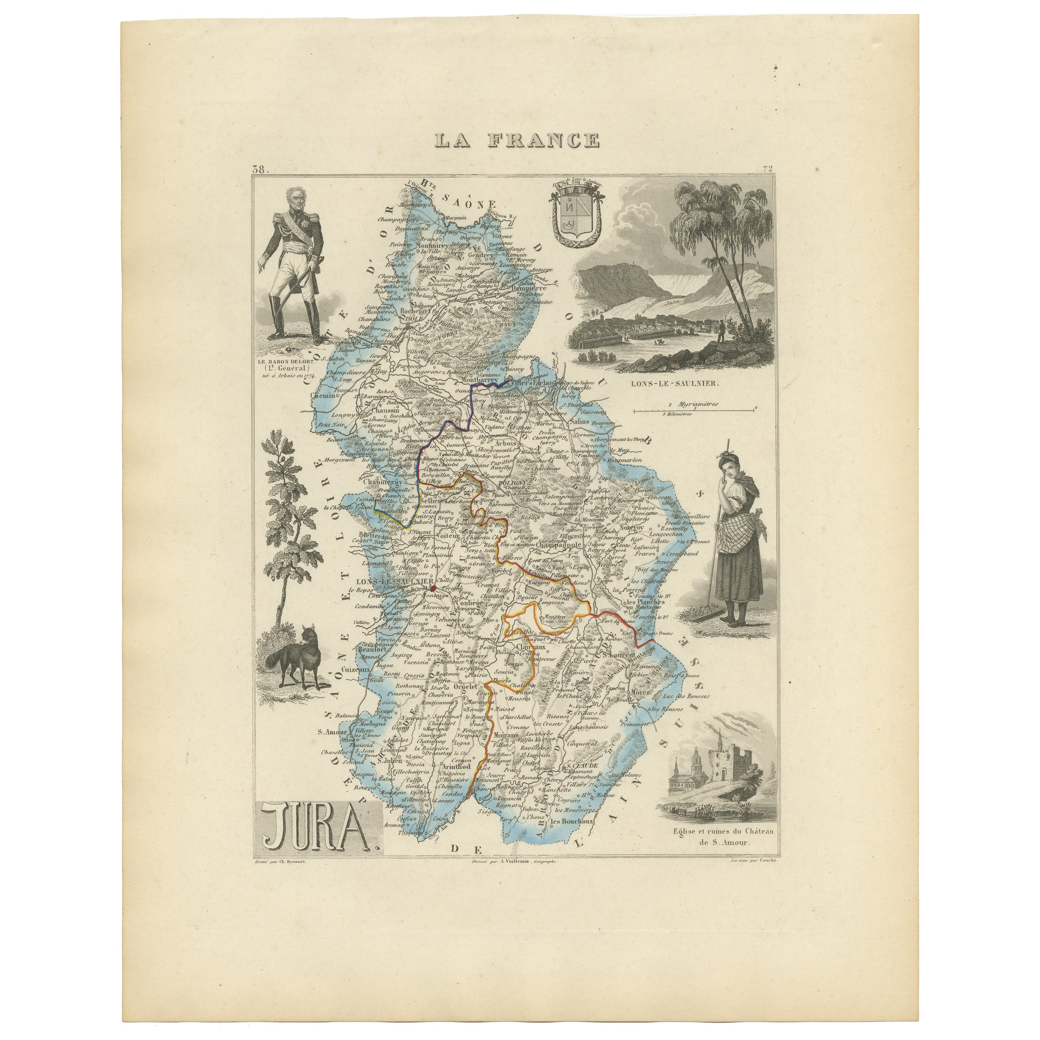
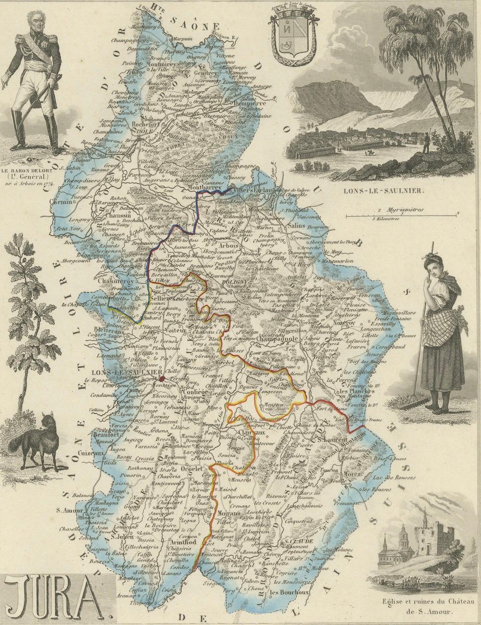
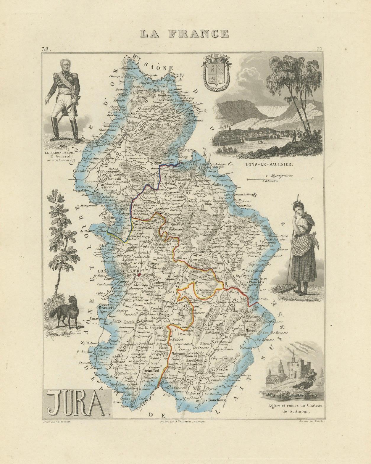
Antique French Map of Jura Region with Lons-le-Saunier, Dole, 1800s
€ 140
One of a kind: this is the sheet in the photographs. Ships from Langweer, the Netherlands.
Sheet size
32.5 × 26.1 cm (12.8 × 10.3 in)
Condition
Good
Reference
BG-13331-38
Condition
Condition report: Very good condition with strong plate impression and vivid original color. Light toning and minor spotting in the margins, well away from the printed area.
About this sheet
Antique Map of Jura, France by Vuillemin, 19th Century
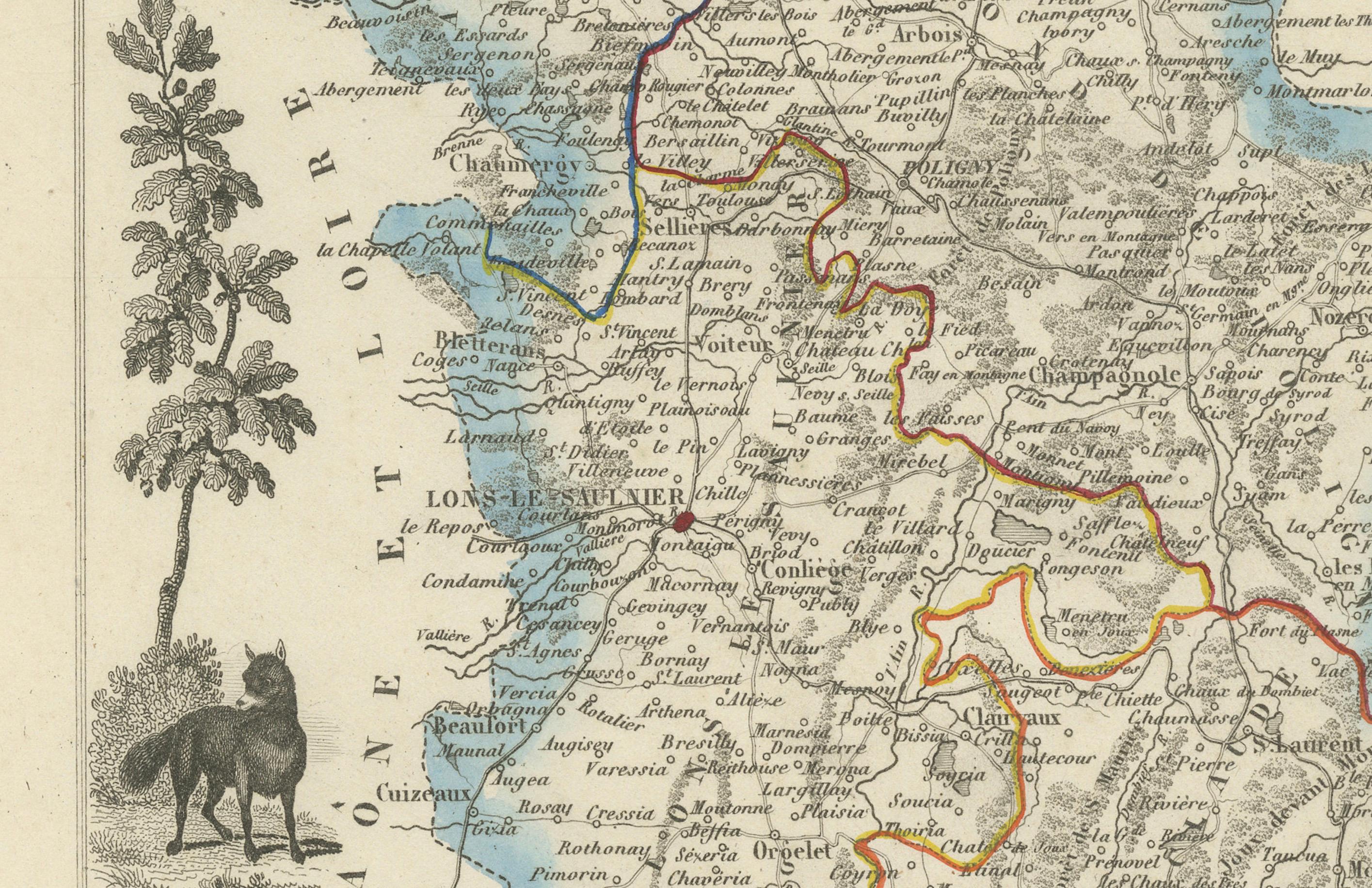
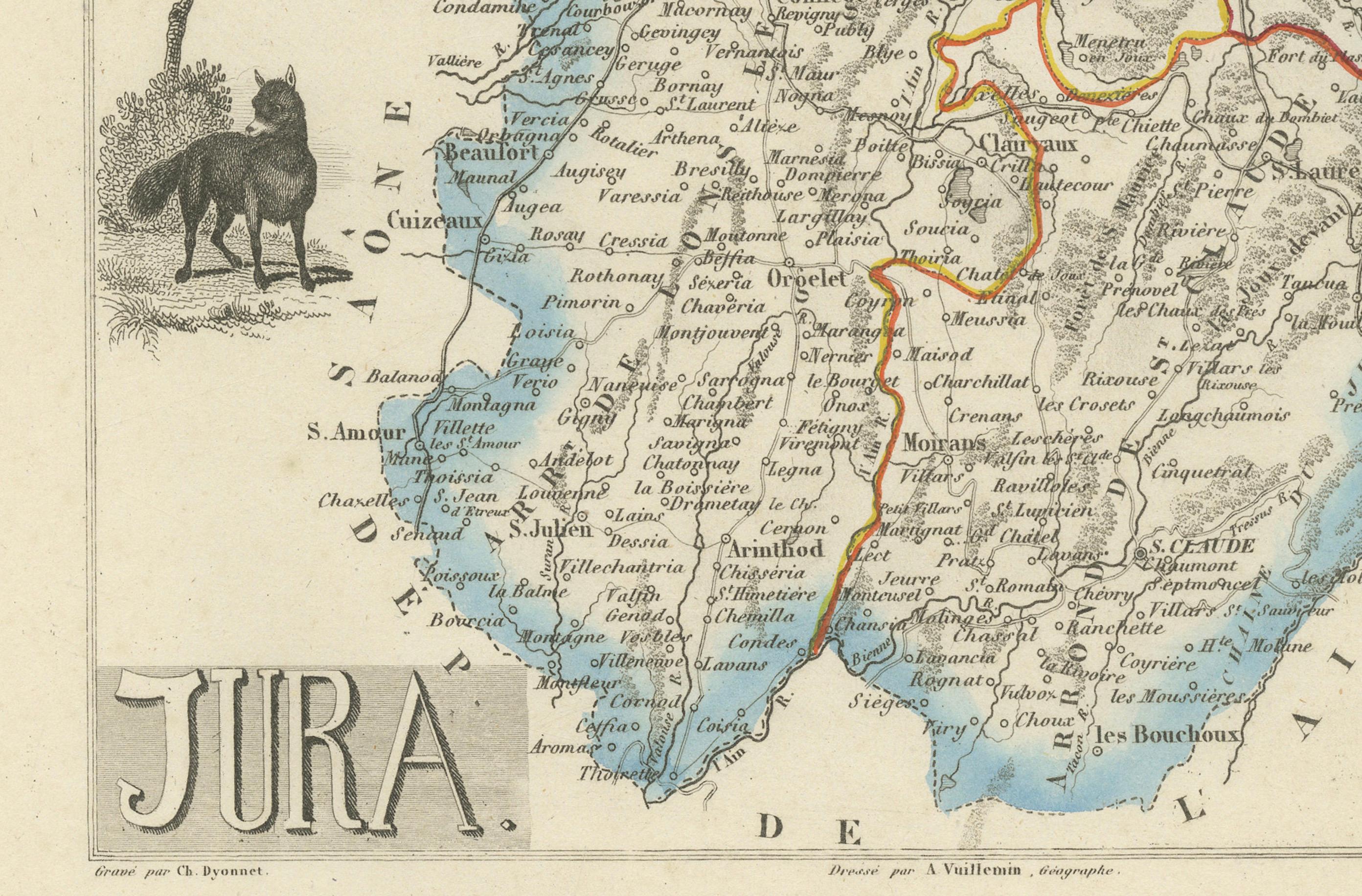
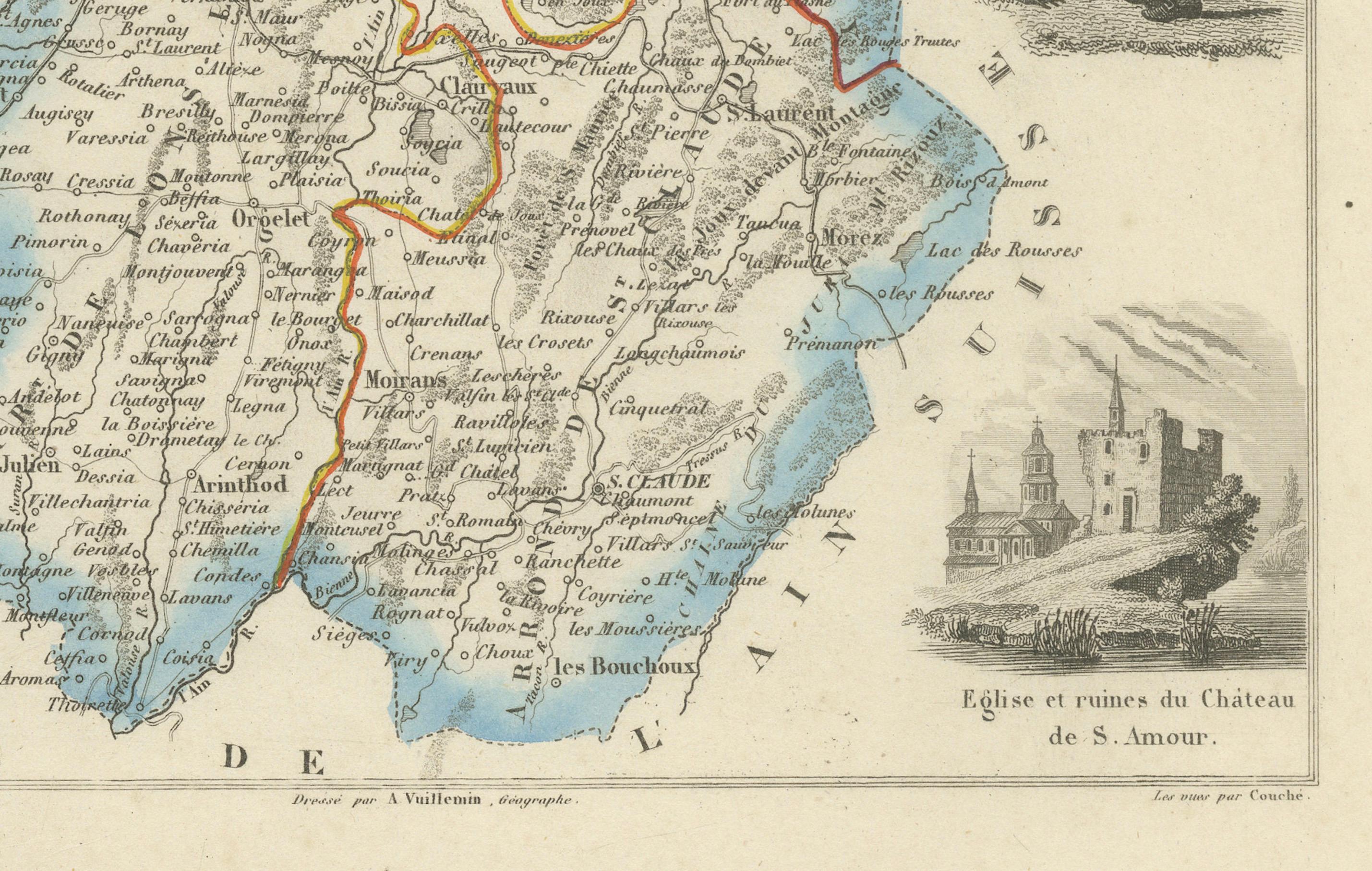
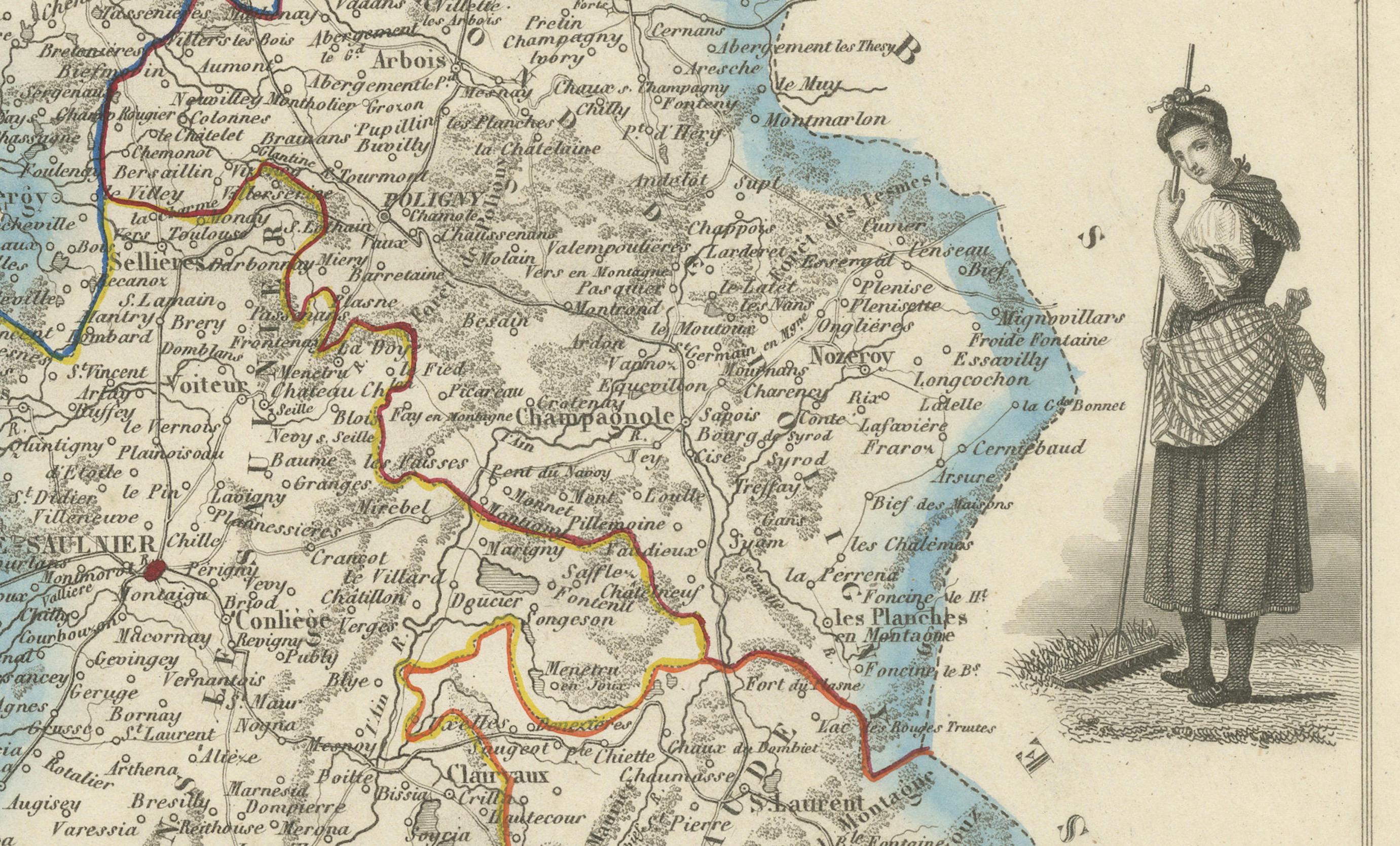
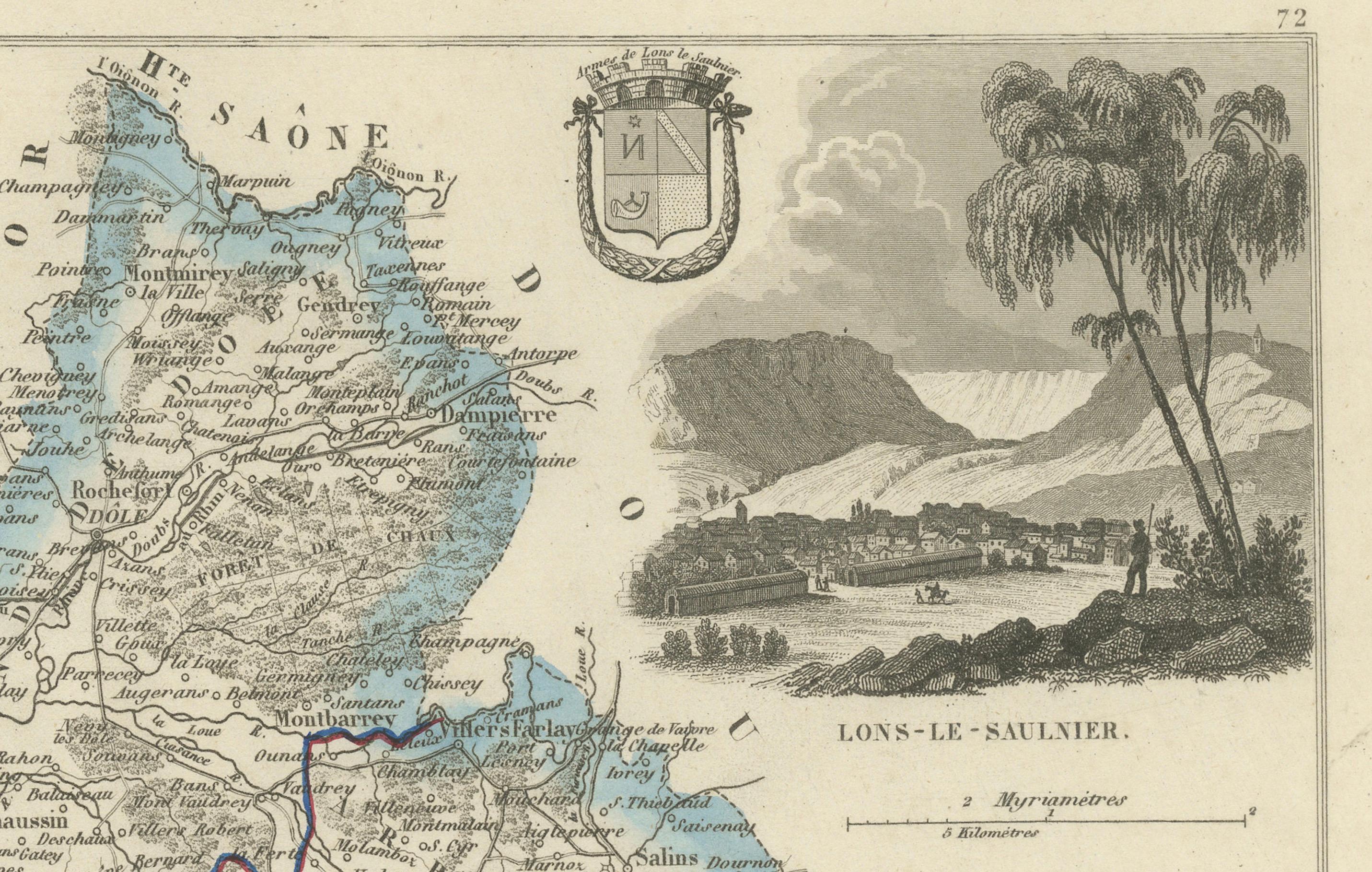
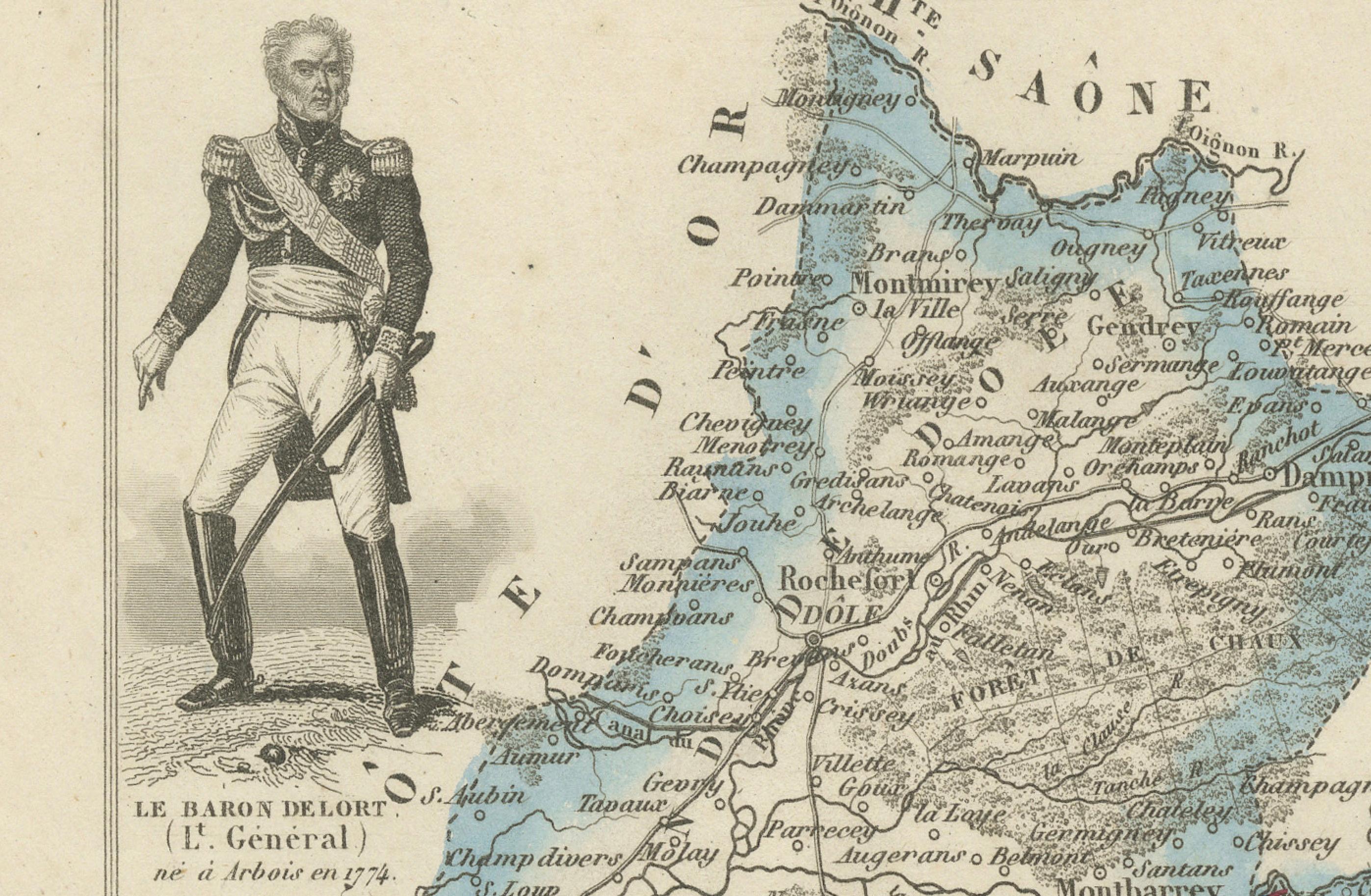
This decorative 19th-century engraved map shows the département of Jura in eastern France, produced by Alexandre Vuillemin. The map outlines towns, rivers, and key routes, with borders enhanced in original hand color.
The composition is framed with finely engraved vignettes highlighting the culture and identity of the region. At the top left is a portrait of General Baron Hulot, a distinguished military figure born in the area. To the right is a vignette of Lons-le-Saunier, the département’s capital, depicted with surrounding landscapes. A traditional Jura woman in regional costume and a wolf (symbolic of the region’s fauna) also decorate the plate. At the bottom right, ruins of the Château de St-Amour are engraved in detail. The departmental coat of arms crowns the map.
Jura, part of the historical Franche-Comté, is renowned for its rolling vineyards, watchmaking traditions, and mountain scenery bordering Switzerland. The decorative cartouche elements reflect its cultural richness and historic significance.
Alexandre Vuillemin (1812–1880) was a noted French cartographer and engraver. His works, especially the atlas of French départements, are valued for combining geographic precision with artistic embellishment, making them both informative and highly decorative.
Condition report: Very good condition with strong plate impression and vivid original color. Light toning and minor spotting in the margins, well away from the printed area.
Framing tips: Best displayed in a walnut or dark wood frame with cream or light ivory matting to accentuate the vignette engravings. A thin gilt border would emphasize the map’s decorative details.
Technique: Engraving with original hand color Maker: Alexandre Vuillemin, France, mid-19th century