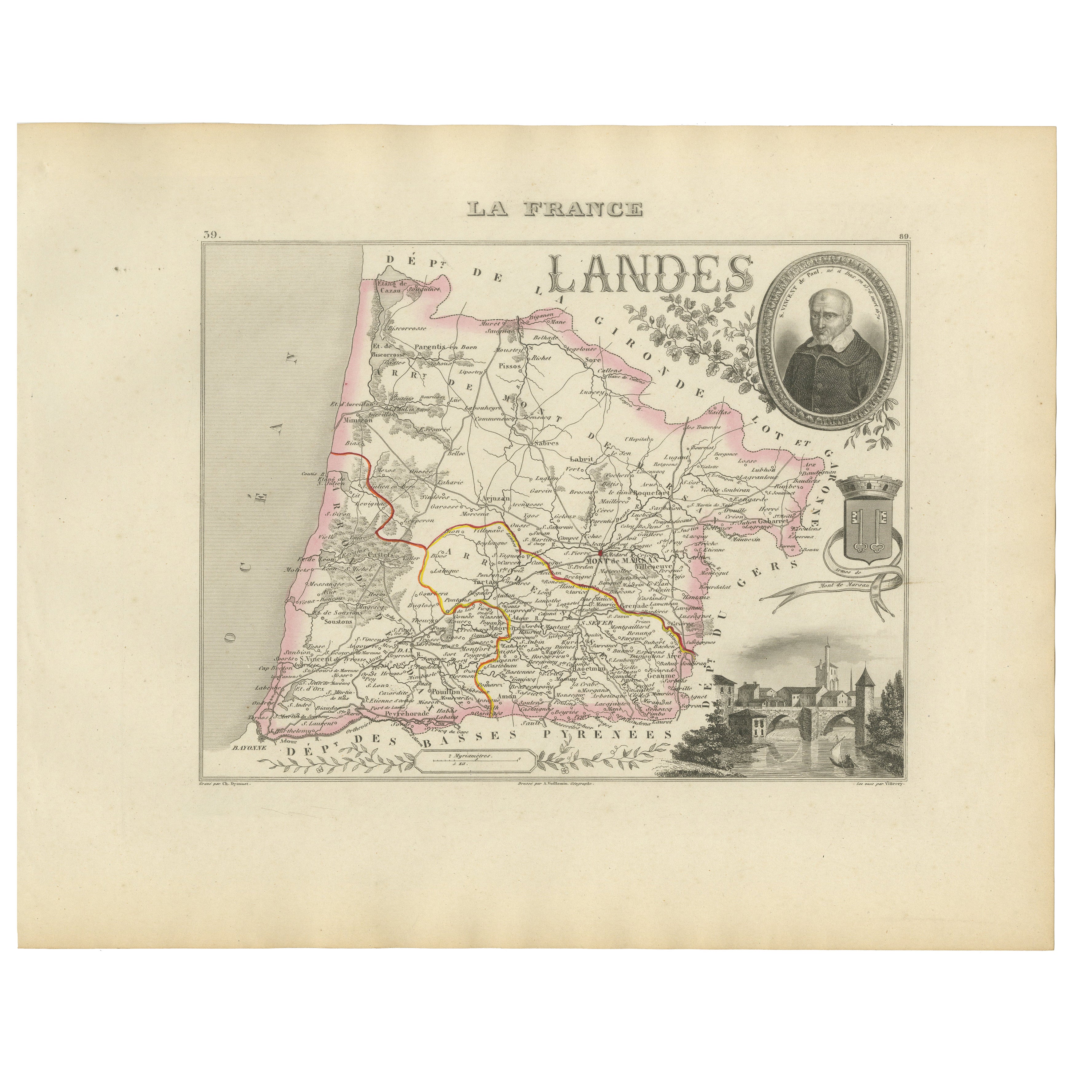
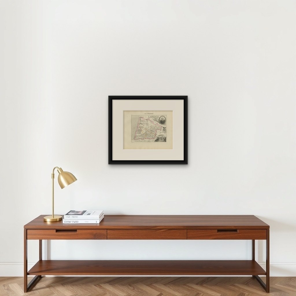
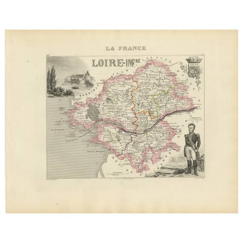
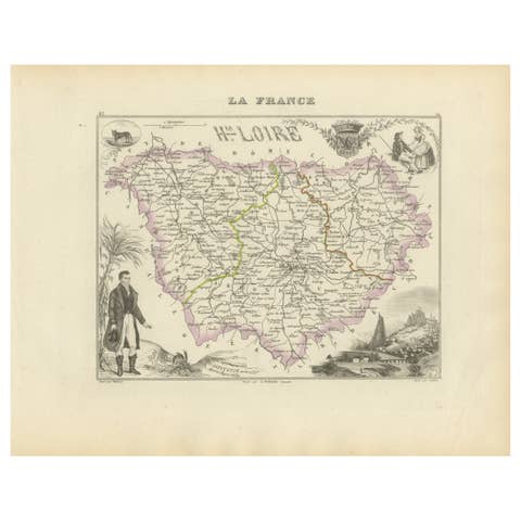
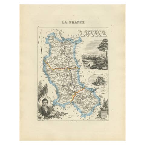
Antique French Map of Landes Region with Mont-de-Marsan, Dax, Bayonne, 1800s
€ 140
Original antique · The actual sheet photographed · Certificate of authenticity on request · Sold unframed · Worldwide shipping from € 15 (rates)
Mapmaker / artist
Alexandre Vuillemin, France, mid-19th century
Technique
Engraving with original hand color
Sheet size
26.1 × 32.5 cm (10.3 × 12.8 in)
Condition
Good
Reference
BG-13331-39
What the condition grades mean
Excellent
Bright and clean, with no faults worth mentioning.
Very good
Only light signs of age, such as faint toning.
Good
Normal signs of age for a sheet of this period: toning, some foxing, small marks or neat old repairs.
Fair
Clear faults such as staining, tears or repairs, priced to match.
Every fault we see is written in the condition note, and the whole sheet is shown uncropped in the photos.
Condition
Condition report: Very good condition with a strong, clean impression and bright hand-coloring. Minor marginal toning and light foxing at the sheet edges, not affecting the printed area.
About this sheet
Antique Map of Landes, France by Vuillemin, 19th Century
This fine 19th-century engraved map depicts the département of Landes in southwestern France, engraved by Alexandre Vuillemin. The map shows towns, rivers, and main roads, with departmental boundaries highlighted in original hand color.
The decorative framework includes an oval portrait of Théophile de Bordeu (1722–1776), the physician and philosopher born in Mont-de-Marsan, a coat of arms, and a vignette view of Mont-de-Marsan, the departmental capital, complete with bridge and church. The embellishments reflect the region’s cultural and historical character.
The Landes, part of the Nouvelle-Aquitaine region, is renowned for its vast pine forests, sandy coastline along the Atlantic, and traditional culture, including gastronomy and folk festivals. The map captures both the geography and the spirit of the département in the Romantic cartographic style of the mid-19th century.
Alexandre Vuillemin (1812–1880) was a prolific French cartographer known for his atlas maps, where geography was paired with decorative artistry. His series of French départements remains highly collectible for its blend of accuracy and ornamentation.
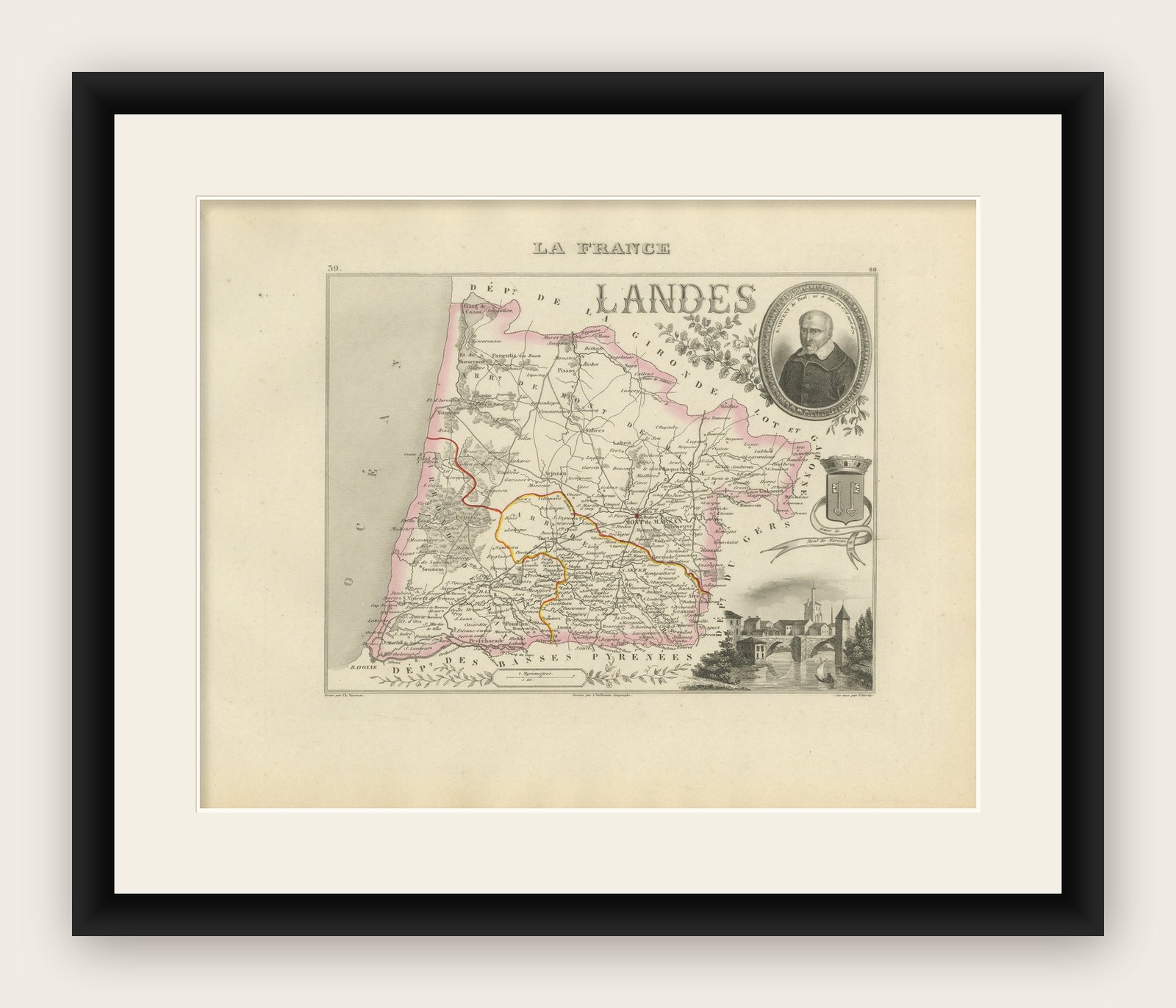
Condition report: Very good condition with a strong, clean impression and bright hand-coloring. Minor marginal toning and light foxing at the sheet edges, not affecting the printed area.
Framing tips: This map would display beautifully in a dark walnut or black frame with ivory matting. Adding a gilt fillet would enhance the fine engraved vignette details and highlight the hand coloring.