About this sheet
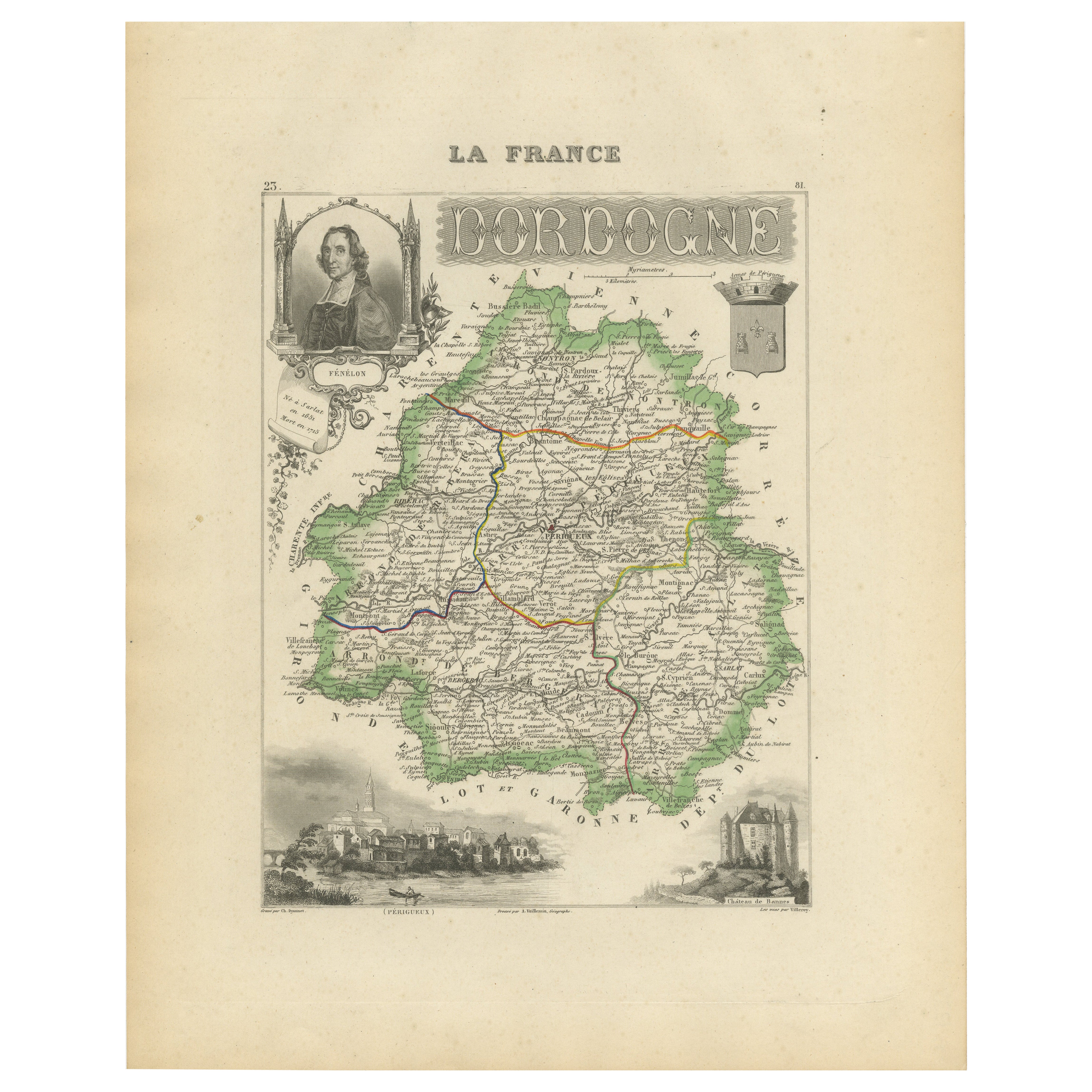
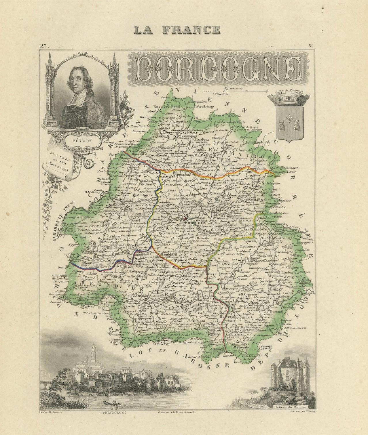
Map of Dordogne France with Périgueux and Château de Jumilhac, 19th Century
This richly detailed 19th-century map of the Dordogne department in southwestern France was drawn by Alexandre Vuillemin and published by Migeon in Paris for the *Nouvel Atlas Illustré*. The map masterfully combines cartographic precision with elegant engravings that highlight the historical and cultural significance of this beloved region of Aquitaine.
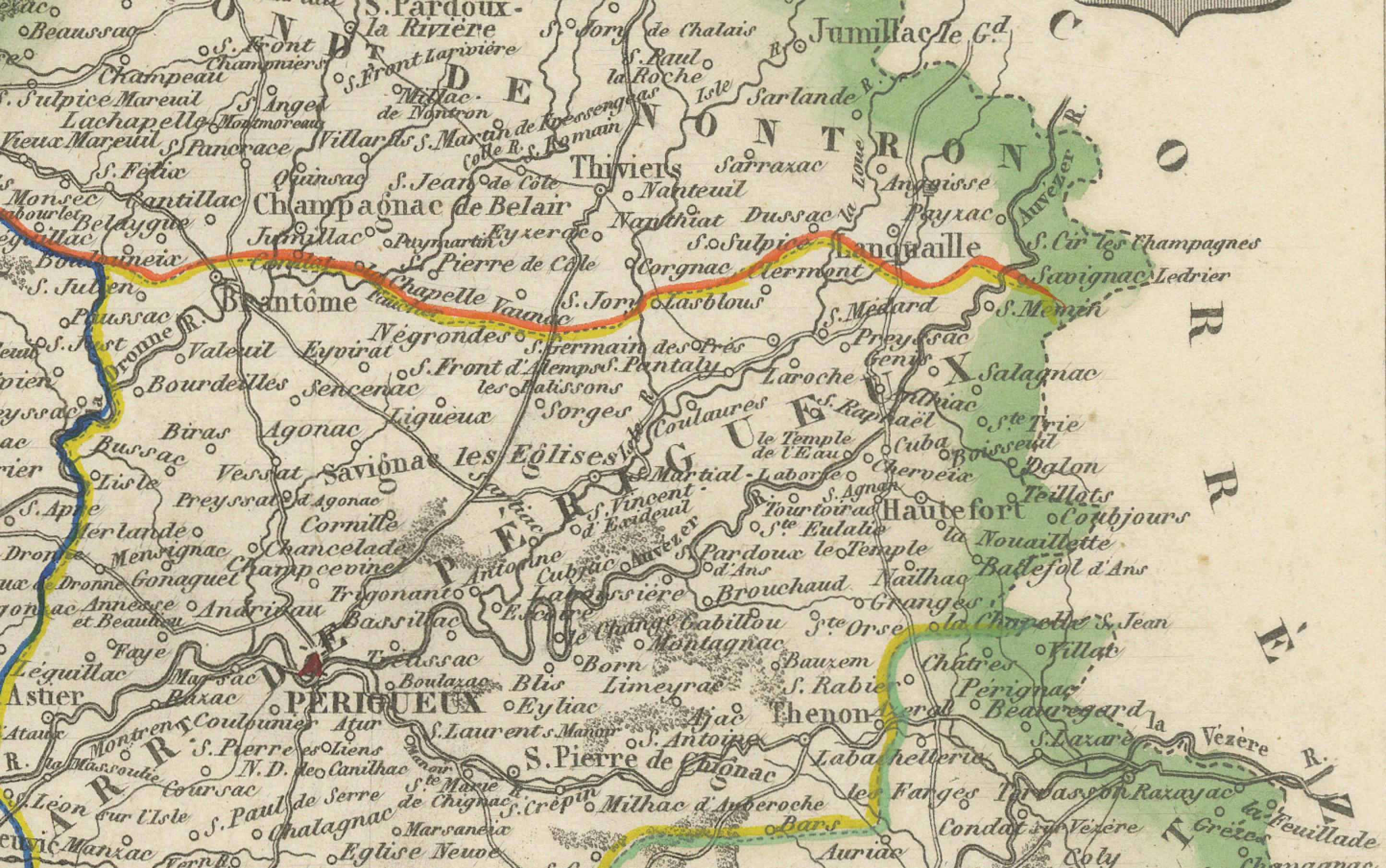
The map outlines Dordogne in soft green hand-coloring, with towns, rivers, and roadways finely engraved. The departmental capital, Périgueux, is centrally located and clearly labeled, along with other important towns such as Bergerac, Sarlat, Nontron, and Ribérac. The rolling hills, intersecting river valleys, and dense forests of the Périgord region are suggested through detailed topographical lines.
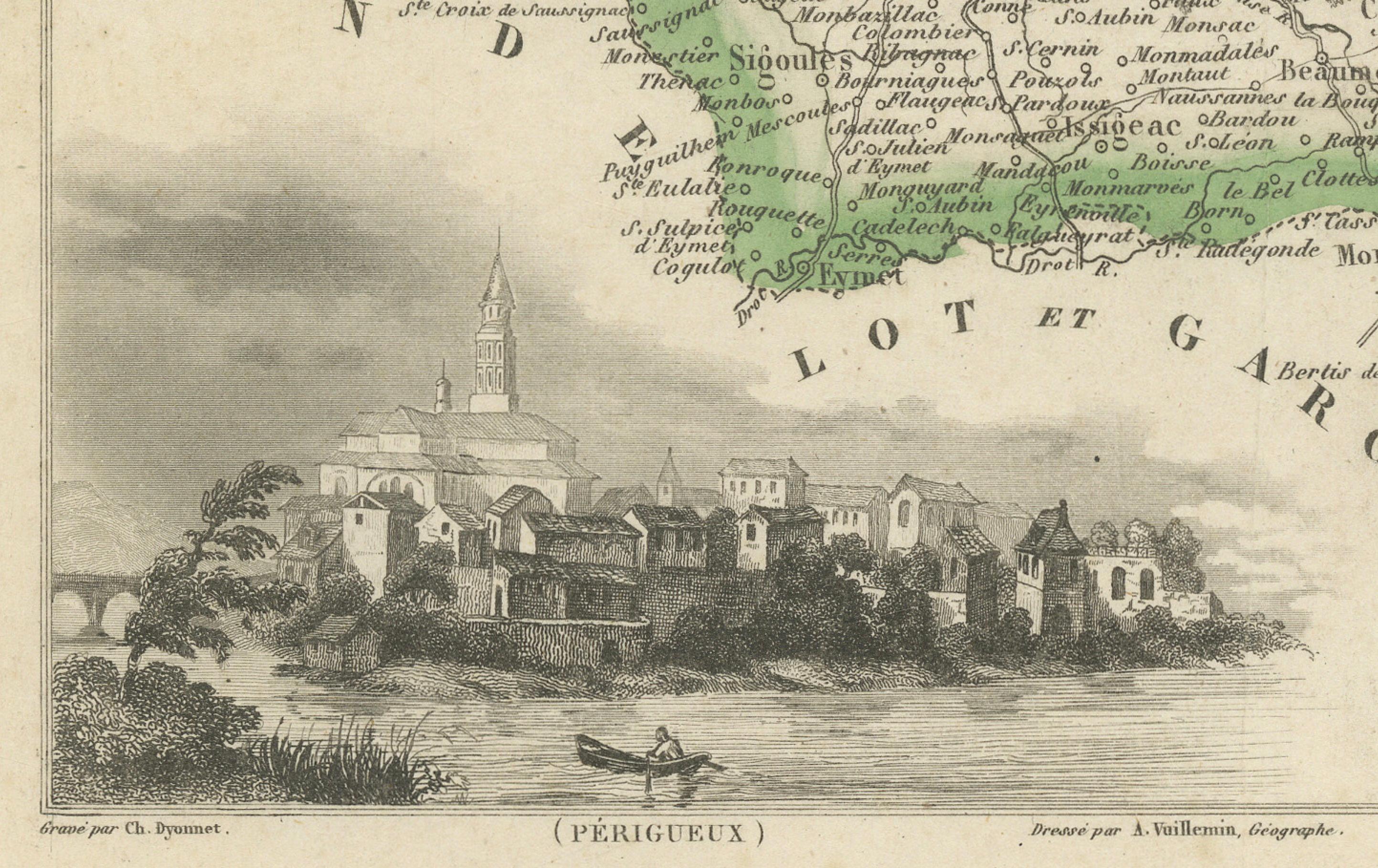
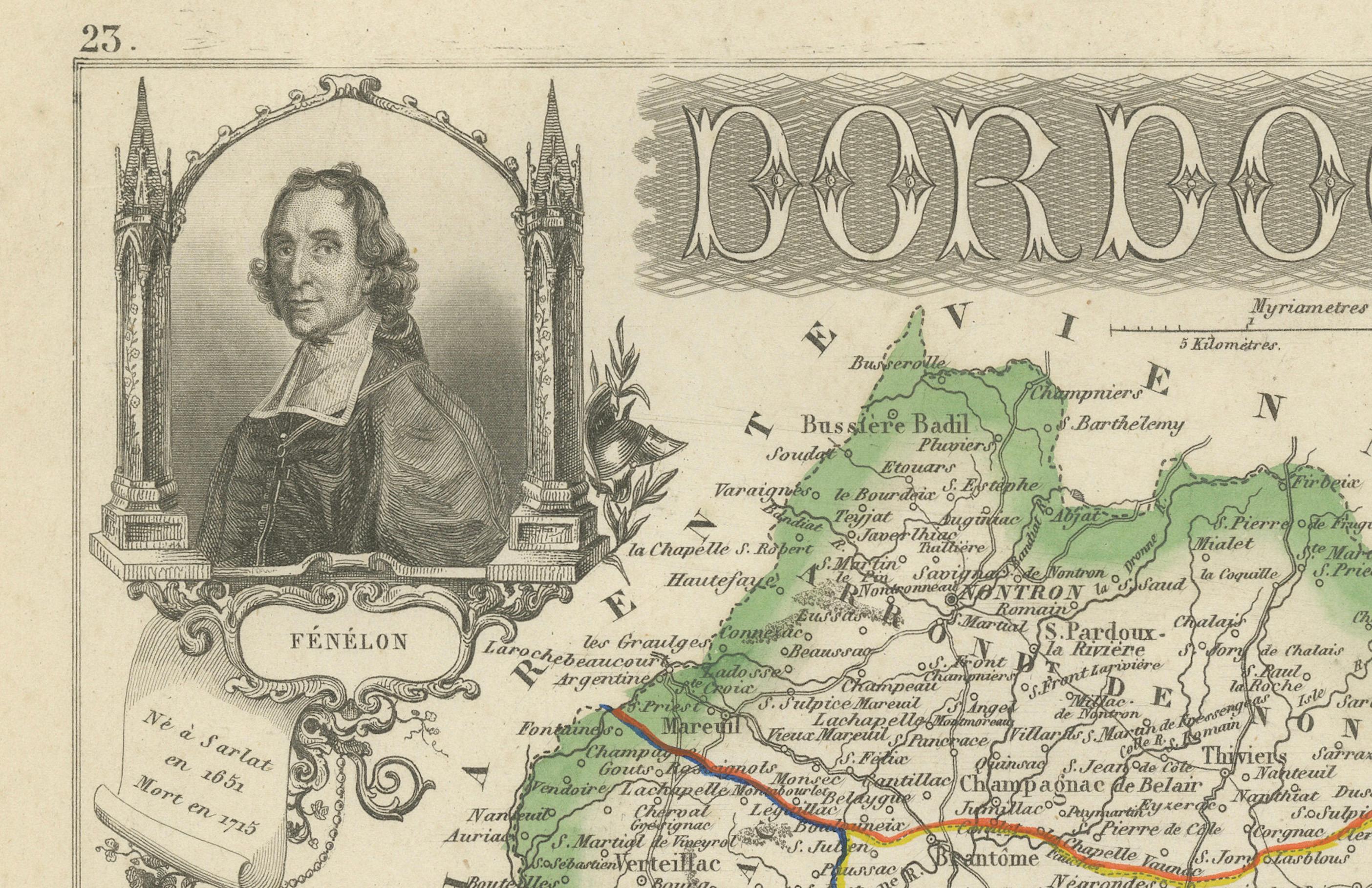
At the lower left is a charming vignette of Périgueux with its cathedral dome rising above a riverside village scene. To the lower right, the Château de Jumilhac appears perched on a slope, representing the region’s long architectural history and noble estates. The upper left features a portrait of François Fénelon, the theologian and writer born in Périgord in the 17th century. His inclusion reflects the department’s intellectual heritage. The heraldic crest of Dordogne also appears in the upper right.
Dordogne is famous for its culinary and cultural wealth, particularly its foie gras, truffles, walnuts, and wines. Bergerac, located in the southwestern part of the department, is a key wine-producing area within the Bergerac AOC, known for its red, white, and rosé wines. The vineyards here produce wines from Bordeaux varietals such as Merlot, Cabernet Sauvignon, and Sauvignon Blanc, with increasingly refined expressions gaining international recognition. The region is also steeped in prehistoric significance, home to the Lascaux caves and numerous archaeological sites.
This map is a decorative and historical homage to Dordogne’s blend of gastronomy, viticulture, literature, and rural charm. It is a superb piece for collectors with interests in French culture, food, wine, and history.
Condition summary:
Very good condition with light toning and a few small foxing marks, mainly around the margins. The engraving remains crisp and the hand coloring is well preserved.
Framing tips:
Pair this map with a warm walnut or golden oak frame to reflect the earthy tones of Dordogne. A cream or soft green mat will complement the coloring and highlight the detailed vignettes. Use UV-protective glass for long-term display and preservation.