About this sheet
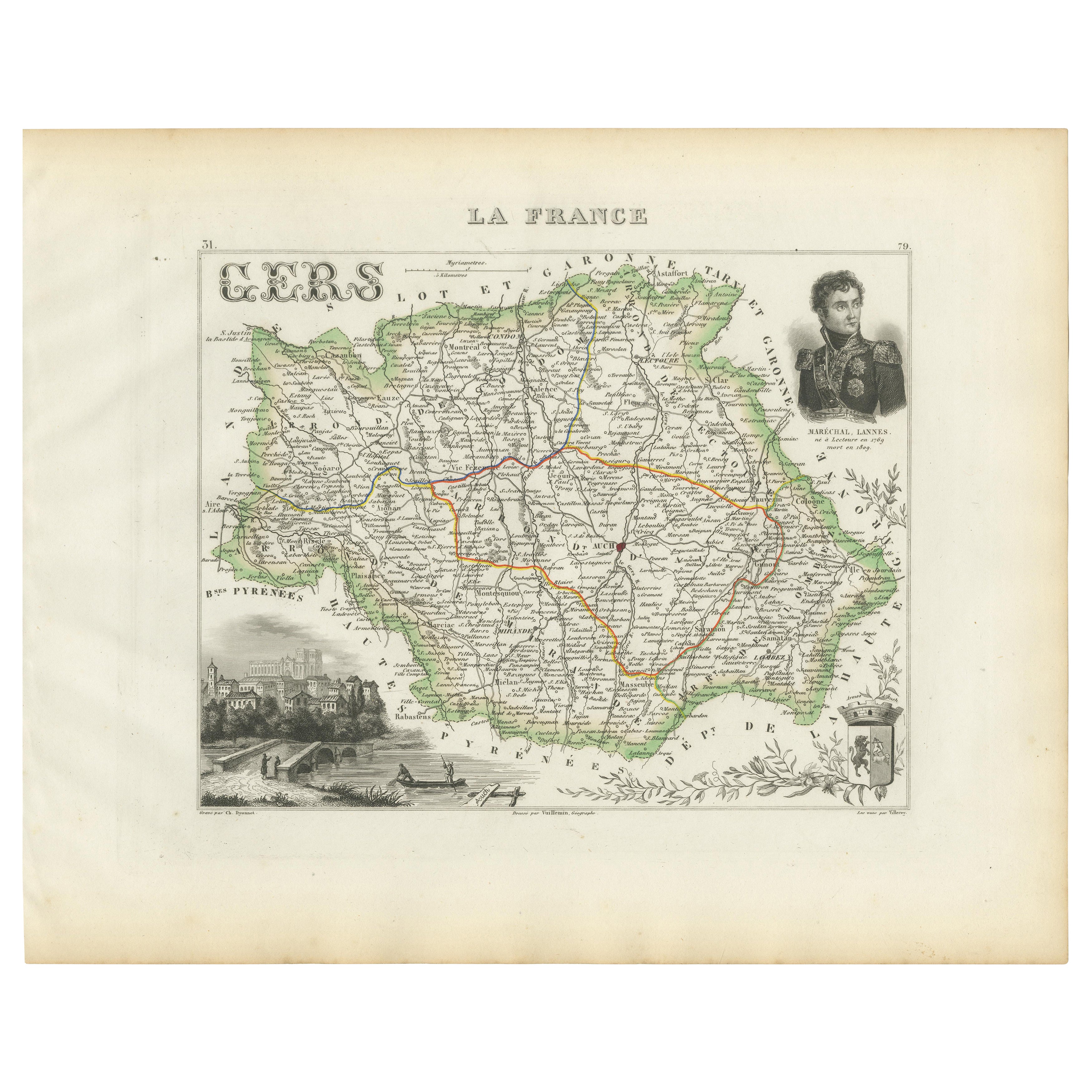
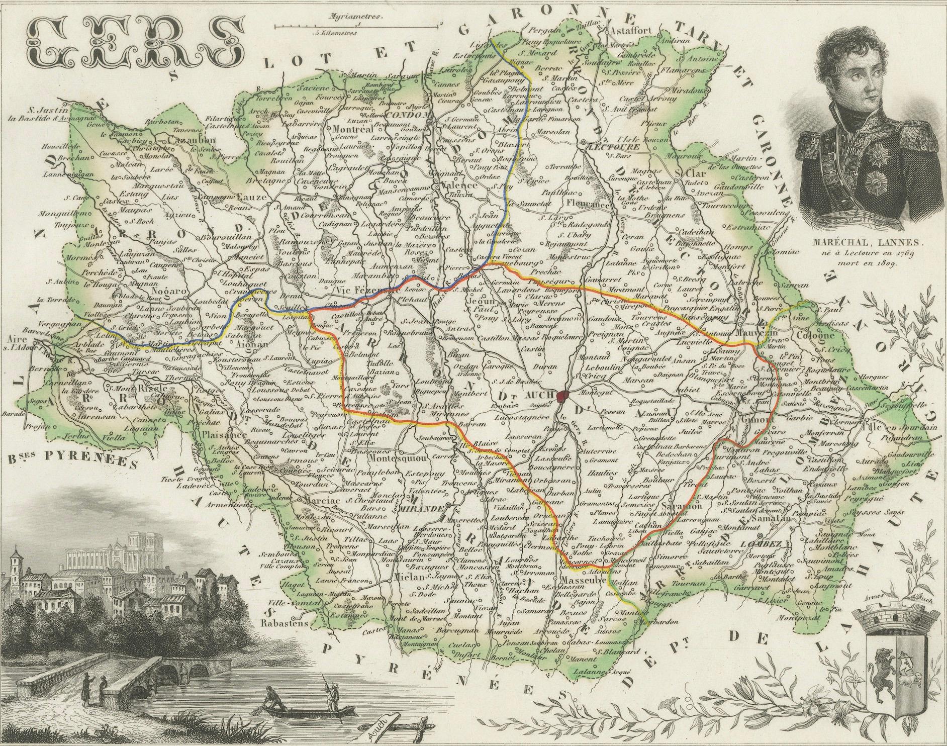
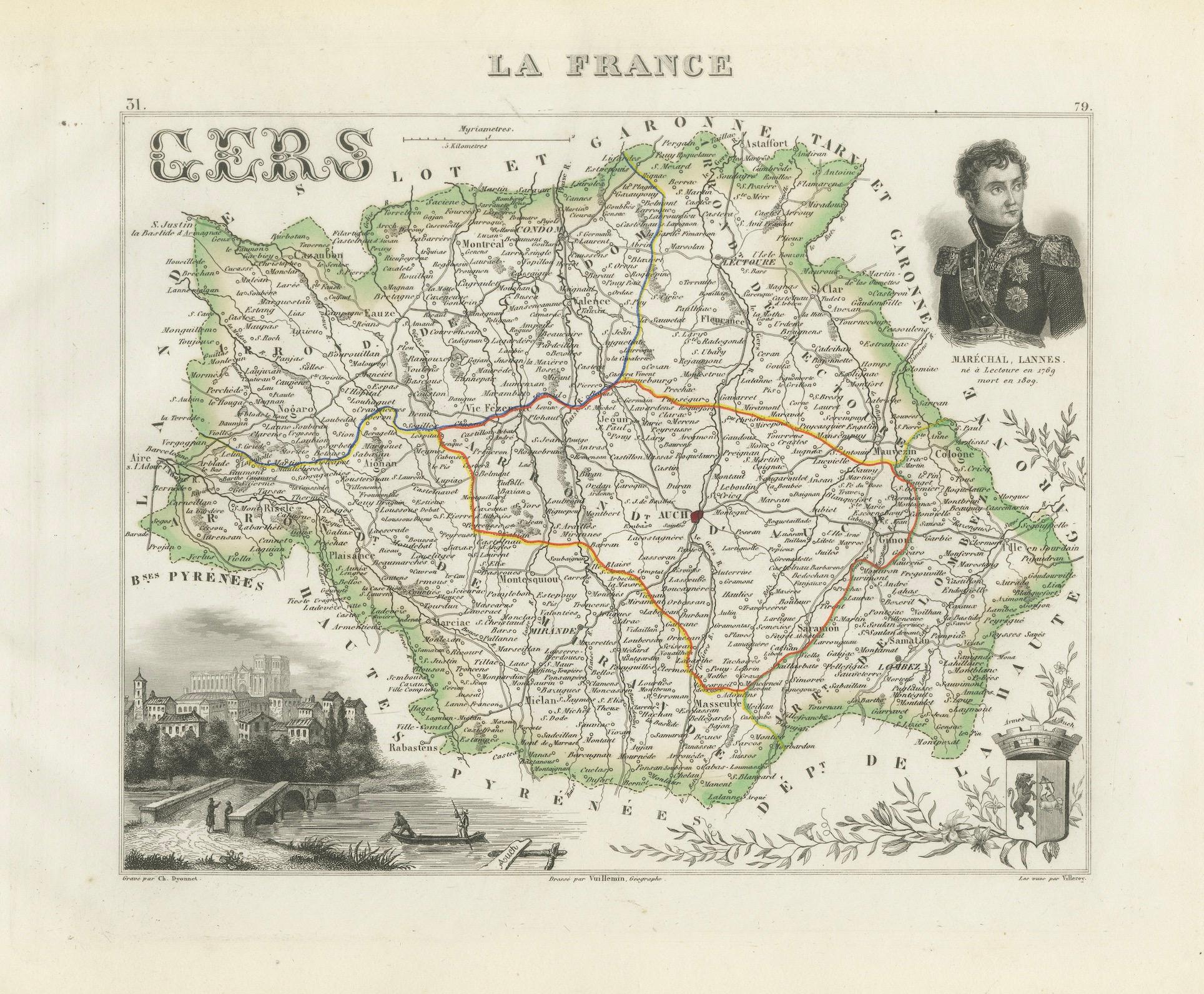
Map of Gers France with Auch and Armagnac Wine Region by Vuillemin, 19th c
This 19th-century engraved and hand-colored map of the department of Gers in southwestern France was created by Alexandre Vuillemin and published by Migeon in Paris as part of the richly illustrated Nouvel Atlas Illustré des Départements et des Colonies. Known for its elegant blend of geography and visual storytelling, this map presents Gers not only as a territorial entity, but also as a region of cultural and historical depth.
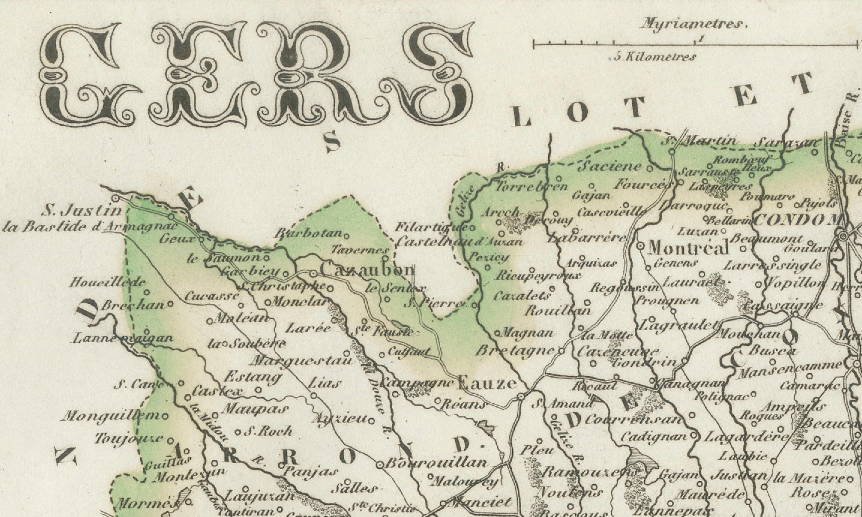
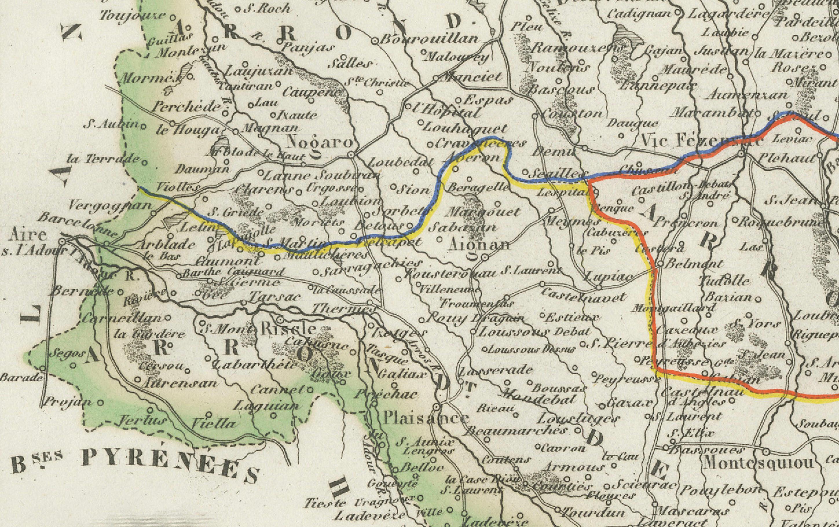
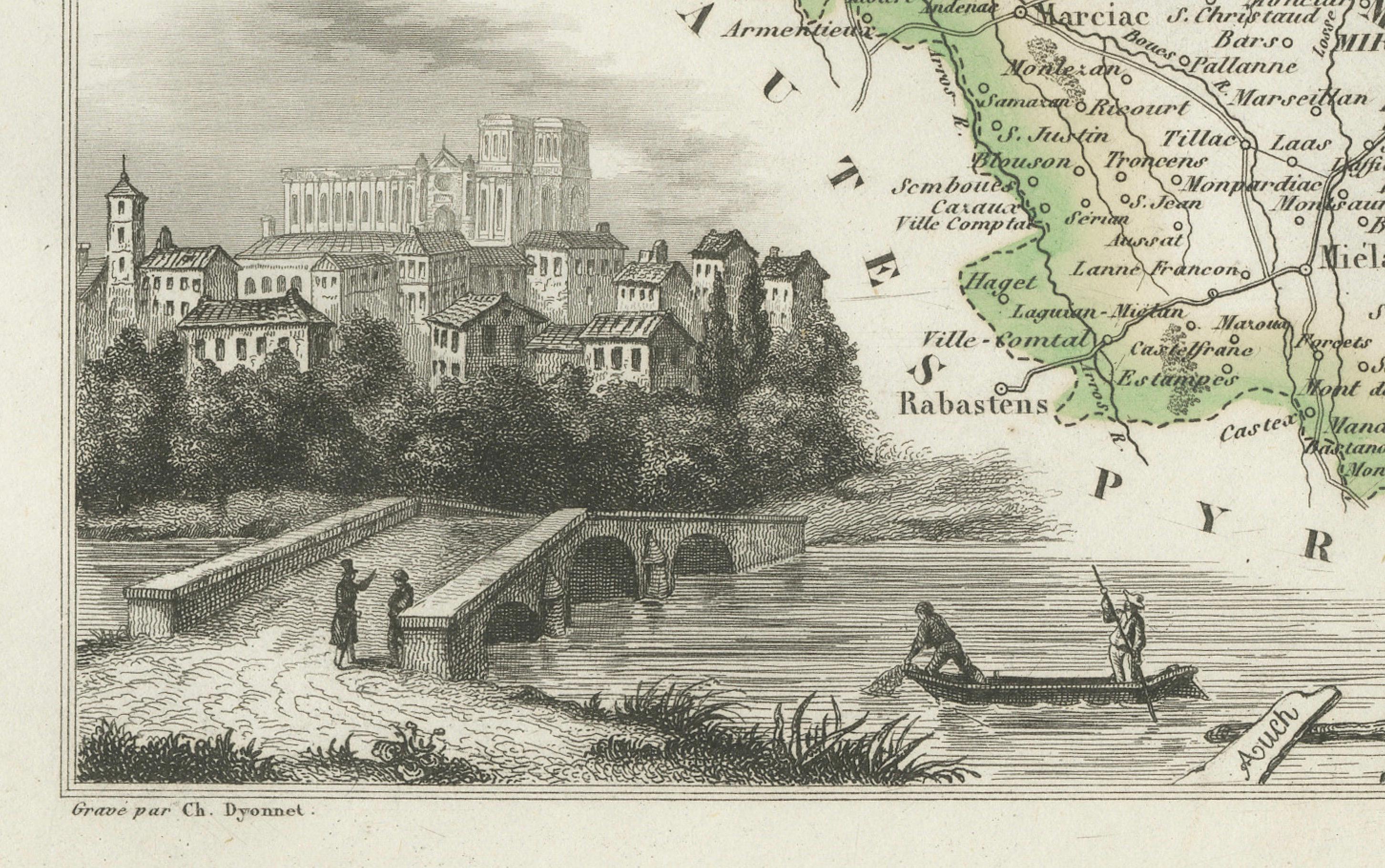
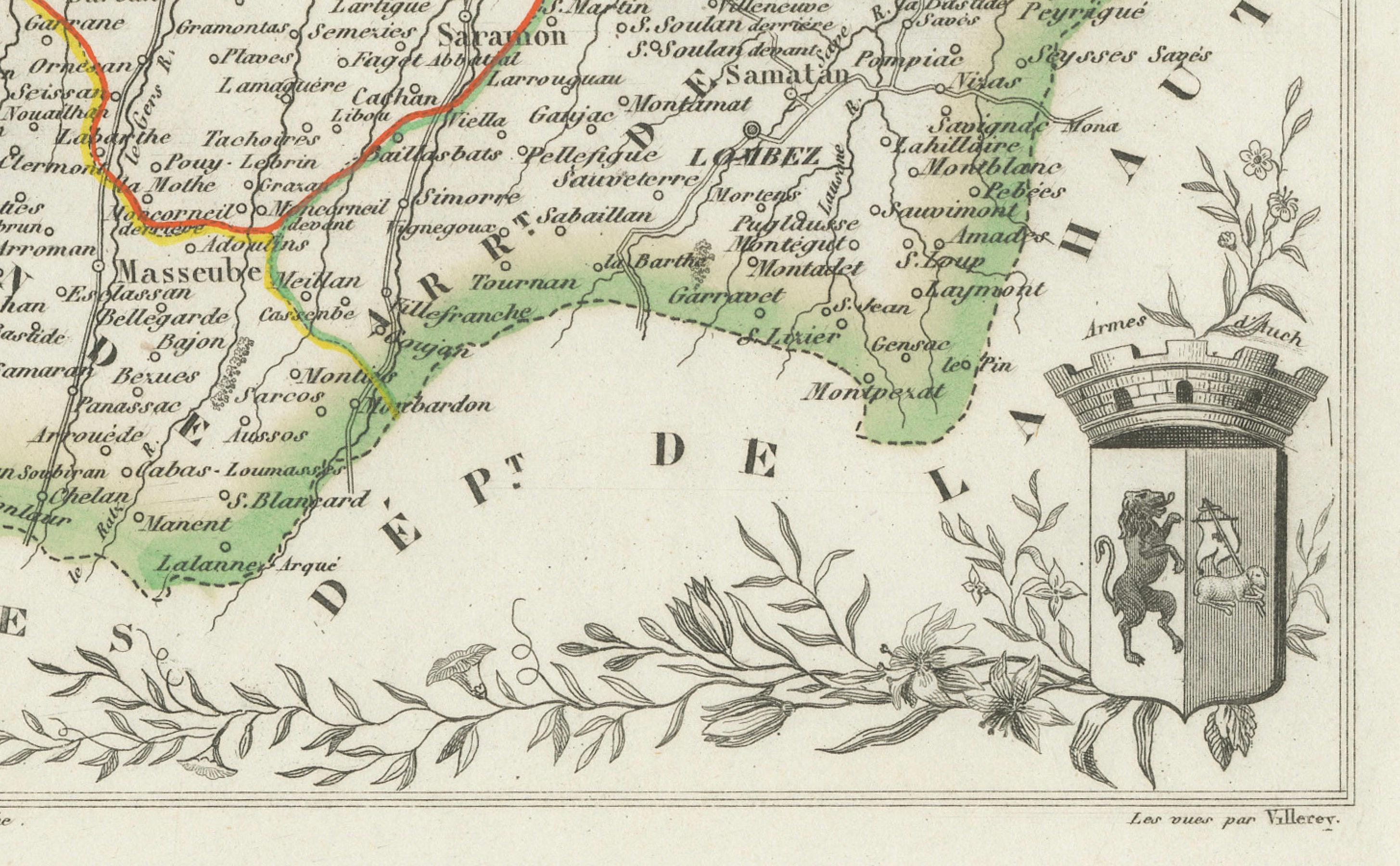
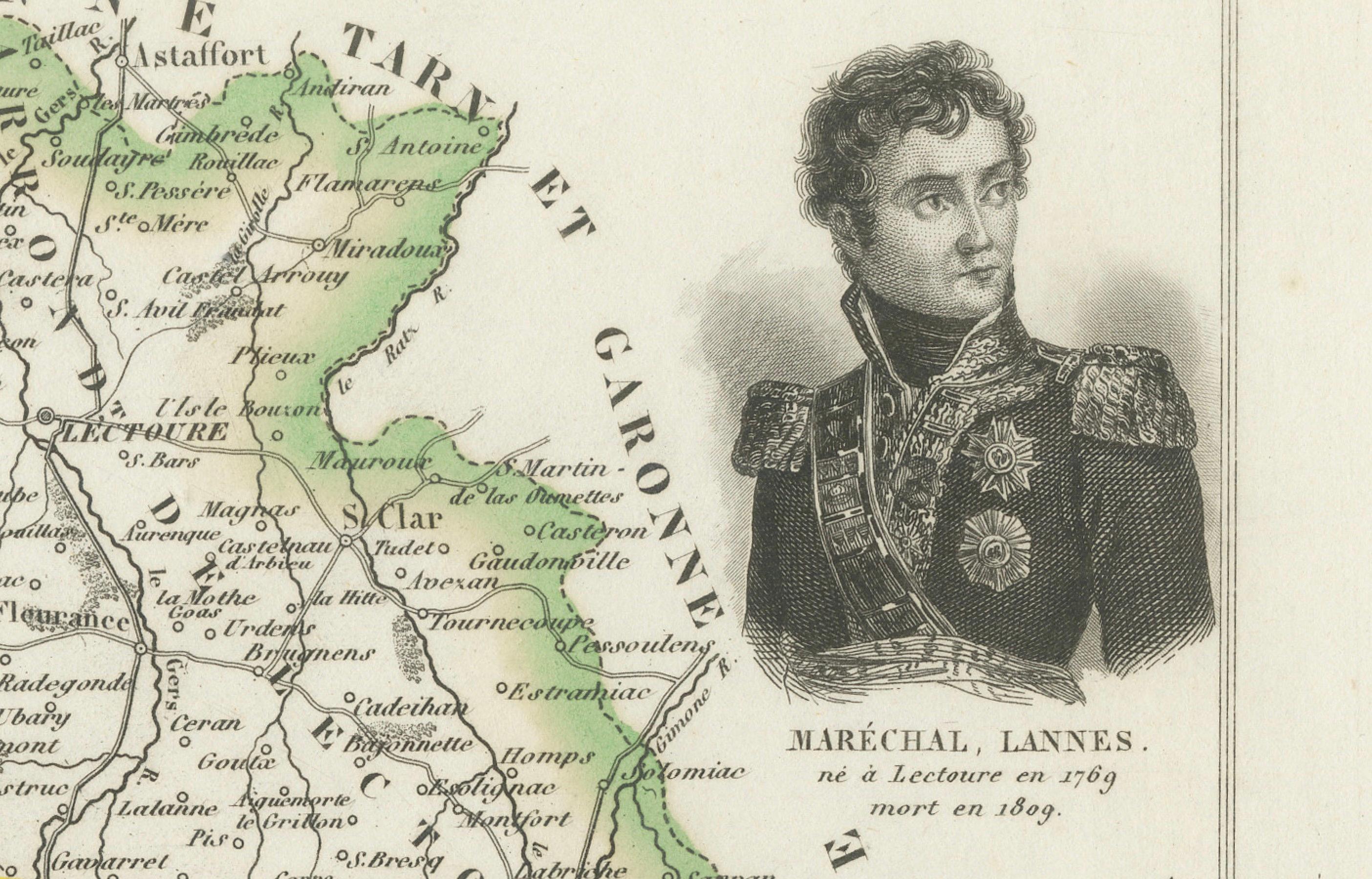
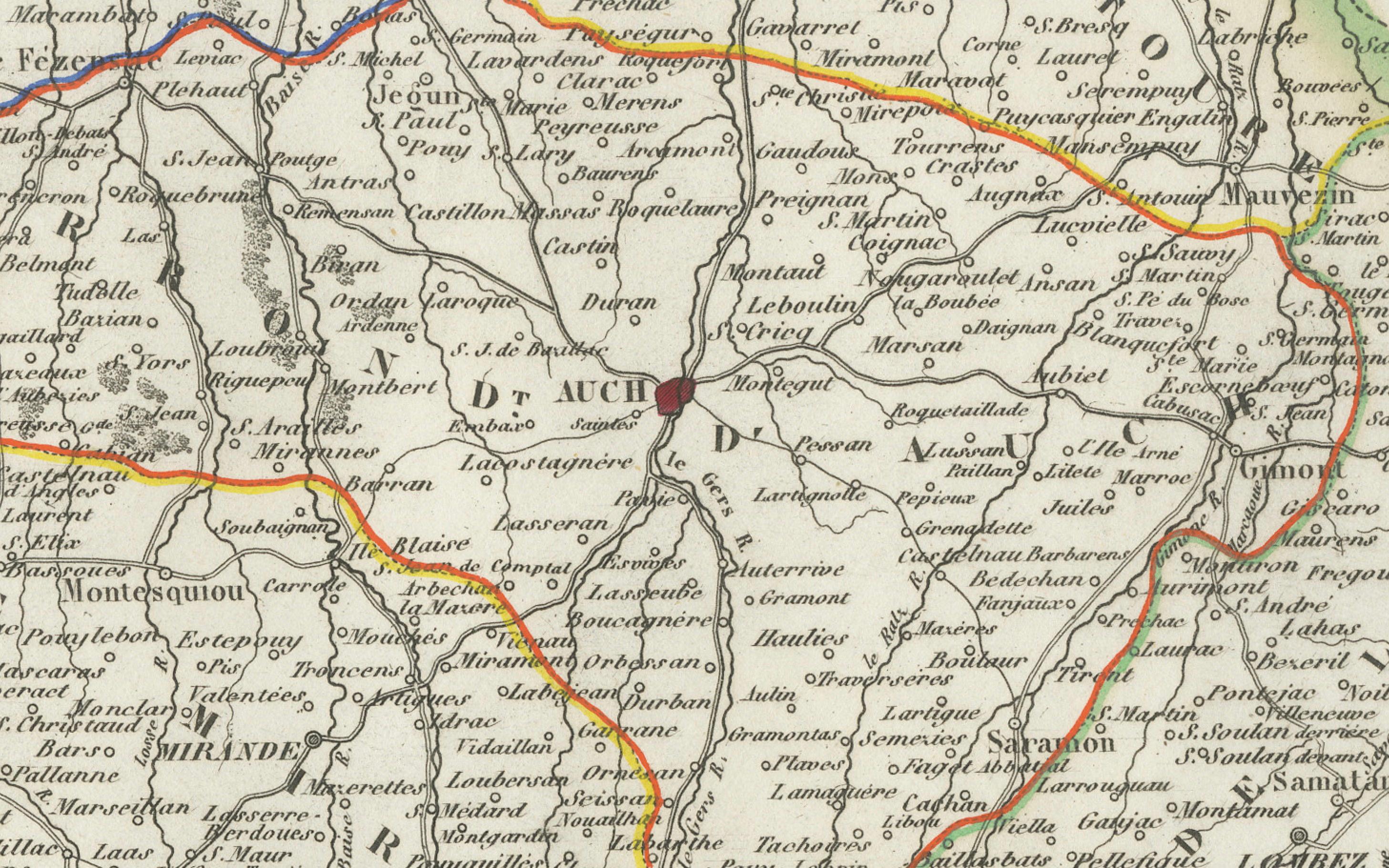
Gers is depicted with great detail, showing roads, rivers, communes, and the main town of Auch at the center. The departmental borders are delicately hand-colored in green, and fine line engraving gives shape to the hilly terrain characteristic of Gascony. In the lower left corner, a charming vignette of the town of Auch shows the cathedral and stone bridge over the River Gers. The portrait in the upper right honors Marshal Jean Lannes, a prominent Napoleonic general born in Lectoure, and the departmental coat of arms is included at the bottom right.
Gers is world-renowned as the heartland of Armagnac, one of the oldest and most prestigious French brandies. This region, part of Gascony, produces Armagnac in three main zones: Bas-Armagnac, Ténarèze, and Haut-Armagnac. These areas yield brandies known for their complexity, smoothness, and aromatic richness. Unlike Cognac, which is double-distilled, Armagnac is distilled only once in a continuous column still, preserving more of the character of the grapes. The region also produces wine under the Côtes de Gascogne appellation, particularly fresh white wines made from Colombard, Gros Manseng, and Ugni Blanc.
The map was engraved by Alexandre Vuillemin, a prominent 19th-century French cartographer celebrated for blending educational detail with decorative flair. His maps often included historical figures, town views, coats of arms, and ornamental title treatments. Migeon, the publisher, was known for high-quality illustrated works that appealed to scholars, students, and collectors alike.
Condition summary:
Very good condition with slight age toning and a few small spots in the margins. The engraving is crisp, and the original hand-coloring is clear and well-preserved.
Framing tips:
This map will display beautifully in a classic walnut or dark wood frame. A light beige or ivory mat will enhance the green hand-coloring and the architectural vignette of Auch. UV-protective glass is recommended for preserving detail and preventing fading over time.