About this sheet
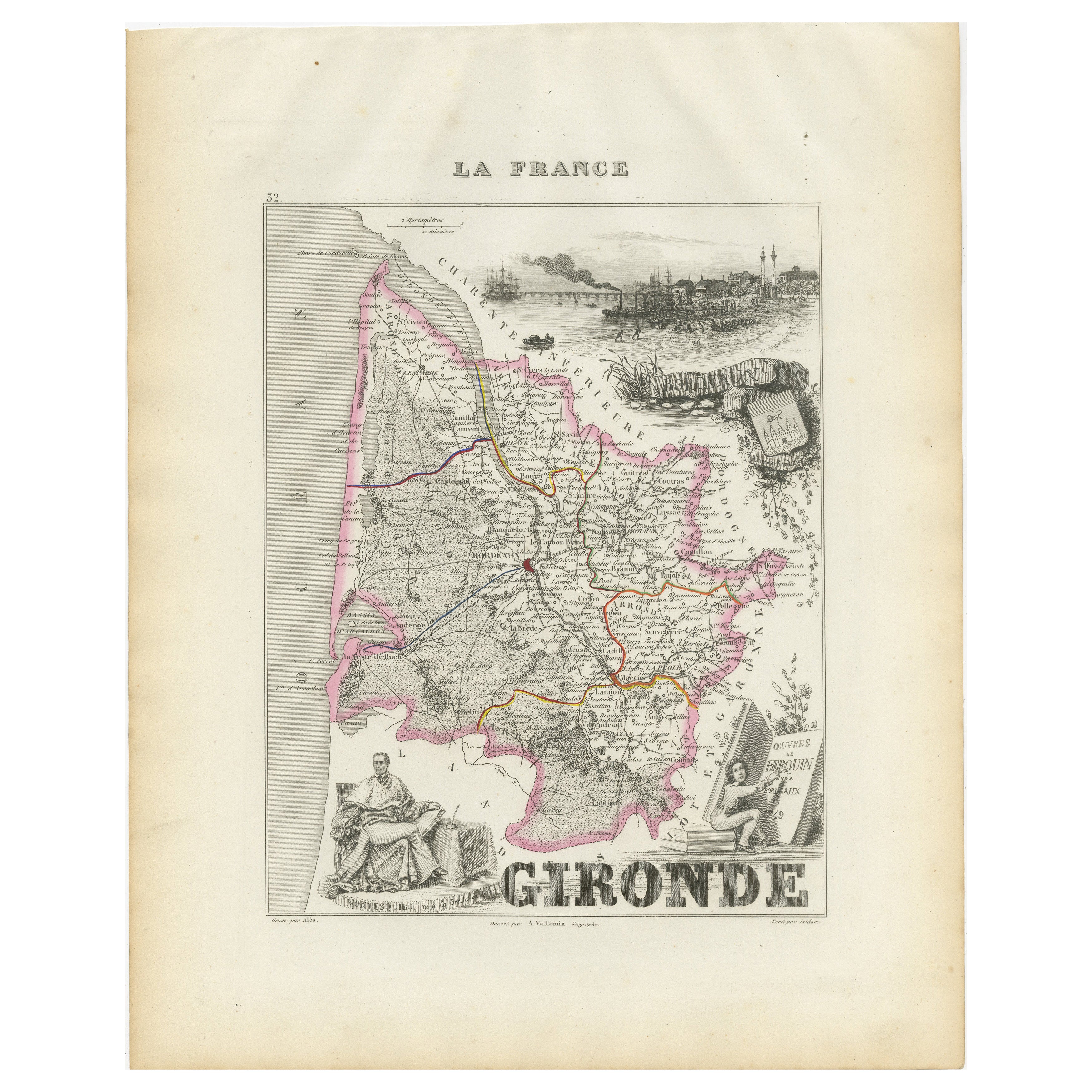
Map of Gironde France with Bordeaux Wine Region by Vuillemin, 19th c
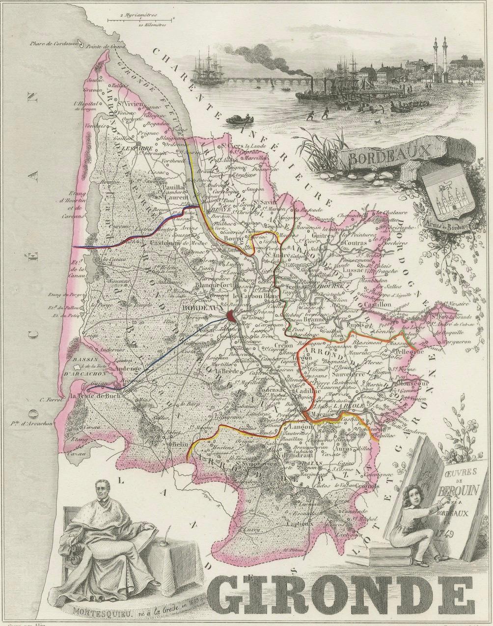
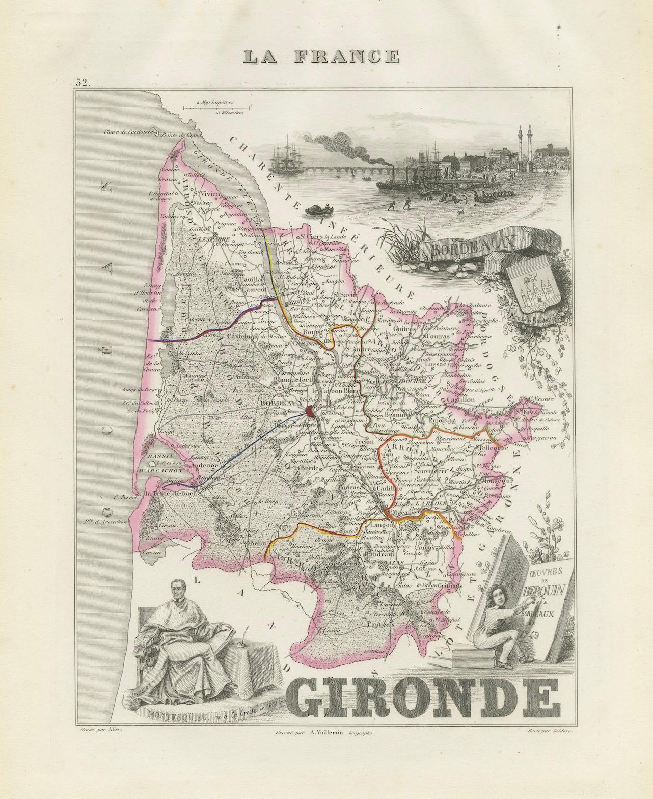
This striking 19th-century map of Gironde, France, is part of the Nouvel Atlas Illustré by Alexandre Vuillemin, published in Paris by Migeon. Expertly engraved and delicately hand-colored, this map offers both cartographic precision and rich artistic embellishment, celebrating the department’s historical, cultural, and economic importance.
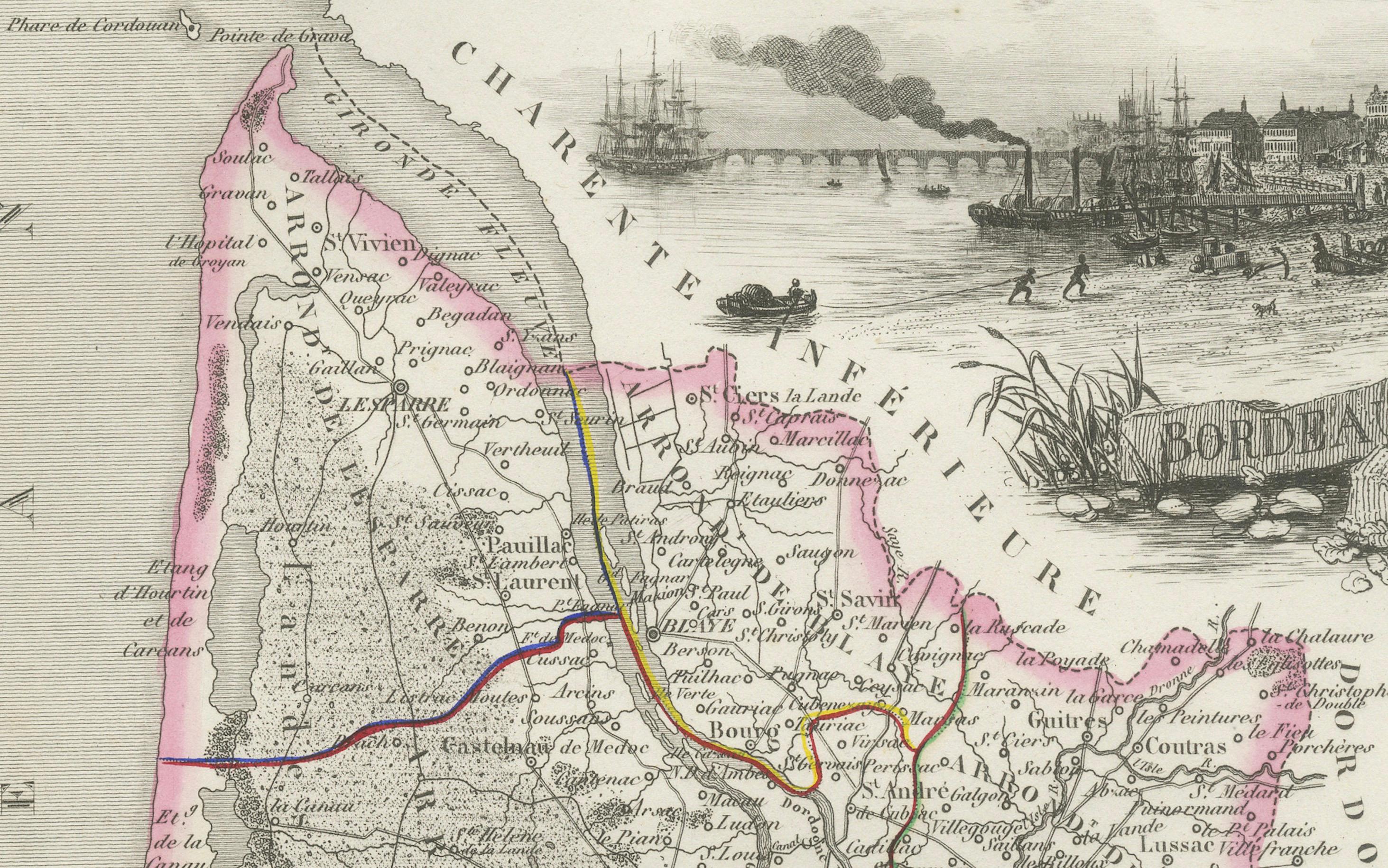
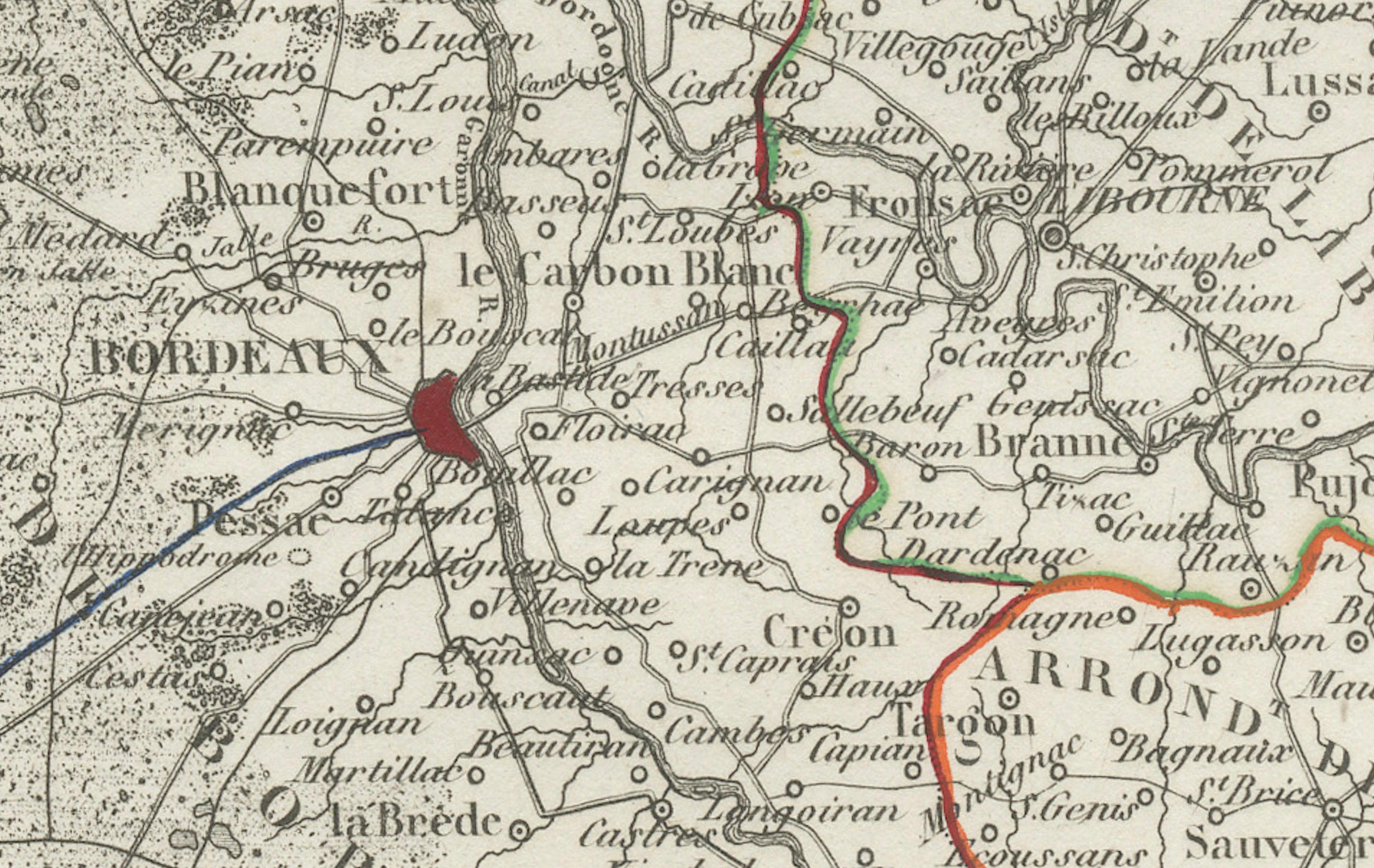
The map presents the entire Gironde department, with its major cities, rivers, and road networks clearly defined. Towns like Bordeaux, Blaye, Libourne, and Lesparre are prominently marked. The borders are tinted in soft pink, typical of Vuillemin’s stylistic approach. The Garonne and Dordogne rivers are shown converging near Bordeaux to form the Gironde estuary, which flows out to the Atlantic Ocean—a critical trade artery for centuries.
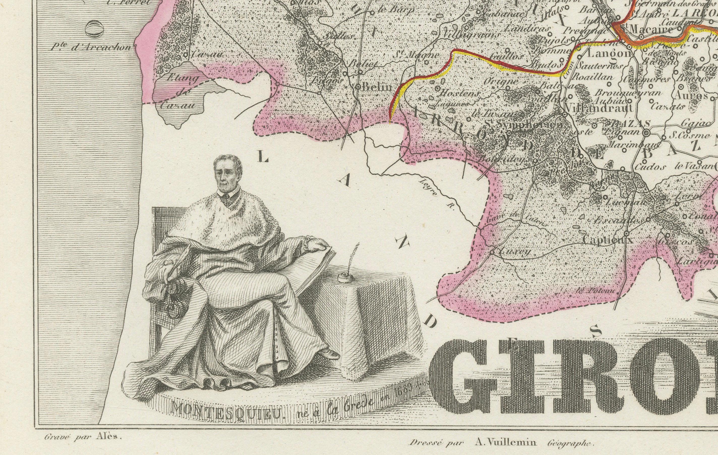
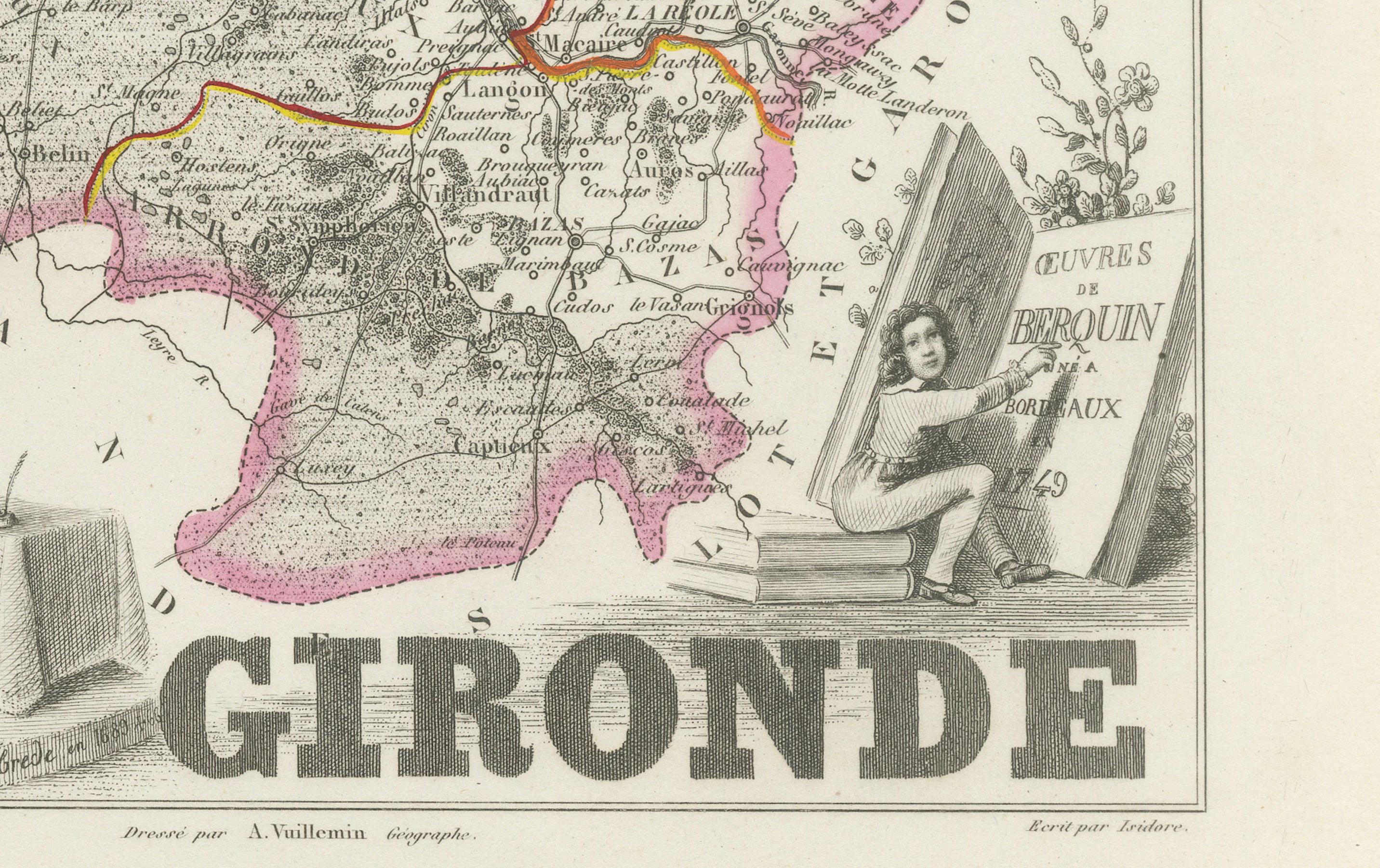
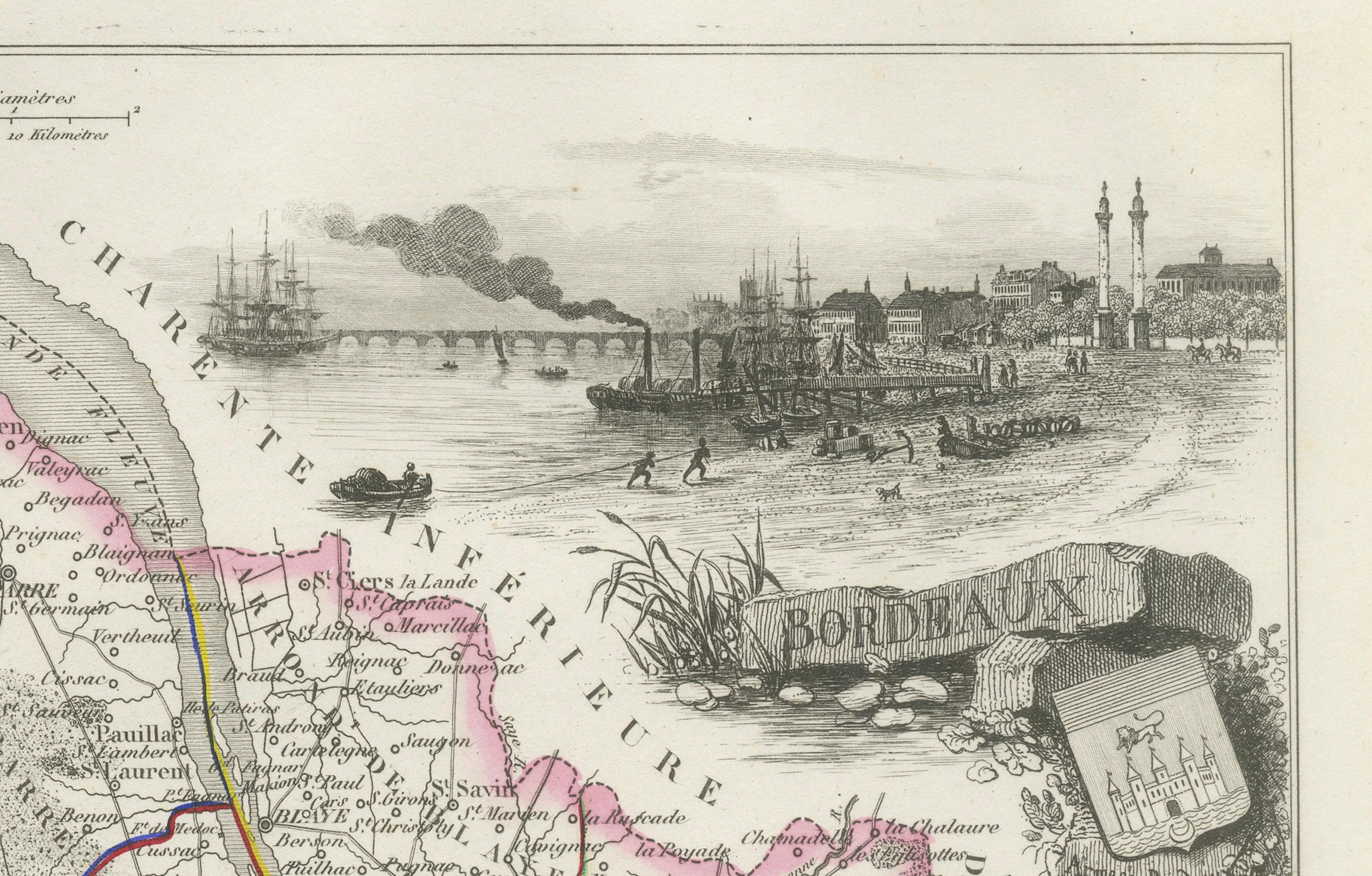
In the upper right, a vivid vignette depicts the bustling port of Bordeaux, complete with tall ships, merchant activity, and the quayside architecture that made the city one of Europe’s great trading hubs. At the lower left, a portrait of Montesquieu, the Enlightenment philosopher born at Château de La Brède in Gironde, honors the region’s intellectual heritage. A young scholar reading from a large volume titled “Oeuvres de Berquin” appears in the lower right, adding to the print’s educational charm.
Gironde is most famously known for its wines—particularly as home to the Bordeaux wine region, one of the most prestigious in the world. The Médoc, Saint-Émilion, Pomerol, Graves, Sauternes, and Margaux appellations all lie within its boundaries. These vineyards produce legendary red blends dominated by Cabernet Sauvignon and Merlot, as well as sweet white wines from Semillon and Sauvignon Blanc. Bordeaux has shaped global wine culture, and this map elegantly situates the department within its viticultural legacy.
Alexandre Vuillemin was a respected French cartographer renowned for integrating artistic and historical content into his maps. His work with Migeon in the Nouvel Atlas Illustré series stands out for its finely engraved town views, portraits, and coats of arms, designed to make geography both informative and visually engaging.
Condition summary:
Very good condition with light toning to the margins and minimal spotting. Engraved lines remain crisp, and the original hand-coloring is well-preserved and vibrant.
Framing tips:
This map looks excellent in a classic gold frame or deep mahogany wood to echo the richness of Bordeaux’s wine heritage. Use an off-white or pale cream mat to enhance the pink border coloring and detailed vignettes. Museum-grade glass is recommended to protect the piece over time.