About this sheet
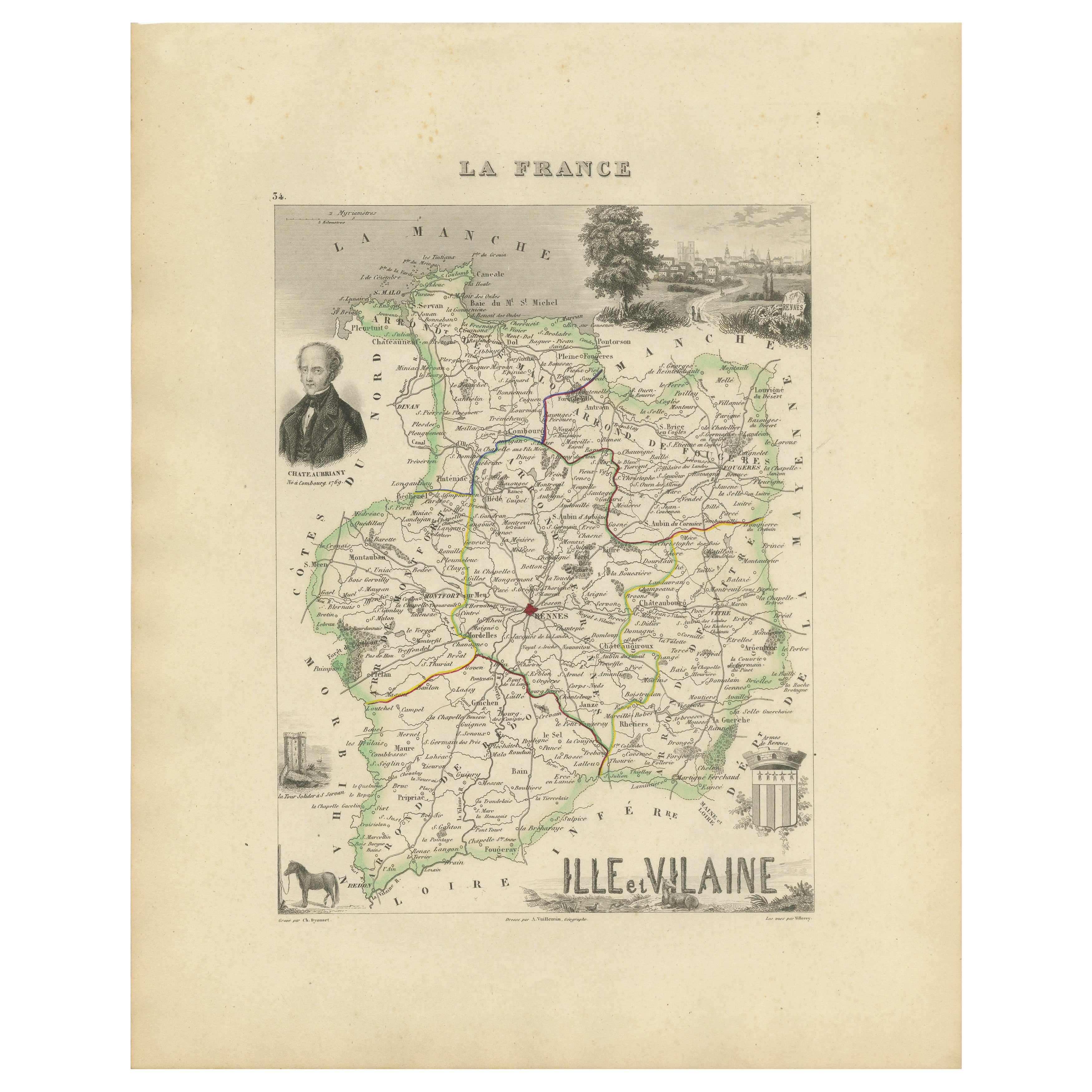
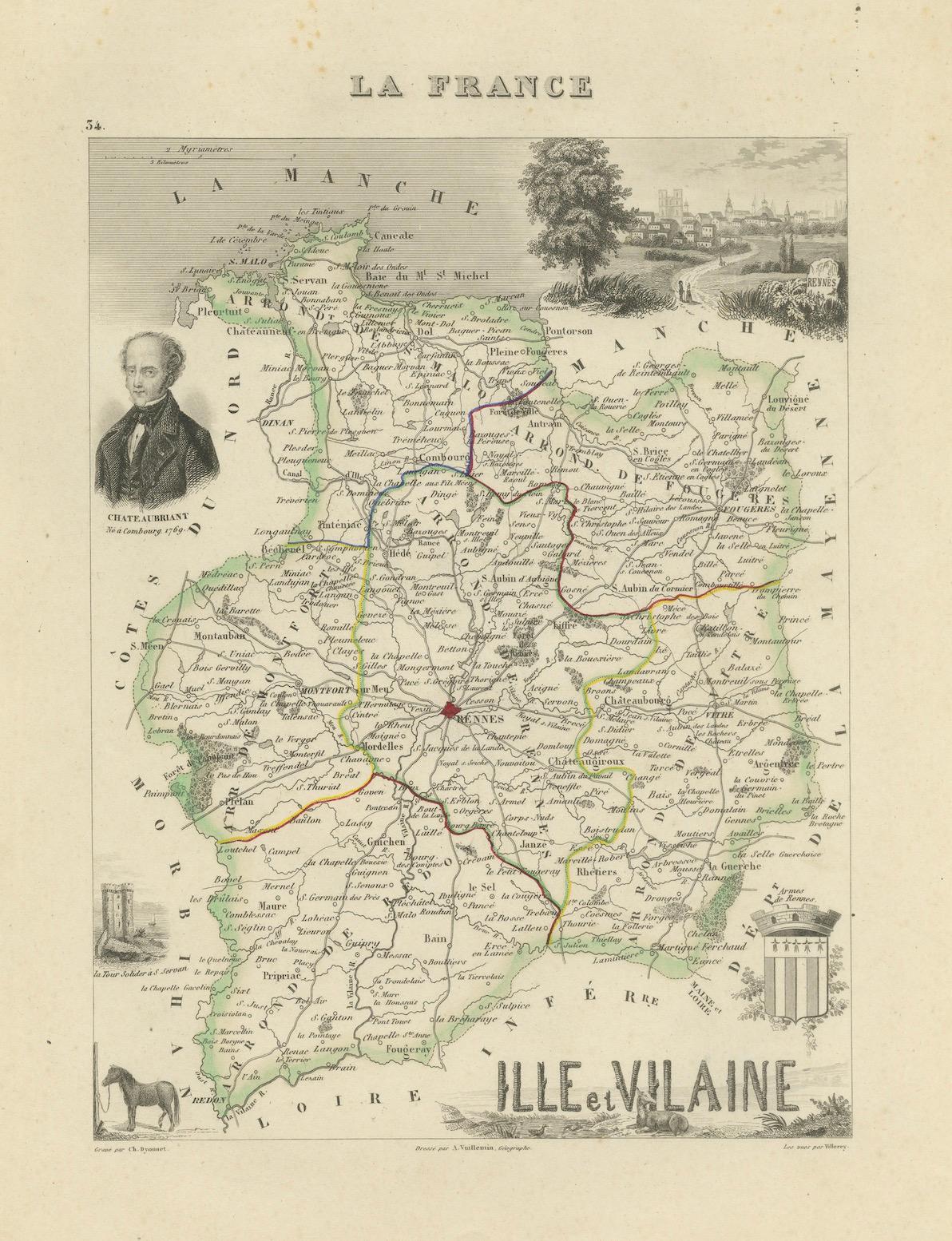
Antique Map of Ille-et-Vilaine, France by Vuillemin, 19th Century
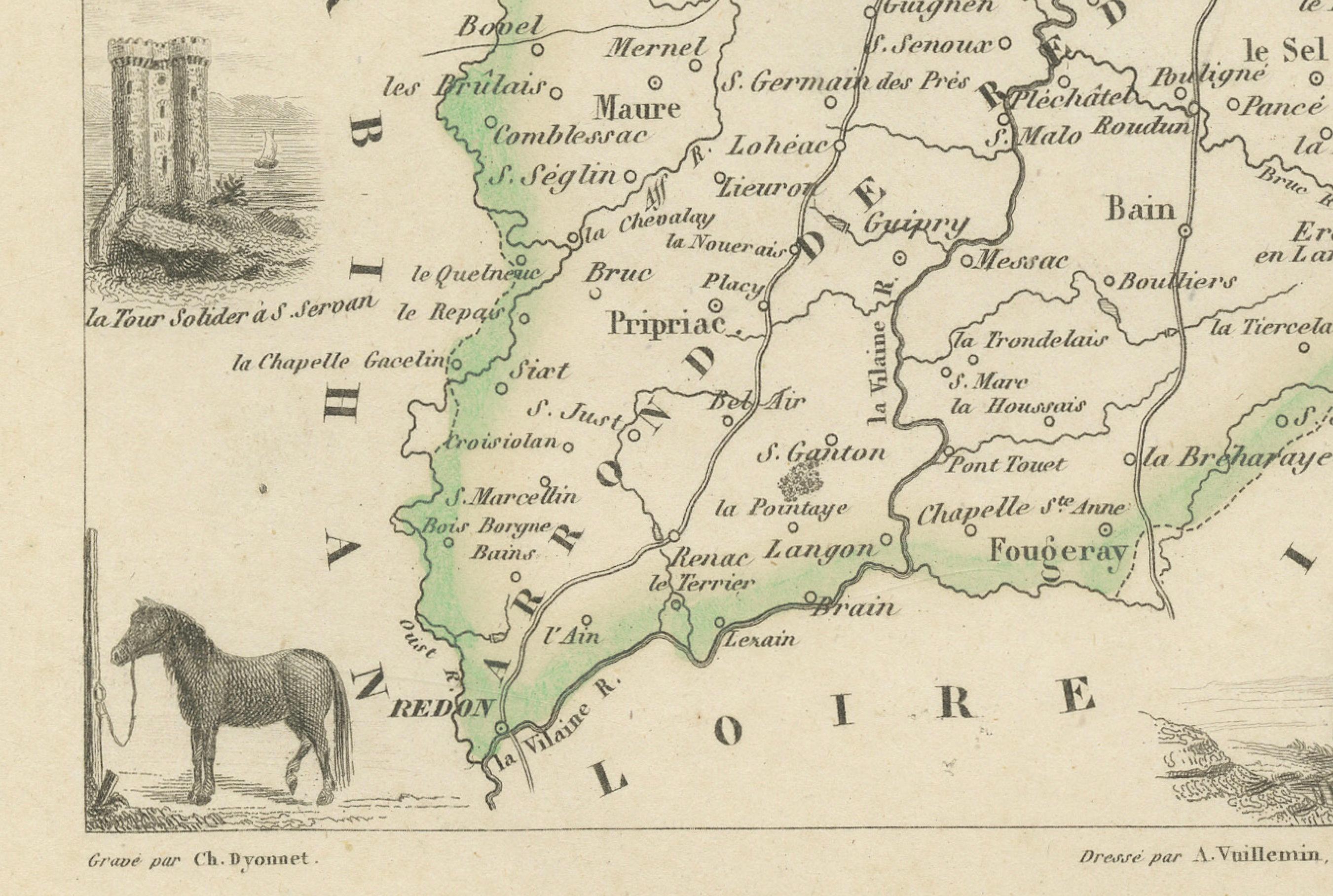
This decorative antique map presents the French département of Ille-et-Vilaine, situated in the Brittany region of northwestern France. Engraved by Alexandre Vuillemin in the mid-19th century, it originates from his renowned atlas of the departments of France, admired for its blend of cartographic accuracy and artistic embellishment.
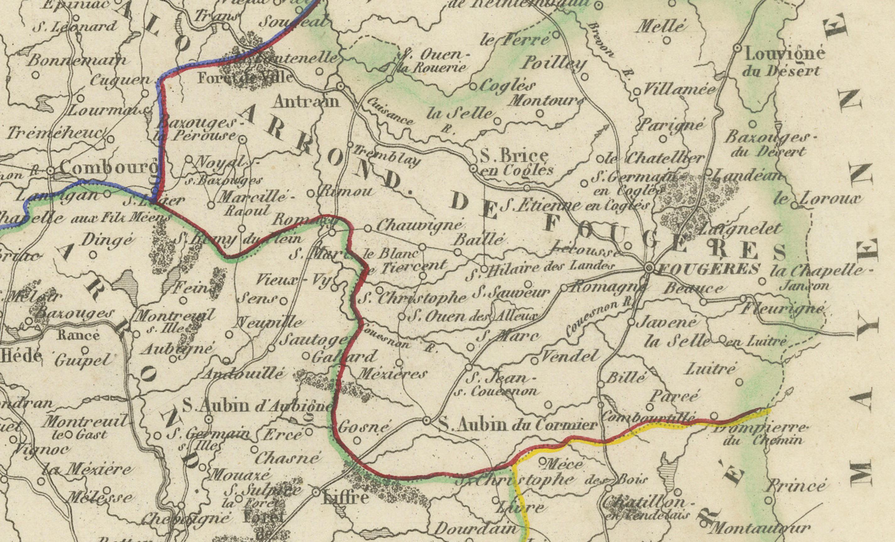
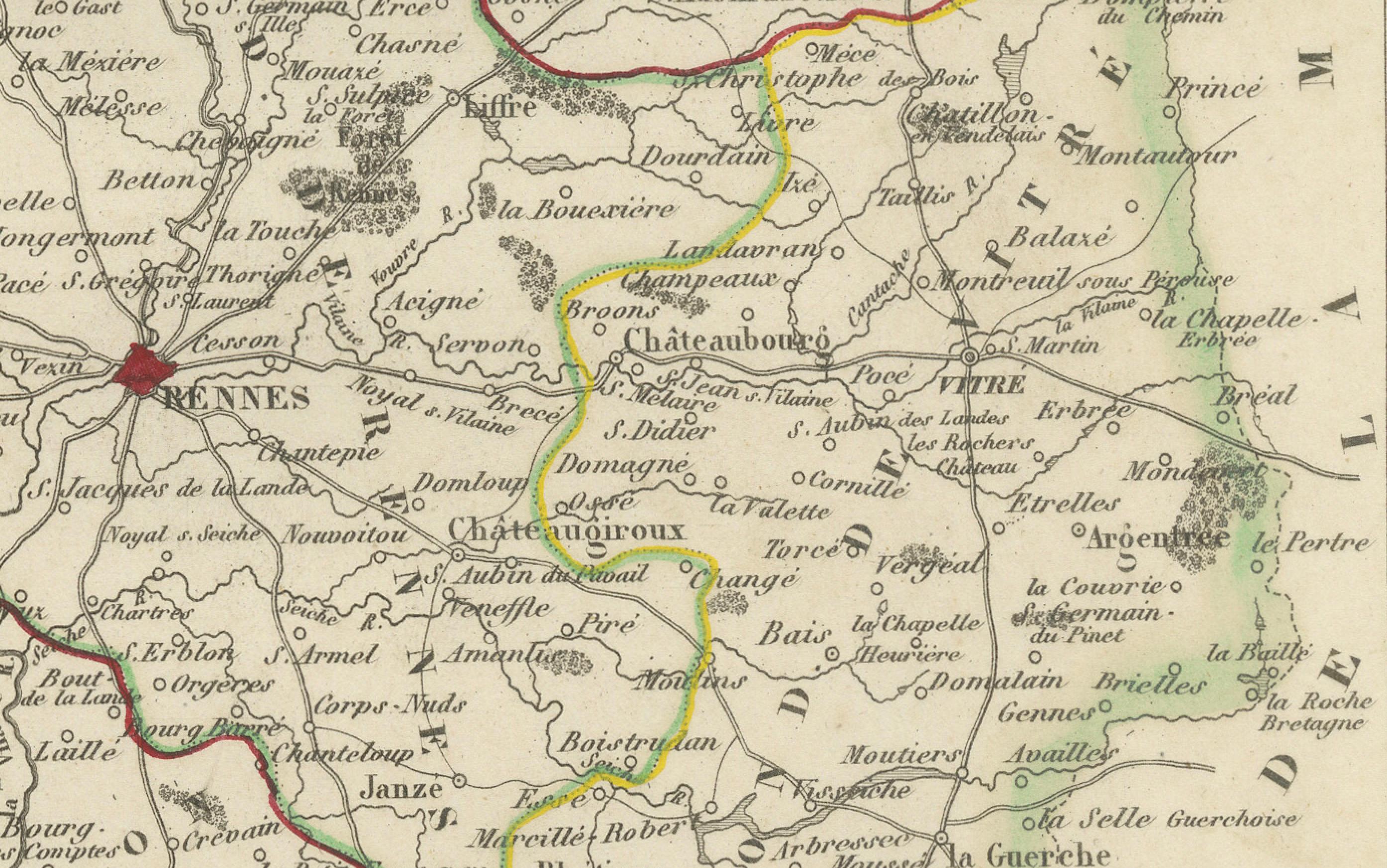
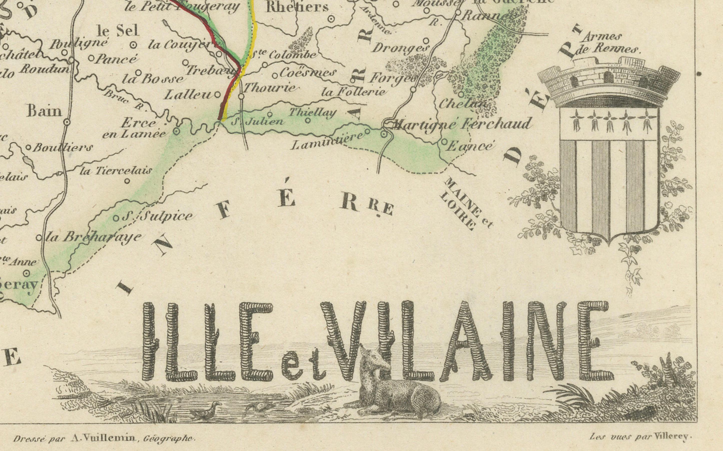
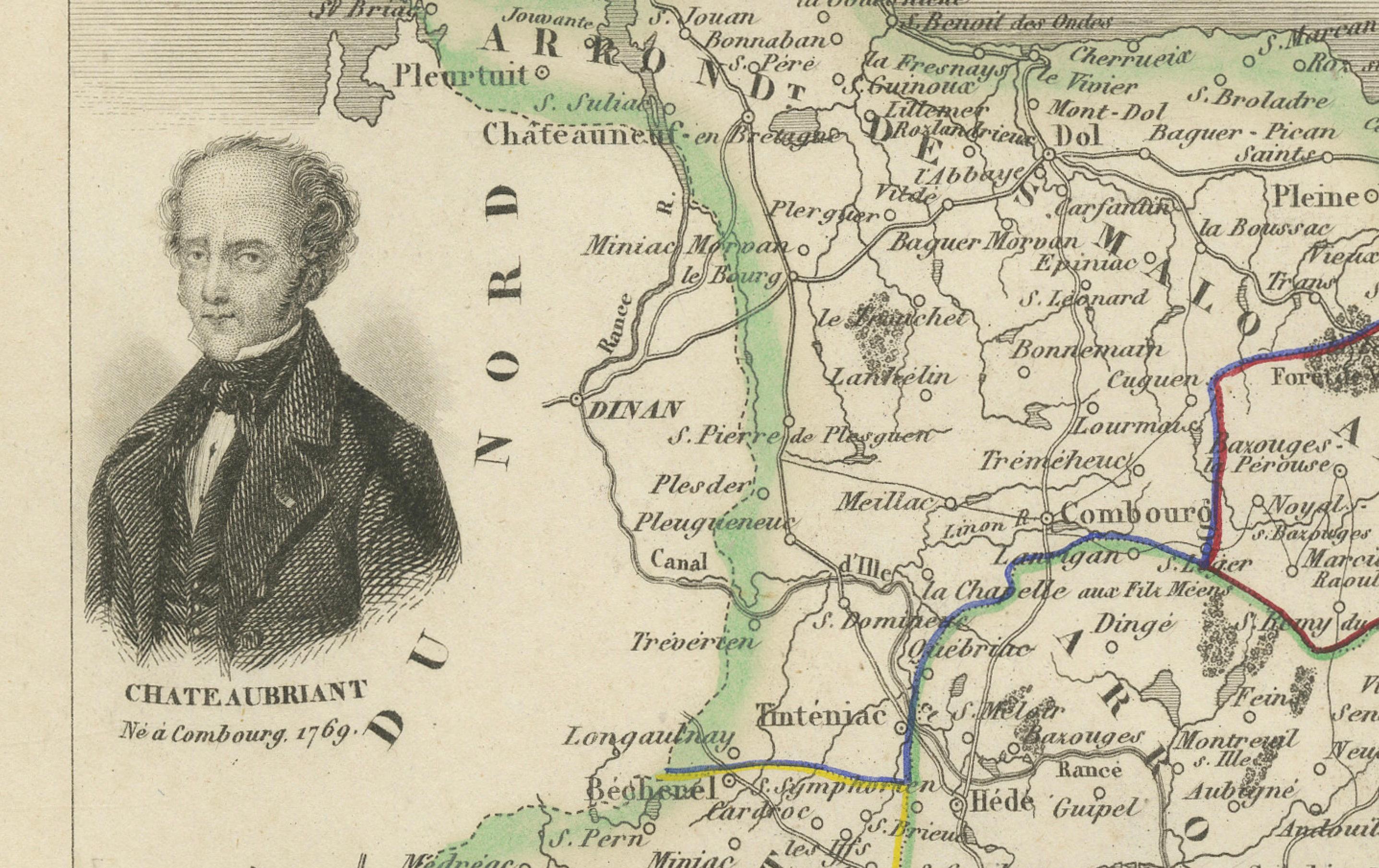
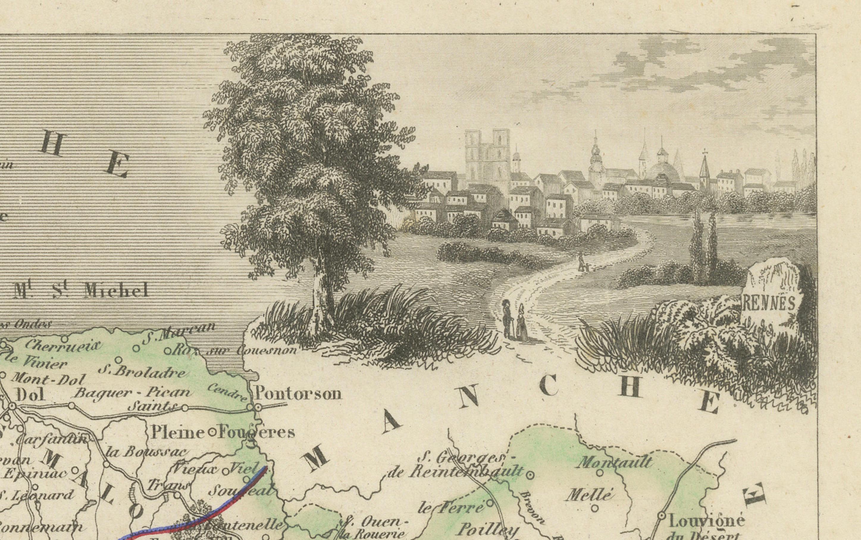
The map details towns, villages, rivers, and road networks, with boundaries highlighted in original outline hand-coloring. Surrounding vignettes enrich the composition: a portrait of the celebrated French writer and statesman François-René de Chateaubriand, born in Saint-Malo, anchors the left margin, while a view of Rennes, the département’s capital, graces the top right. Additional embellishments include a horse vignette symbolizing regional agriculture and the departmental coat of arms at lower right.
Ille-et-Vilaine is a département rich in history, marked by its medieval towns, fortified castles, and coastal ports. Rennes, a center of learning and culture, is prominently noted, alongside Saint-Malo, a historic walled port city once famed for privateers and seafaring trade.
Alexandre Vuillemin (1812–1880) was a distinguished French cartographer and publisher, recognized for his clear geographical renderings enlivened with fine engravings. His atlas of France’s departments provided not only practical information but also a richly illustrated overview of regional identity during the 19th century.
Condition report: Very good condition with strong hand-coloring of borders. Some light scattered foxing and faint toning in the margins, consistent with age. Clean impression with well-preserved decorative vignettes.
Framing tips: An ebonized or gilt frame with a wide ivory mat will highlight the engraved details and decorative vignettes. A narrow Breton blue inner liner could be added to echo the coastal identity of the region.
Technique: Engraving with original hand color
Maker: Alexandre Vuillemin, France, mid-19th century