About this sheet
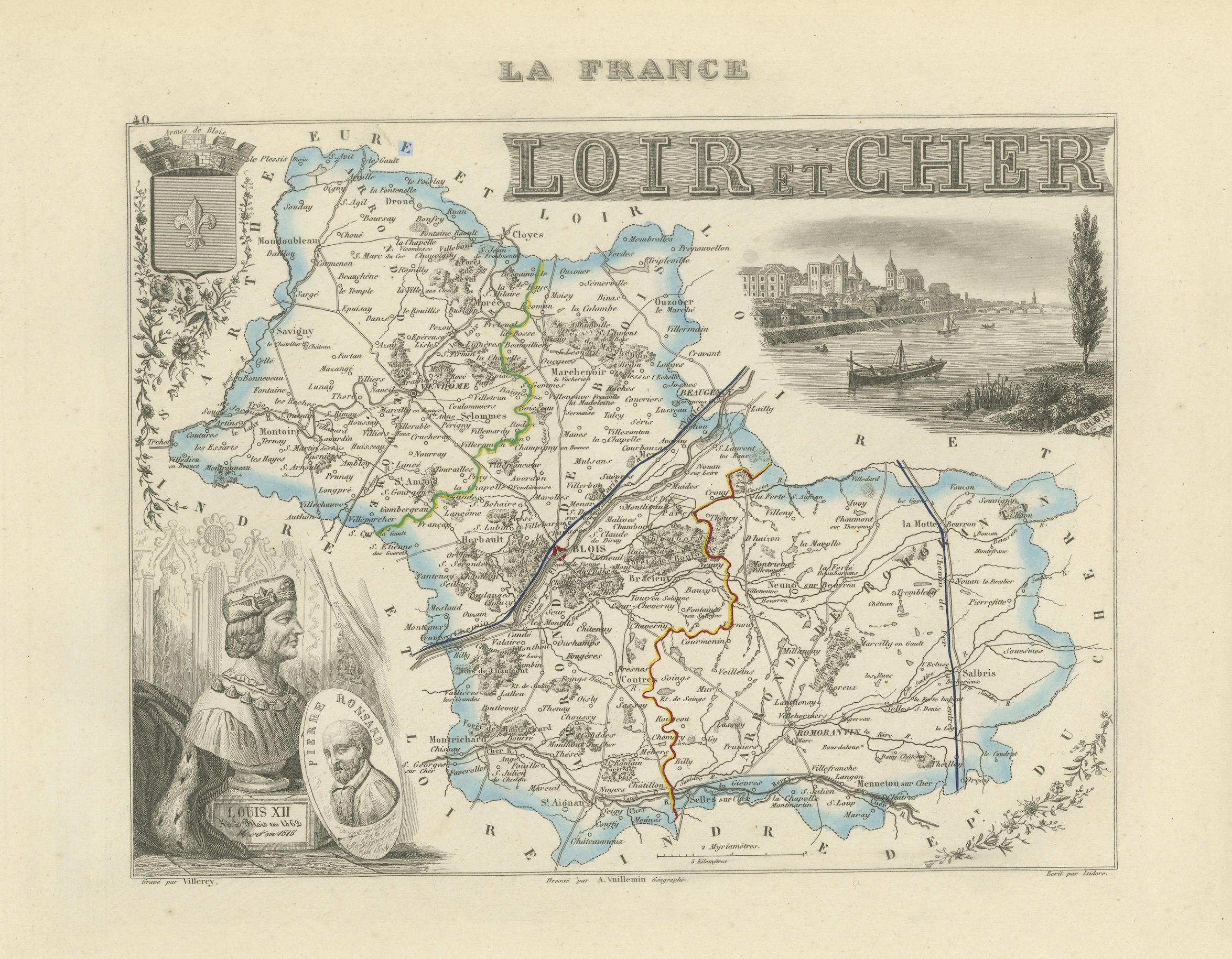
Antique Map of Loir-et-Cher, France by Vuillemin, 19th Century
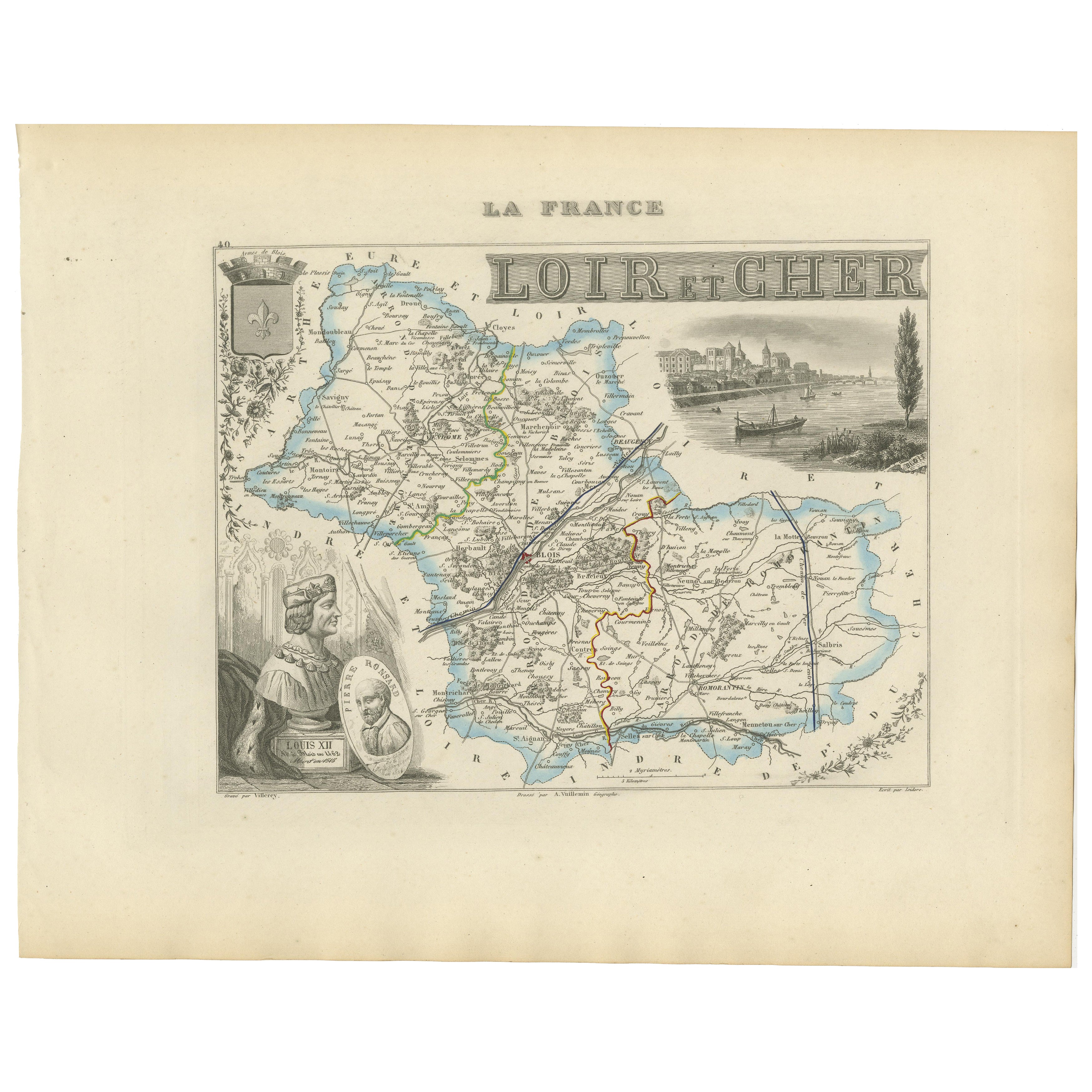
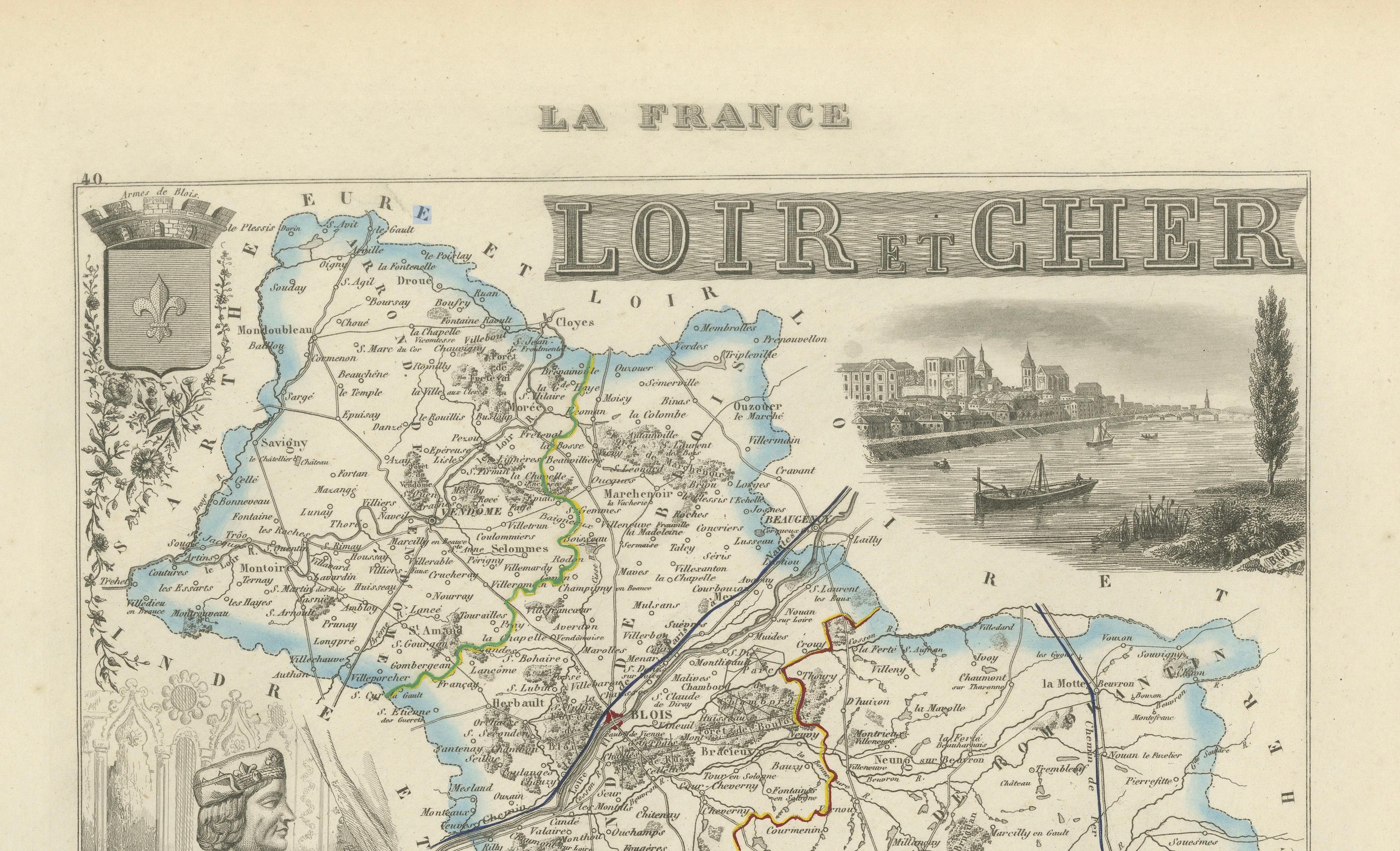
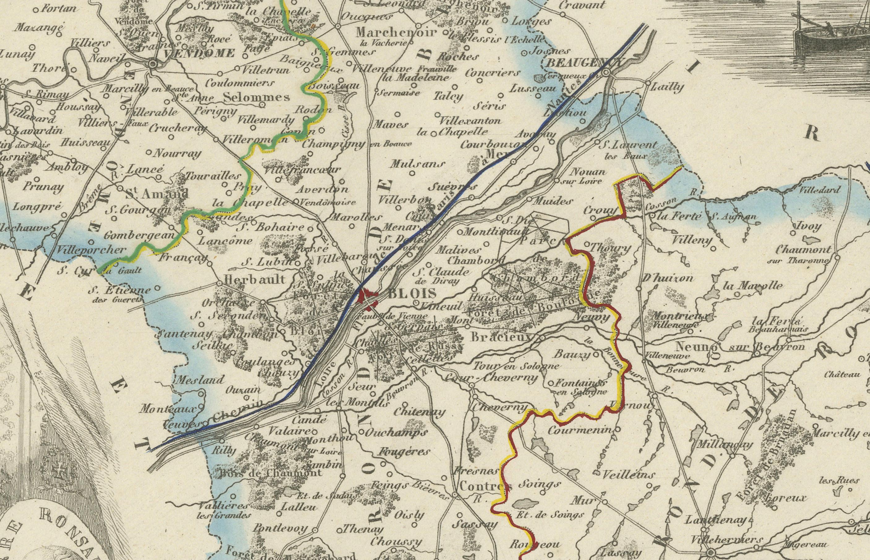
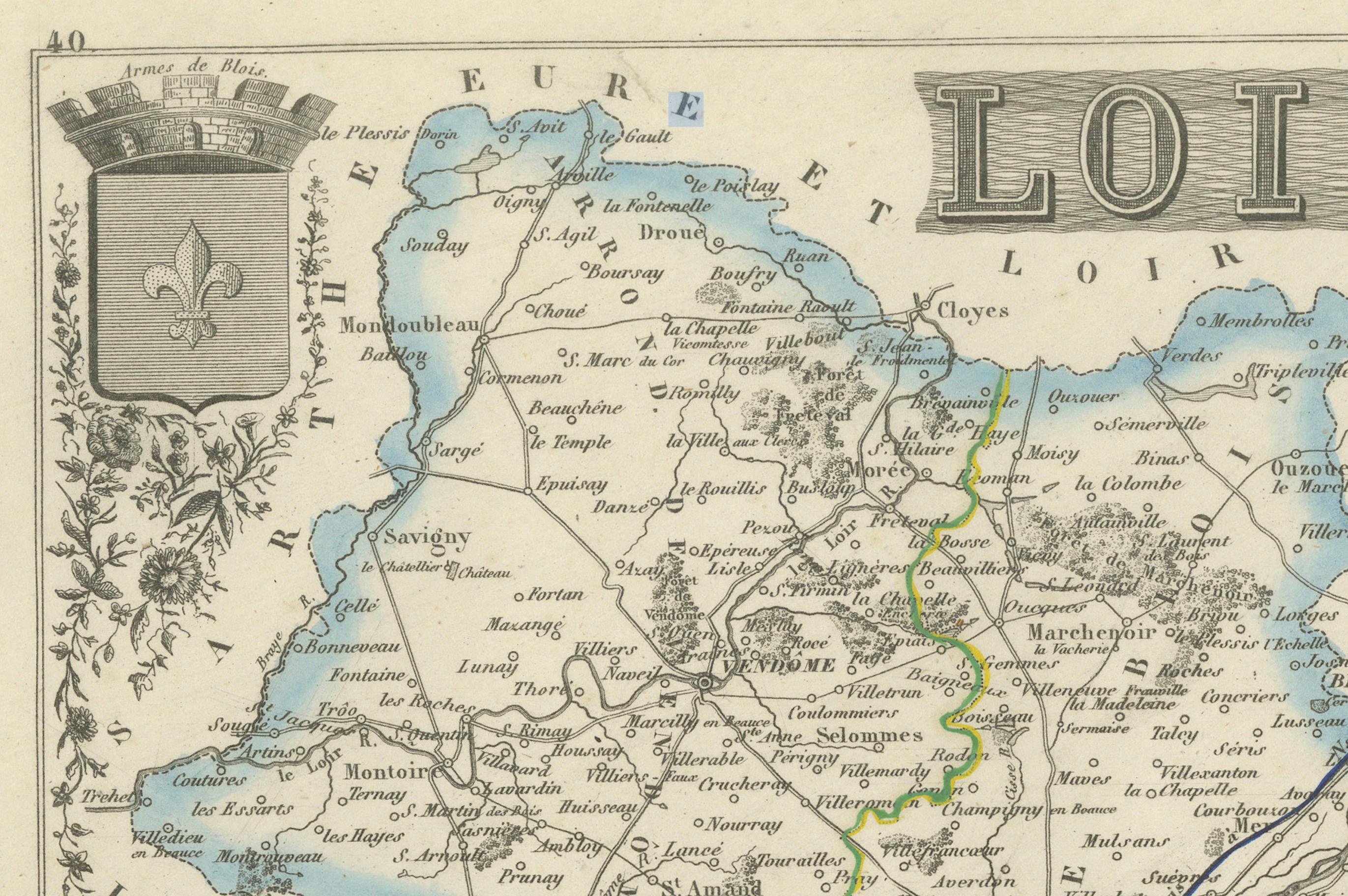
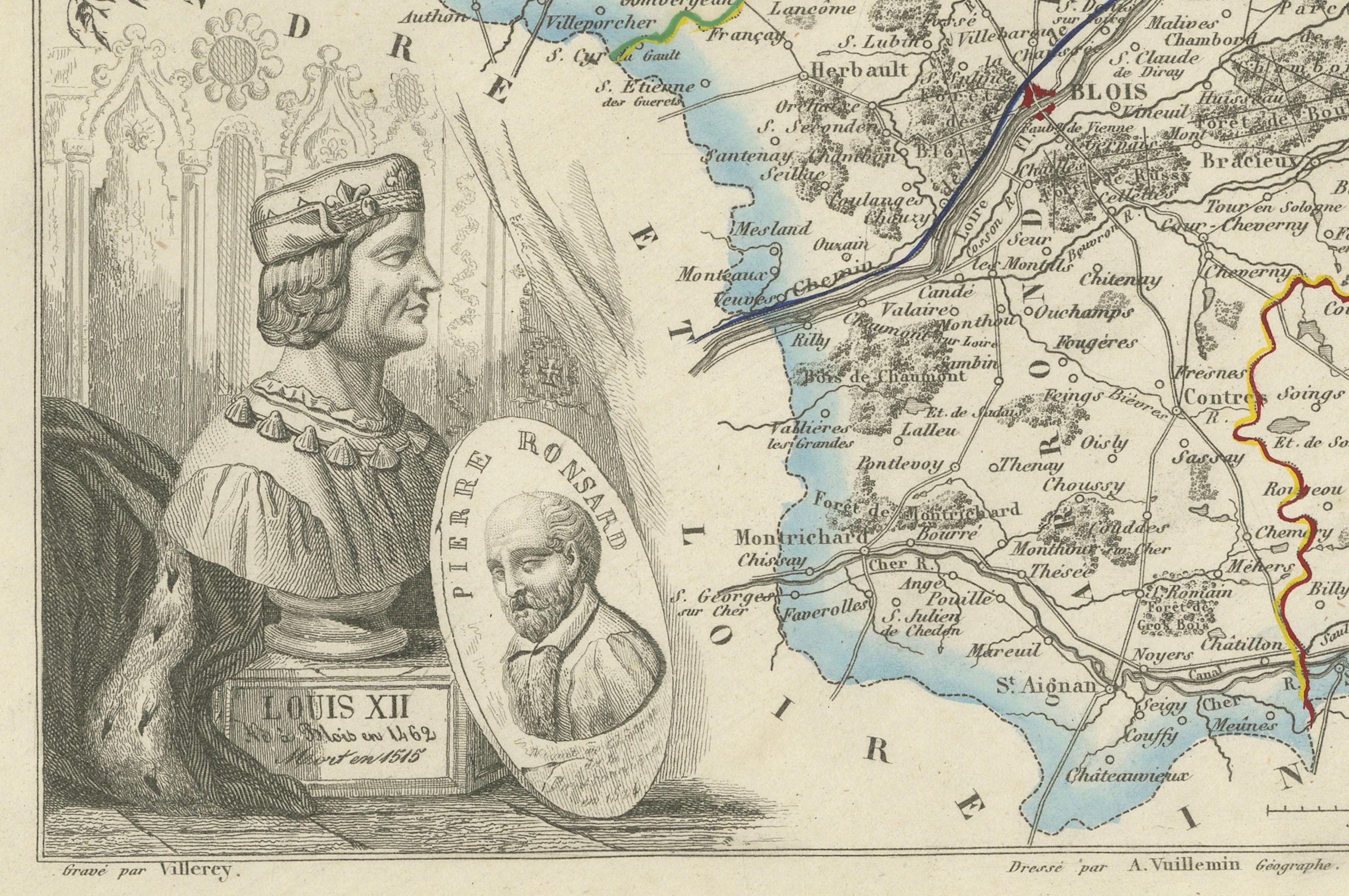
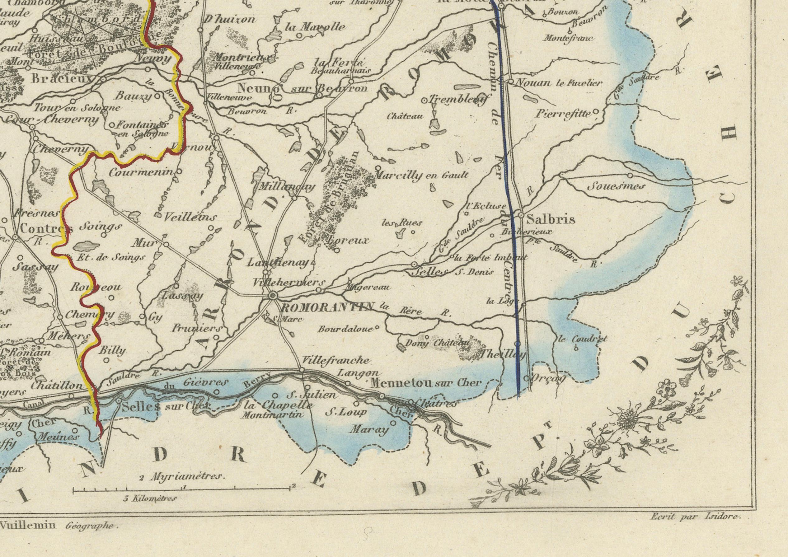
A beautifully engraved 19th-century map of the département of Loir-et-Cher, drawn and engraved by Alexandre Vuillemin. The map shows towns, rivers, roads, and departmental boundaries highlighted with original hand-color.
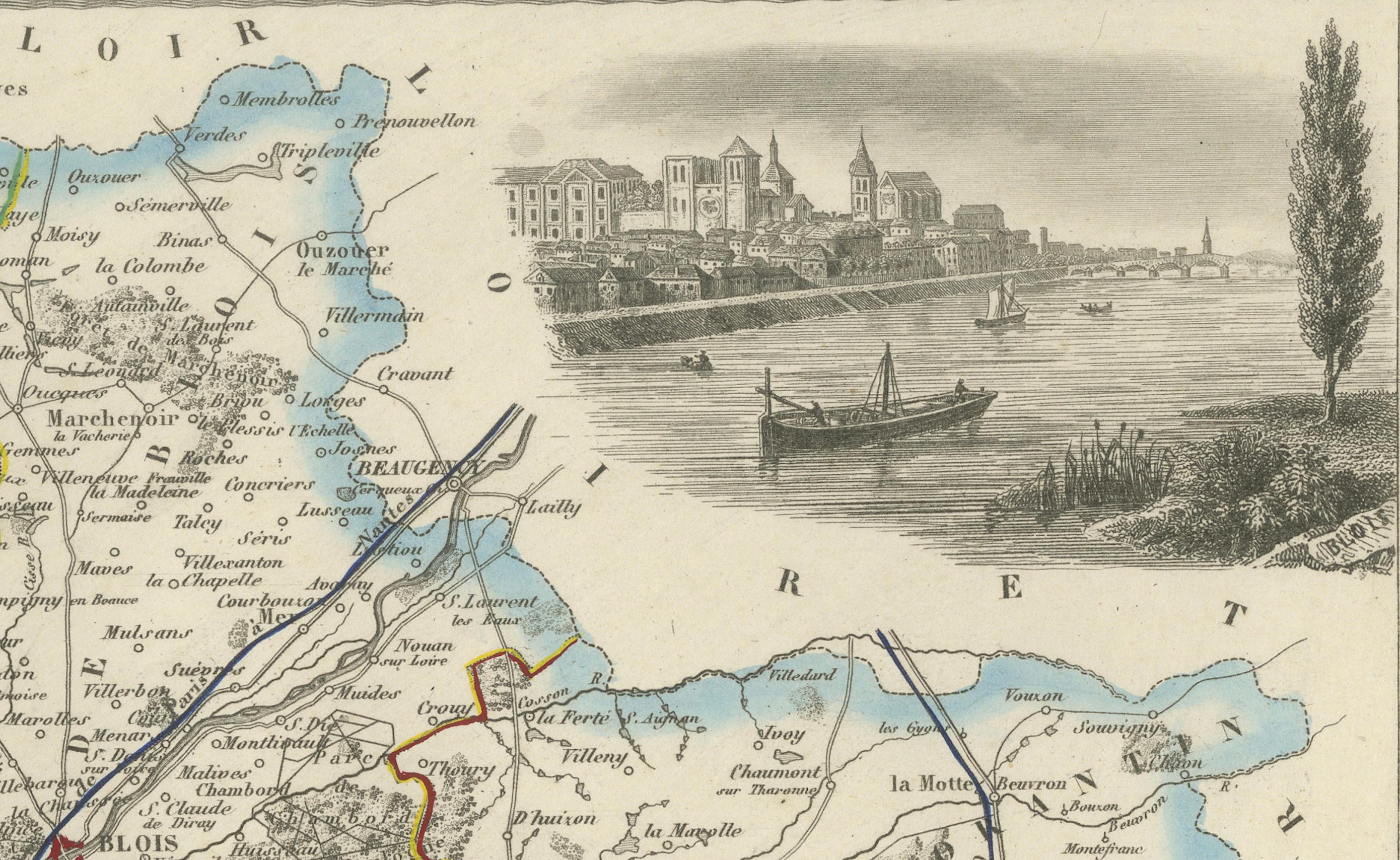
The decorative embellishments are especially notable: on the left, portraits of King Louis XII of France and the poet Pierre Ronsard, both natives of the region. The coat of arms of Loir-et-Cher is depicted in the upper corner, while a finely detailed vignette shows the banks of the Loire River with its picturesque châteaux and river life.
Loir-et-Cher, part of the Centre-Val de Loire region, is historically renowned for its grand Renaissance castles such as Chambord, Cheverny, and Blois, all along the Loire Valley, which has been recognized as a UNESCO World Heritage site. This map not only illustrates the geography of the département but also pays tribute to its cultural and historical legacy.
Alexandre Vuillemin (1812–1880), a French cartographer, produced these département maps with a characteristic blend of precision and decorative flourish, making them highly sought after by collectors today.
Condition report: Very good condition. Strong impression with vivid original hand coloring. Minor toning and faint foxing around the sheet edges, not intruding into the printed area.
Framing tips: A dark wood or black frame with ivory matting would present this map elegantly, allowing the blue hand coloring and engraved portraits to stand out. Adding a gilt fillet would further highlight the decorative elements.
Technique: Engraving with original hand color
Maker: Alexandre Vuillemin, France, mid-19th century