About this sheet
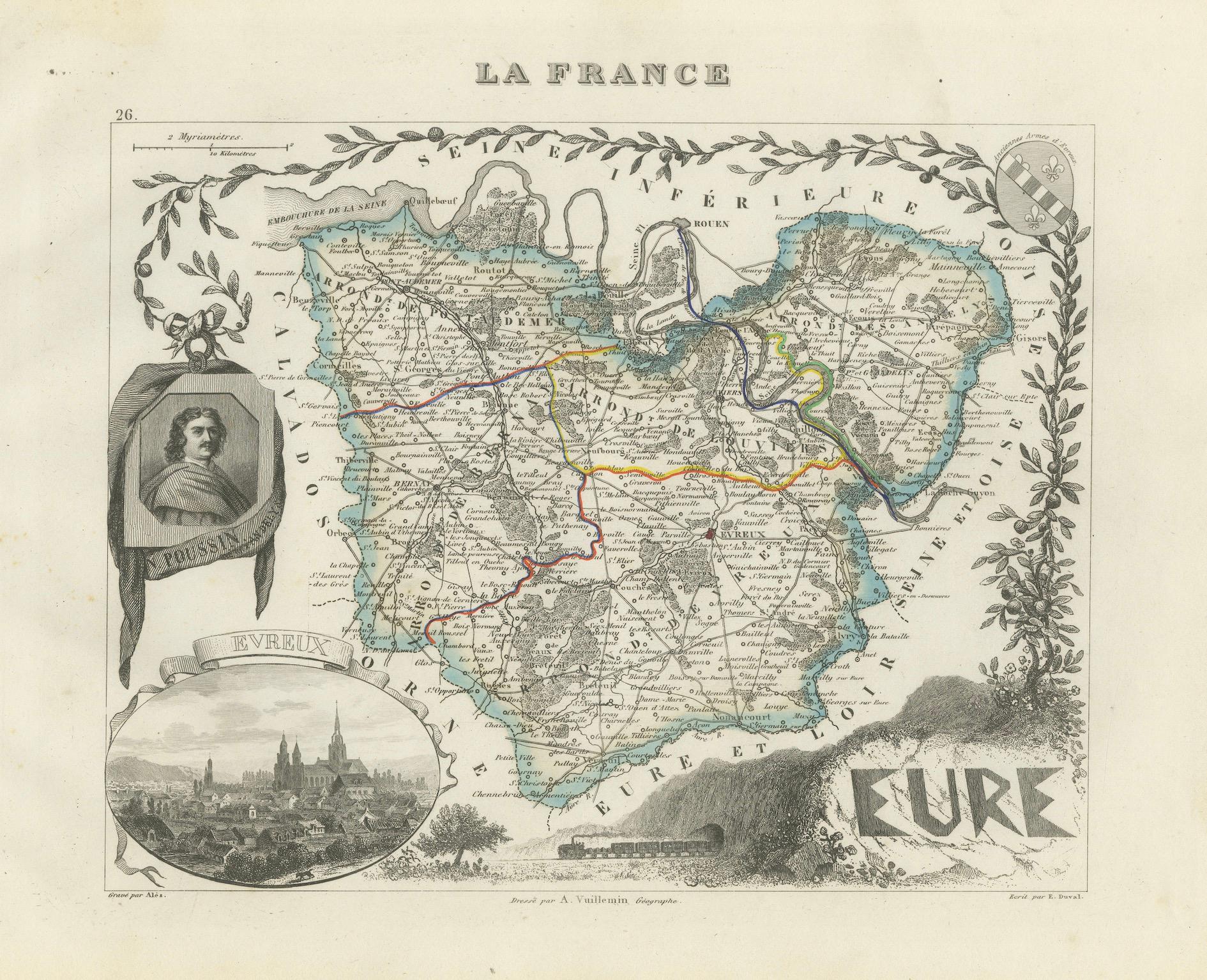
Map of Eure France with Evreux, Poussin and Normandy Countryside, 19th Century
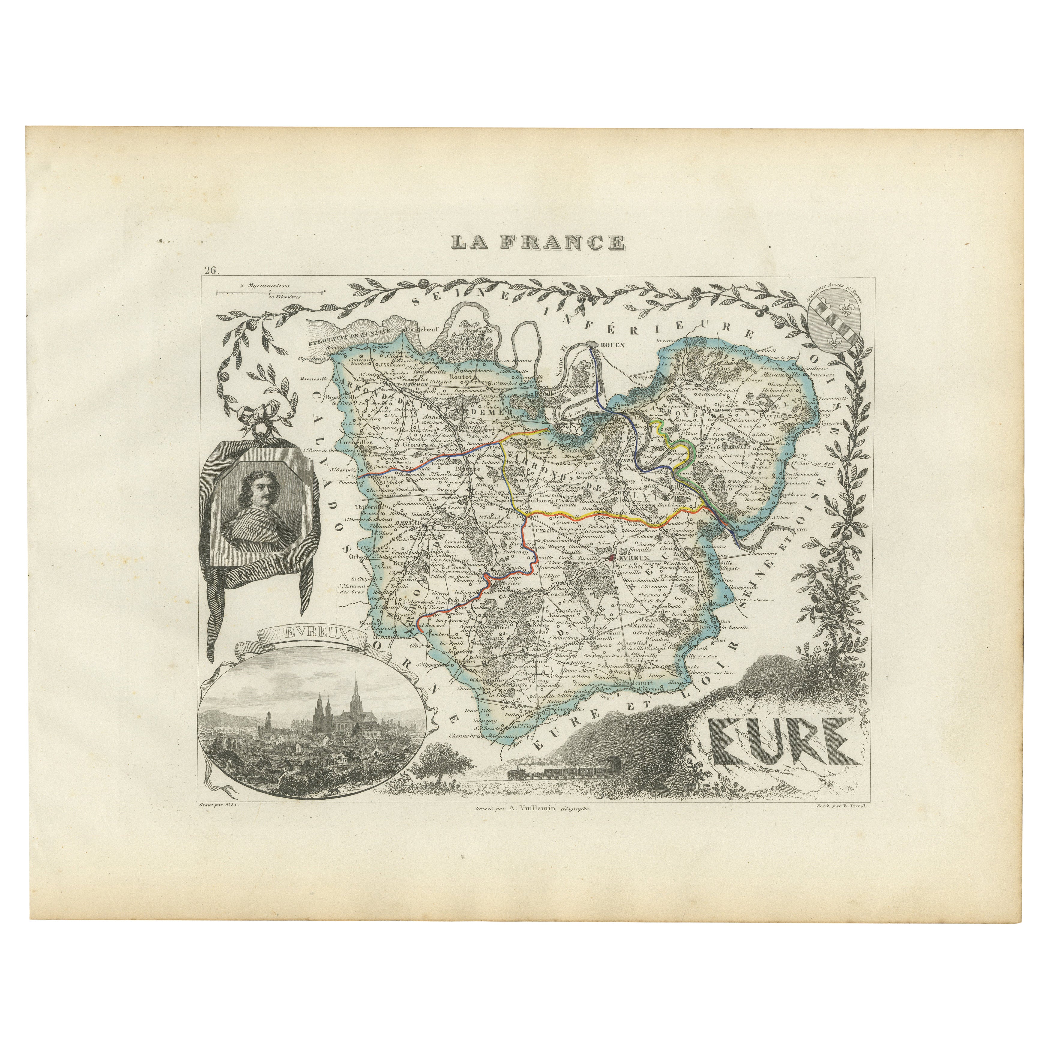
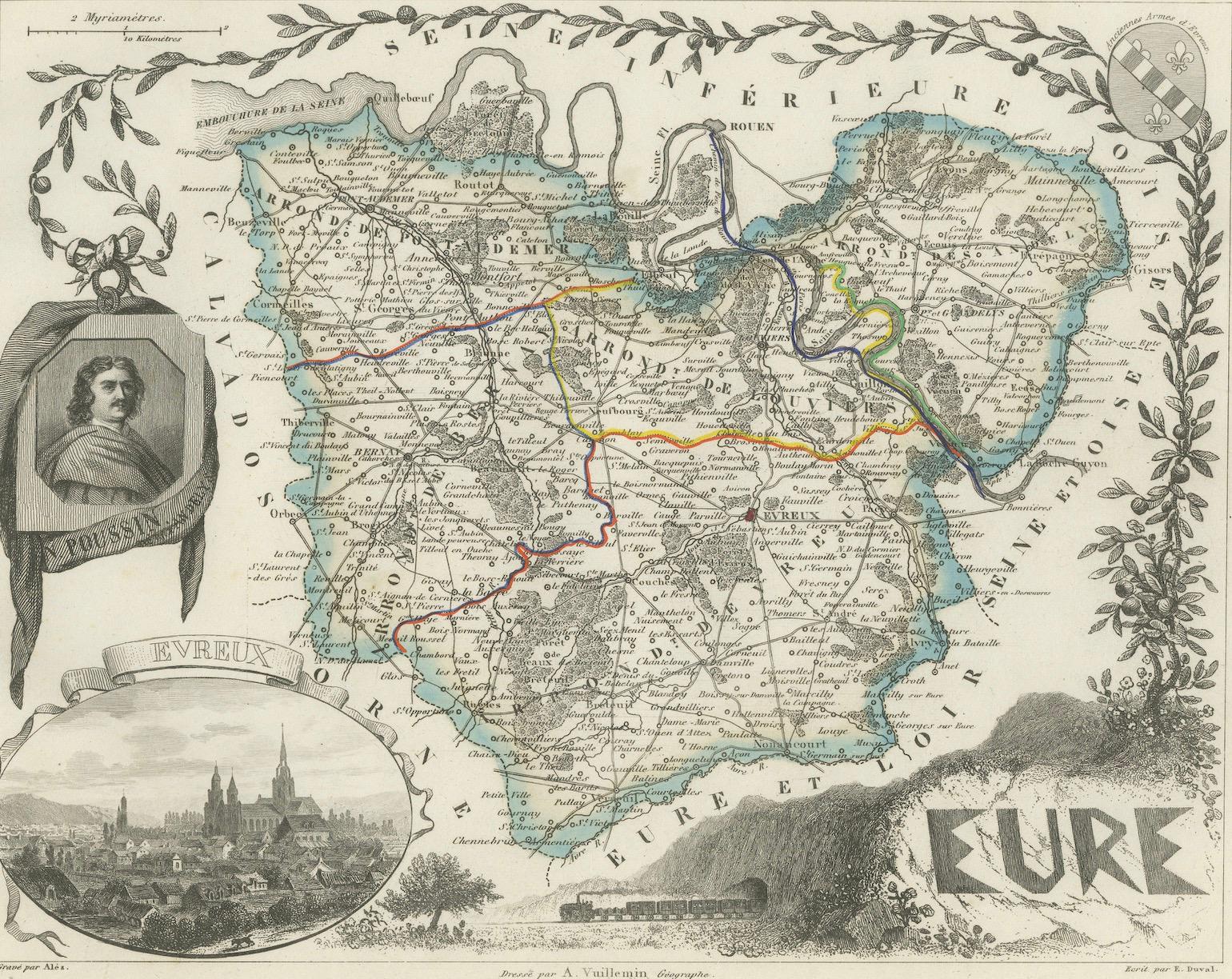
This 19th-century engraved map of the Eure department in the Normandy region of northern France was drawn by Alexandre Vuillemin and published by Migeon in Paris as part of the *Nouvel Atlas Illustré*. The map combines detailed geographic representation with classical decorative flourishes, offering a glimpse into the cultural and natural heritage of this part of France.
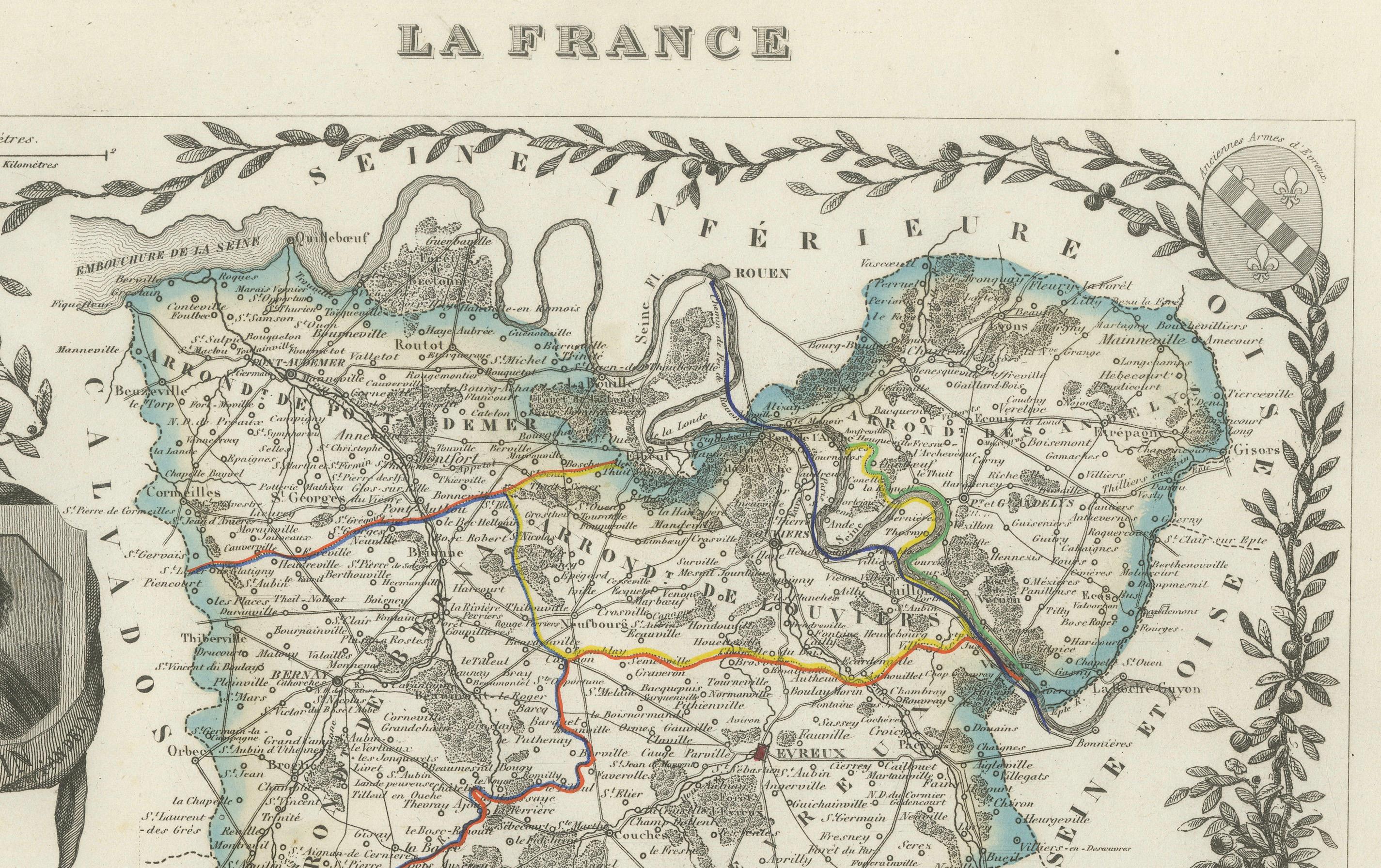
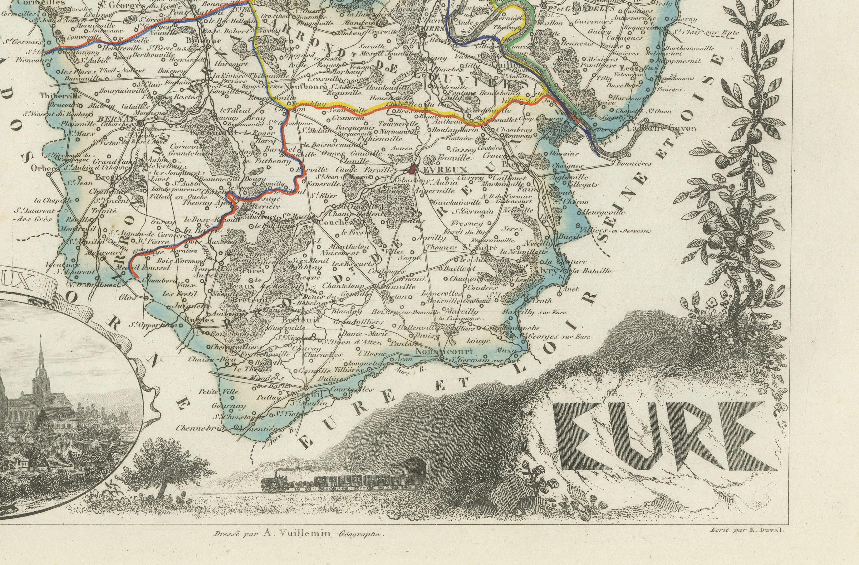
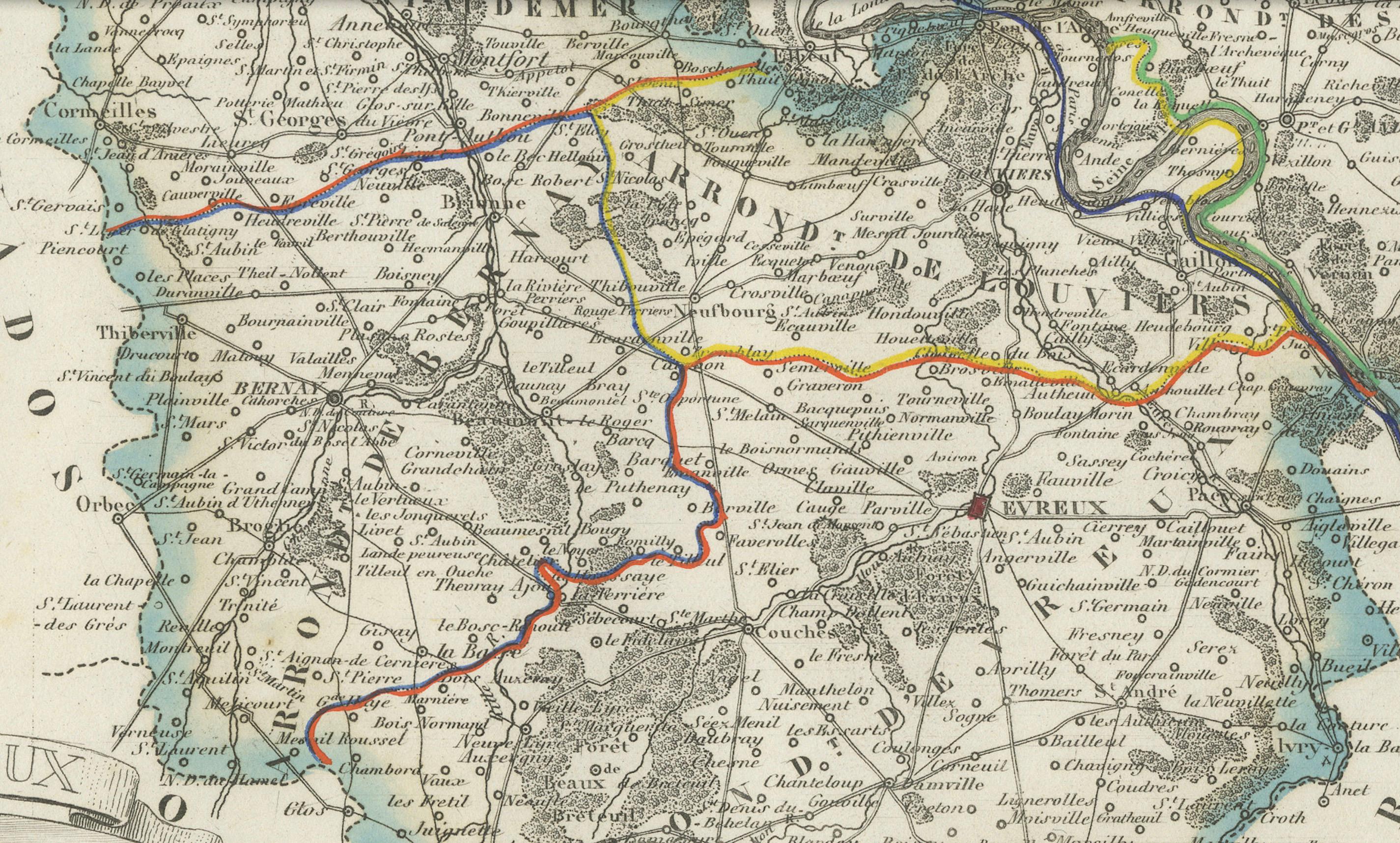
The borders of Eure are highlighted in soft blue hand coloring, with all major towns, rivers, roads, and administrative boundaries carefully engraved. Evreux, the departmental capital, is prominently featured near the center, while other towns such as Vernon, Louviers, Les Andelys, and Bernay are clearly labeled. The river Seine winds through the northeastern section, reflecting Eure’s strategic importance as part of the greater Paris-to-Le Havre corridor.
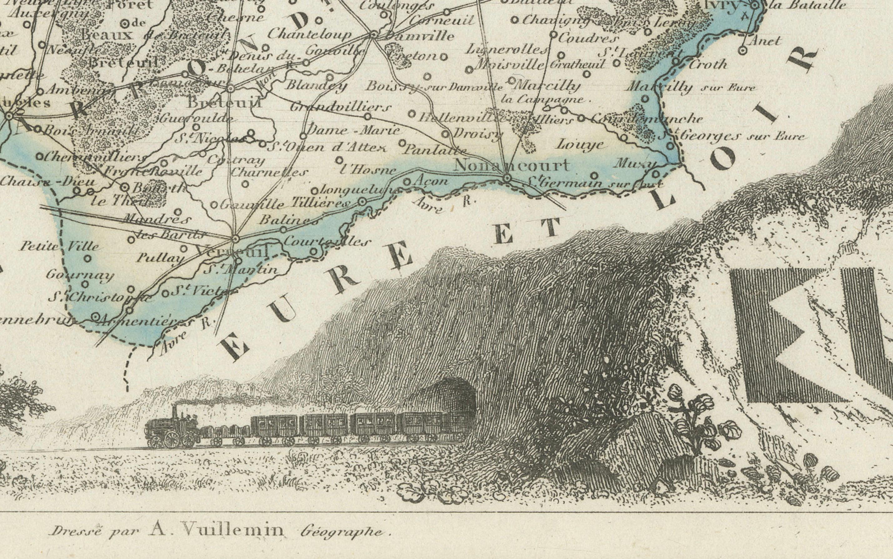
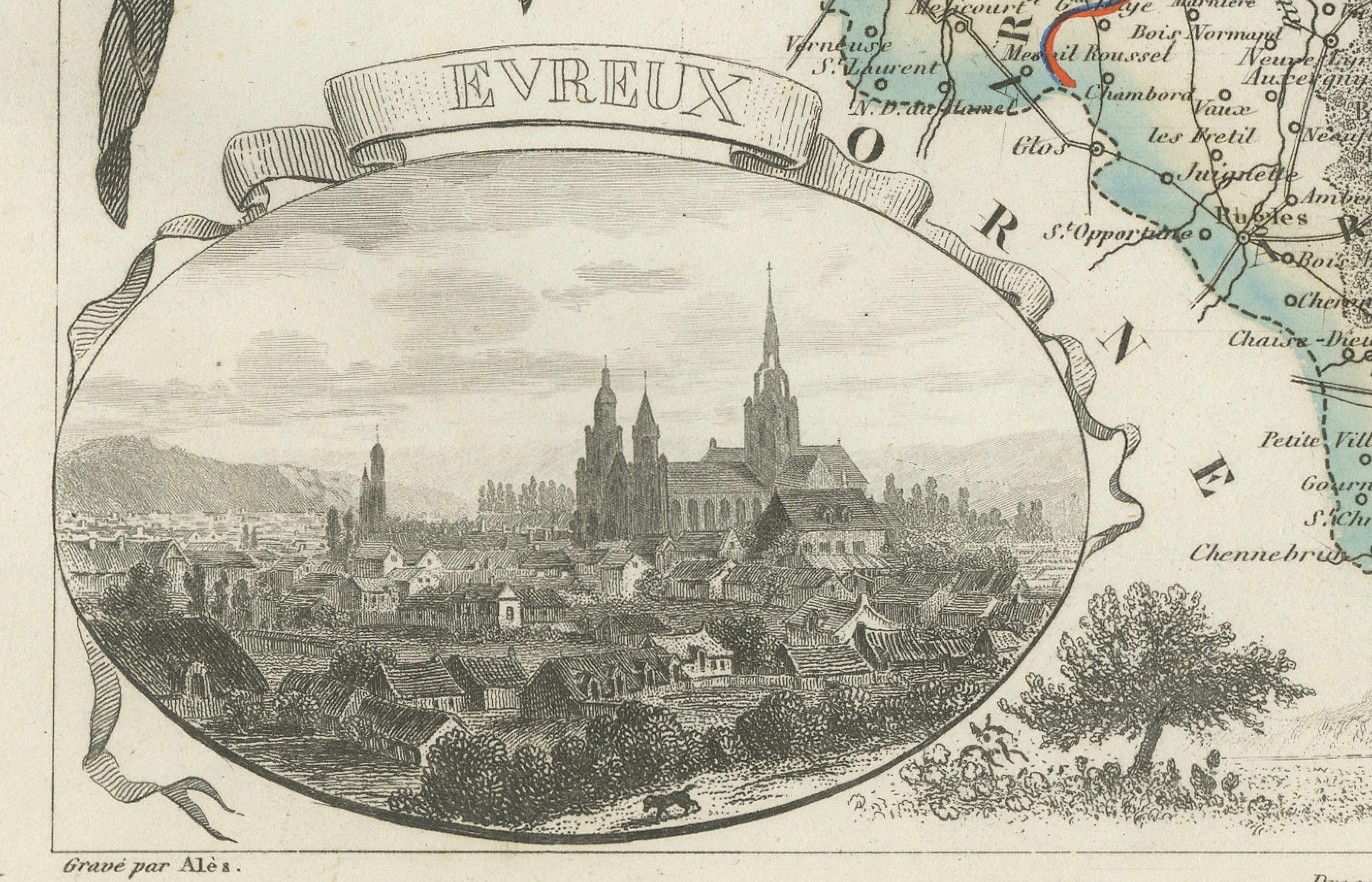
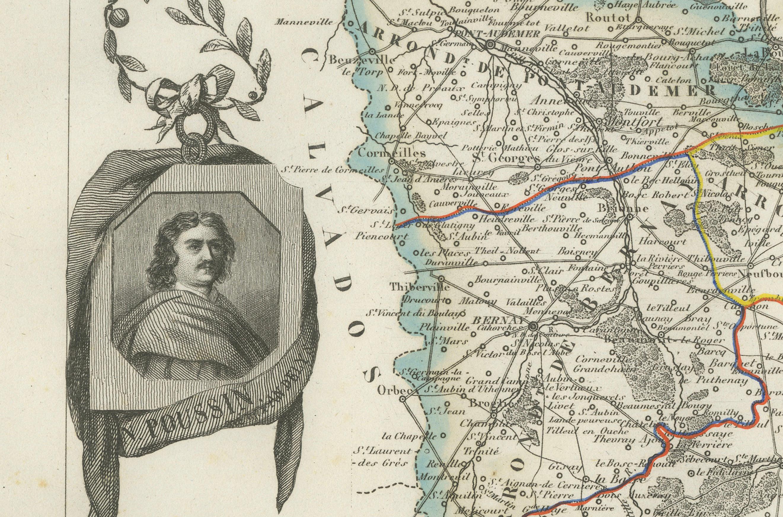
At the lower left is a charming vignette of Evreux, with its cathedral rising above the townscape. A portrait of the 17th-century painter Nicolas Poussin appears in the upper left, celebrating one of France’s greatest classical artists who was born near Les Andelys in Eure. The upper right corner features the departmental coat of arms with a fleur-de-lis and decorative flourishes. The lower edge includes a pastoral landscape evoking the Normandy countryside.
Eure, part of historic Normandy, has long been known for its fertile farmland, riverside villages, and forested areas. Though not a principal wine region, it is deeply associated with apple orchards and cider production, as well as dairy farming and cheese making. Its proximity to Paris and Rouen historically made it an important supplier of agricultural products. Architecturally, the region is rich in Romanesque and Gothic churches, châteaux, and the ruins of medieval fortresses.
This map is a wonderful example of decorative French cartography, rich in both geographical detail and cultural references. It appeals to collectors with interests in Normandy, French regional history, or antique engravings with artistic flair.
Condition summary:
Very good antique condition. Minor foxing and slight toning mostly confined to the outer margins. Engraved detail is crisp and the hand coloring remains clear and intact.
Framing tips:
Best suited to a medium oak or black frame. Pair with a neutral cream or pale blue mat to complement the soft border coloring and engraved vignettes. Use UV-protective glass to preserve the print and enhance clarity.