Black Friday starts Friday 20 November: up to 30% off, plus free FedEx shipping on qualifying orders →
Orders placed from 15 to 30 November ship from 1 December, in time for Christmas. Our shipping partner: InXpress.
Maps & PrintsBartele Gallery · Langweer
Home / Antique Maps / Asia / South-East Asia / East Indies

Antique Maps of East Indies

233 original sheets
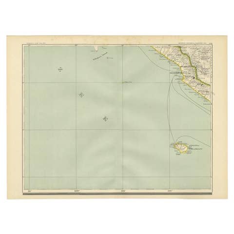
Antique Map of the Region of Bengkulu in Indonesia, 1900
1900 · € 93
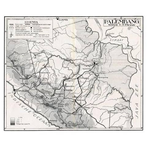
Antique Map of the Palembang Area, c.1900
1900 · € 73
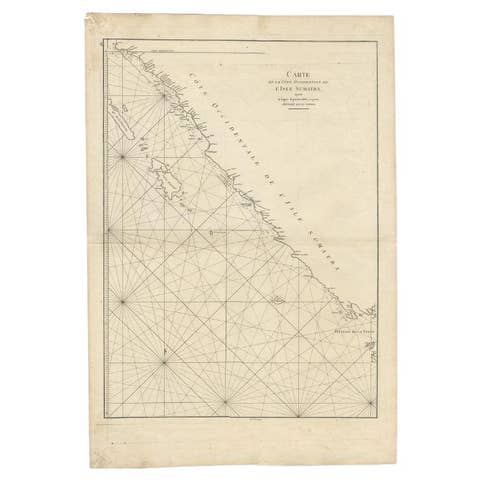
Antique Map of the South-Western Coast of Sumatra by De la Haye, c.1780
1780 · € 405
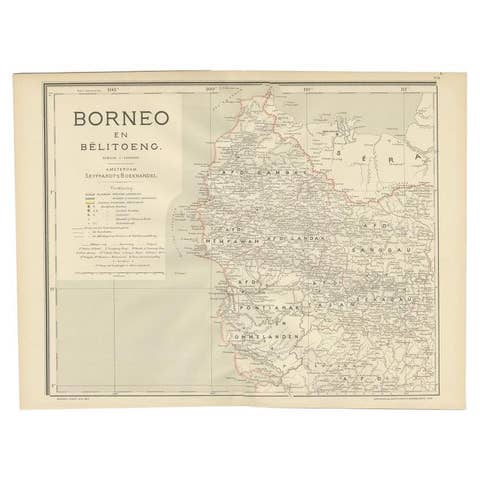
Antique Map of West Kalimantan, Borneo, Indonesia, 1900
1900 · € 259
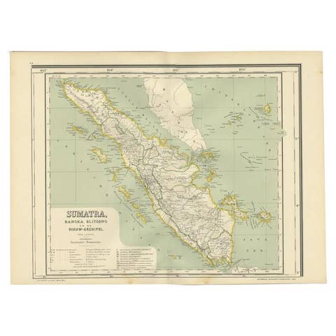
Antique Map of West Sumatra, Indonesia, 1900
1900 · € 290
Antique Plan of Batavia, Nowadays Jakarta, Indonesia, 1780
1780 · € 1 848
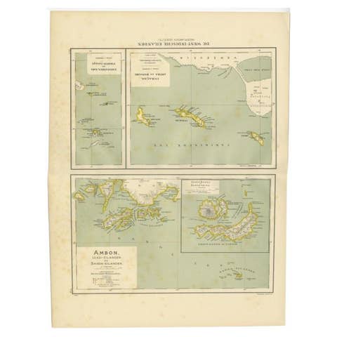
Antique Map of the West Indies and Ambon in Indonesia, 1900
1900 · € 140
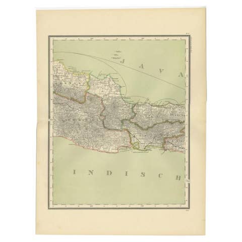
Antique Map of Part of Java, Indonesia, 1900
1900 · € 290
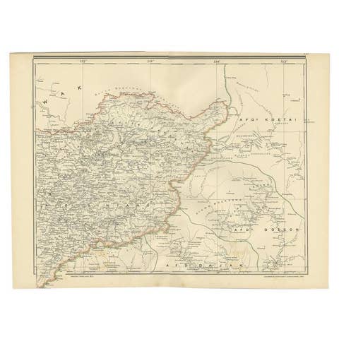
Antique Map of West Kalimantan (Schwaner Mountains), Borneo, Indonesia, 1900
1900 · € 330
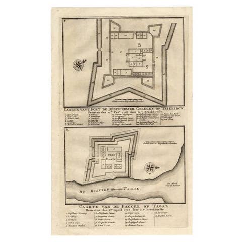
Antique Print of the Fortress on Cheribon or Cirebon, Java, Indonesia, 1726
1726 · € 330
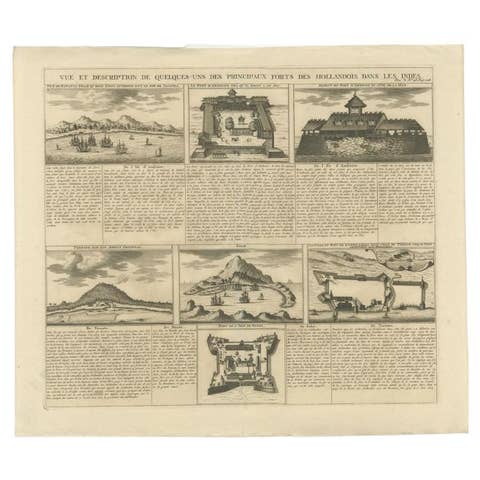
Antique Print of Forts and Views of the East Indies or Nowadays Indonesia, 1719
1719 · € 490
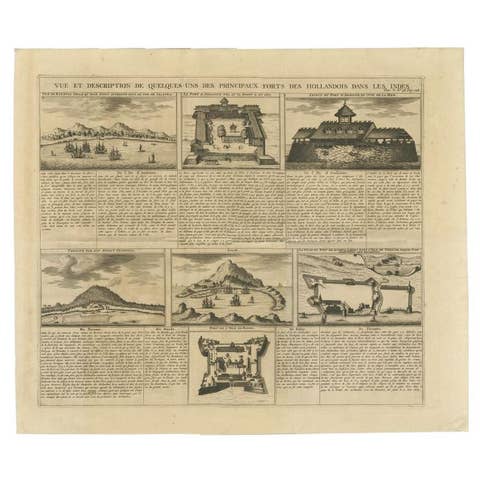
Antique Print of Forts and Views of the East Indies by Chatelain (1719)
1719 · € 490
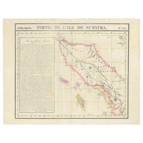
Detailed Antique Map of Northern Sumatra, Indonesia, circa 1825
1825 · € 420
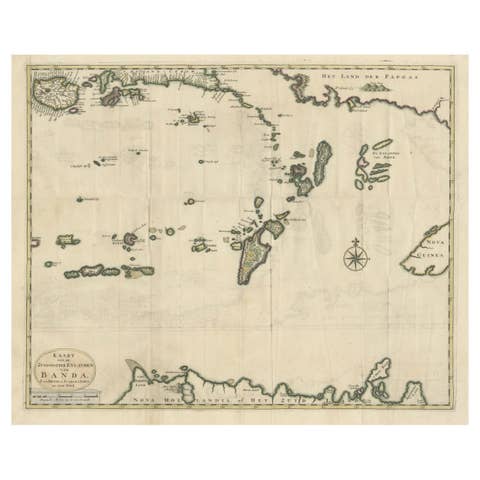
Old Antique Map of the Banda Islands (Southeast), Indonesia & Northern Australia
€ 699
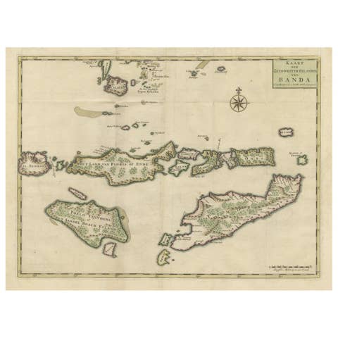
Old Antique Map of the Sumbawa, Flores, Timor in the Banda Region of Indonesia
€ 665
Antique Map of Bonthain Bay, Sulawesi, Celebes
€ 220
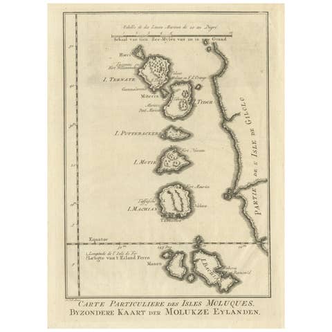
Original Antique Map of the Maluku Islands or Moluccas
€ 190
Antique Map of the Maluku Islands or Moluccas, Indonesia
€ 150
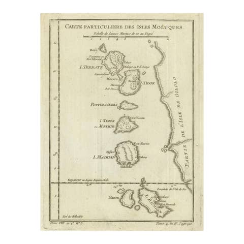
Antique Map of the Moluccas (Maluku Islands), Indonesia – Bellin, 18th Century
€ 110
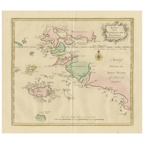
Antique Map extending from the Spice Islands to the west of Papua New Guinea
€ 490
Authentic Old Map of Sumatra, Malaysia and Singapore, 1745
1745 · € 480
Renaissance Mapping of Sumatra: Featuring Singapore in Münster’s Woodcut, c.1590
1590 · € 1 450
Colonial Cartography: The Banda Islands - the Epicenter of the Spice Trade, 1818
1818 · € 840
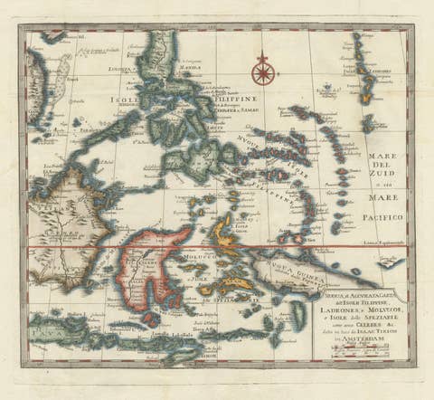
Antique Map of the Philippines & Eastern Indonesia: Spice Islands by Tirion 1738
1738 · € 739
1606 Hand-Colored Woodcut Map of Sumatra from Ramusio’s Delle Navigationi
1606 · € 460
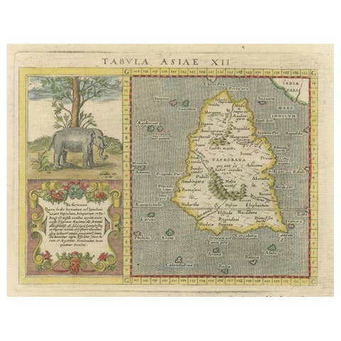
1621 Ptolemy & Magini Map of Taprobana (Sumatra) with Elephant Inset
1621 · € 620
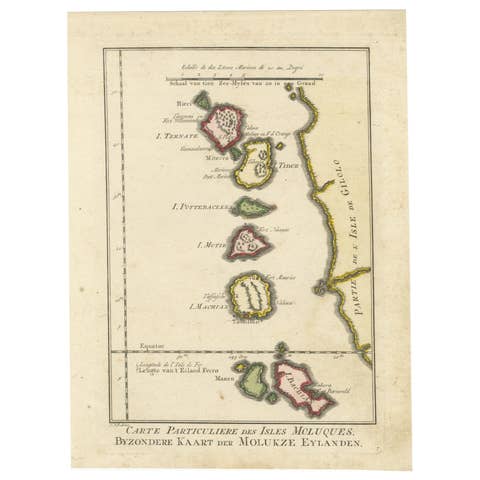
Old Map of the Spice Islands, Moluccas by Bellin, Published in 1771
1771 · € 200
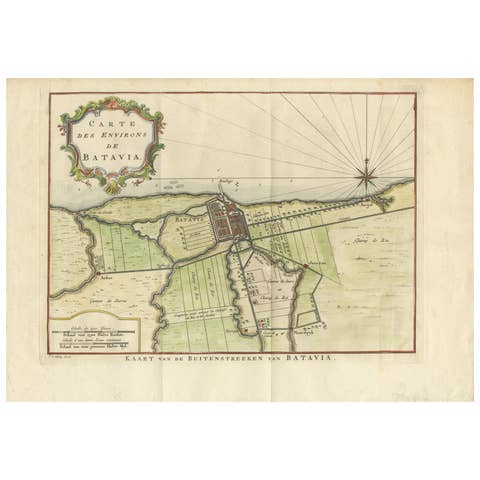
Map of Batavia’s Surroundings with Early Reference to Jakarta, Indonesia, c.1770
1770 · € 440
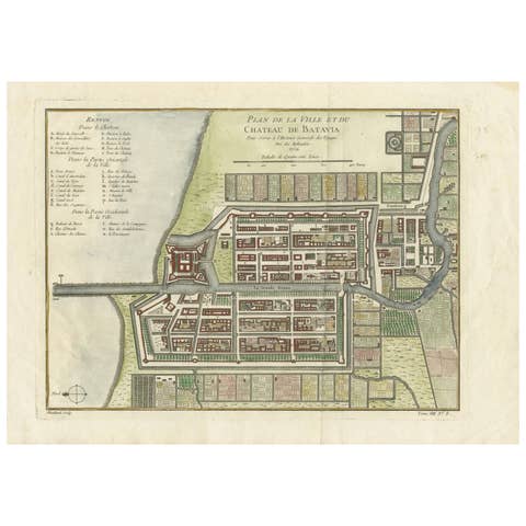
Hand-Colored 1750 Plan of Batavia, Colonial Jakarta, Indonesia by Jacques Bellin
1750 · € 640
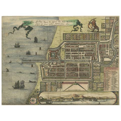
Rare 17th Century Map of Batavia and Castle on Java by Isaac de l'Obel
€ 660
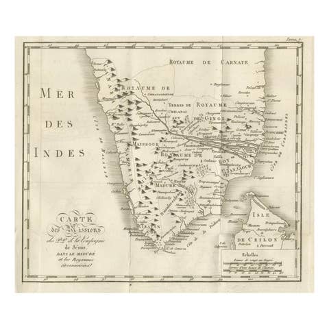
Antique Map of the Jesuit Missions in Madurai and Surrounding Kingdoms, c.1760
1760 · € 440
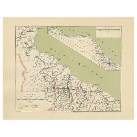
Deli Railway System Map, East Sumatra — Deli Spoorweg Maatschappij, c.1910
1910 · € 330
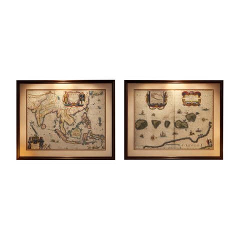
Antique Blaeu Maps, Indonesia & Moluccas – VOC Era, c.1642
1642 · € 9 800
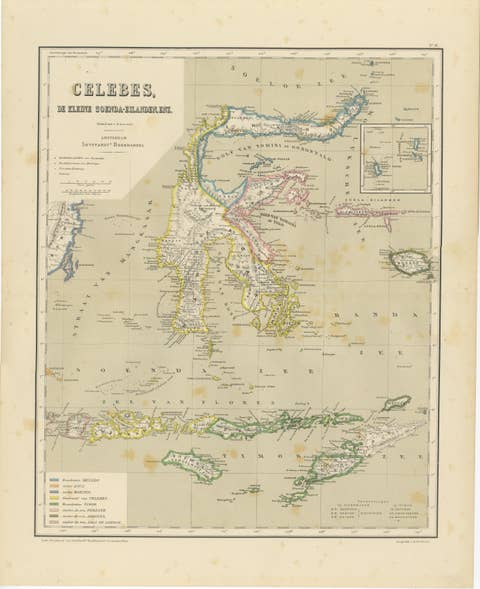
Antique Colonial Map of Celebes Sulawesi & Lesser Sunda Islands, 1884
1884 · € 290
Antique Map of Halmahera, Ternate, Tidore,  Moluccas by Dornseiffen - 1884
Antique Map of Halmahera, Ternate, Tidore, Moluccas by Dornseiffen - 1884
1884 · € 290
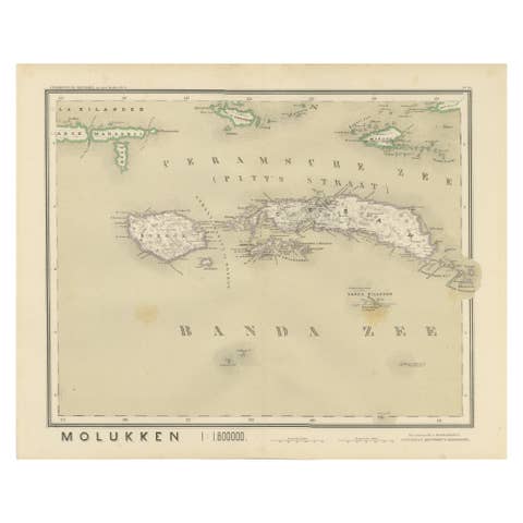
Antique Map of Ceram, Ambon, Banda, Buru, Moluccas by Dornseiffen - 1884
1884 · € 290
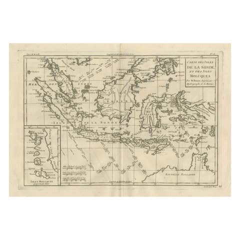
Antique East Indies Map by Rigobert Bonne, Copper Engraving, 1780
1780 · € 350
Elegant 18th Century Map of Southeast Asia, Siam, Sumatra & Java by Bonne - 1787
1787 · € 580
Antique Map Philippines – Moluccas, Celebes, Spice Islands – Tirion, c.1738
1738 · € 690
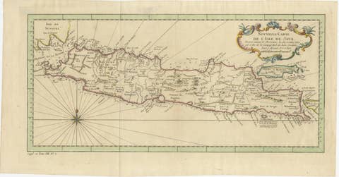
Antique Map of Java Indonesia, VOC Period, Decorative Cartouche, c.1750
1750 · € 549
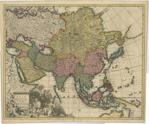
Decorative Antique Map of Asia and the East Indies, circa 1720
1720 · € 1 150

Your favorites

Saved in this browser. Email the list to yourself to keep it on any device.

We use your email to send this list and, only if you tick the box and confirm, for occasional new arrivals. Every email has an unsubscribe link. Bartele Gallery, the Netherlands.

Powered by SiteKeys