Black Friday starts Friday 20 November: up to 30% off, plus free FedEx shipping on qualifying orders →
Orders placed from 15 to 30 November ship from 1 December, in time for Christmas. Our shipping partner: InXpress.
Maps & PrintsBartele Gallery · Langweer
Home / Antique Maps / Asia / South-East Asia / East Indies

Antique Maps of East Indies

31 original sheets
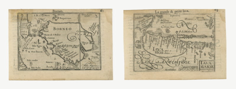
Borneo and Java, Miniature Maps by Petrus Kaerius, Pair, circa 1600
circa 1600 · € 780
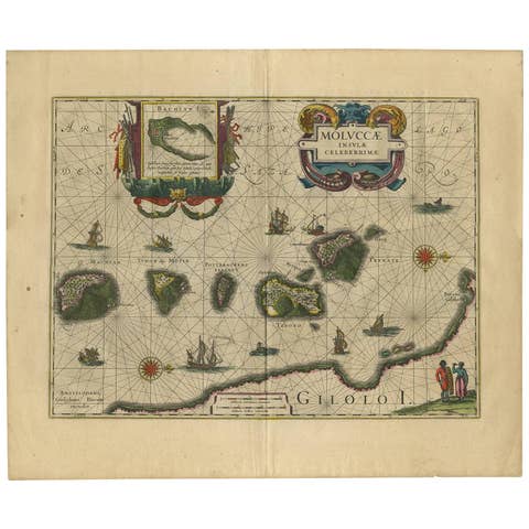
Antique Map of the Spice Islands 'Moluccas', Indonesia by W. Blaeu, circa 1640
1640 · € 1 400
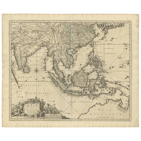
Antique Map of Southeast Asia 'India, Indonesia' by N. Visscher, circa 1670
1670 · € 1 950
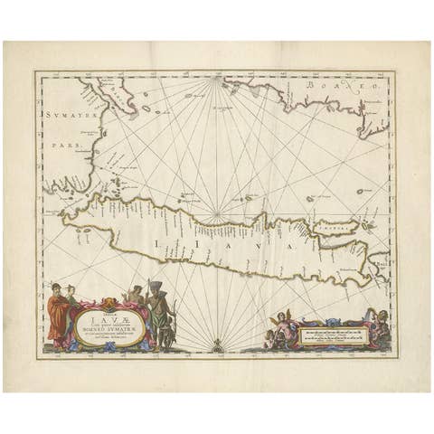
Antique Map of Java by Janssonius, circa 1650
1650 · € 2 950
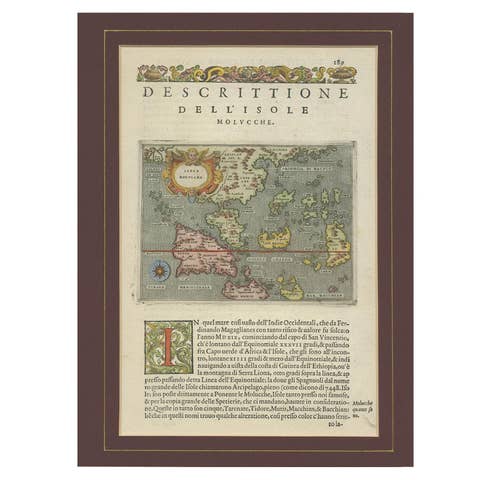
Antique Map of the Moluccas by Porcacchi, circa 1620
1620 · € 720
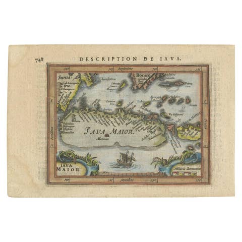
Antique Miniature Map of Java by Bertius/Hondius '1618'
1618 · € 550
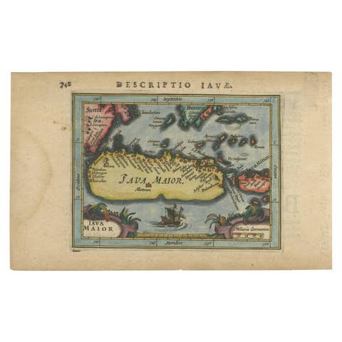
Antique Miniature Map of Java by Bertius '1618'
1618 · € 650
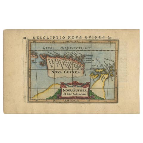
Antique Miniature Map of New Guinea by Bertius, '1618'
1618 · € 650
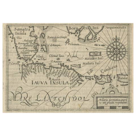
Rare Small Map of Sumatra, Java, Borneo, Macassar, Madura, Bali, 1614
1614 · € 750
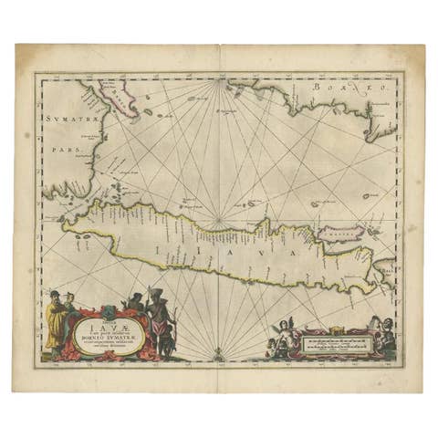
Antique Map of Java and Part of Borneo, Indonesia, c.1657
1657 · € 2 750
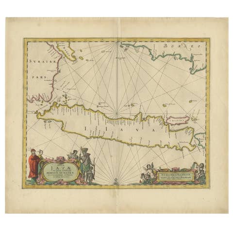
Antique Map of the Island Java, Indonesia, c.1650
1650 · € 3 250
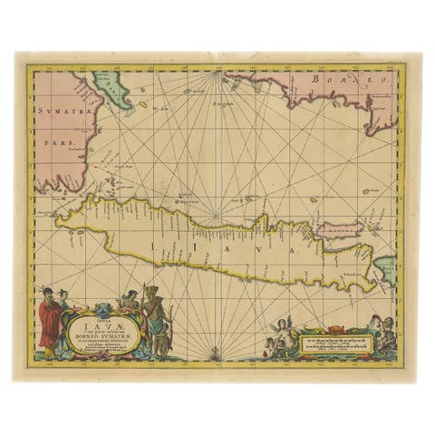
Antique Map of Java in The Dutch East Indies, Now Indonesia, c.1690
1690 · € 2 750
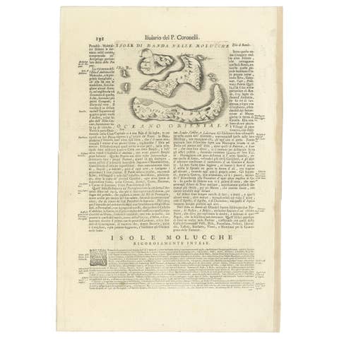
Antique Map of the Banda Islands or Spice Islands, Moluccas, Indonesia, 1697
1697 · € 450
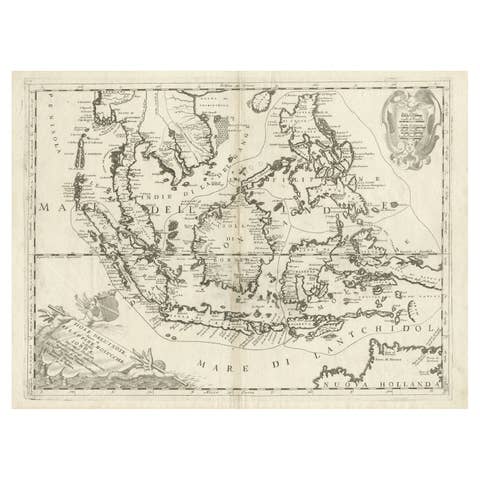
Original Antique Map of the Philippines, Malaysia, Indonesia, Singapore, c.1690
1690 · € 2 250
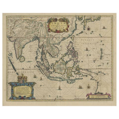
Original Antique Hand-Colored Map of The East Indies and Southeast Asia, c.1644
1644 · € 2 500
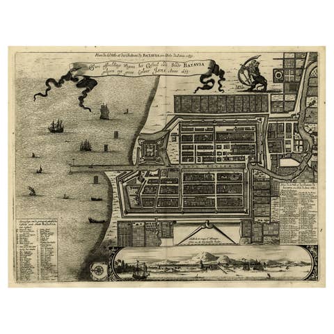
Antique Map of Batavia, Dutch East Indies, Nowadays Jakarta, Indonesia, ca.1669
1669 · € 1 350
Map of Southeast Asia, Extending from India to Tibet & Japan to New Guinea, 1640
1640 · € 2 650
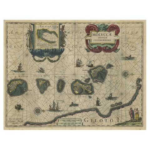
Decorative Map of the Spice Islands in the Mollucas, Indonesia, ca.1640
1640 · € 1 150
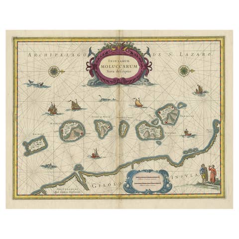
Beautiful Antique Map of the Moluccas or Spice Islands, Indonesia, ca.1650
1650 · € 740
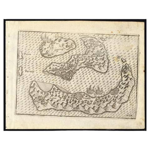
Antique Map of the Banda Islands by Commelin, 1646
1646 · € 353
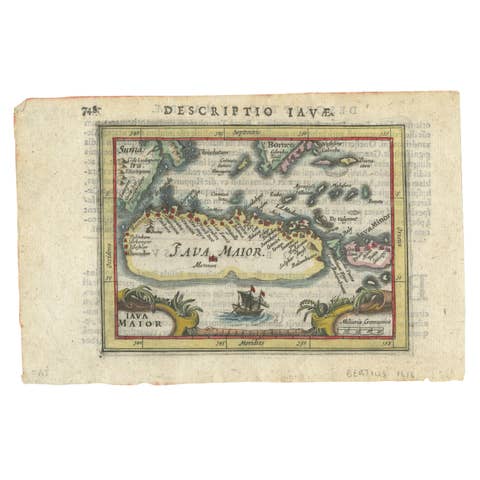
Rare 16th Century Original Handcolored Miniature Map of Java, Indonesia, 1616
1616 · € 490
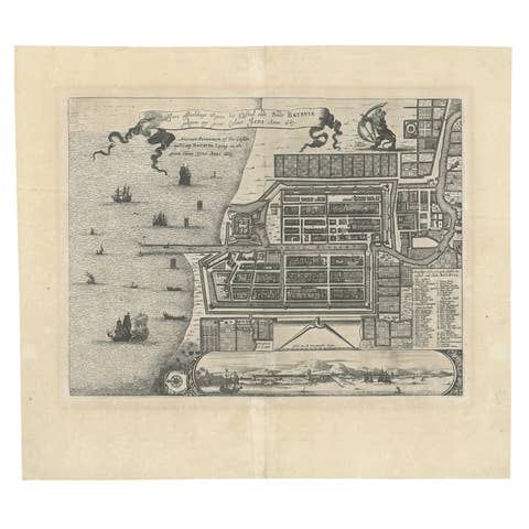
Antique Map of Batavia 'Jakarta', Indonesia by Montanus, circa 1669
1669 · € 1 250
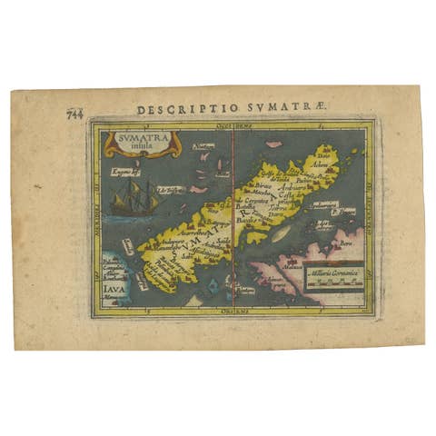
1616 Bertius Map of Sumatra, Singapore and the Straits of Malacca
1616 · € 840
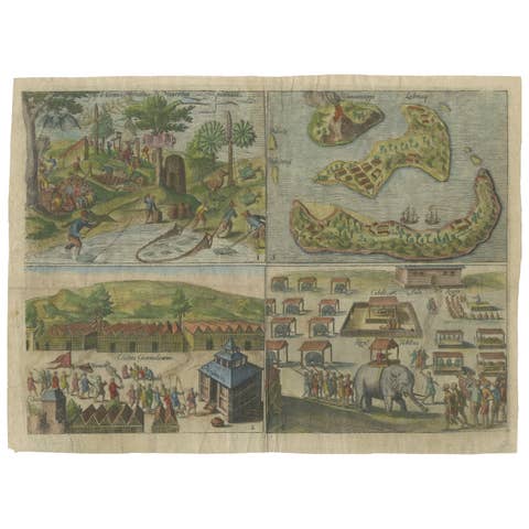
Mauritius, Banda Islands, Ternate and Tuban – Orlers, Leiden 1610
1610 · € 340
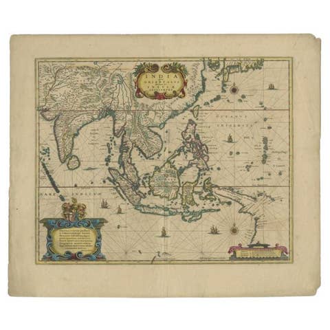
Original Antique Map of the East Indies (Indonesia) by Janssonius, c.1644
1644 · € 2 500
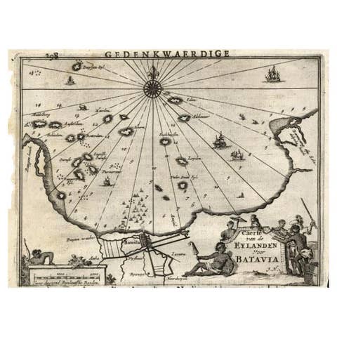
Antique Map of the Islands Near Batavia, Capital of the Dutch East Indies, 1682
1682 · € 302
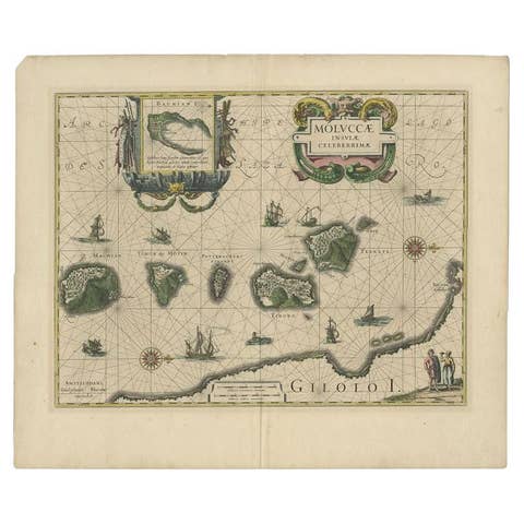
Antique Map of the Maluku Islands by Blaeu, c.1640
1640 · € 1 169
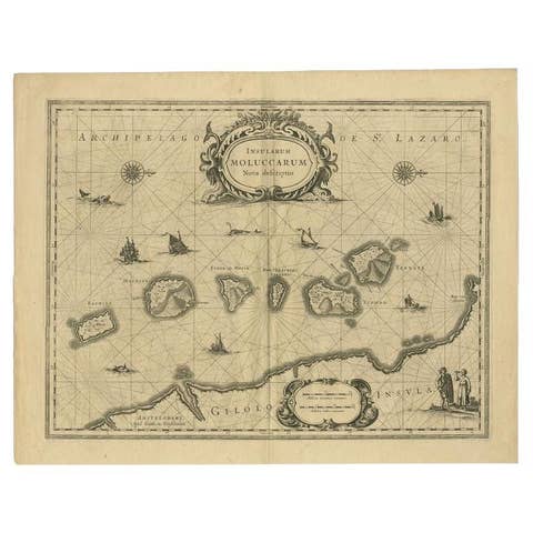
Antique Map of the Moluccas in Indonesia by Janssonius, C.1650
1650 · € 481
1606 Hand-Colored Woodcut Map of Sumatra from Ramusio’s Delle Navigationi
1606 · € 460
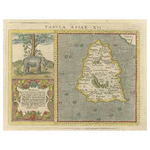
1621 Ptolemy & Magini Map of Taprobana (Sumatra) with Elephant Inset
1621 · € 620
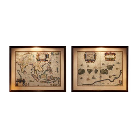
Antique Blaeu Maps, Indonesia & Moluccas – VOC Era, c.1642
1642 · € 9 800

Your favorites

Saved in this browser. Email the list to yourself to keep it on any device.

We use your email to send this list and, only if you tick the box and confirm, for occasional new arrivals. Every email has an unsubscribe link. Bartele Gallery, the Netherlands.

Powered by SiteKeys