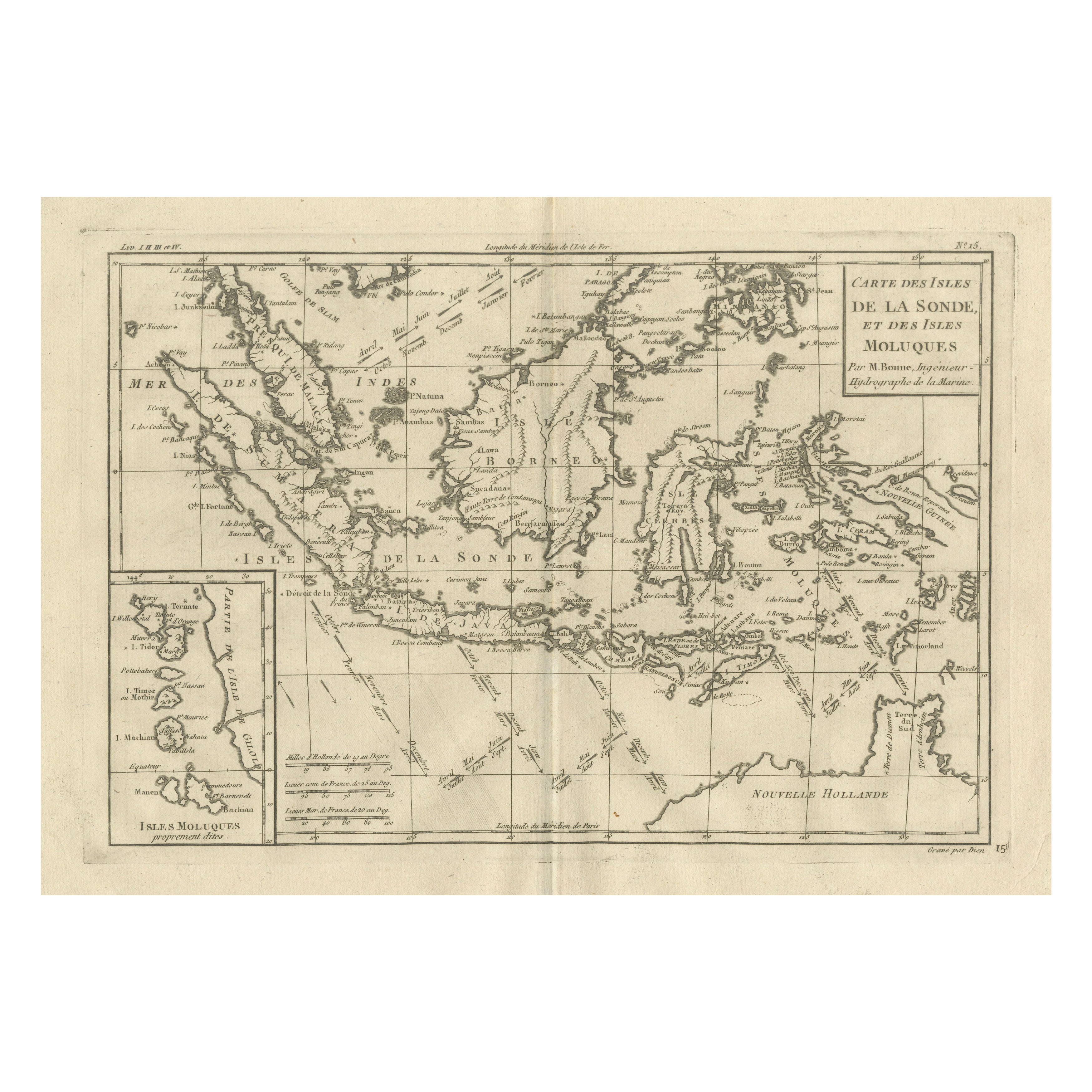
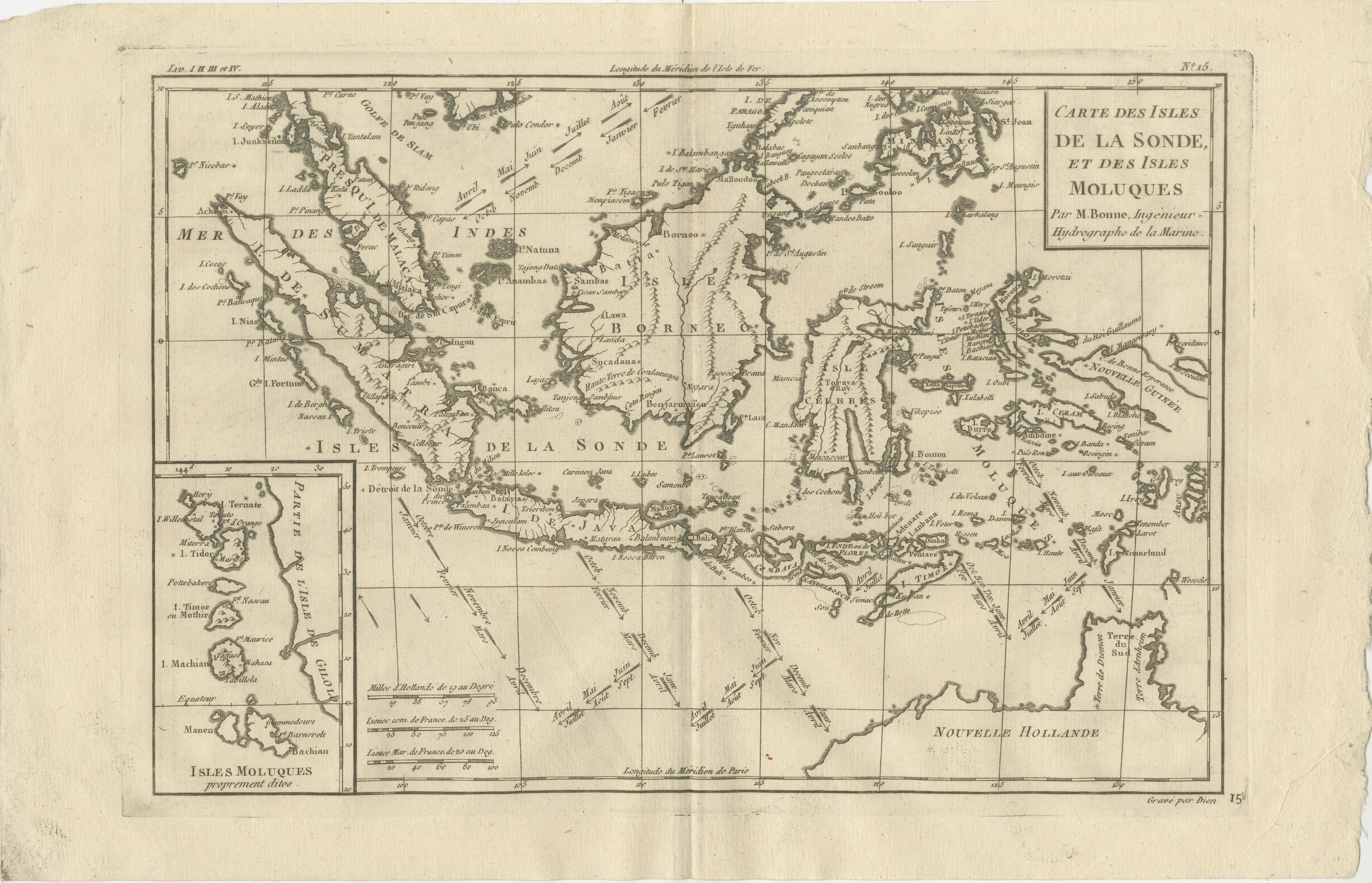
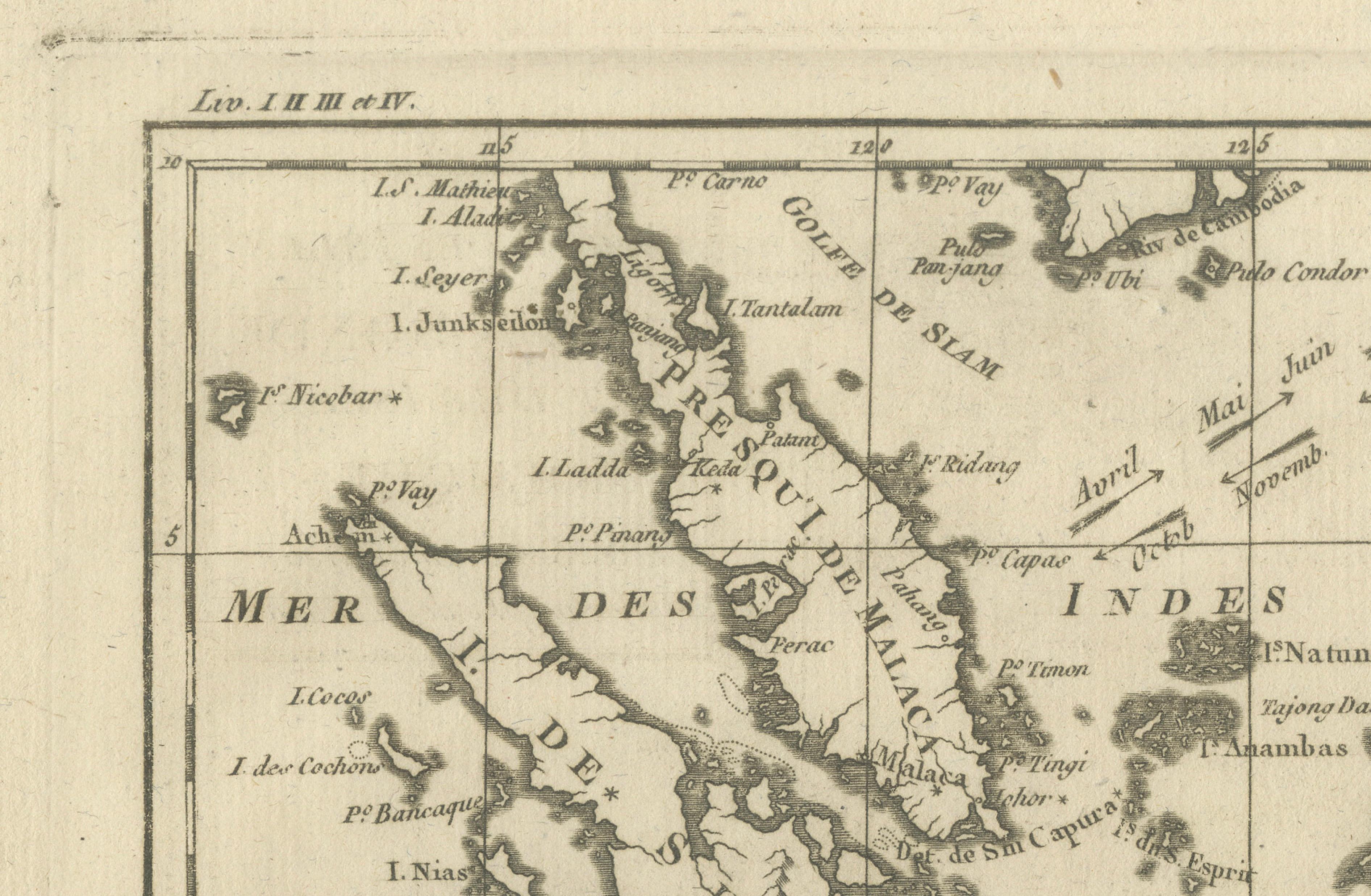
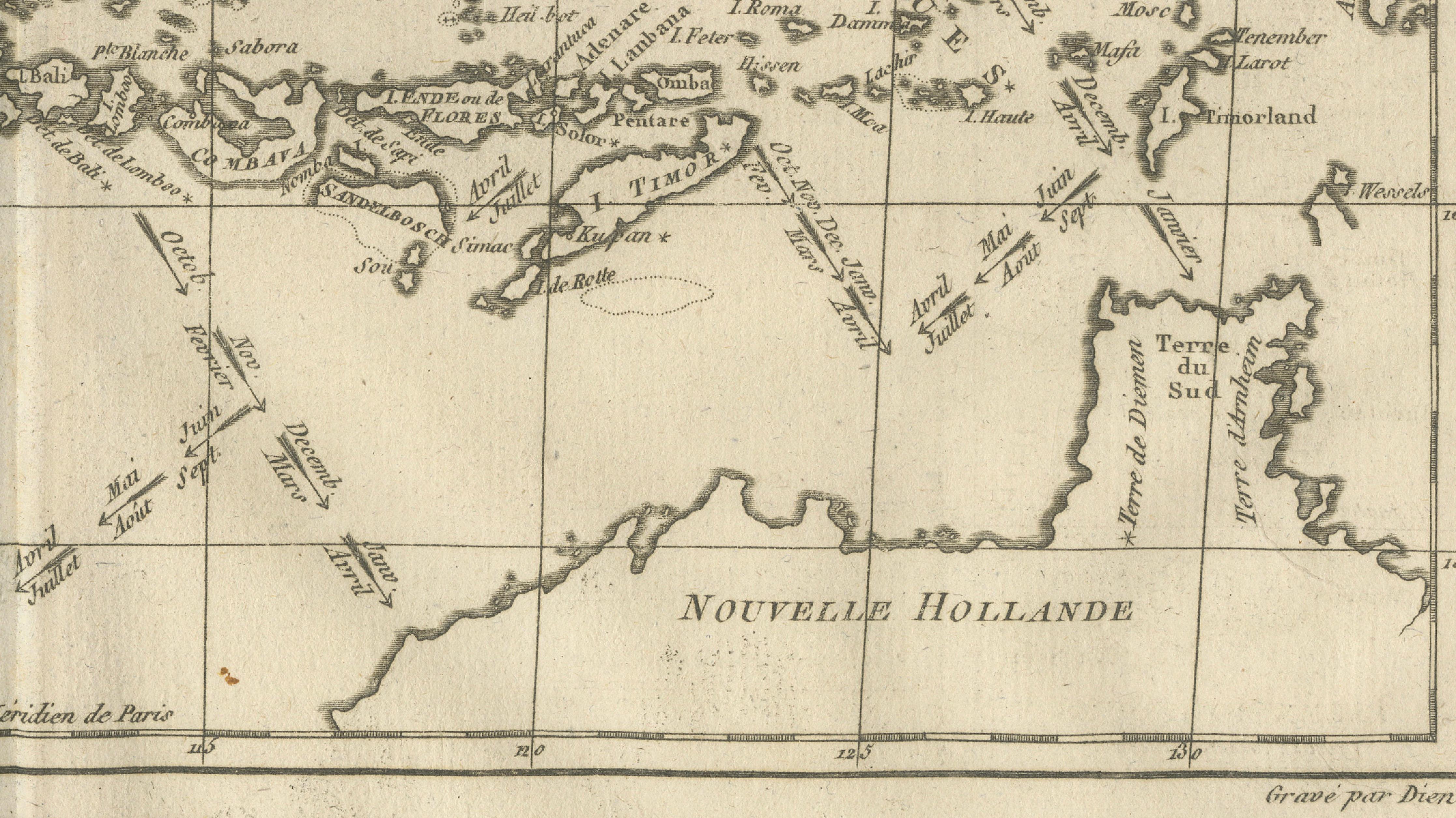
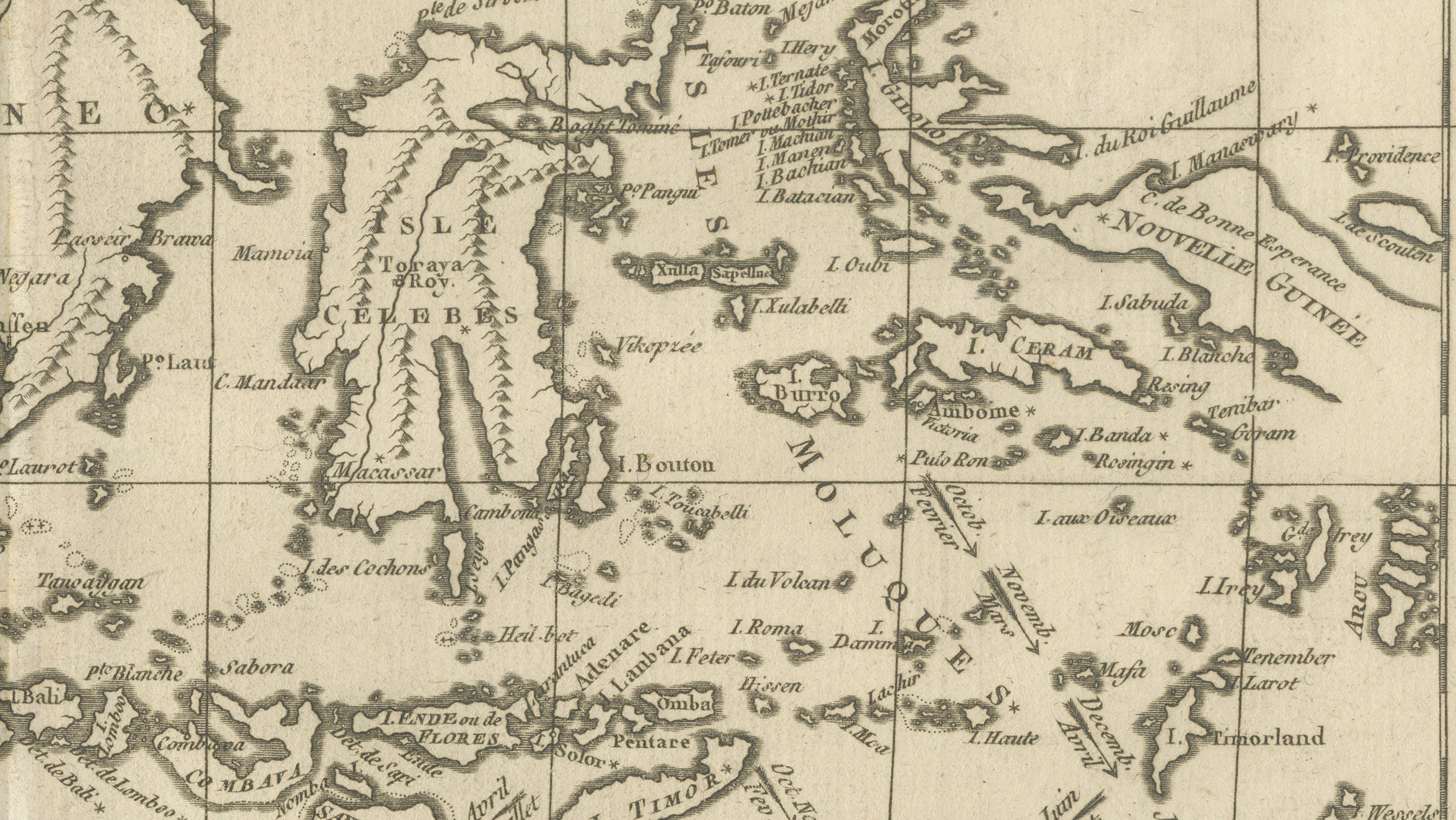
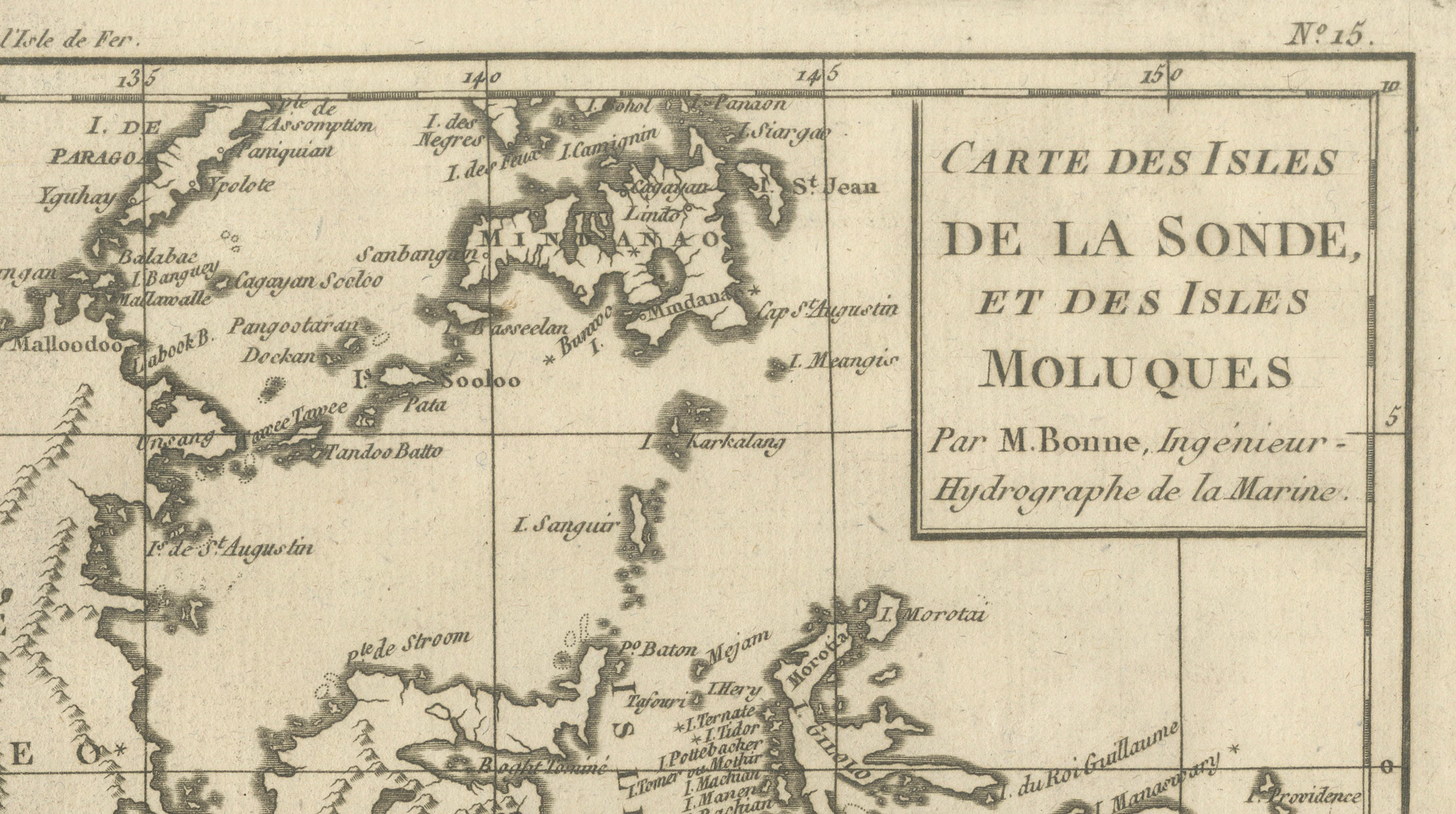
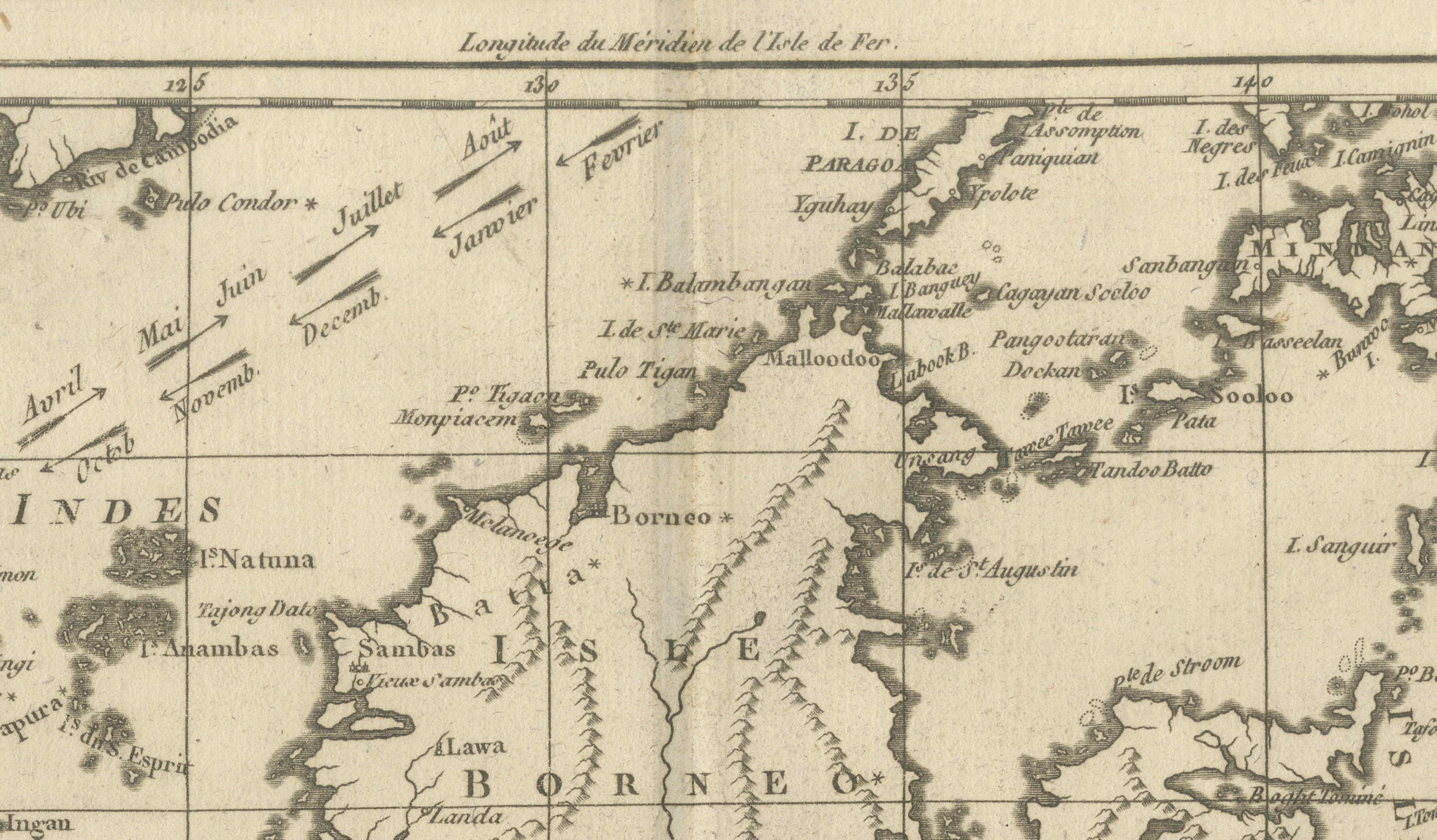
Antique East Indies Map by Rigobert Bonne, Copper Engraving, 1780
€ 350
One of a kind: this is the sheet in the photographs. Ships from Langweer, the Netherlands.
Date
1780
Sheet size
26 × 41 cm (10.2 × 16.1 in)
Condition
Good
Reference
BG-14105-15
Condition
Very good condition. Even toning, original fold, crisp engraved lines. The map is offered unframed, preserving the sheet in its original, untouched state.
About this sheet
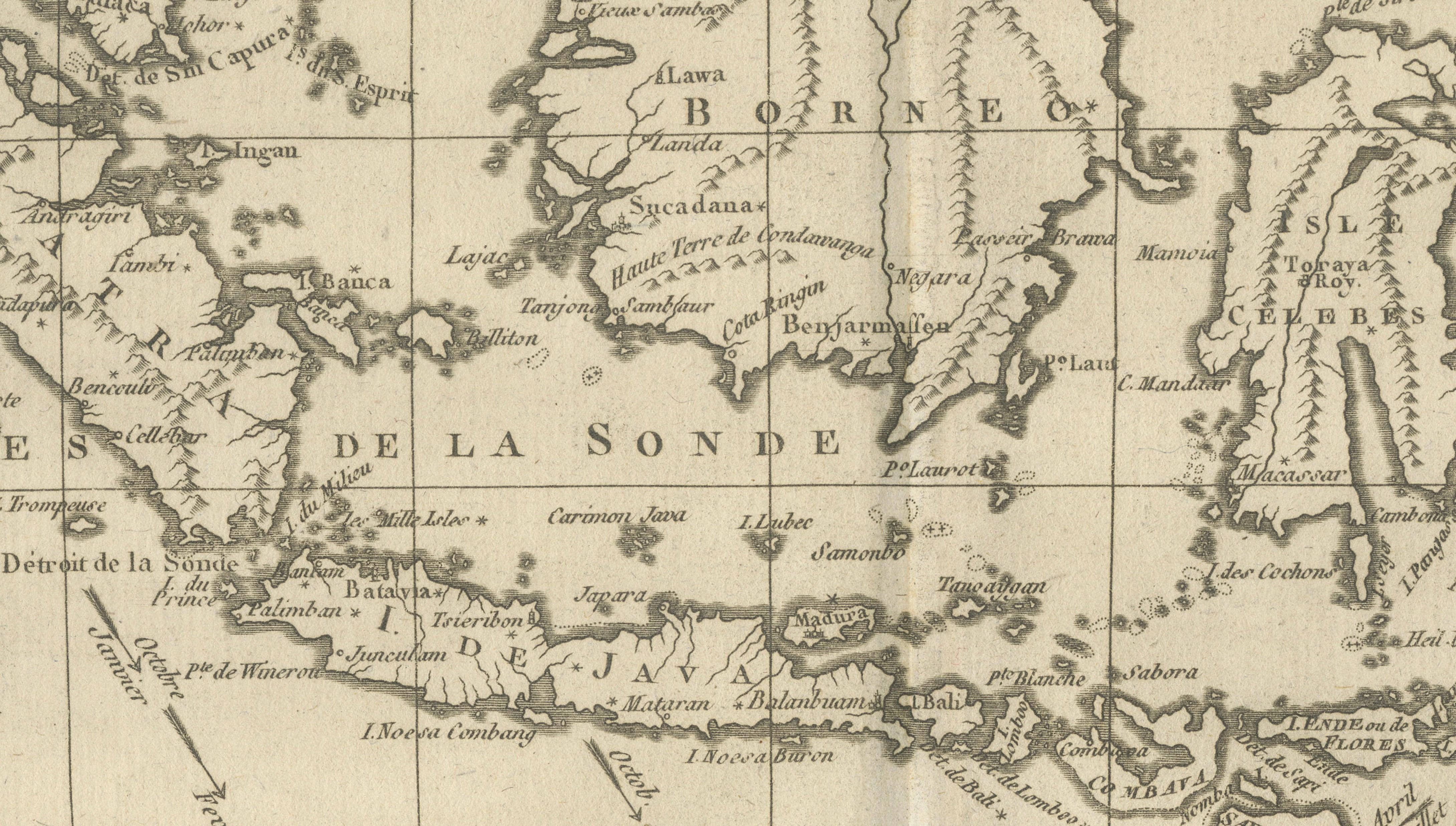
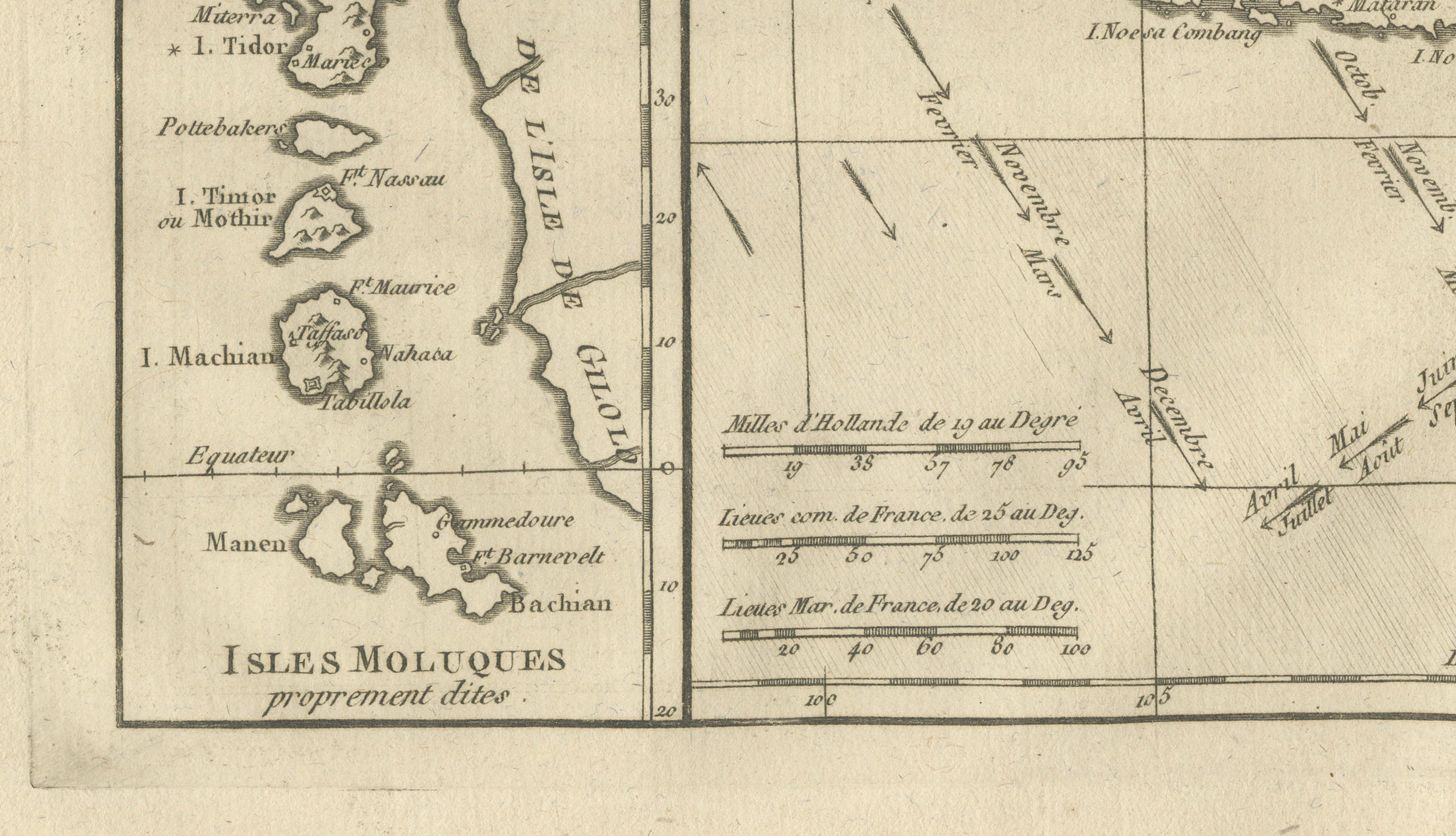
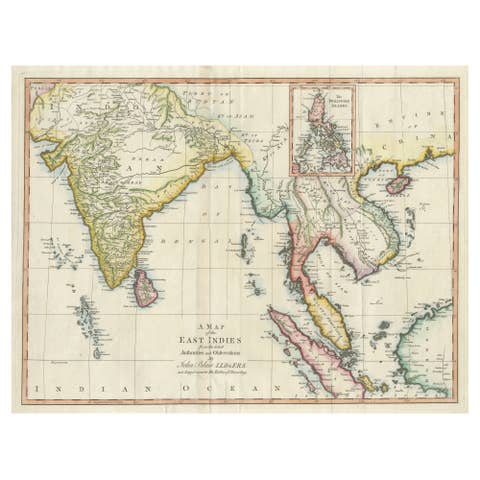
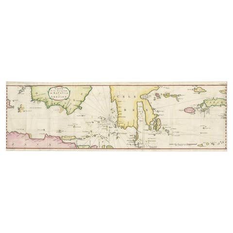
East Indies & Moluccas – Antique Map of Indonesia, Bonne c1780 This detailed map depicts the East Indies, including Java, Borneo, Sulawesi, the Moluccas, and surrounding islands. Designed during the era of intense European competition for spice trade dominance, the map emphasizes coastlines, straits, and navigational routes. Rigobert Bonne’s engraving balances scientific accuracy with aesthetic clarity, presenting a complex archipelago in a legible and elegant form. The inclusion of New Holland (Australia) adds further historical interest.
Condition: Very good condition. Even toning, original fold, crisp engraved lines.
Framing tips: Works beautifully in a wide horizontal frame with a warm off-white mat.
Keywords: East Indies map, Indonesia antique map, Moluccas, Java map, spice islands, colonial cartography, Rigobert Bonne
Technique: Copper engraving Maker: Rigobert Bonne, France, circa 1780