About this sheet
Antique Map of Ceram Ambon Banda Buru Moluccas Dornseiffen 1884
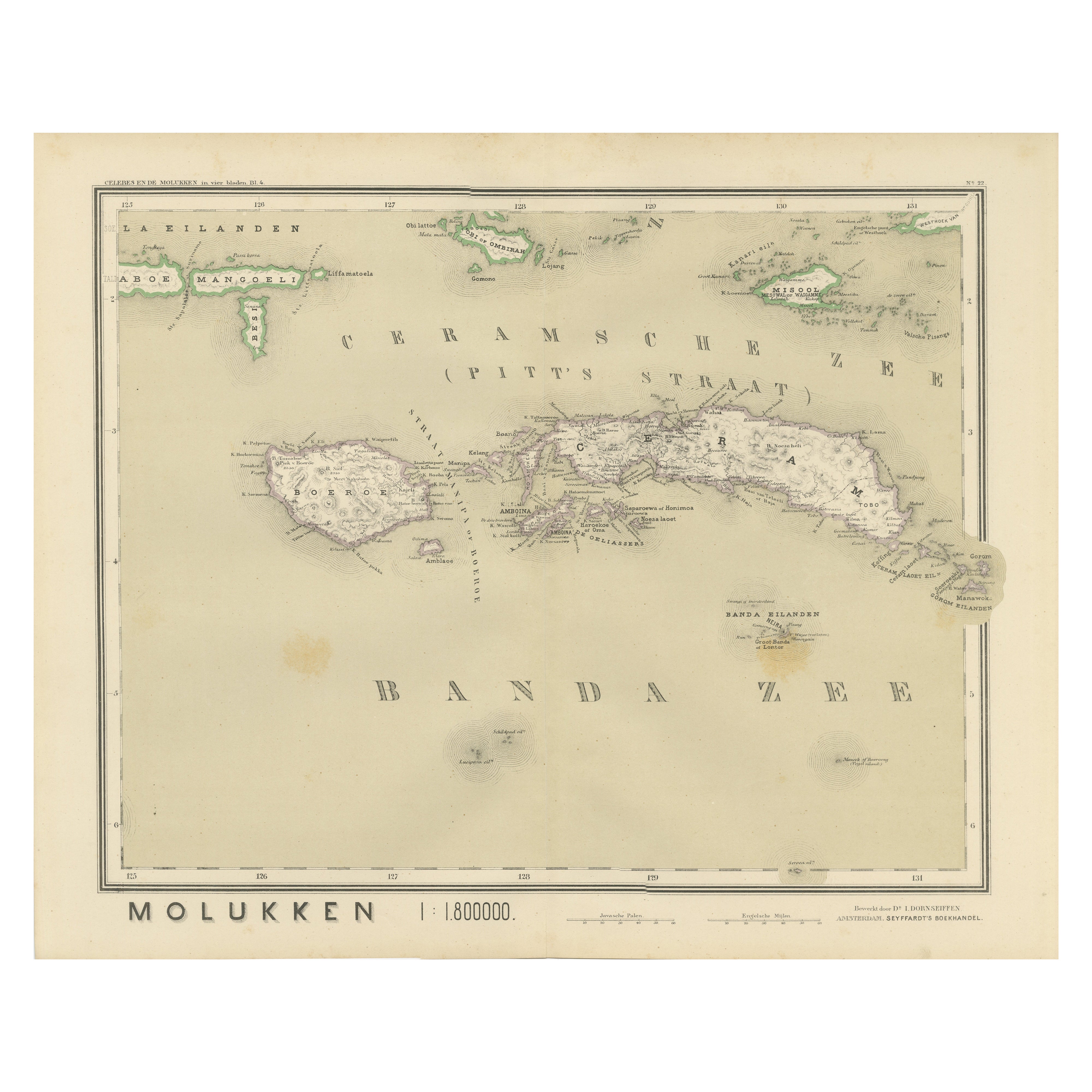
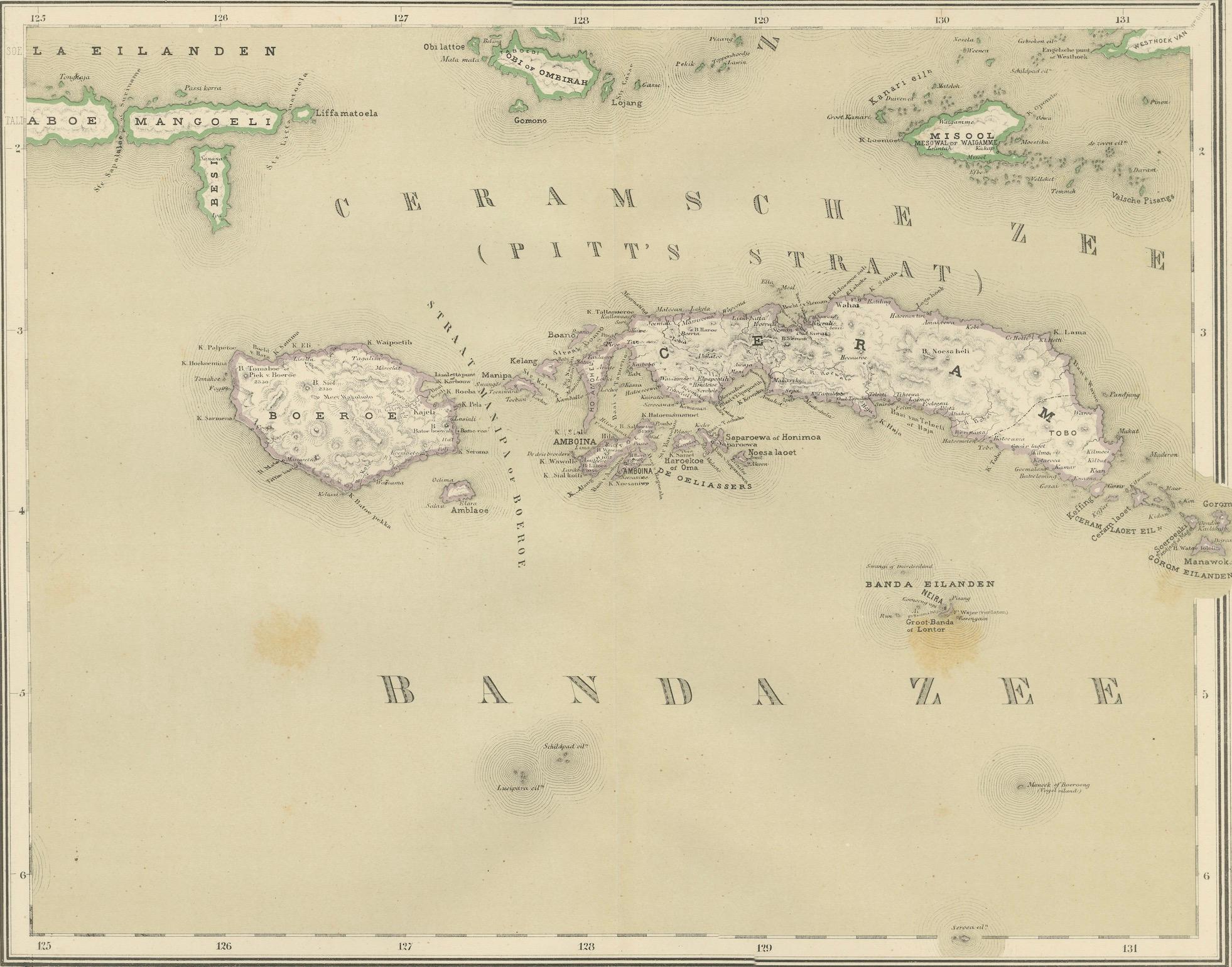
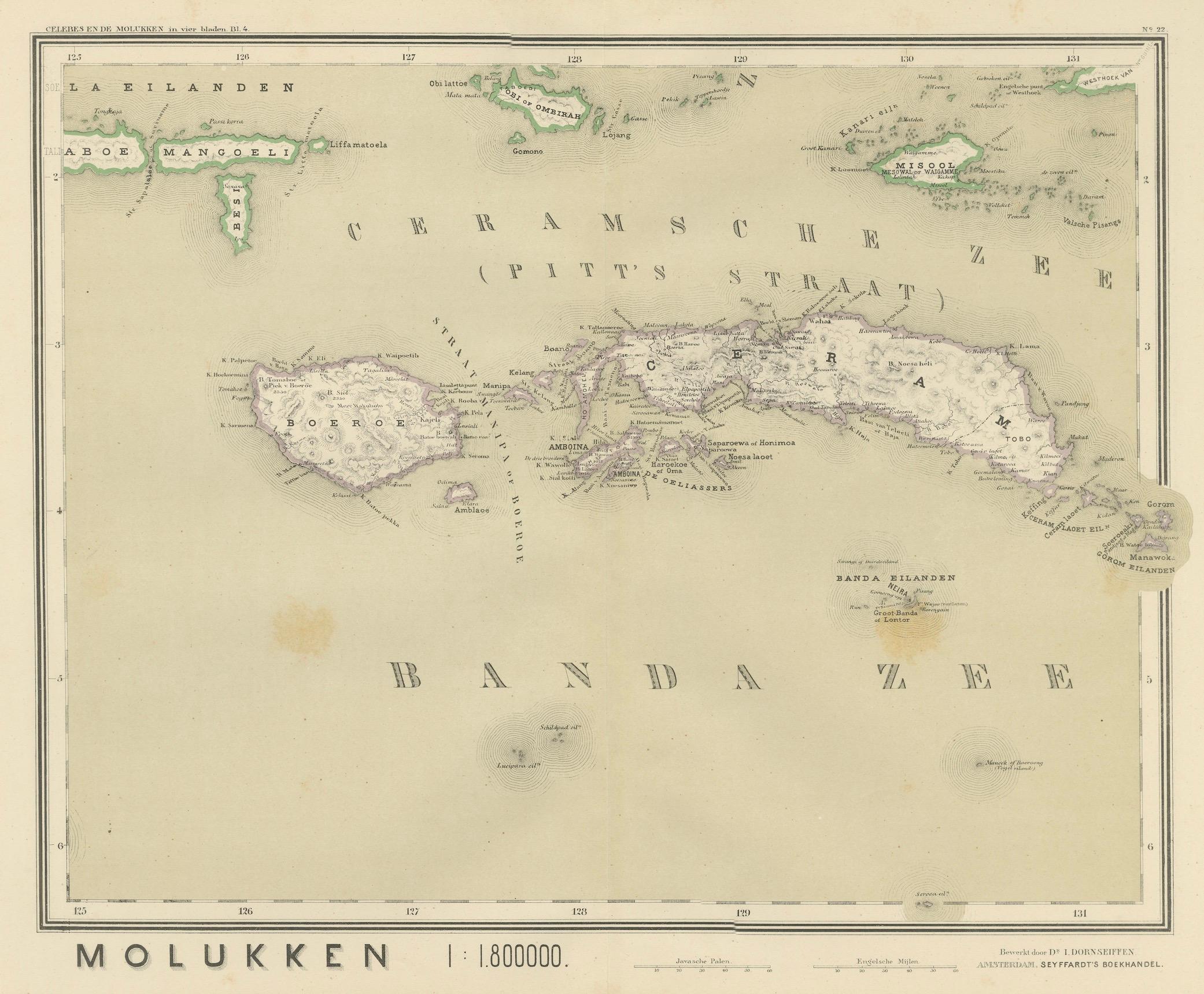
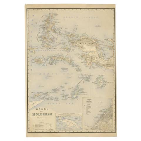
This finely detailed antique map depicts the central Moluccan Islands, focusing on Ceram (Seram), Buru, Ambon, and the legendary Banda Islands, at the very heart of the historic Dutch spice empire. Issued as part of the official late-19th-century colonial survey series of the Netherlands East Indies, this map was designed by J. Dornseiffen and published in Amsterdam by Seyffardt’s Boekhandel in 1884. It represents one of the most accurate scientific cartographic records of this globally important region.
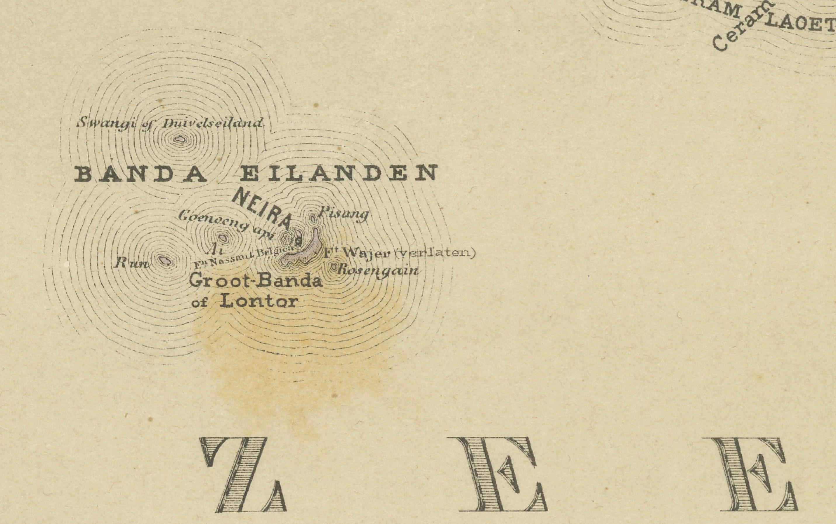
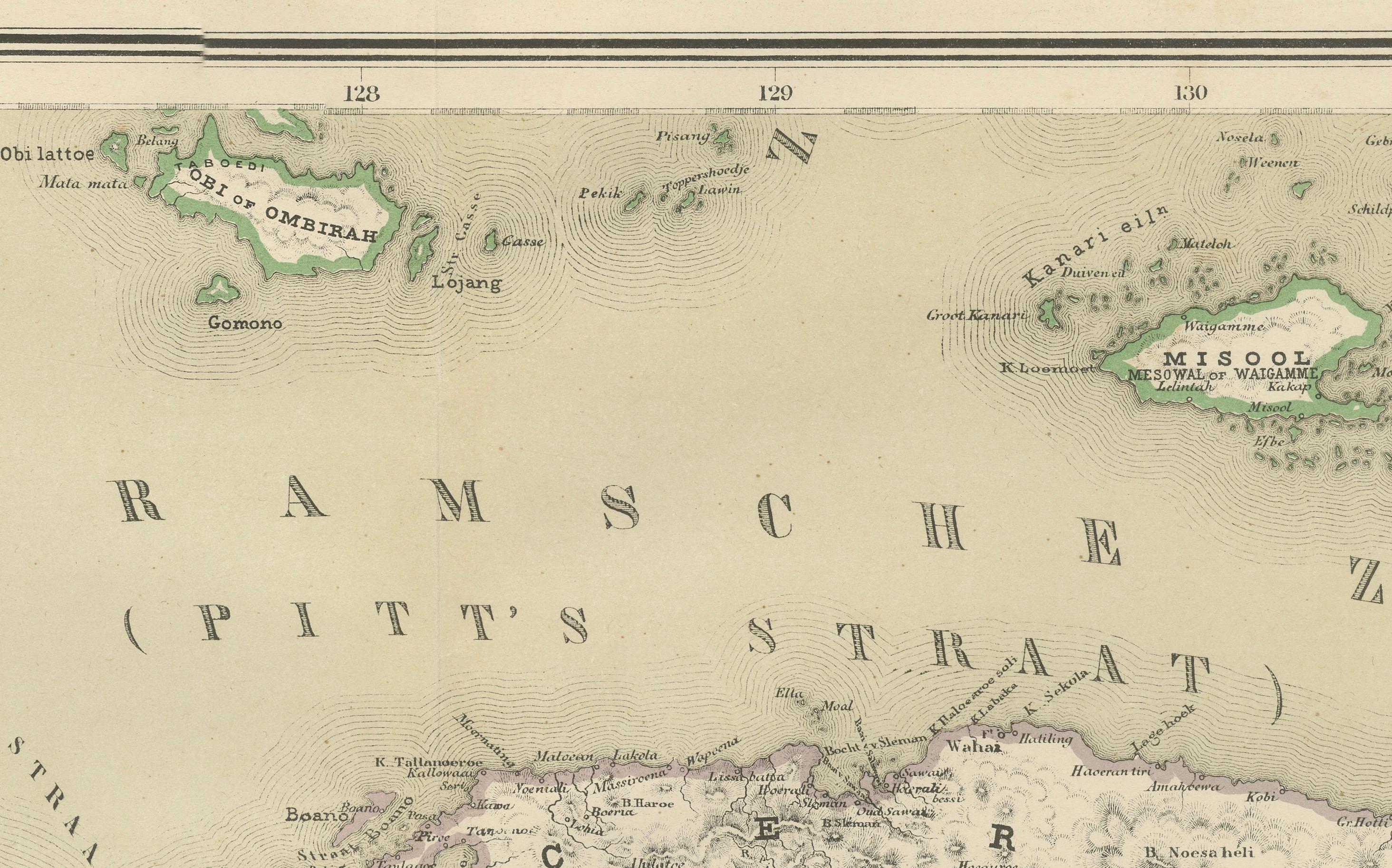
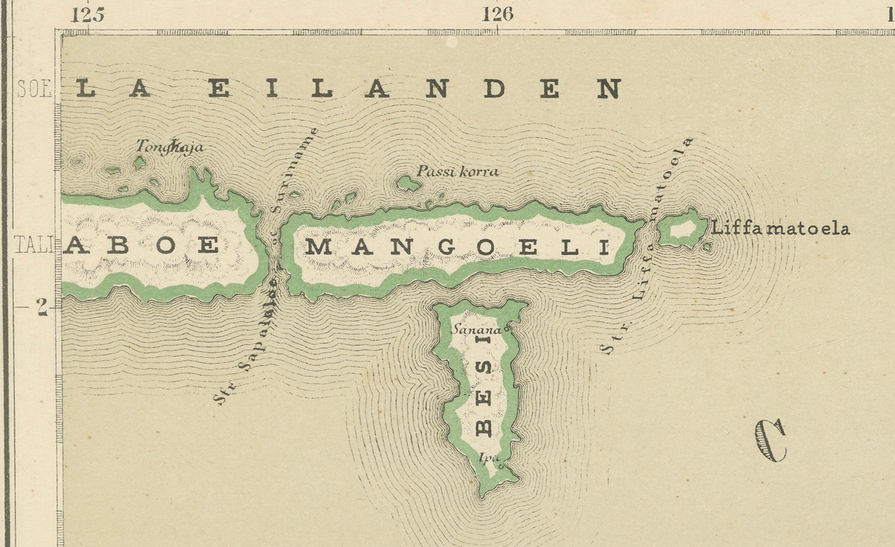
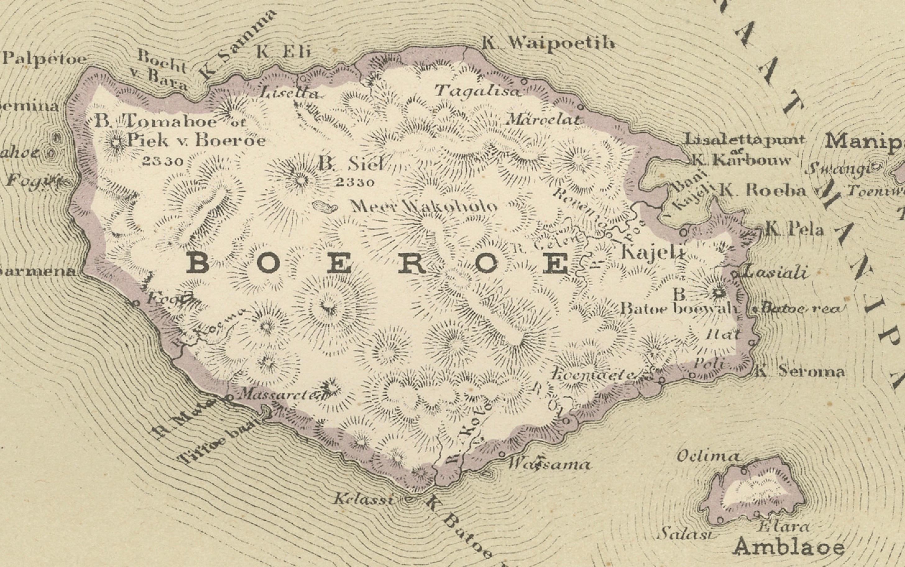
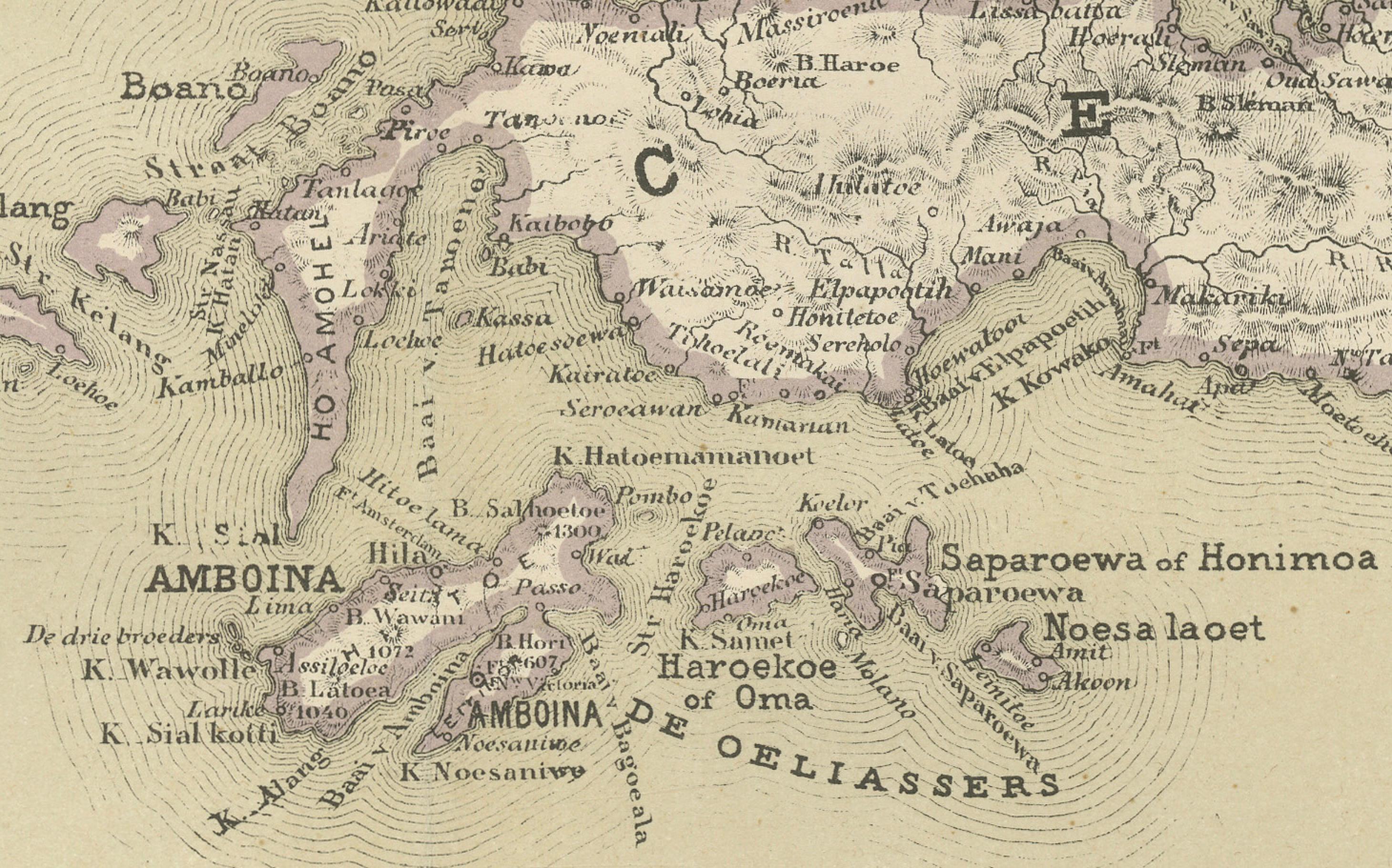
The map shows Ceram stretching across the composition with its rugged mountainous spine rendered in shaded relief. Buru appears to the west, Ambon with its famous natural harbor just south of Ceram, and the Banda Islands isolated in the Banda Sea below. Coastlines are engraved with great precision, while innumerable anchorages, rivers, coastal settlements, and inland place names reflect the deep penetration of Dutch administrative surveying by the late 1800s. Original hand coloring highlights coastal outlines and colonial administrative distinctions.
Historically, this region represents the very epicenter of world trade in cloves, nutmeg, and mace from the 16th through the 18th centuries. Control of Banda alone determined the global nutmeg monopoly for generations and provided the economic foundation for the rise of the Dutch East India Company (VOC). By 1884, when Dornseiffen produced this map, VOC rule had long been replaced by centralized imperial administration. The map therefore documents the transition from mercantile empire to fully structured colonial state.
Visually, this is a beautifully balanced and highly decorative sheet. The restrained pastel coloring, crisp engraving, and elegant spacing across the Banda Sea give the map a refined and authoritative appearance. It works exceptionally well both as a collector’s document and as a striking interior display in libraries, studies, boardrooms, or curated gallery environments.
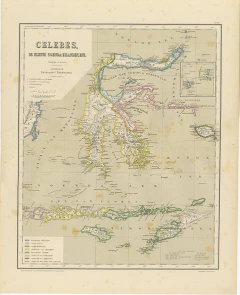
This Ceram–Buru–Ambon–Banda sheet is increasingly sought after by collectors of Indonesian history, VOC heritage, spice trade material, and Dutch colonial cartography. It also pairs seamlessly with Dornseiffen’s companion maps of Halmahera, Celebes, and New Guinea for a complete high-level wall presentation of the eastern Dutch East Indies.
Condition report: Good antique condition. Light overall age toning consistent with 19th-century paper. Scattered foxing visible, mostly confined to the margins. Clear plate impression present. Full margins preserved. No major tears or losses observed.
Framing tips: This map displays beautifully with a wide off-white or warm ivory mat and a dark walnut, ebonized, or antique gilt frame. Museum glass is recommended for UV protection and optimal clarity of the fine engraving.
Technique: Hand-colored lithograph
Maker: J. Dornseiffen, Amsterdam, 1884 (published by Seyffardt’s Boekhandel)