About this sheet
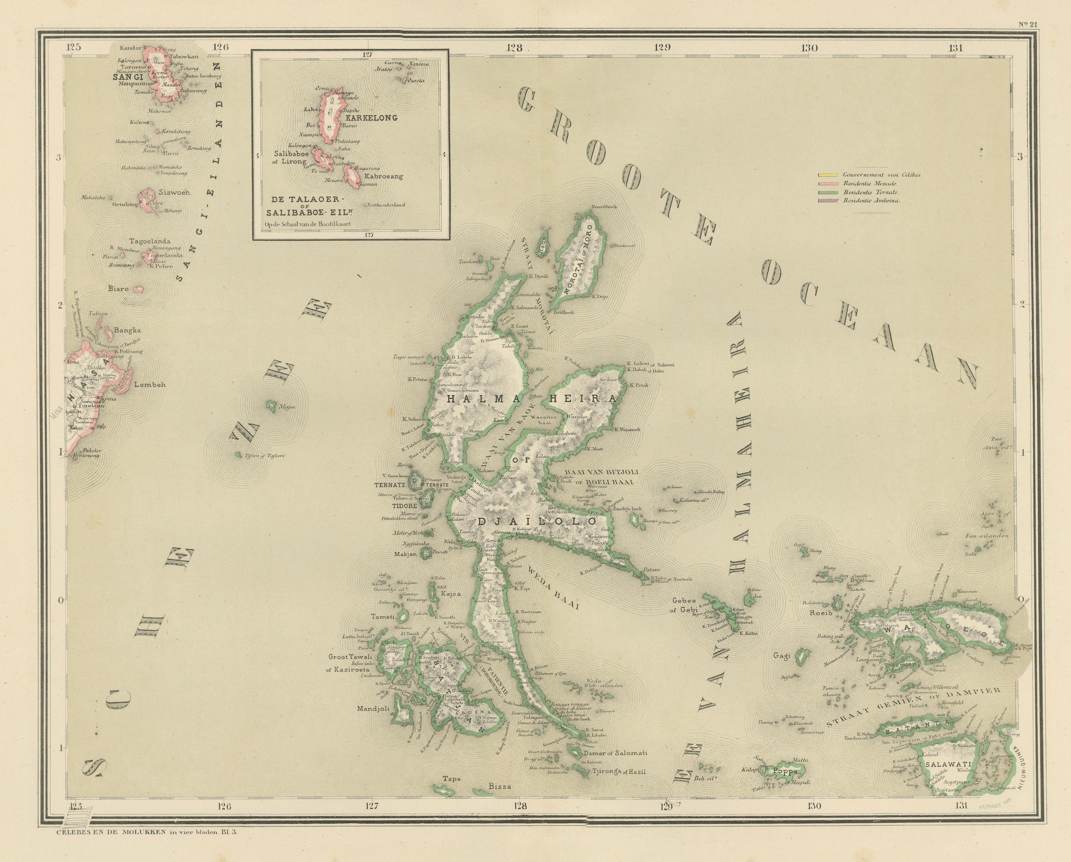
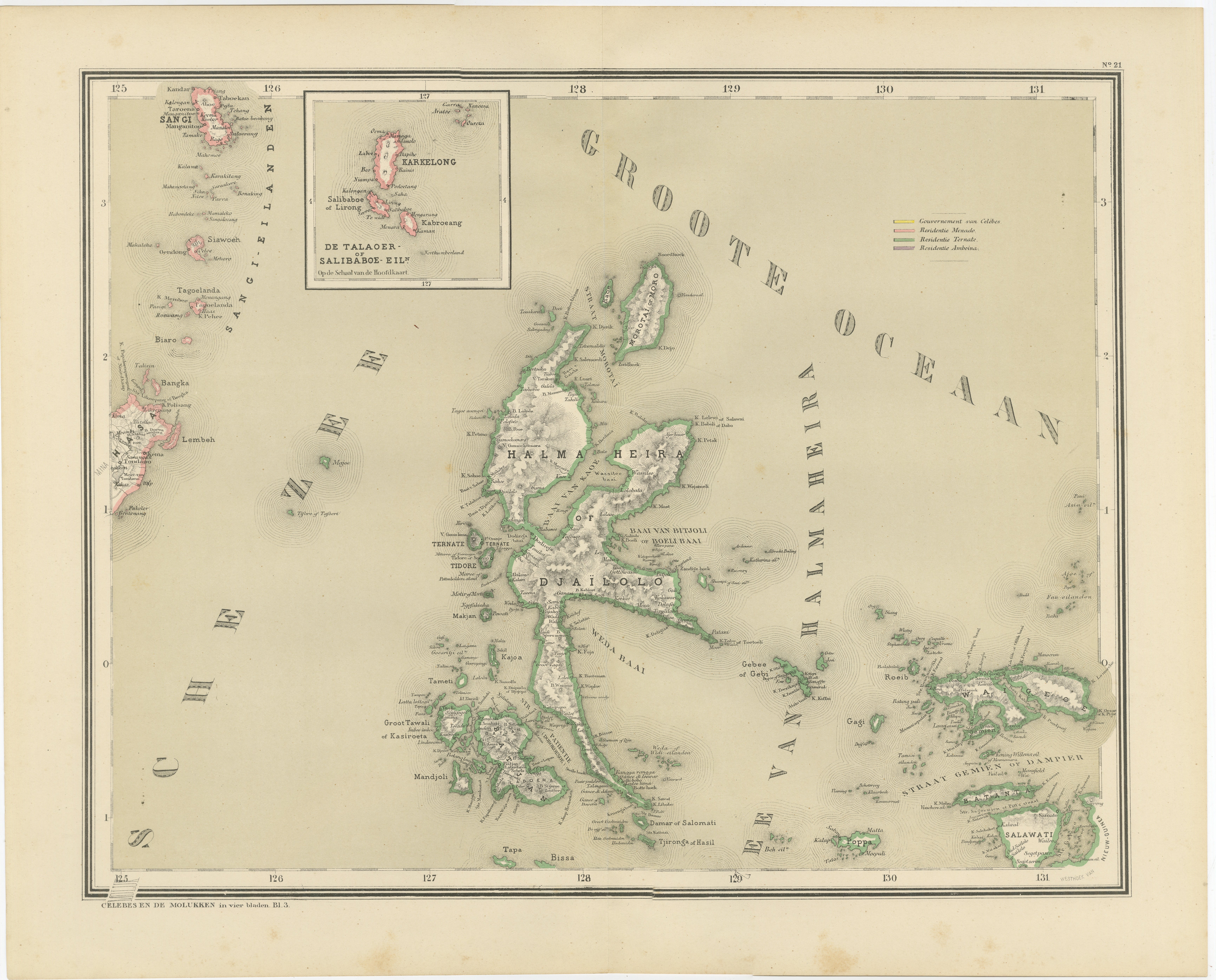
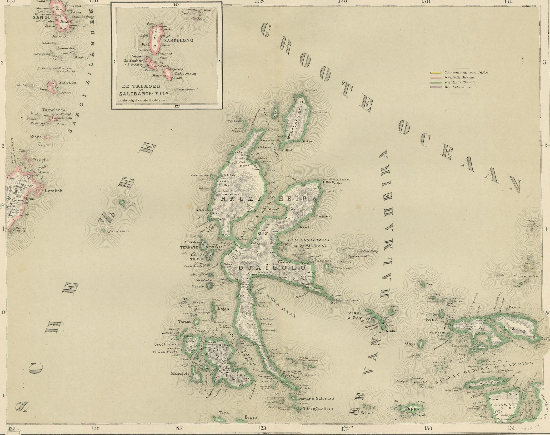
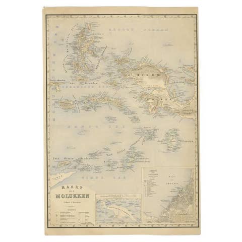
Antique Map of Halmahera Ternate Tidore Moluccas Dornseiffen 1884
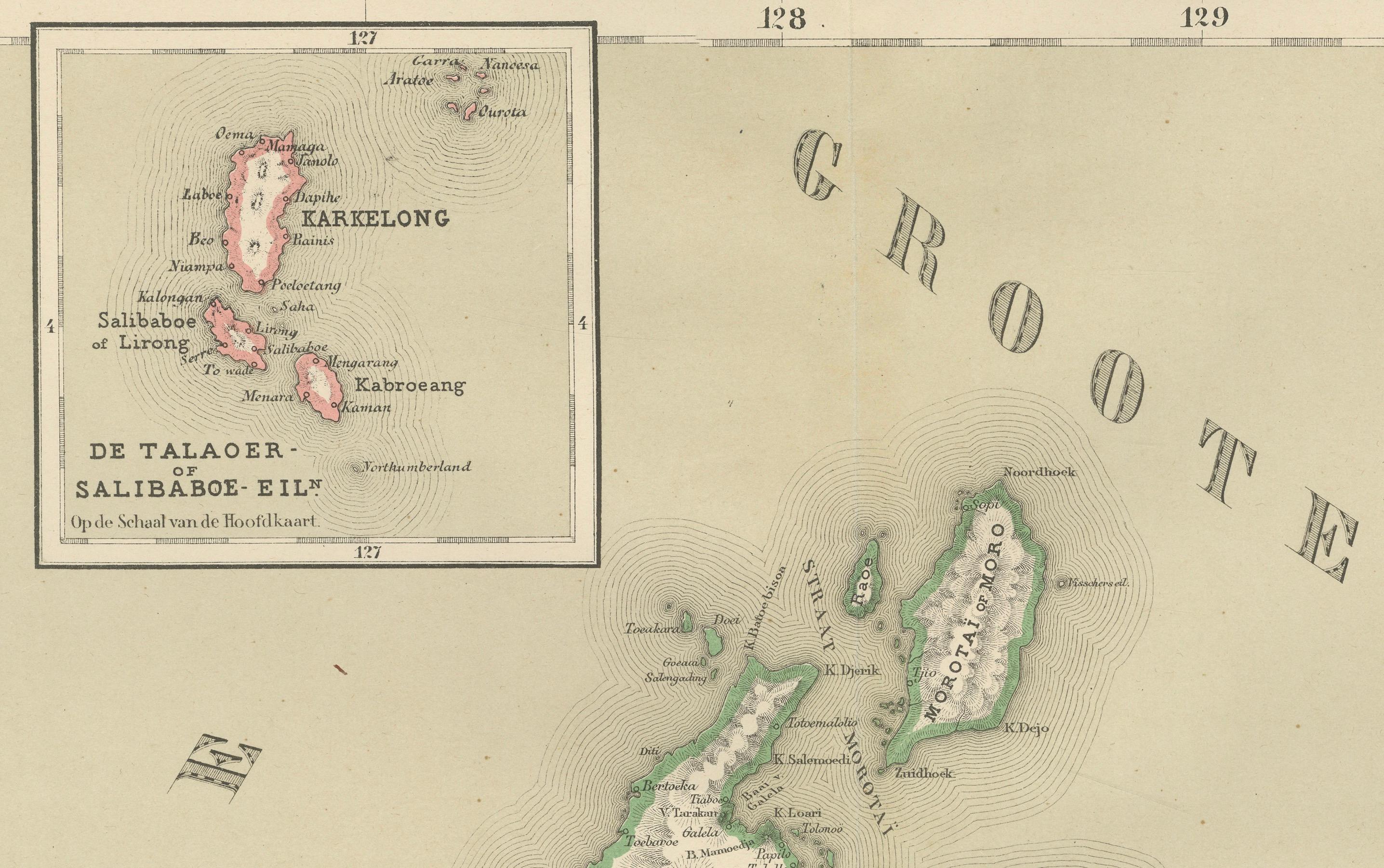
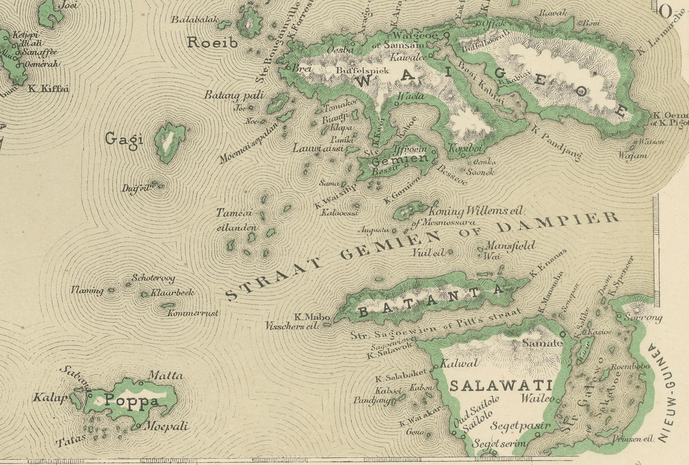
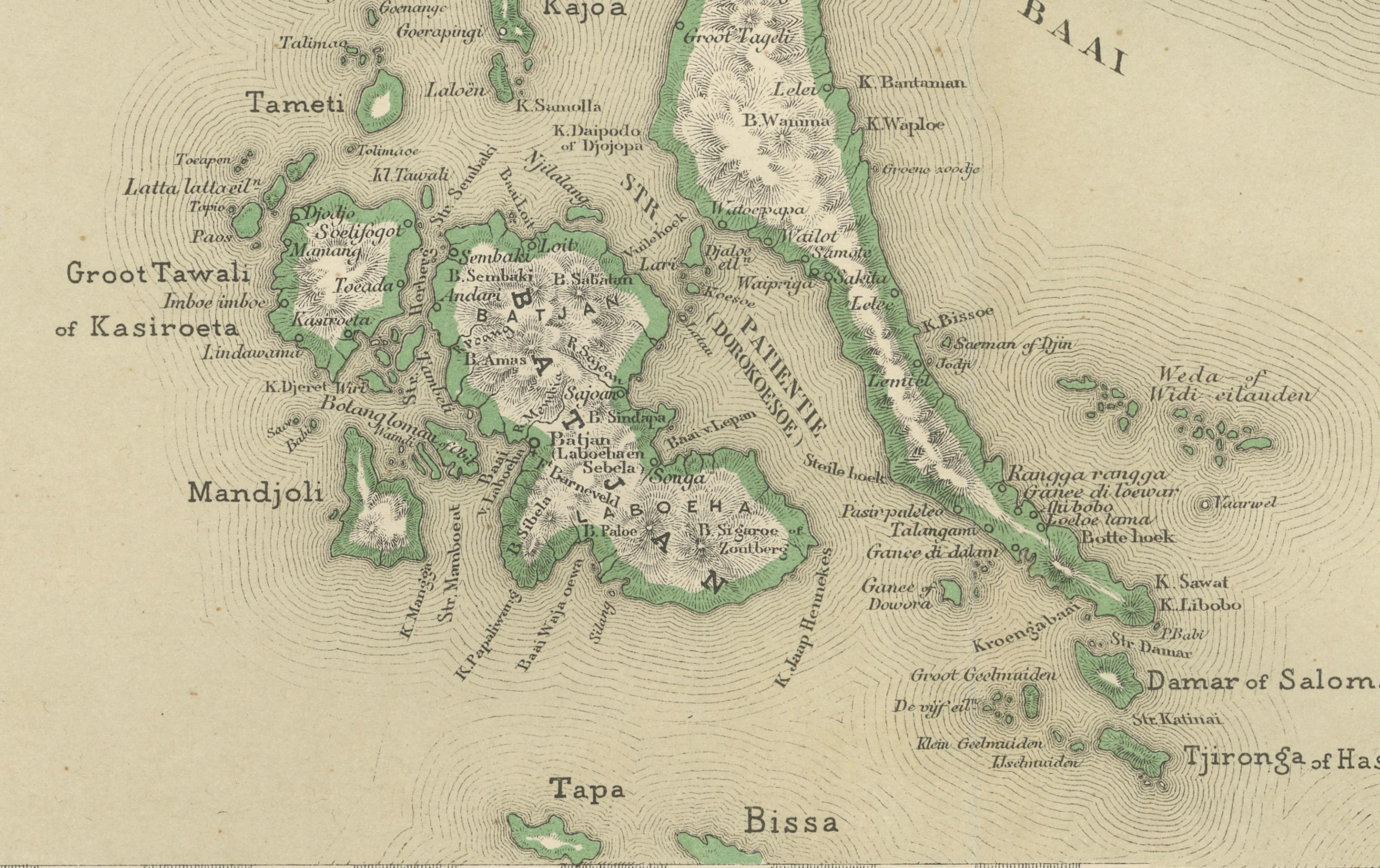
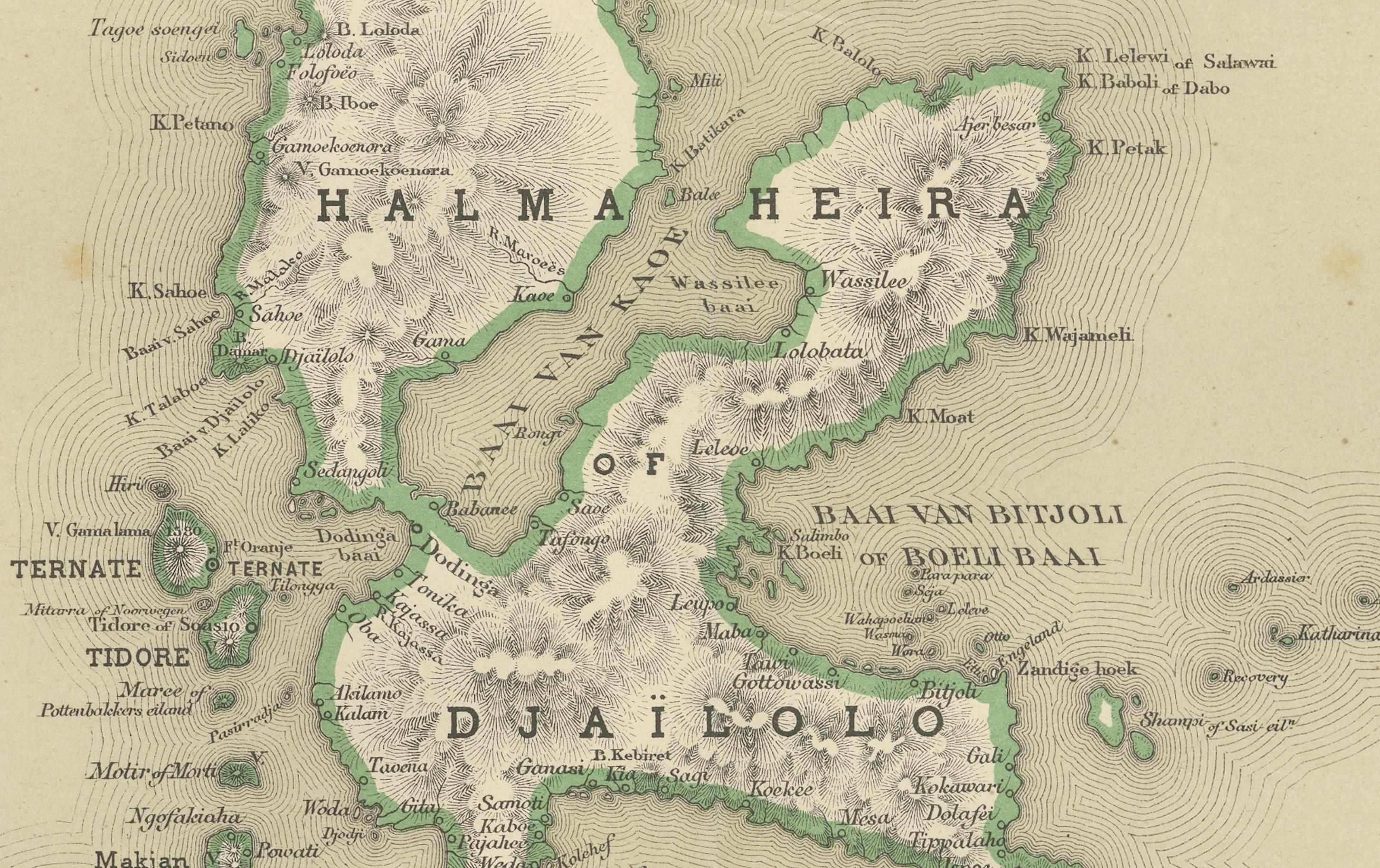
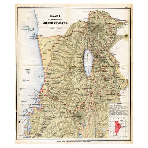
This finely detailed antique map depicts the northern Moluccan Islands with Halmahera (Gilolo) at its center, including the legendary spice islands of Ternate, Tidore, Makian, and the surrounding island groups extending toward New Guinea. Issued as part of the official Dutch colonial survey series, this map was designed by J. Dornseiffen and published in Amsterdam by Seyffardt’s Boekhandel in 1884. It represents one of the most accurate late-19th-century cartographic renderings of this historically pivotal region of the Dutch East Indies.
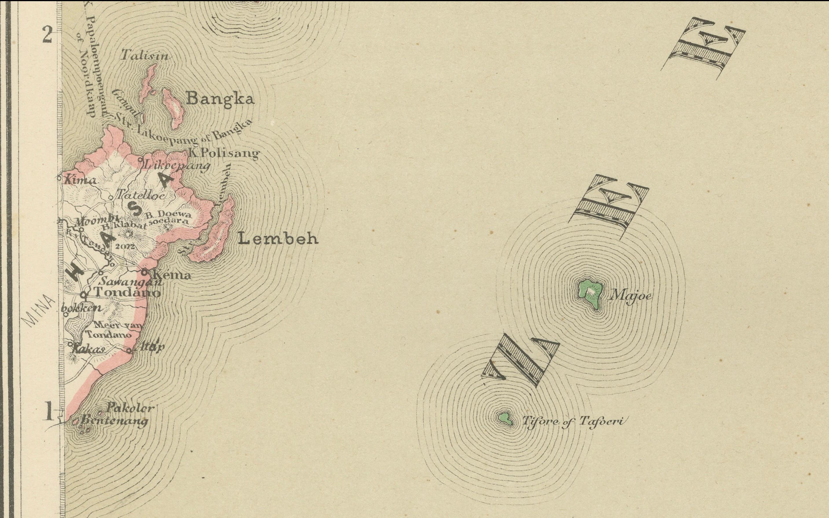
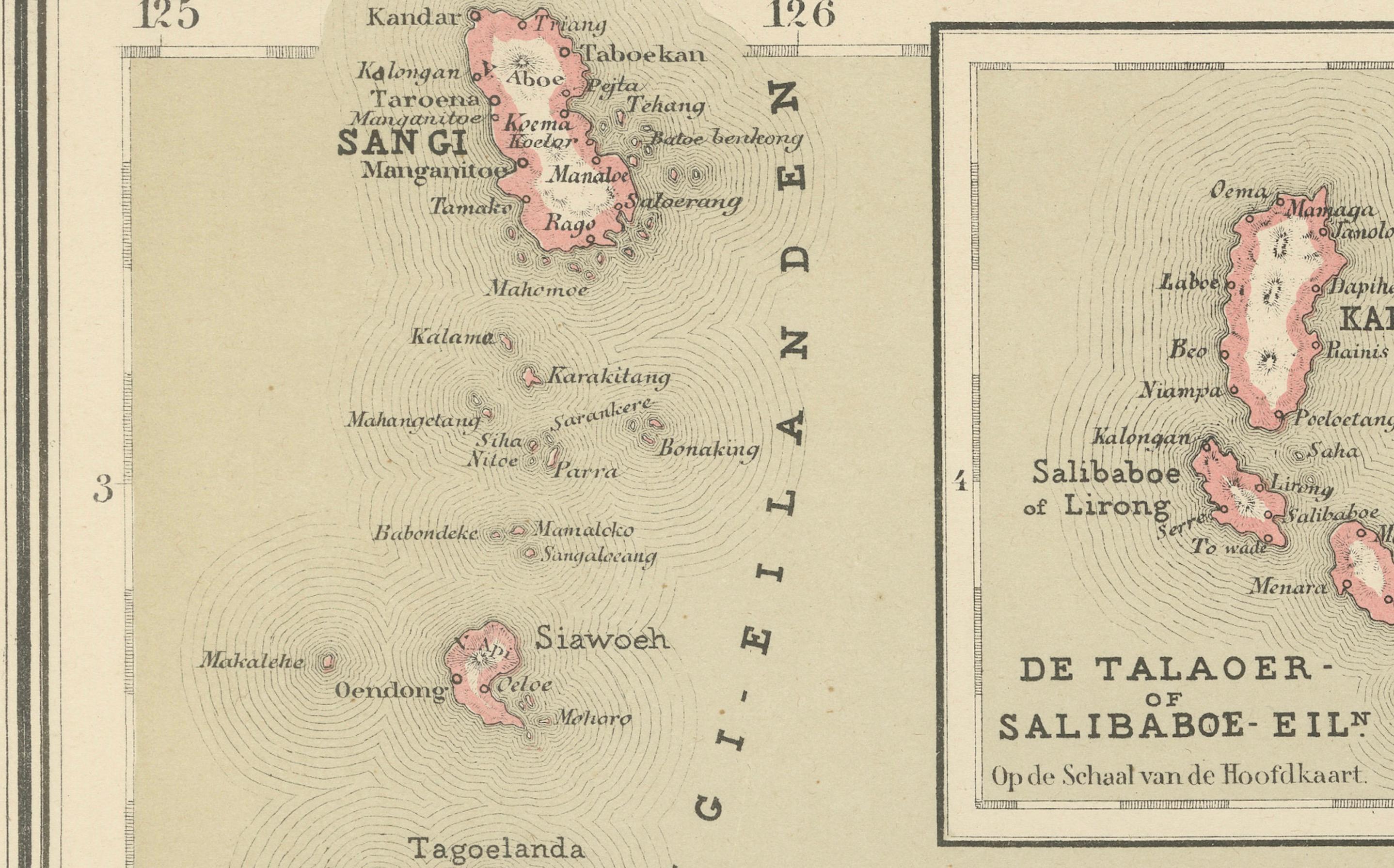
The map shows the dramatic, deeply indented coastlines of Halmahera with exceptional precision, including volcanic mountain systems rendered in shaded relief. Numerous ports, anchorages, rivers, and inland settlements are carefully engraved, while original hand coloring clearly distinguishes administrative regions and coastal divisions. The surrounding seas—part of the greater Moluccan and Pacific maritime system—reinforce the strategic naval and commercial importance of this island network.
Historically, this region formed the absolute heart of the global spice trade. Ternate and Tidore were the epicenters of clove production, and control of these islands underpinned the rise of the Dutch East India Company (VOC) in the 17th century. By 1884, when this map was issued, the VOC era had long ended, and the Dutch colonial administration had transformed into a centralized territorial state. Dornseiffen’s survey reflects this modern phase of empire, emphasizing inland geography, permanent borders, and administrative order rather than purely coastal trading posts.
Visually, the map is refined, balanced, and highly decorative. The restrained pastel hand coloring, dense coastal inscriptions, and powerful mountainous interior of Halmahera give the sheet strong visual authority. It functions beautifully as both a collector’s document and an elegant interior display piece for studies, libraries, and contemporary spaces seeking historical depth.
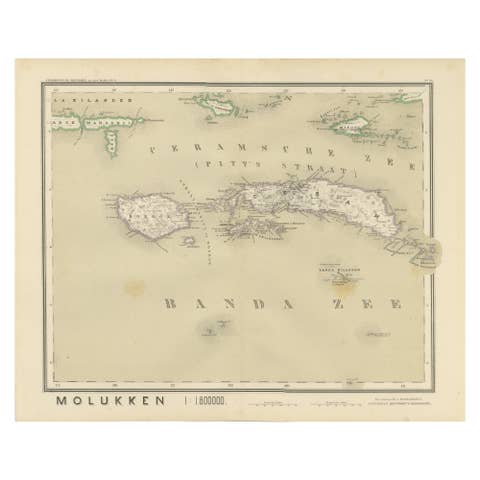
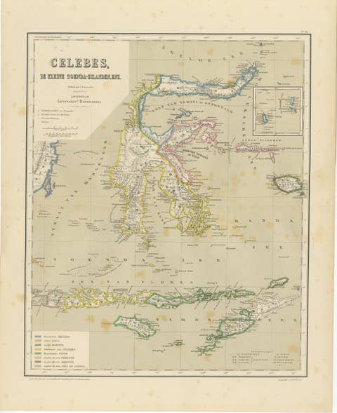
This map is increasingly sought after by collectors of Indonesian history, VOC heritage, and Dutch colonial cartography. It also pairs perfectly with Dornseiffen’s companion maps of Celebes, the Moluccas, and New Guinea for a complete high-level presentation of the eastern Dutch East Indies.
Condition report: Good antique condition. Light general age toning. Scattered foxing visible, mainly toward the margins. Clear plate impression present. Full margins preserved. No major tears or losses observed.
Framing tips: This map displays beautifully with a wide off-white or warm ivory mat and a dark walnut, black lacquer, or antique gilt frame. Museum glass is recommended for UV protection and enhanced clarity of the fine engraving.
Technique: Hand-colored lithograph
Maker: J. Dornseiffen, Amsterdam, 1884 (published by Seyffardt’s Boekhandel)