About this sheet
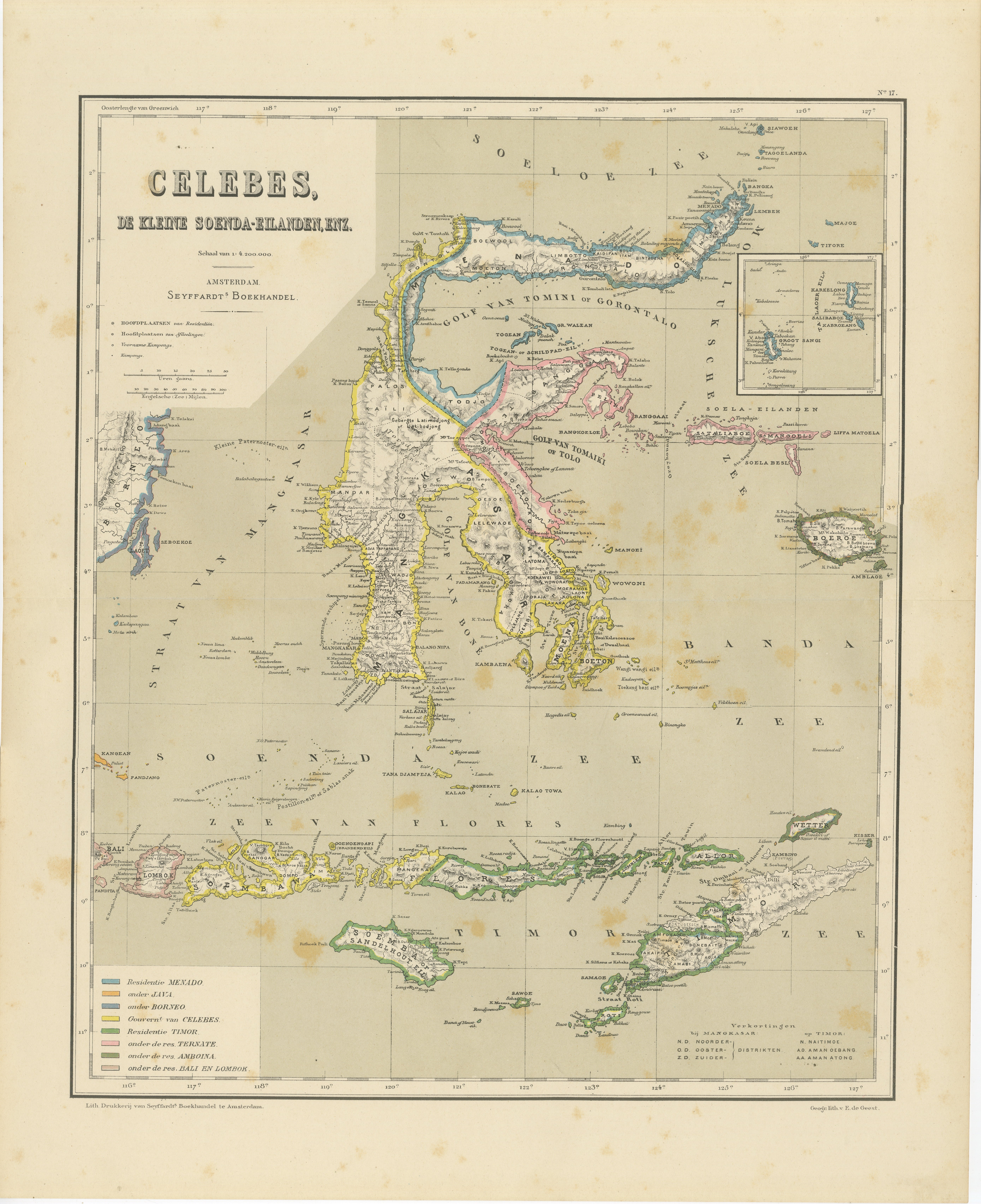
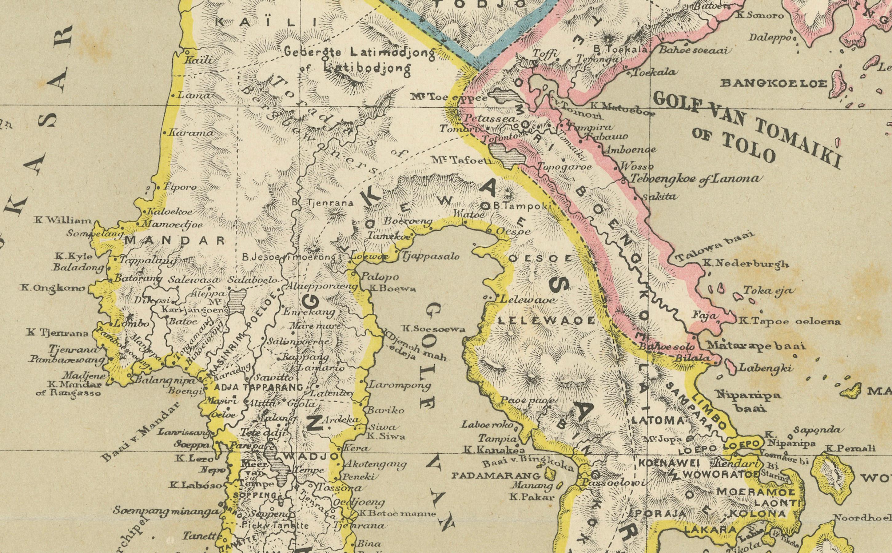
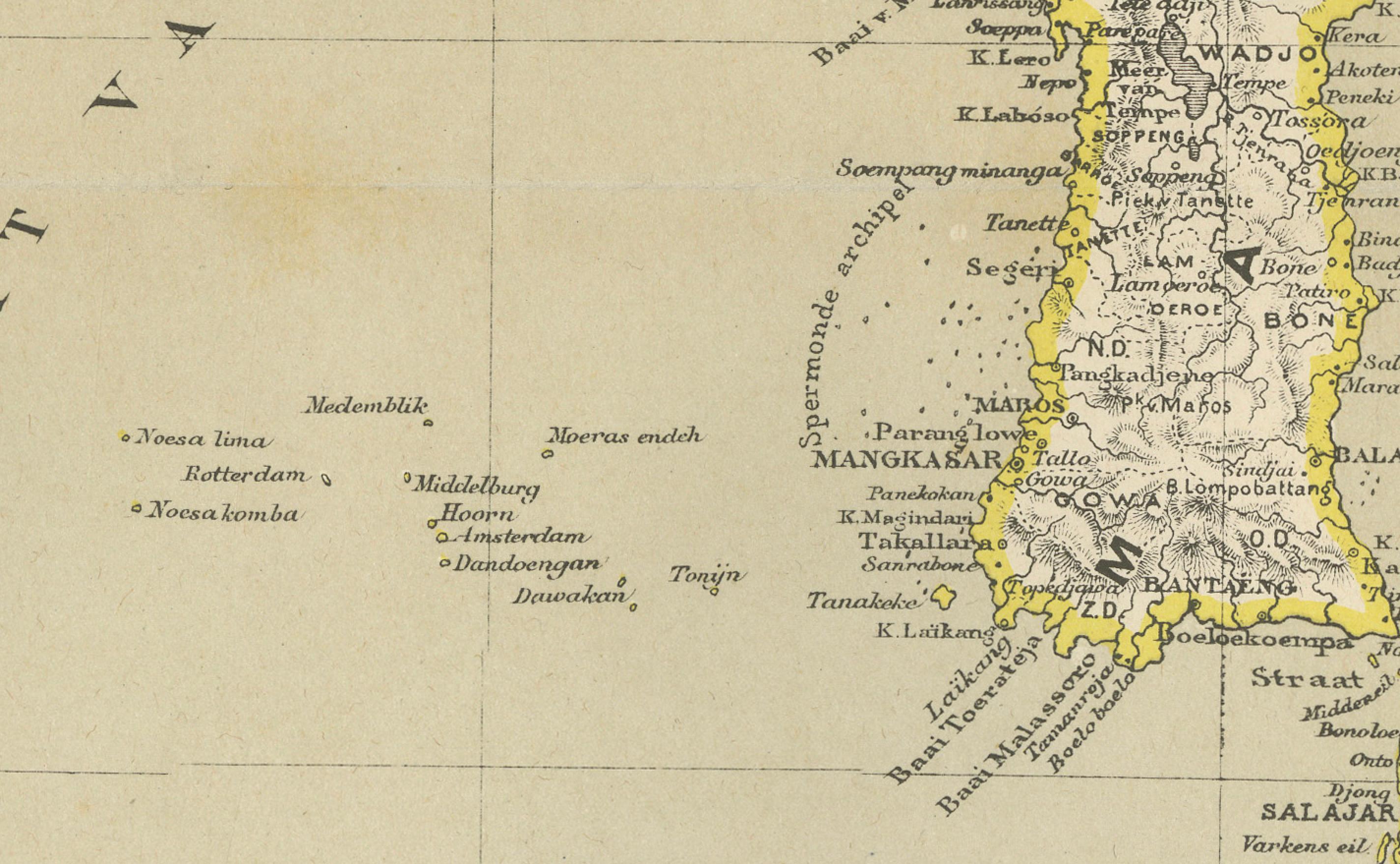
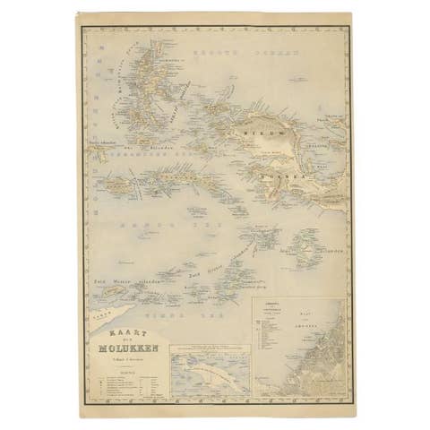
Antique Colonial Map of Celebes Sulawesi & Lesser Sunda Islands 19th C
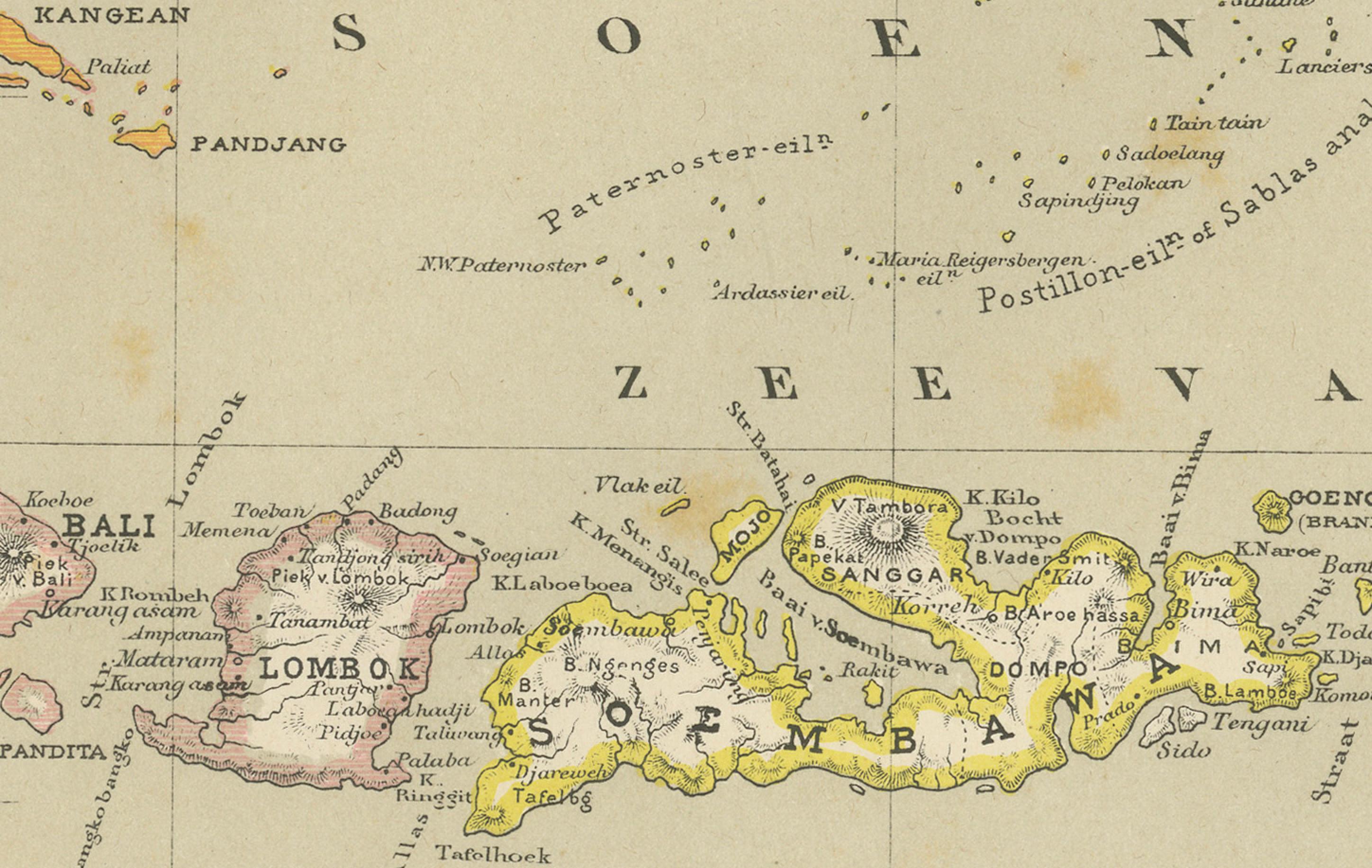
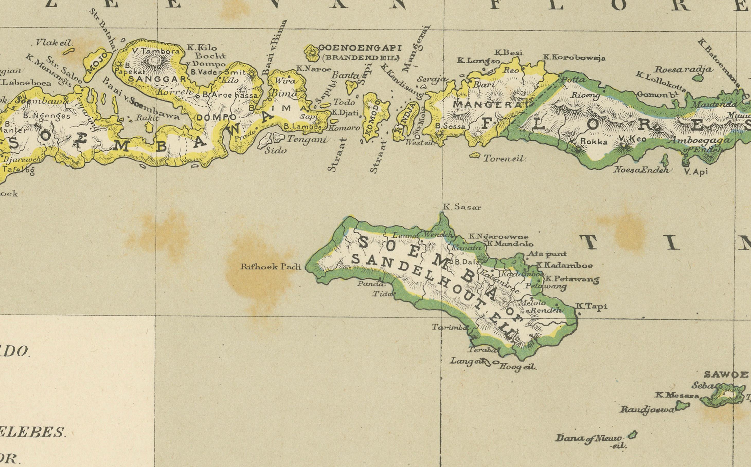
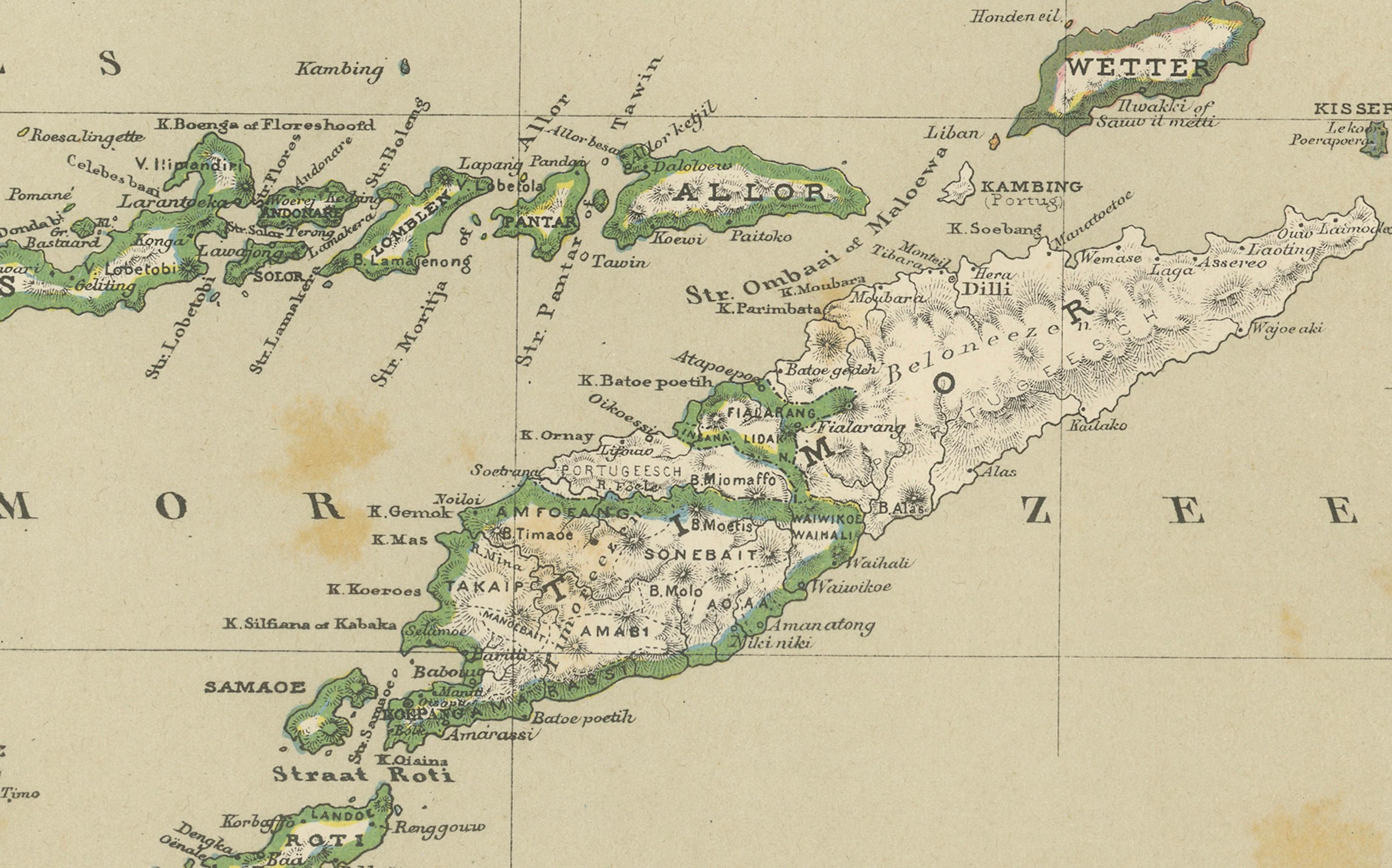
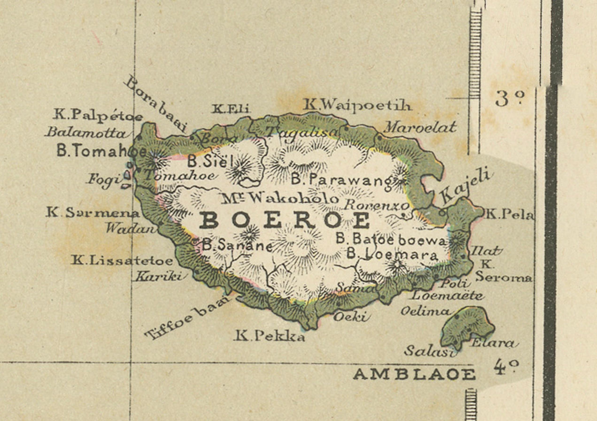
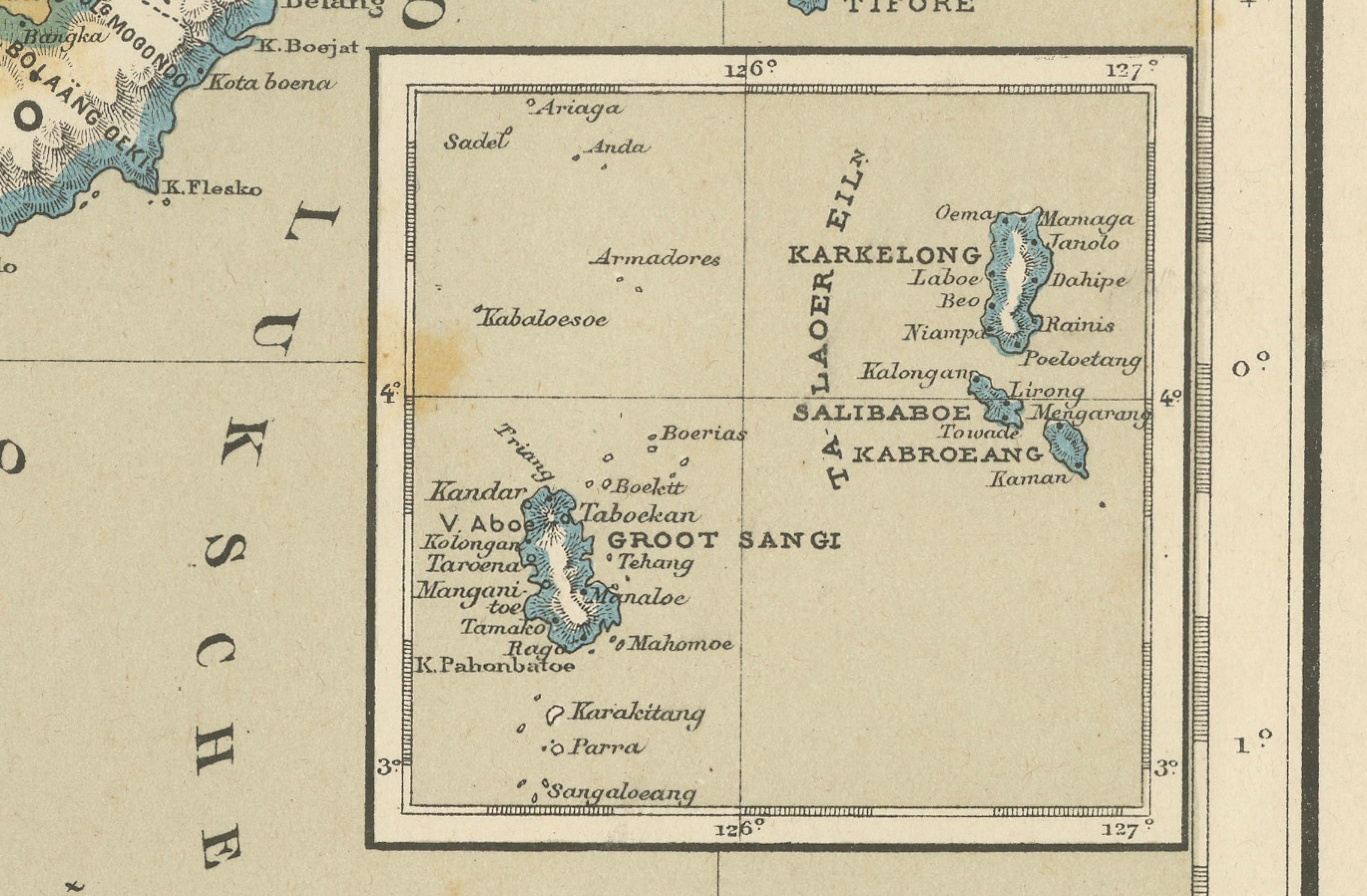
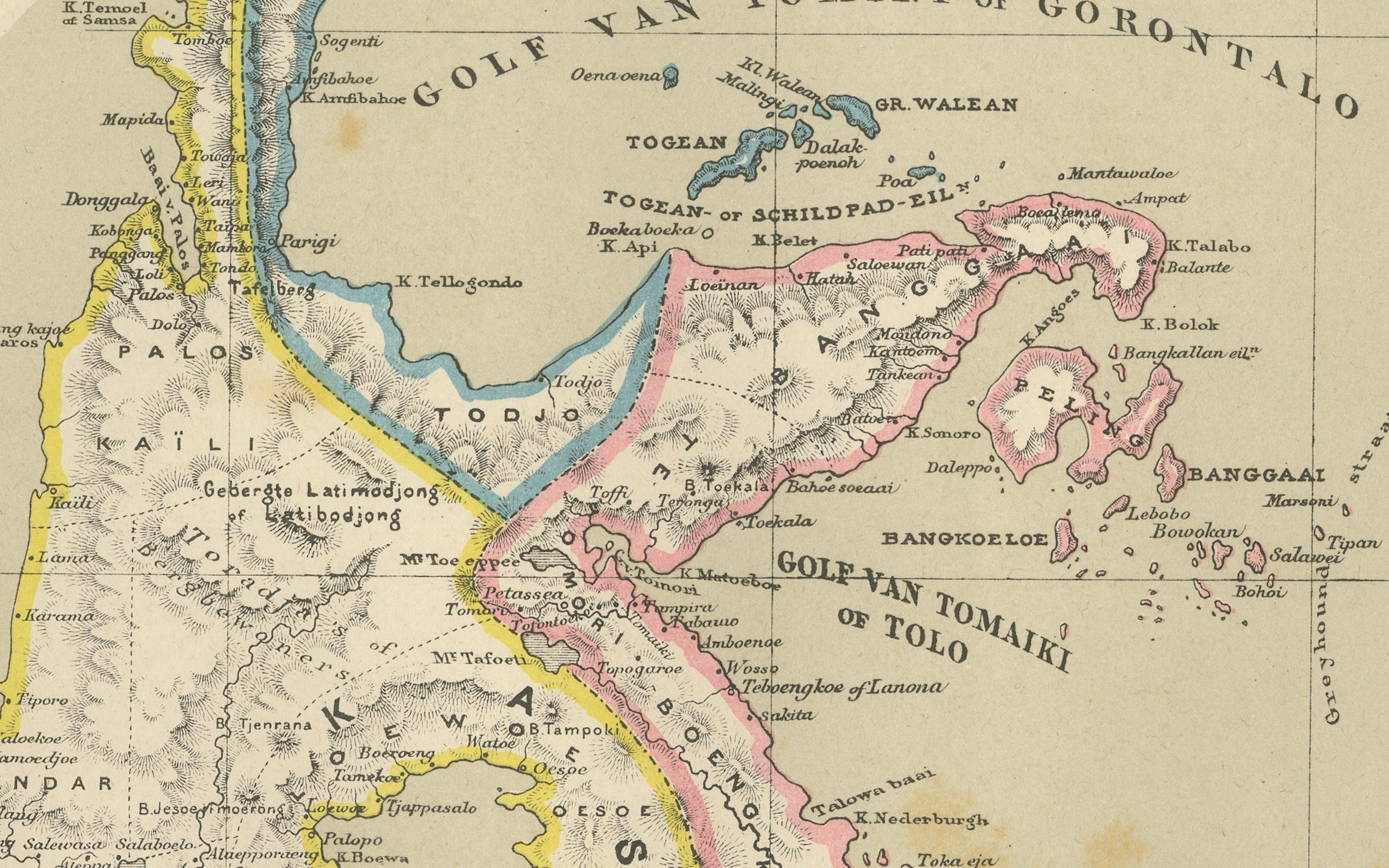
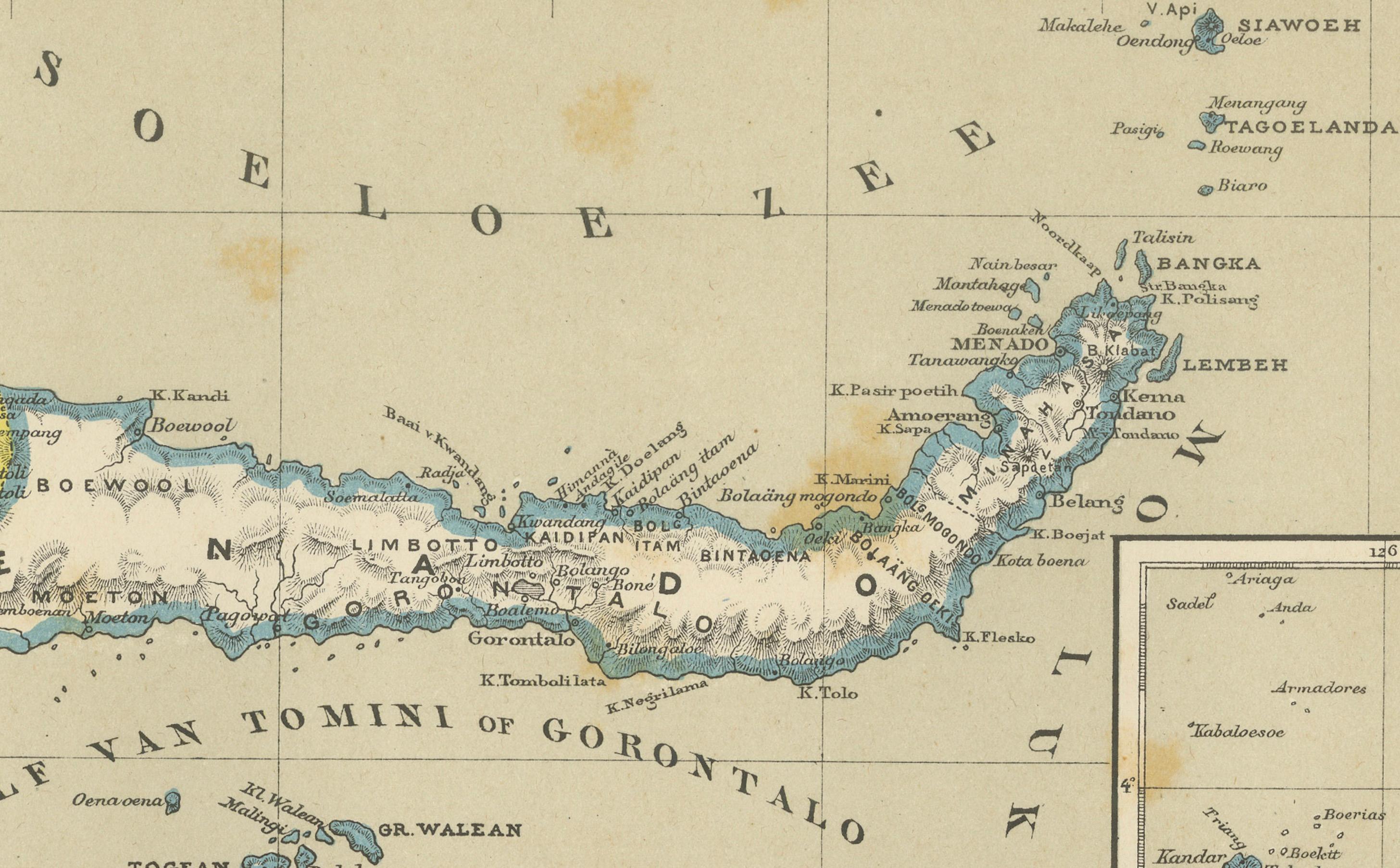
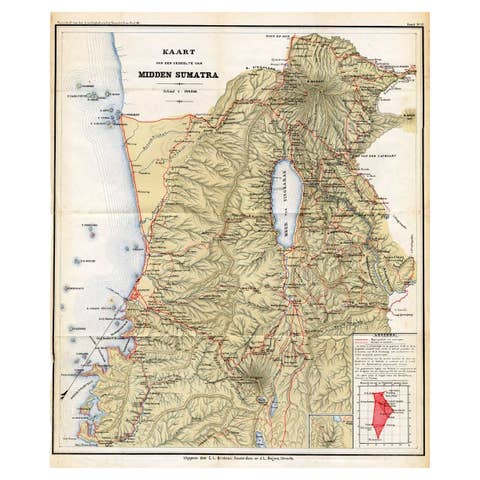
This beautiful and highly detailed antique map depicts the island of Celebes (modern-day Sulawesi) together with the Lesser Sunda Islands, including Flores, Timor, Lombok, Sumbawa, and surrounding regions of the Dutch East Indies. The map was published in Amsterdam by Seyffardt’s Boekhandel and reflects the height of Dutch colonial cartographic knowledge of Indonesia in the 19th century.
Rendered with fine precision and elegant original hand coloring, the map clearly distinguishes colonial administrative regions through a delicate color-coding system. Coastlines, mountain ranges, rivers, settlements, and maritime routes are carefully engraved, offering both geographic accuracy and strong decorative appeal. Insets provide additional regional detail, underscoring the importance of maritime navigation and territorial administration during the Dutch colonial period.
At the time of publication, Celebes and the surrounding island chains formed a critical part of the Dutch trading empire, serving as strategic hubs for spices, textiles, and maritime commerce. This map reflects not only geographic knowledge but also the political structure of colonial governance within the East Indies. The naming conventions, district boundaries, and shipping zones illustrate the deep entanglement between cartography and empire.
Visually, the map is exceptionally attractive. The rich yet restrained hand coloring, crisp engraving lines, balanced layout, and large format make it suitable for both historical collections and sophisticated interior display. It works equally well as a statement wall piece in a study, library, gallery, or modern living space where historical cartography adds intellectual depth and visual warmth.
Maps of this region are increasingly sought after due to the growing interest in Southeast Asian history, colonial expansion, and maritime exploration. This example offers an excellent balance between decorative presence and documentary value, making it desirable for collectors of Asian cartography, Dutch colonial material, and antique maps in general.
Condition report: Good antique condition. General toning consistent with age. Scattered foxing visible across the sheet. Clear plate impression. Margins intact. No major tears or losses observed.
Framing tips: This map frames beautifully with a soft off-white or light taupe mat and a medium-dark walnut, ebonized, or antique gilt frame. Museum glass is recommended to protect the original hand coloring and enhance contrast without glare.
Technique: Hand-colored lithograph
Maker: Seyffardt’s Boekhandel, Amsterdam, 19th century