Antique Maps of East Indies
73 original sheets
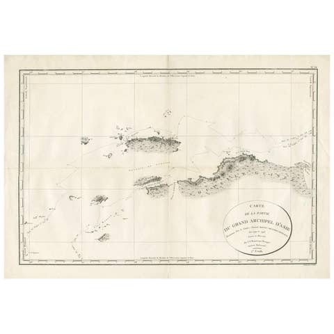
Antique Map of Indonesia by C.F. Beautemps-Beaupre, circa 1807
1807 · € 750
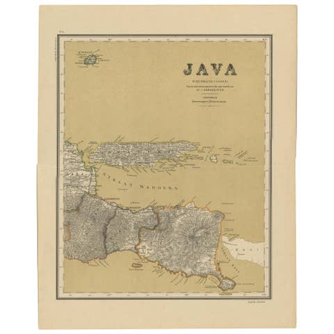
Antique Map of Java in 4 sheets by Dornseiffen, 1884
1884 · € 590
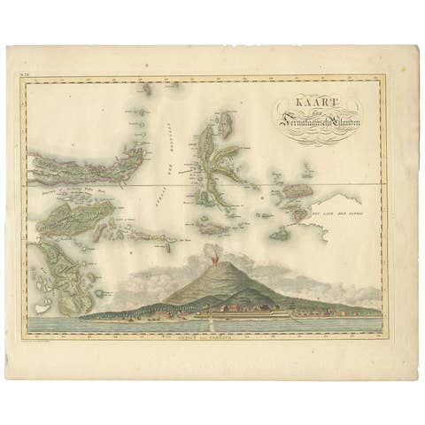
Antique Map of the Ternate Islands by Van den Bosch '1818'
1818 · € 829

Antique Map of Seram, Boero and the Banda Islands by Van den Bosch '1818'
1818 · € 1 078

Antique Map of Bantam, Jakarta and Cirebon by Van den Bosch '1818'
1818 · € 1 104
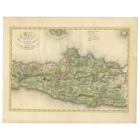
Antique Map of Central and East Java by Van den Bosch, 1818
1818 · € 1 104
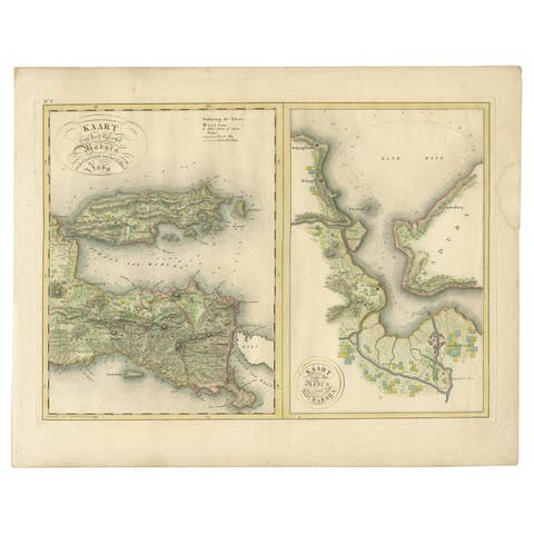
Antique Map of Madura and Surabaya by Van den Bosch, '1818'
1818 · € 1 104
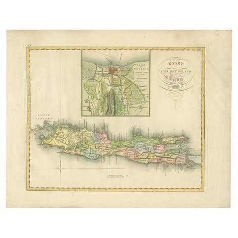
Antique Map of Java and Batavia of nowadays Indonesia, '1818'
1818 · € 829
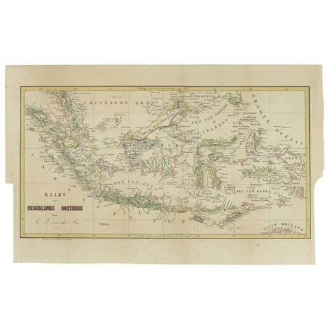
Antique Map of the East Indies by Van der Aa '1849'
1849 · € 400
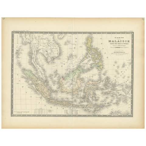
Antique Map of the East Indies by Levasseur, 1875
1875 · € 370
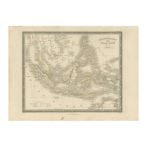
Antique Map of the East Indies by Wyld '1845'
1845 · € 350
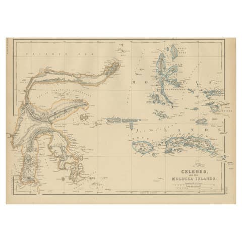
Antique Map of Celebes and the Maluku Islands by W. G. Blackie, 1859
1859 · € 200
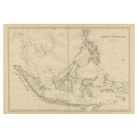
Antique Map of the East Indies by W. G. Blackie, 1859
1859 · € 275
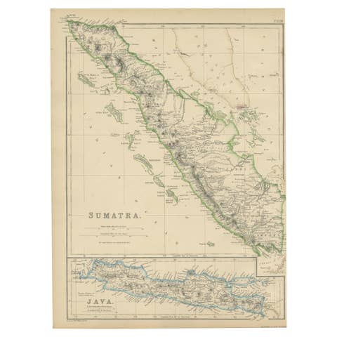
Antique Map of Sumatra by W. G. Blackie, 1859
1859 · € 200
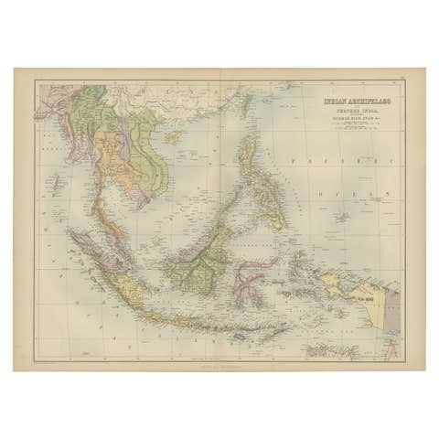
Antique Map of the East Indies by A & C. Black, 1870
1870 · € 275
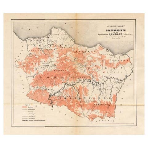
Antique Map of the Djati 'teak wood' Forest Near Rembang, Java by Stemler, 1875
1875 · € 270
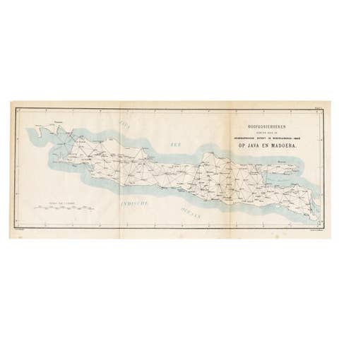
Old Map of Java, Indonesia by Stemler, 1875
1875 · € 70
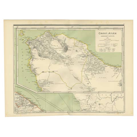
Antique Map of Aceh in Sumatra, Indonesia, 1900
1900 · € 290
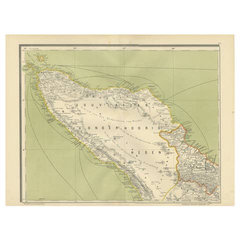
Antique Map of Aceh or Adjeh in Northern Sumatra, Indonesia, 1900
1900 · € 290
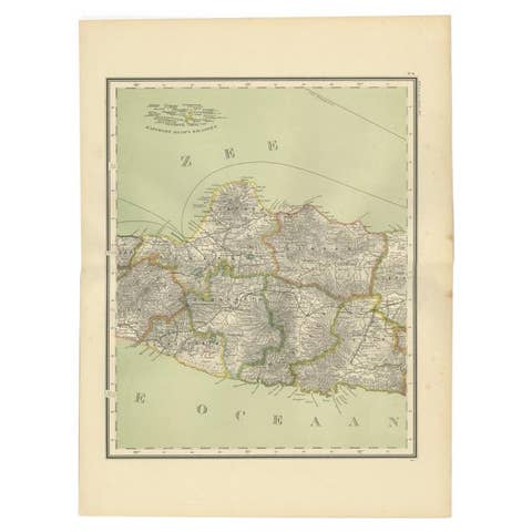
Antique Map of Central Java Depicting The Karimun Islands, Indonesia, 1900
1900 · € 260
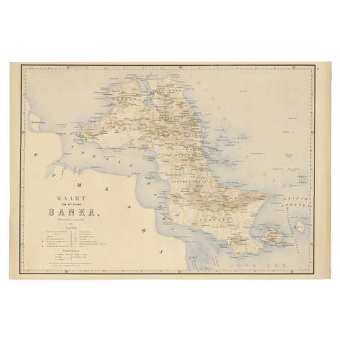
Antique Map of Bangka Island, Indonesia, 1885
1885 · € 272
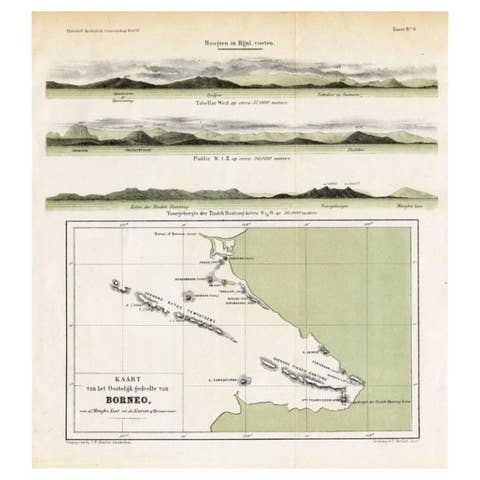
Antique Map of Eastern Borneo, Indonesia with Views of Mountain Ranges, c.1875
1875 · € 180

Scarce Antique Map of Lake Toba and Silindoeng on Sumatra, Indonesia, c.1875
1875 · € 166
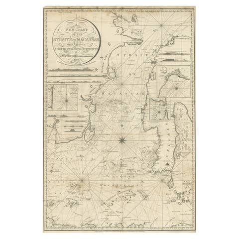
Antique Map of Straits of Makassar by J.W. Norie, Engraved Chart, 1820
1820 · € 2 750
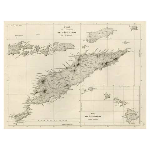
Rare Antique Map with Timor and Nearby Islands Plus an Inset of Hawaii, 1825
1825 · € 850
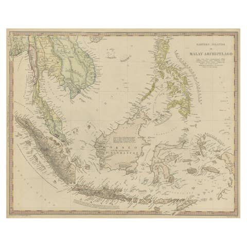
Original Antique Map of the Dutch East Indies, Nowadays Indonesia, ca.1840
1840 · € 240
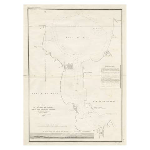
Detailed Map of the Madura Strait, between Java & Madura Island, Indonesia, 1825
1825 · € 1 250
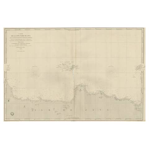
Early French Nautical Chart of the Northern Coast of of Java, Indonesia, C.1850
1850 · € 1 150
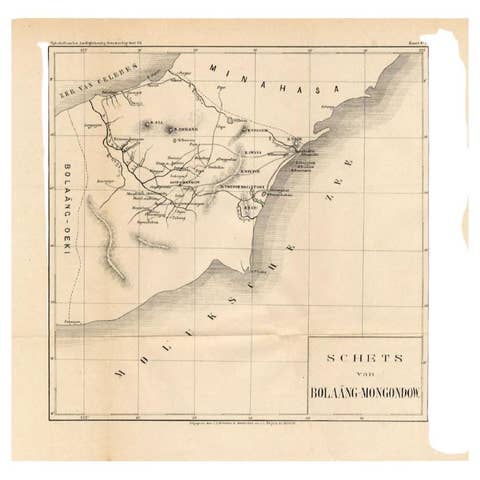
Antique Map of the Bolaang Mongondow District on Sulawesi by Stemler, c.1875
1875 · € 63
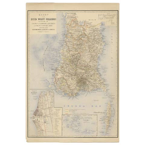
Antique Map of Southern Sulawesi by Stemfoort, 1885
1885 · € 265

Antique Map of Taluti Bay by Stemler, C.1875
1875 · € 123

Antique Map of Sumatra by Tardieu, 1811
1811 · € 235
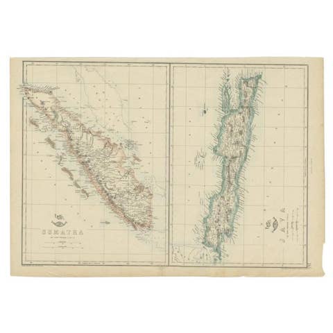
Antique Map of Sumatra and Java by Weller, c.1860
1860 · € 123
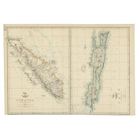
Antique Map of Sumatra and Java by Weller, c.1860
1860 · € 133
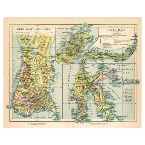
Antique Map of Sulawesi by Winkler Prins, c.1900
1900 · € 73
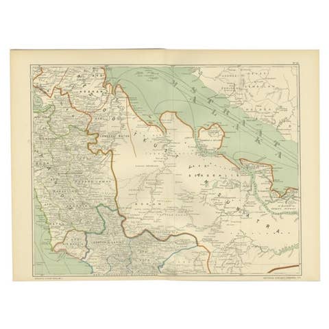
Antique Map of the East Coast of Sumatra , Indonesia, 1900
1900 · € 115
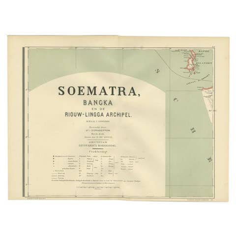
Antique Map of the Batu Islands by Dornseiffen, 1900
1900 · € 85
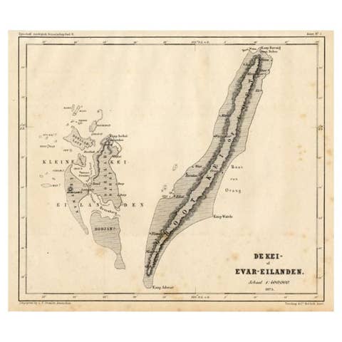
Antique Map of the Kai Islands by Stemler, c.1875
1875 · € 63
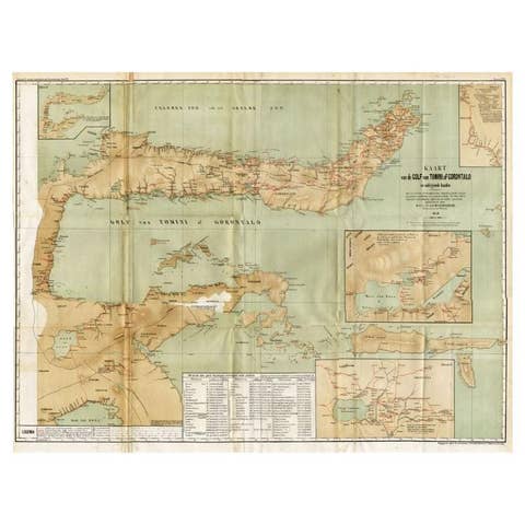
Antique Map of the Gulf of Tomini by Winkler Prins, 1878
1878 · € 185
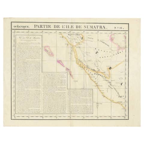
Detailed Antique Map of the Western Sumatra, Indonesia, circa 1825
1825 · € 420
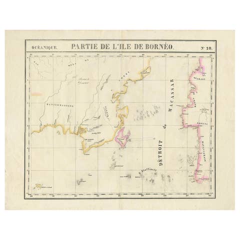
Detailed Antique Map of a Portion of Borneo and Sulawesi in Indonesia, c.1825
1825 · € 540

Antique Map of Part of Borneo 'Kalimantan' Indonesia by Vandermaelen, C.1825
1825 · € 620
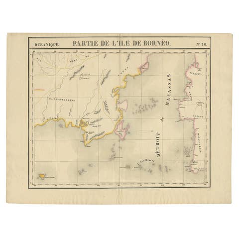
Antique Map of Part of Borneo 'Kalimantan' Indonesia, by Vandermaelen, C.1825
1825 · € 620

Old Map of the Moluccas and Part of Sulawesi Indonesia by Vandermaelen, c 1825
1825 · € 338
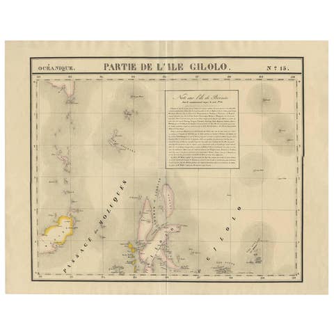
Antique Map of Southern Mindanao, Sulawesi and Gilolo Halmahera, Indonesia, 1827
1827 · € 522
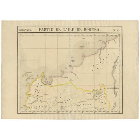
Antique Map of Borneo and Malaysia by P.M.G. Vandermaelen, 1827
1827 · € 395
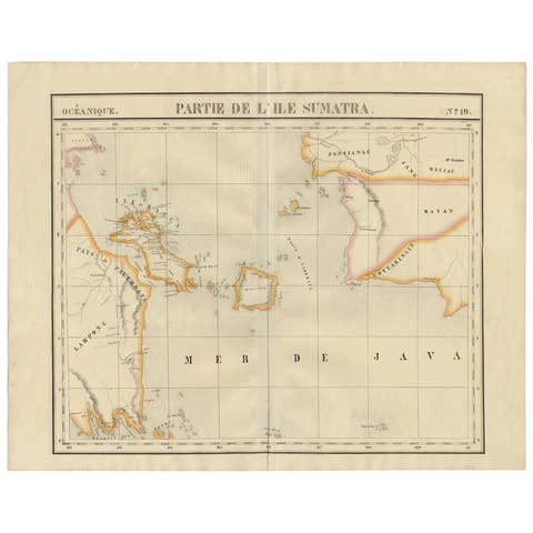
Antique Map of South Sumatra by P.M.G. Vandermaelen, 1827
1827 · € 495
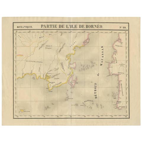
Antique Map of Southeast Borneo by P.M.G. Vandermaelen, 1827
1827 · € 565