About this sheet
Antique Blaeu Maps, Indonesia & Moluccas – VOC Era, c.1642
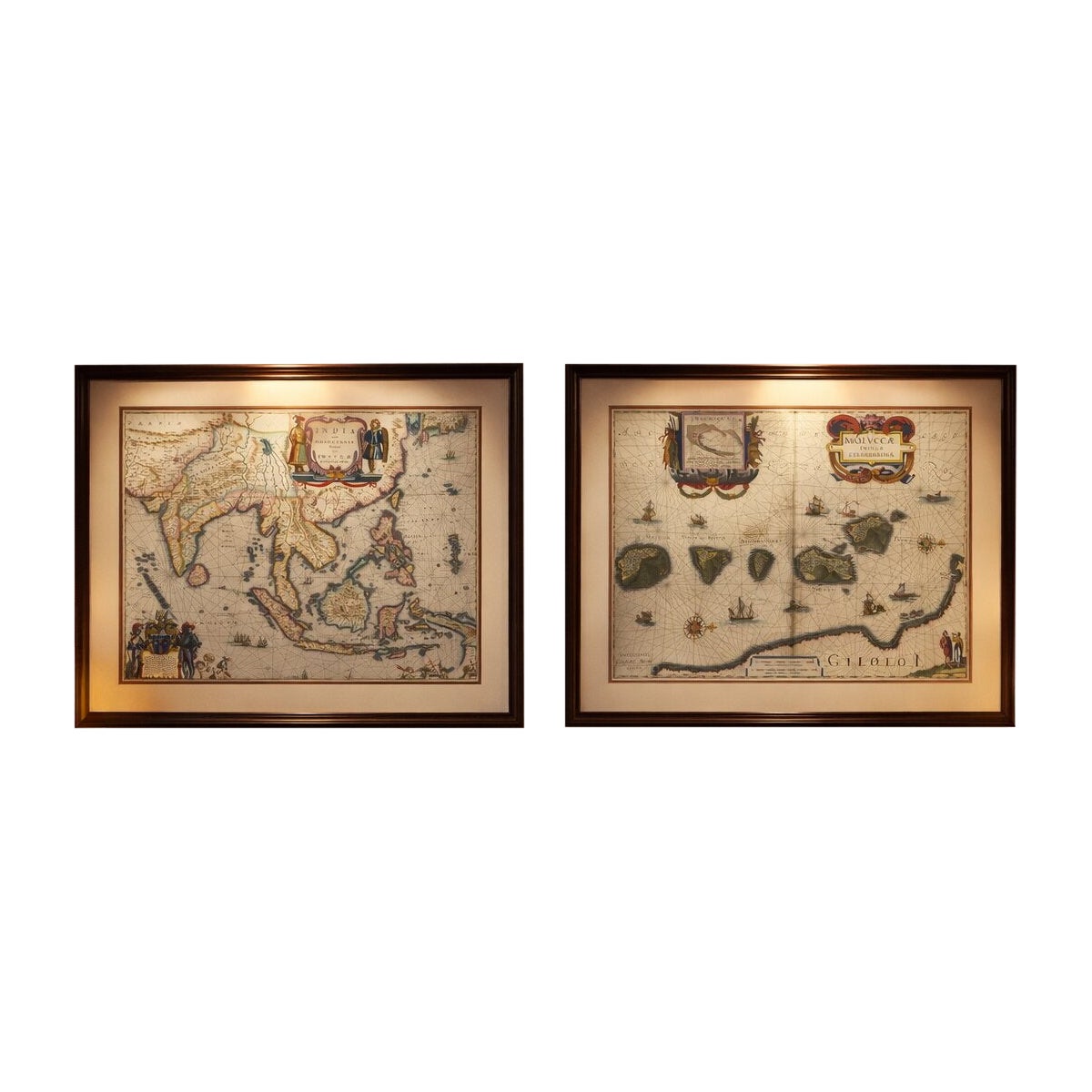
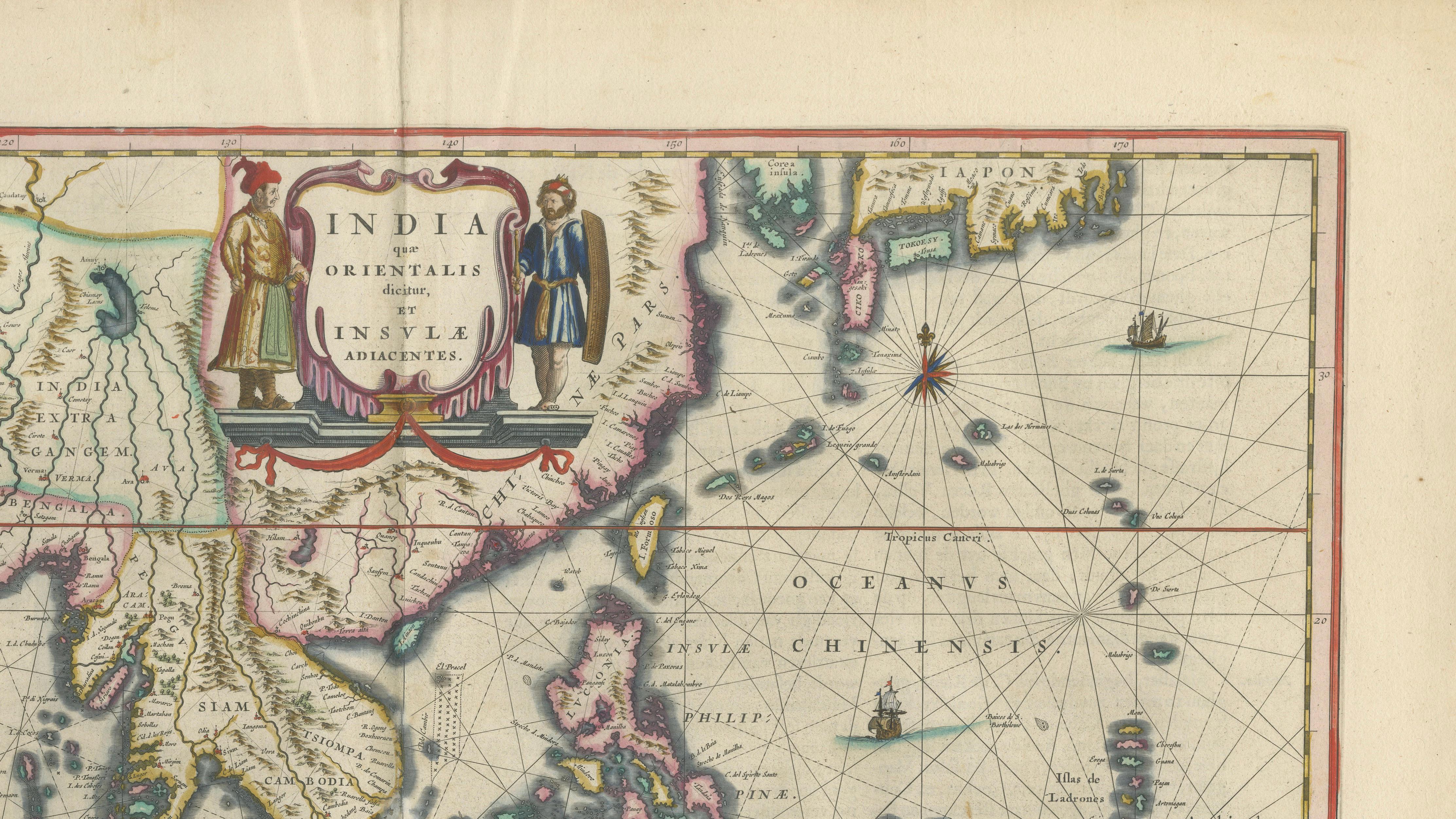
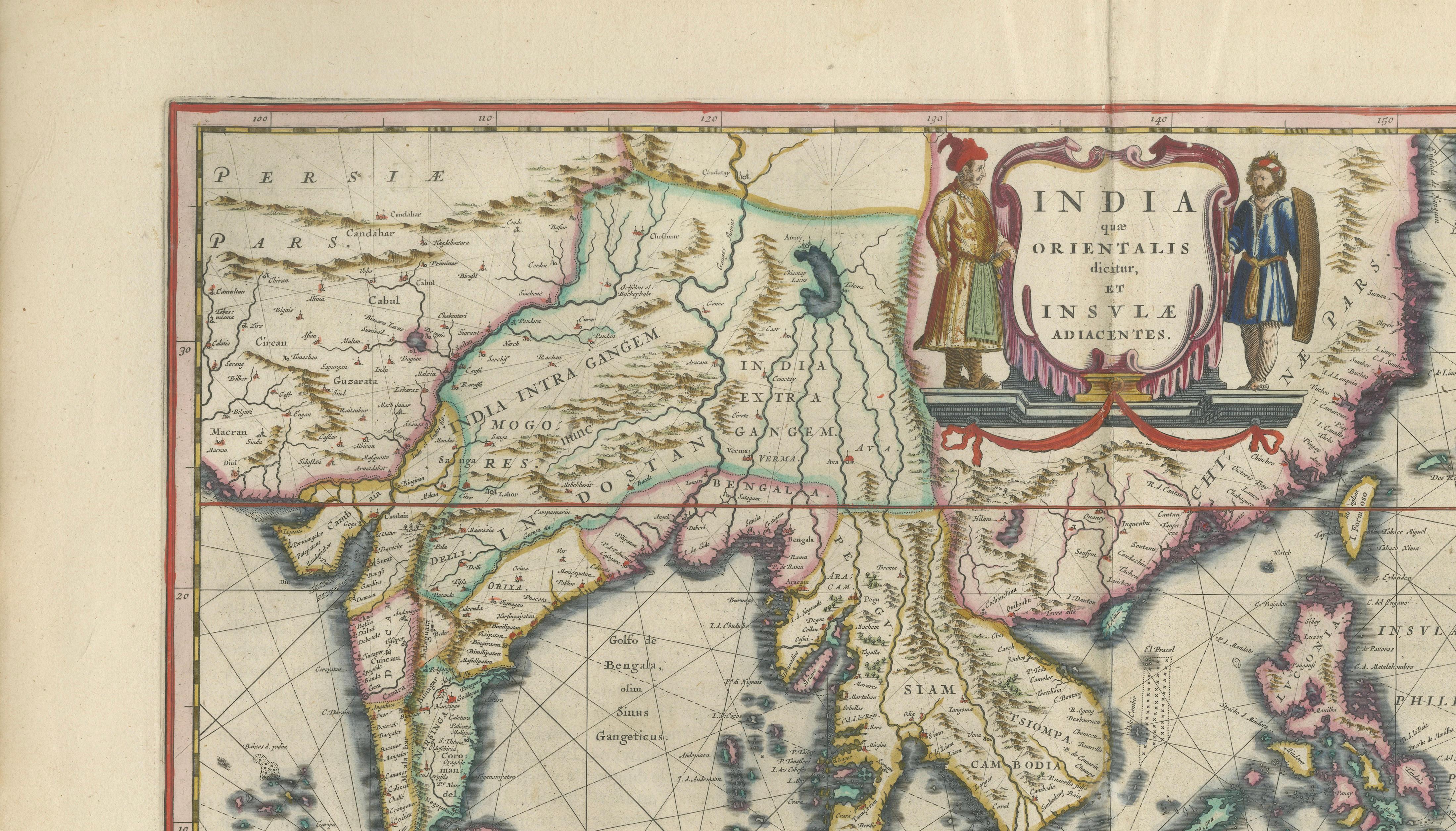
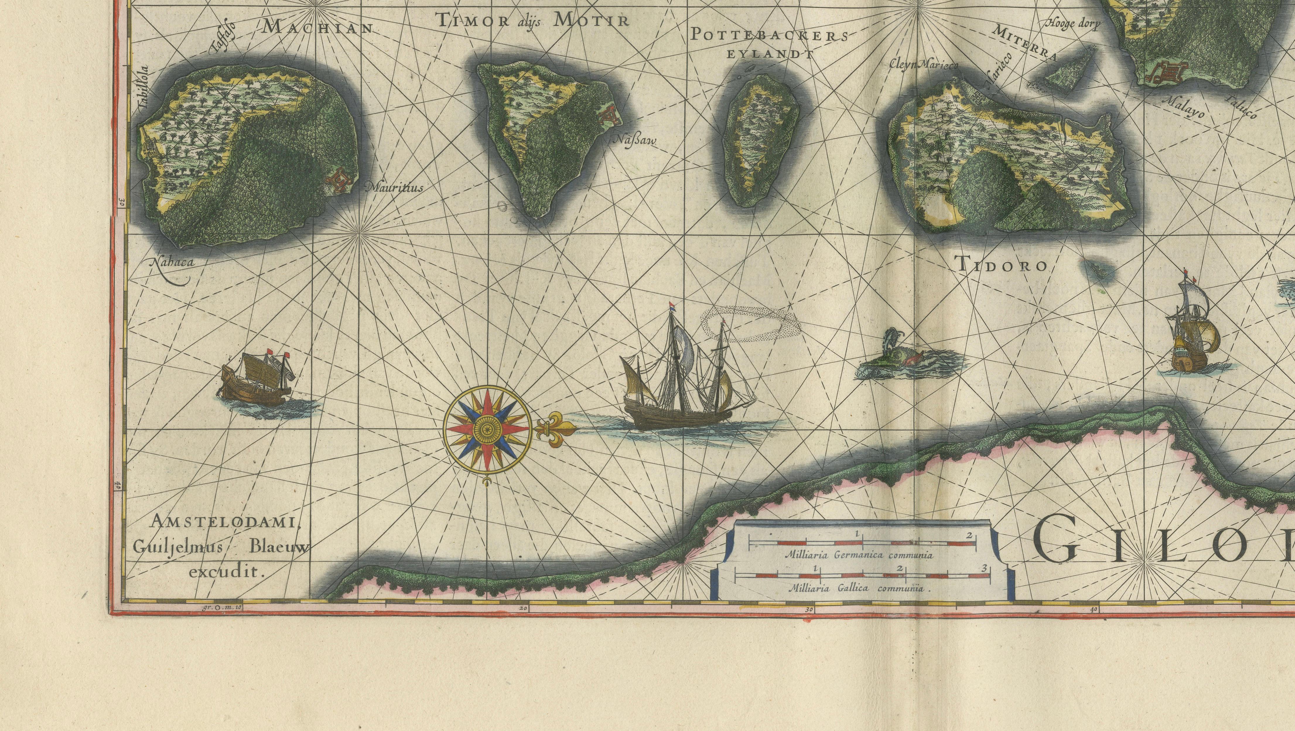
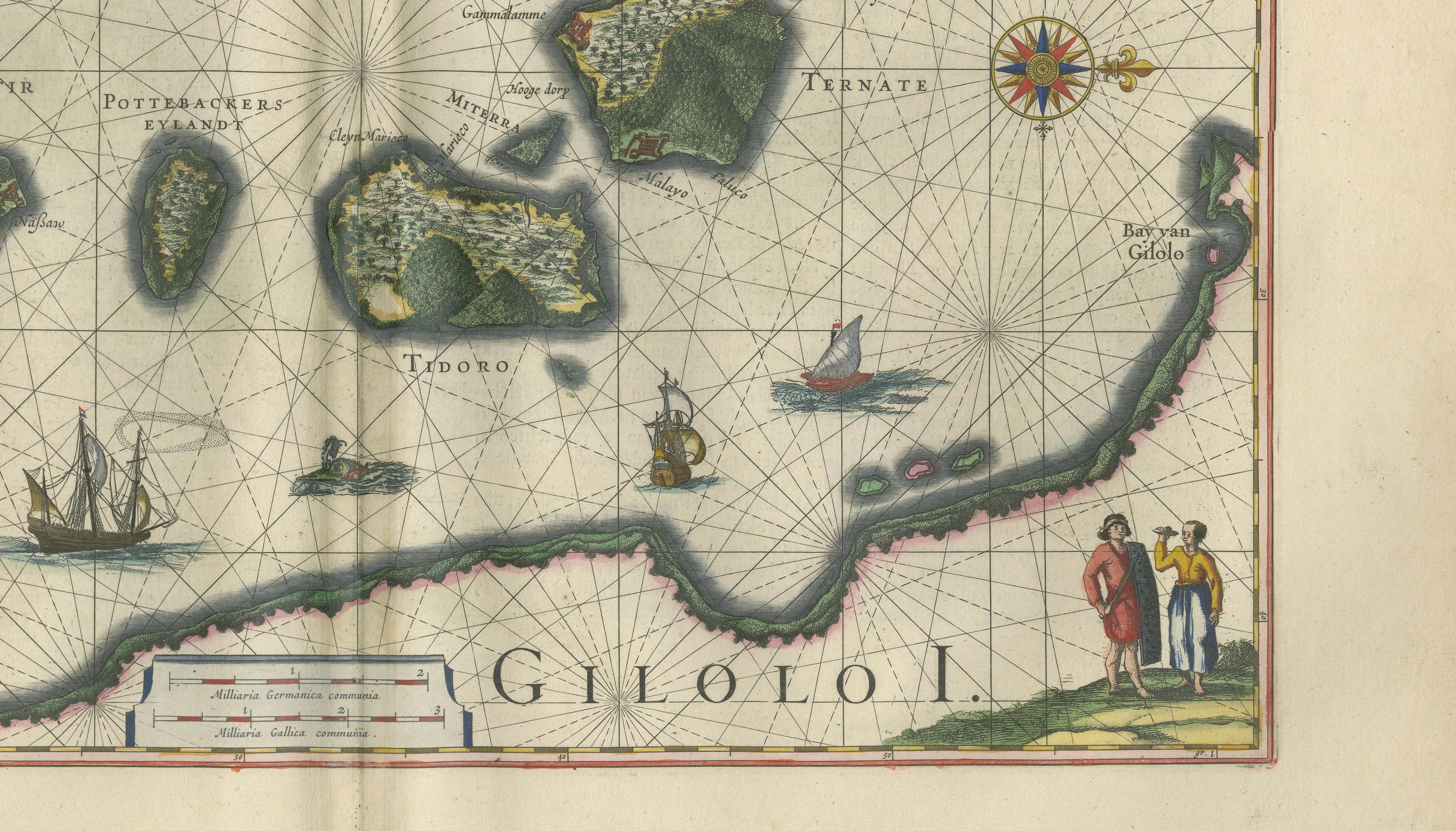
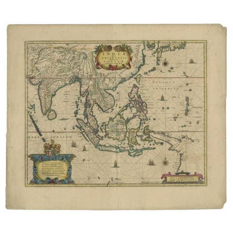
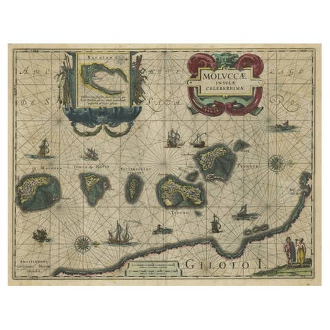
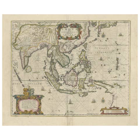
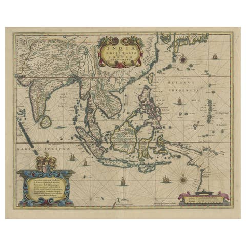
A rare and highly decorative pair of original 17th-century maps by Willem Blaeu, depicting Indonesia and the Moluccas—the heart of the historic spice trade. Richly hand-colored and engraved at the height of the Dutch Golden Age, these maps capture the geography and ambition of the VOC in Southeast Asia.
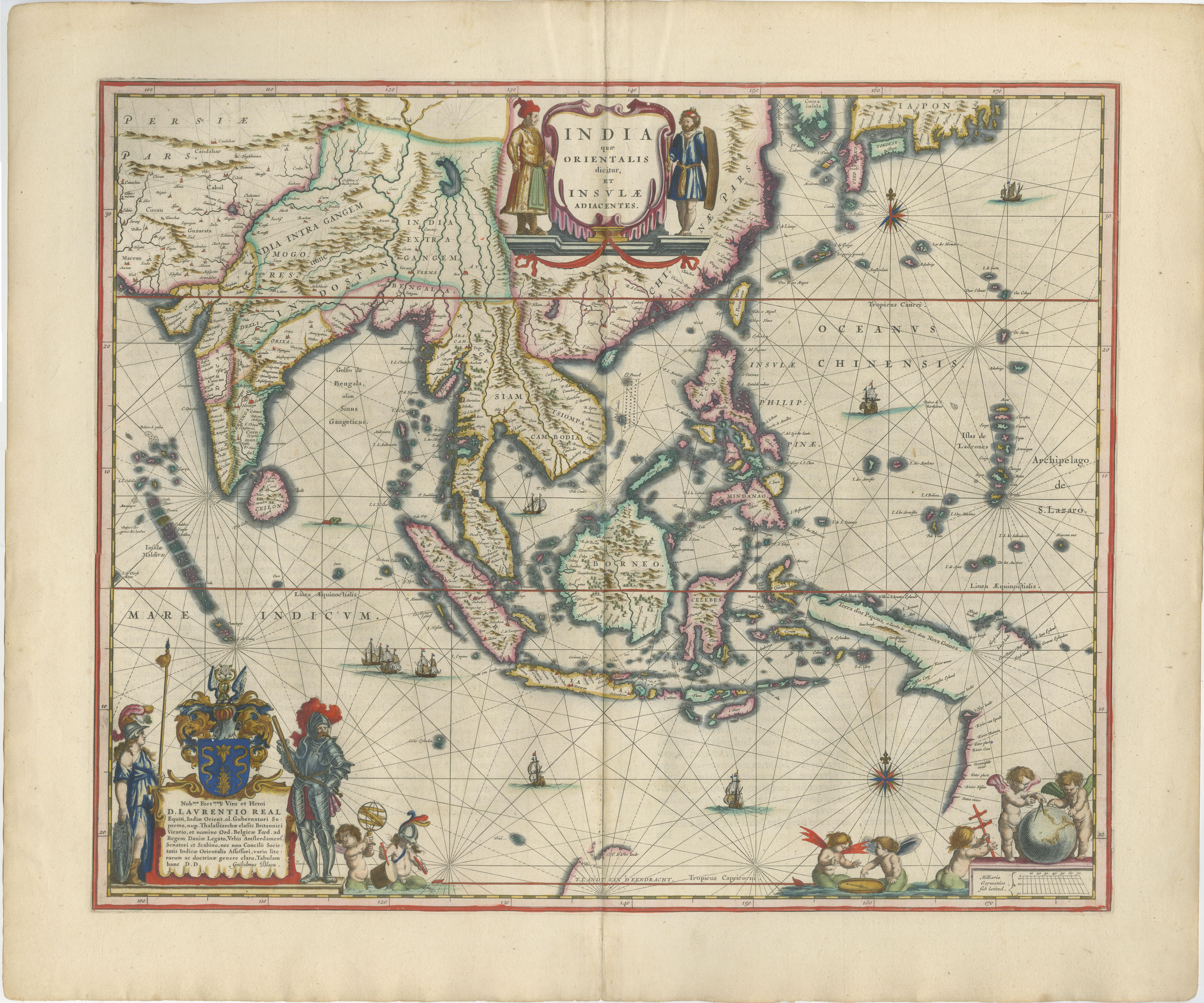
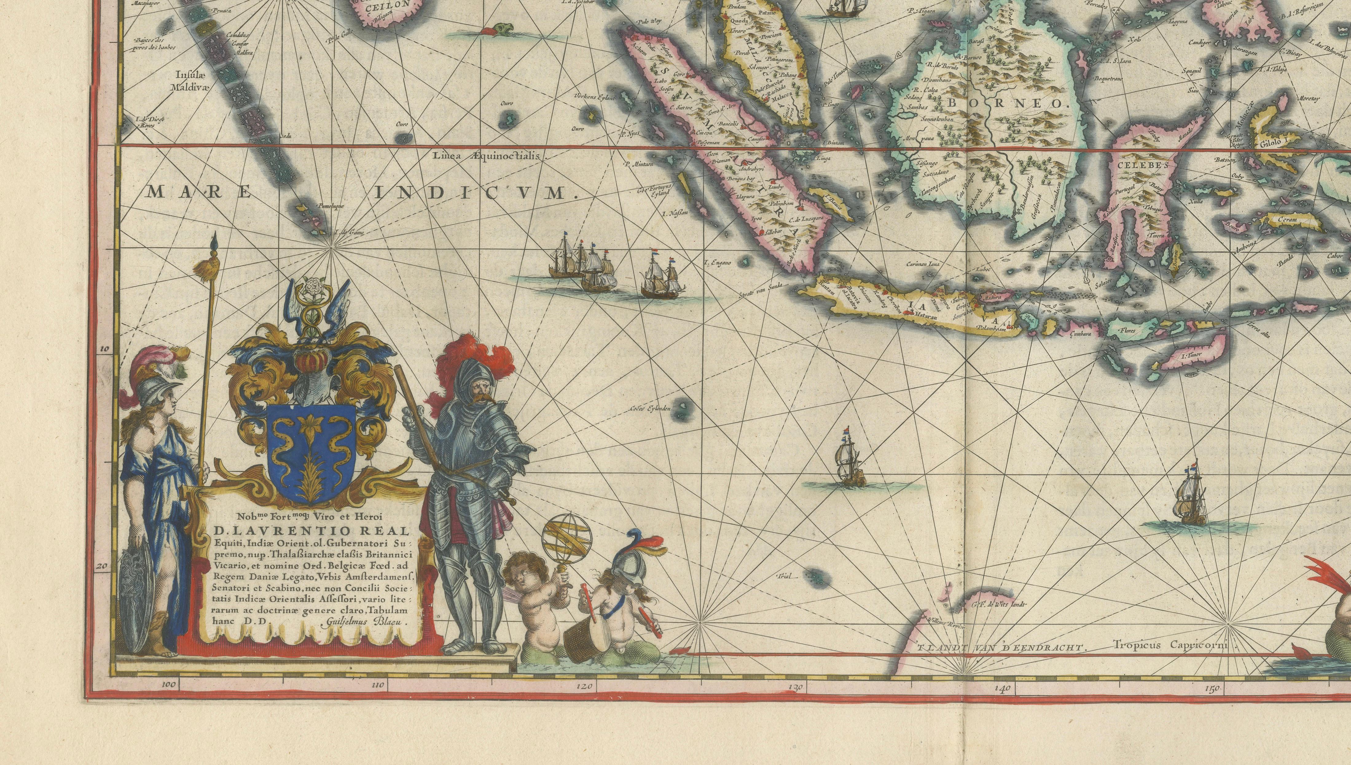
The larger map, “India quae Orientalis dicitur et Insulae Adiacentes,” presents a sweeping view of South and Southeast Asia, including India, Indochina, and the Indonesian archipelago. It reflects the expanding geographic knowledge of the Dutch East India Company (VOC) during its rise as a dominant global trading power.
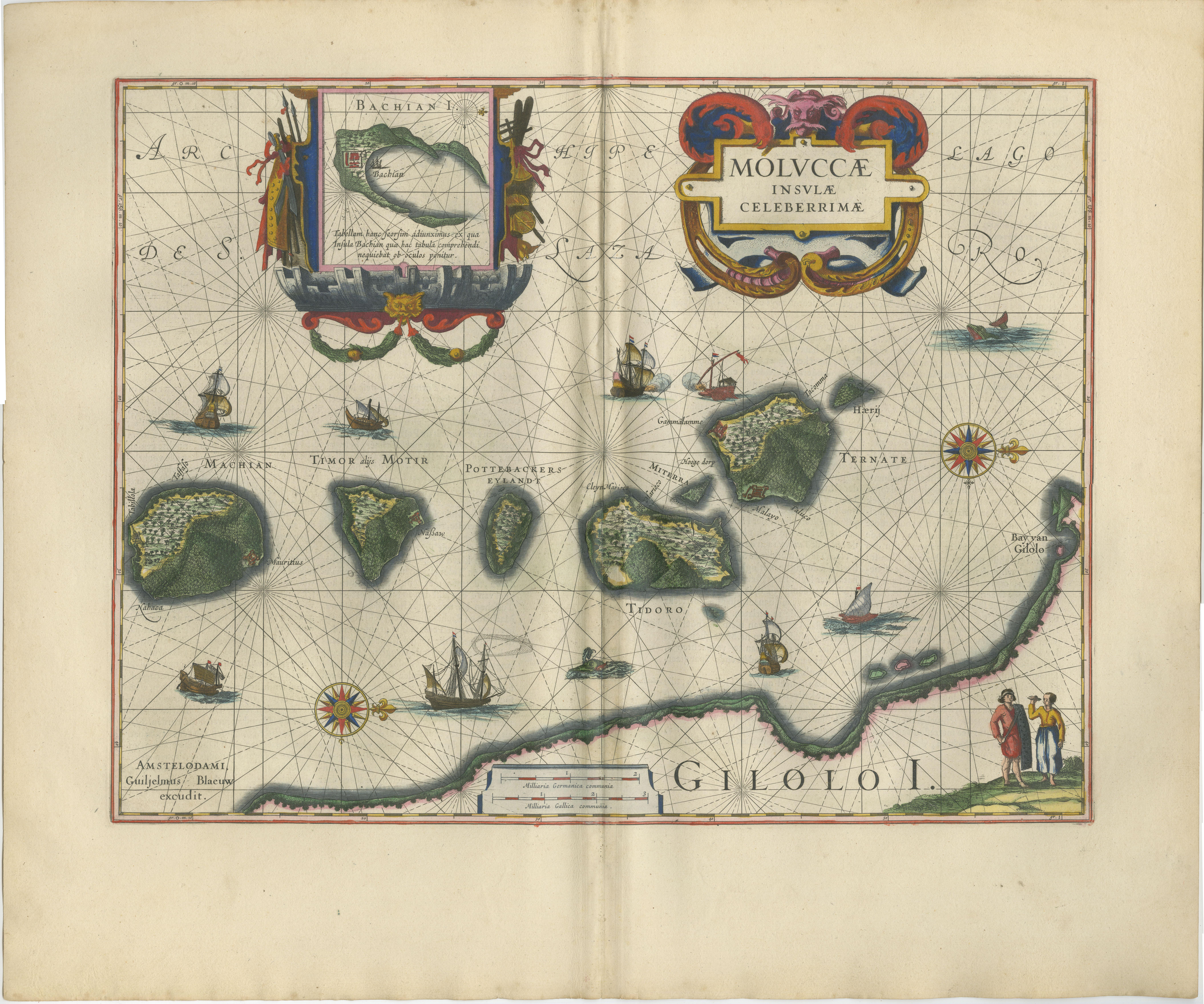
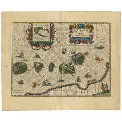
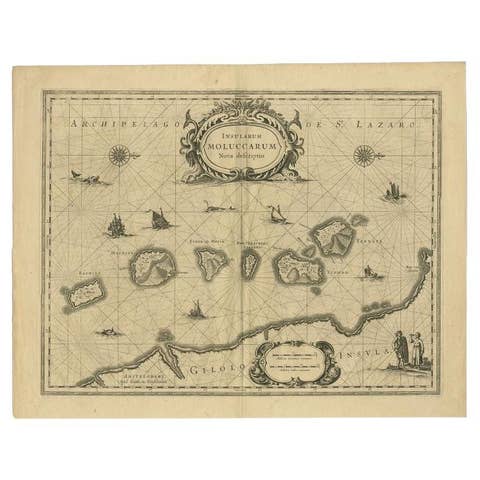
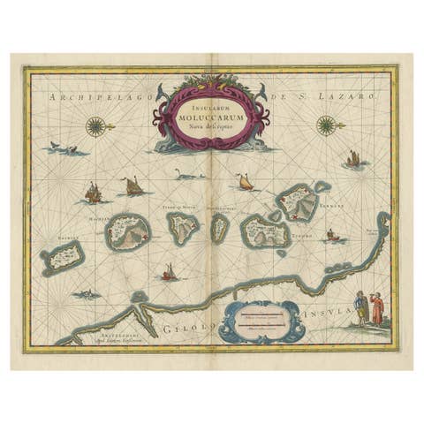
Complementing this is the iconic “Moluccae Insulae Celeberrimae,” a detailed map of the Spice Islands, the epicenter of the global clove and nutmeg trade. The map is richly adorned with sailing ships, compass roses, and a striking cartouche, alongside an inset of Bachian Island, underscoring the strategic importance of the region.
Together, these maps form a compelling visual narrative: from the broader Asian trading network to the highly contested and lucrative spice-producing islands. As a pair, they offer both geographical scope and detailed insight, making them particularly desirable for collectors and interior designers seeking a cohesive and historically resonant display.
This combination is especially appealing for Southeast Asian, maritime, or colonial-themed interiors, where the connection between global trade routes and the Moluccan spice trade can be appreciated as a unified story.
Note: Interior mockups shown are for visual inspiration only and do not represent the exact scale. We do not sell reproductions, only original works of art over 100 years old.
Condition:
Both maps in very good condition, with original hand color. Light toning consistent with age. Central fold as issued. Margins good. No major restorations visible. Plate marks visible.
Framing tips:
Best presented as a pair in matching dark walnut frames with wide ivory mats. Hang with the India map centered and the Moluccas map slightly offset or below for a layered gallery effect. Creates a strong narrative wall suitable for luxury interiors.
Technique: Copperplate engraving
Maker: Willem Janszoon Blaeu, Amsterdam, c.1635–1645
Keywords: antique map, Blaeu map, Willem Blaeu, Dutch Golden Age, 17th century map, VOC map, Dutch East India Company, East Indies map, Southeast Asia map, Indonesia map, Moluccas map, Spice Islands map, India Orientalis, antique cartography, hand colored map, copperplate engraving, maritime map, nautical chart, historical map Asia, colonial map, decorative map, framed antique maps, map pair, gallery wall maps, rare map, atlas Blaeu, Amsterdam cartography, old world map, luxury interior art, global trade routes, spice trade history, exploration era, 1600s map, museum quality map, investment art, interior design statement
Singapore, Bali, Java, Sumatra, Borneo, Celebes, Sulawesi, Philippines, Malacca, Maluku, Banda Islands, Ambon, Ternate, Tidore, Batavia, Jakarta, Siam, Thailand, Vietnam, Cambodia, India, Ceylon, Sri Lanka, China Sea, Pacific Ocean, Indian Ocean