Antique Maps of West Asia & the Holy Land
319 original sheets
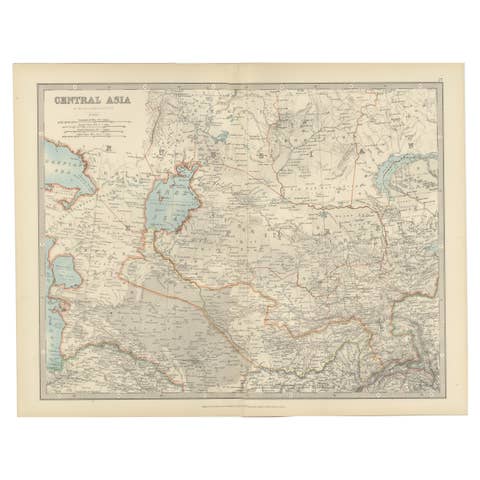
Antique Map of Central Asia - Featuring the Caspian Sea and Silk Road Regions
€ 320

Antique Map of Persia and Afghanistan, 1903, with Delicate Pastel Borders
1903 · € 320
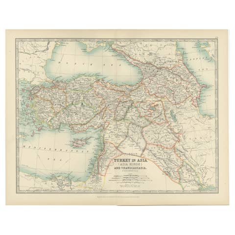
Antique Map of Turkey in Asia (Asia Minor and Transcaucasia), 1903
1903 · € 290
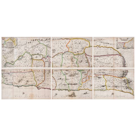
1658 Large Map of the Holy Land by Jansson – Twelve Tribes of Israel in 6 Sheets
1658 · € 3 700
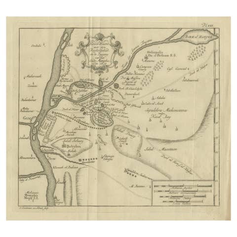
Cairo, Babylon & Heliopolis – Antique Map of Ancient Memphis Region, 1776
1776 · € 440
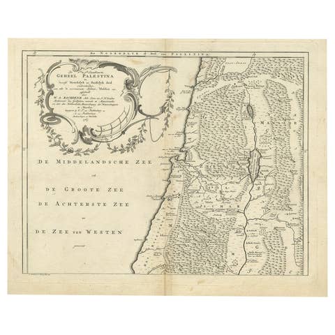
Antique Map of Northern Palestine with The Tribes of Israel. Dutch, 1763
1763 · € 420
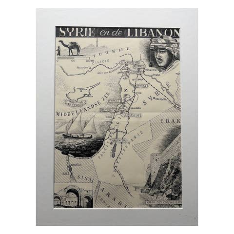
Original Illustration Map of Syria & Lebanon, Charles Burki, 1947 – Ink Drawing
1947 · € 990
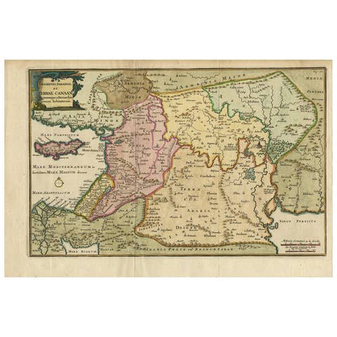
Antique Map of the Holy Land and Paradise – Terrae Canaan Map, c.1720
1720 · € 440

Persia, Afghanistan and Beloochistan, Antique Map of Iran Region, Blackie 1860
1860 · € 490
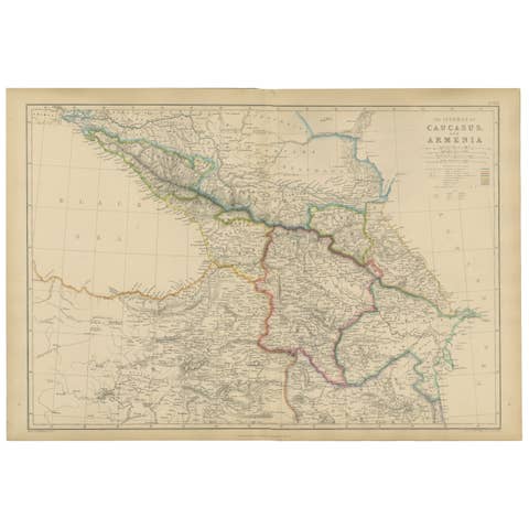
Isthmus of Caucasus and Armenia, Antique Map, Black Sea to Caspian, 1860
1860 · € 450

Arabia, Antique Map of the Arabian Peninsula, Blackie Atlas 1860
1860 · € 660
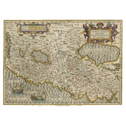
Holy Land Map – Terra Sancta Palestina, Hondius, Hand-Colored Engraving c.1620
1620 · € 1 190
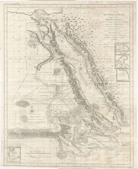
Antique Map of the Red Sea, Gulf of Arabia and Nile Sources, c.1750
1750 · € 790
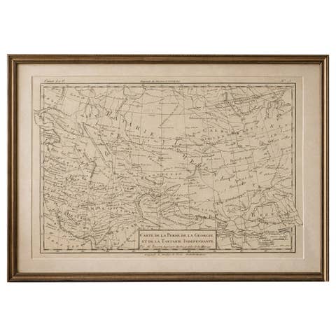
Antique Map of Persia, Georgia and Tartary, Bonne, c.1780
1780 · € 385
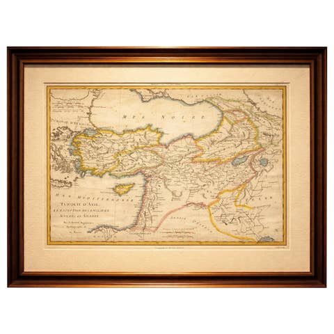
Antique Map of Turkey in Asia, Middle East and Persia, Bonne, c.1780
1780 · € 690

Holy Land Map Palestine Homann Heirs, Hand Colored, c.1744
1744 · € 990
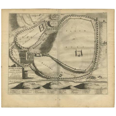
Antique Bible Plan of Jerusalem by Covens & Mortier, 1743
1743 · € 350
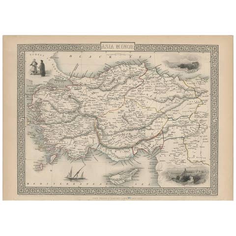
Antique Map of Asia Minor by J. Tallis, circa 1851
1851 · € 280
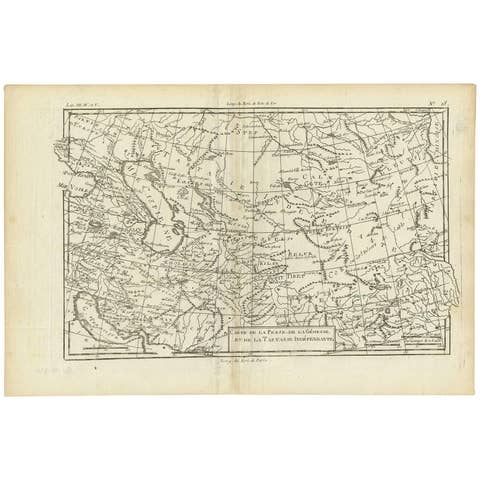
Antique Map of the Persian Gulf and Caspian Sea Region by R. Bonne, 1780
1780 · € 127
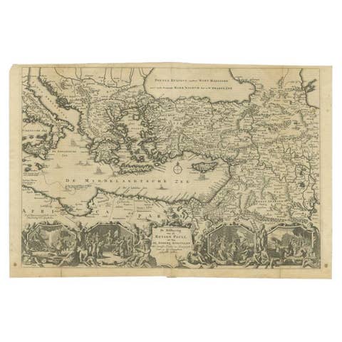
Antique Map of the Eastern Mediterranean, C.1710
1710 · € 440

Antique Map of the Empire of the Assyriens by Mallet, 1683
1683 · € 280
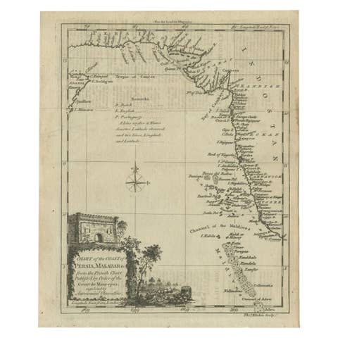
Antique Map of the Coast of Southwest Asia by Kitchin, c.1770
1770 · € 113
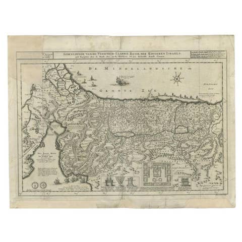
Antique Map of the Holy Land by Danckerts, c.1710
1710 · € 357
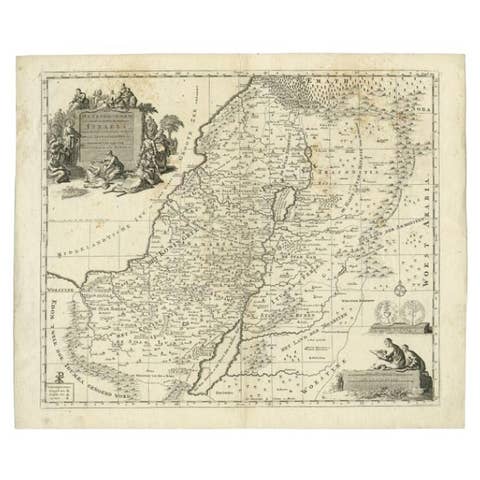
Antique Map of the Holy Land by Van Luchtenburg, c.1720
1720 · € 140

Antique Map of the Middle East by Perthes, 1848
1848 · € 99
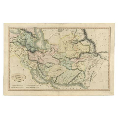
Antique Map of the Middle East by Smith, 1809
1809 · € 135
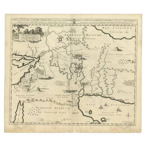
Antique Map of the Middle East by Mortier, 1700
1700 · € 240
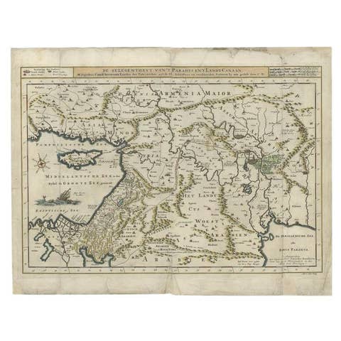
Antique Map of the Mediterranean and the Persian Gulf by Danckerts, c.1718
1718 · € 410
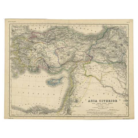
Original Antique Map of the Middle East, Published in Germany, c.1870
1870 · € 190

Very Old Antique Map of the Persian Empire by Magini, c.1597
1597 · € 240
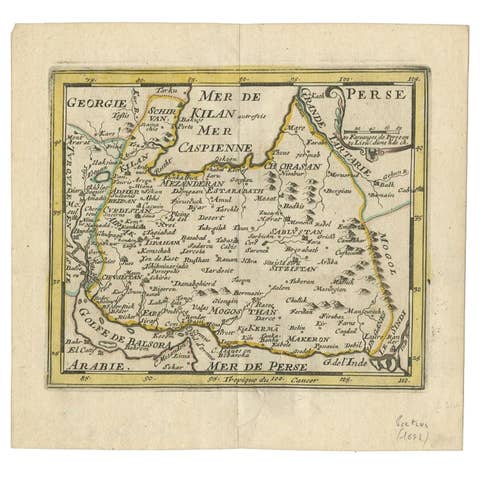
Rare Small Antique Map of the Persian Empire, 1692
1692 · € 320
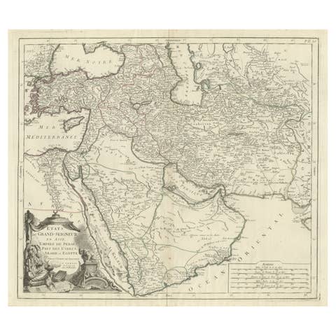
Detailed Original Antique Map of the Turkish Empire with Arabia, 1778
1778 · € 1 020
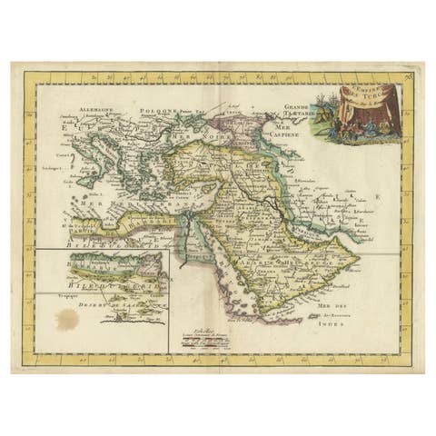
Orginal Antique Handcolored Map of the Turkish Empire, 1748
1748 · € 440
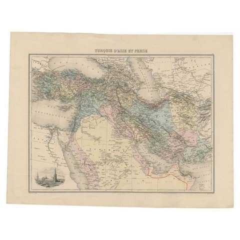
Antique Map of the Turkish Empire and Persia, circa 1890
1890 · € 131

Antique Map by Pierre M. Lapie, Turkey, Persia, Afghanistan, 1842
1842 · € 380
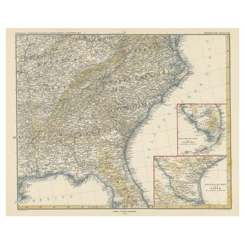
Antique Map of the Region of Georgia with Inset Maps of Florida and Texas
circa 1879 · € 880
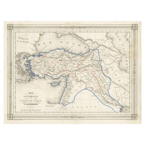
Antique Map of Turkey in Asia, with Frame Style Border
circa 1850 · € 190
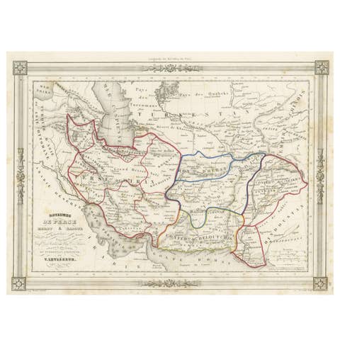
Persia Unveiled: Antique Map of Iran, Afghanistan, and Beyond, 1852
1852 · € 160
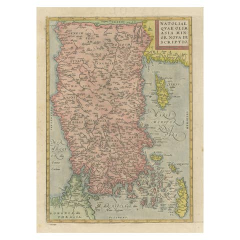
Asia Minor – Antique Map of Natolia by Ortelius, Theatrum Orbis Terrarum c.1600
1600 · € 440
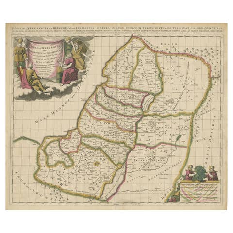
Antique Map of the Holy Land, Showing the Location of the Various Tribes
circa 1700 · € 1 200
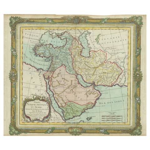
Antique Map of the Middle East with a Large Arabia, 1799
1799 · € 1 490
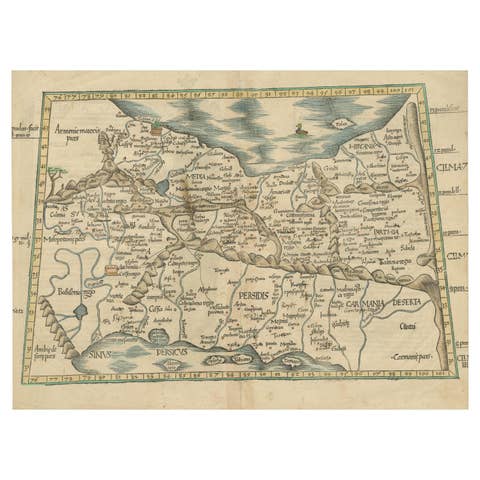
Original Antique Woodcut Map of Persia
€ 590
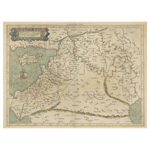
Mercator's Ptolemaic Map of the Holy Land, Cyprus and Syria, circa 1580
1580 · € 690

Antique Map of Asia Minor, Egypt & Carthage – Ortelius Theatrum 1572
1572 · € 690

Old Map of the Arabian Peninsula with Parts of Egypt, Sudan, Eritrea & Ethiopia
€ 380
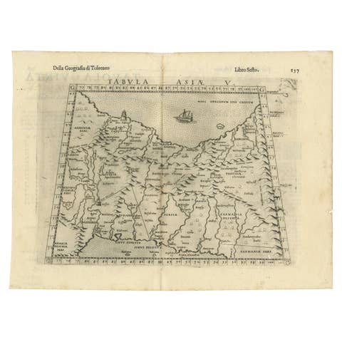
Old Ptolemaic Map of the Region Between the Persian Gulf and Caspian Sea, 1598
1598 · € 400
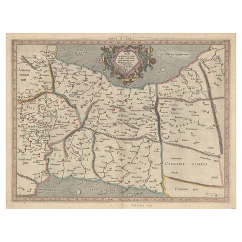
Exploring Ancient Persia: Ptolemaic Map of Iran and Iraq by Ptolemy and Mercator
€ 490
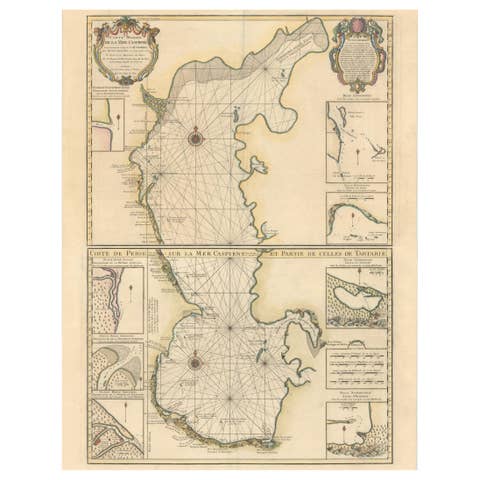
Fabulous Original Antique two-sheet Map of the Caspian Sea, ca.1723
1723 · € 2 200