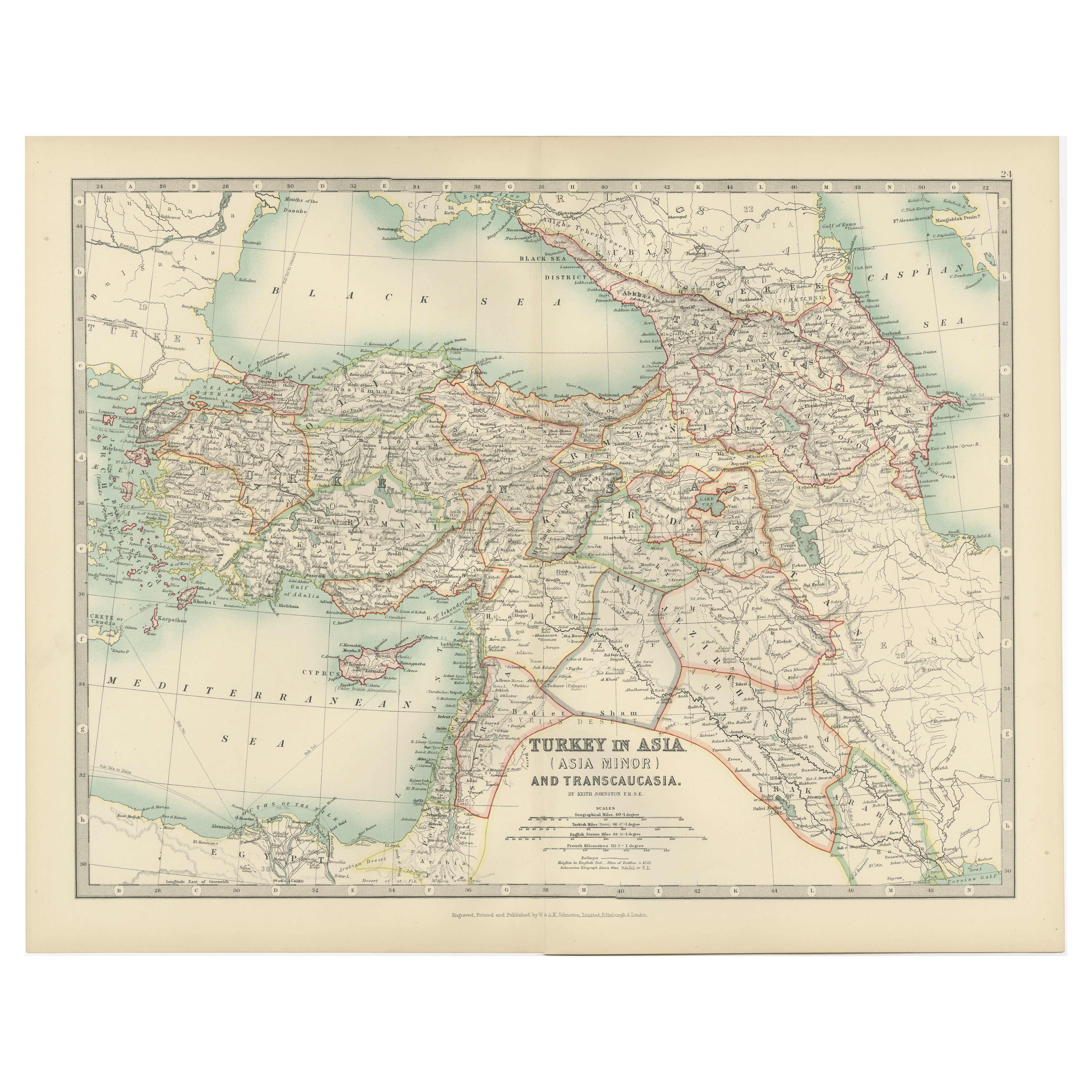
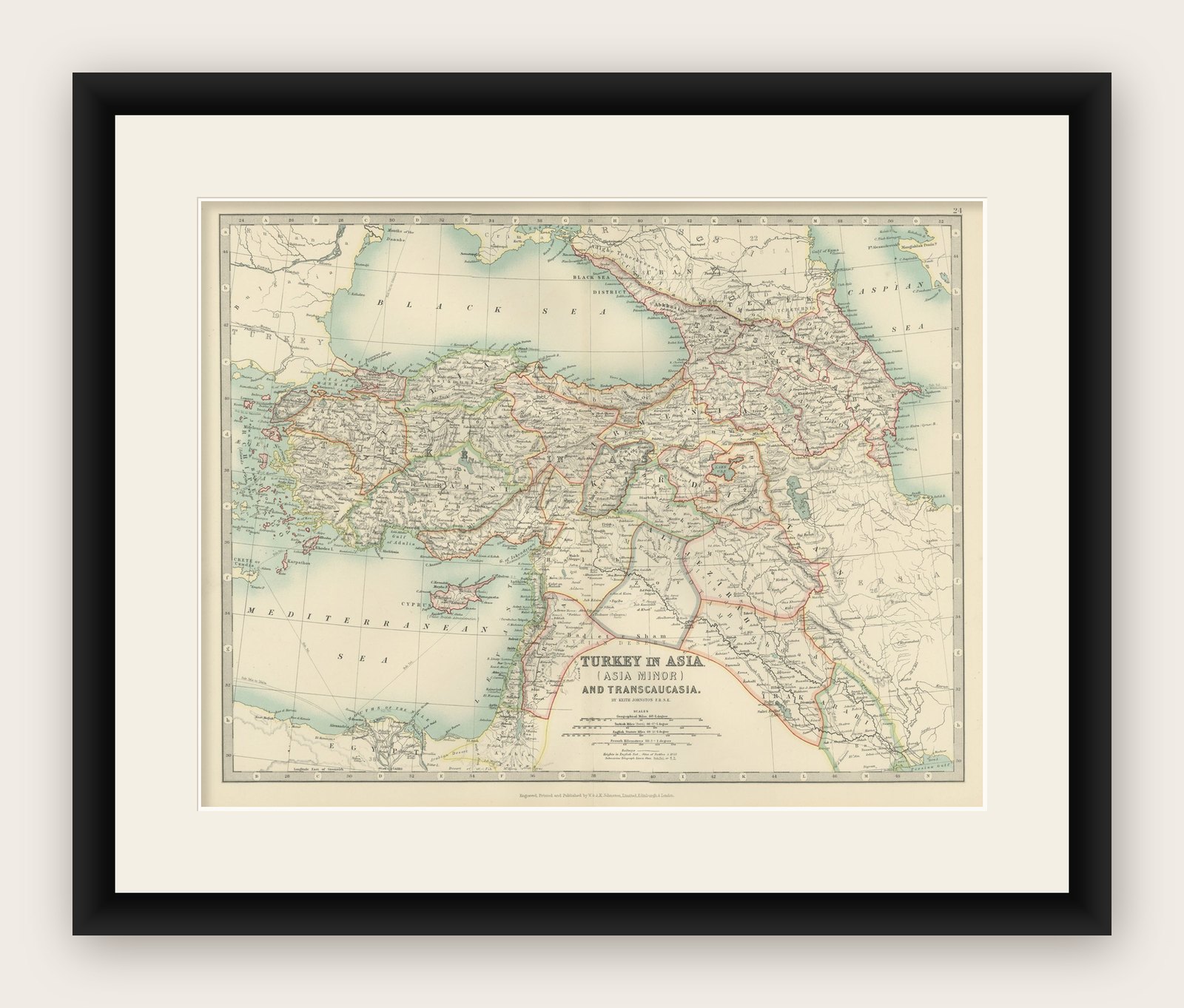
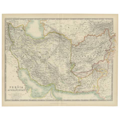
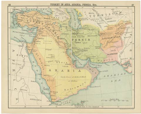
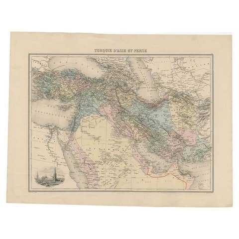
Antique Map of Turkey in Asia (Asia Minor and Transcaucasia), 1903
€ 290
Original antique · The actual sheet photographed · Certificate of authenticity on request · Sold unframed · Worldwide shipping from € 15 (rates)
Date
1903
Sheet size
36.8 × 47 cm (14.5 × 18.5 in)
Condition
Good
Reference
BG-13577-24
What the condition grades mean
Excellent
Bright and clean, with no faults worth mentioning.
Very good
Only light signs of age, such as faint toning.
Good
Normal signs of age for a sheet of this period: toning, some foxing, small marks or neat old repairs.
Fair
Clear faults such as staining, tears or repairs, priced to match.
Every fault we see is written in the condition note, and the whole sheet is shown uncropped in the photos.
Condition
This map is in very good antique condition, with slight foxing and gentle edge toning typical for its age. The colors remain vibrant and the paper is stable and well-preserved. Folding line as issued.
About this sheet
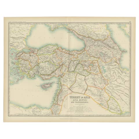
Antique Map of Turkey in Asia (Asia Minor and Transcaucasia), 1903, with Intricate Provincial Borders
This antique map, titled "Turkey in Asia (Asia Minor) and Transcaucasia," was engraved and published in 1903 by the distinguished W. & A.K. Johnston in Edinburgh and London. It offers a beautifully detailed depiction of the western regions of Asia, encompassing modern-day Turkey, the Caucasus, and parts of the Middle East, all delicately shaded in pastel colors to highlight political boundaries.
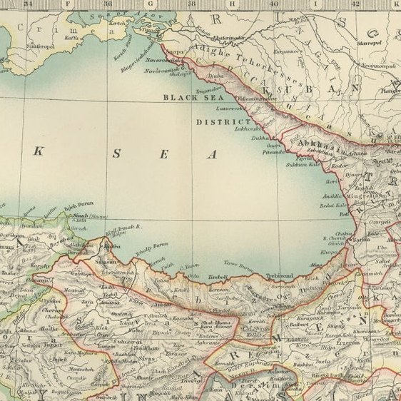
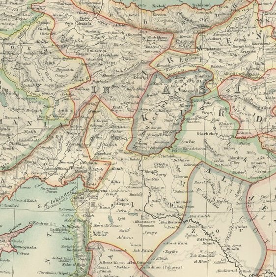
The map features major cities, rivers, mountain ranges, and key trade routes, offering a fascinating look at the region during a time of dynamic political and cultural change. It covers a vast area, from the shores of the Mediterranean and Black Seas to the Caspian Sea and the rugged mountains of the Caucasus, reflecting the complex geography and cultural diversity that have always defined this region.
Notable features include the ancient regions of Anatolia, Armenia, Georgia, and Mesopotamia, areas steeped in history and crucial to the cultural and economic exchanges of empires past. The inset detailing the Mediterranean and surrounding seas further emphasizes the maritime connections that linked these lands to Europe and beyond.
For collectors, historians, and those with a passion for Middle Eastern and Caucasian history, this map is more than a visual artifact—it is a window into a world of ancient civilizations and modern ambitions, captured with the precision and artistry of Johnston’s cartographers.
Condition report: This map is in very good antique condition, with slight foxing and gentle edge toning typical for its age. The colors remain vibrant and the paper is stable and well-preserved. Folding line as issued.
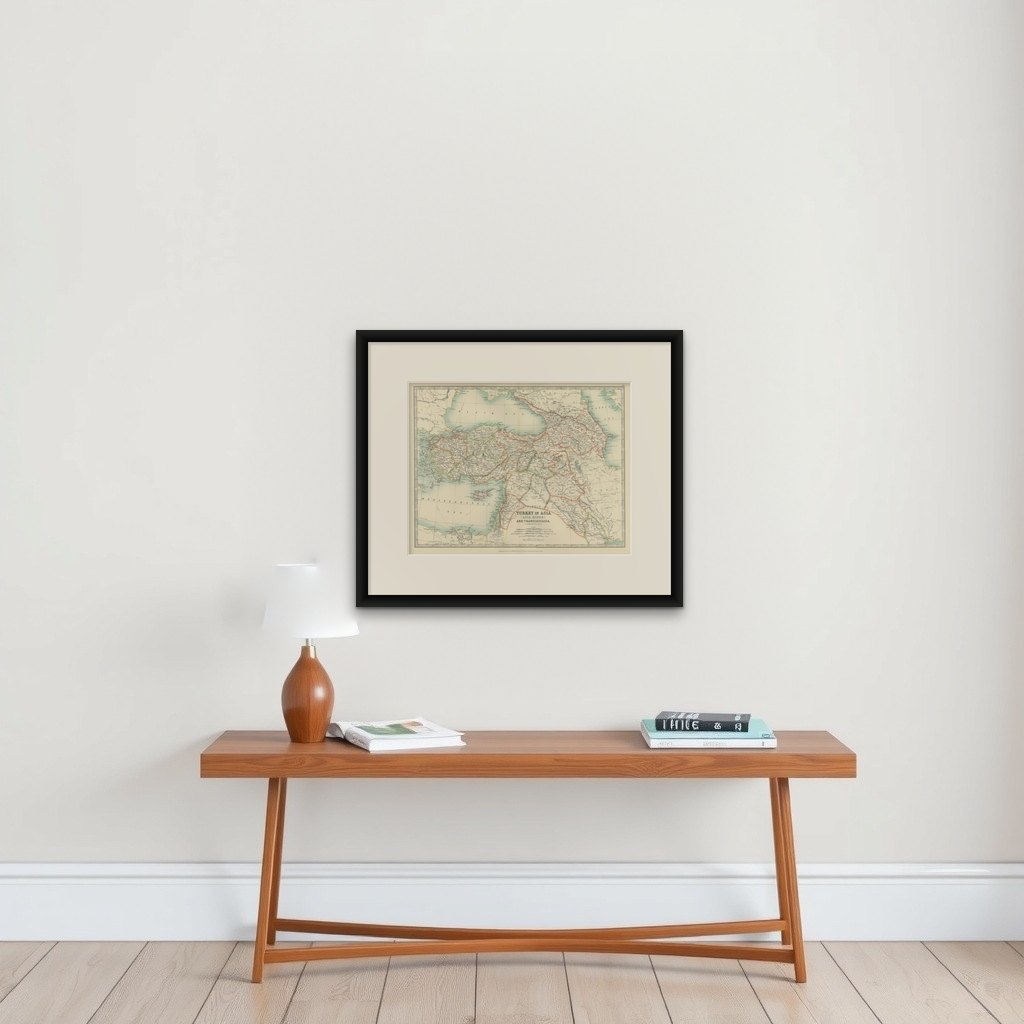
Framing tips: A classic dark wood frame in walnut or mahogany will complement the warm pastel tones and intricate detailing of this map. Use a cream or off-white matting to highlight the delicate linework and refined coloring, creating a sophisticated and timeless focal point in any setting.