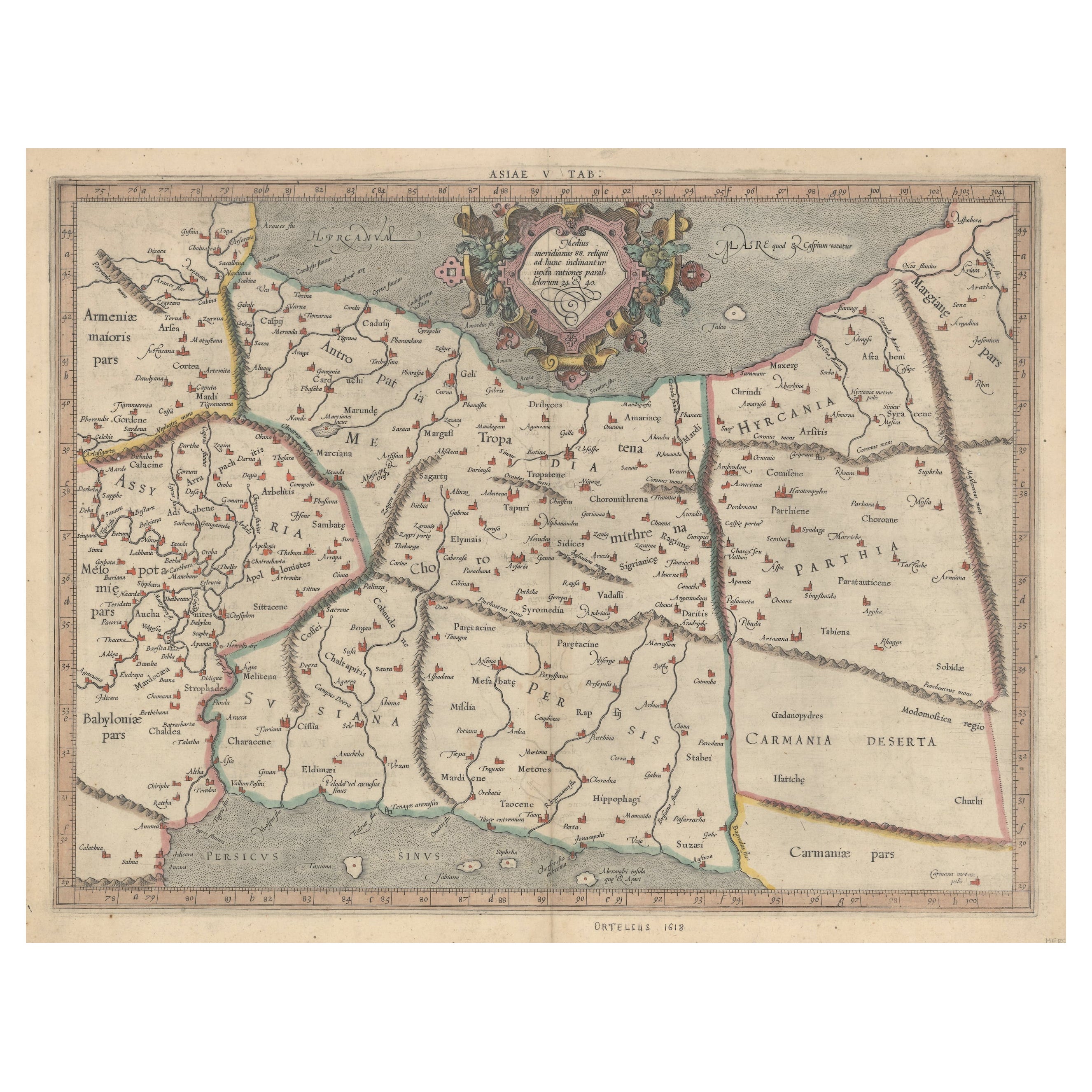
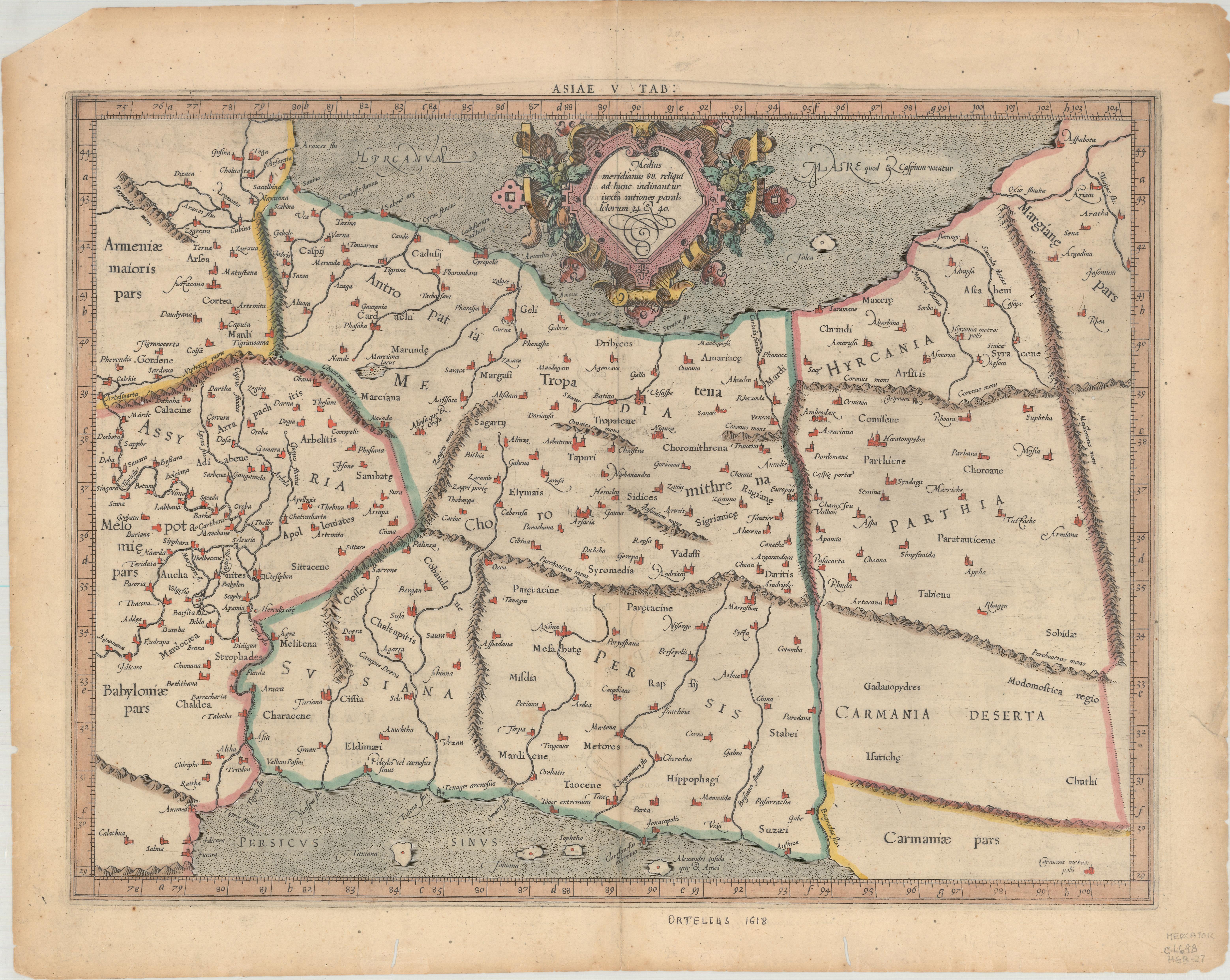
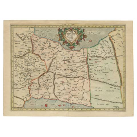
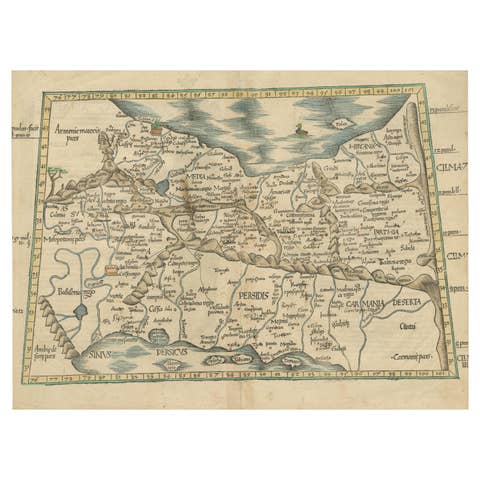
Exploring Ancient Persia: Ptolemaic Map of Iran and Iraq by Ptolemy and Mercator
€ 490
One of a kind: this is the sheet in the photographs. Ships from Langweer, the Netherlands.
Sheet size
34.8 × 46.7 cm (13.7 × 18.4 in)
Condition
Good
Reference
BG-13549
Condition
Repaired: An archivally repaired centerfold separation at bottom. There is light offsetting and a few small worm holes in the image. There are two worm tracks in the bottom margin and some tiny tears and chips along the edges of the sheet. A previous owner has written "Ortelius 1618" in ink in t
About this sheet
Claudius Ptolemy was a mathematician, astronomer and geographer who worked in Alexandria, then a part of the Roman Empire, in the 2nd century AD. One of the most learned and influential men of his time, his theories dominated both astronomy and geography for nearly 1500 years. His writings were kept alive by Arabic scholars during the Middle Ages and reemerged in Europe during the Renaissance. The birth of printing led to wide dissemination of his great works on astronomy and geography. There were a number of editions of his Geographia beginning in 1477. These early editions contained maps based on his original writings, known as Ptolemaic maps. As geographic knowledge increased with the explorations of Columbus, Magellan, Cabot and others, maps of the New World were added, and maps of the Old World were revised. Ptolemy's Geographia continued to be revised and published by some of the most important cartographers including Martin Waldseemuller, Sebastian Munster, Giacomo Gastaldi, Jodocus Hondius, and Gerard Mercator (whose last edition was published in 1730).
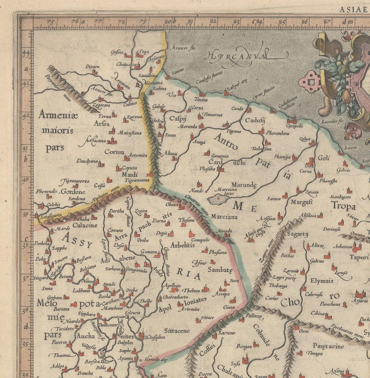
"Asiae V Tab:", Ptolemy/Mercator Subject: Persia - Iran Period: 1618 (published) Publication: Theatrum Geographiae Veteris Color: Hand Color
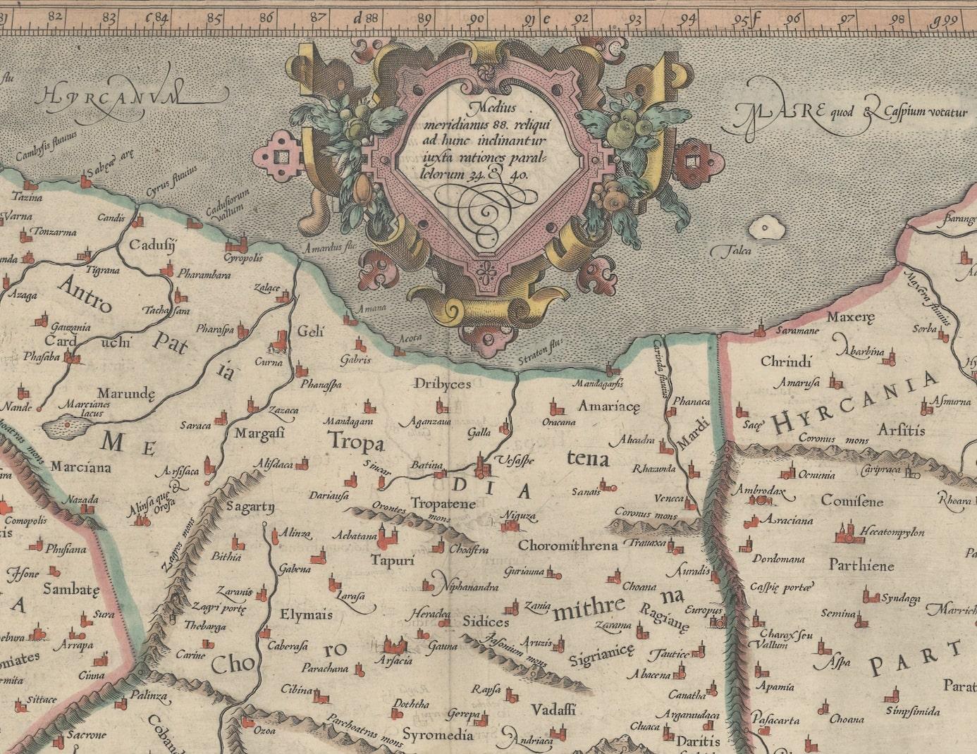
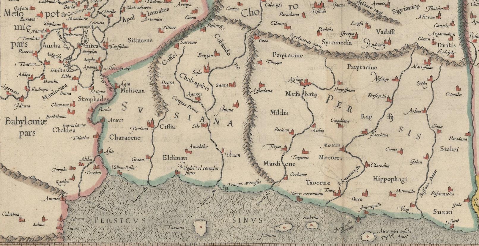
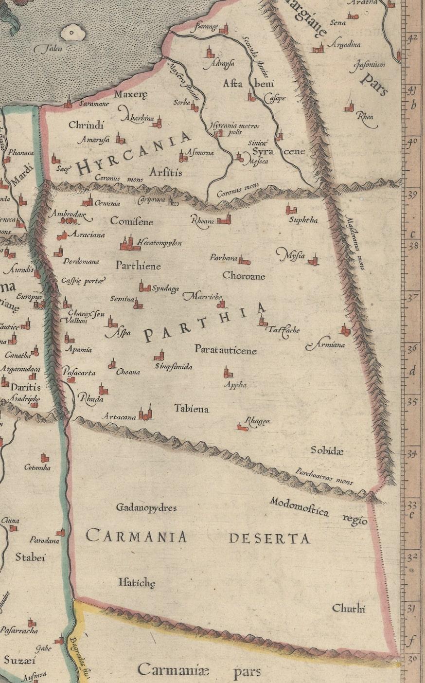
Fine Ptolemaic map depicting much of modern-day Iran, Iraq and part of Armenia. The map stretches from the Persian Gulf to the Caspian Sea and features Babylon (Baghdad), the Tigris and Euphrates Rivers. This is the first state of this map, with the original cartouche, which was re-engraved in 1695. Latin text on verso with an alternate title: Asiae Tabula Quinta.
Mercator originally published this map in his 1578 edition of Ptolemy's great Geography. Although he is most renowned today for the projection he popularized and for first using the term Atlas for a collection of maps, he devoted much of his life to his Ptolemaic maps. The maps were beautifully engraved as nearly as possible to their original form and embellished with fine cartouches.