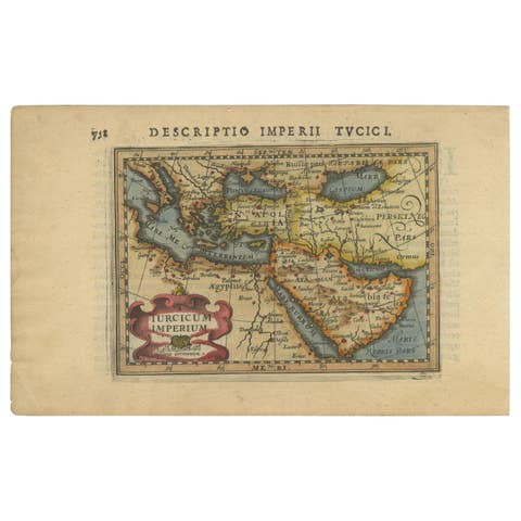
Old Ptolemaic Map of the Region Between the Persian Gulf and Caspian Sea, 1598
€ 400
Original antique · The actual sheet photographed · Certificate of authenticity on request · Sold unframed · Worldwide shipping from € 15 (rates)
Date
1598
Sheet size
18 × 24.9 cm (7.1 × 9.8 in)
Condition
Good
Reference
BG-13548
What the condition grades mean
Excellent
Bright and clean, with no faults worth mentioning.
Very good
Only light signs of age, such as faint toning.
Good
Normal signs of age for a sheet of this period: toning, some foxing, small marks or neat old repairs.
Fair
Clear faults such as staining, tears or repairs, priced to match.
Every fault we see is written in the condition note, and the whole sheet is shown uncropped in the photos.
Condition
A dark impression with some printer's ink residue, a hint of toning along the centerfold, and several infilled wormholes also along the centerfold with a tiny amount of image replaced in facsimile. Few worm holes at right bottom.
About this sheet
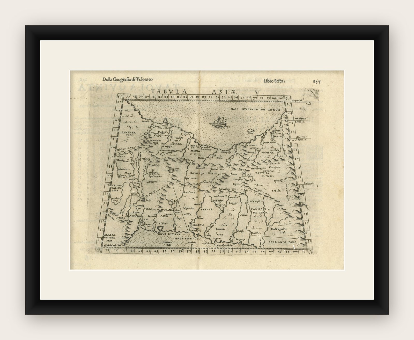
"Tabula Asiae V", Ptolemy/Ruscelli
Subject: Persia - Iran Period: 1598 (published) Publication: Geografia di Claudio Tolomeo Allessadrino…
Claudius Ptolemy was a mathematician, astronomer and geographer who worked in Alexandria, then a part of the Roman Empire, in the 2nd century AD. One of the most learned and influential men of his time, his theories dominated both astronomy and geography for nearly 1500 years. His writings were kept alive by Arabic scholars during the Middle Ages and reemerged in Europe during the Renaissance. The birth of printing led to wide dissemination of his great works on astronomy and geography. There were a number of editions of his Geographia beginning in 1477. These early editions contained maps based on his original writings, known as Ptolemaic maps. As geographic knowledge increased with the explorations of Columbus, Magellan, Cabot and others, maps of the New World were added, and maps of the Old World were revised. Ptolemy's Geographia continued to be revised and published by some of the most important cartographers including Martin Waldseemuller, Sebastian Munster, Giacomo Gastaldi, Jodocus Hondius, and Gerard Mercator (whose last edition was published in 1730).
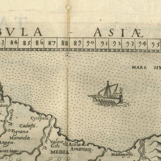
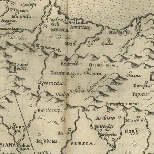
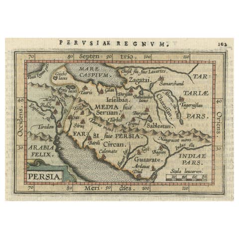
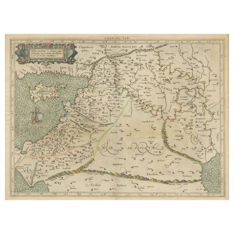
Ptolemaic map of the region between the Persian Gulf and the Caspian Sea showing Babylon and Mesopotamia as well as other ancient empires. Important sites described by Strabo are noted including Arae Herculis, Arae Sabae, Zagri Portae, and Portae Caspie. This fourth edition is further decorated by a sailing ship in the Caspian Sea and pictorial representations of forests. Italian text on verso.