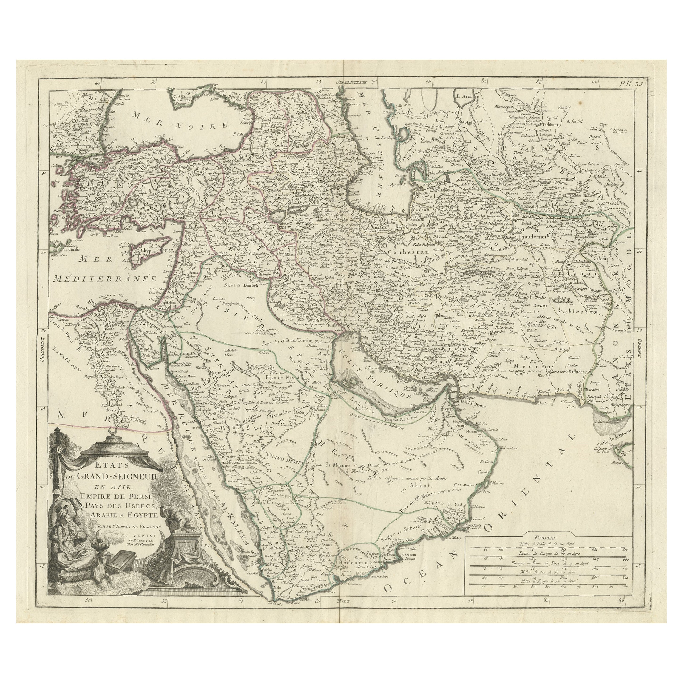
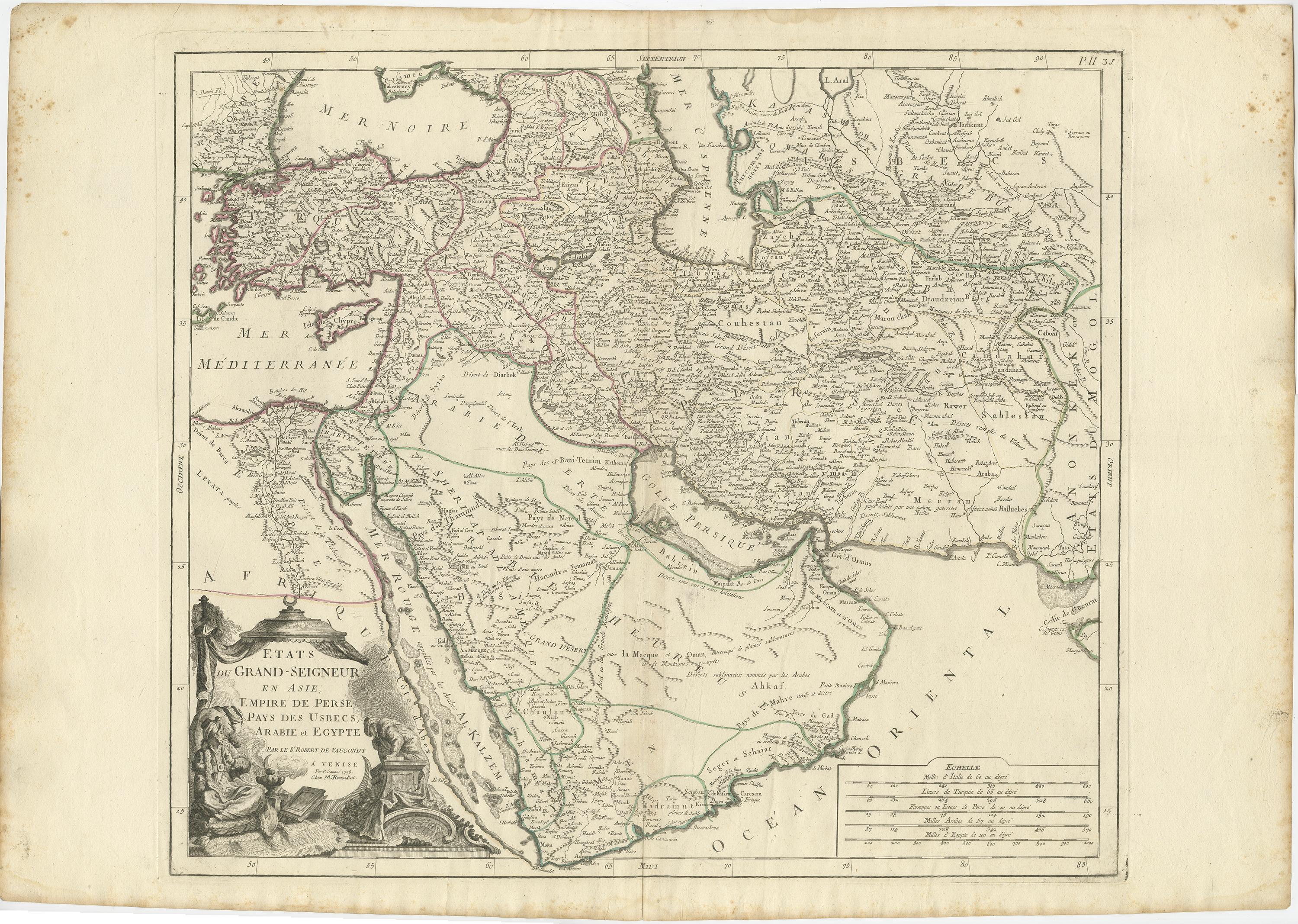
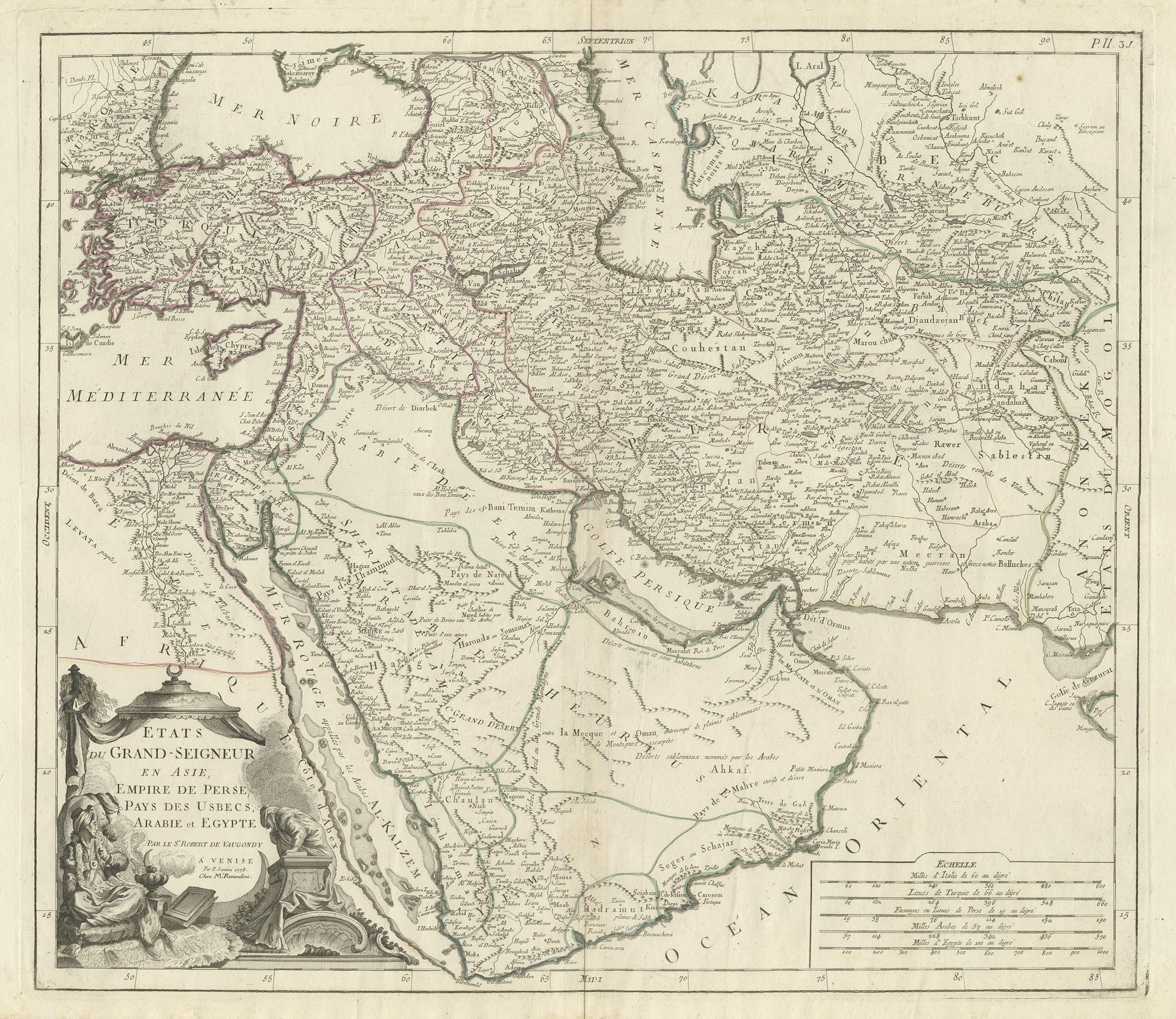
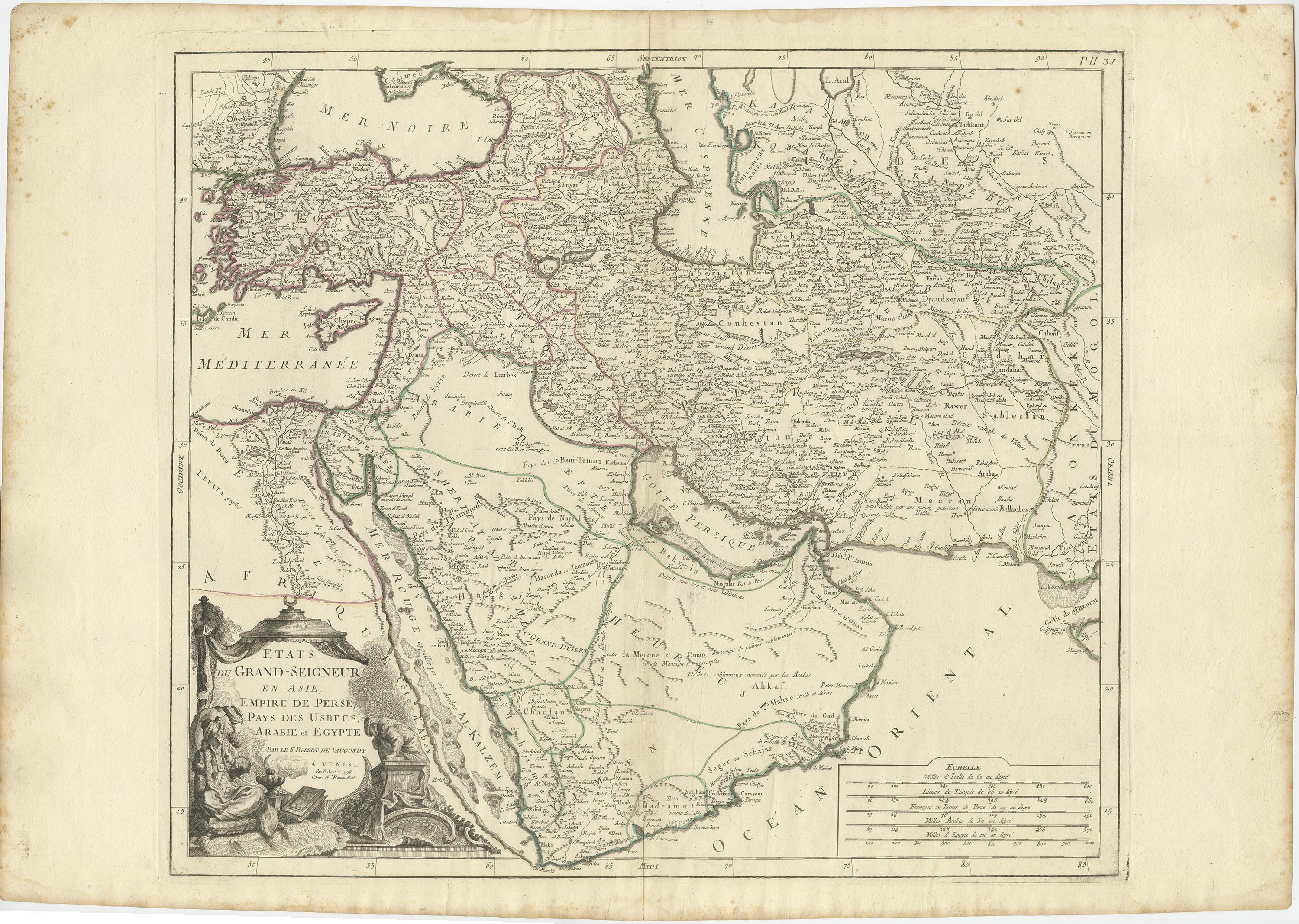
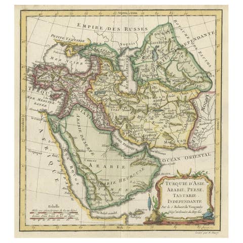
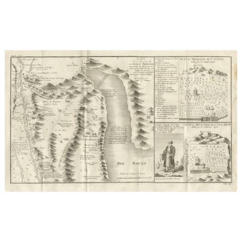
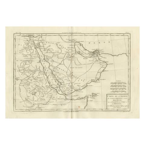
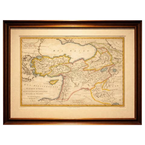
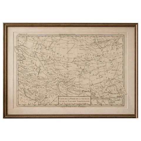
Detailed Original Antique Map of the Turkish Empire with Arabia, 1778
€ 1 020
One of a kind: this is the sheet in the photographs. Ships from Langweer, the Netherlands.
Date
1778
Sheet size
53 × 75 cm (20.9 × 29.5 in)
Condition
Good
Reference
BG-13127
Condition
Wear consistent with age and use. Vertical fold in the middle as issued and a few creases or wrinkles overall. Some browning but mainly in the margins well outside the image. Borders handcolored. Wide margins. Strong paper.
About this sheet
Detailed map of the Turkish Empire, extending to the Black Sea, Georgia, the Caspian, Usbekistan, The Indian Ocean, Saudi Arabia, Egypt and the Red Sea.
Large decorative cartouche.
Didier Robert de Vaugondy (ca. 1723-1786) was the son of prominent geographer Gilles Robert de Vaugondy and Didier carried on his father’s impressive work. Together, they published their best-known work, the Atlas Universel (1757). The atlas took fifteen years to create and was released in a folio and ¾ folio edition; both are rare and highly sought-after today. Together and individually, father and son were known for their exactitude and depth of research.
Like his father, Didier served as geographer to King Louis XV. He was especially recognized for his skills in globe making; for example, a pair of his globes made for the Marquise de Pompadour are today in the collection of the Municipal Museum of Chartres. Didier was also the geographer to the Duke of Lorraine. In 1773, he was appointed royal censor in charge of monitoring the information published in geography texts, navigational tracts, and travel accounts.