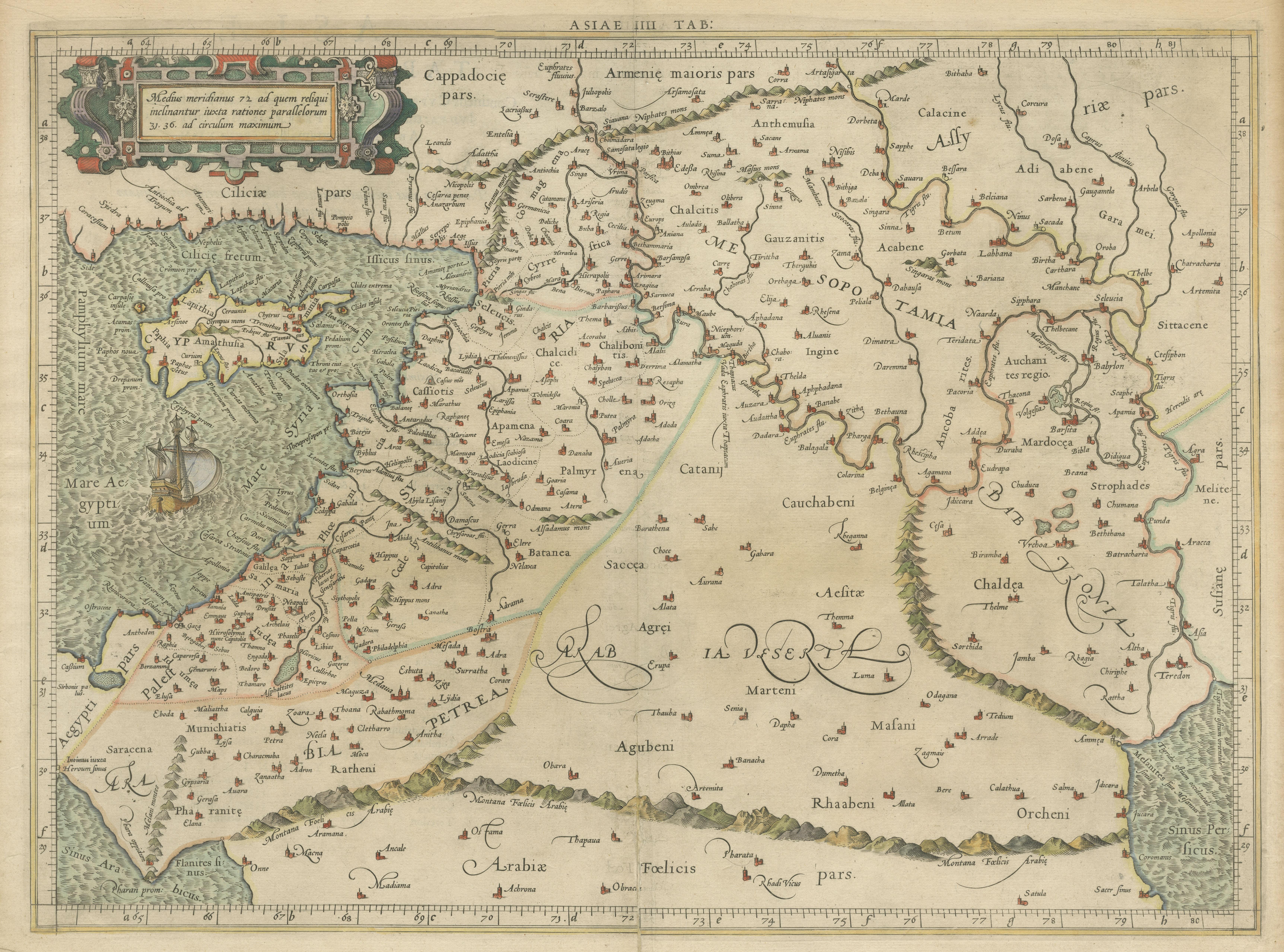


West Asia & the Holy Land · 16th century
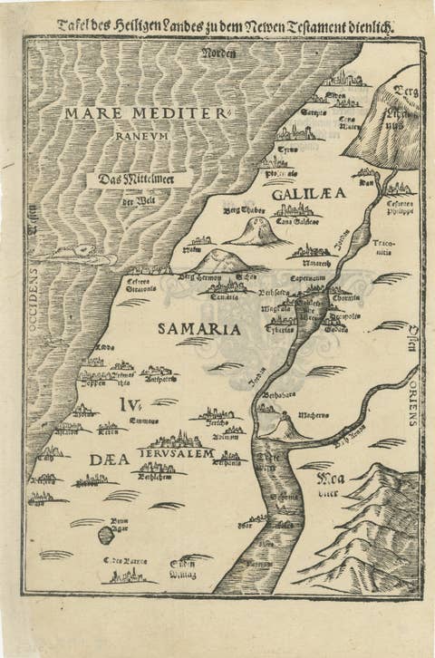
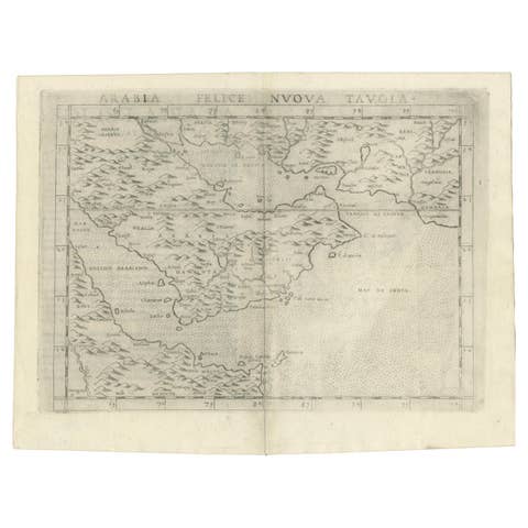
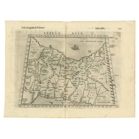
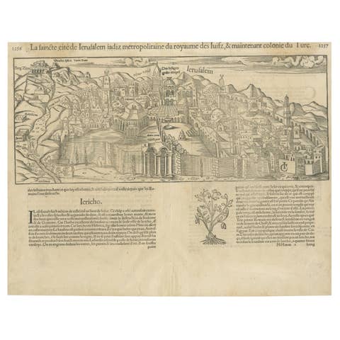
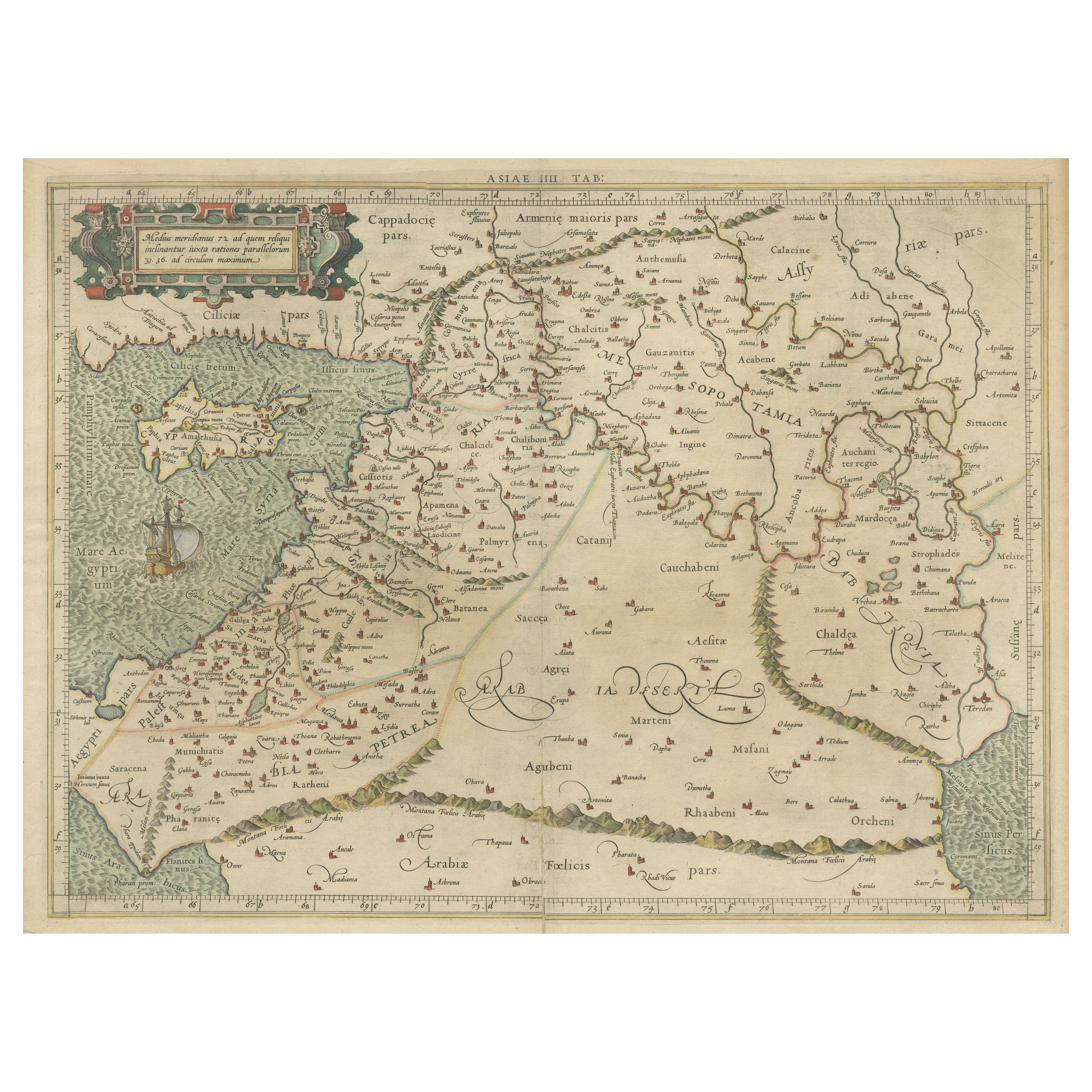

Mercator's Ptolemaic Map of the Holy Land, Cyprus and Syria, circa 1580
€ 690
One of a kind: this is the sheet in the photographs. Ships from Langweer, the Netherlands.
- Date
- 1580
- Sheet size
- 39.7 × 50.2 cm (15.6 × 19.8 in)
- Condition
- Fair
- Reference
- BG-13510
Condition
General age-related toning. Original folding line. Shows a few tiny defects, also affecting image. Latin text on verso. Please study image carefully.