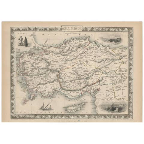
Persia Unveiled: Antique Map of Iran, Afghanistan, and Beyond, 1852
€ 160
One of a kind: this is the sheet in the photographs. Ships from Langweer, the Netherlands.
Date
1852
Sheet size
25.7 × 33.8 cm (10.1 × 13.3 in)
Condition
Fair
Reference
BG-13379-19
Condition
General age-related toning. Shows soiling and foxing, blank verso. Please study image carefully.
About this sheet
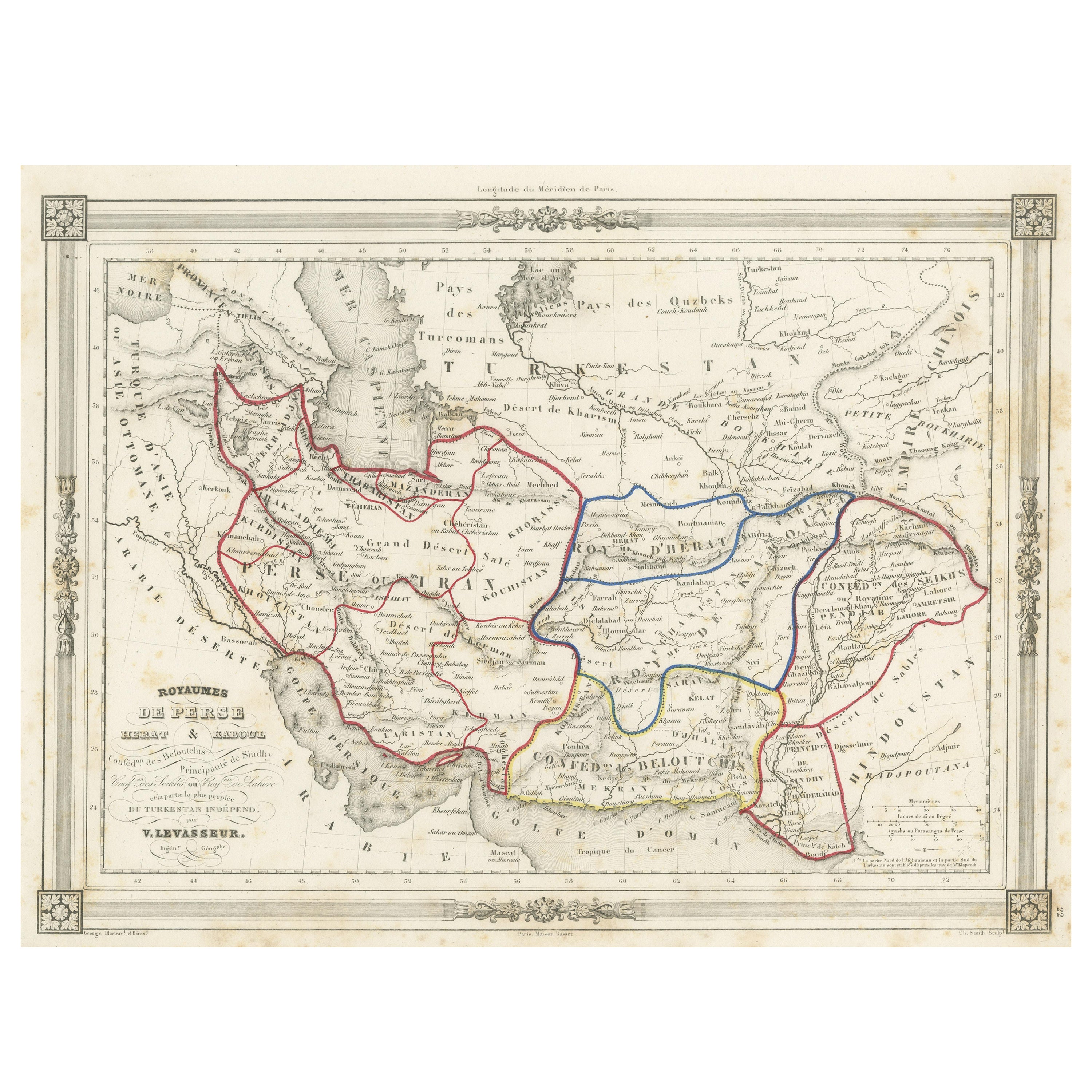
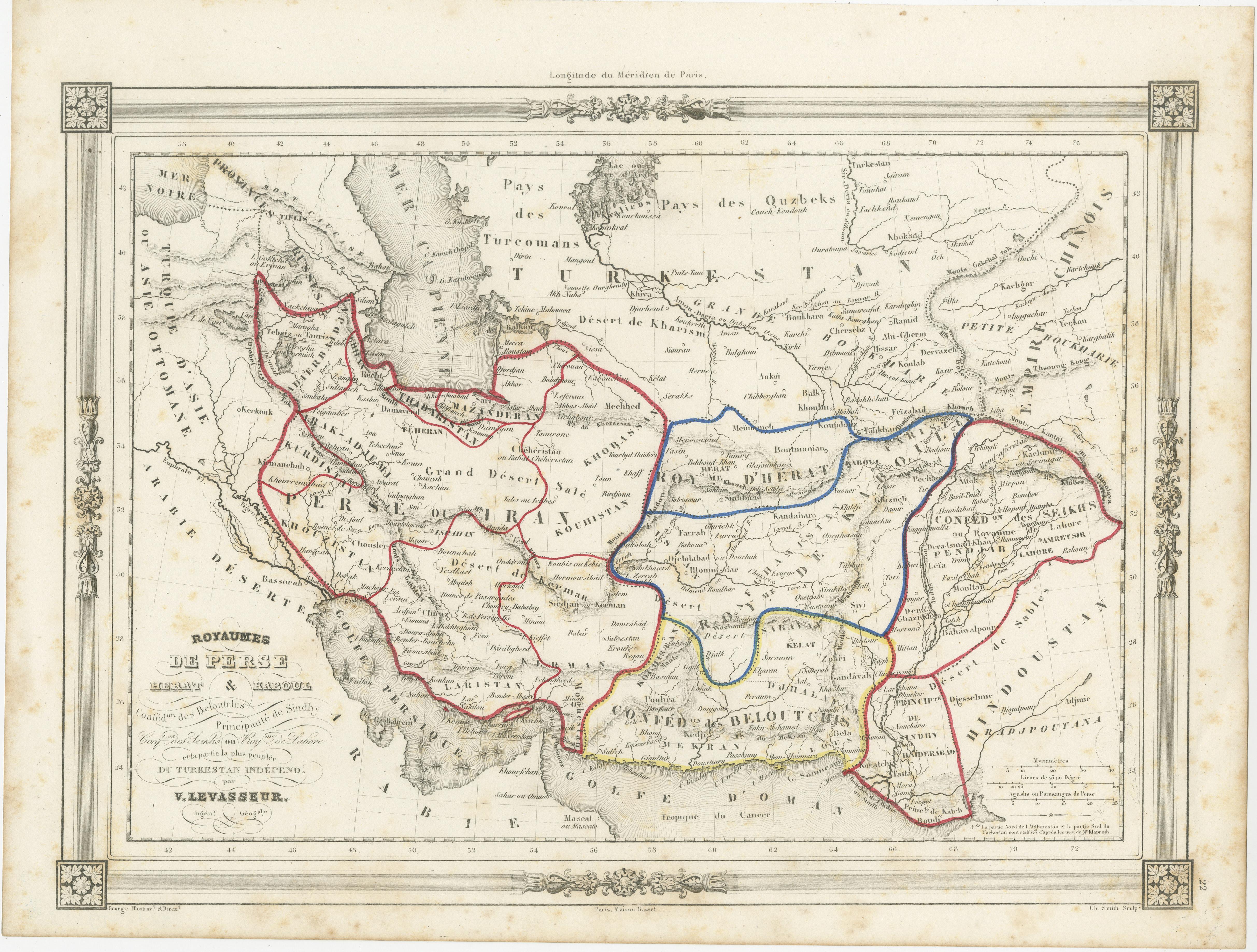
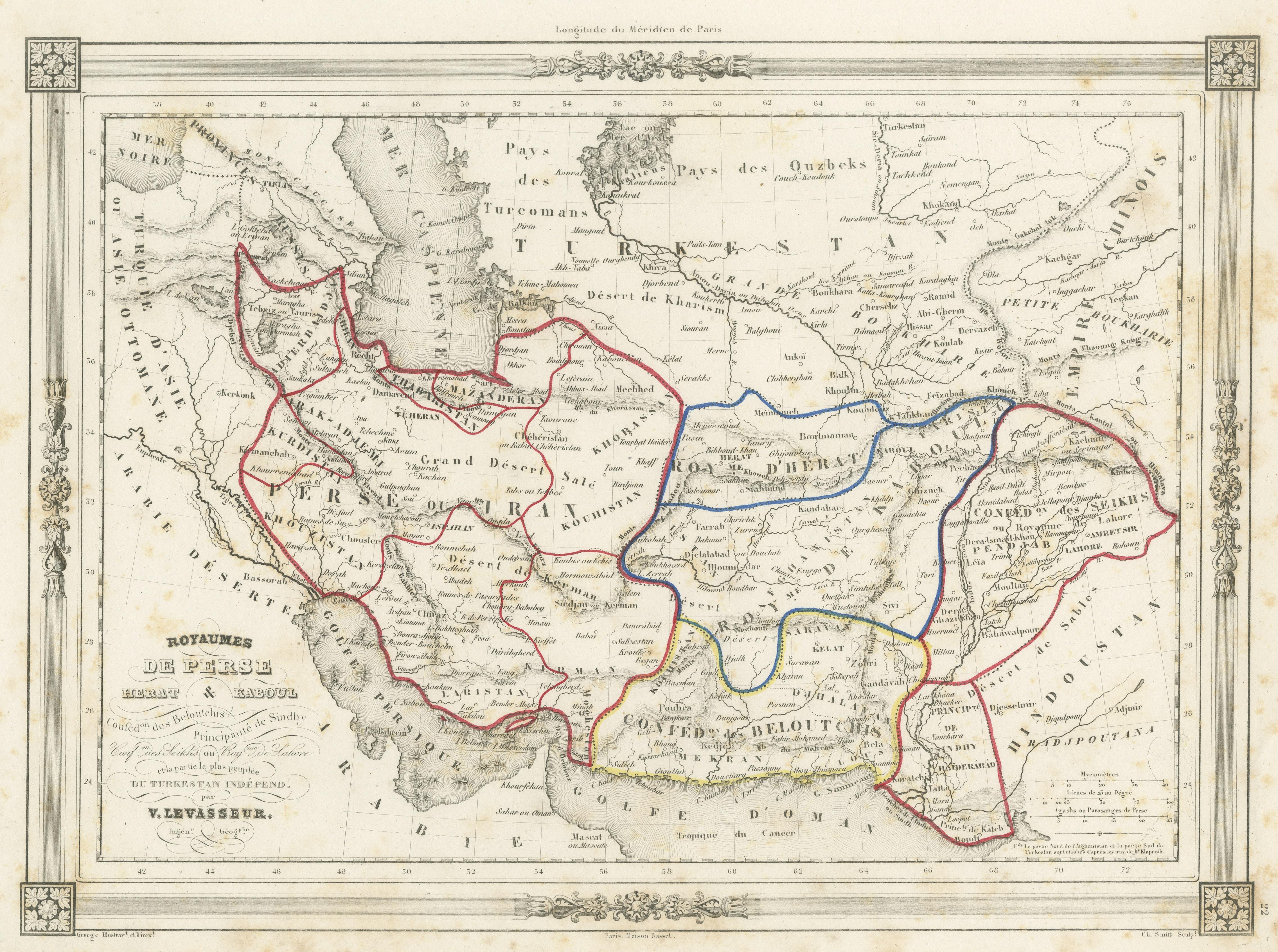
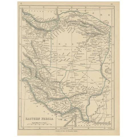
The antique map titled 'Royaumes de Perse Herat & Kaboul' is an attractive map of Persia. Here are the key details and features of the map:
1. **Geographic Coverage**: - The map covers a significant portion of the region, including modern-day Iran and Afghanistan. - It extends from the Caspian Sea in the north to the Persian Gulf in the south. - The map also includes parts of adjacent countries, such as Pakistan, India, and Iraq.
2. **Cartographic Details**: - The map provides detailed cartographic information, including the depiction of geographical features, rivers, mountains, and place names. - It offers a comprehensive view of the topography of the covered regions.
3. **Origin**: - This map originates from Maison Basset's 1852 edition of 'Atlas Illustre Destine a l'enseignement de la Geographie elementaire.' This suggests that it was intended for educational purposes and likely used in geography education during the mid-19th century.
4. **Educational Use**: - The map's inclusion in an atlas for geography education indicates its role in helping students learn about the geography of the covered regions. - It may have been used as a teaching tool to enhance students' understanding of Persia, Herat, Kaboul, and the surrounding areas.
5. **Aesthetic Appeal**: - The map is described as attractive, suggesting that it was not only informative but also visually appealing. - Maps from this era often featured intricate and decorative elements that added to their aesthetic value.
6. **Historical Insight**: - The map provides historical insights into the territorial boundaries and geographic knowledge of the regions it covers during the mid-19th century.
7. **Geopolitical Significance**: - Persia, Herat, and Kaboul (Kabul) have historical and geopolitical significance, and this map offers a view of their positions and relationships within the broader region.
Overall, the 'Royaumes de Perse Herat & Kaboul' antique map serves as both an educational tool and a historical document, offering a glimpse into the geography of Persia and its neighboring regions in the mid-19th century.