About this sheet
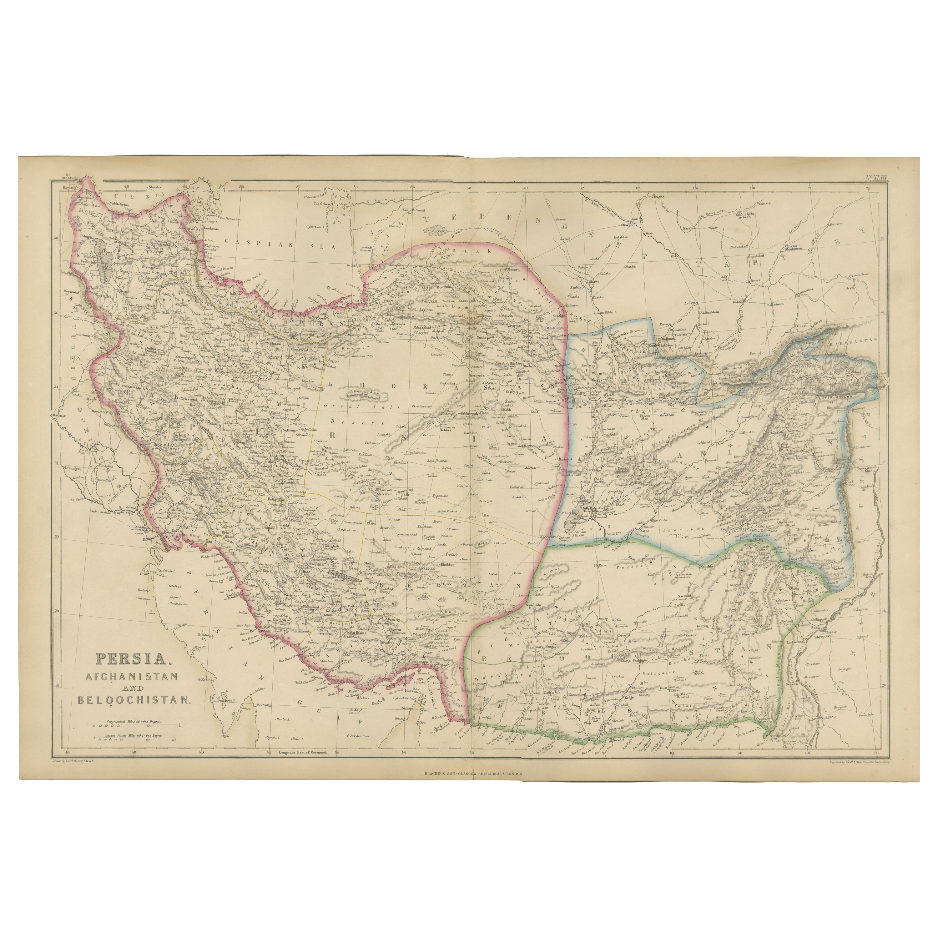
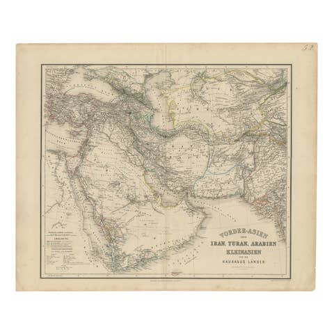
Persia, Afghanistan and Beloochistan, Antique Map of Iran Region, Blackie 1860
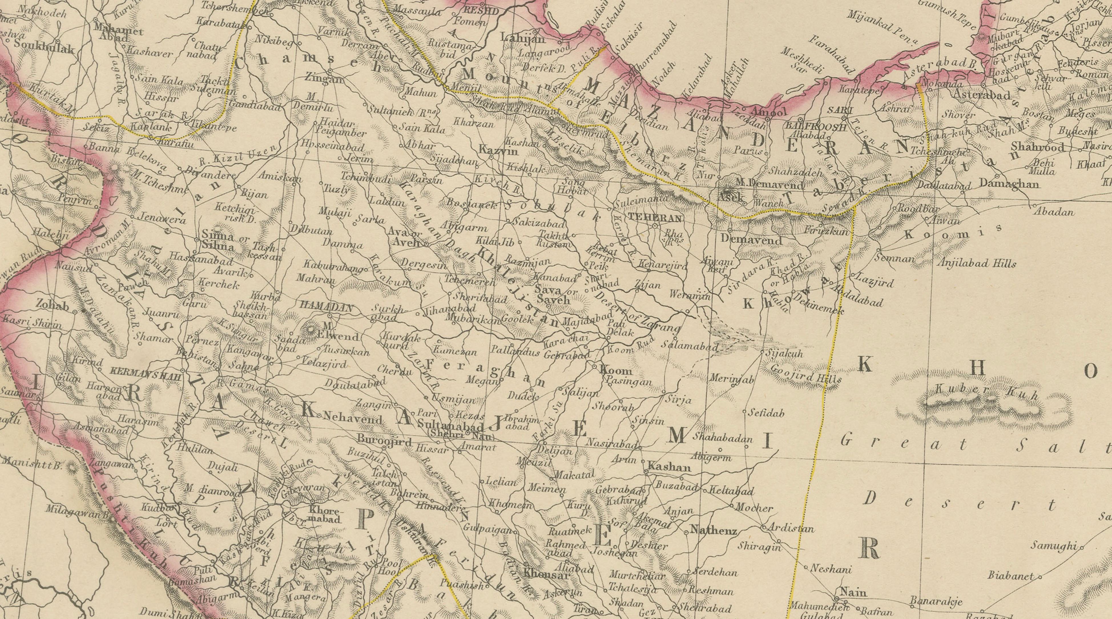
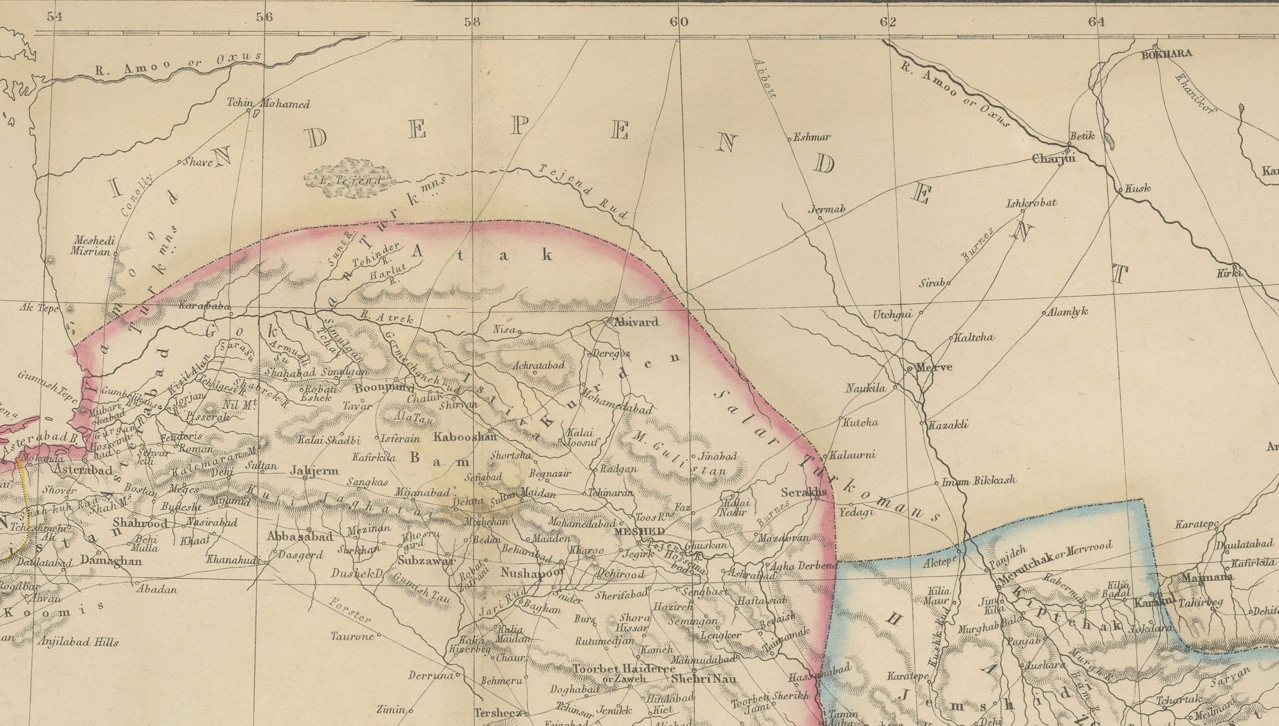
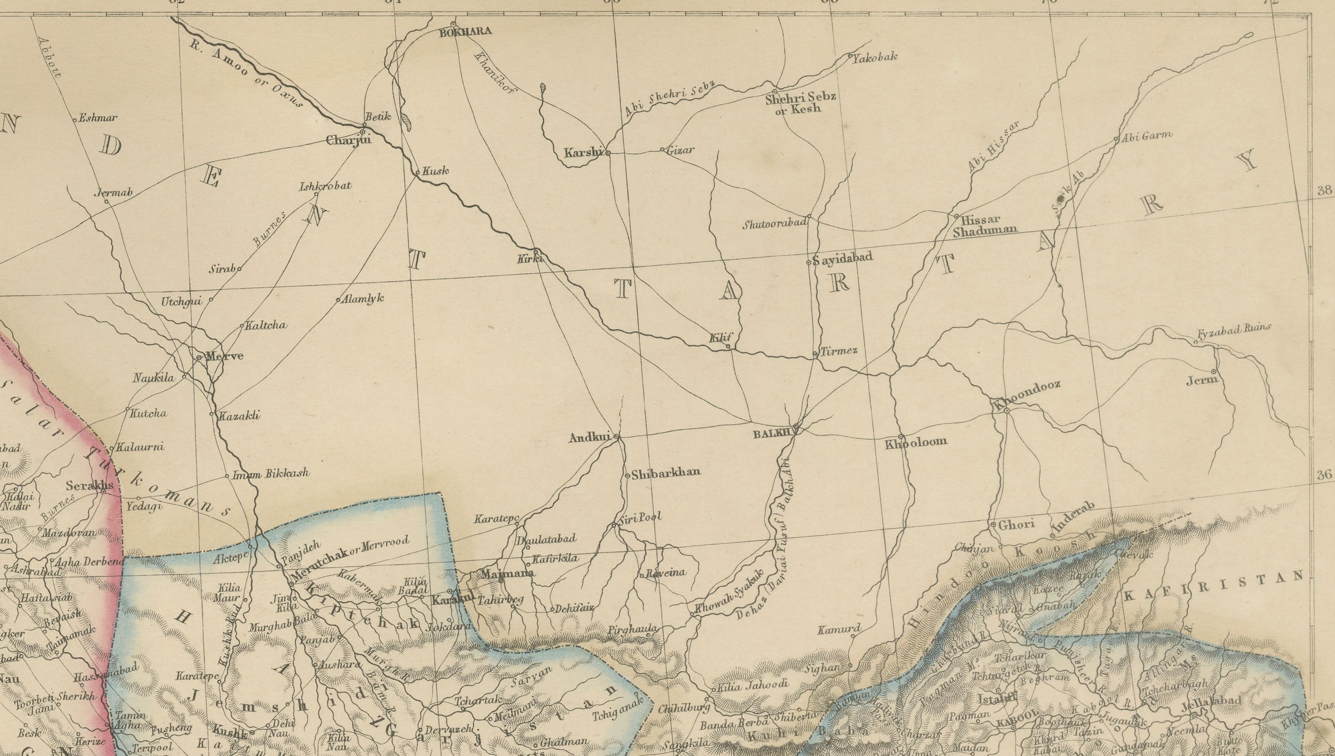
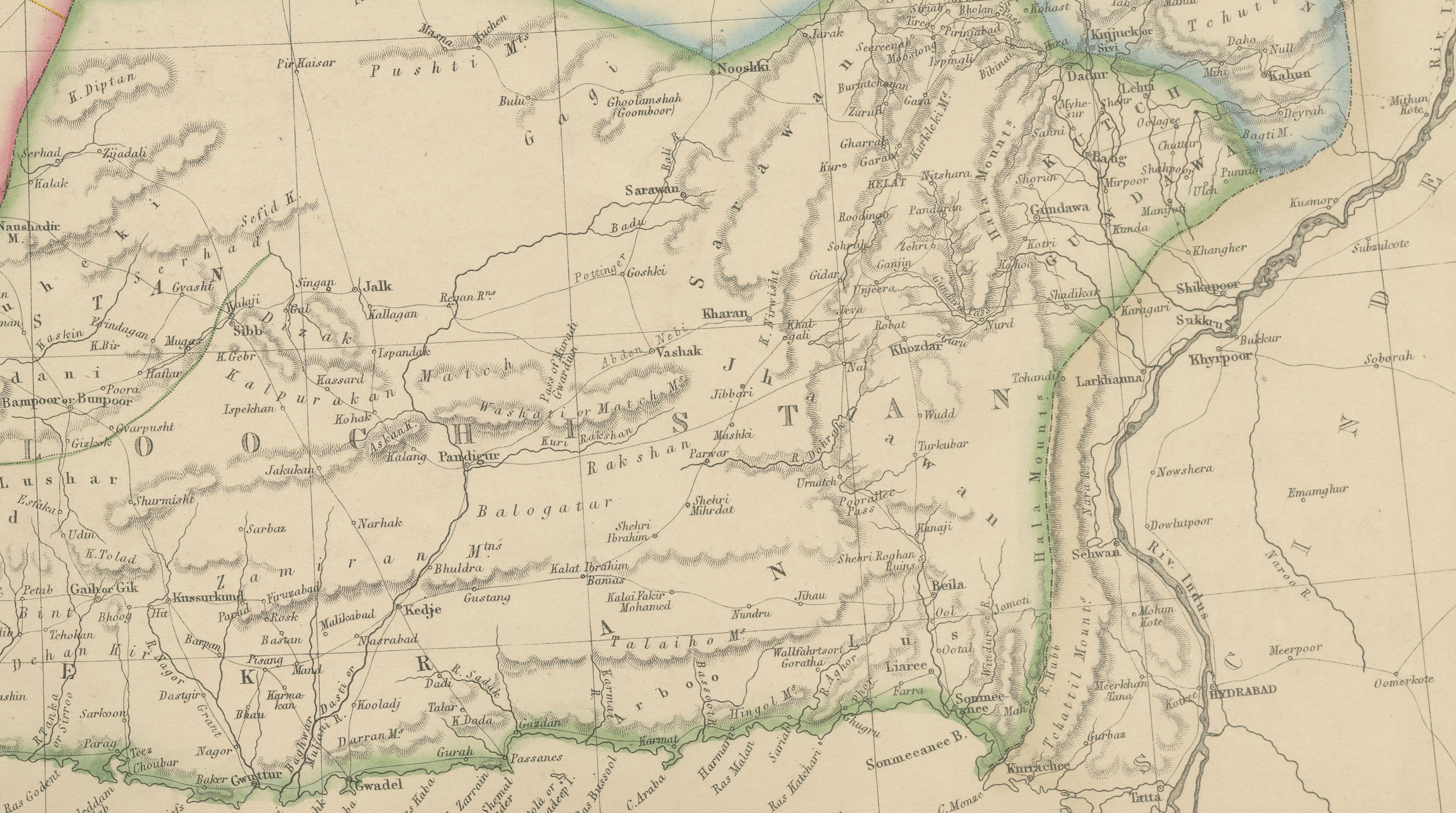
This original antique map titled Persia, Afghanistan and Beloochistan presents a detailed mid-19th-century cartographic view of a strategically important region at the crossroads of the Middle East, Central Asia, and South Asia. The map originates from The Imperial Atlas of Modern Geography and was published in 1860 by W. G. Blackie, one of the most respected British atlas publishers of the Victorian era.
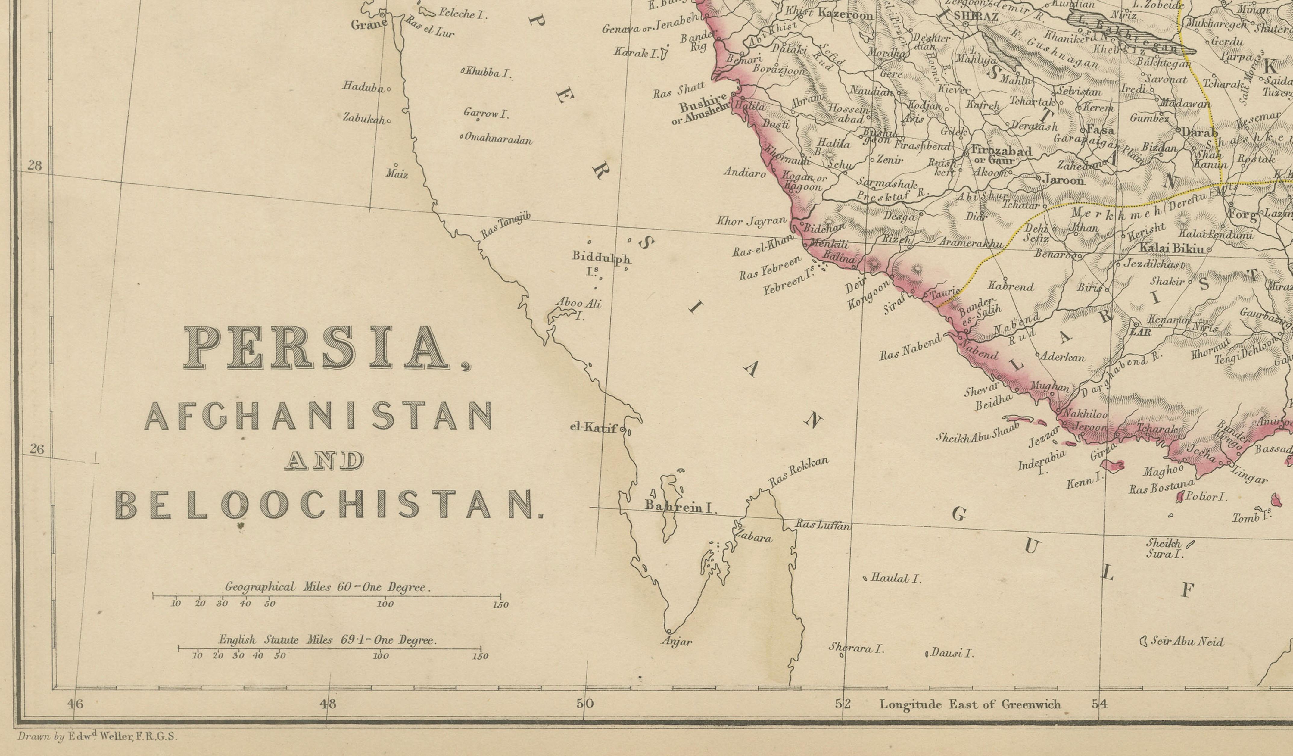
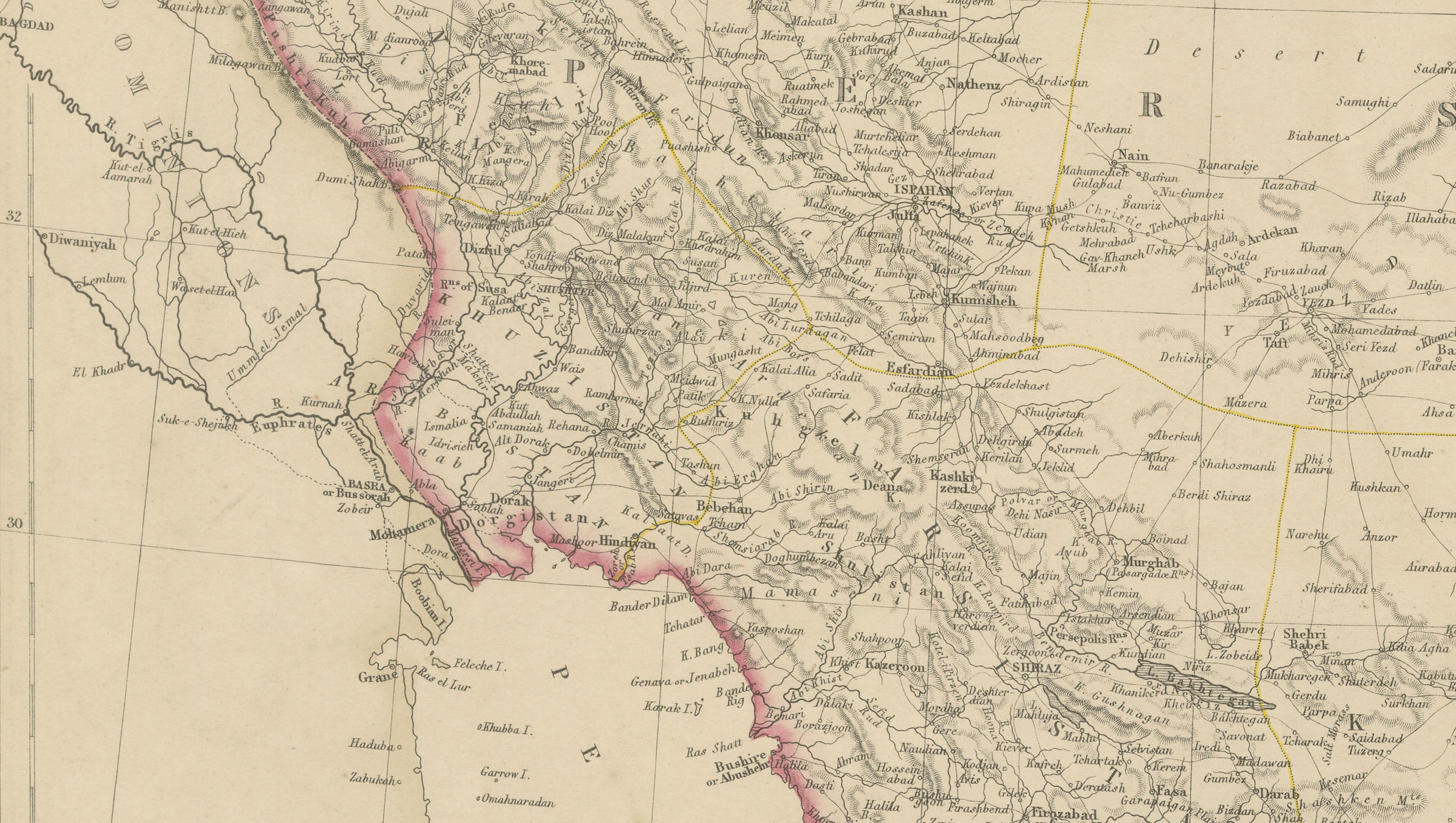
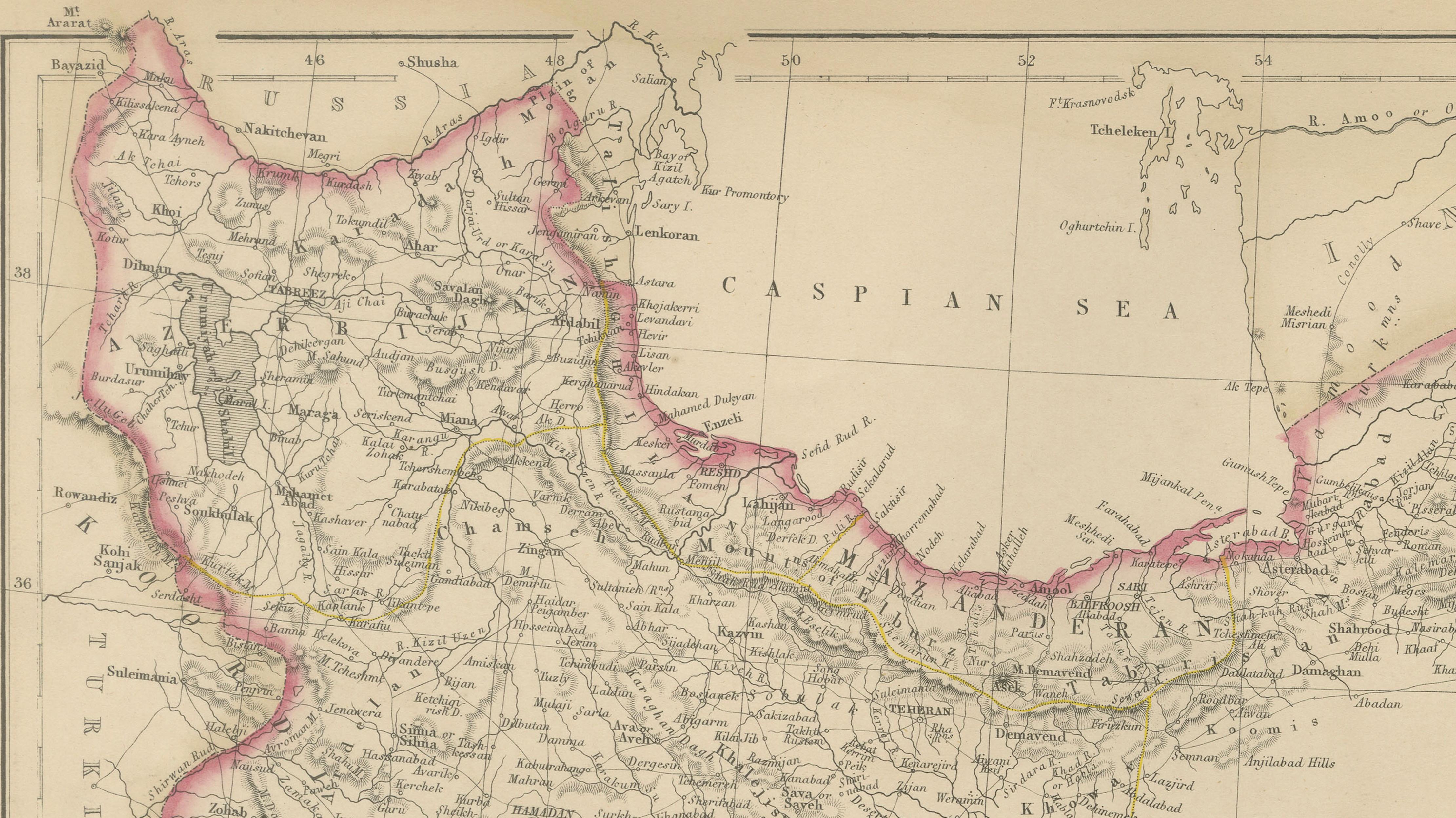
The map covers Persia (modern-day Iran), Afghanistan, and Beloochistan (Balochistan), extending from the Caspian Sea in the north to the Persian Gulf and Arabian Sea in the south, and eastward toward the Indus frontier. Political and regional boundaries are clearly distinguished with original hand coloring, reflecting contemporary divisions between Persian territories, Afghan regions, and adjacent lands influenced by British India.
Mountain systems such as the Zagros, Elburz, and Hindu Kush are rendered with pronounced relief, emphasizing the rugged terrain that shaped trade, warfare, and political control. Major river systems, deserts, caravan routes, and key settlements are meticulously engraved, offering insight into 19th-century European geographic knowledge of the region. Coastal outlines along the Caspian Sea and Persian Gulf are carefully delineated, highlighting important ports and maritime connections.
This map reflects the geopolitical importance of the region during the era of the “Great Game,” when British and Russian imperial interests converged in Central Asia. Its refined engraving, subtle original coloring, and large horizontal format give it both strong historical significance and decorative appeal. It is equally suited to collectors of Middle Eastern and Central Asian cartography and to interior designers seeking a historically grounded wall map with intellectual presence.
Condition report:
Good antique condition. Light overall age toning consistent with age. Minor scattered foxing and light handling marks, mainly visible in the margins. Original central fold as issued. No major tears or losses.
Framing tips:
A wide ivory or warm cream mat will enhance the clarity of the engraving and original hand coloring. A dark walnut, black, or understated antique gilt frame complements the map’s scholarly and exploratory character. Museum or UV-protective glass is recommended.
Technique: Copper engraving with original hand coloring
Maker: W. G. Blackie, Scotland, 1860
Keywords:
Persia map, Iran map, Afghanistan map, Beloochistan map, Balochistan, antique Persia map, Middle East map, Central Asia map, South Asia frontier, Caspian Sea, Persian Gulf, Arabian Sea, Strait of Hormuz, Zagros Mountains, Elburz Mountains, Hindu Kush, Iranian Plateau, Afghan highlands, deserts of Persia, Dasht-e Kavir, Dasht-e Lut, caravan routes, Silk Road routes, Teheran Tehran, Isfahan, Shiraz, Mashhad, Kabul, Kandahar, Herat, Quetta, Baluch tribes, Afghan regions, Persian provinces, Great Game era, British Empire Asia, Russian Empire borders, Ottoman frontier, British India frontier, colonial cartography, imperial rivalry, 19th century map, Victorian atlas, Blackie atlas, Imperial Atlas, copper engraved map, hand colored map, historical geography, exploration era, trade routes Asia, frontier mapping, geopolitical maps, antique wall map, interior design art, collector map, educational atlas, 1860 map