About this sheet
Antique Map of Turkey in Asia, Middle East and Persia, Bonne, c.1780
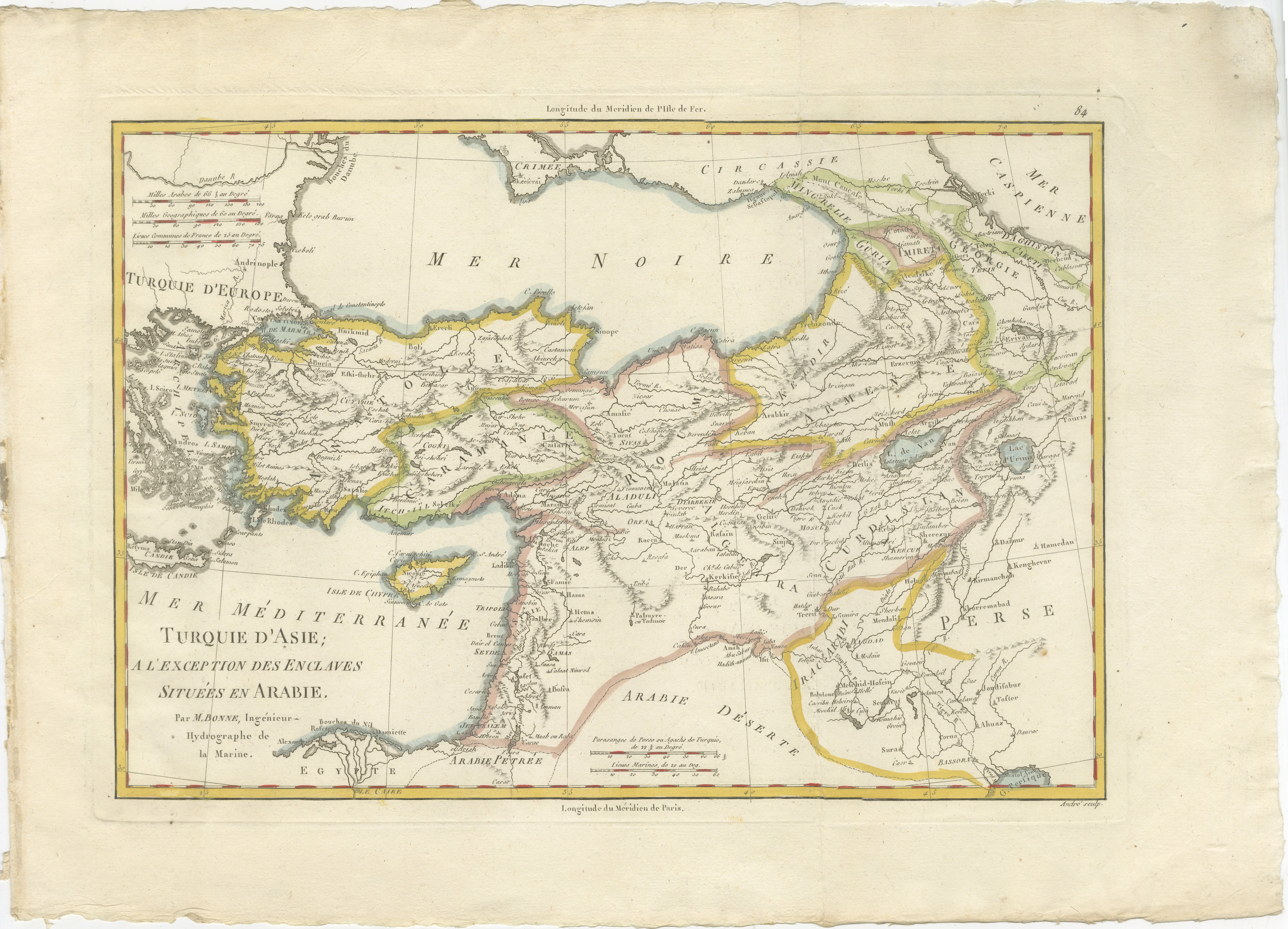
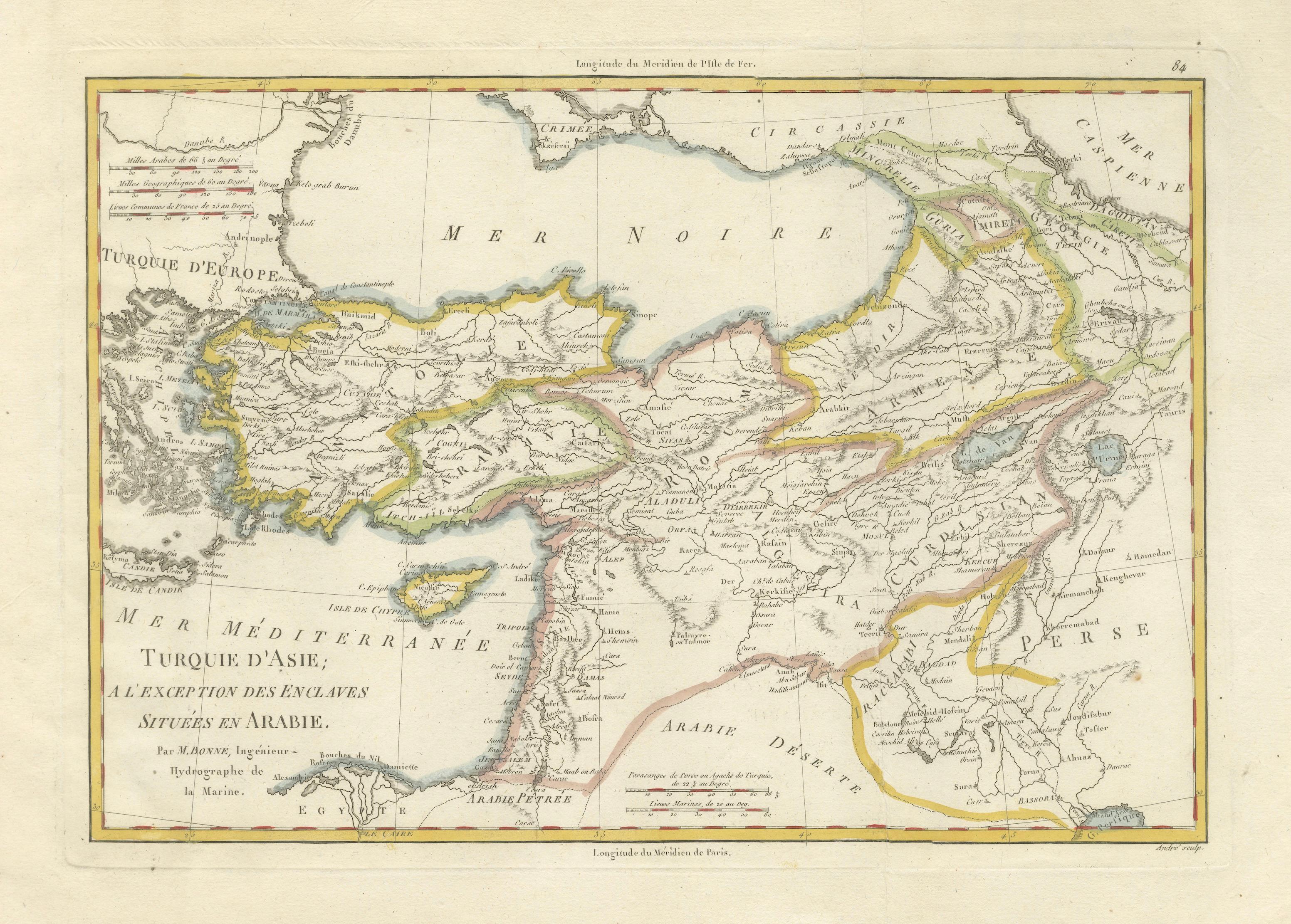
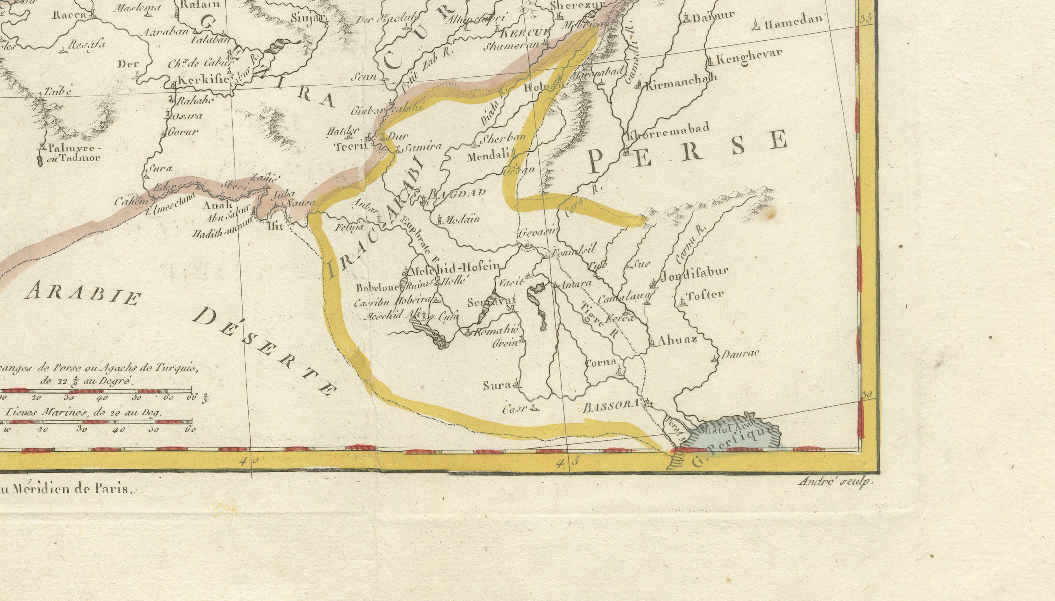
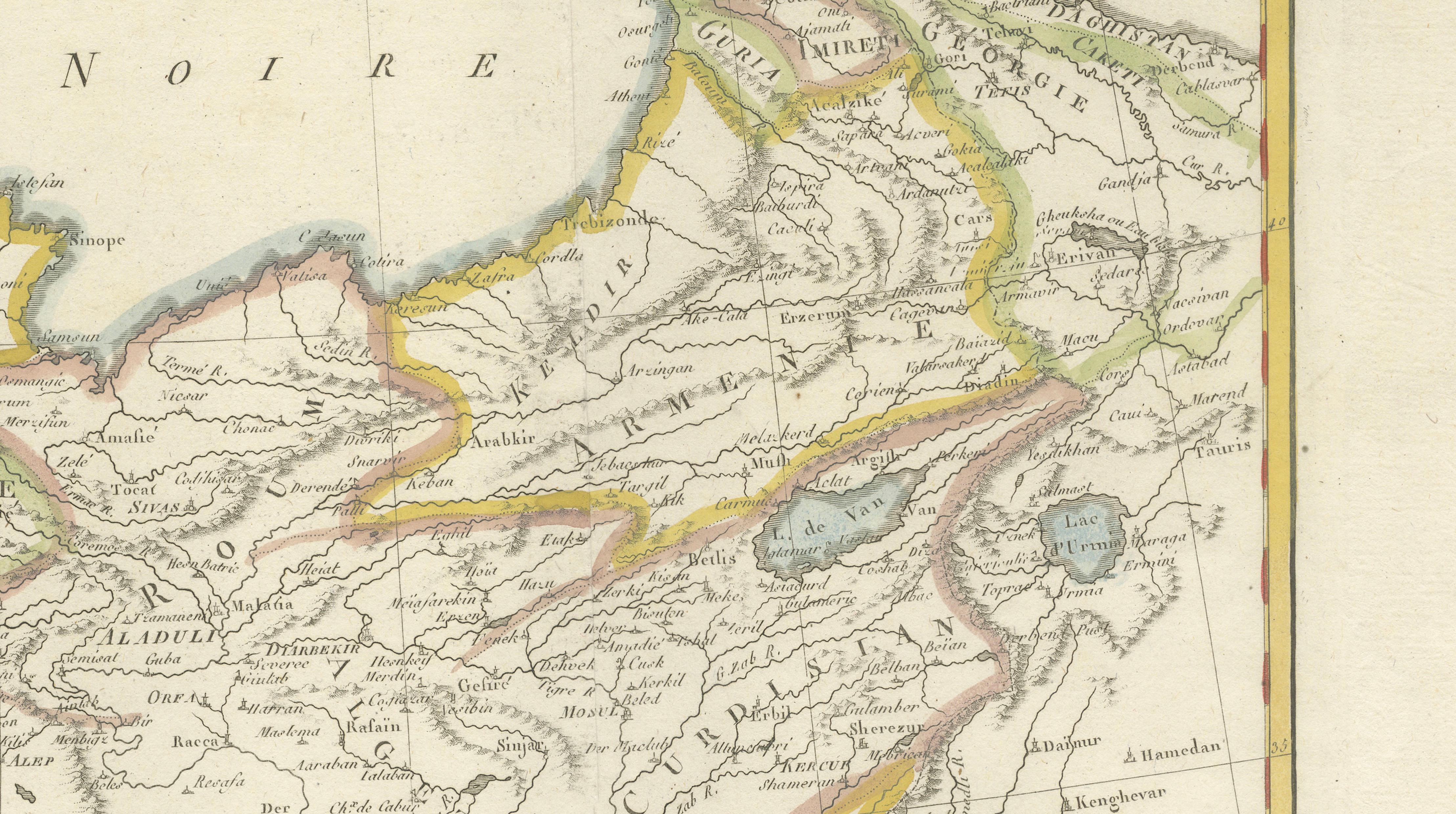
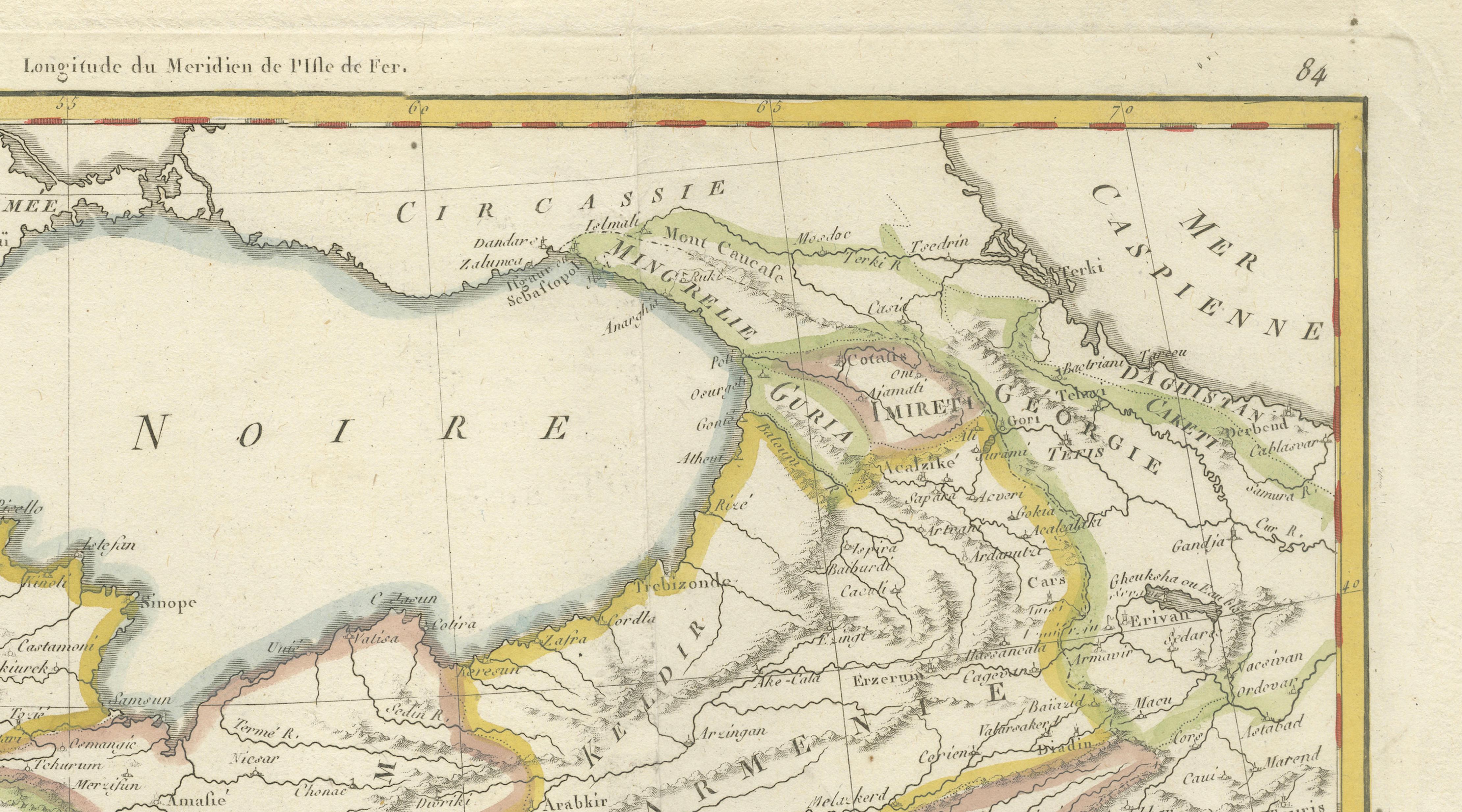
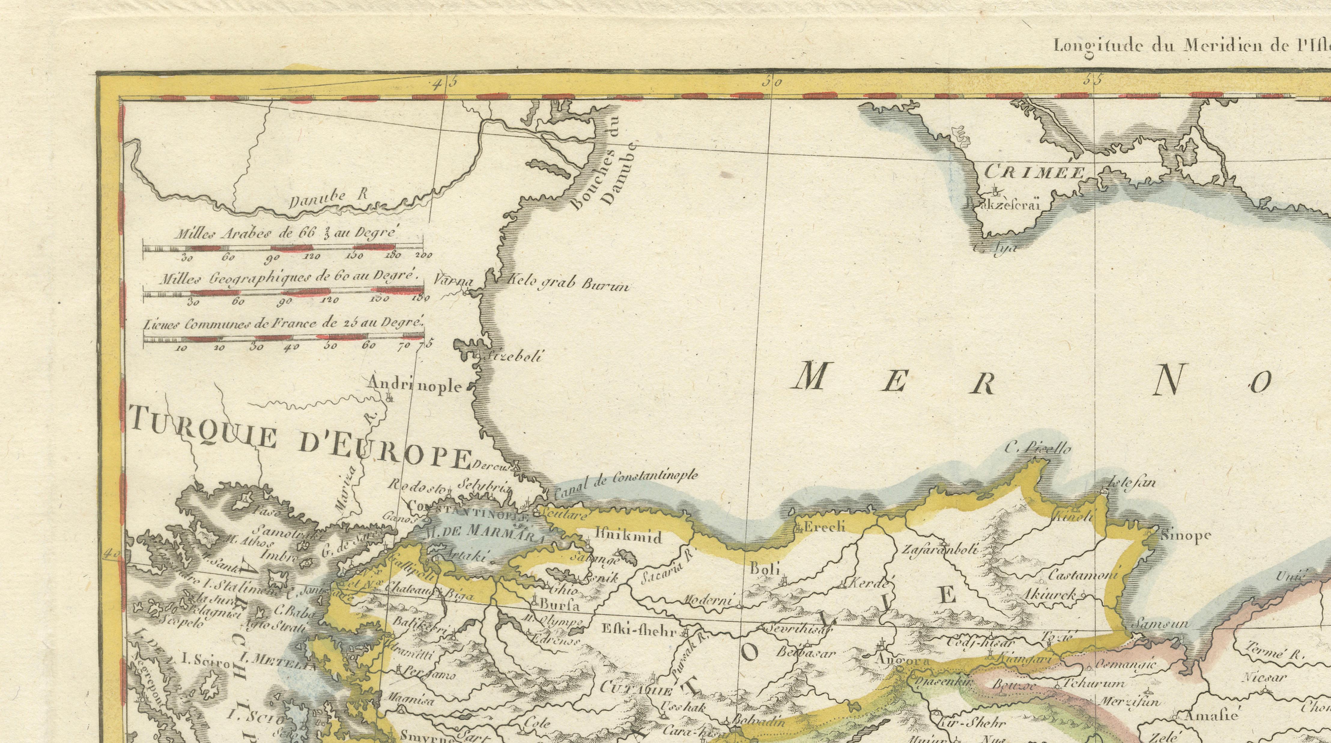
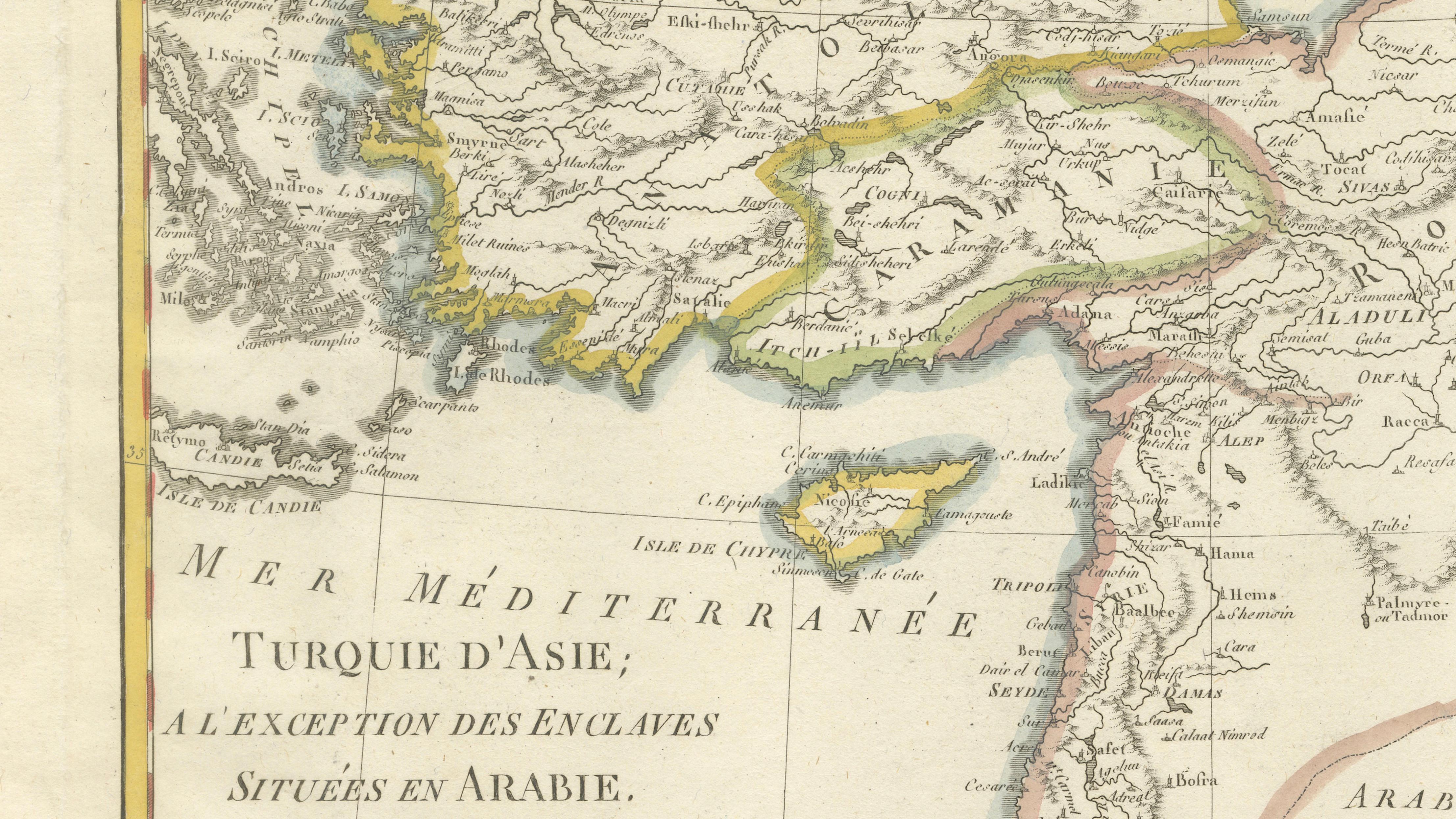
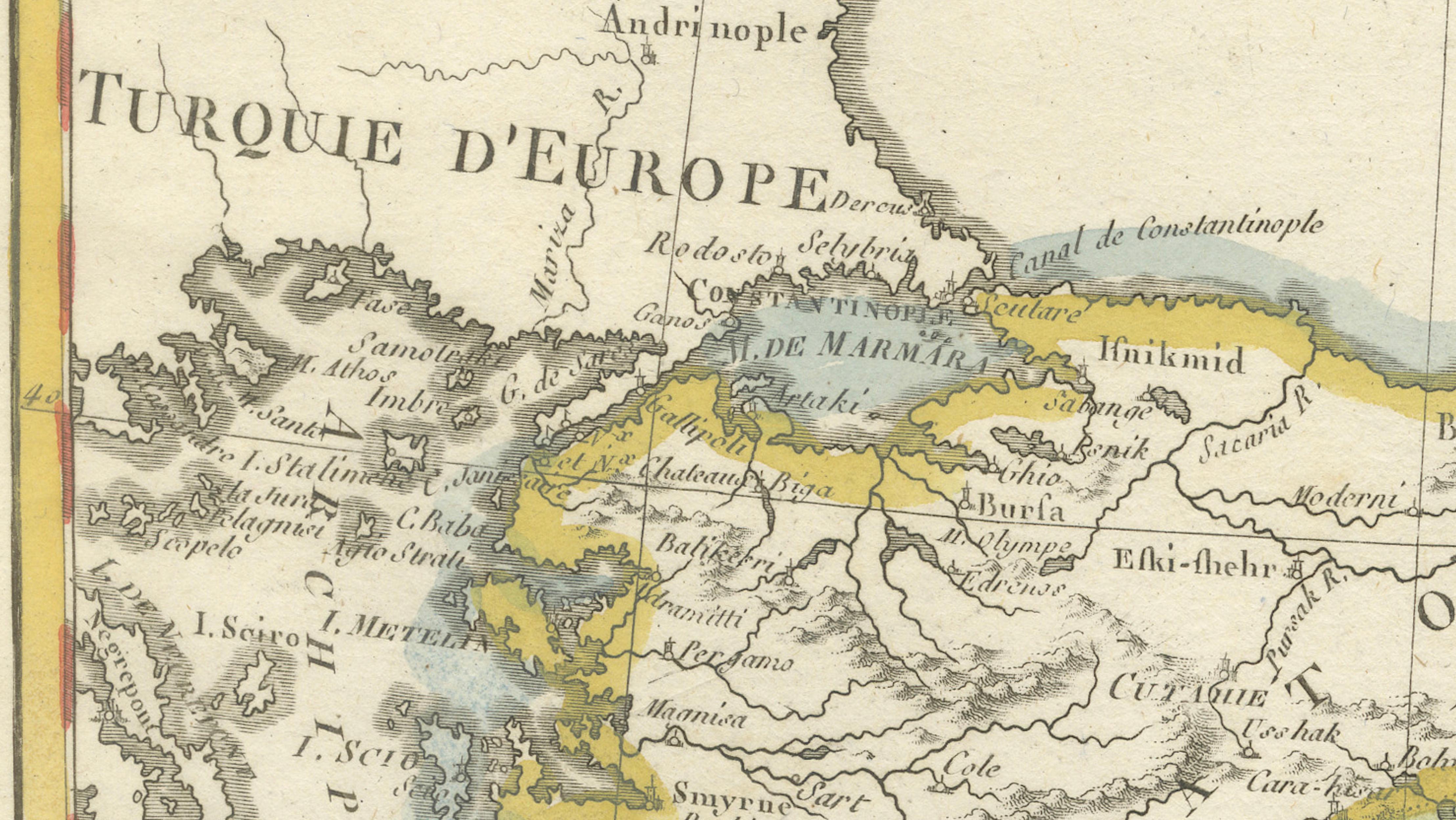
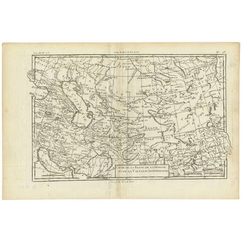
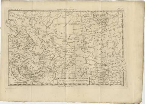
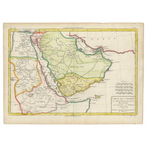
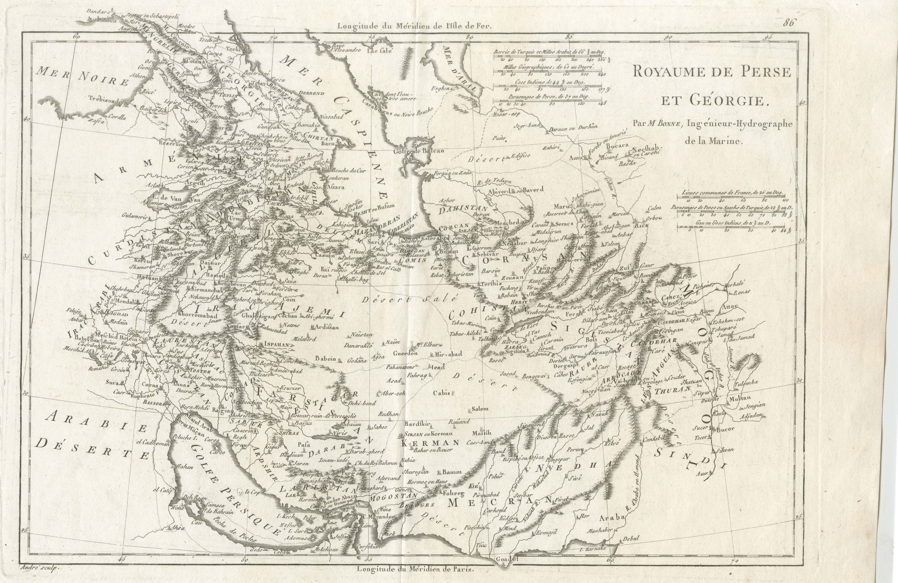
A finely engraved and beautifully hand-colored 18th-century map titled Turquie d’Asie, created by the distinguished French cartographer Rigobert Bonne, Engineer-Hydrographer to the French Navy. Published circa 1771–1780, this original copperplate engraving offers a clear and elegant representation of the Ottoman Empire’s territories in Asia during a pivotal period in early modern geopolitics.
The map covers a vast and historically significant region, including modern-day Turkey (Asia Minor), Syria, Iraq, Cyprus, parts of Persia (Iran), and the Caucasus. The Black Sea and the eastern Mediterranean are prominently depicted, alongside key geographical and political regions such as Arabia, Persia, and Desert Arabia. Major cities, rivers, and mountain ranges are carefully delineated, reflecting the growing precision and scientific approach to cartography in the late 18th century.
Bonne’s maps are renowned for their clarity and balance, combining accurate geographic information with refined engraving techniques. This example is enhanced with original hand coloring, which highlights regional divisions and adds visual warmth and decorative appeal. The restrained yet elegant composition makes it particularly suitable for display, while still retaining its scholarly value.
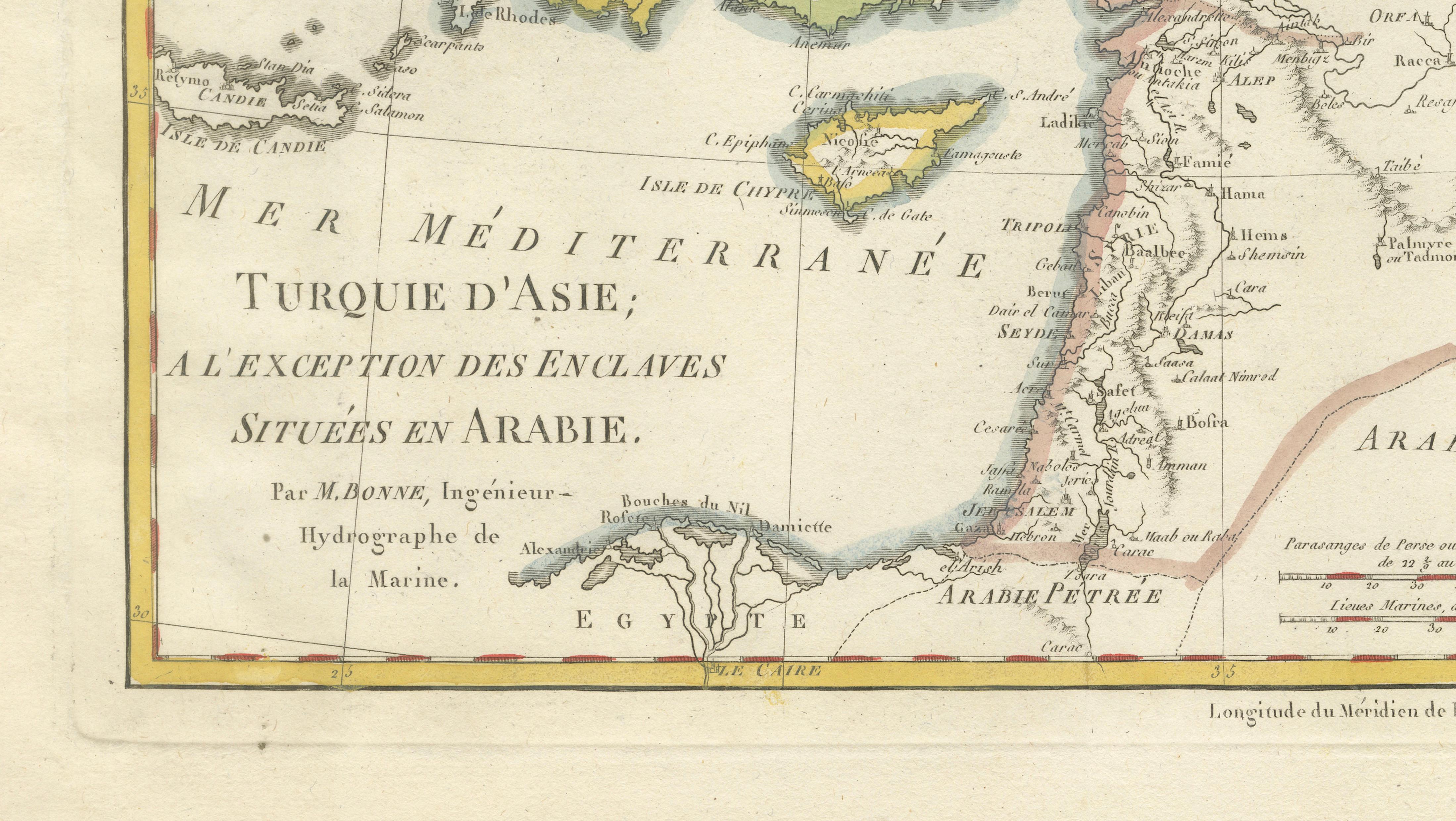
The title translates as “Turkey in Asia, with the exception of the enclaves situated in Arabia,” reflecting the European perspective on Ottoman territorial organization at the time. As such, the map offers not only geographic insight but also a glimpse into the political and cultural frameworks through which the region was understood in 18th-century Europe.
Printed on a generous sheet with original fold lines, as issued, this engraving is both a historical document and a decorative object. Maps of the Ottoman Empire and the broader Middle East from this period are increasingly sought after for their relevance to global history and their strong visual presence.
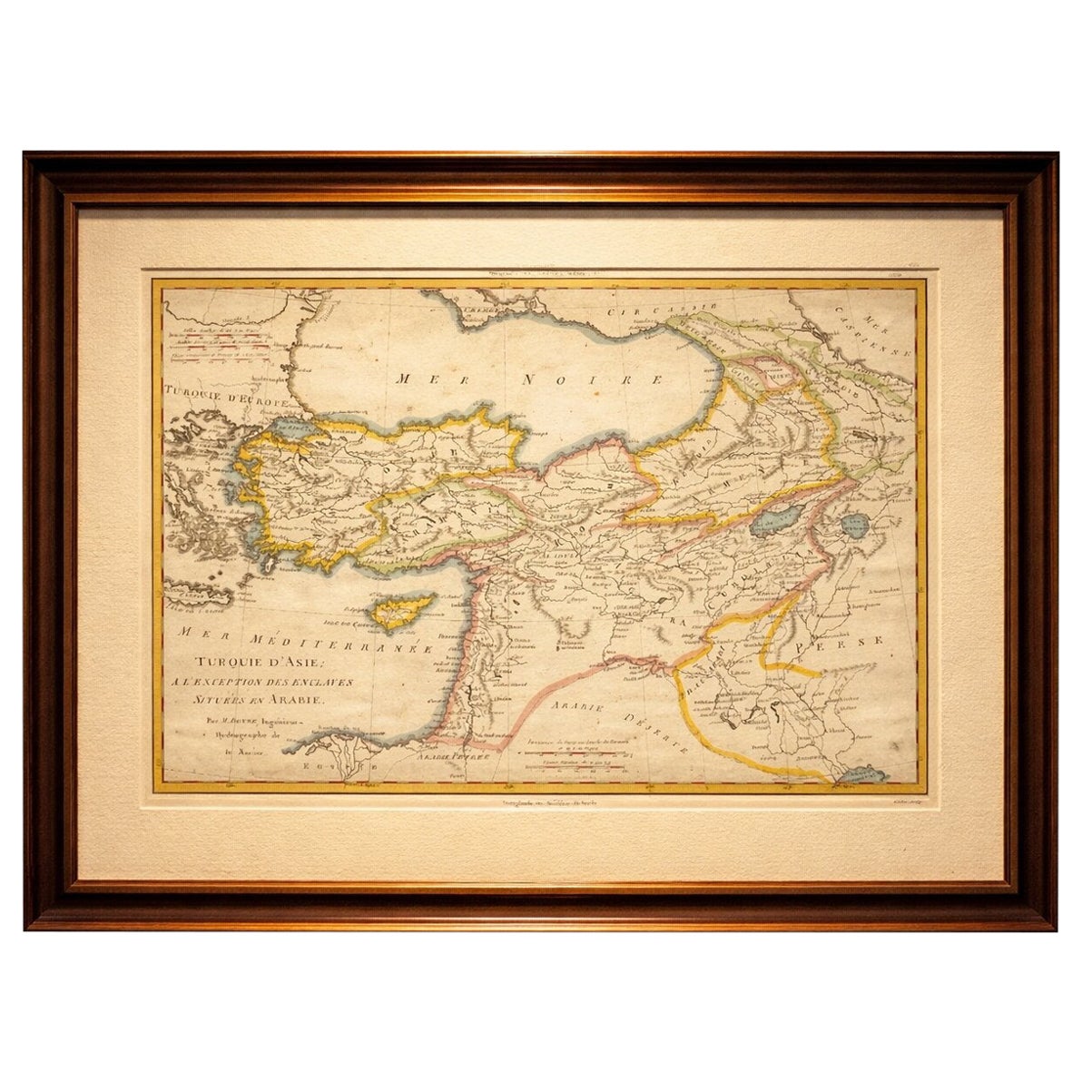
This is an original 18th-century engraving, not a reproduction. The map is sold unframed; any framed images are shown for presentation and interior inspiration only and may not always be on scale with the original.
Condition report:
Good condition, with general age-related toning. Original fold lines visible. Minor edge wear and light staining consistent with age. The hand coloring remains fresh and attractive. Please study the image carefully.
Framing tips:
This map benefits from a classic museum-style presentation. A dark walnut or soft gold frame combined with a wide ivory mat will enhance the hand coloring and give the piece strong wall presence. Particularly effective in a study, library, or refined interior.