Isthmus of Caucasus and Armenia, Antique Map, Black Sea to Caspian, 1860
€ 450
Original antique · The actual sheet photographed · Certificate of authenticity on request · Sold unframed · Worldwide shipping from € 15 (rates)
Date
1860
Mapmaker / artist
W. G. Blackie, Scotland, 1860
Technique
Copper engraving with original hand coloring
Sheet size
37 × 54 cm (14.6 × 21.3 in)
Condition
Good
Reference
BG-13383-16
What the condition grades mean
Excellent
Bright and clean, with no faults worth mentioning.
Very good
Only light signs of age, such as faint toning.
Good
Normal signs of age for a sheet of this period: toning, some foxing, small marks or neat old repairs.
Fair
Clear faults such as staining, tears or repairs, priced to match.
Every fault we see is written in the condition note, and the whole sheet is shown uncropped in the photos.
Condition
Good antique condition. Light overall age toning consistent with age. Minor scattered foxing and light handling marks, mostly confined to the margins. Original central fold as issued. No major tears or losses.
About this sheet
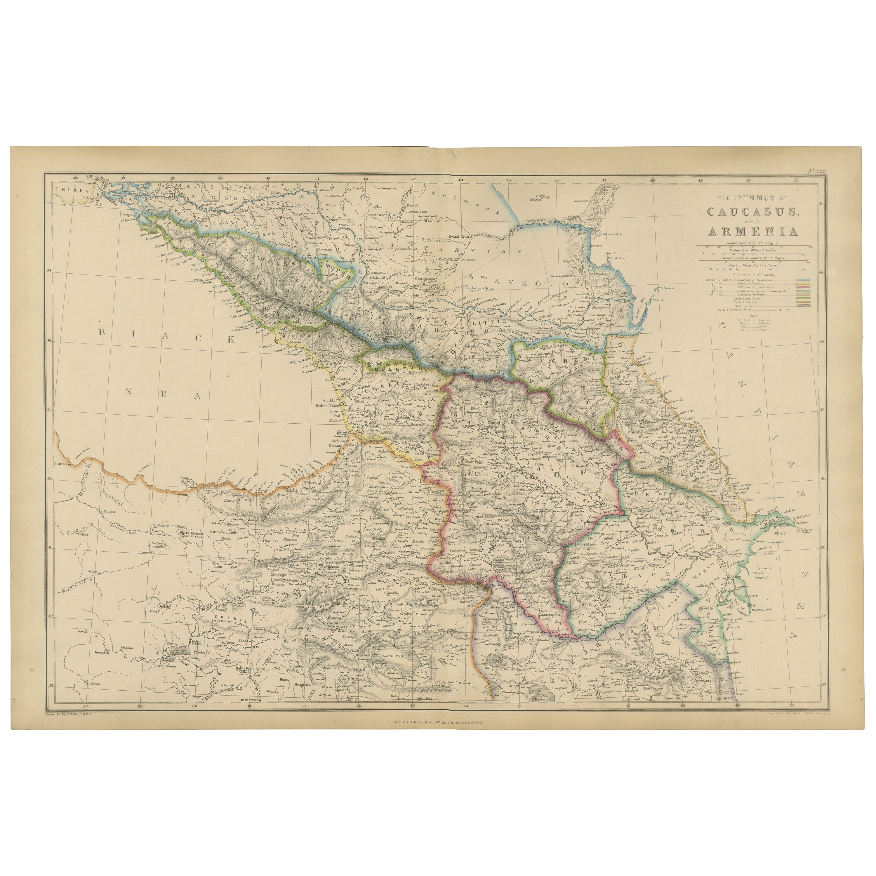
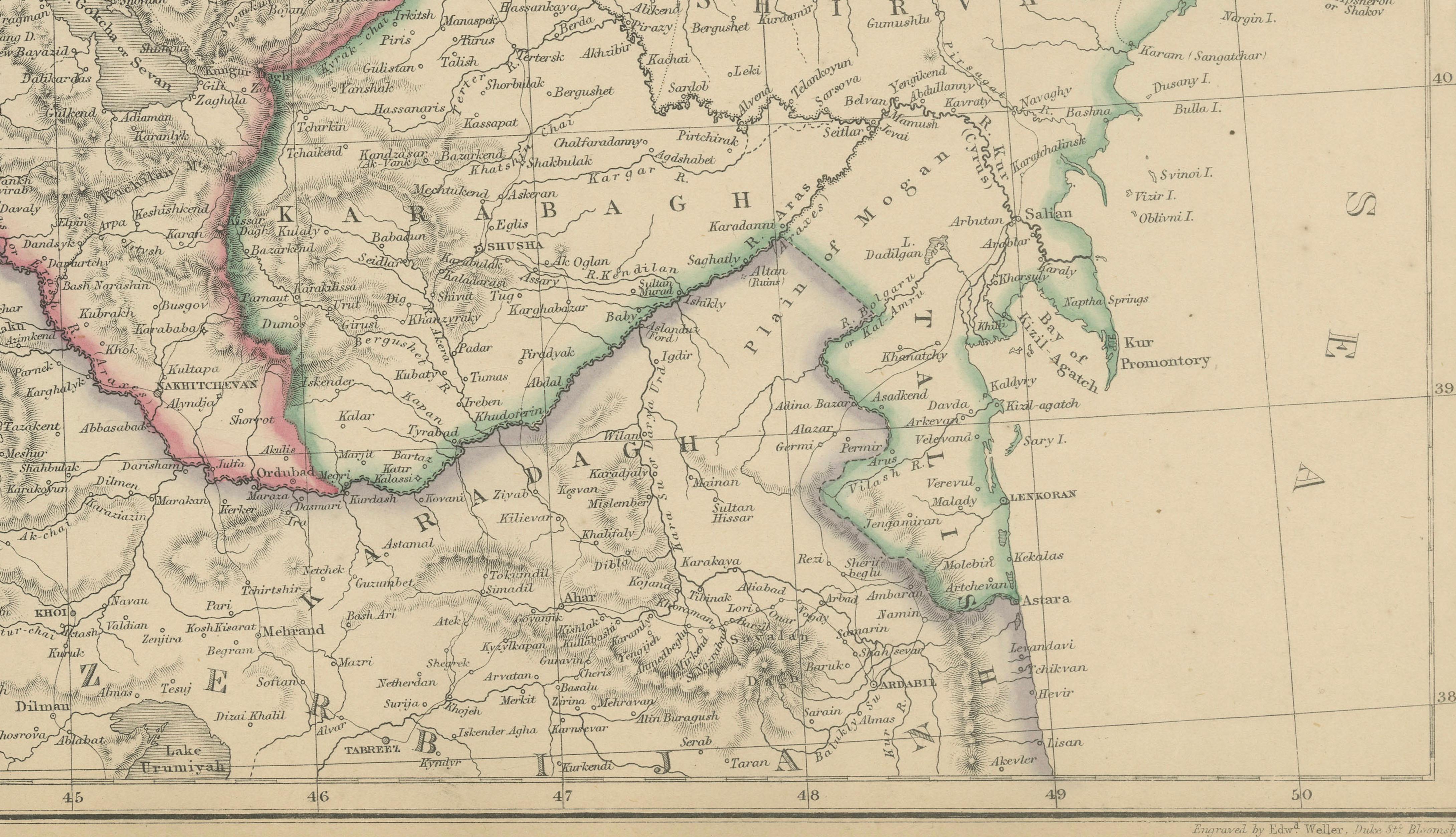
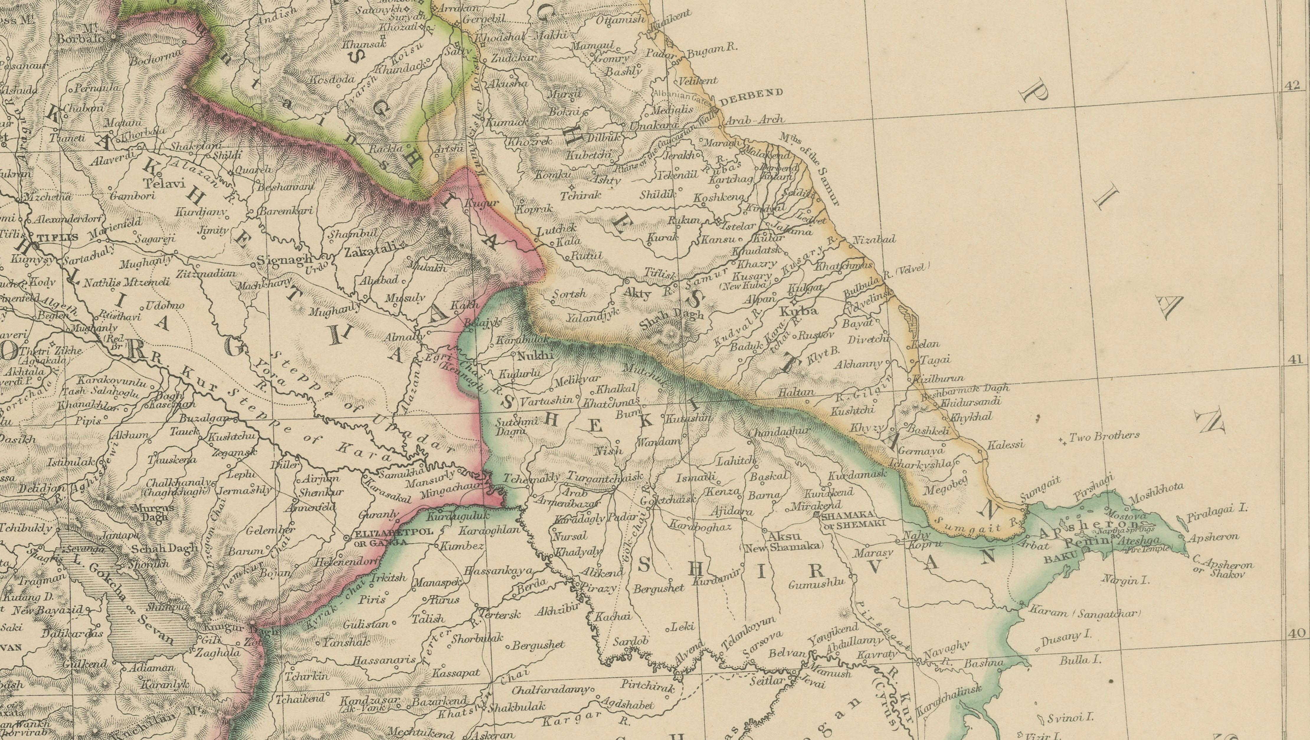
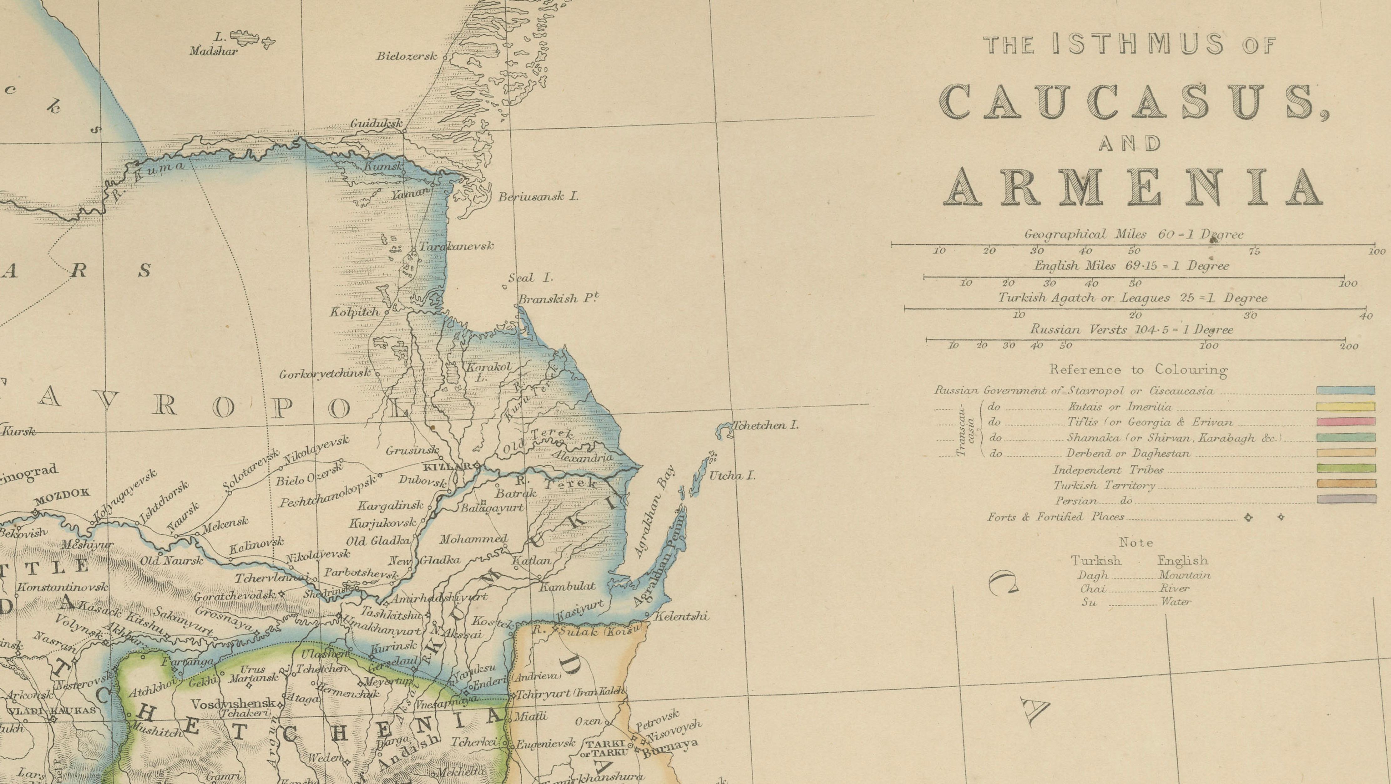
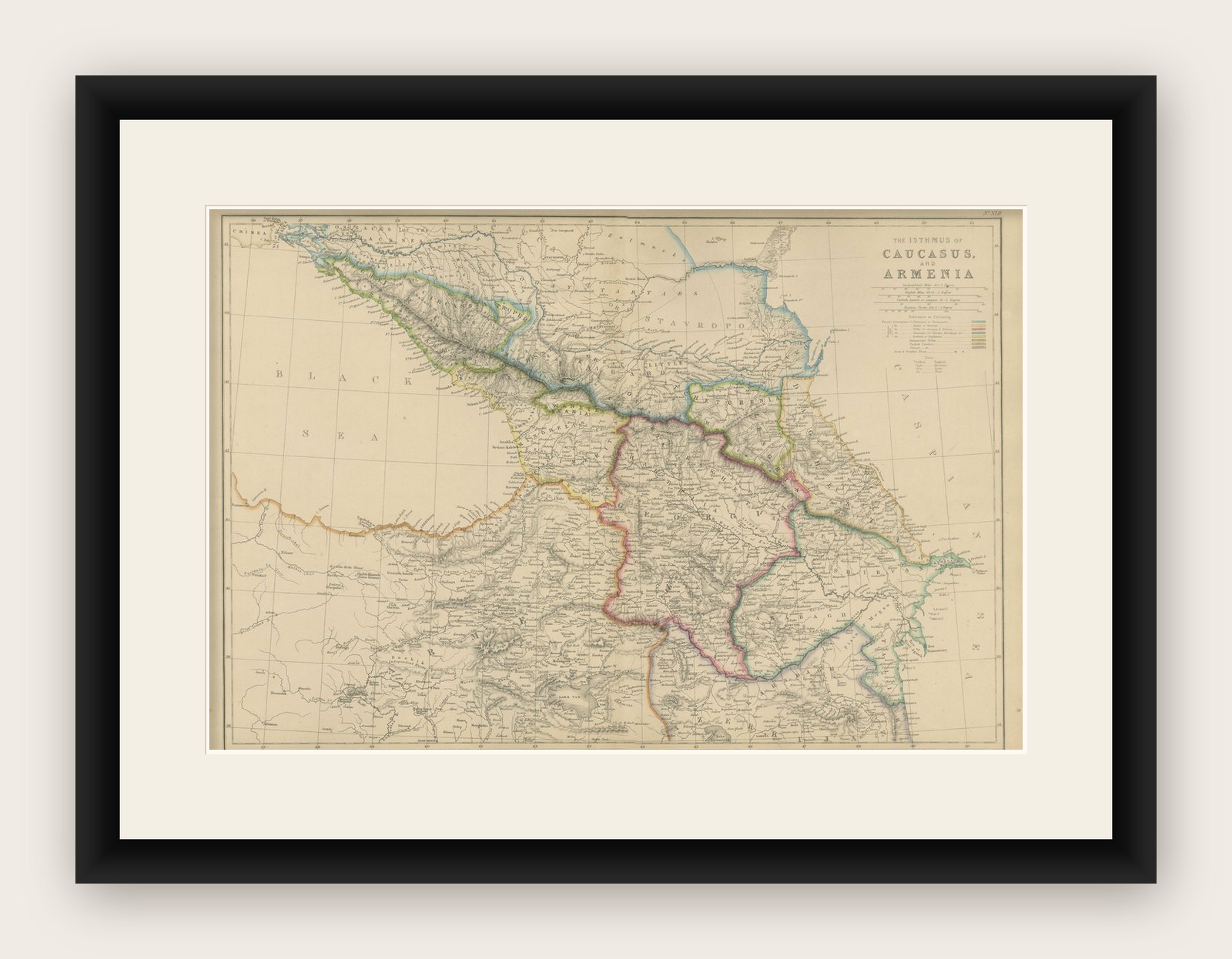
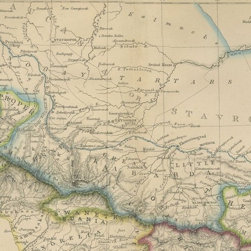
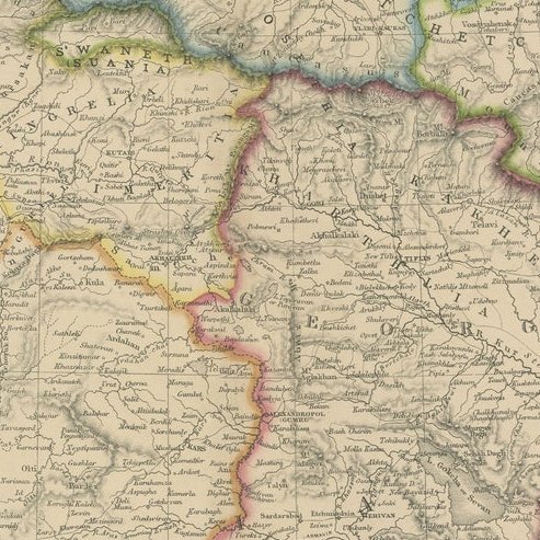
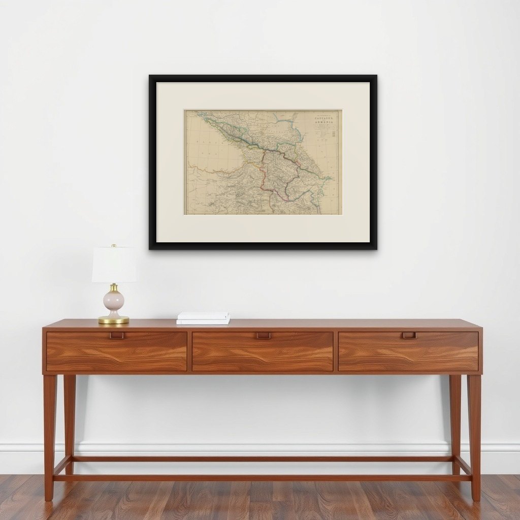
Isthmus of Caucasus and Armenia, Antique Map, Black Sea to Caspian, 1860 This original antique map titled The Isthmus of Caucasus and Armenia presents a detailed mid-19th-century cartographic view of the strategically important region between the Black Sea and the Caspian Sea. The map originates from The Imperial Atlas of Modern Geography and was published in 1860 by W. G. Blackie, one of the foremost British atlas publishers of the Victorian era.
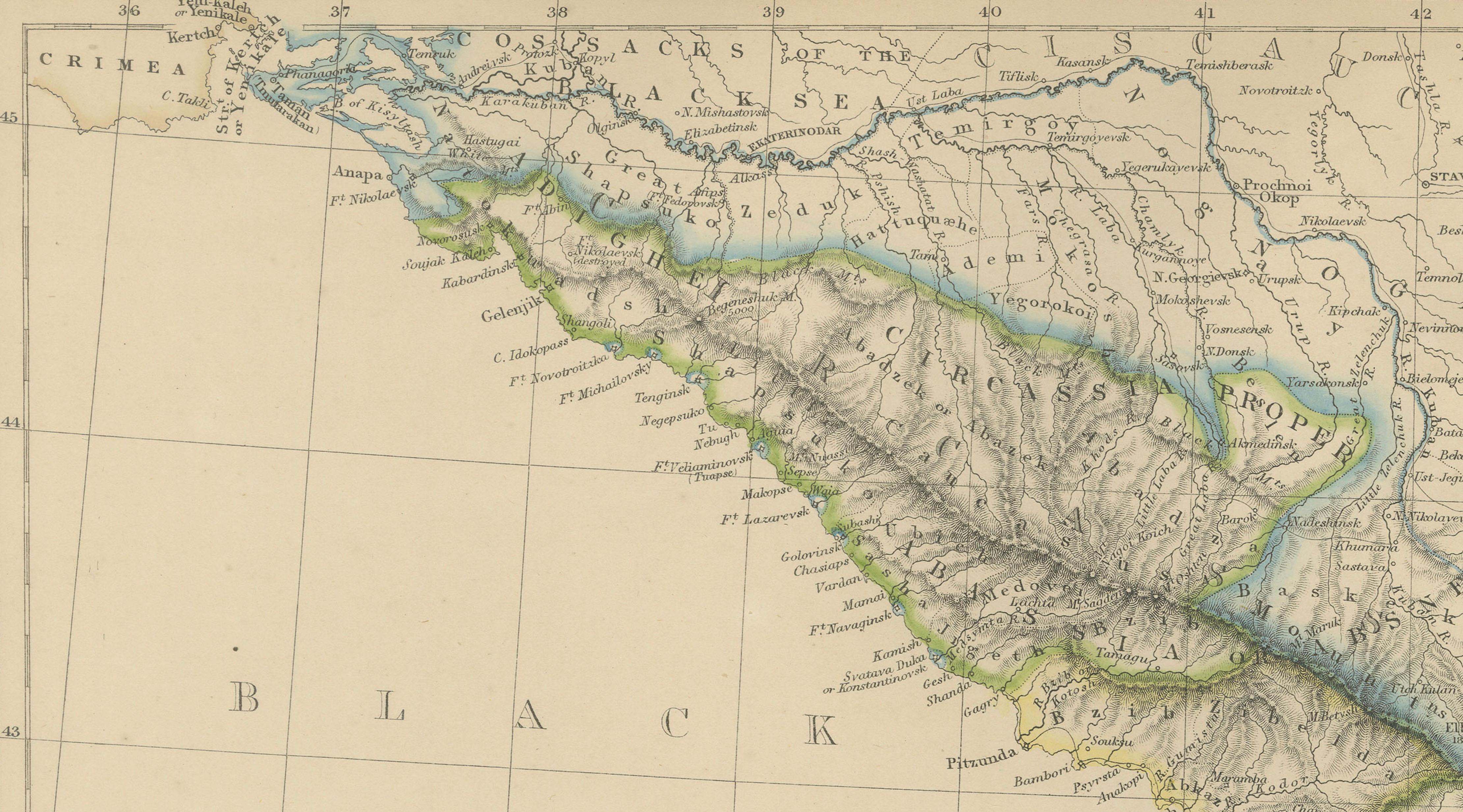
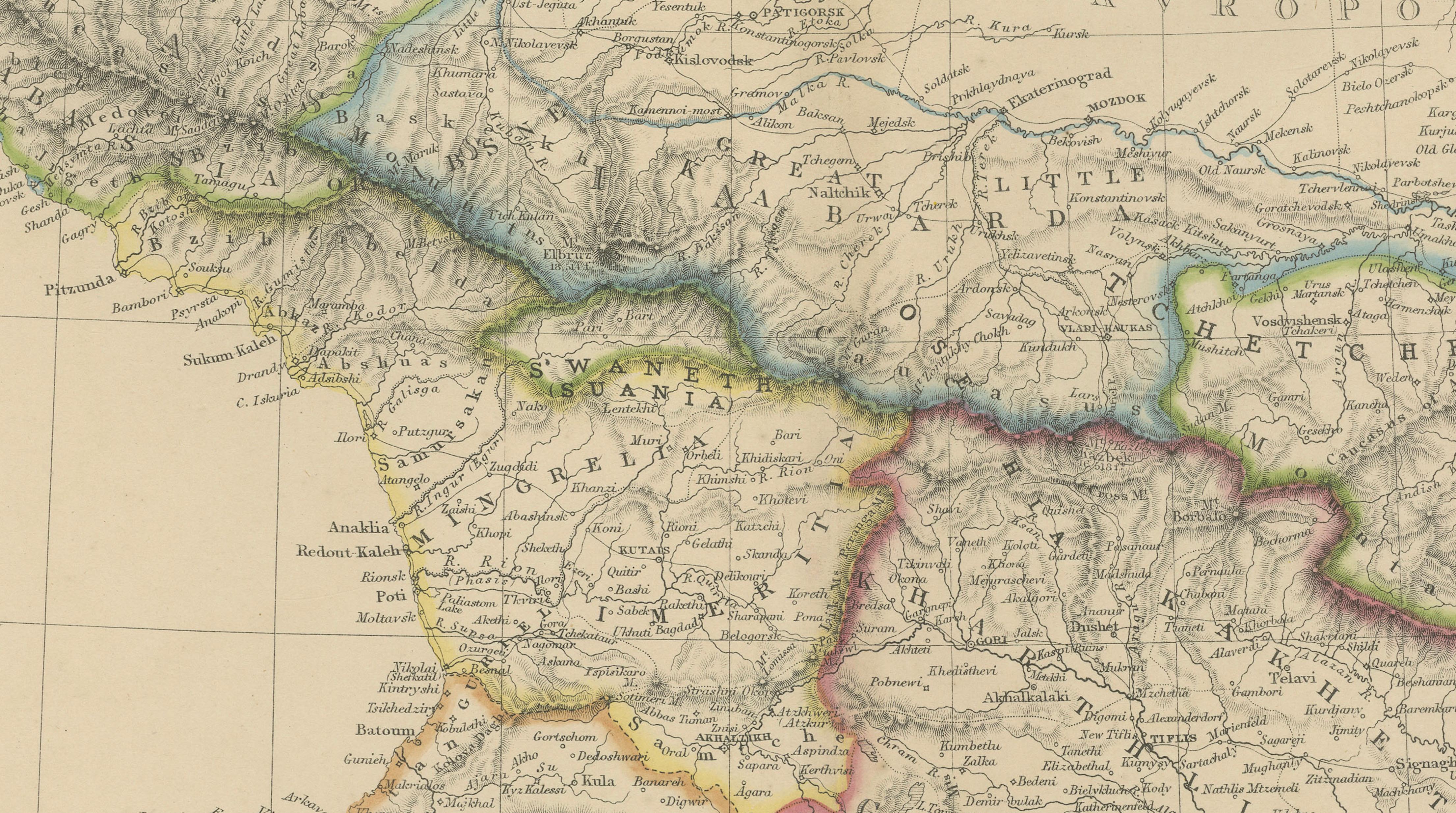
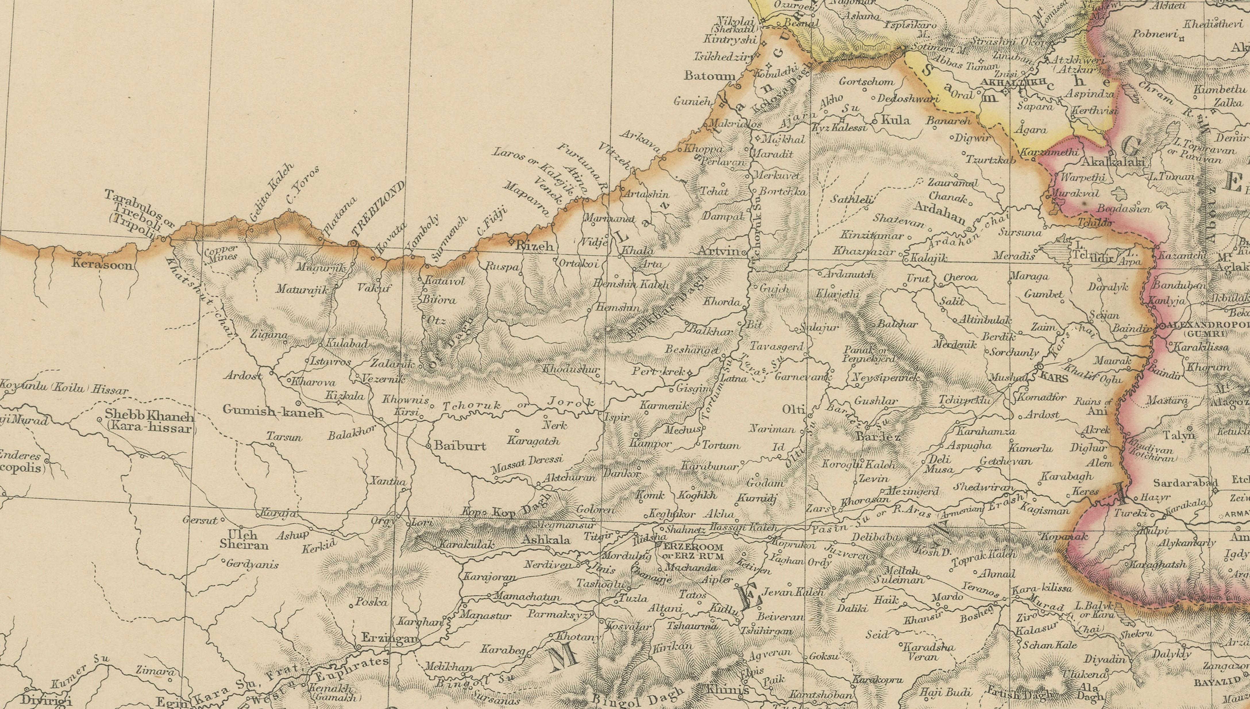
The map covers the Caucasus Mountains and surrounding territories, including Armenia, Georgia, parts of eastern Anatolia, southern Russia, and the western Caspian region. Political boundaries are clearly distinguished with original hand coloring, illustrating the complex frontier zones between the Russian Empire, the Ottoman Empire, and Persia. The Caucasus range is rendered with pronounced relief, emphasizing its role as a natural barrier and cultural divide between Europe and Asia.
Major rivers such as the Kura and Aras are carefully engraved, along with mountain passes, settlements, and trade routes that were vital for military movement, commerce, and pilgrimage. Coastal outlines along the Black Sea and Caspian Sea are clearly delineated, with ports and towns marked in detail. The map also reflects contemporary European interest in the region’s geopolitical importance during a period of imperial expansion and rivalry.
Balancing dense inland detail with open sea areas, the composition offers both scholarly clarity and strong decorative appeal. Its wide horizontal format, fine engraving, and restrained original coloring make it suitable for collectors of Middle Eastern, Russian, and Caucasian cartography, as well as for interior designers seeking a historically grounded wall map with architectural presence.
Condition report: Good antique condition. Light overall age toning consistent with age. Minor scattered foxing and light handling marks, mostly confined to the margins. Original central fold as issued. No major tears or losses.
Framing tips: A wide ivory or warm cream mat will enhance the clarity of the engraving and subtle hand coloring. A dark walnut, black, or understated antique gilt frame complements the map’s academic and exploratory character. Museum or UV-protective glass is recommended.