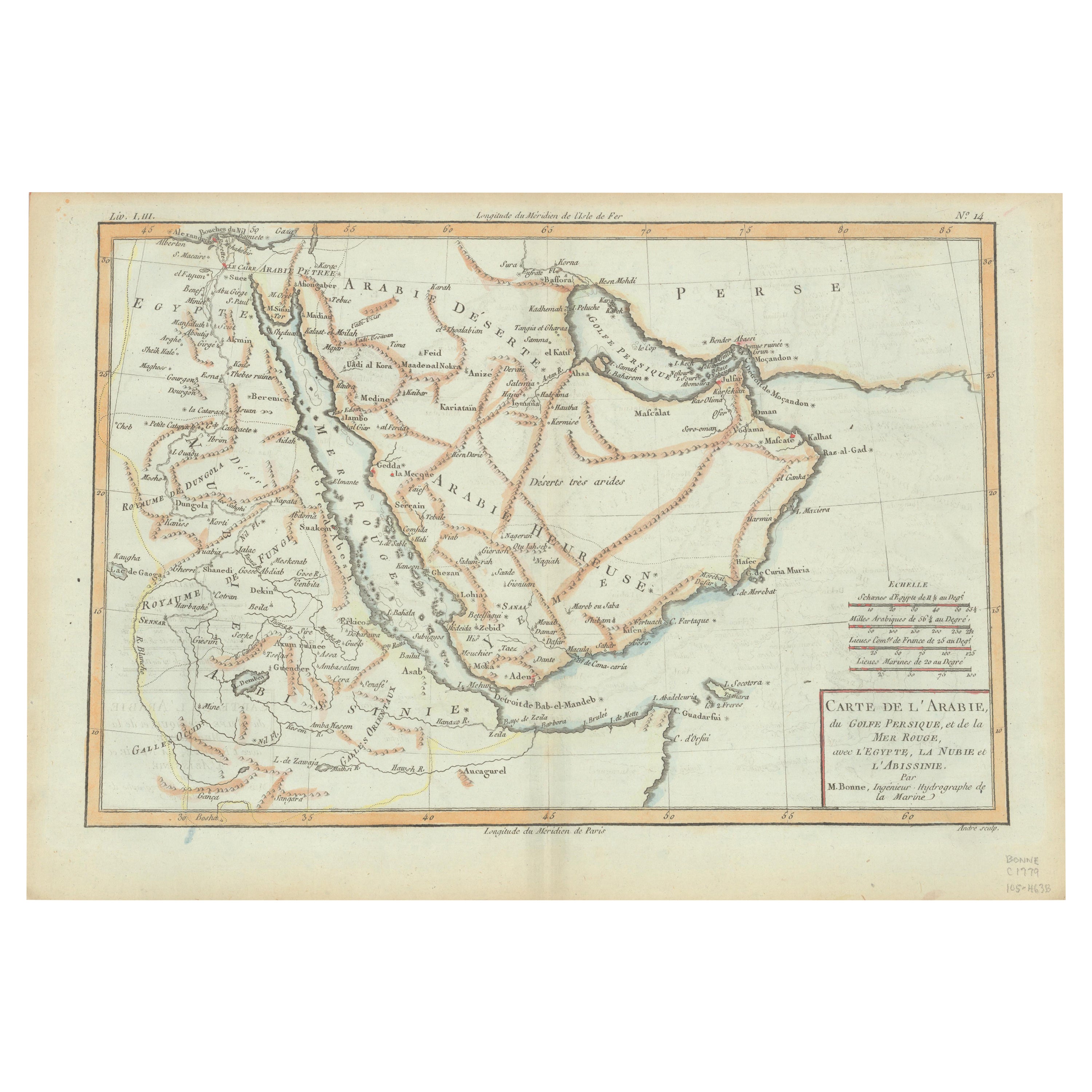
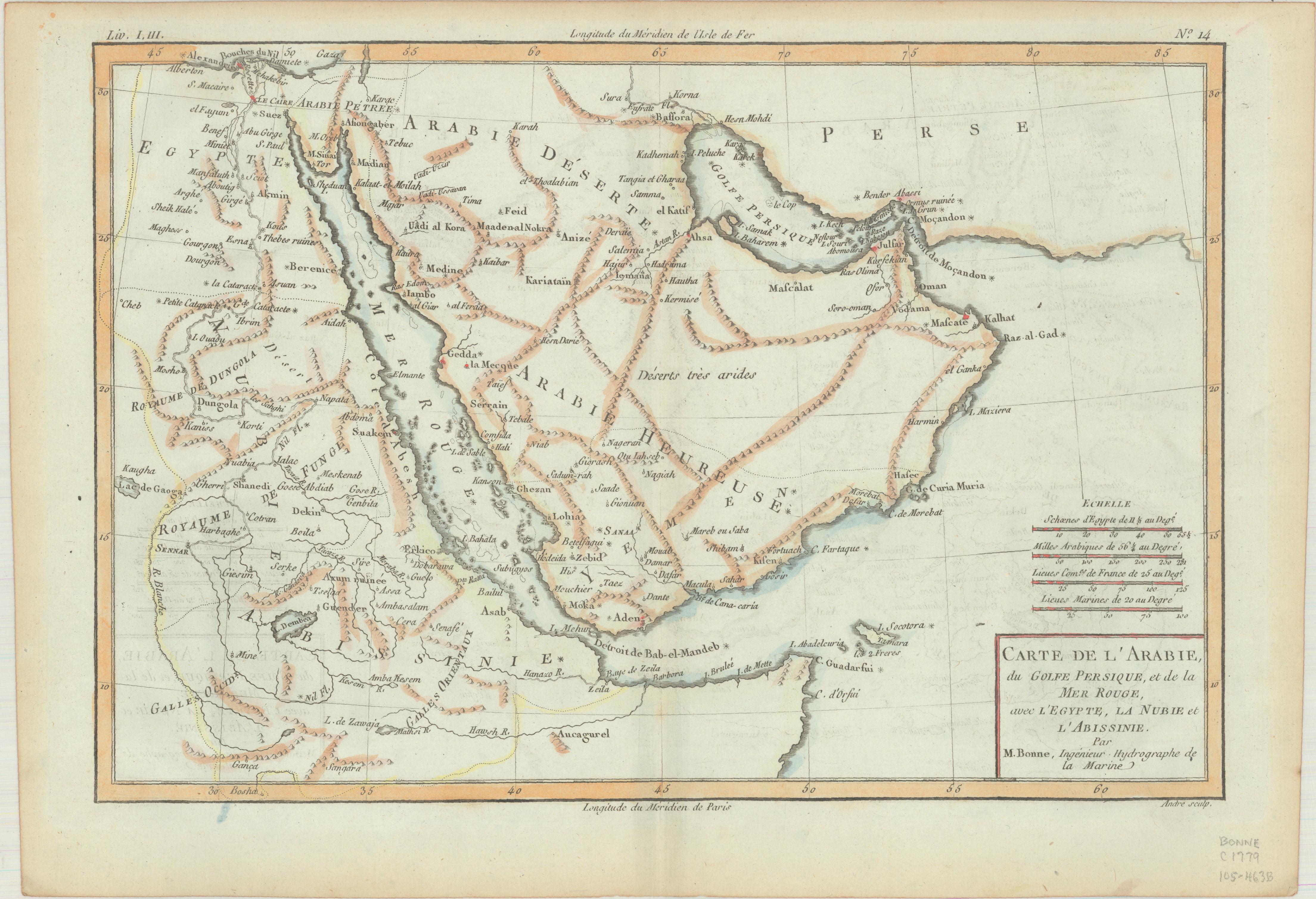
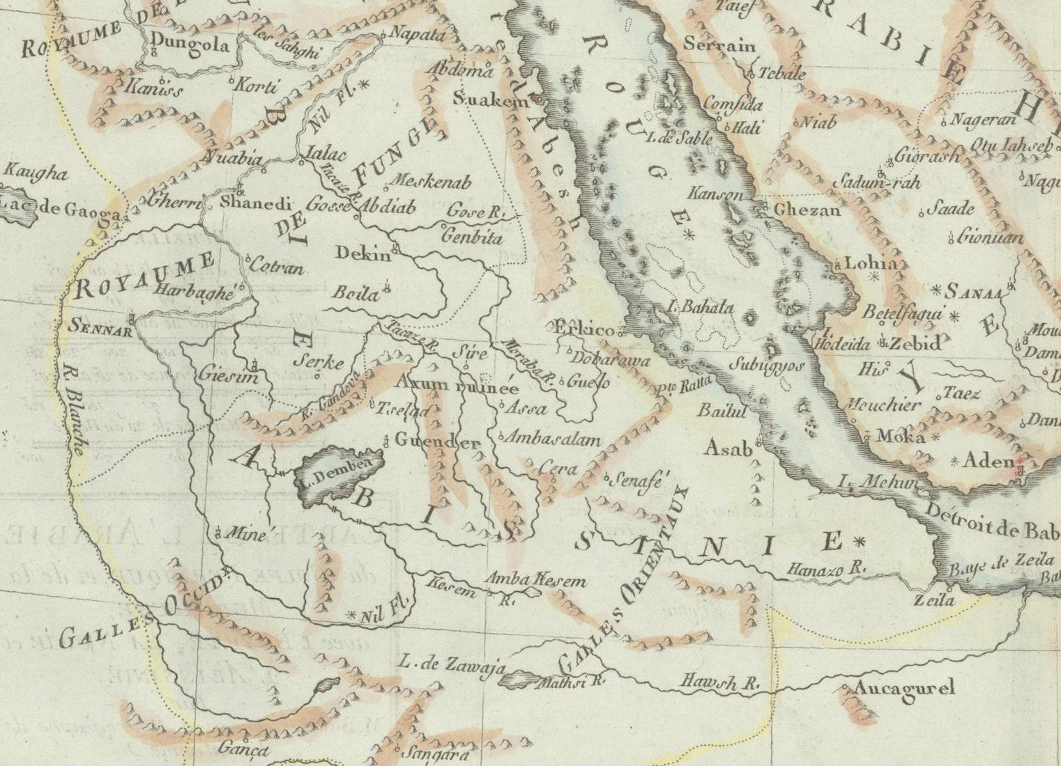
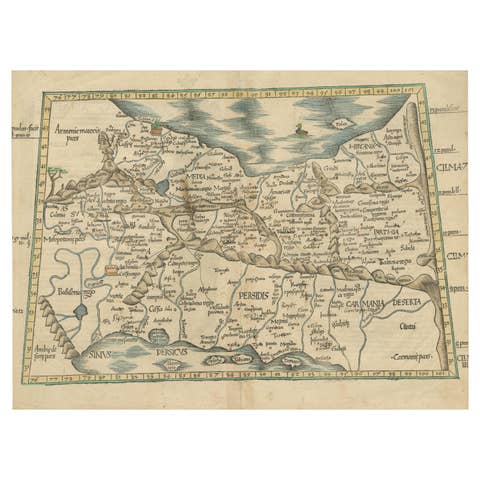
Old Map of the Arabian Peninsula with Parts of Egypt, Sudan, Eritrea & Ethiopia
€ 380
One of a kind: this is the sheet in the photographs. Ships from Langweer, the Netherlands.
Sheet size
21.8 × 32.5 cm (8.6 × 12.8 in)
Condition
Good
Reference
BG-13547
Condition
Issued on watermarked paper with faint offsetting. There is light toning along the sheet edges, otherwise fine.
About this sheet
"Carte de l'Arabie, du Golfe Persique, et de la Mer Rouge, avec l'Egypte, la Nubie et l'Abissinie", Bonne, Rigobert
Subject: Arabia Period: 1780 (circa) Publication: Atlas de Toutes les Parties Connues du Globe Terrestre
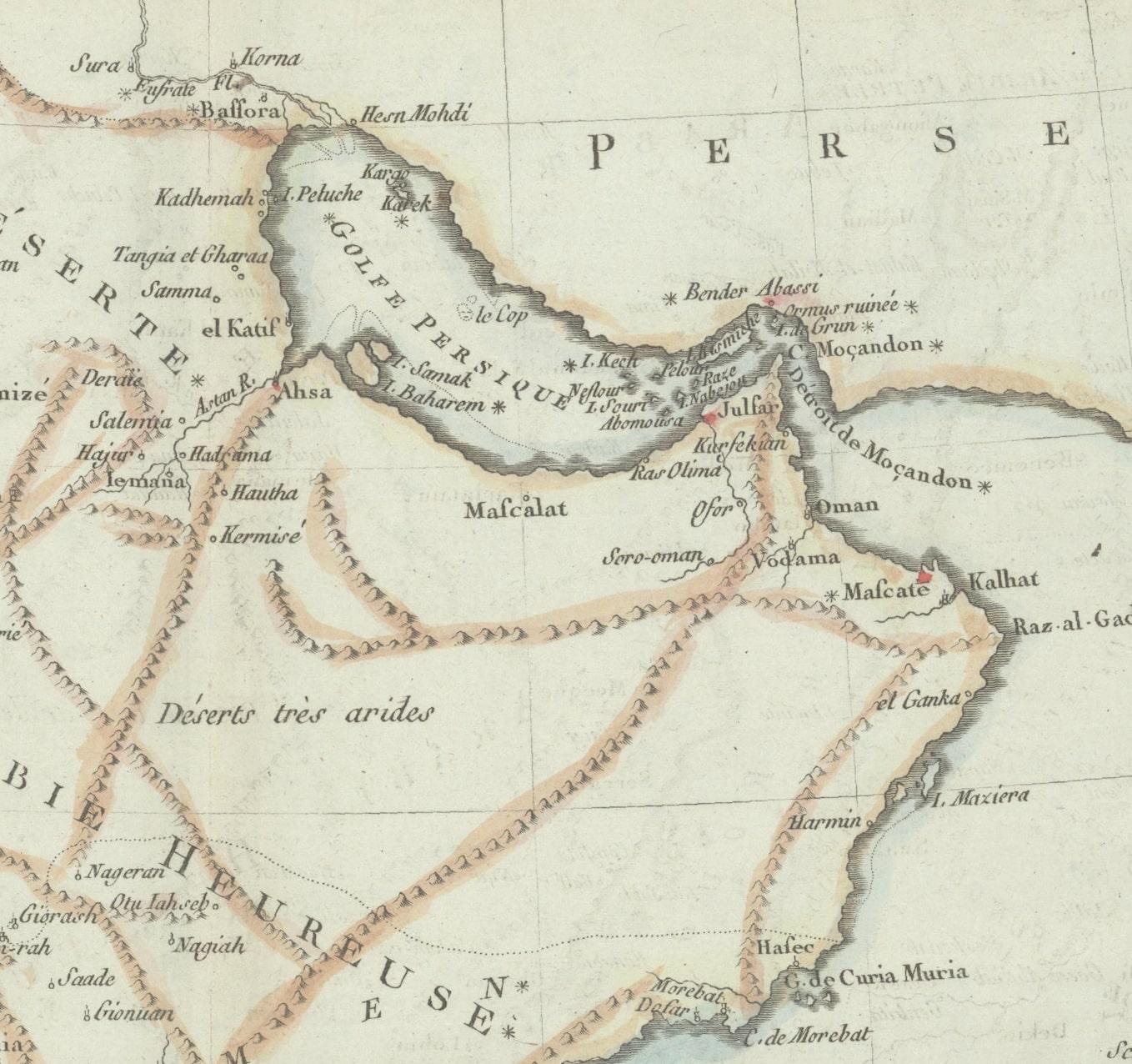
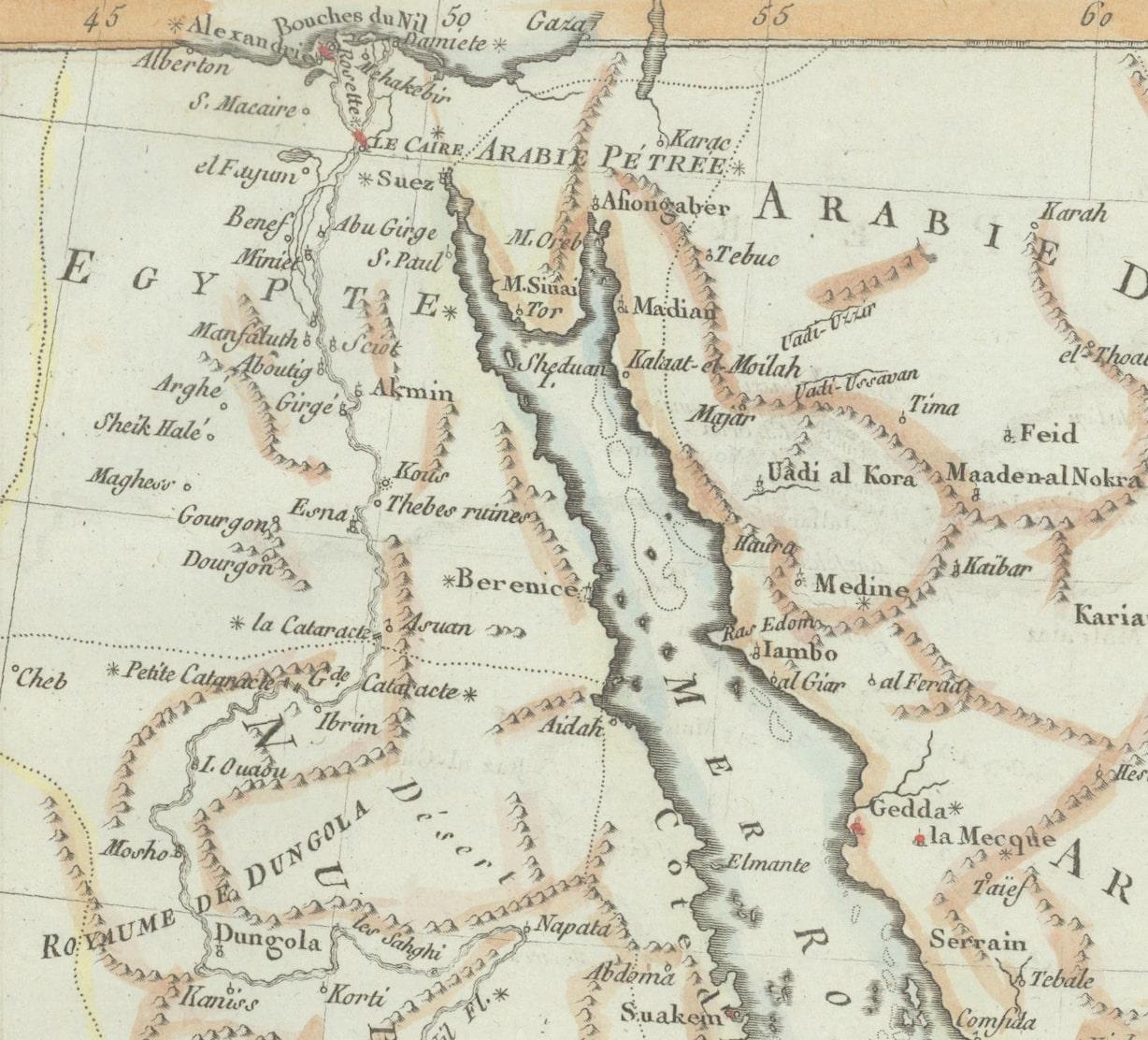
This handsome map of the Arabian Peninsula extends to show parts of Egypt, Sudan, Eritrea and Ethiopia. There are plenty of place names and nice topographical detail. Arabia is divided into Arabie Deserte, Arabie Heureuse and Arabie Petree.