About this sheet
Antique Map Showing James Bruce’s Journey to the Source of the Nile, c.1790

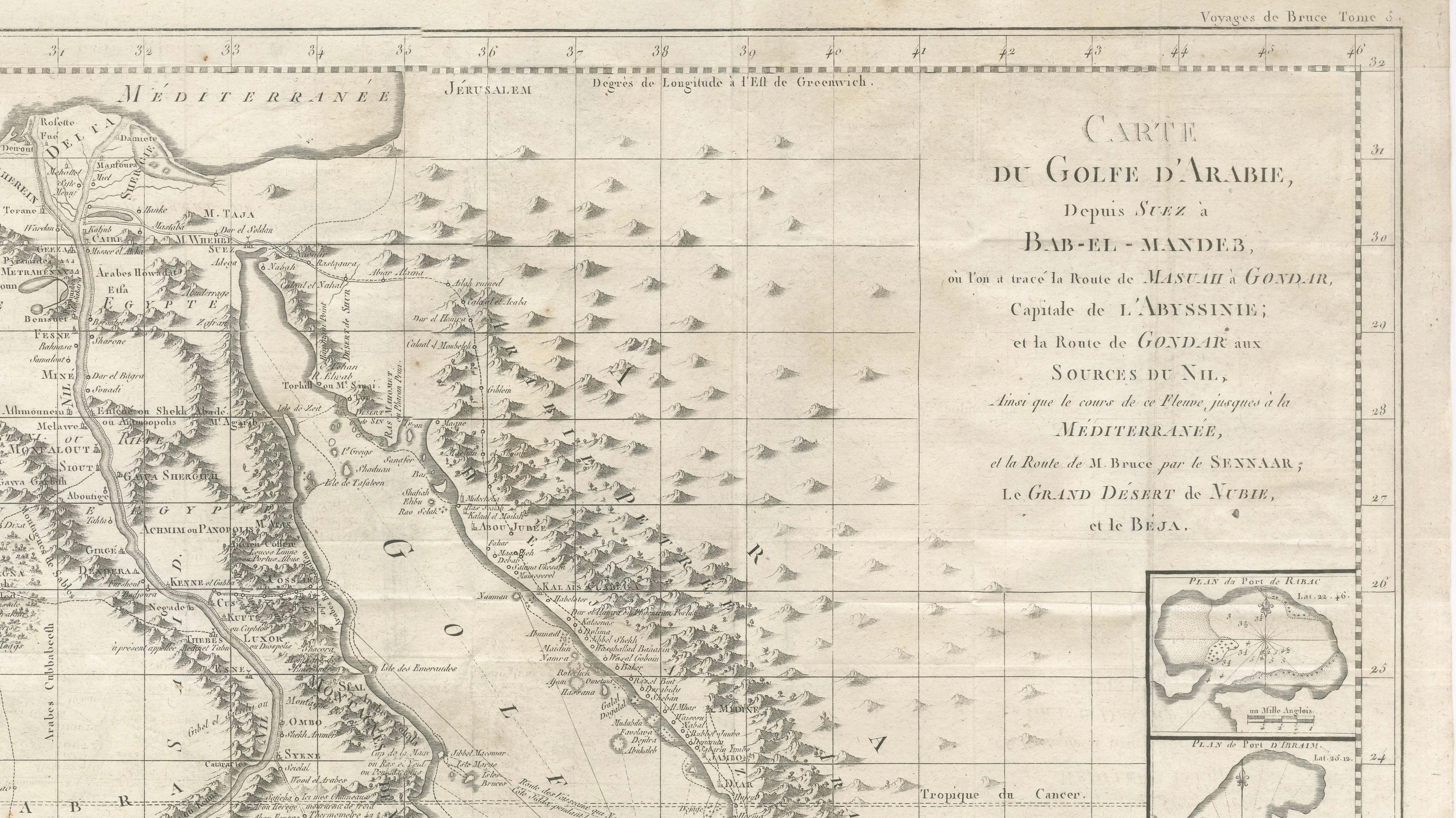
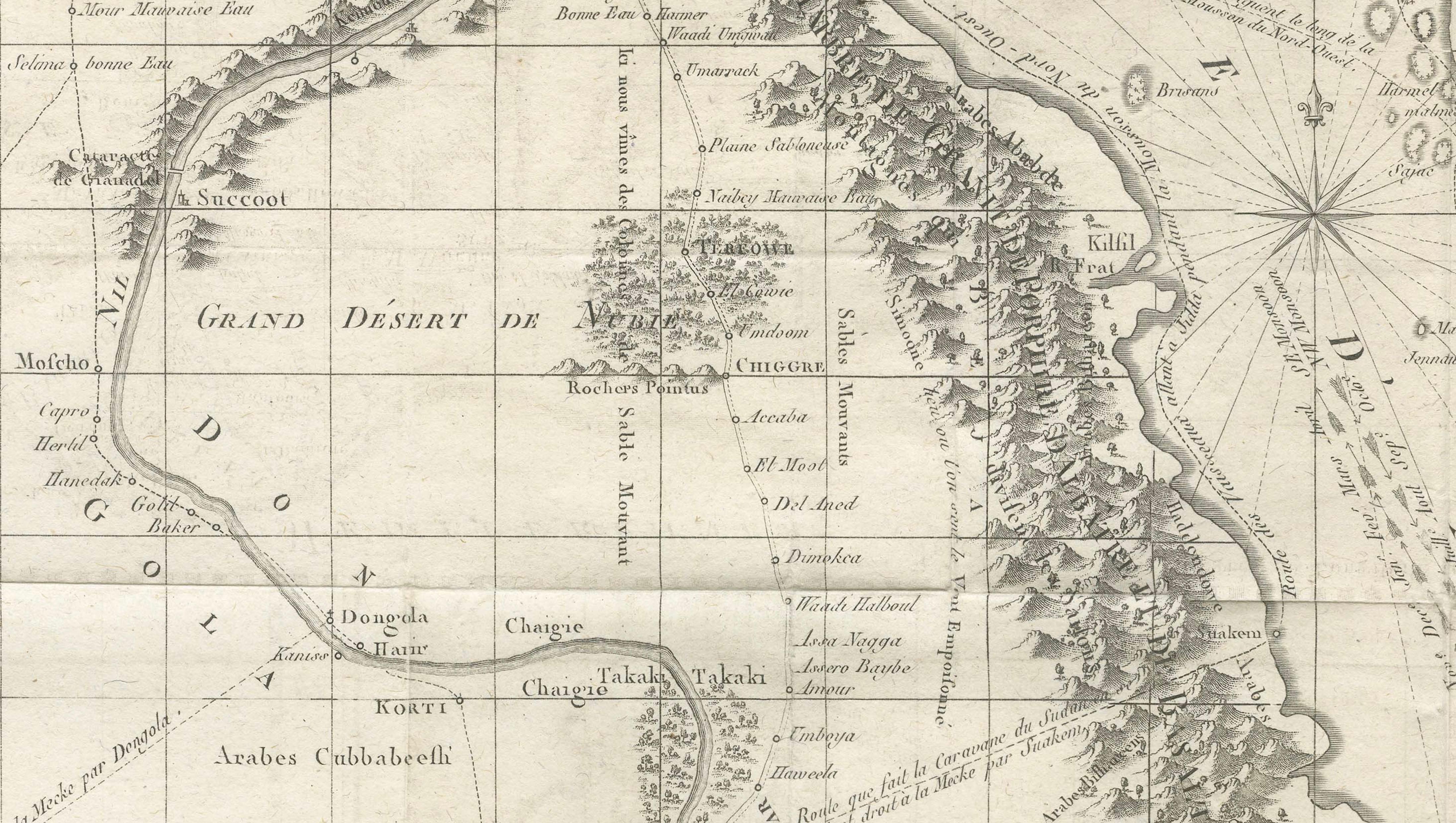
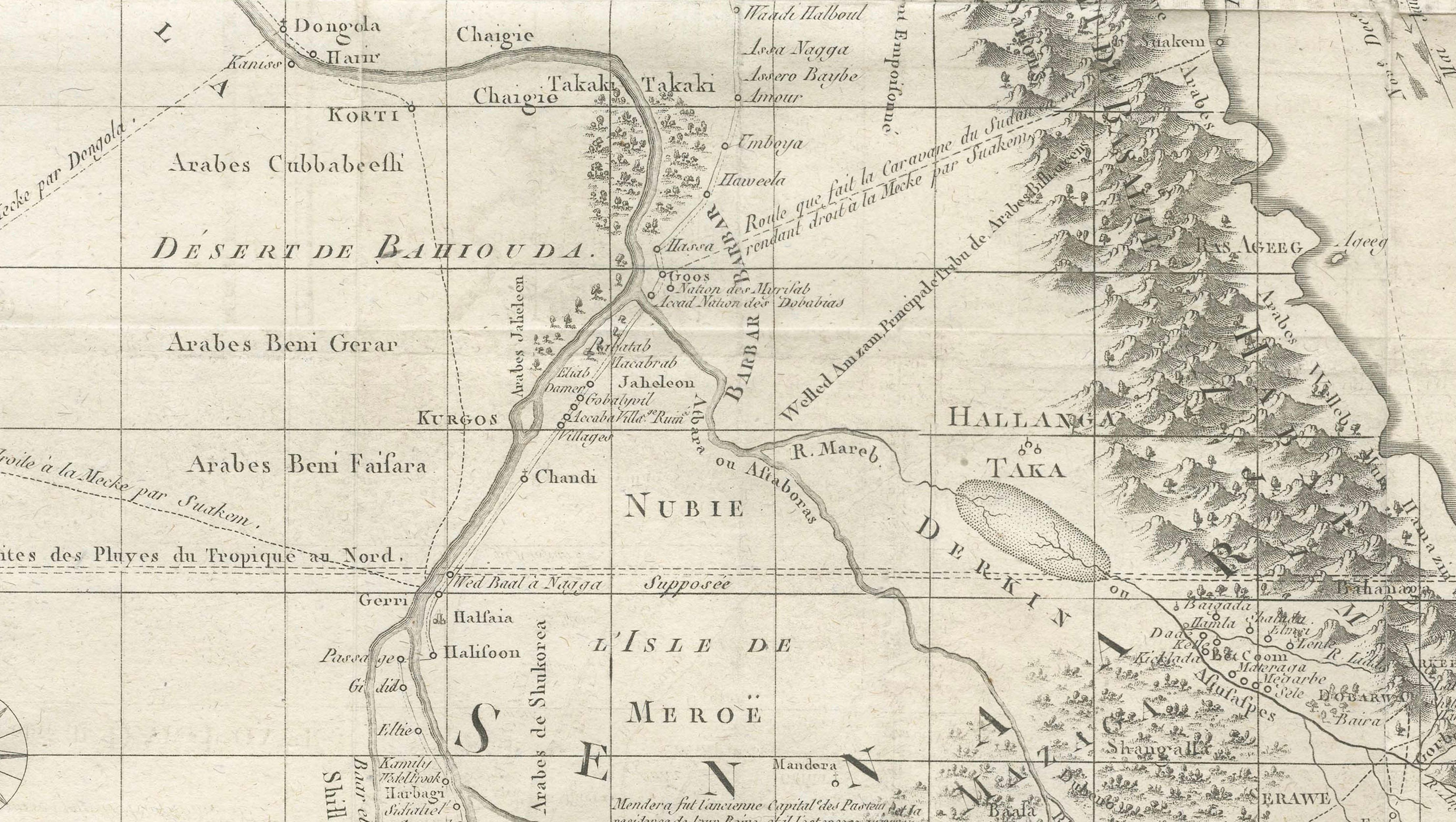
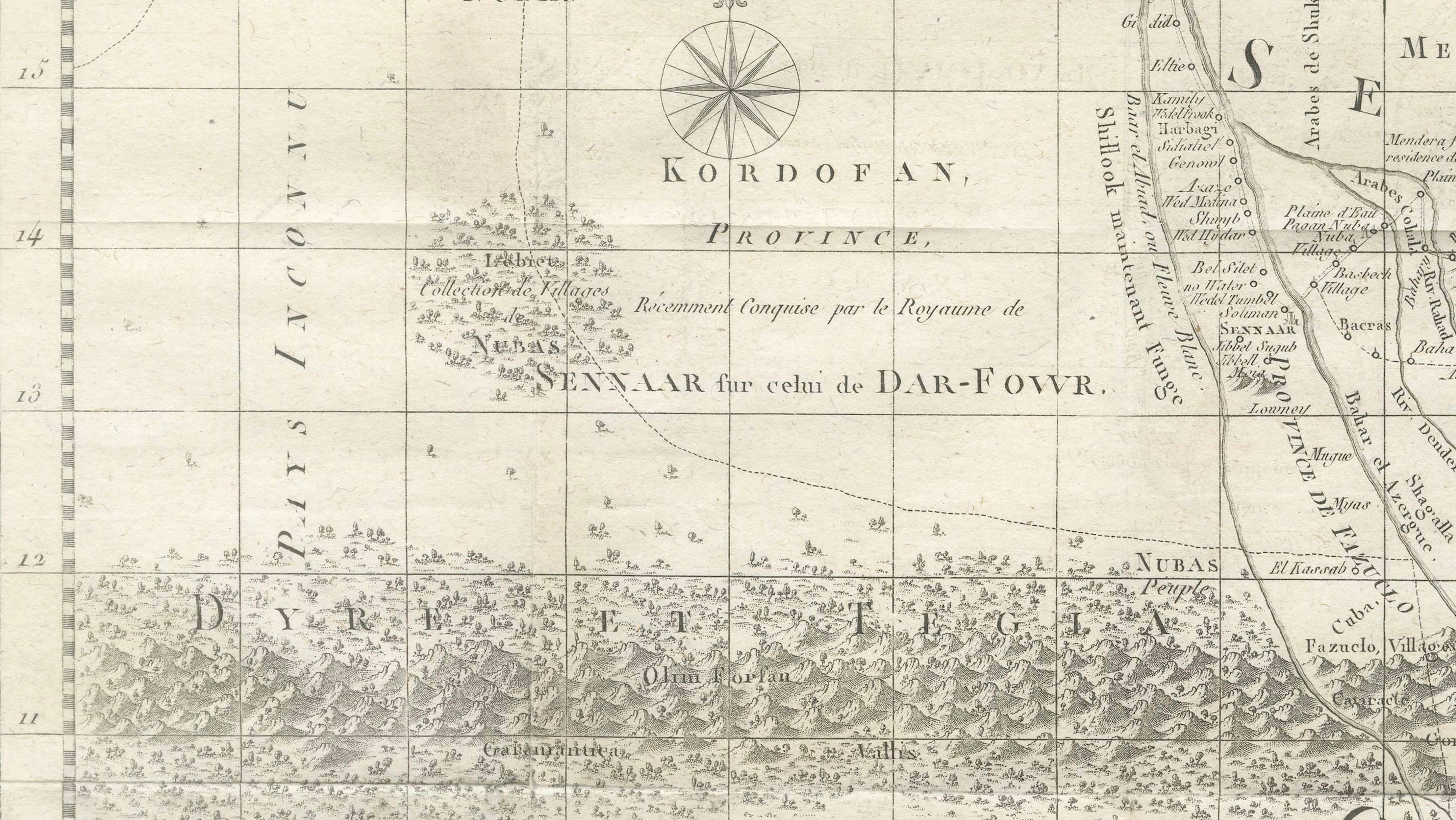
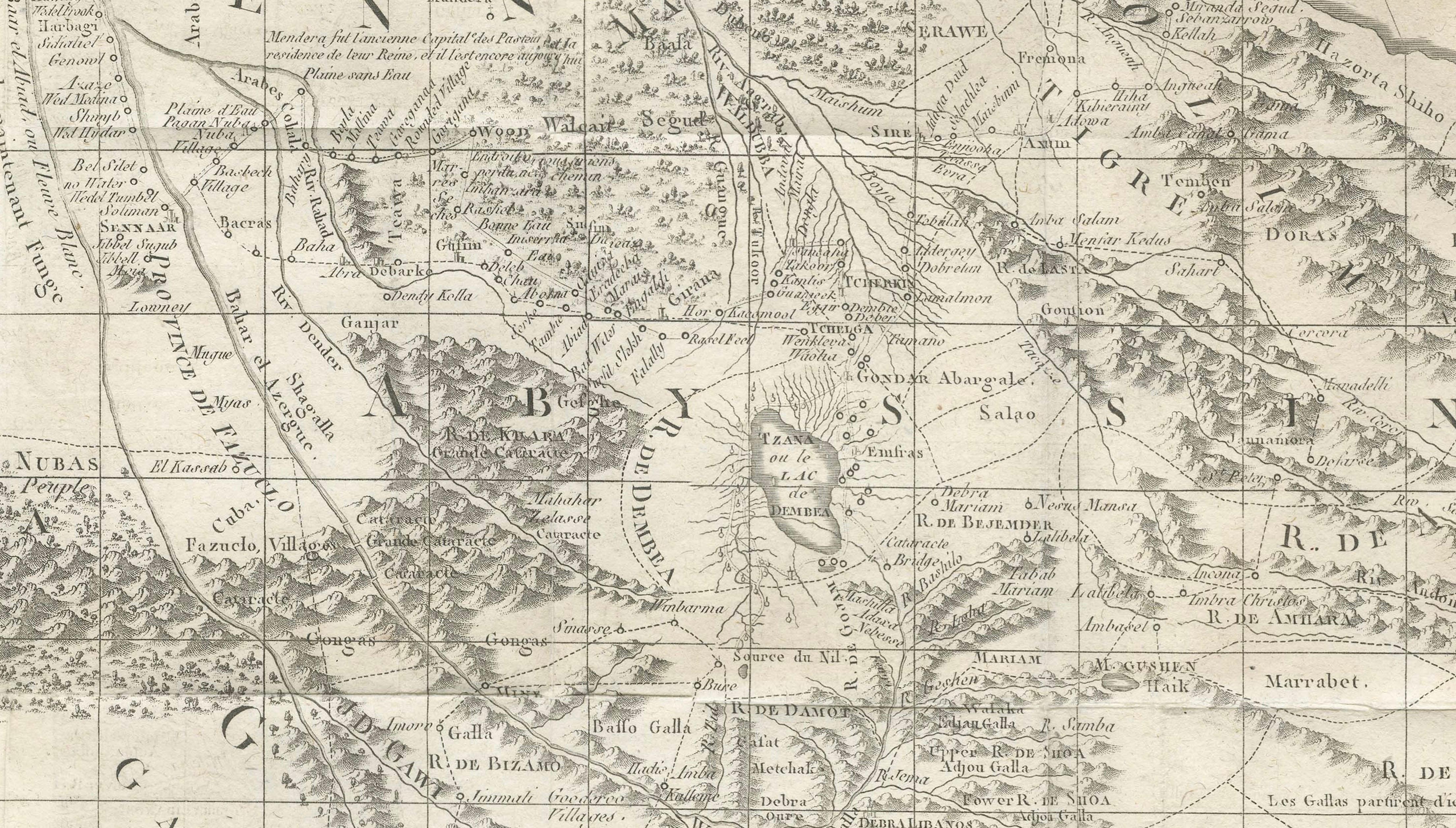
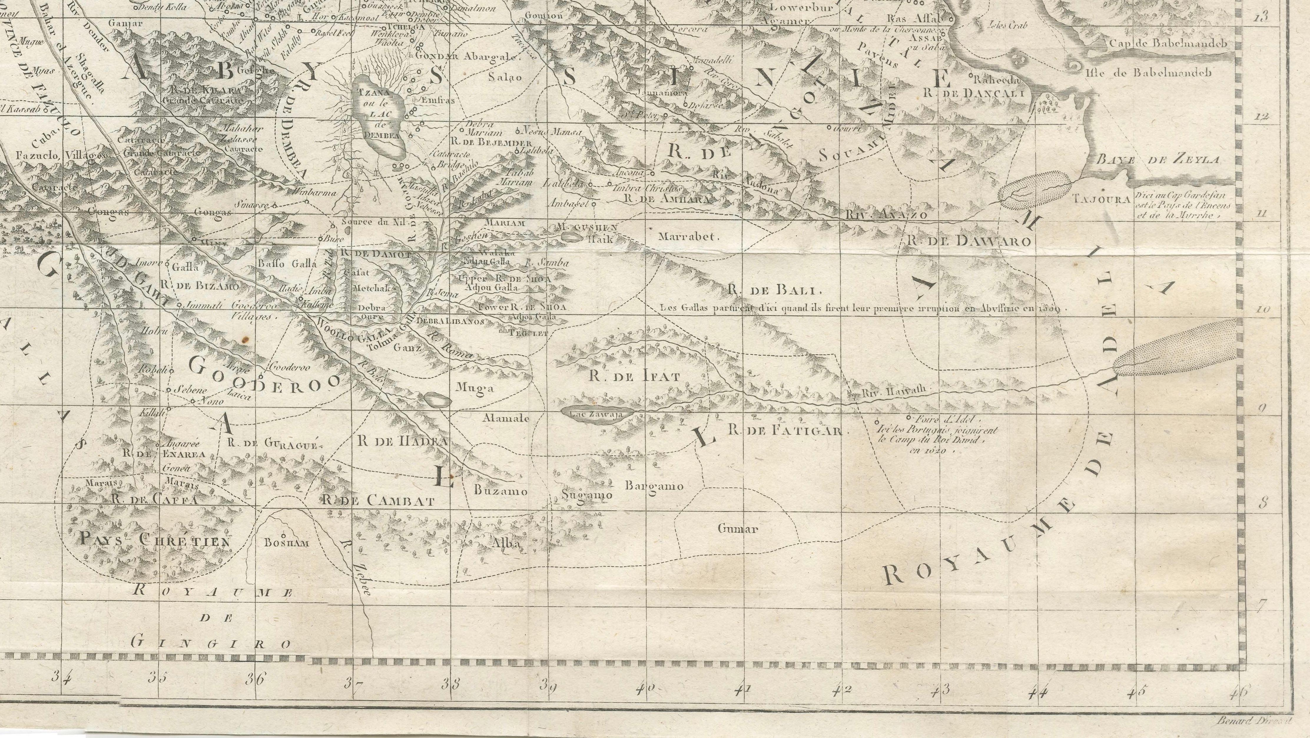
A highly important and finely engraved map titled “Carte du Golfe d’Arabie,” created by the Scottish explorer James Bruce and published circa 1790 as part of his monumental work Travels to Discover the Source of the Nile. This map documents one of the most celebrated exploratory journeys of the 18th century and represents a significant milestone in European understanding of Northeast Africa and the Red Sea region.
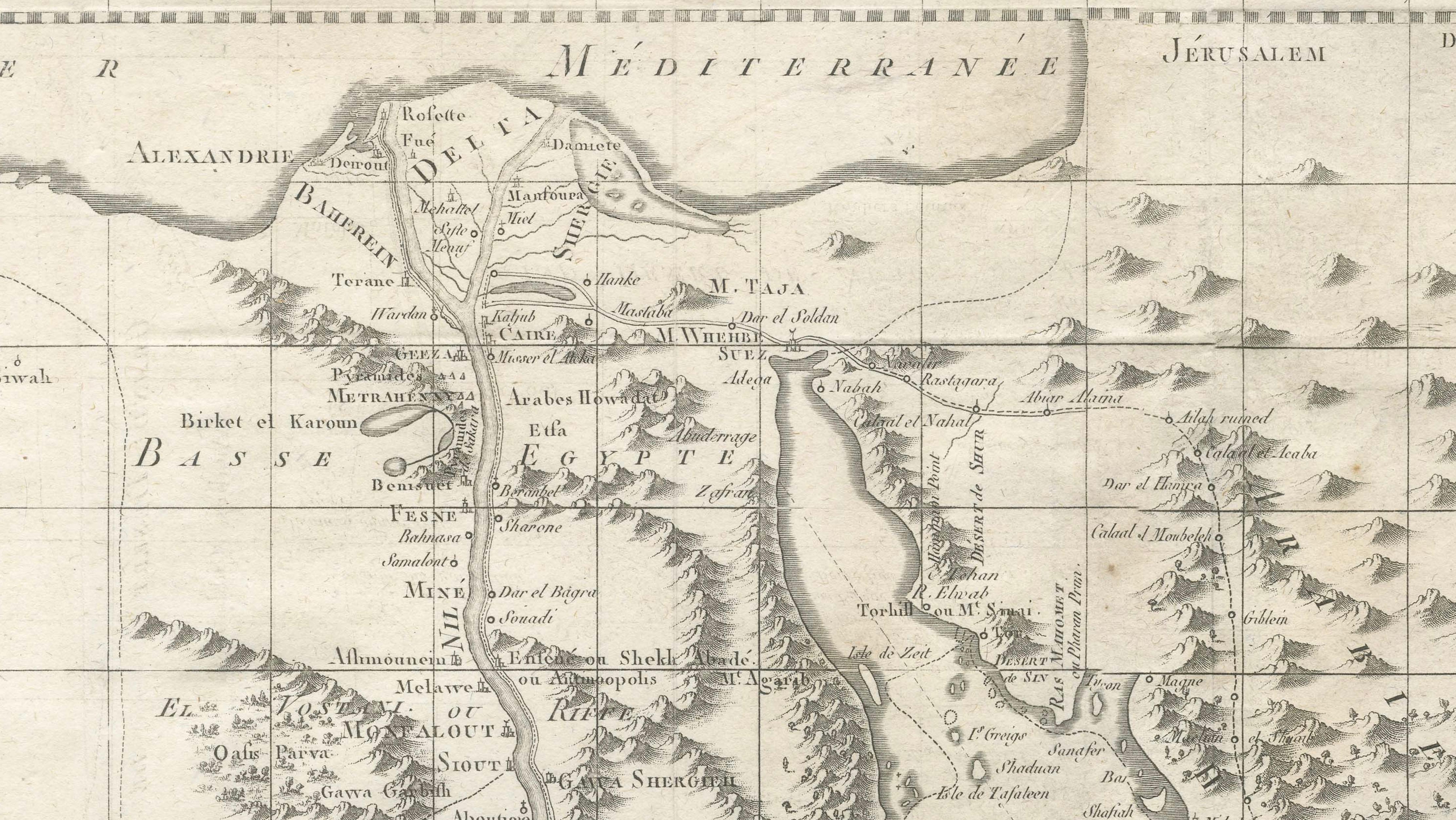
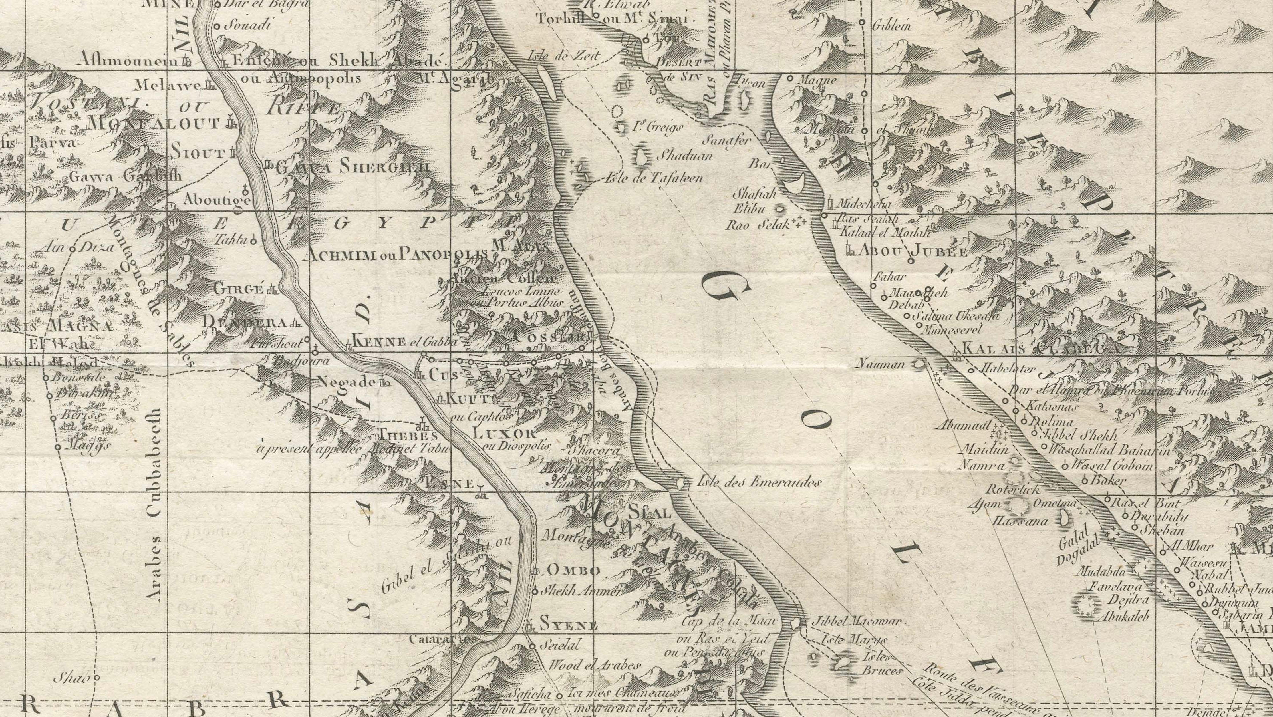
The composition covers a vast geographic area stretching from the Mediterranean and Egypt down through Nubia and Abyssinia (modern Ethiopia), and across the Red Sea to the Arabian Peninsula. The Nile River system forms the central axis of the map, carefully traced southward in Bruce’s attempt to identify the origins of the Blue Nile. His expedition route is plotted in detail, providing a rare visual record of exploration at a time when much of the interior remained largely unknown to European cartographers.
The map is rich in topographical and geographical detail, showing mountain ranges, deserts, settlements, and river systems with remarkable precision for its time. Notable features include the “Grand Desert de Nubie,” the Kingdom of Abyssinia, and the coastal outlines of the Red Sea with navigational notes. Several inset maps depict important harbors and coastal areas encountered during Bruce’s journey, enhancing both the scientific and narrative value of the piece.
James Bruce (1730–1794) was among the first Europeans to travel extensively in Ethiopia and to document the Blue Nile’s source. His work combined empirical observation with adventurous travel, and this map stands as a testament to that achievement. It bridges the gap between exploration and cartography, offering both a scientific document and a compelling historical narrative.
The engraving itself is executed with clarity and refinement, characteristic of late 18th-century cartographic production. Its large scale and detailed content make it especially suitable as a focal point in an interior, appealing equally to collectors of exploration history and decorative antique maps.
This is an original 18th-century engraving, not a reproduction. All items we offer are authentic period works of art over 100 years old. The print is sold unframed; any framed images are shown for presentation and interior inspiration only and not always on scale in the visual presentation.
Condition: Good condition with age-related toning and light surface wear. Fold lines as issued. Minor spotting and handling marks, consistent with age. Margins intact and the engraving remains clear and well preserved.
Framing tips: Best displayed in a substantial dark walnut or ebonized frame with a wide ivory mat to balance its large format. Ideal as a statement piece above a desk or console, particularly when highlighted with soft directional lighting.
Technique: Copper engraving
Maker: James Bruce, London, circa 1790
Keywords: Nile Egypt Abyssinia Ethiopia Sudan Nubia Red Sea Arabian Peninsula Bab el Mandeb Alexandria Cairo Luxor Meroe Blue Nile exploration map James Bruce Africa 18th century map Red Sea chart Ethiopia Nile source exploration antique map Middle East Africa cartography desert Nubia kingdom Abyssinia map historic exploration map copper engraving Nile river route travel map