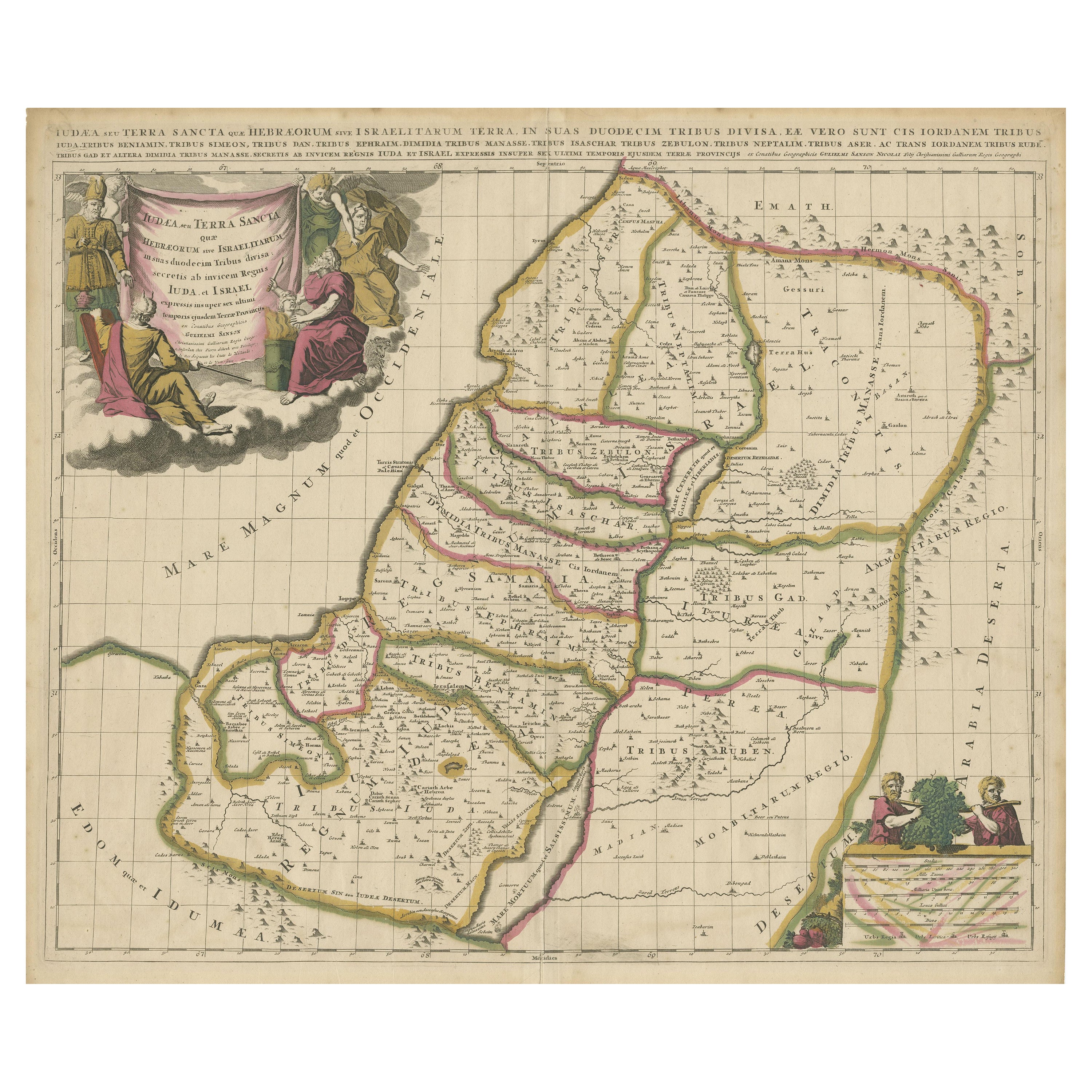
Antique Map of the Holy Land, Showing the Location of the Various Tribes
€ 1 200
One of a kind: this is the sheet in the photographs. Ships from Langweer, the Netherlands.
Sheet size
52 × 60.5 cm (20.5 × 23.8 in)
Condition
Fair
Reference
BG-13323-2
Condition
Original/contemporary hand coloring. Original folding line. Shows some wear and soiling. Few defects along green outline coloring. Blank verso. Pieces of tape on verso. Please study image carefully.
About this sheet

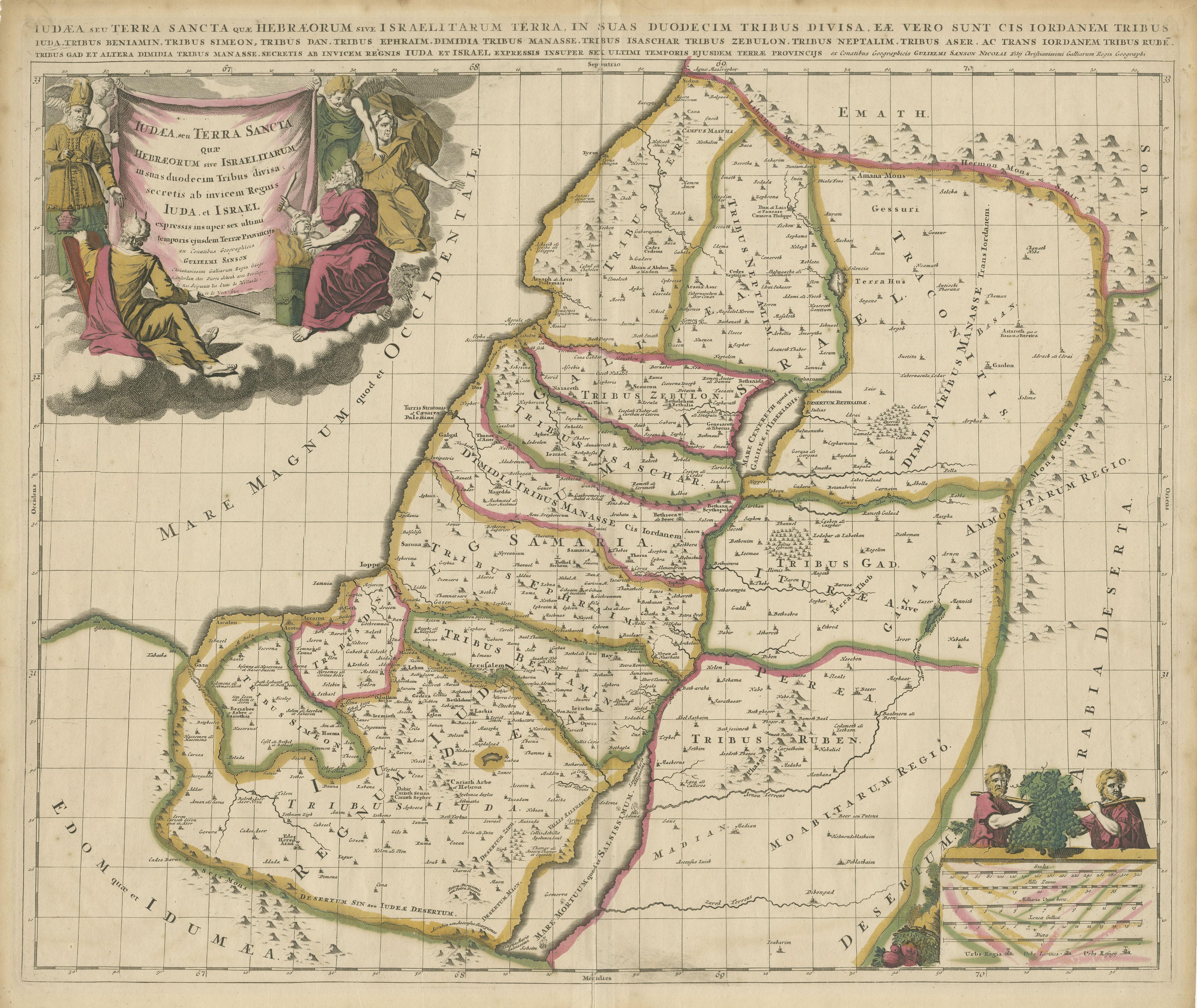
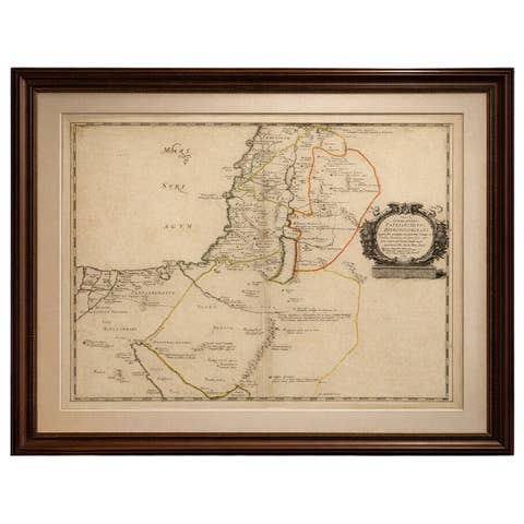
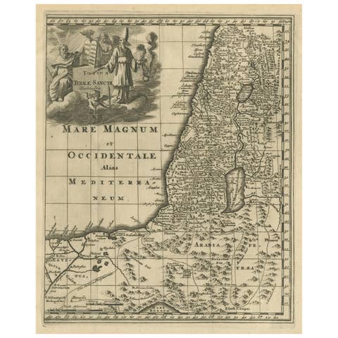
Antique map titled 'Judaea seu Terra Sancta quae Hebraeorum sive Israelitarum (..)'. Map of The Holy Land, showing the location of the various tribes, in two kingdoms, Judah and Israel as well as in six provinces. Shows Palestine on both sides of the Jordan, the shore line running from Sidon to Gaza. An extensive title added along the top. The cartouche in the upper left is surrounded by three men, the upper left Moses. Abraham readying himself to sacrifice his son, Isaac, on the right side, and Aaron, the High Priest, on the left side. In the bottom right hand corner, an illustration showing the two spies of Moses carrying the oversized bunch of grapes.
Artist: Nicolas Sanson. Published circa 1700. Nicolas Sanson (20 December 1600 – 7 July 1667) was a French cartographer who served under two kings in matters of geography. He has been called the "father of French cartography.