About this sheet
Arabia, Antique Map of the Arabian Peninsula, Blackie Atlas 1860
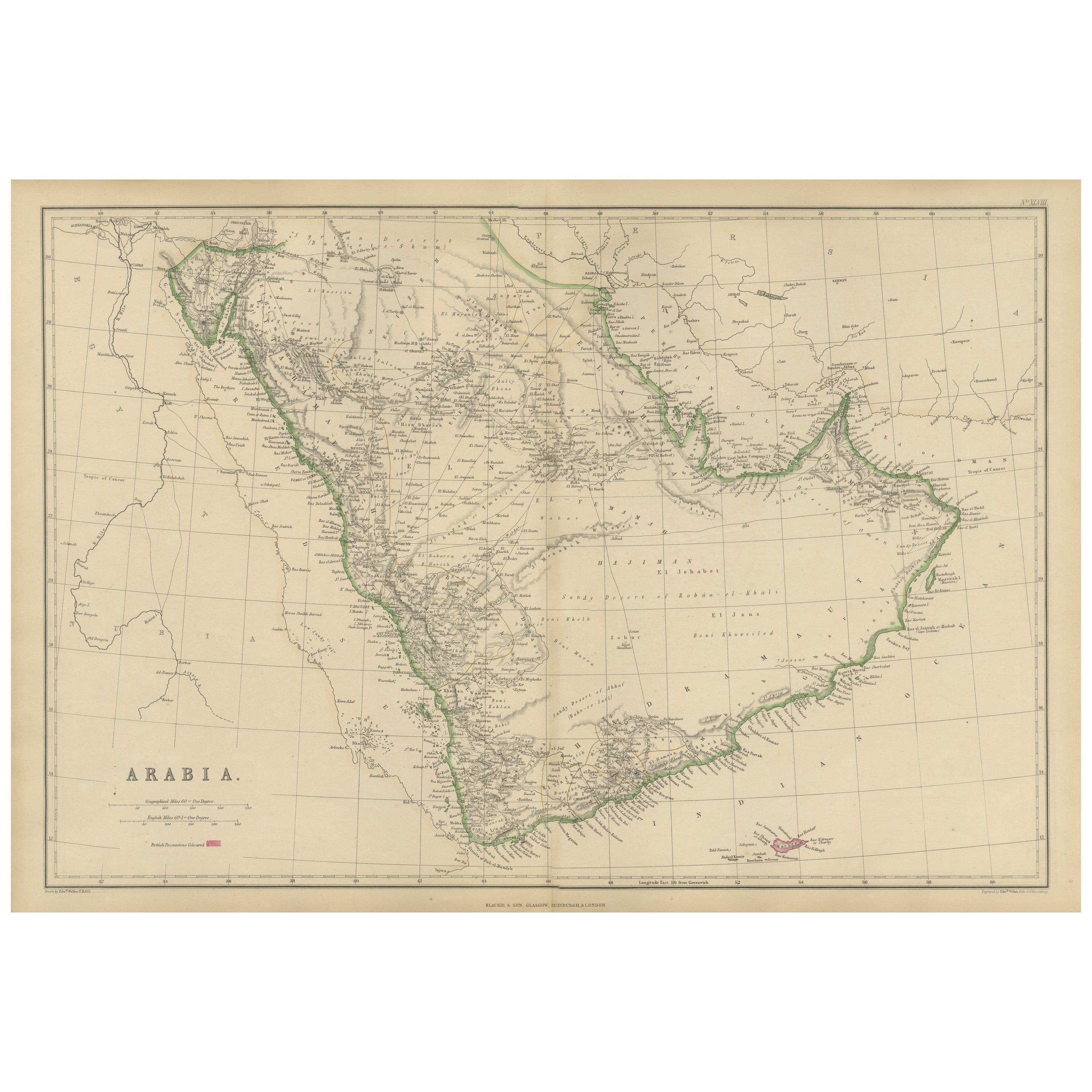
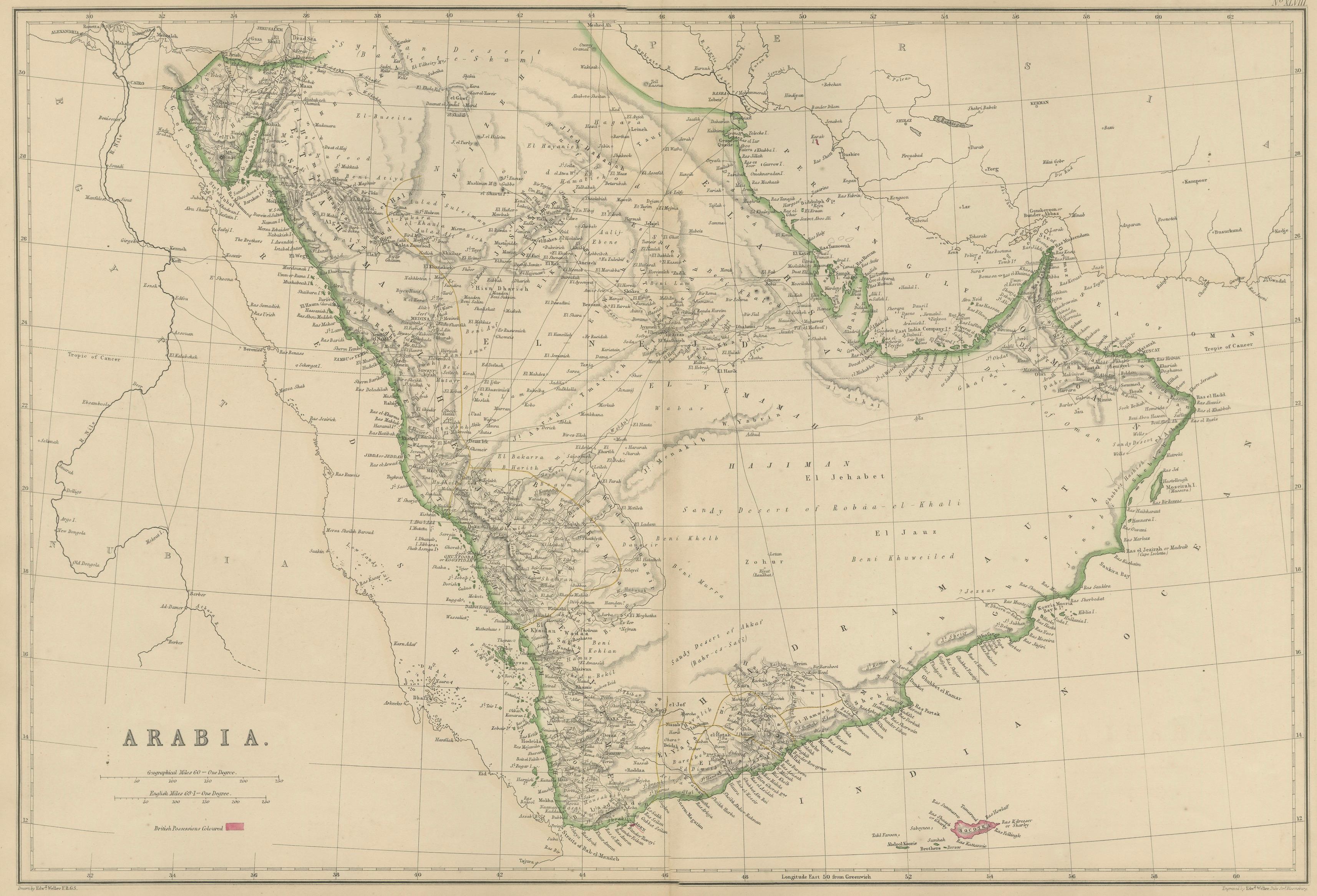
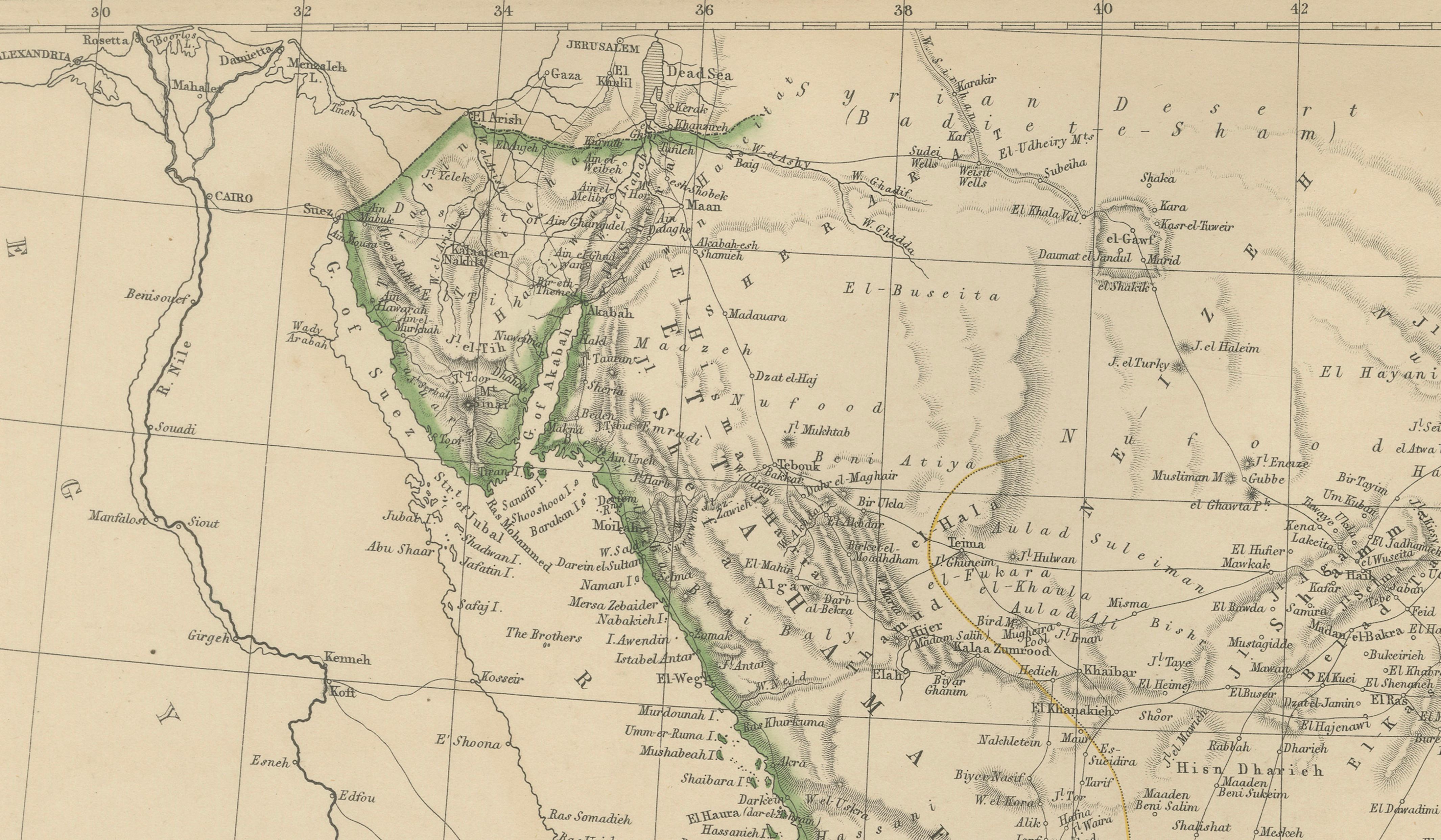
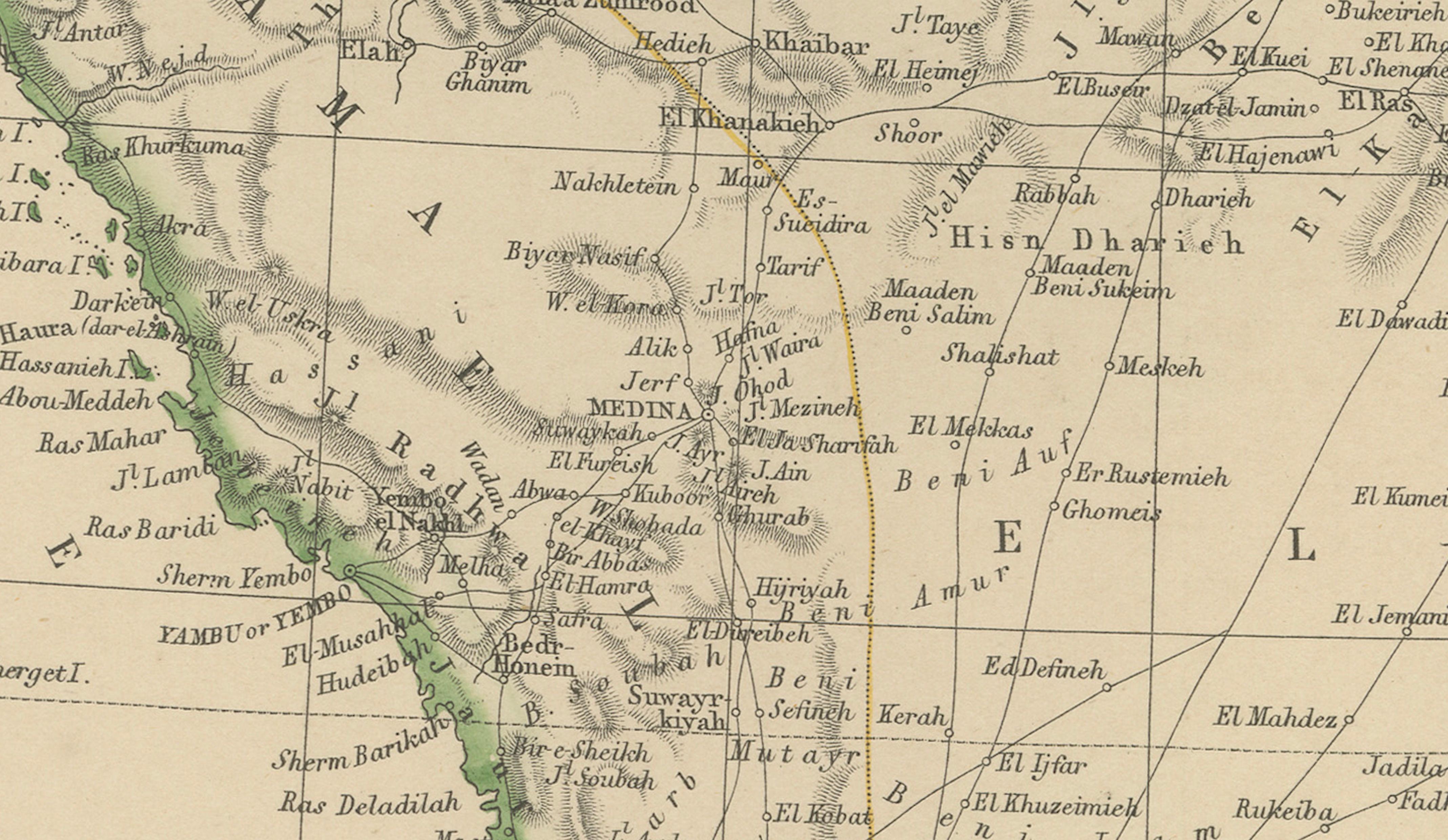
This original antique map titled Arabia presents a detailed mid-19th-century cartographic view of the Arabian Peninsula. The map originates from The Imperial Atlas of Modern Geography and was published in 1860 by W. G. Blackie, one of the most respected British atlas publishers of the Victorian period.
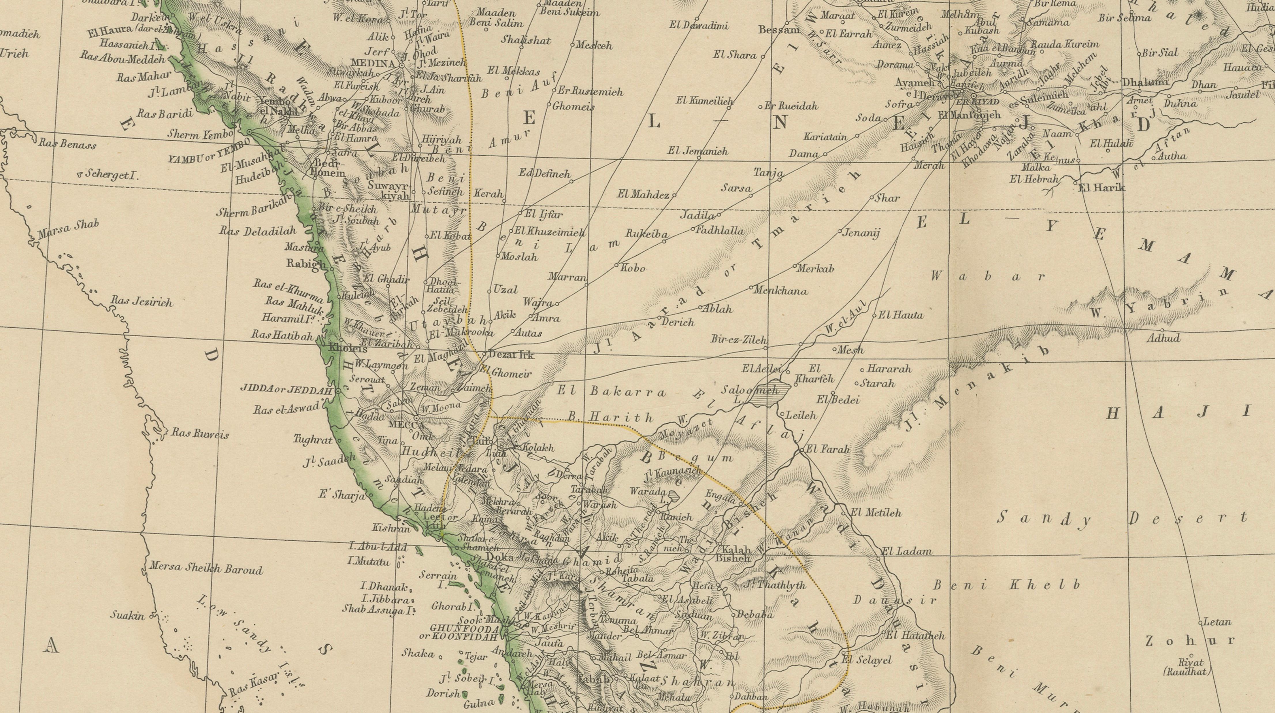
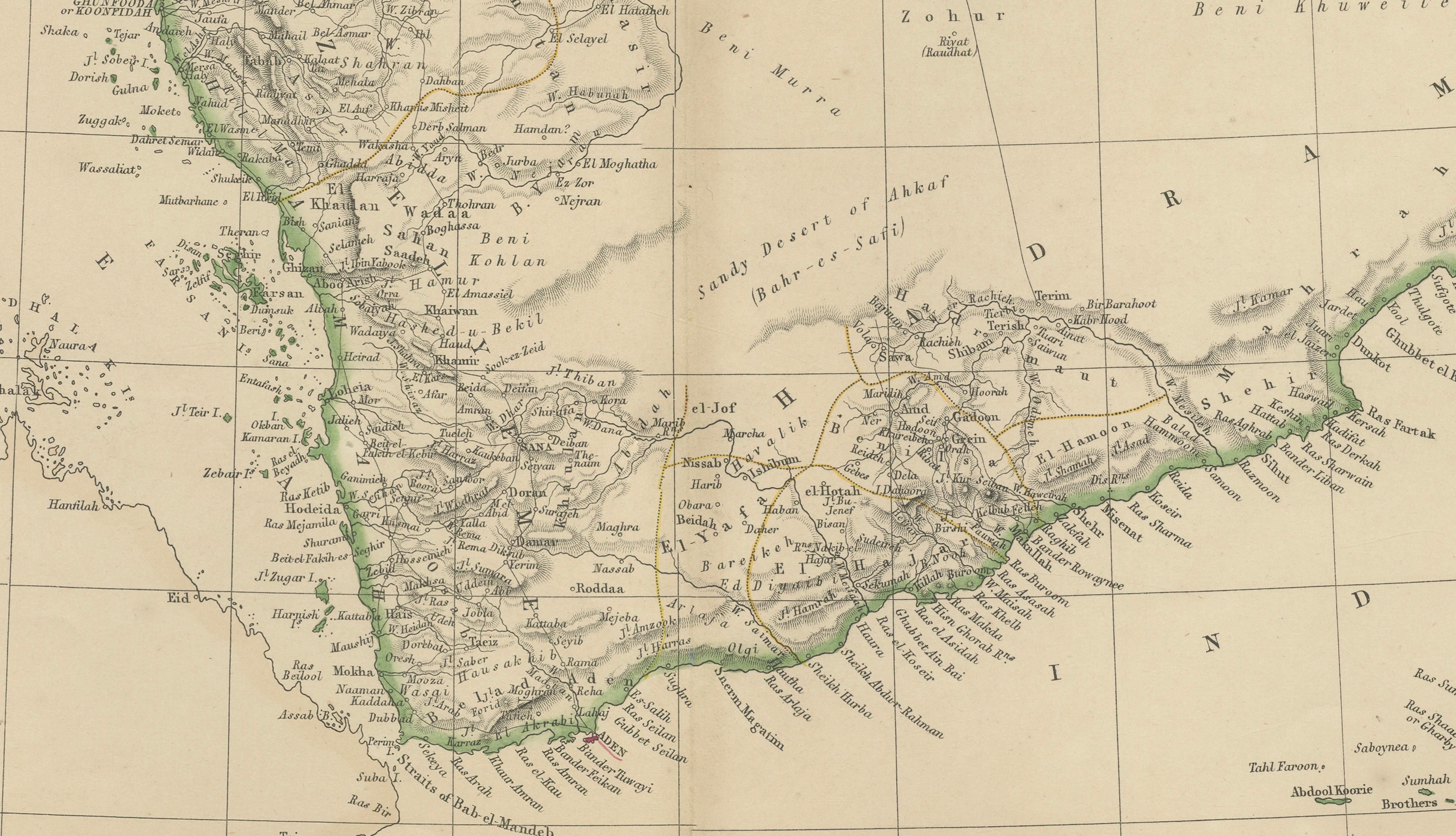
The map covers the full extent of Arabia, including the Red Sea coast, the Persian Gulf, and the Arabian Sea, with coastlines clearly defined in original hand coloring. The interior is densely engraved with deserts, mountain ranges, caravan routes, oases, and regional divisions, reflecting European geographic knowledge of the peninsula prior to large-scale modern exploration. Major regions such as Hejaz, Nejd, Yemen, Oman, and Hadramaut are clearly labeled, along with numerous historic towns and trading centers.
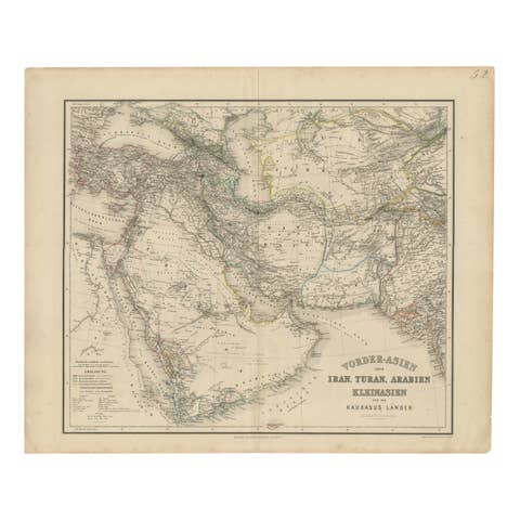
Important pilgrimage and trade routes are shown, particularly those connecting Mecca and Medina with the wider Islamic world. Coastal ports along the Red Sea and Indian Ocean highlight Arabia’s long-standing role in maritime trade between Africa, Asia, and Europe. The map also illustrates surrounding regions including parts of Mesopotamia, Persia, and the Horn of Africa, situating Arabia within a broader geopolitical and commercial context.
The composition balances dense interior detail with open desert and sea areas, giving the map both scholarly clarity and strong decorative presence. Its large horizontal format, refined engraving, and subtle original coloring make it appealing to collectors of Middle Eastern and Islamic cartography as well as to interior designers seeking a historically grounded wall map with architectural impact.
Condition report:
Good antique condition. Light overall age toning consistent with age. Minor scattered foxing and light handling marks, mostly confined to the margins. Original central fold as issued. No major tears or losses.
Framing tips:
A wide ivory or warm cream mat will enhance the fine engraving and soft hand coloring. A dark walnut, black, or understated antique gilt frame complements the map’s academic and exploratory character. Museum or UV-protective glass is recommended.
Technique: Copper engraving with original hand coloring
Maker: W. G. Blackie, Scotland, 1860
Keywords:
Arabia map, Arabian Peninsula map, antique Arabia map, Middle East map, Arabia 19th century, Hejaz, Nejd, Yemen, Oman, Hadramaut, Asir, Rub al Khali, Empty Quarter, Arabian Desert, Red Sea coast, Persian Gulf, Arabian Sea, Gulf of Aden, Mecca, Medina, Jeddah, Muscat, Aden, Sana’a, caravan routes, pilgrimage routes, Hajj routes, oases Arabia, desert cartography, Islamic world map, Ottoman Arabia, British imperial cartography, trade routes, spice trade routes, maritime trade Arabia, Indian Ocean trade, coastal ports Arabia, Bedouin regions, tribal territories, Middle Eastern geography, historical Arabia, colonial era mapping, European cartography, Victorian atlas, Blackie atlas, Imperial Atlas, copper engraved map, hand colored map, historical cartography, exploration era, antique wall map, interior design art, collector map, educational atlas, 1860 map