
Maps & PrintsBartele Gallery · Langweer
Home / Antique Maps / Asia / West Asia & the Holy Land

West Asia & the Holy Land

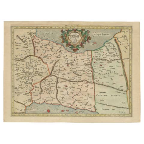
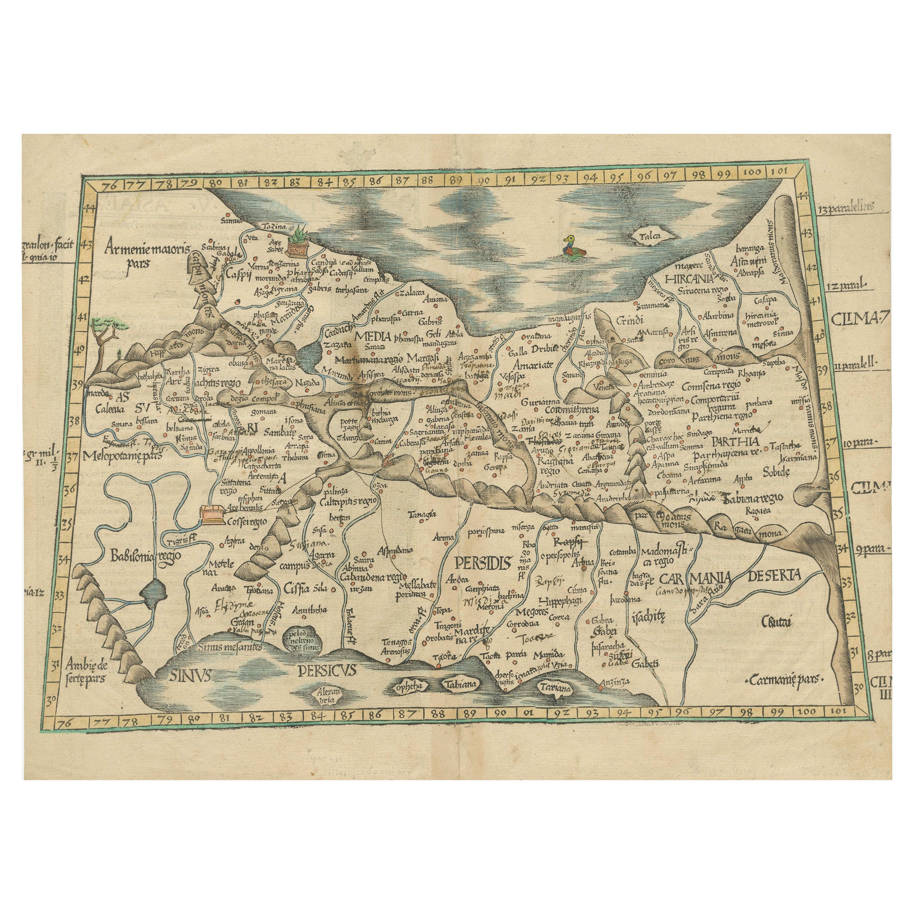
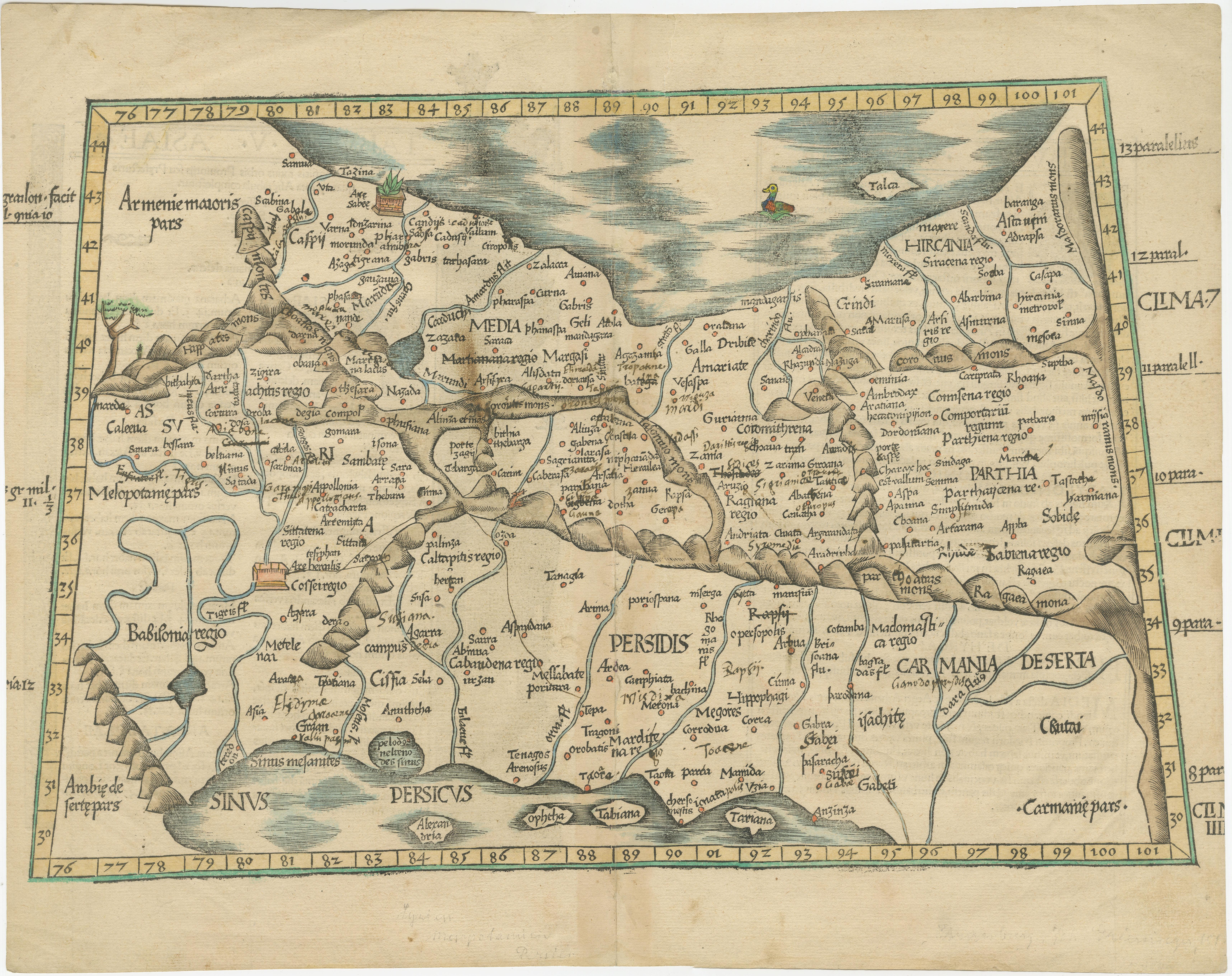
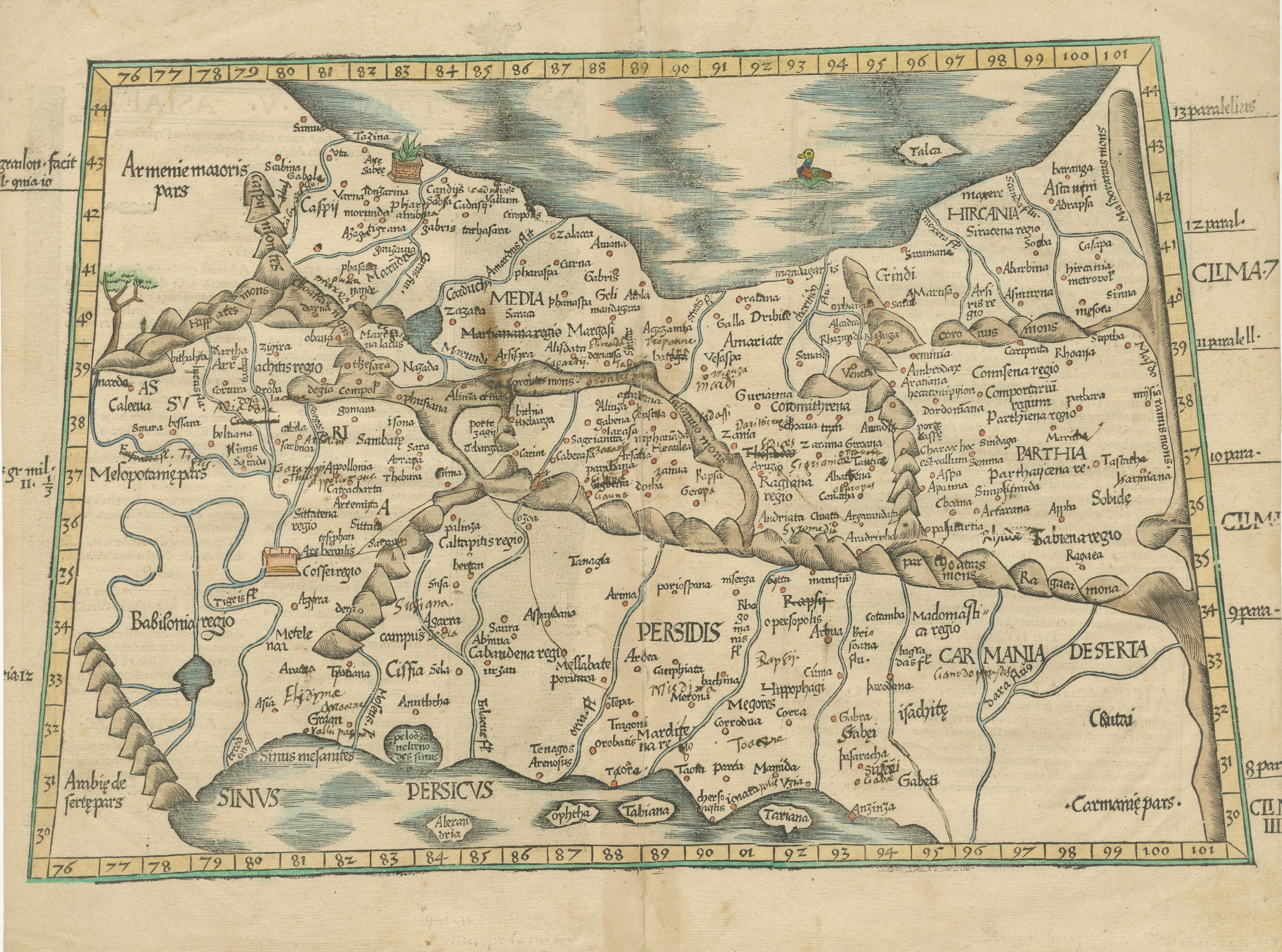
Original Antique Woodcut Map of Persia

€ 590

One of a kind: this is the sheet in the photographs. Ships from Langweer, the Netherlands.

Sheet size
38 × 48.3 cm (15.0 × 19.0 in)
Condition
Fair
Reference
BG-13425

Condition

Repaired: Repairs on and next to folding line. Age-related toning. Shows wear and soiling. Repairs on and next to folding line. Vertical tear in top margin (next to folding line), sl. affecting image. Latin text on verso. Please study image carefully.
About this sheet

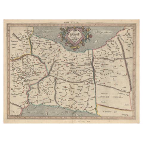
Antique map titled 'Tabula V Asiae'. Important early woodcut map of Persia, depicting the area of Mesopotamia, Armenia and the Gulf, to the Caspian and Carmania (Iran). Includes names of places and natural features. In margins: climatic and latitudinal notes. Descriptive text within ornamental borders on verso.

This map originates from 'Claudii Ptolemaei Geograhicae' by Claudius Ptolemy (Latin: Ptolemaeus).

More from West Asia & the Holy Land

Ask about this sheet

Original Antique Woodcut Map of Persia
Ref. BG-13425 · € 590
We reply by email, usually within one working day.