About this sheet
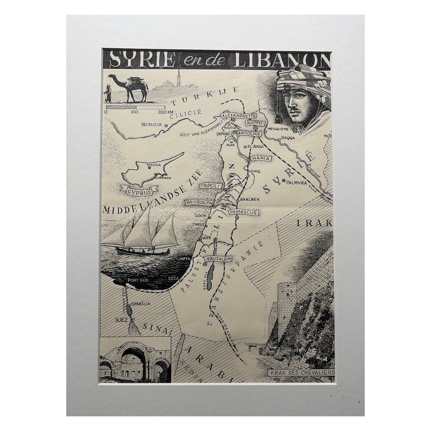
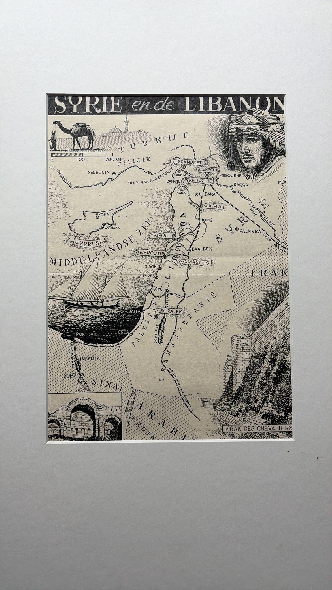
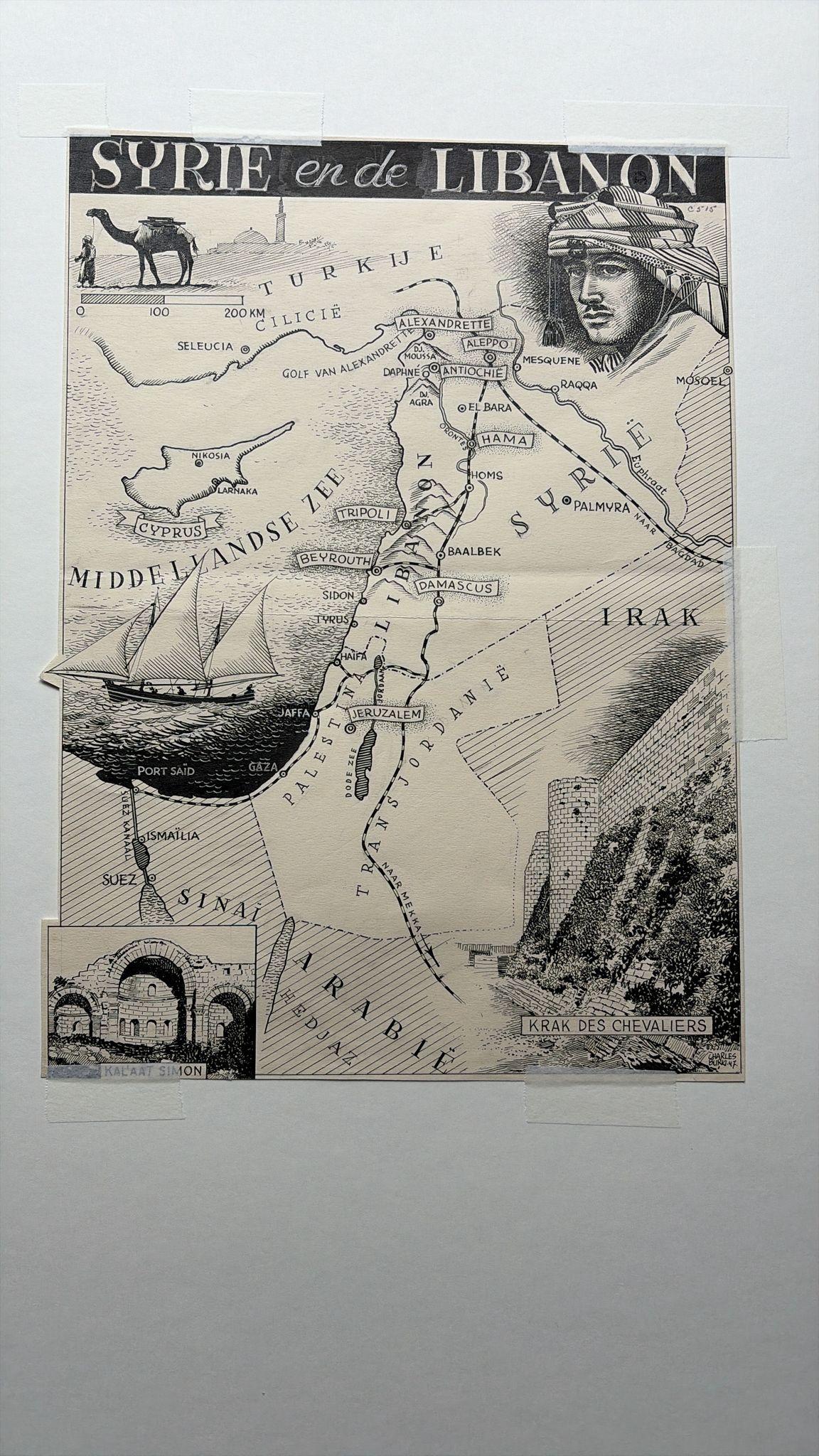
Original Illustration Map of Syria and Lebanon by Charles Burki, 1947 – Ink Drawing
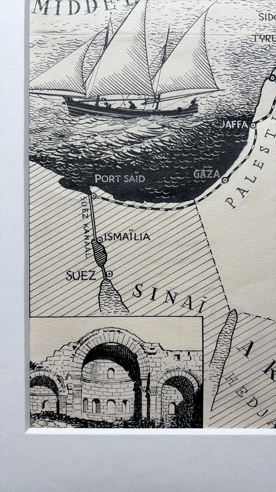
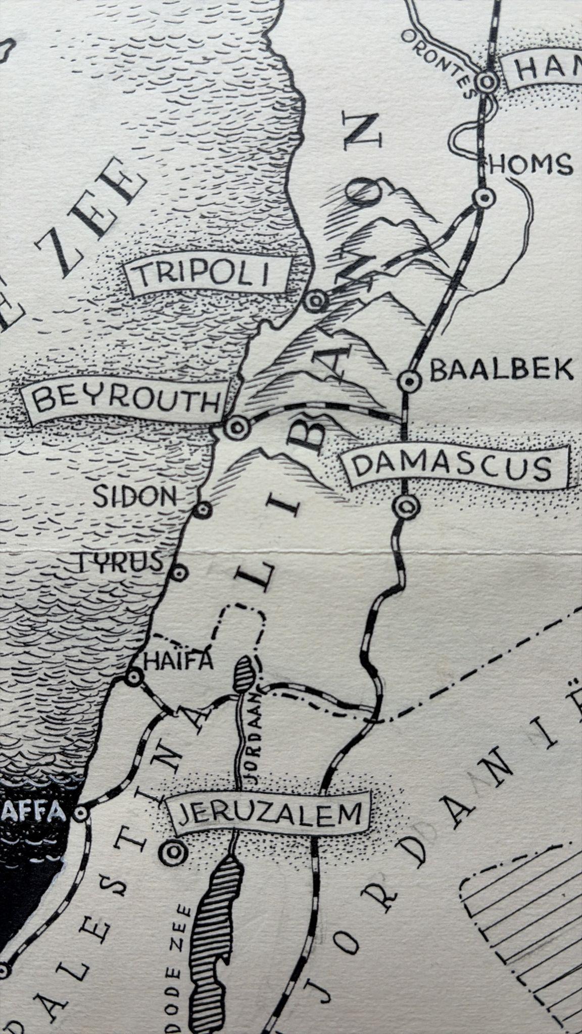
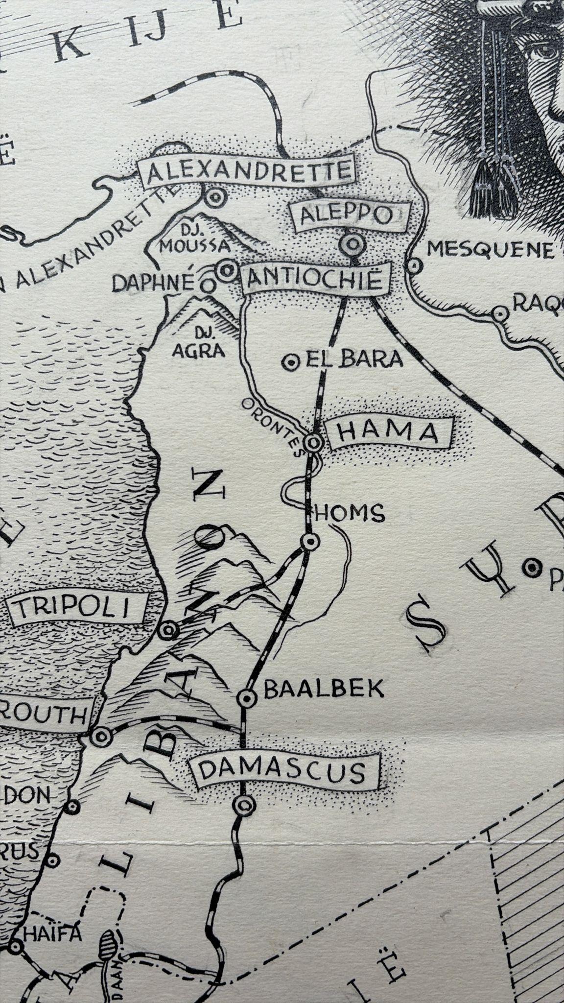
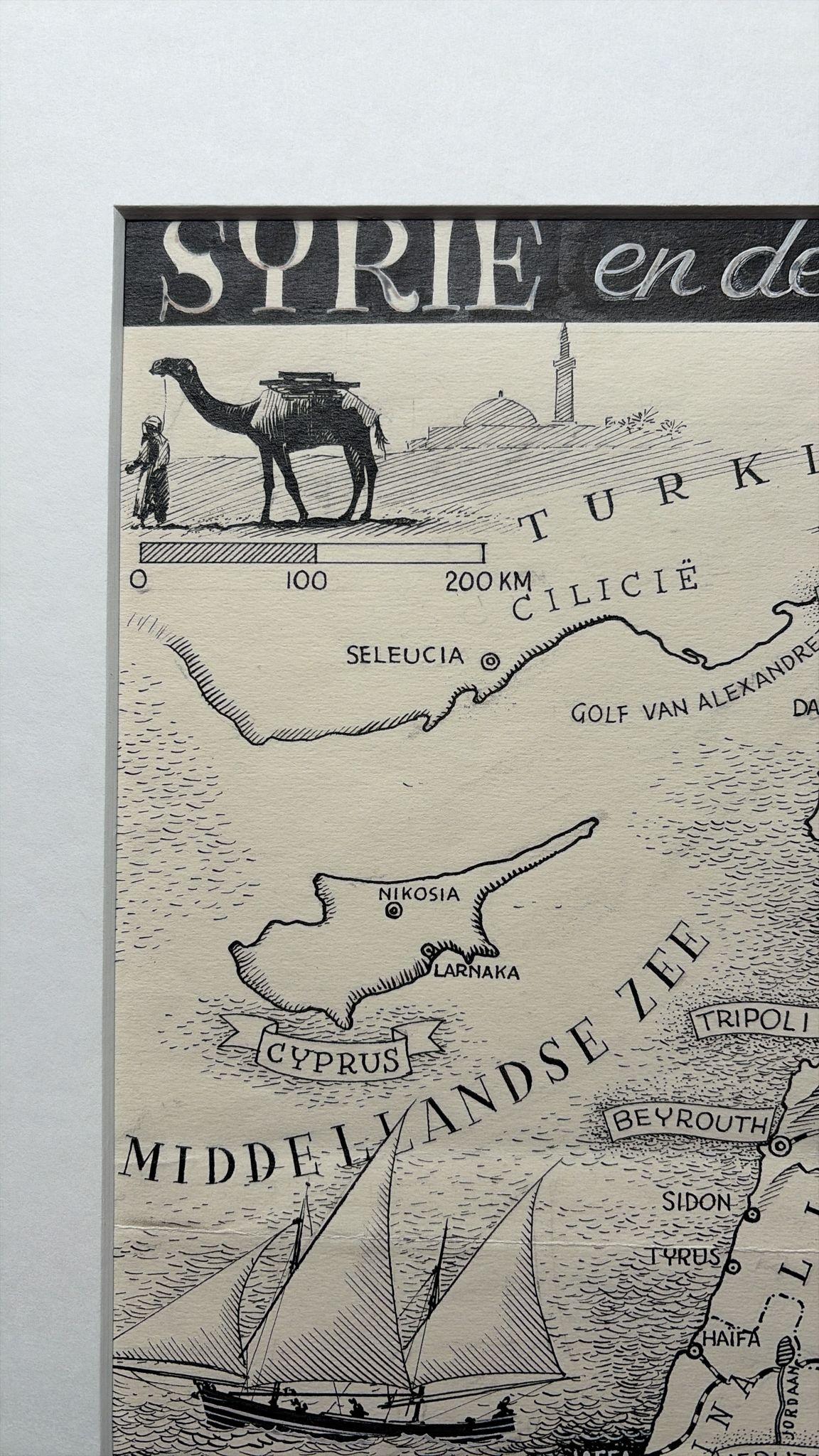
Original 1947 pen-and-ink illustration of “Syrie en de Libanon” (Syria and Lebanon) by Dutch artist Charles Burki (1909–1994). This detailed and beautifully composed map combines geographical accuracy with Burki’s refined illustrative sensibility, showcasing his hallmark precision and mid-century graphic style.
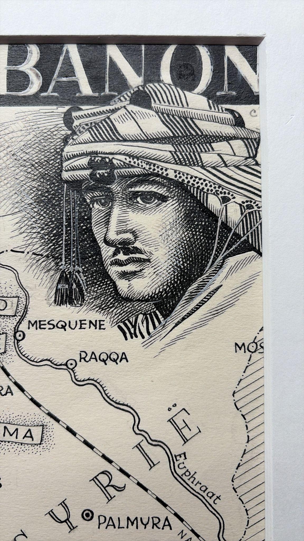
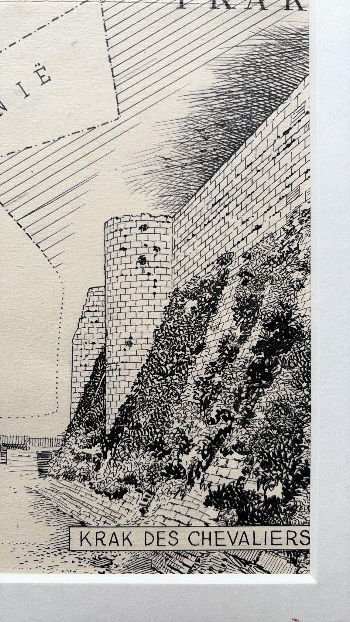
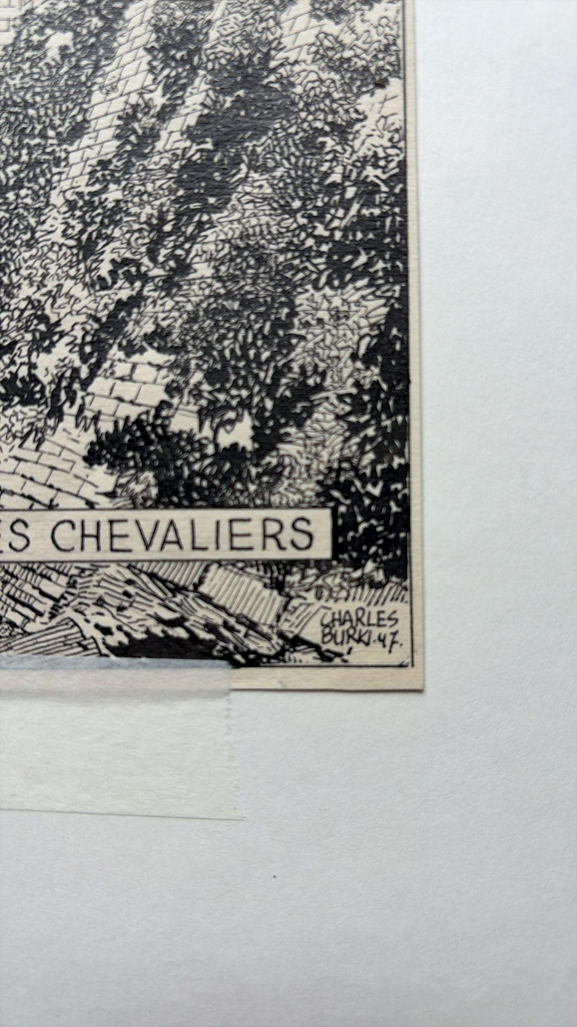
The artwork covers the eastern Mediterranean region from Cyprus to the Syrian desert, including Lebanon, Palestine, Transjordan, and Iraq. Cities such as Damascus, Beirut, Tripoli, Aleppo, Jerusalem, and Palmyra are meticulously rendered. Decorative vignettes enrich the map: a camel and mosque silhouette evoke the Near Eastern landscape; a sailing vessel glides across the Mediterranean; and inset scenes depict historical landmarks including Krak des Chevaliers and the ruins of Kal’at Simon. In the upper right, a portrait of an Arab man in traditional headdress adds a strong human presence, a recurring theme in Burki’s postwar work.
Burki’s architectural training is evident in the clean linework, careful hatching, and balanced use of white and black space. His ability to unite cultural symbolism with geographic form made his illustrations highly sought after by Dutch publishers such as Uitgeverij Succes and Het Spectrum. Signed and dated “Charles Burki ’47” in the lower right corner, this work exemplifies his transition from colonial to global subjects following World War II.
A rare and sophisticated example of Burki’s map illustrations, blending fine draughtsmanship with historical narrative and visual clarity.
Biographical Note:
Charles Burki (1909–1994) was a Dutch painter and illustrator whose career bridged the colonial and post-war eras. Trained in architectural drafting, he moved to the Dutch East Indies in the 1930s and became known for posters and illustrations for local periodicals. During World War II he was imprisoned as a POW; during transport to Japan his ship was bombed and sunk. He survived ten hours at sea, endured imprisonment, and lived through the atomic bombing in Japan at 1,500 meters from impact—an ordeal that profoundly shaped his later art.
After the war Burki returned to the Netherlands, where he became one of the country’s leading illustrators, creating dynamic cover art and maps for Uitgeverij Succes, De Bezige Bij, Het Spectrum, and Kluitman. His precise draughtsmanship, cinematic realism, and restrained palette reflect both technical mastery and lived experience. Today his original gouache and ink boards are prized as rare examples of mid-century Dutch illustration and narrative art.
Condition report:
Very good original condition with strong, unfaded black ink on cream paper. Light central crease and minor handling traces consistent with age and production use. Image area clean and well preserved.
Framing tips:
Best presented in a black or dark walnut frame with an ivory or soft beige mat. A floating mount is recommended to showcase the border and signature.
Technique: Pen and ink on paper
Maker: Charles Burki, The Netherlands, 1947