Antique Maps of India & Ceylon
152 original sheets

Antique Map of Southern India by Andree, 1904
1904 · € 73
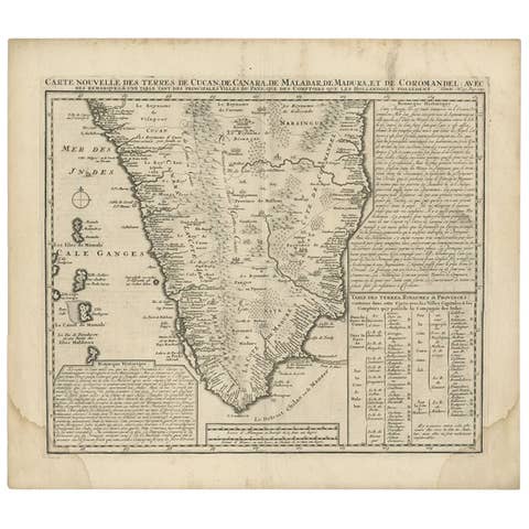
Antique Map of Southern India by Chatelain, c.1720
1720 · € 310
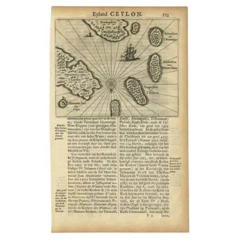
Antique Map of the Islands Near Ceylon by Baldaeus, 1672
1672 · € 125
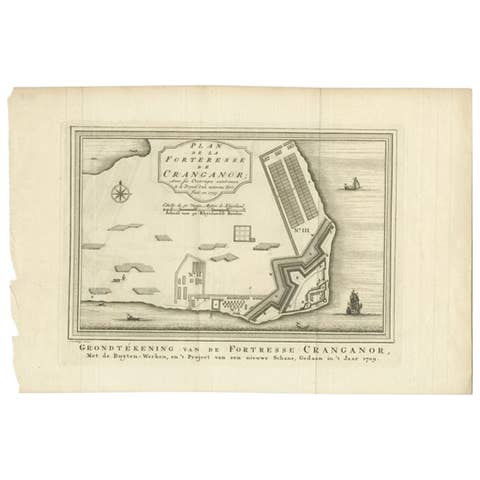
Antique Print of the Kodungallur Fortress by Van Schley, 1755
1755 · € 107

Antique Map of the Malabar Coast by Baldaeus, 1744
1744 · € 348
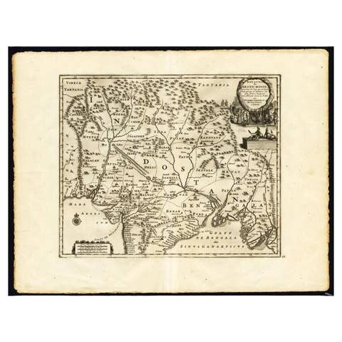
Antique Map of the Mughal Empire by Van der Aa, C.1725
1725 · € 660
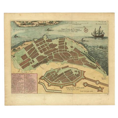
Very Attractive Handcolored Antique Plan of Cochin in India, 1744
1744 · € 840
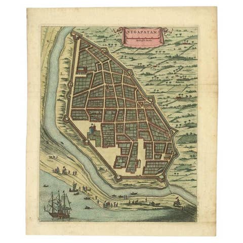
Attractive Hand-Colored Antique Plan of Nagapattinam in India, 1744
1744 · € 590
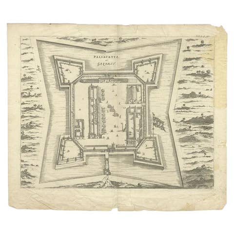
Antique Plan of Paliacatta or Pulicat in Tamil Nadu, on the Coromandel, India
€ 130
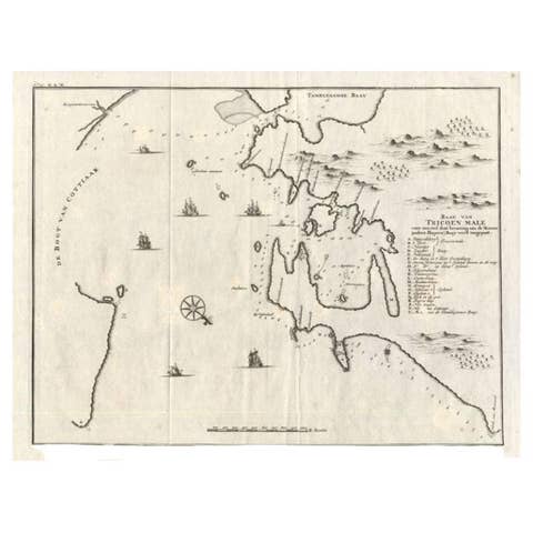
Antique Map of Trincomalee and Tambalagam Bay, 1758
1758 · € 180

Original Antique Map of Part of the Bahar Region (India), 1834
1834 · € 290
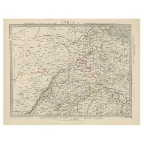
Antique Map of the Region of Delhi in India, 1833
1833 · € 400
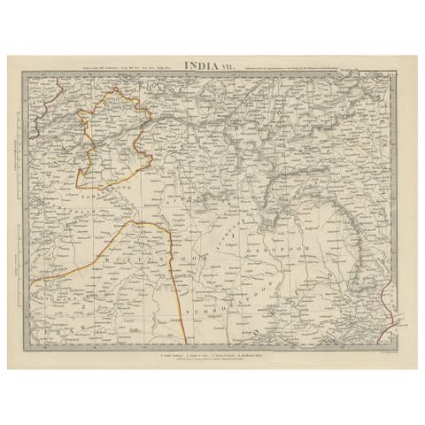
Antique Map of the Region of Berar and Rewah in India, 1832
1832 · € 290
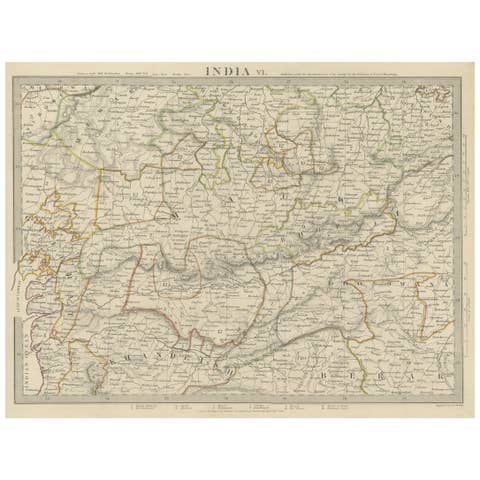
Detailed Antique Map of the Region of Malwa in India, 1833
1833 · € 290
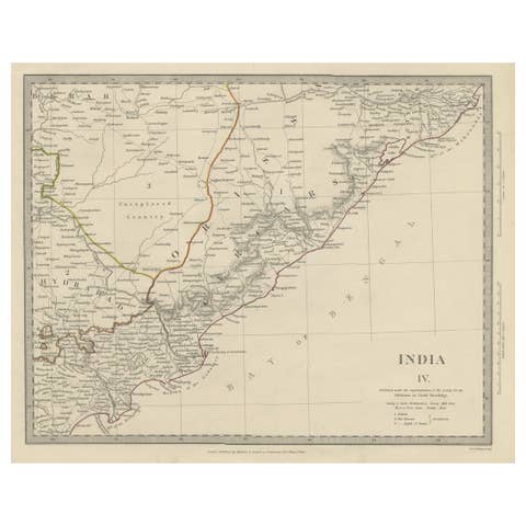
Interesting Detailed Antique Map of Eastern India, 1832
1832 · € 290
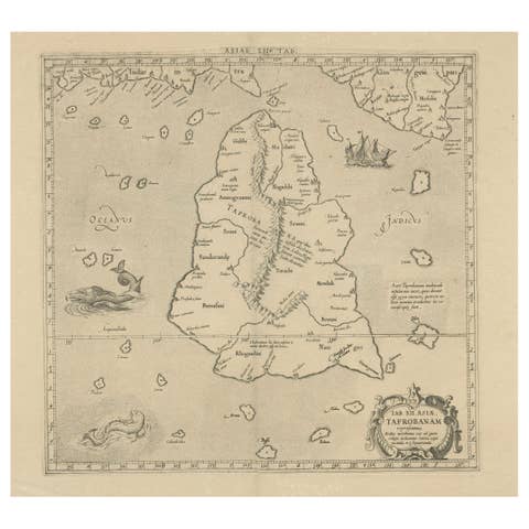
Rare Original Antique Ptolemy Map of Ceylon, Present Day Sri Lanka
€ 770
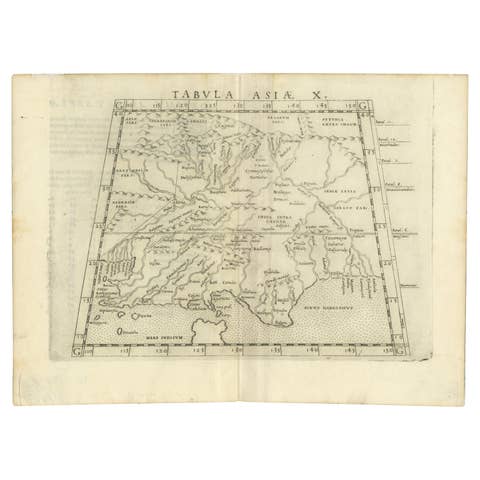
A Rare and Old Trapezoidal Projection of the Ganges and Himalaya Range in India
€ 640
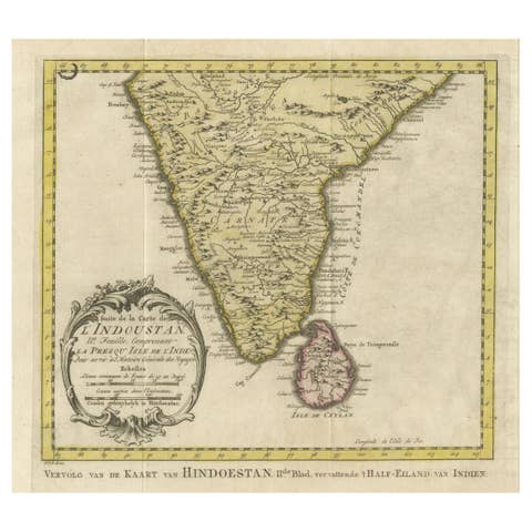
Original Antique Map of Southern India and Ceylon 'Present-Day Sri Lanka'
€ 840
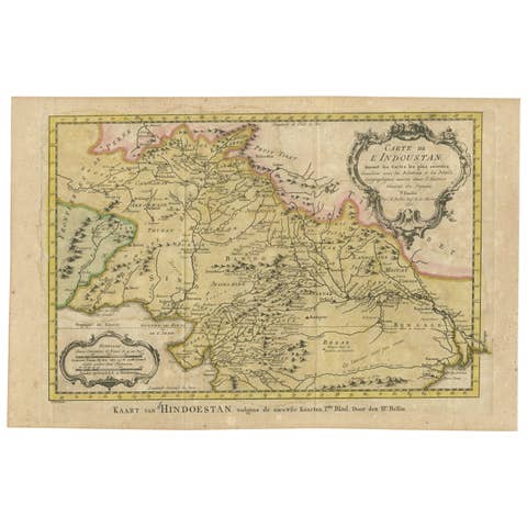
Original Antique Map of Northern India
€ 220
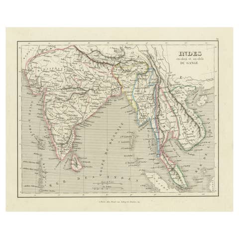
Antique Map of India to Southeast Asia
€ 190
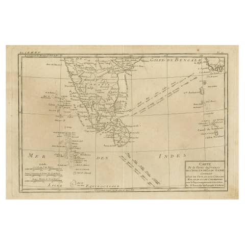
Antique Map of Southern India, Sri Lanka & Maldives with Ocean Currents, 1790
1790 · € 280
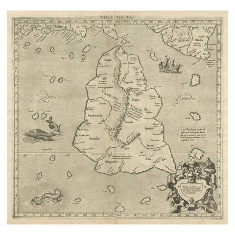
Mercator's Ptolemaic map of Taprobana, (Ceylon) Sri Lanka
€ 580
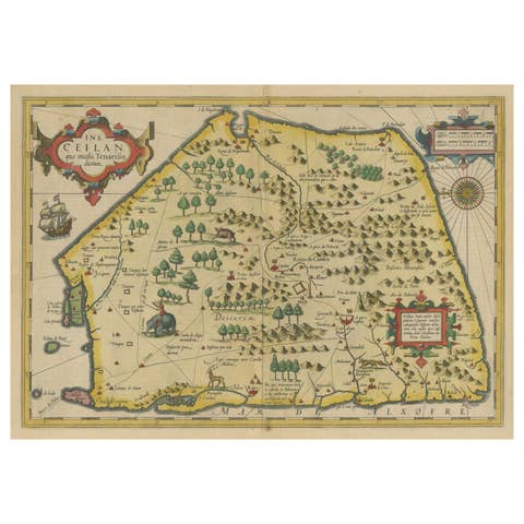
Antique Map of Sri Lanka with an unusual five-sided shape, circa 1606
1606 · € 640
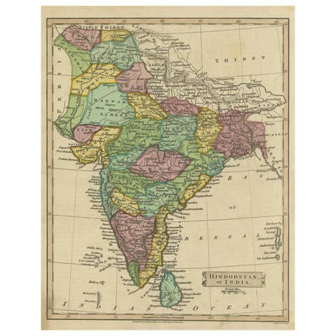
Antique Map of Hindustan, or India
€ 290
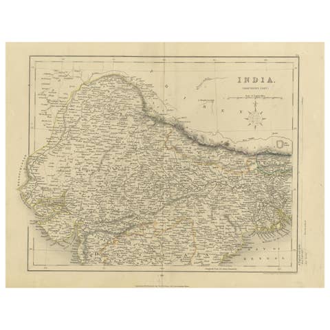
Original Antique Map of Northern India
€ 340
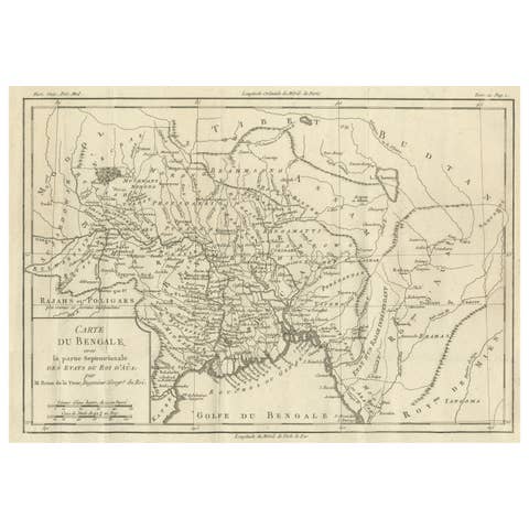
Antique Map of of Bengal and the mouth of the Ganges River
€ 360
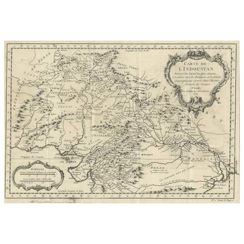
Antique Map of part of India, the Ganges and Hindustan
€ 330
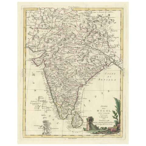
Antique Map of India and Ceylon, along with the Maldives
€ 540
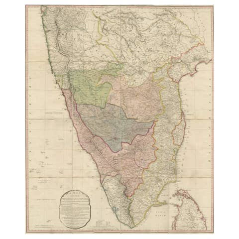
Original Antique Map of the Peninsula of India with Part of Ceylon by Wyld, 1844
1844 · € 1 200
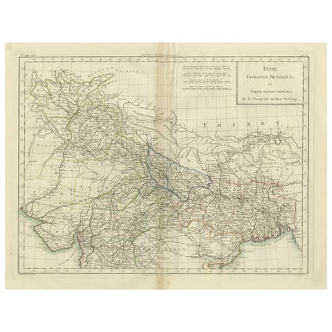
Antique Map of Northern India, Bengal, and Surrounding Regions by Tardieu, 1802
1802 · € 440
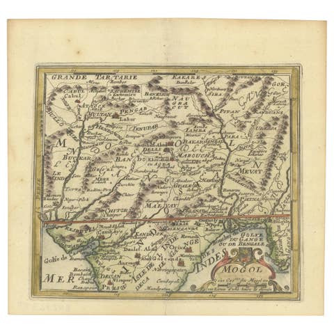
1692 Engraved Map: Detailed Mogul Empire, India to Afghanistan, Hand-Colored
1692 · € 490
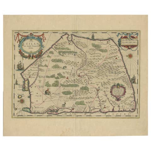
1638 Plancius Detailed Map of Sri Lanka or Ceylon with Decorative Cartouches
1638 · € 1 440
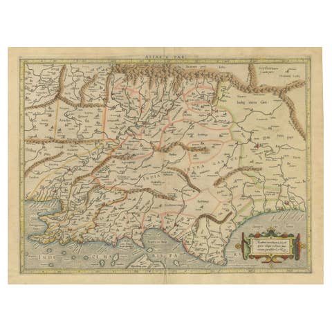
Ancient Course of the Ganges: A First Ptolemaic Map of India by Mercator, c.1584
1584 · € 1 140
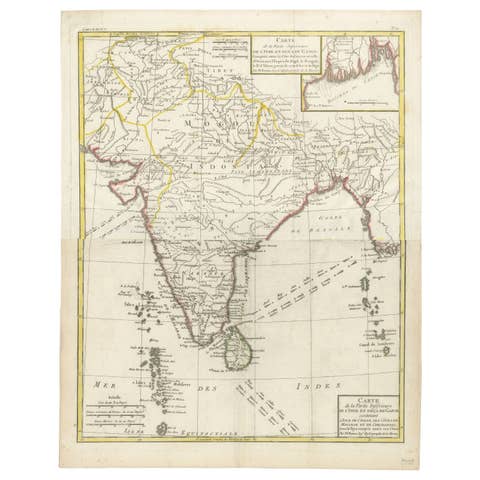
Map of India and Ceylon with Inset of Calcutta and the Ganges, by Bonne, 1780
1780 · € 320

1654 Nicolas Sanson Map of Southern India and Southeast Asia
1654 · € 1 100
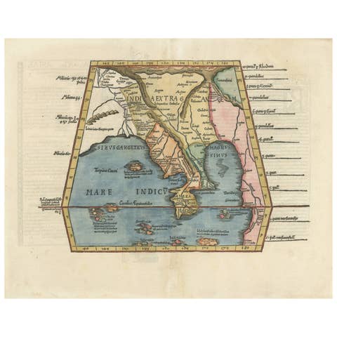
Map of India and Southeast Asia from Ptolemaic Geography – 16th Century Woodcut
€ 1 900
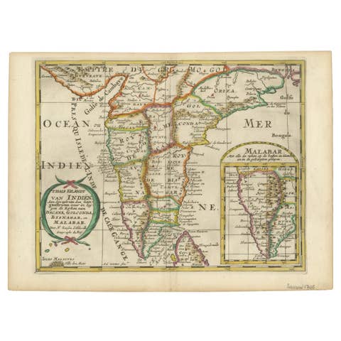
1705 Sanson Map of Southern India and Malabar with an Inset Map
1705 · € 770
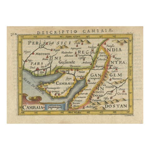
1616 Petrus Bertius Miniature Map of Cambay (Gujarat, India)
1616 · € 350
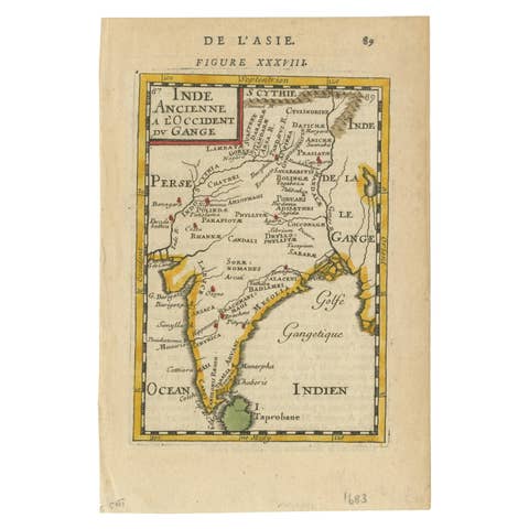
1683 Alain Manesson Mallet Map of Ancient India, the Ganges, and Taprobane
1683 · € 560
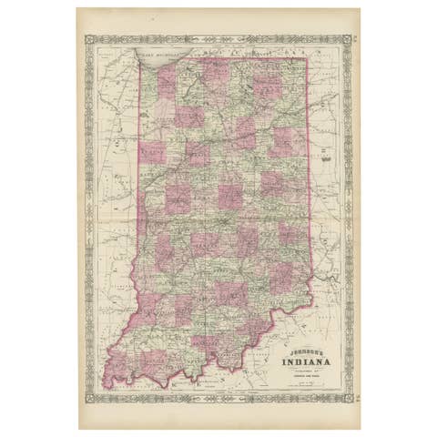
Decorative 1864 Civil War Era Map of Indiana with Lake Michigan Detail
1864 · € 340

Map of the West India Islands and Central America – Colorful 1903 Engraving
1903 · € 340

1616 Petrus Kaerius Map of Southern India and Ceylon – Narsinga et Ceylon
1616 · € 490
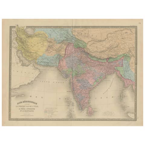
Antique Map of India, Persia & Afghanistan – Detailed Continental Engraving 1864
1864 · € 390
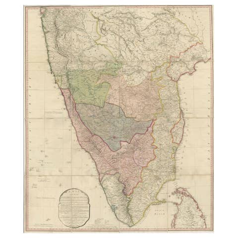
Large Decorative Colonial-Era Map of South India – Peninsula of India, 1800
1800 · € 2 400
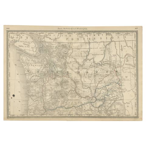
Washington Map 1888 – Antique Railroads, Indian Reservations & Counties
1888 · € 480
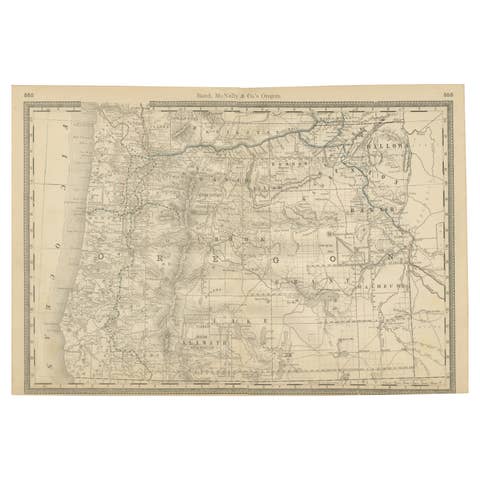
1888 Antique Map of Oregon – Railroads, Counties & Native Indian Reservations
1888 · € 480
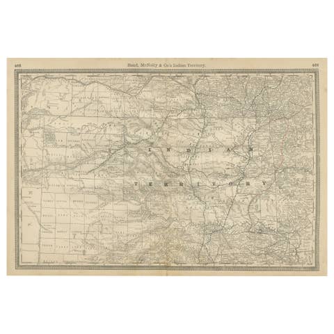
Indian Territory Map 1888 – Rand McNally Antique Lithograph
1888 · € 480
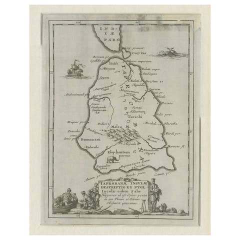
Antique Map of Sri Lanka – Taprobanae Insulae Descriptio by Mercator, 1607
1607 · € 330