Antique Maps of India & Ceylon
45 original sheets
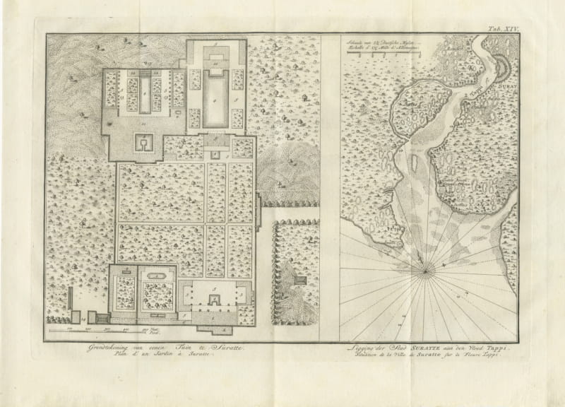
Plan of a Garden at Surat and the City on the Tapti, 1780
1780 · € 230
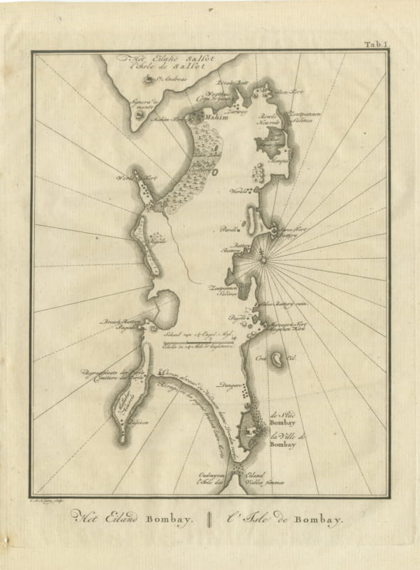
Antique Map of the Island of Bombay, Niebuhr Engraving, 1780
1780 · € 330
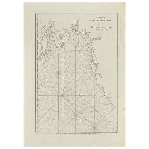
Antique Map of the Bay of Bengal Printed for Robert Sayer, 1787
1787 · € 500
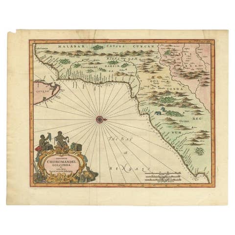
Antique Map of Choromandel, Golconda and Orixa, Malabar, India, 1744
1744 · € 1 150
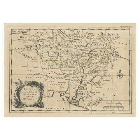
Antique Map of India as Described It Was before the 5th Century, 1744
1744 · € 320
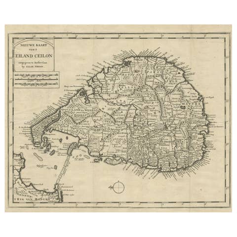
Old Map of Ceylon 'Sri Lanka' with The North Oriented to The Left, 1731
1731 · € 650
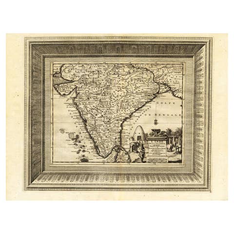
Rare Engraved Antique Map of India with Elephants in the Cartouche, c.1725
1725 · € 1 350
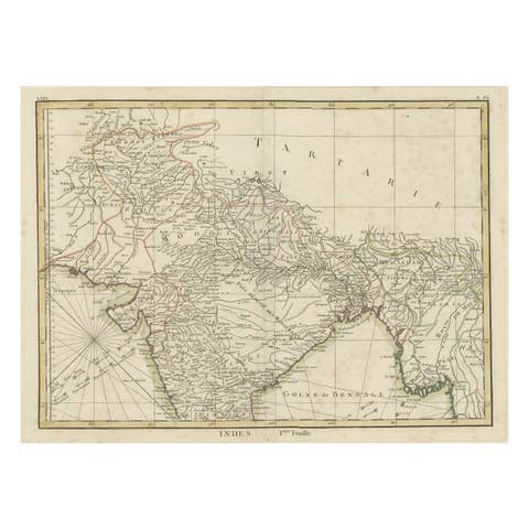
Old Map of North India From Kandahar East to Burma 'Pegu' and South to Goa, 1776
1776 · € 370
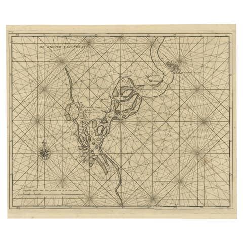
Map of Tapi or Tapti River in Central India and Along the Arabian Sea, 1726
1726 · € 380
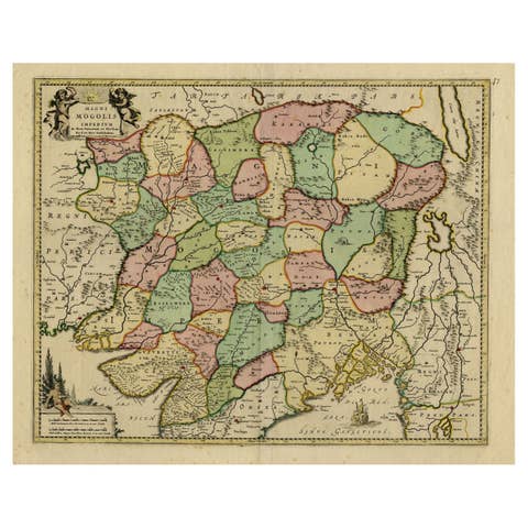
Map of Northern India & Surrounding Regions, incl Kabul, Candahar & Bhutan, 1710
1710 · € 1 220
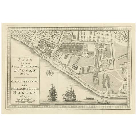
Original Antique Plan of the Dutch Settlement at Chinsura-Hooghly, India, 1746
1746 · € 148
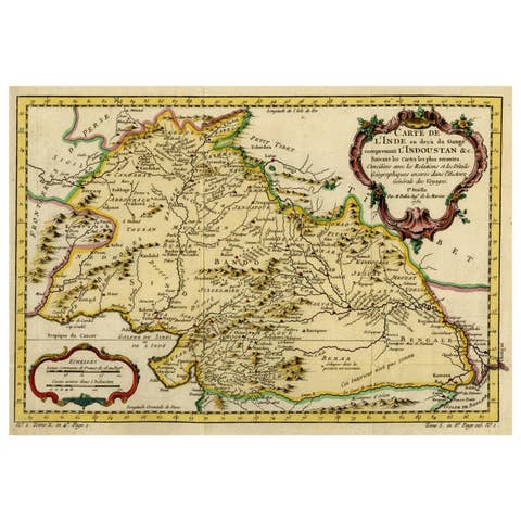
Nicely Hand-Colored Antique Map of Part of India, the Ganges & Hindustan, 1755
1755 · € 640
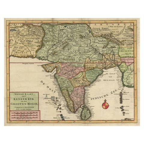
Attractive Detailed Map of the Empire of the Great Mogul, Incl India, 1731
1731 · € 940
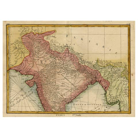
Original and Colorful Map of Northern India with Surrounding Regions, 1783
1783 · € 570
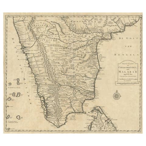
Old Original Map of Chormandel & Malabar, India & Ceylon, Now Sri Lanka, 1726
1726 · € 550
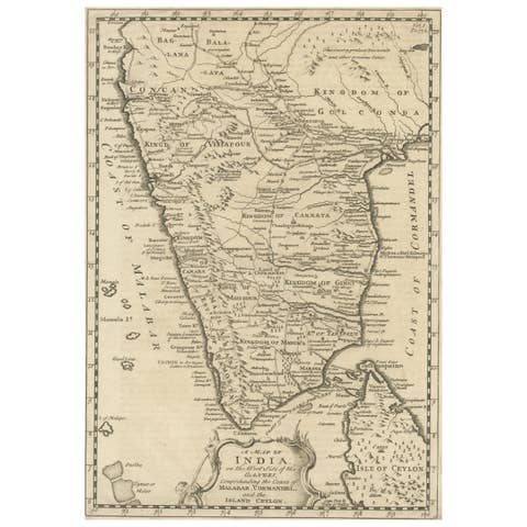
Original Detailed Antique Map of Southern India and Most of Ceylon, 1744
1744 · € 440
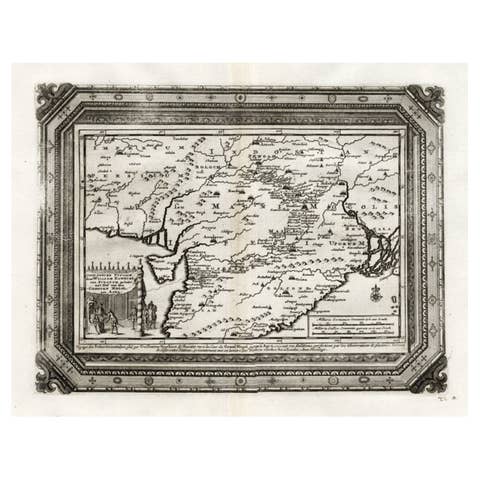
Rare Antique Map of the Moghul Empire, ca.1725
1725 · € 840
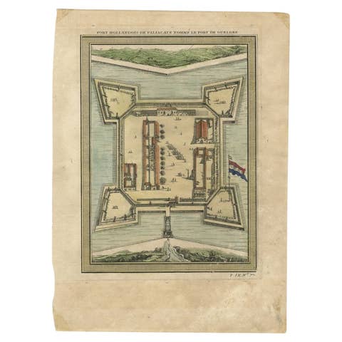
Fort Hollandois De Paliacate Nommé Le Fort De Gueldre, Bellin, 1751
1751 · € 120
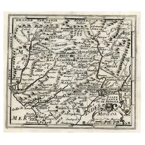
Map of Northern India and Pakistan 'Mogol', Showing Kabul, Delhi Etc., 1758
1758 · € 370
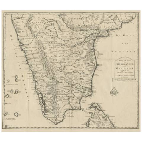
Map of Choromandel & Malabar, Incl Kerala, Tamil Nadu & Part of Sri Lanka, 1726
1726 · € 980
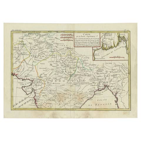
Antique Map of Northern India by Bonne, 1780
1780 · € 230
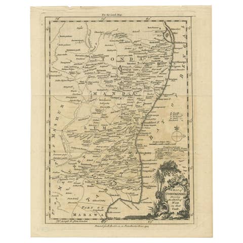
Antique Map of the Coromandel Peninsula, 1754
1754 · € 119
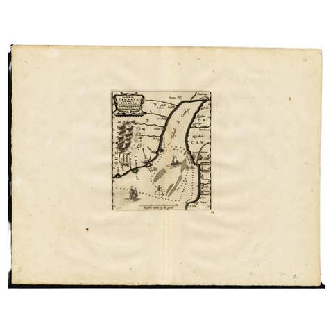
Antique Map of the Gulf of Cambay, Gujarat, India, 1725
1725 · € 460
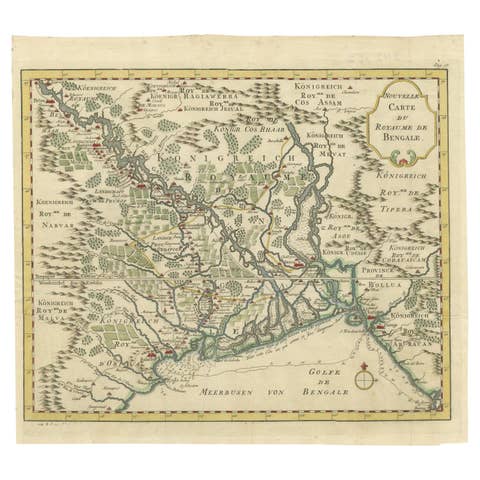
Detailed Regional Map of the Gulf of Bengal and the Lower Ganges River, ca.1750
1750 · € 630
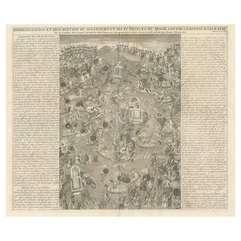
Mughal Princes’ Revolt – Battle Engraving by Chatelain, Atlas Historique 1718
1718 · € 490
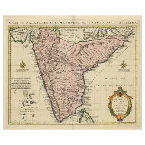
Antique Hand-Colored Map of Southern India by Covens & Mortier, 1725
1725 · € 910
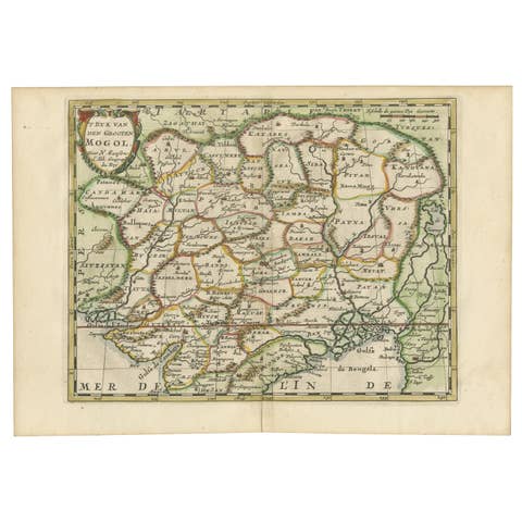
Cartographic Elegance of the Mughal Dominion in a Hand-Colored Antique Map, 1705
1705 · € 660

1782 Map of the East Indies – India, Siam, Philippines, Java, Borneo, Ganges
1782 · € 330
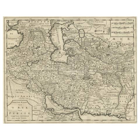
Map of Persia, the Caspian & India – Isaak Tirion, c.1730
1730 · € 520
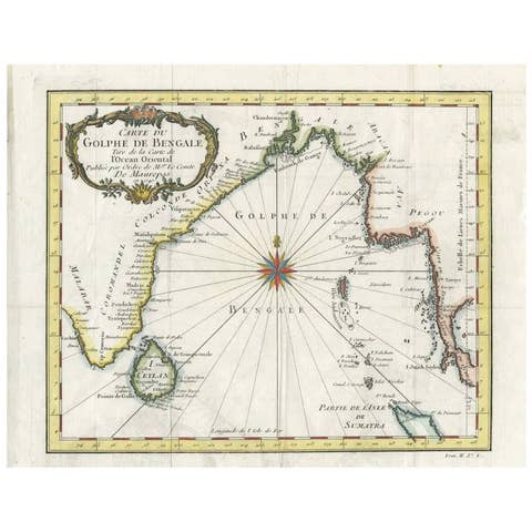
Antique Map of the Gulf of Bengal by J.N. Bellin, circa 1760
1760 · € 264
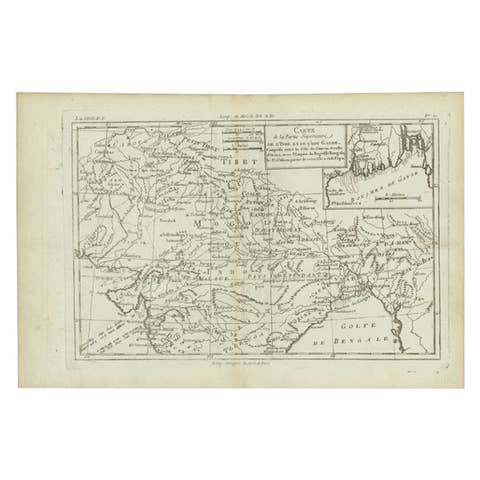
Antique Map of Part of Southern Asia by Bonne, c.1780
1780 · € 125
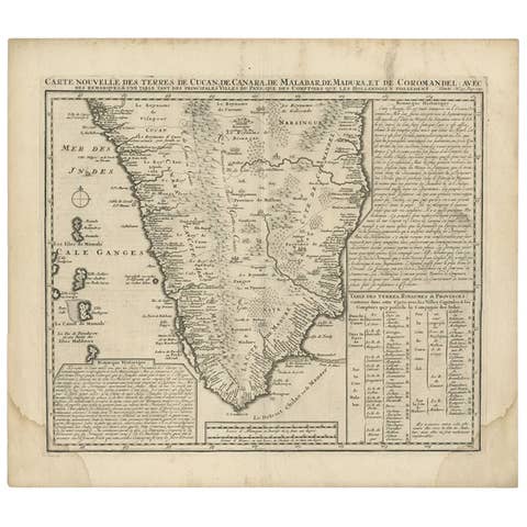
Antique Map of Southern India by Chatelain, c.1720
1720 · € 310
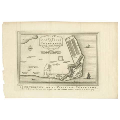
Antique Print of the Kodungallur Fortress by Van Schley, 1755
1755 · € 107

Antique Map of the Malabar Coast by Baldaeus, 1744
1744 · € 348
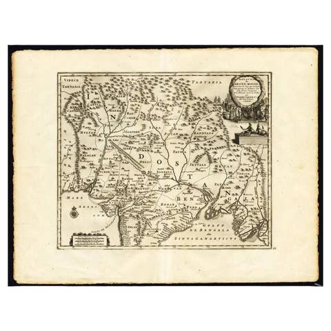
Antique Map of the Mughal Empire by Van der Aa, C.1725
1725 · € 660
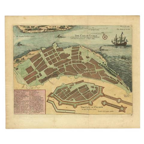
Very Attractive Handcolored Antique Plan of Cochin in India, 1744
1744 · € 840
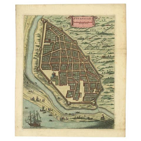
Attractive Hand-Colored Antique Plan of Nagapattinam in India, 1744
1744 · € 590
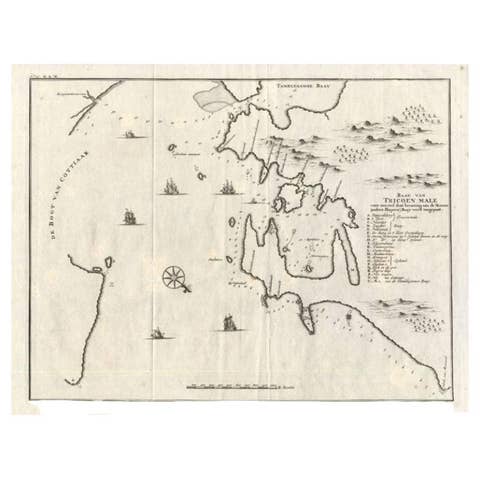
Antique Map of Trincomalee and Tambalagam Bay, 1758
1758 · € 180
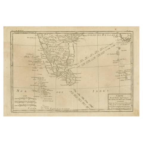
Antique Map of Southern India, Sri Lanka & Maldives with Ocean Currents, 1790
1790 · € 280
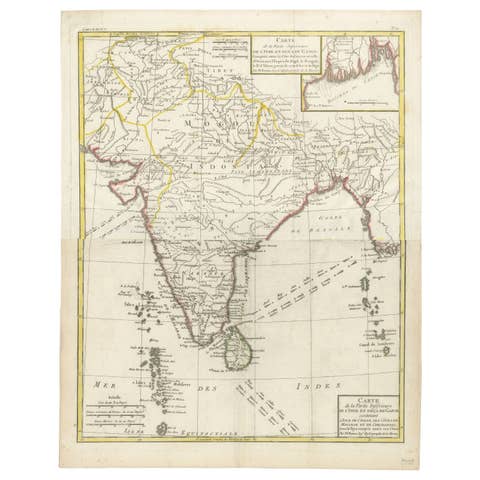
Map of India and Ceylon with Inset of Calcutta and the Ganges, by Bonne, 1780
1780 · € 320
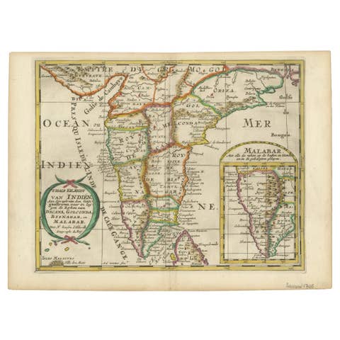
1705 Sanson Map of Southern India and Malabar with an Inset Map
1705 · € 770
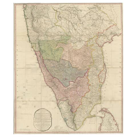
Large Decorative Colonial-Era Map of South India – Peninsula of India, 1800
1800 · € 2 400

Antique Map Set East Indies – India, Indochina, Indonesia, Zatta 1784
1784 · € 2 495
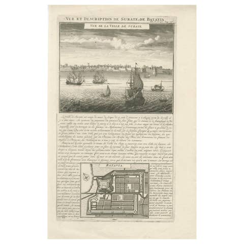
Antique View of Surat & Plan of Batavia — VOC India & Indonesia, Chatelain, 1719
1719 · € 380

Antique Map Sri Lanka Ceylon Bellin 1750 – Kingdom of Kandy Enlightenment Map
1750 · € 440