About this sheet
Antique Map of Southern India, Sri Lanka & Maldives with Ocean Currents – Rigobert Bonne
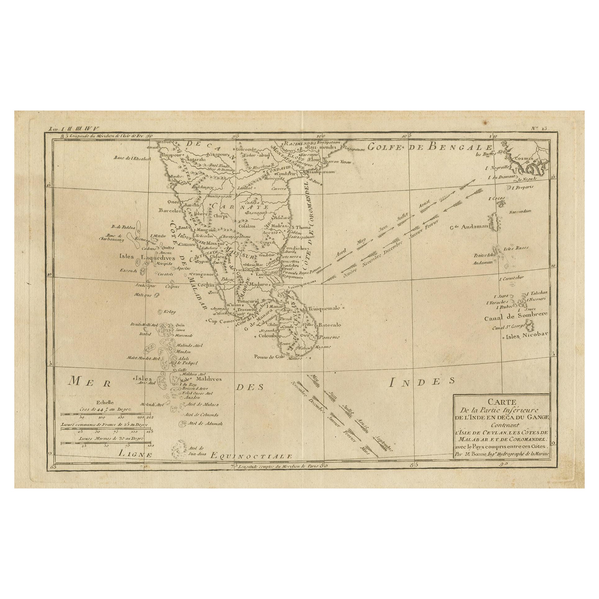
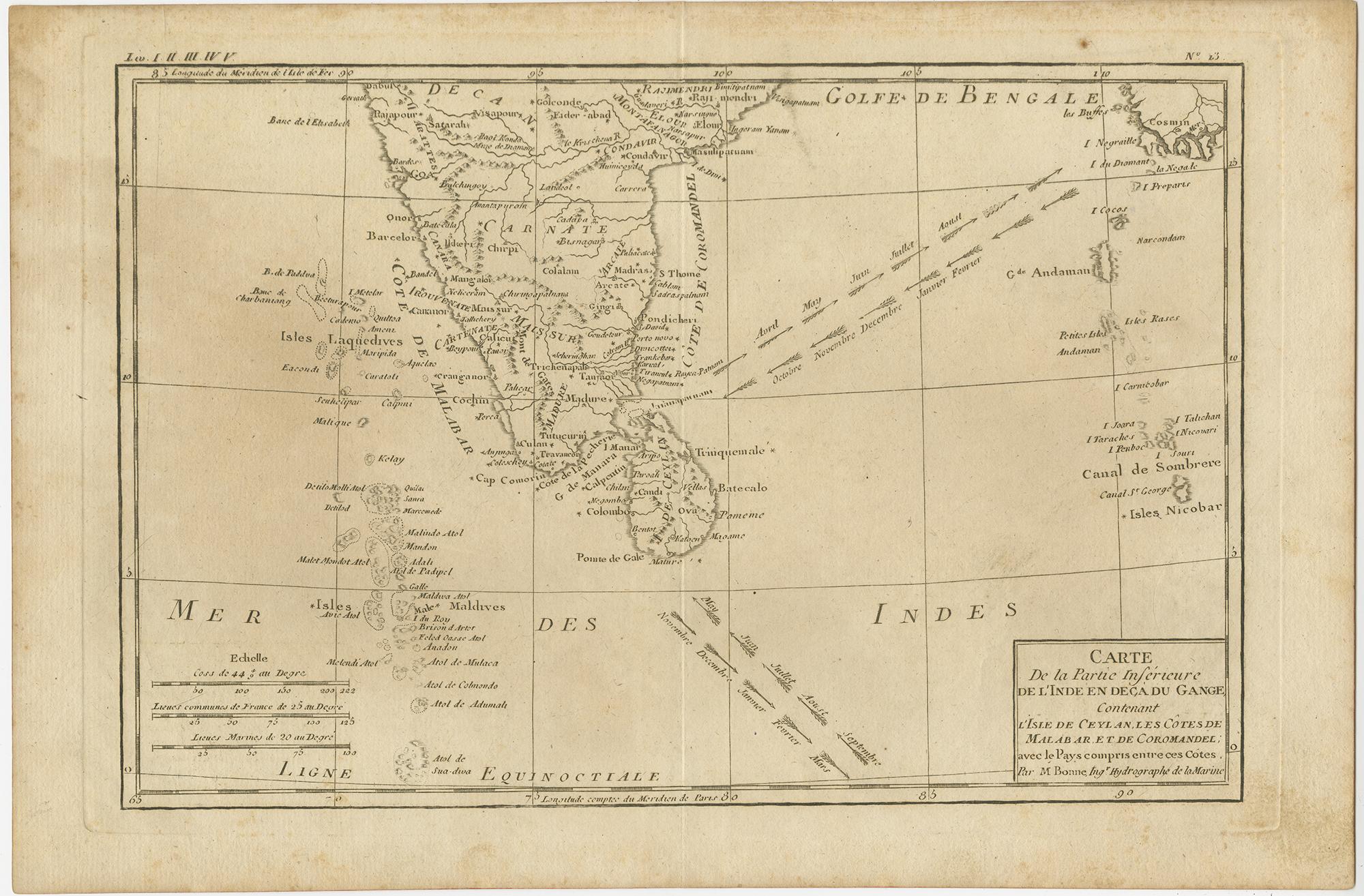
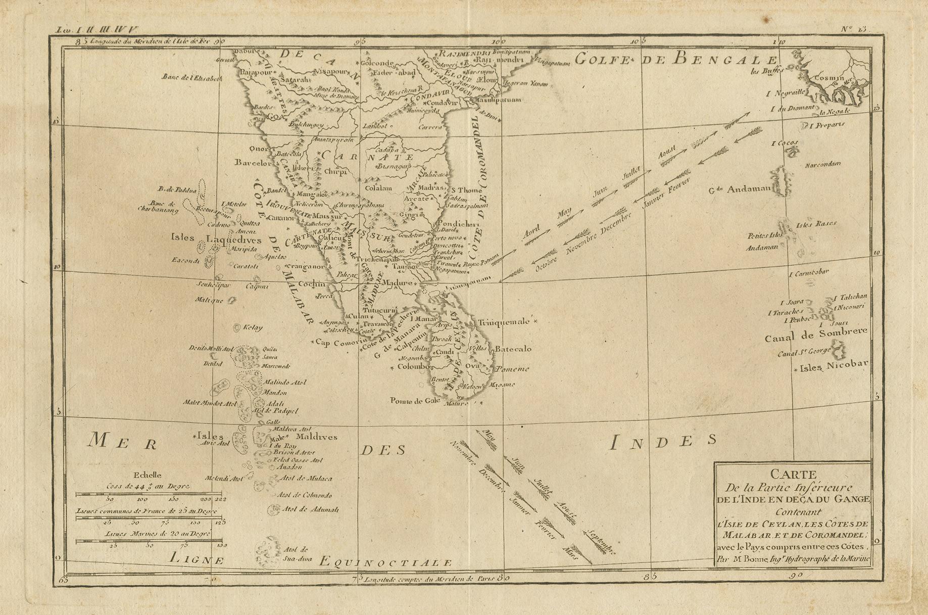
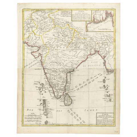
Antique engraved map titled “Carte de la Partie Inférieure de l’Inde en Deçà du Gange,” depicting southern India, Sri Lanka (Ceylon), and the Maldives, with an emphasis on maritime geography and oceanic circulation. The map covers the Indian subcontinent south of the Ganges, the Coromandel and Malabar coasts, Sri Lanka, the Maldives archipelago, and adjacent waters of the Indian Ocean and the Bay of Bengal.
A particularly notable feature of this map is the inclusion of month-by-month indications of ocean currents, shown by directional arrows across the sea. These annotations reflect late-eighteenth-century hydrographic knowledge and underline the map’s practical relevance for navigation, trade, and long-distance maritime travel in the Indian Ocean world.
The coastlines, river systems, and major settlements are finely engraved, with a restrained and highly legible cartographic style characteristic of French scientific mapping of the period. The balance between geographic clarity and navigational information makes this map both an important documentary source and an elegant example of Enlightenment-era cartography.
The map was published by or after Rigobert Bonne around 1790. Bonne was one of the most influential French cartographers of the late eighteenth century and served as Royal Hydrographer at the Dépôt de la Marine. His maps are known for their accuracy, clean engraving, and scientific approach, and they played a key role in shaping European geographic knowledge during this period. This sheet relates closely to Bonne’s work for major atlases of the era, including the Atlas Encyclopédique and other authoritative geographic publications.
An attractive and informative map, appealing to collectors of Indian Ocean cartography, maritime history, and late-eighteenth-century French maps, as well as to interior designers seeking a refined and intellectually engaging wall piece.
Condition
Good original condition with light age-related toning and minor surface wear consistent with eighteenth-century engraved maps. Central fold as issued. No later coloring or restoration observed.
Framing tips
This map presents beautifully in a dark walnut or black frame with a wide ivory or soft off-white mat. The generous margins and detailed engraving benefit from museum glass to preserve contrast and protect the paper.
Technique: Engraving
Maker: Rigobert Bonne, France, circa 1790