About this sheet
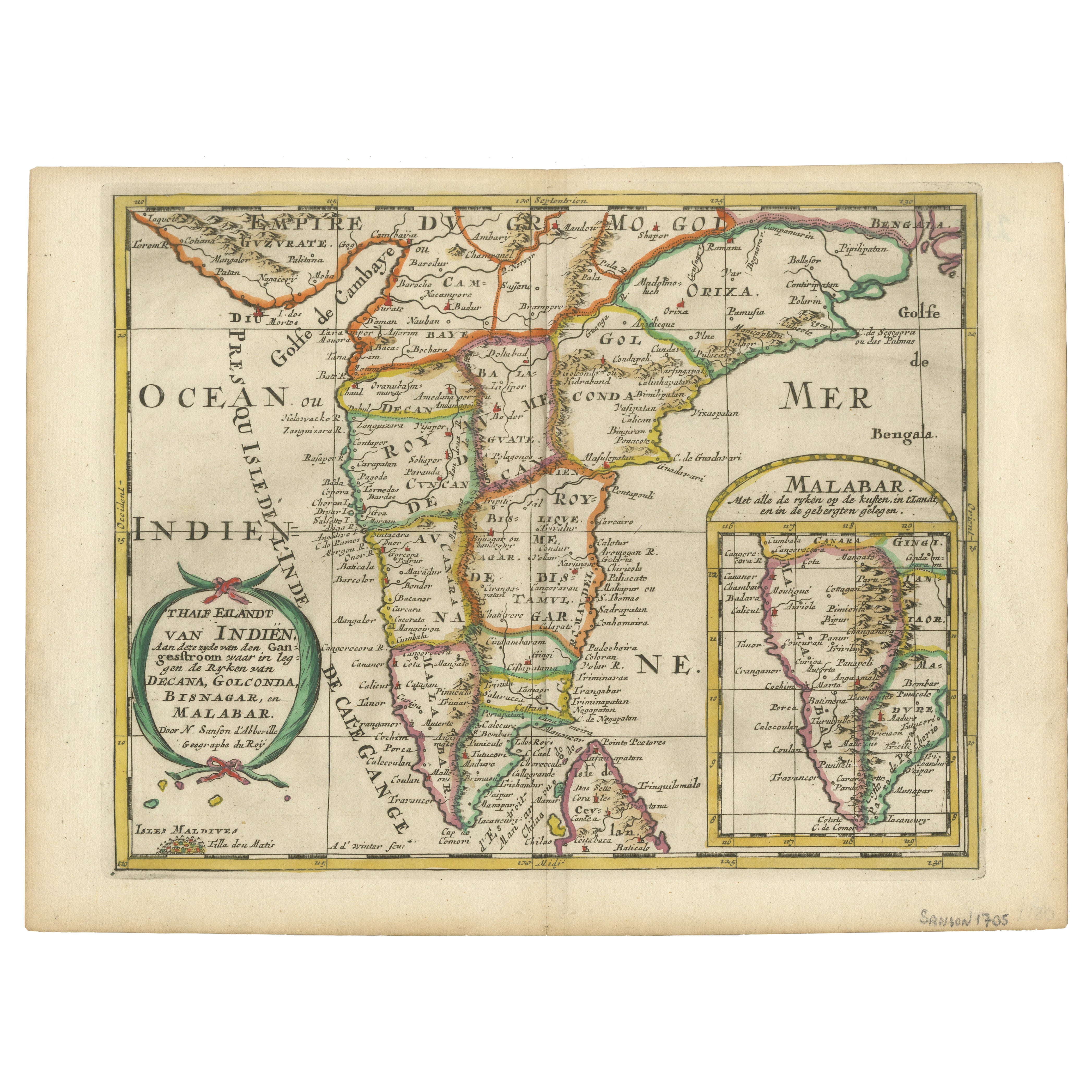
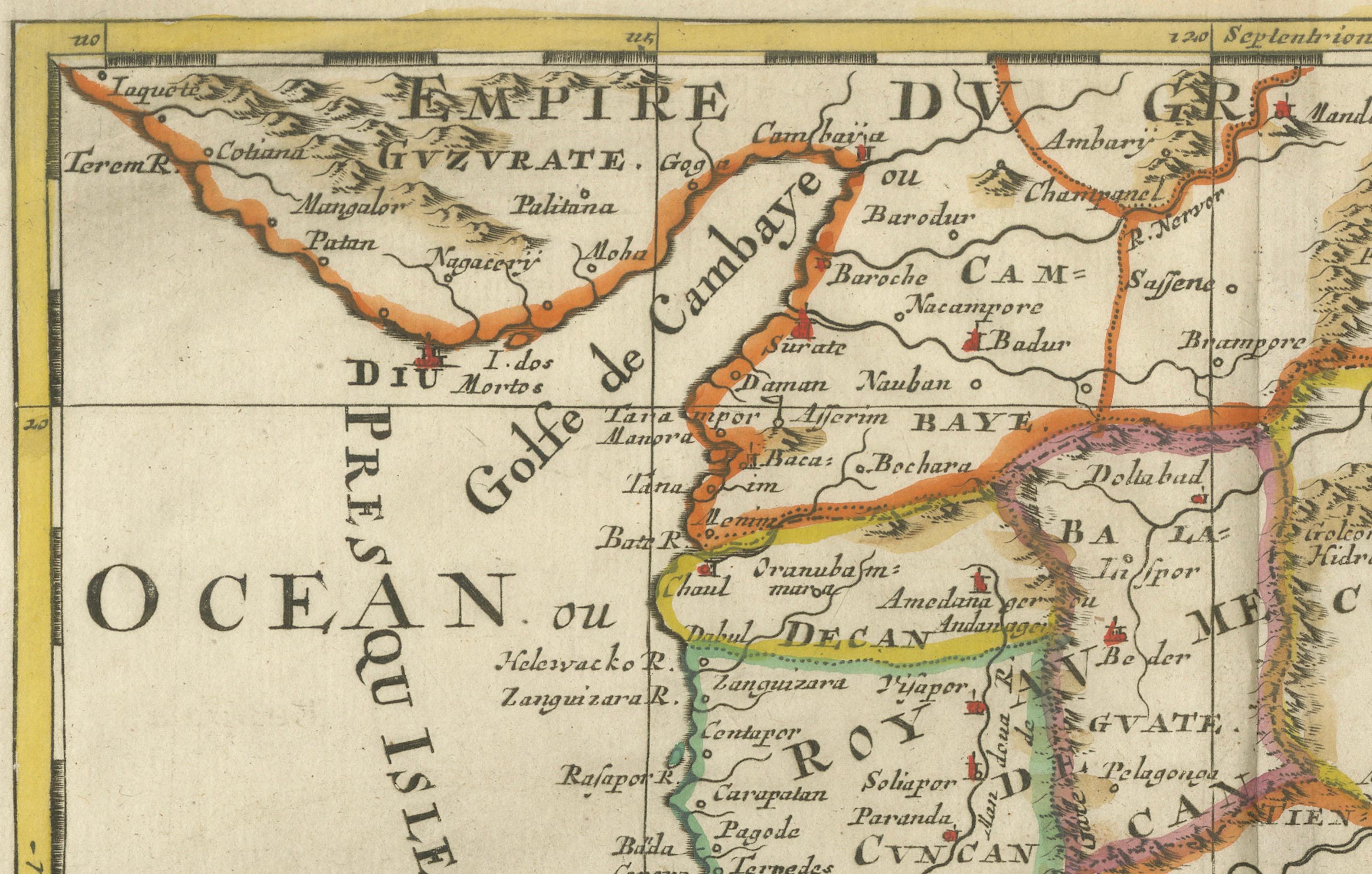
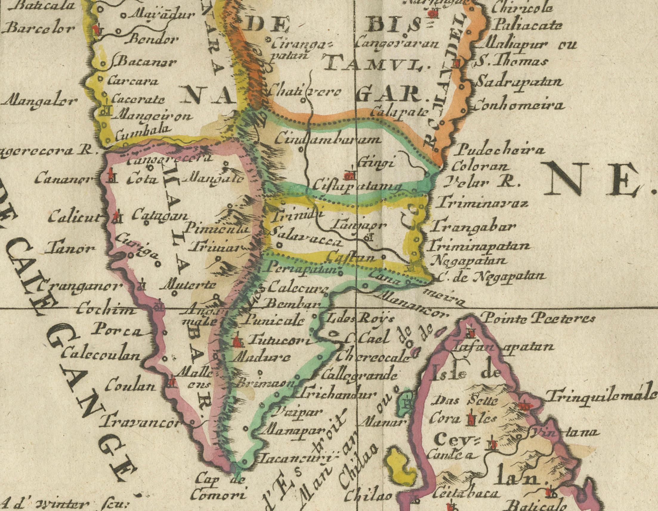
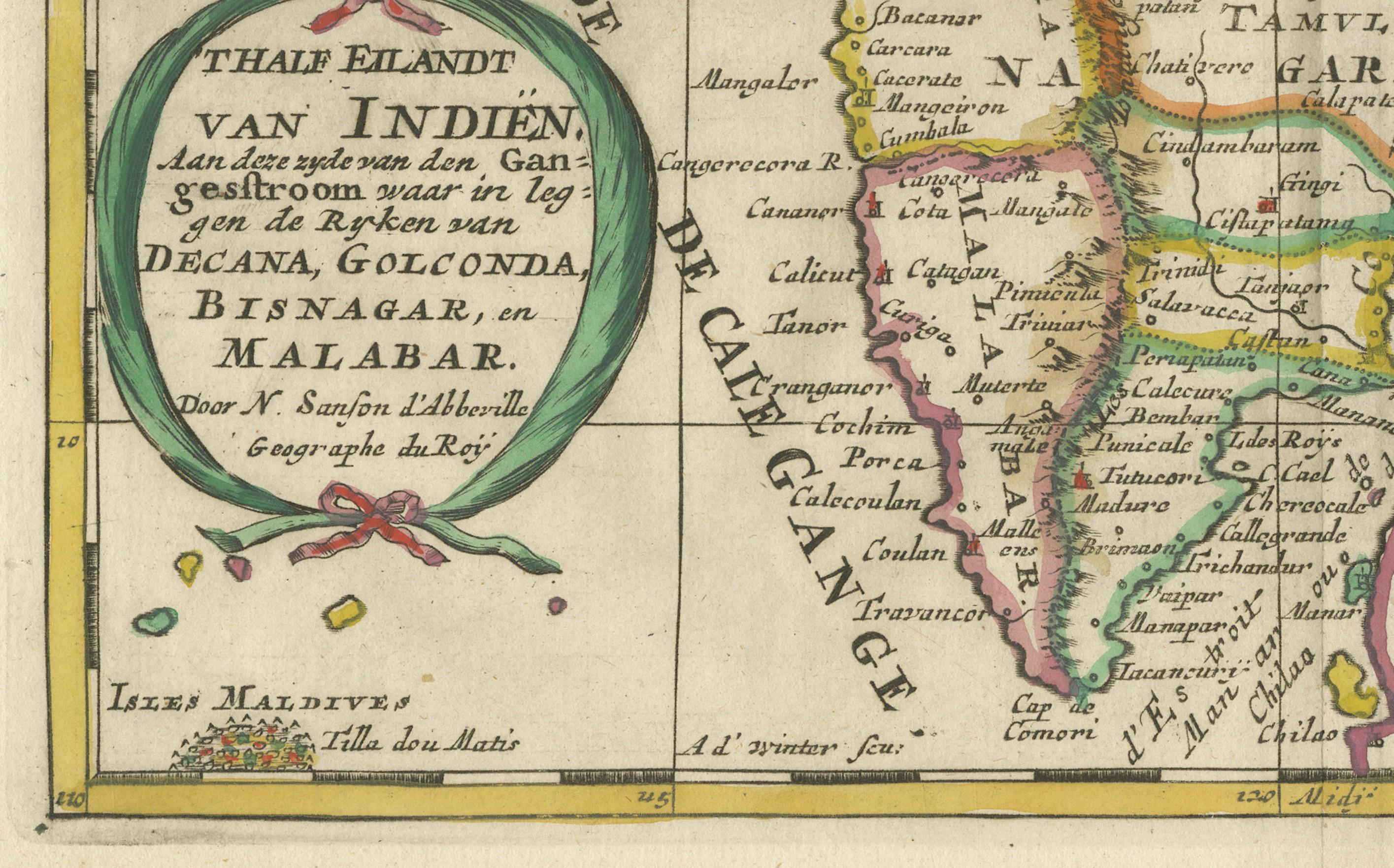
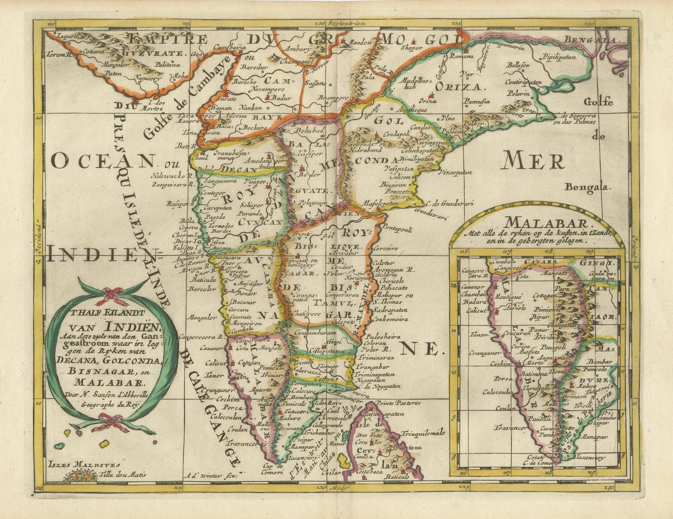
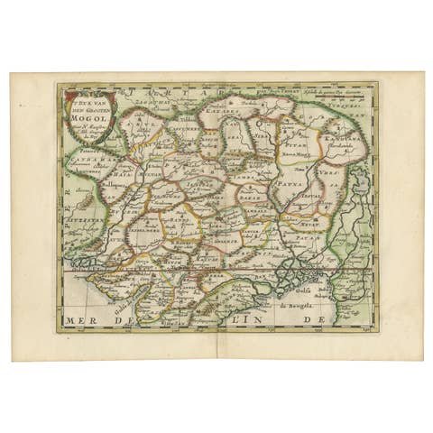
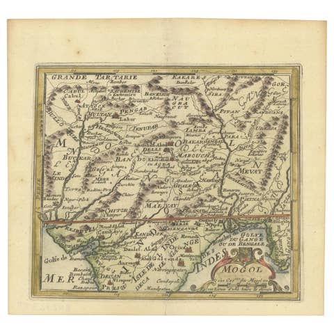
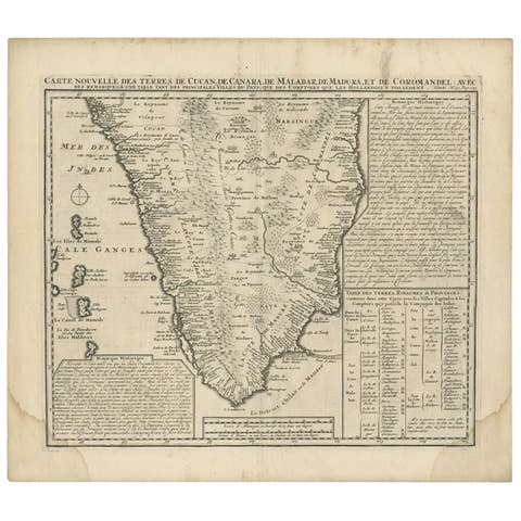
This finely engraved and beautifully hand-colored antique map, published in 1705, depicts southern India, including the regions of Decan, Golconda, Bisnagar, and Malabar. It was created by the prominent French cartographer Nicolas Sanson and later issued by successors such as Pierre Duval or other publishers who followed his geographical interpretations. The map is titled Thalf Eilandt van Indien in Dutch, indicating it was produced for the Dutch market, which was heavily involved in trade and colonial activities in India during the 17th and early 18th centuries.
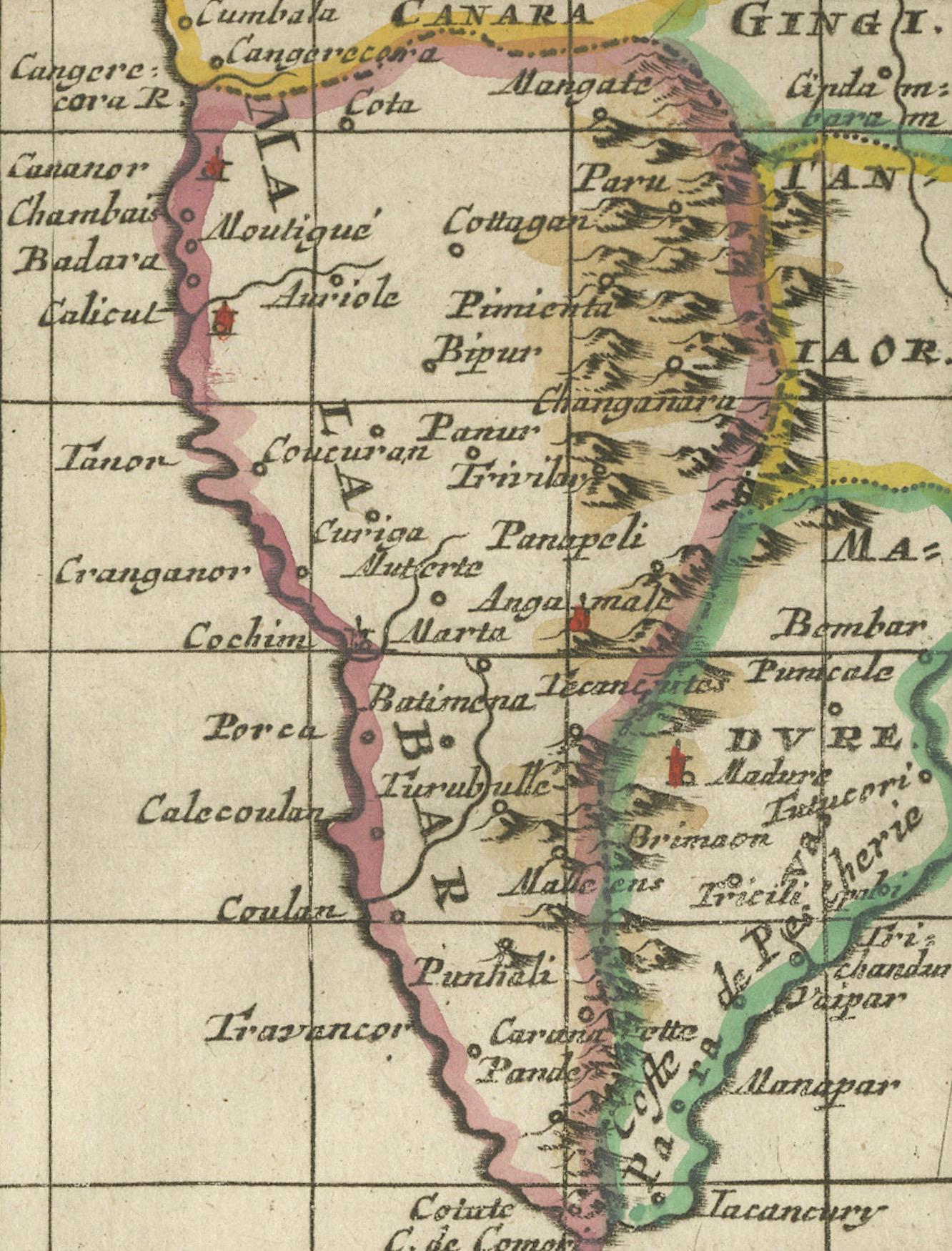
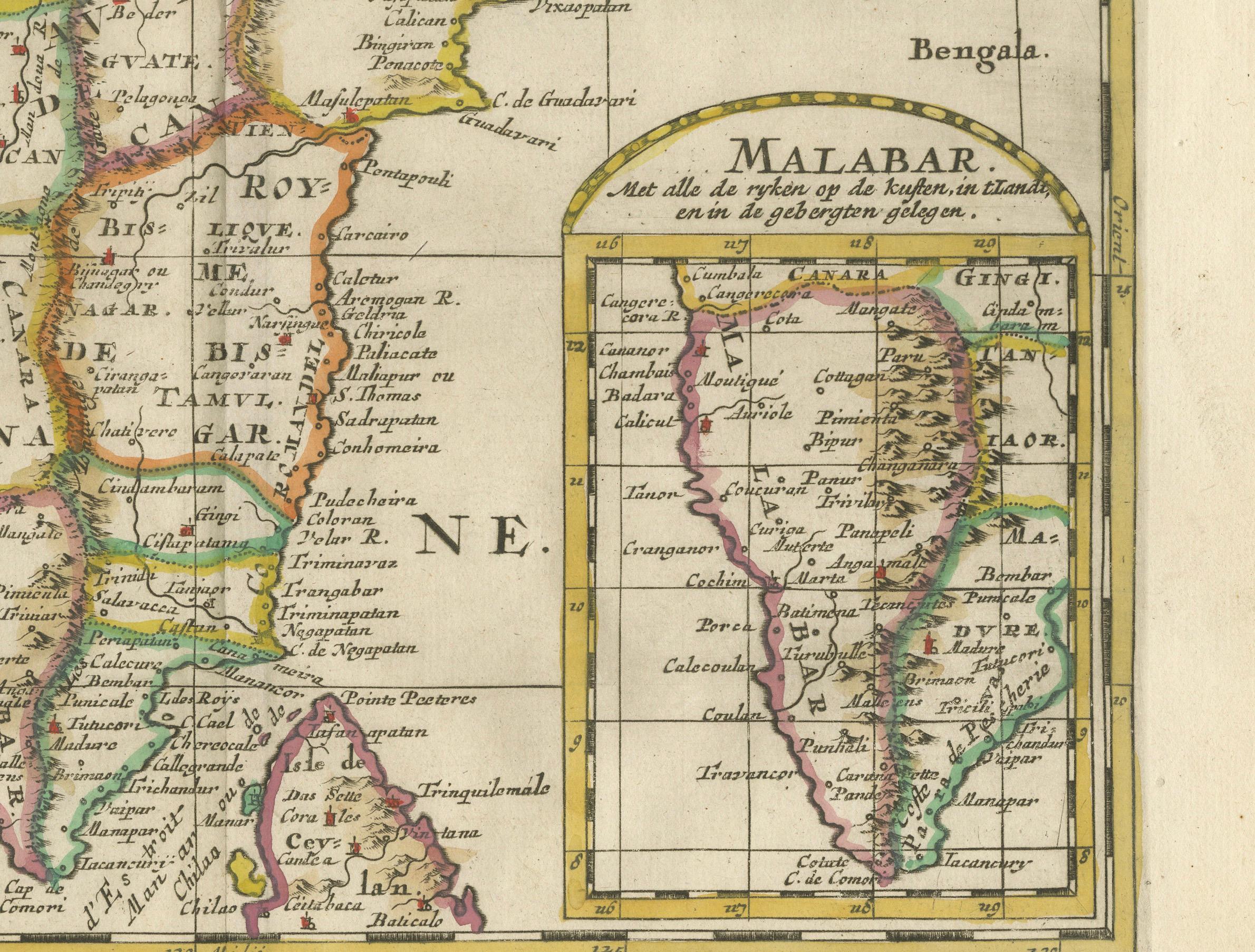
The map presents a richly detailed depiction of the Indian subcontinent, focusing on the Deccan Plateau, the eastern coastal regions bordering the Bay of Bengal, and the western Malabar Coast, known for its significance in the spice trade. The inset map in the lower right corner provides a more focused view of the Malabar region, showing key trading ports and settlements. The Maldives, labeled as Iles Maldives, are also indicated in the bottom left corner, reflecting their historical importance in regional navigation and commerce.
The geographical delineation follows the European cartographic traditions of the early 18th century, blending Renaissance knowledge with updated reports from explorers, traders, and missionaries. The decorative cartouche, adorned with draped ribbon and foliage, emphasizes the Dutch influence in presenting exotic lands to European audiences. The script and place names appear in a mix of French and Dutch, reflecting the international reach of the map’s intended readership.
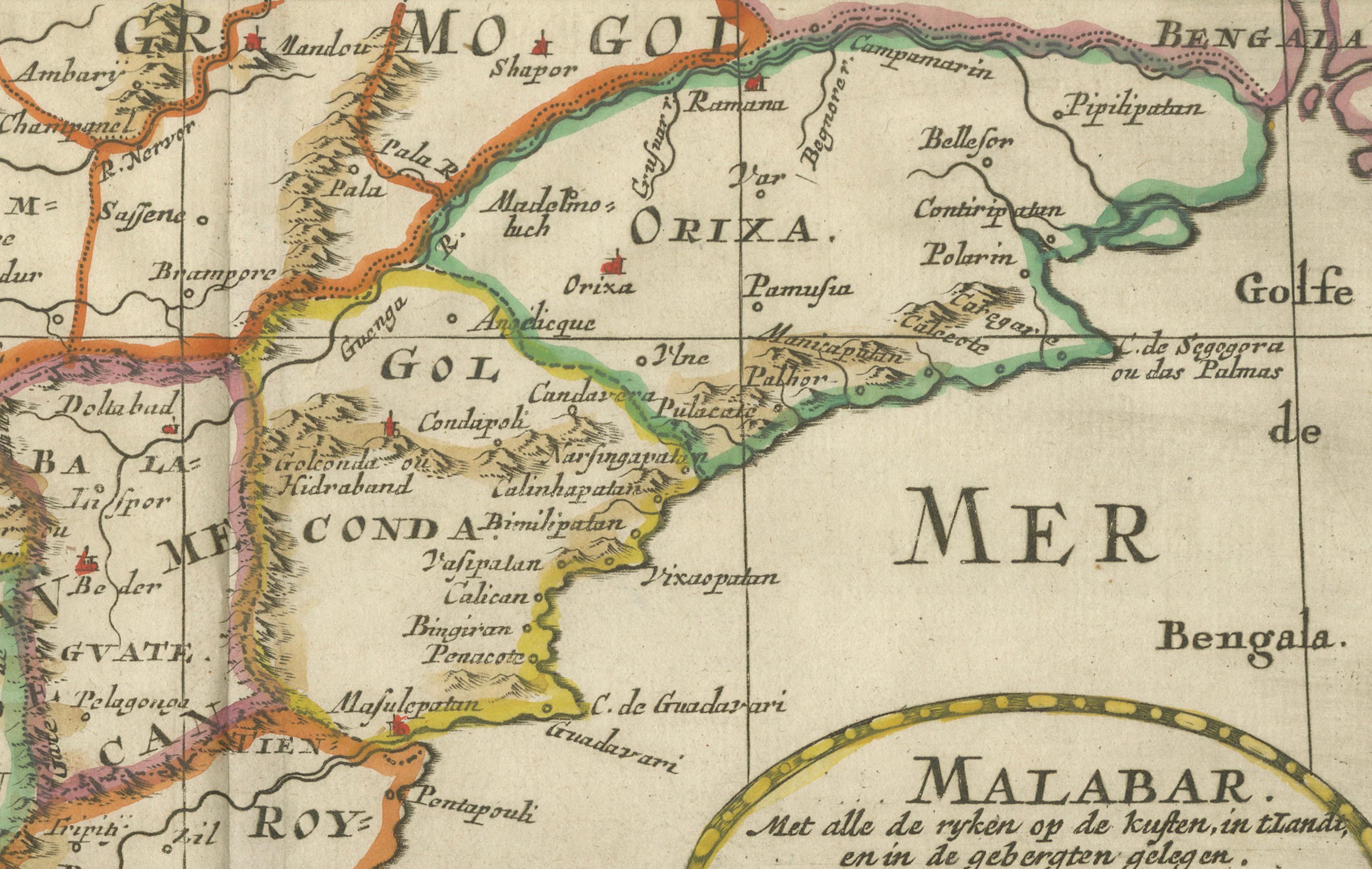
Maps of India from this period were crucial for European powers vying for control of trade routes and colonial expansion. This particular map represents a transitional phase in European cartography, where older Ptolemaic models were being replaced with more accurate surveys. The regions marked correspond to contemporary Indian states, including Maharashtra, Andhra Pradesh, Tamil Nadu, and Kerala, making this an essential piece for collectors interested in India’s colonial history and early European perceptions of the subcontinent.
The hand-coloring is expertly applied, delineating political divisions with fine shading and highlighting key locations. The fine engraving details and artistic flourishes make this an exceptional piece of early 18th-century cartography.
Dimensions:
Approximately 11 by 8 inches or 28 by 20 centimeters
Cartographer:
Nicolas Sanson, a leading French cartographer active between 1600 and 1667, was known for advancing scientific mapmaking in the 17th century. His works influenced numerous later mapmakers, including Dutch and German publishers who reissued and adapted his maps in various formats.
Condition Report:
The paper remains strong and well-preserved, with visible chain lines indicative of 18th-century laid paper. The engraving is crisp and detailed, with clear place names and well-defined geographical features. The original hand-coloring is intact and retains a pleasing patina, enhancing the aesthetic of the piece. The margins are ample, with some minor toning along the edges, consistent with its age. The text is sharp and legible throughout.
There are minor foxing spots and a slight crease along the centerfold, which is typical for antique maps of this period. There are no significant tears, repairs, or damages, making this map an excellent addition to any collection of early maps, colonial trade history, or European cartographic developments.
Framing Recommendations:
To preserve and display this antique map properly, consider using museum-quality, acid-free matting and backing to prevent further aging. A double mat with a neutral outer mat and an inner accent in soft gold or green can enhance the map’s period aesthetic.
A classic wooden frame in mahogany, walnut, or dark oak would complement the historical nature of the piece. Alternatively, a gilded frame with subtle carvings can add a sophisticated antique touch.
For protection, UV-resistant museum glass or acrylic is recommended to prevent fading and safeguard the print from light exposure. Anti-reflective glass is ideal for clarity while maintaining the map’s visual appeal.
Avoid using adhesives directly on the paper. Instead, archival corner mounts or Japanese paper hinges should be used to secure the map without causing damage.
This framed map should be kept away from direct sunlight, moisture, and extreme temperature fluctuations. Ideal locations for display include a study, office, or gallery setting where its historical and artistic significance can be fully appreciated.
This 1705 Sanson map of southern India is a remarkable historical artifact that combines early European geographical knowledge with the decorative elegance of antique cartography. It is an outstanding addition to any collection focusing on India, colonial trade...