Antique Maps of India & Ceylon
152 original sheets
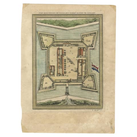
Fort Hollandois De Paliacate Nommé Le Fort De Gueldre, Bellin, 1751
1751 · € 120
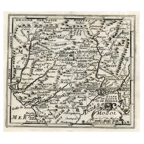
Map of Northern India and Pakistan 'Mogol', Showing Kabul, Delhi Etc., 1758
1758 · € 370
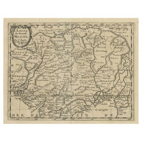
Old Map of the Mughal Empire, Persia in the West to Lake Chimay etc., ca.1685
1685 · € 320
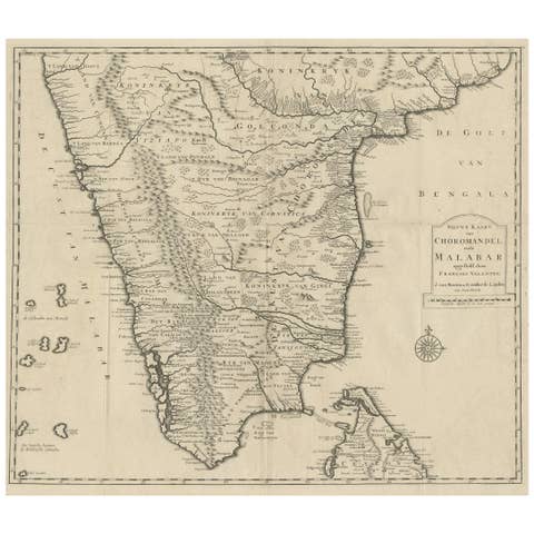
Map of Choromandel & Malabar, Incl Kerala, Tamil Nadu & Part of Sri Lanka, 1726
1726 · € 980
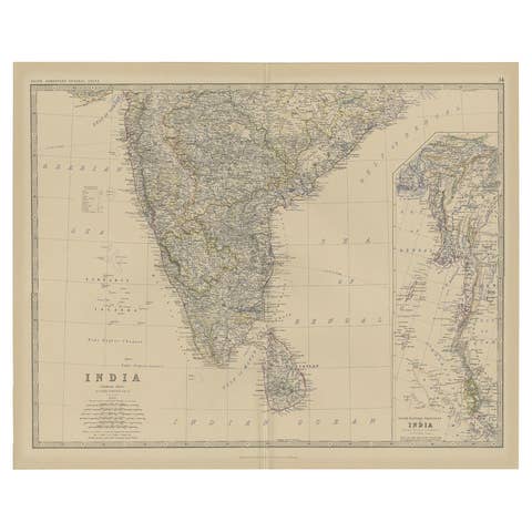
Old Map of Southern India and Ceylon 'Sri Lanka', 1882
1882 · € 290
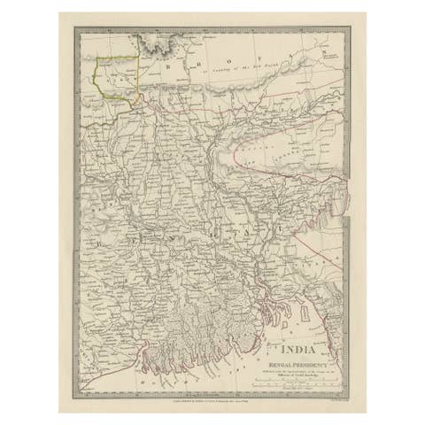
Steel Engraved Map of Part of the Bengal Presidency 'India & Bangladesh', 1831
1831 · € 370
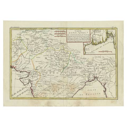
Antique Map of Northern India by Bonne, 1780
1780 · € 230
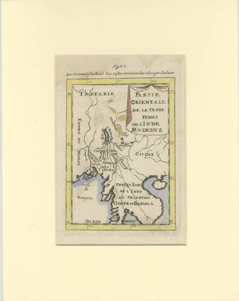
Antique Map of Northern India and the Bengal Gulf by Mallet, 1686
1686 · € 350
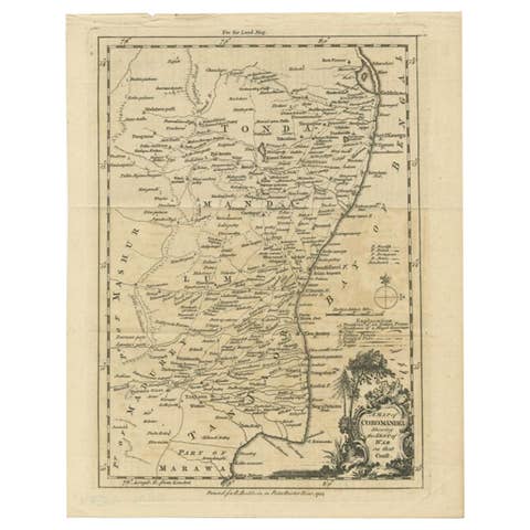
Antique Map of the Coromandel Peninsula, 1754
1754 · € 119
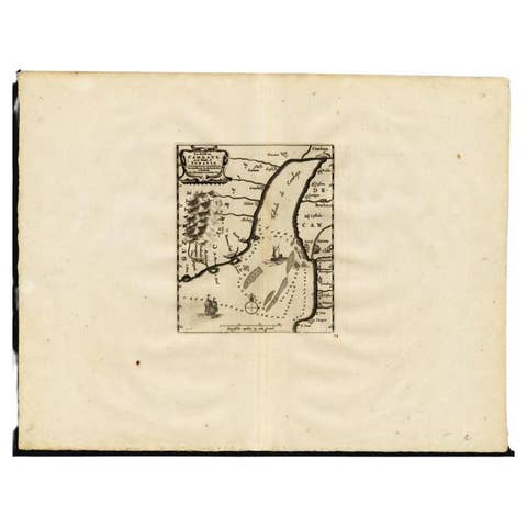
Antique Map of the Gulf of Cambay, Gujarat, India, 1725
1725 · € 460
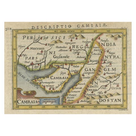
Rare Antique Miniature Map of Pakistan, India and Cambaia, ca.1616
1616 · € 390
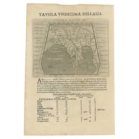
Late 16th Century Sheet with Copper Engravings of India, Pakistan, etc, 1598
1598 · € 560
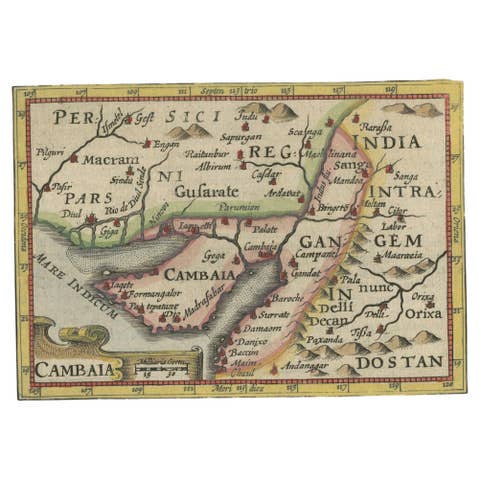
Rare Antique Miniature Map of Pakistan, India and Cambaia, ca.1618
1618 · € 390
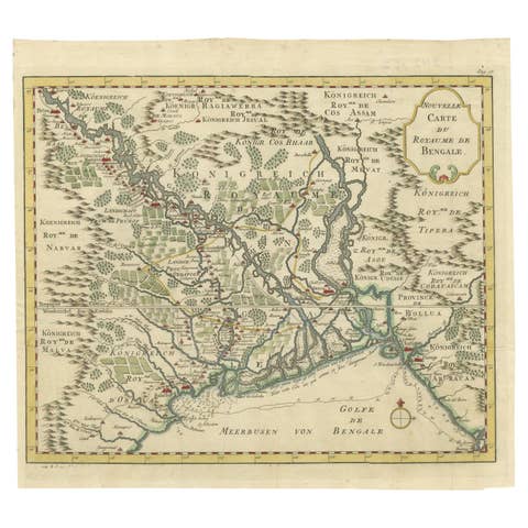
Detailed Regional Map of the Gulf of Bengal and the Lower Ganges River, ca.1750
1750 · € 630
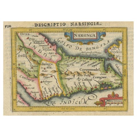
Colorful and Decorative Miniature Map of India, Ceylon by Bertius 1616
1616 · € 390
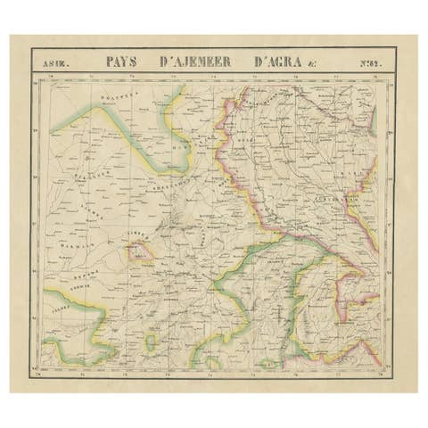
Large and Rare Antique Map of Northern India in Original Coloring, c.1825
1825 · € 710
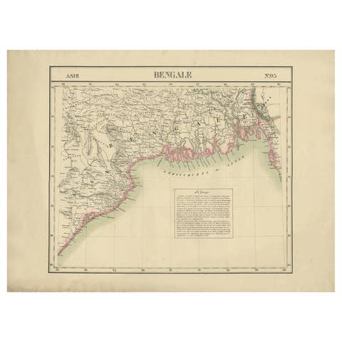
Detailed Orginal Antique Map of Bengal, India, c.1825
1825 · € 420
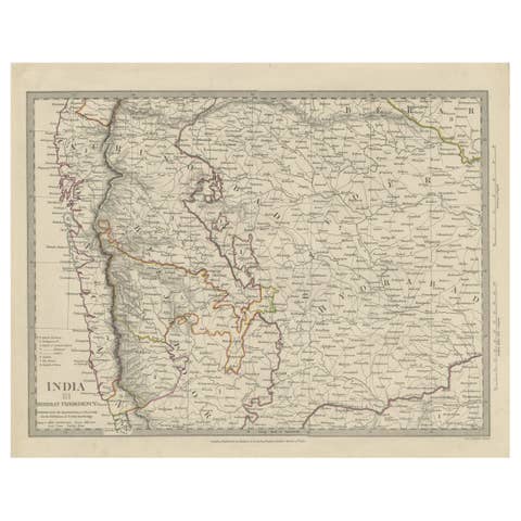
Antique Map of Part of the Bombay Presidency in India, 1831
1831 · € 290
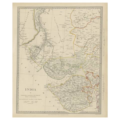
Antique Map of the Region of Gujarat and Cutch in India, 1833
1833 · € 290
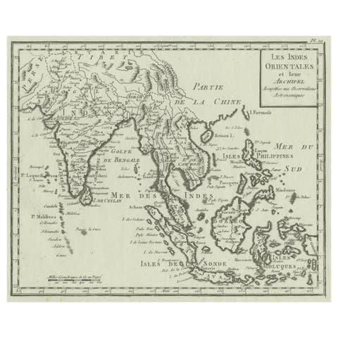
Antique Map of India, the East Indies and the Philippines
€ 380
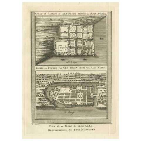
Antique Print of the Palace and Gardens of Shah Shuja & Plan of Munger, India
€ 290
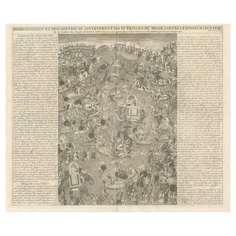
Mughal Princes’ Revolt – Battle Engraving by Chatelain, Atlas Historique 1718
1718 · € 490
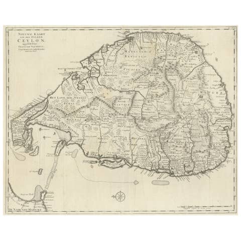
Large Antique Map of Ceylon, Sri Lanka
€ 790
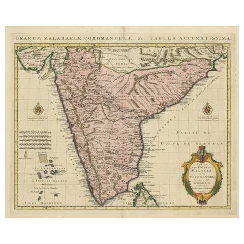
Antique Hand-Colored Map of Southern India by Covens & Mortier, 1725
1725 · € 910
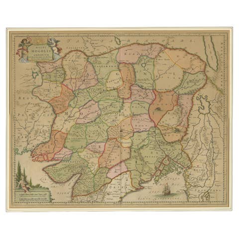
Antique Map of the Empire of the Great Mogul
€ 960
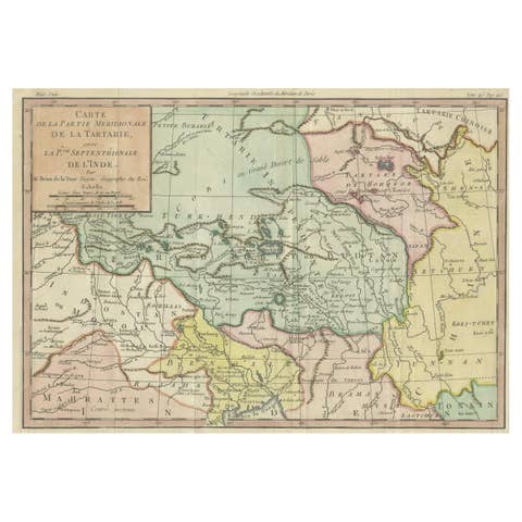
18th Century Hand-Colored Antique Map of Tartary and Northern India
€ 320
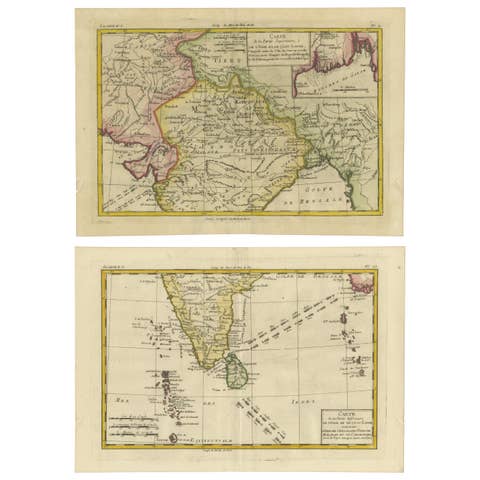
18th Century Cartographic Depiction of Upper India and Ceylon, 1835
1835 · € 700
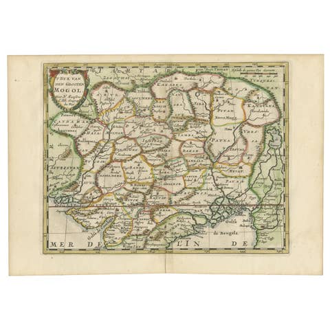
Cartographic Elegance of the Mughal Dominion in a Hand-Colored Antique Map, 1705
1705 · € 660
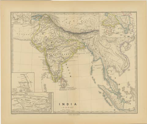
Ancient Cartography of the Indian Subcontinent, Published in 1880
1880 · € 370
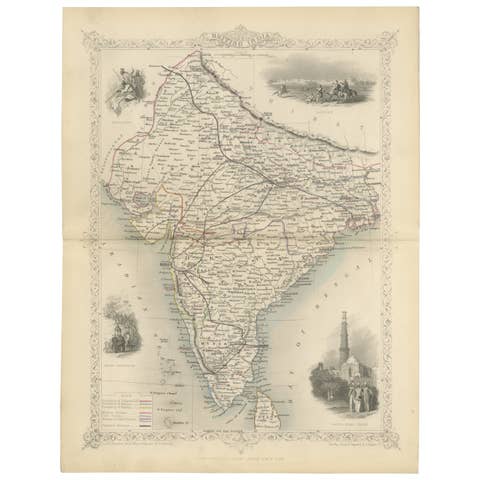
Mid-19th Century Decorative Map of India with Cultural and Natural Vignettes
€ 310
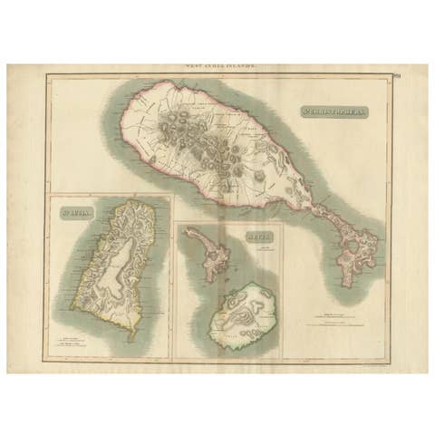
Hand-Colored Map of West India Islands: St. Christopher's, St. Lucia and Nevis
€ 580

1782 Map of the East Indies – India, Siam, Philippines, Java, Borneo, Ganges
1782 · € 330
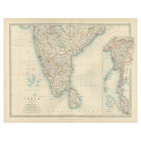
Antique Map of Southern India and South Eastern Provinces, 1903
1903 · € 310
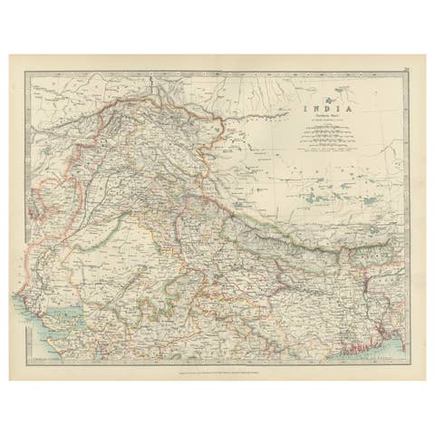
Antique Map of Northern India, Featuring Boundaries & Himalayan Detail, 1903
1903 · € 310
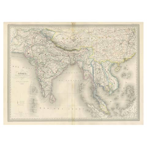
Antique Map of India & Southeast Asia – Chevalier Engraving, Malte-Brun, 1853
1853 · € 880
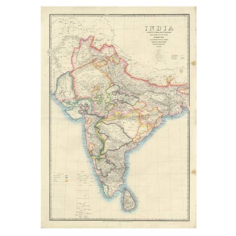
Large Antique Map of India – Post Roads and Dak Stations by James Wyld, c.1855
1855 · € 1 300
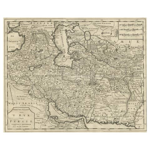
Map of Persia, the Caspian & India – Isaak Tirion, c.1730
1730 · € 520
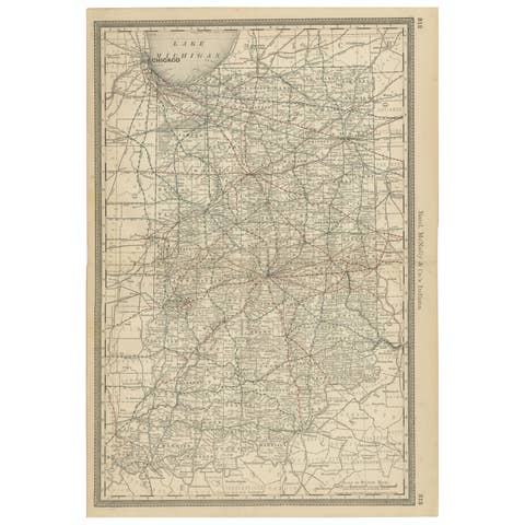
Antique Map of Indiana – The Hoosier State with Railroads & Counties, 1888
1888 · € 460
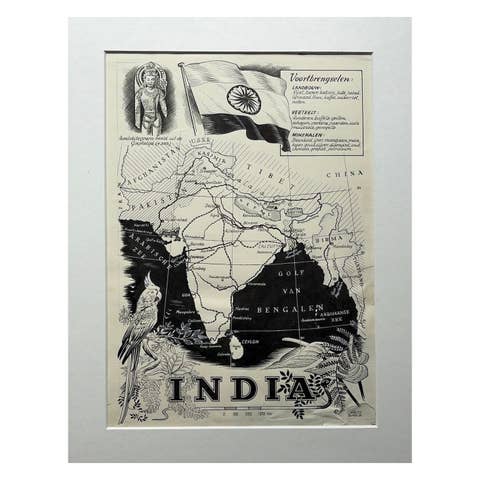
Original Illustration Map of India by Charles Burki, 1951 – Ink Drawing
1951 · € 880
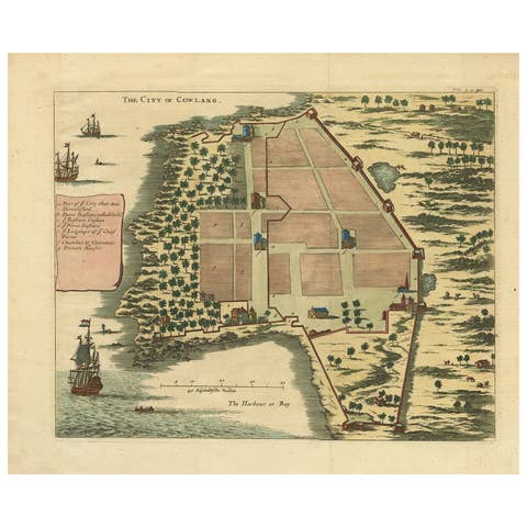
The City of Cowlang – Antique Map of Kollam (Quilon), India by Baldaeus, ca.1672
1672 · € 640
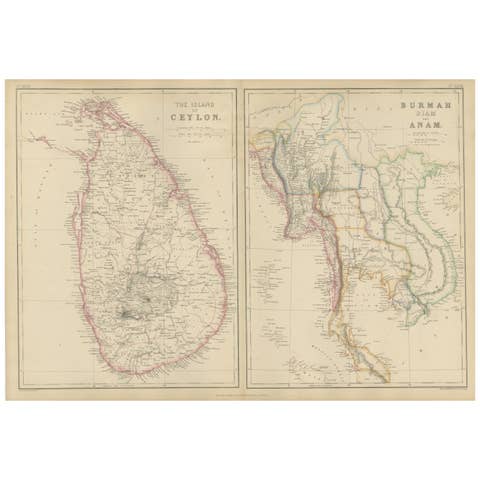
Ceylon, Burmah, Siam and Anam, Antique Map of South & Southeast Asia, 1860
1860 · € 350
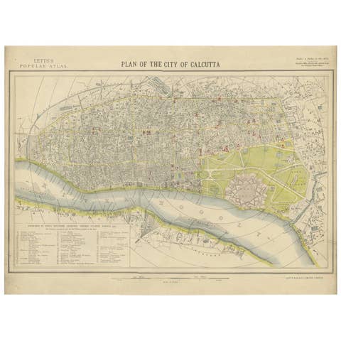
Antique Plan of the City of Calcutta 'India' by Letts, 1883
1883 · € 341
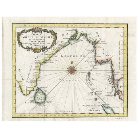
Antique Map of the Gulf of Bengal by J.N. Bellin, circa 1760
1760 · € 264
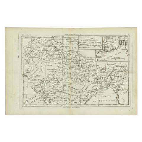
Antique Map of Part of Southern Asia by Bonne, c.1780
1780 · € 125
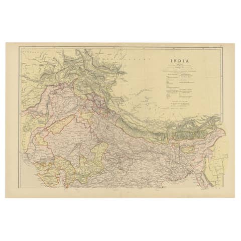
Antique Map of Northern India by Blackie & Son, 1860
1860 · € 220

Antique Map of Northern India by Johnston, 1882
1882 · € 135
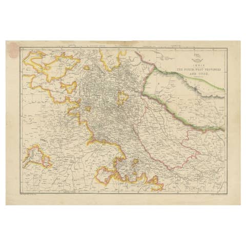
Antique Map of Northwestern India by Weller, 1857
1857 · € 170
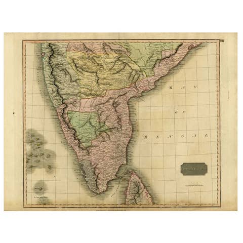
Antique Map of Southern India and Ceylon by Thomson, 1816
1816 · € 175