About this sheet
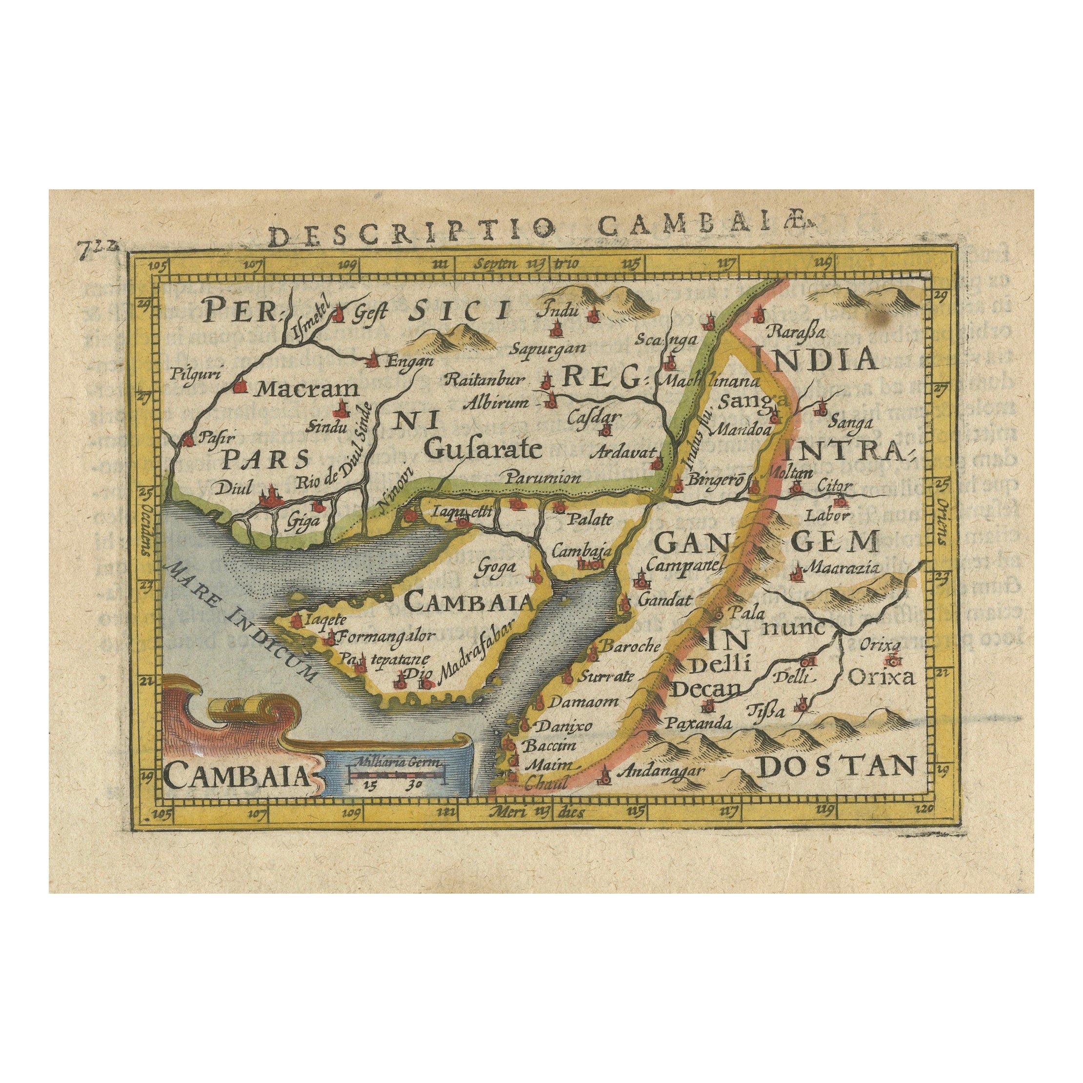
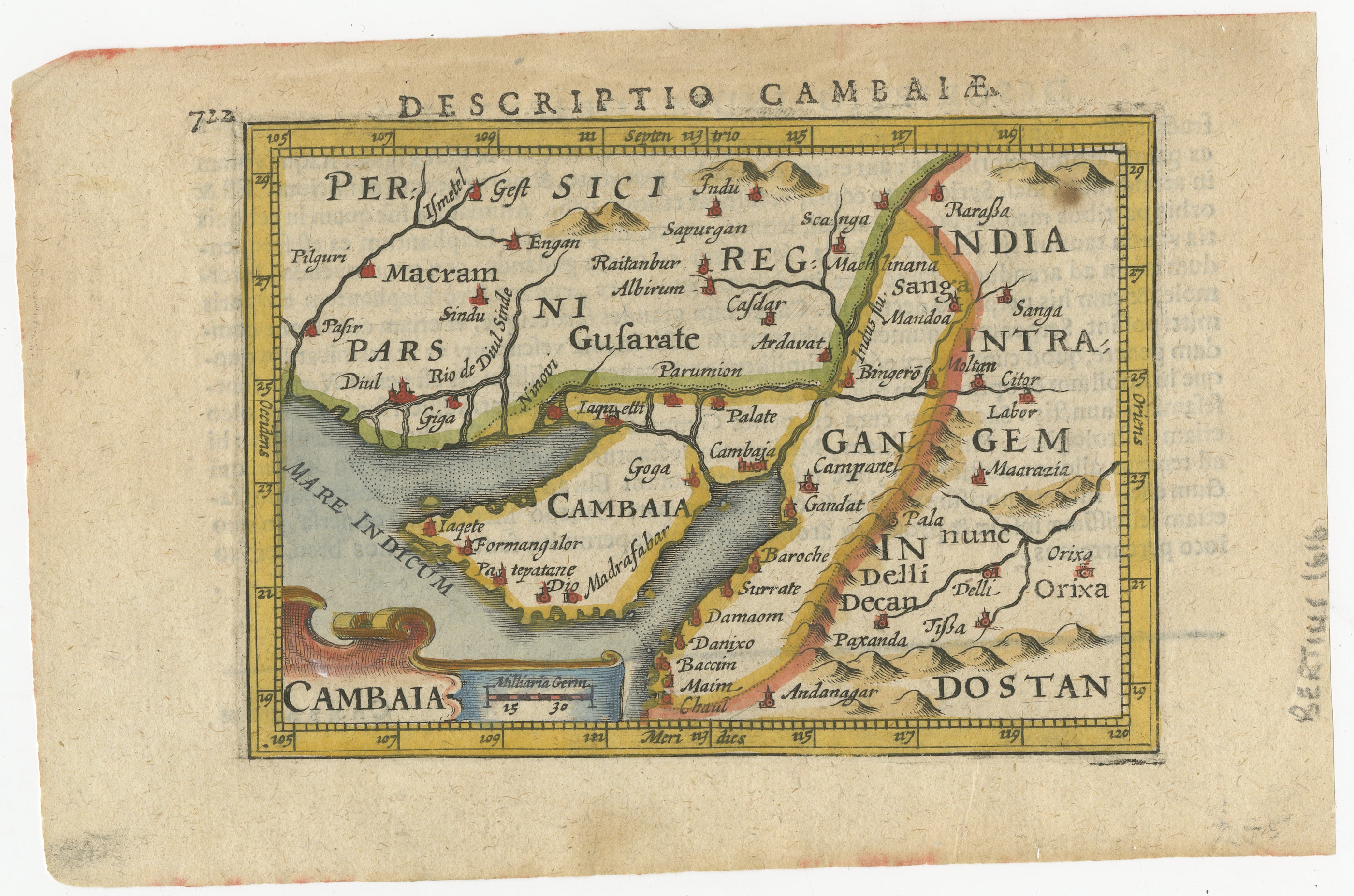
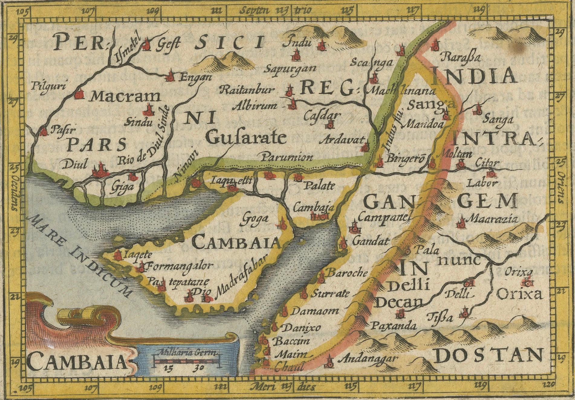
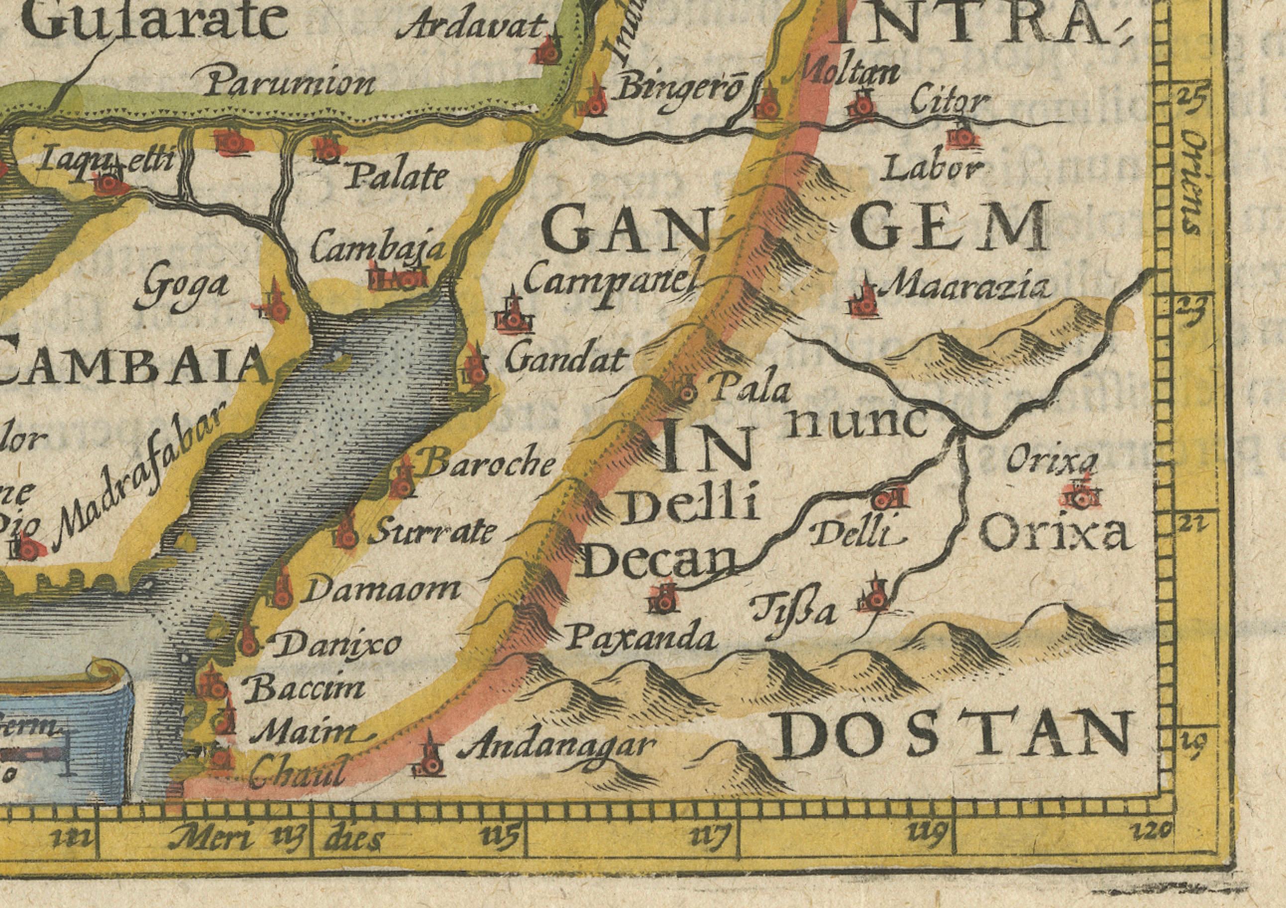
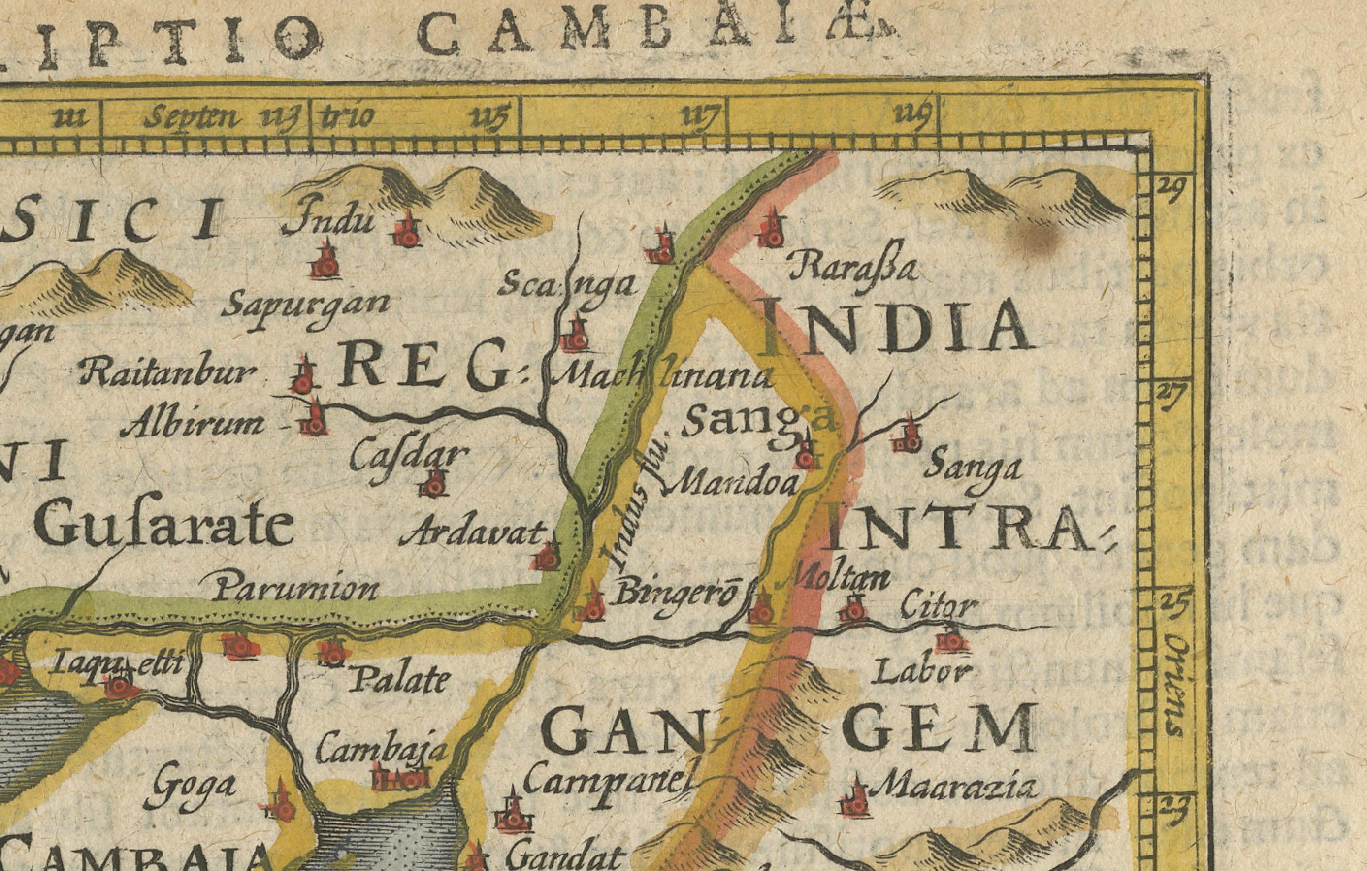
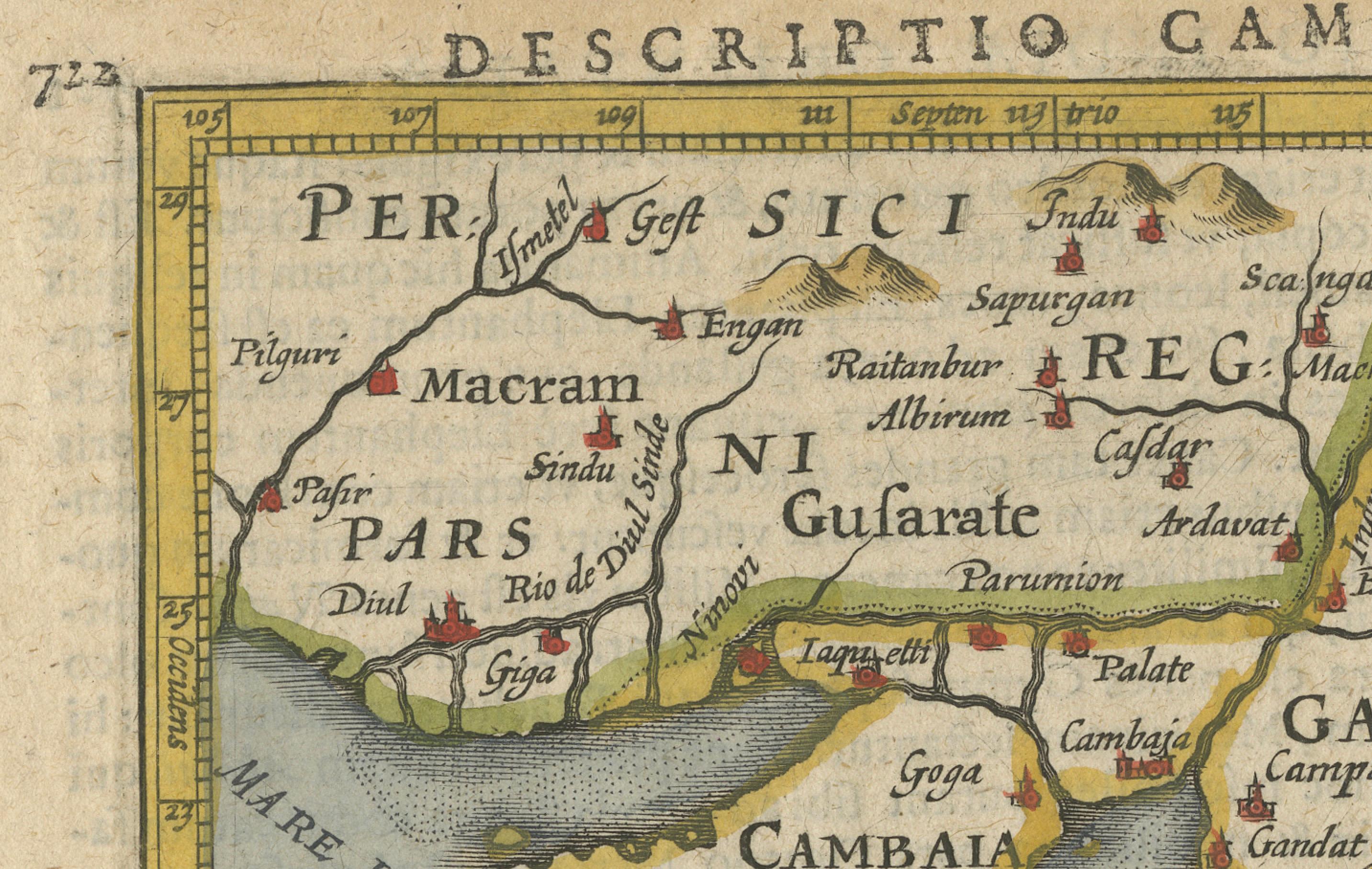
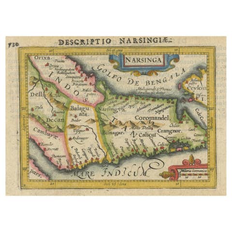
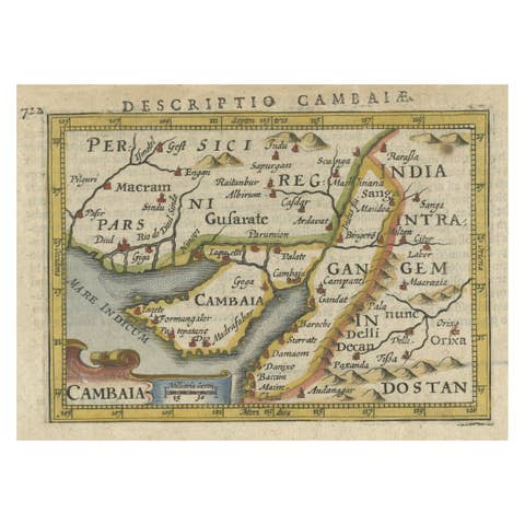
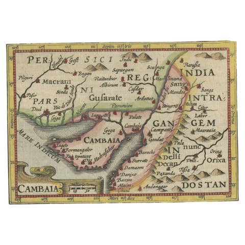
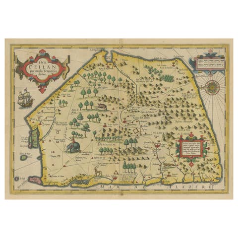
This early seventeenth-century map, titled Descriptio Cambaiæ, was published in 1616 by Petrus Bertius, a well-known Dutch cartographer and historian. It depicts Cambay, known today as Khambhat, along with the surrounding regions of Gujarat, India, and parts of Rajasthan and Maharashtra. The map was originally based on Barent Langenes' Caert-Thresoor, first published between 1598 and 1600, and was later included in Bertius' 1616 edition of Tabularum Geographicarum Contractarum, a widely circulated geographic atlas of the time.
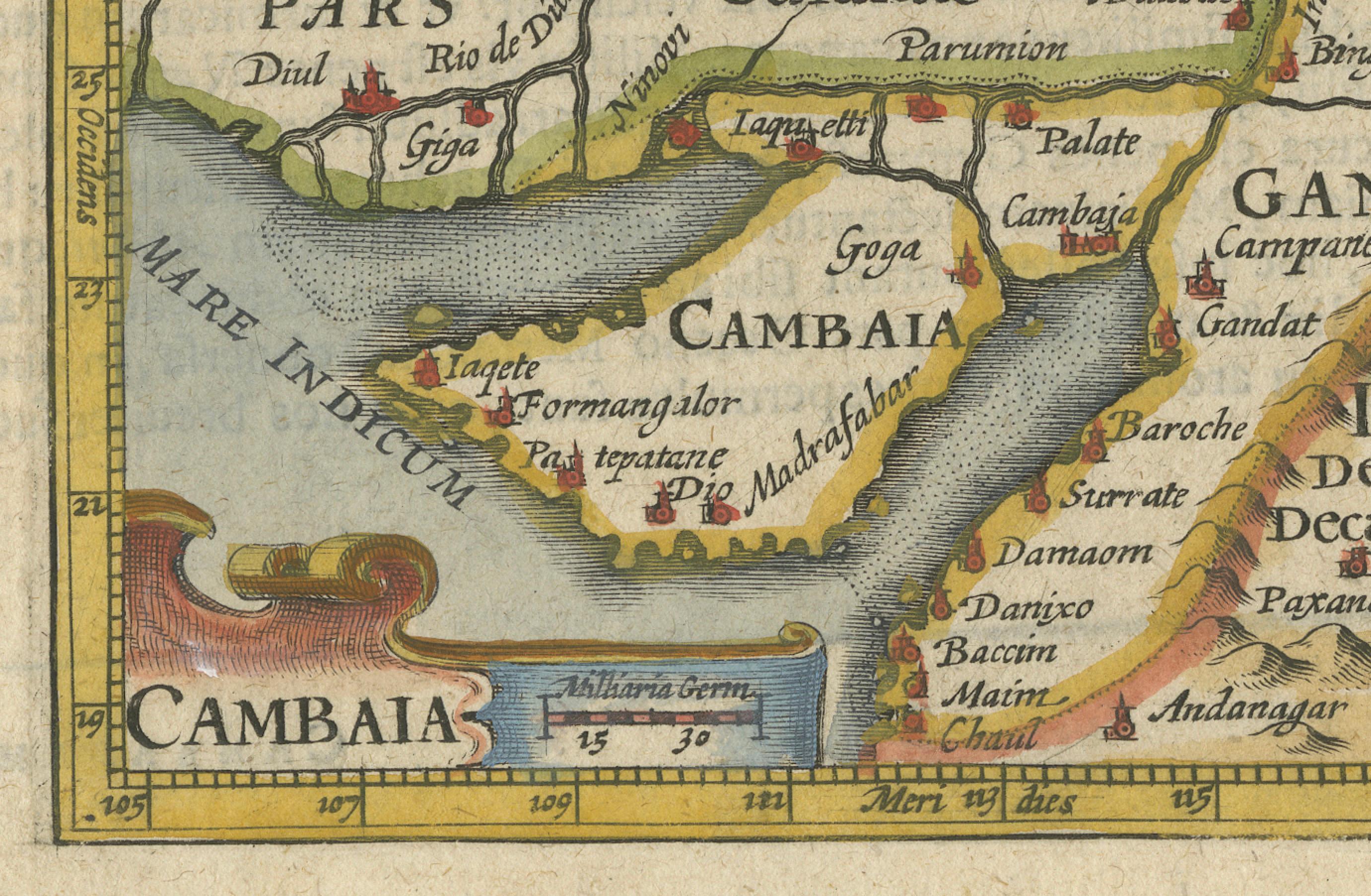
This map provides a detailed view of northwestern India, highlighting significant trade centers, rivers, and coastal ports along the Mare Indicum, or Indian Ocean. The region of Cambay was an important commercial hub during the Mughal period, known for its textile production and extensive maritime trade. The decorative cartouche in the lower-left corner bears the title “Cambaia,” emphasizing the city's significance as a major trading center connecting India with the Middle East and Europe.
The map includes various political and geographical details. It marks Pars, which corresponds to the Sindh region in modern-day Pakistan, featuring locations such as Diul, or Diu, Pafpr, or Porbandar, and Giga. The region of Gujsarate, or Gujarat, includes cities like Cambaya, or Khambhat, Goga, or Gogha, and Madrafabar, or Madrafapur. Further inland, the map identifies Delli, or Delhi, and Decan, or the Deccan Plateau, representing the heart of the Mughal Empire. The map also notes Gangem, referring to the Ganges region, highlighting trade connections between western and eastern India. The Gulf of Cambay is prominently depicted with key trading ports such as Damaom, or Daman, and Bacim, or Bassein, which were part of Portuguese-controlled India during the early seventeenth century.
Hand-colored details add a vibrant touch, with different regions shaded in yellow, green, and red to distinguish territorial divisions. Small red icons representing fortified cities and ports reflect the strategic importance of various locations in regional and global trade.
Cartographer and Source:
Petrus Bertius, who lived from fifteen sixty-five to sixteen twenty-nine, was a Dutch cartographer, historian, and theologian. His 1616 edition of Tabularum Geographicarum Contractarum compiled and reissued maps originally created by Barent Langenes and Jodocus Hondius. Bertius’ work was designed for scholars, traders, and explorers, providing a compact but highly detailed view of the known world during the early seventeenth century. His maps became an essential reference for European maritime powers seeking trade opportunities in India and Asia.
Condition Report:
The paper is well-preserved, showing the fine laid texture typical of early seventeenth-century Dutch printing. The engraving remains sharp, with clearly legible place names and delicate line work defining rivers, coastlines, and settlements.
There is slight age-toning, especially along the edges, which is expected in a map of this period. Minor text bleed-through from the reverse is present but does not interfere with the visual clarity of the map. The original hand-coloring remains vibrant, with only minimal fading. The margins are intact, and there are no significant tears, stains, or restorations, making this a well-preserved and highly collectible example of an early European map of India.
Framing Recommendations:
To properly protect and display this antique map, archival-quality materials are recommended.
For matting and backing, use acid-free, museum-grade board to prevent deterioration. A double mat with a neutral outer mat and a subtle gold or beige inner accent will highlight the fine details and warm tones of the engraving.
A dark walnut, black, or gilded wooden frame will complement the historical character of the map. An antique-style frame with subtle carvings can enhance its early seventeenth-century aesthetic.
To ensure longevity, UV-resistant museum glass or acrylic is advised to prevent fading from light exposure. Anti-reflective glass will allow clear visibility of the intricate details without glare.
For mounting, avoid adhesives that could damage the paper. Instead, use archival-quality corner mounts or Japanese paper hinges to secure the map without causing harm.
The framed map should be displayed in a stable environment, away from direct sunlight, humidity, and extreme temperature fluctuations. A study, library, or gallery setting would be ideal for appreciating its historical and artistic value.
This 1616 Bertius map of Cambay and Gujarat is a rare and historically significant artifact, reflecting early European exploration, trade, and cartographic representation of India. It is a valuable addition to collections focused on antique maps, Indian maritime history, and early cartography of South Asia.